A New Site and a Change of Pace

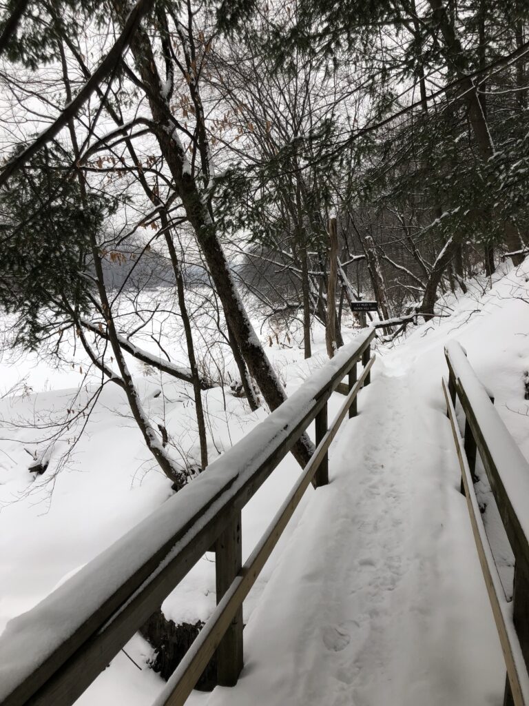
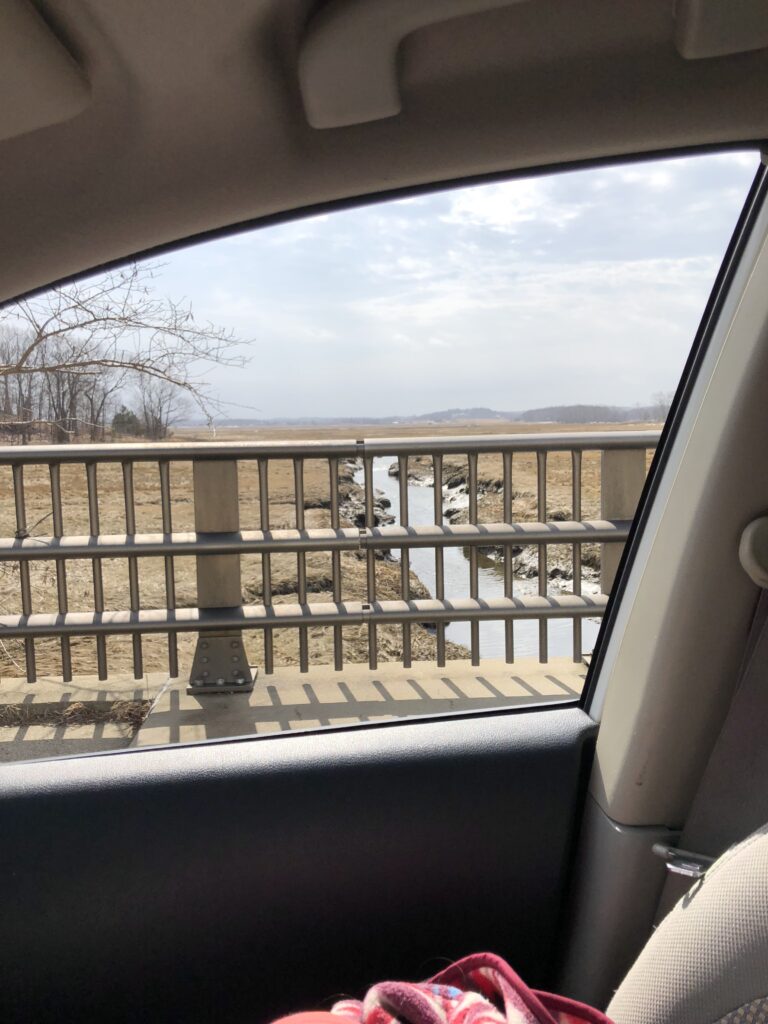
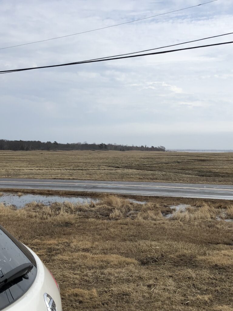
Over this past break I was in a stressed and angry place and really needed a change of pace, so I drove to the beach. The north shore of Massachusetts is only 50 minutes away so I headed up for a day of coastal exploration. I did have a few set destinations in mind, but I mostly drove around with the windows down, slowing to look at the scenery. What I found incredibly beautiful was the salt marshes at this time of year. I can not remember that last time I went to the beach in the winter, it is quite peaceful and arguably just as beautiful. Because of the time of year the grass has died back and though one could argue the brownish yellow grass pales in comparison to the lush green of the summer and fall this time of year give a unique opportunity to view the topography and soil. The tide was also very low at this point which also gave a unique view.

The Massachusetts North shore was carved by the Wisconsin glaciation and was later inhabited by Indigenous groups that migrated seasonally through the are utilizing its various different ecosystems. During colonization, Cape Anne and all along the coast became a large collection of small fishing villages. The area, specifically Rockport, was home to large granite quarries and they used the small port town to transport these large masses of granite to other ports in the country. The are was also home to agriculture and grazing. During low tides, cows would be lead across sand bars to other nearby islands to graze. Now the north shore is still home to local fisheries but also caters to tourism as well. Some other areas I visited are now protected land due to their high levels of biodiversity. The Mass Audubon Society has multiple sanctuaries in the area. There are also many beautiful historical homes, light houses and estates that are now historical monuments.

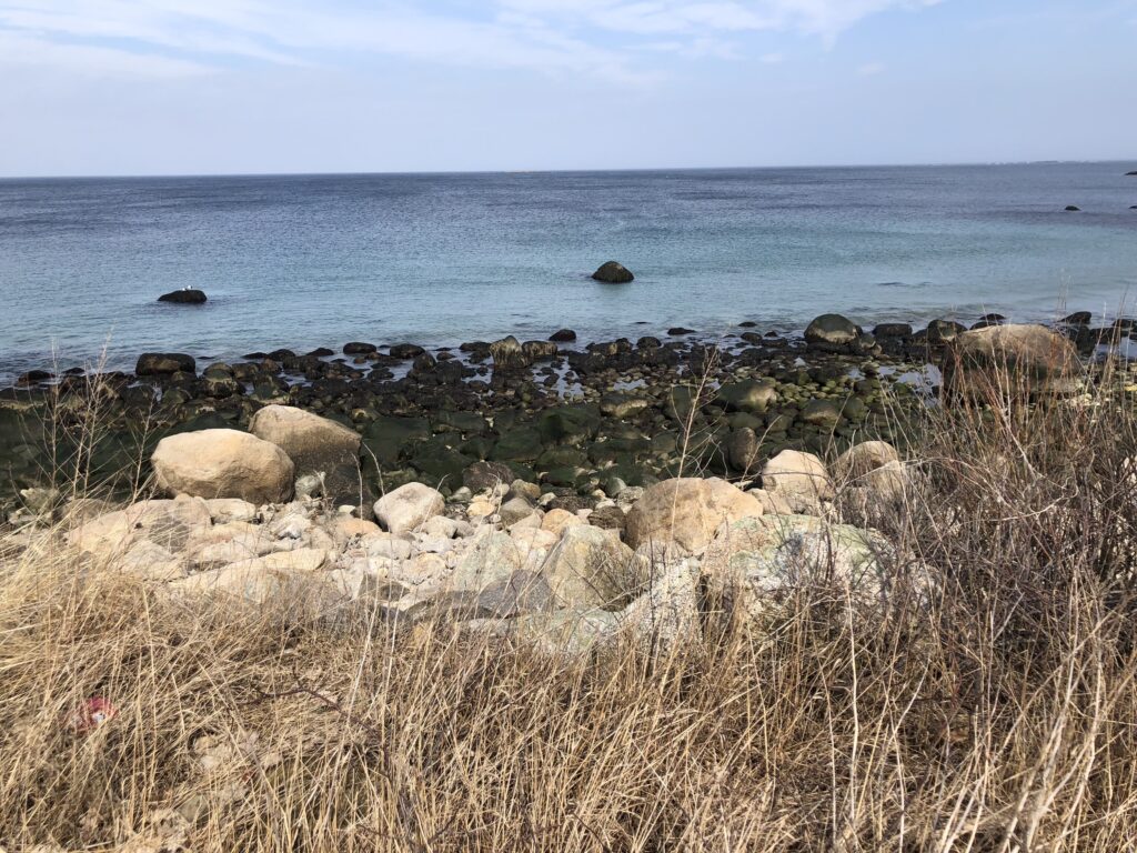
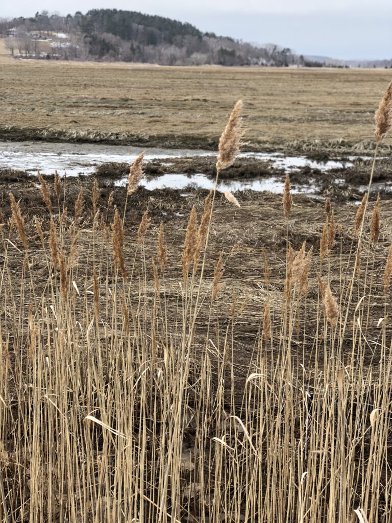
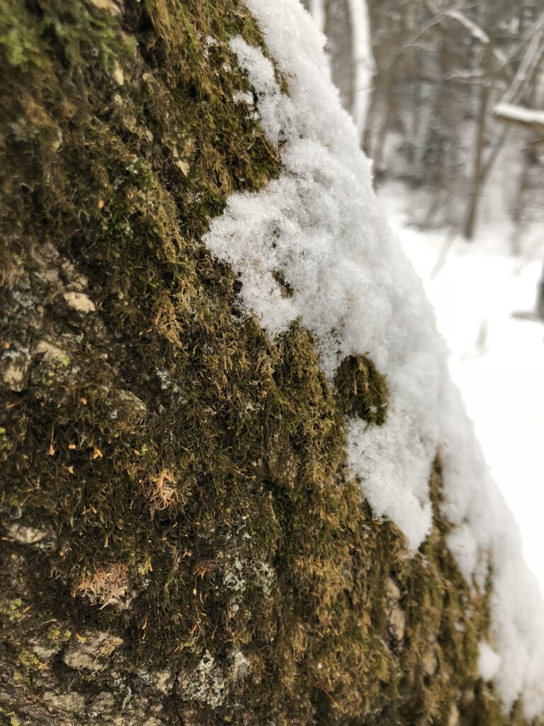
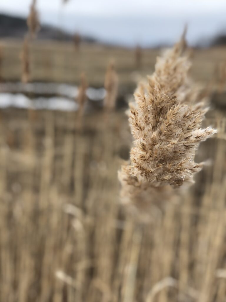
As for species, I should have paid more attention to the bird species as I didn’t do much listening. At this time of yer it is a pretty barres place and the only thing inhabiting the area are some phragmites and grasses. On the waters edges the rocks were covered in sea weed and the beaches littered with shells of mussels.

Thank you so much for visiting this beautiful place with me!

Site Visit #6 – Will Spring Ever Come?

Welcome back to the site!

Over the past month we have gone through cycles of warming yet we still trudge through winter. This past we have received a few fresh inches of snow which brings the world back to stillness. Despite the recent melting, the Winooski River is still frozen and there are still many inches that cover the ground.

Wetland Woodland Wildland Assesment

The book Wetland Woodland Wildland, written by Elizabeth Thompson and Eric Sorenson, give detailed analysis of the natural communities of Vermont. The book has a second categorized by region. My phenology spot falls into the region of the Champlain Valley. The book describes the weather of the region as having higher temperatures than the mountains due to the lower elevation. The lower elevation of the valley determines the weather for the majority of the year meaning it can be much warmer than areas in the southern portion of the state. This however, is not true in the dead of winter when “latitude takes over as the controlling factor in temperature”, and Burlington is often colder than the southern portions of the state.

Based on the natural community classification guide I think my phenology spot could be classified as a forested floodplain. It is in close proximity to the river and over the course of the winter I have watched water levels rise with precipitation. Next to my site is a more open wetland area at a slightly lower elevation and has been flooding recently. Though the area has not flooded yet this year I do think it still qualifies as a forested floodplain. Water is still a main component in the site and plays a large role in the soil type of the area. The water level of the river is constantly changing throughout the year and at various times throughout the year there is a small lower bank of the river where plants do grow and the soil is often flooded. More specifically It can be classified as a Sugar Maple-Ostrich Fern Riverine Floodplain Forest which is known to have boxelder, ostrich fern and diverse herbaceous layer.

Despite the hardwood trees present, the edge of the site could be considered an erosional river bluff. The bank of the river is quite steep and has the clear effects of erosion. This area of the site does meet these qualifications however, this is only a small portion of my site and I think when taking into account the larger area, it should be classified as a forested floodplain.

Phenological Changes

There has only been slight changes in the past month but mostly winter has remained the same. The buds are marginally larger than before signaling the spring will eventually come. But there were no new signs of wildlife and any that were there have been covered by inches of fresh snow.

Thanks for visiting, ill be back with a new site next week!