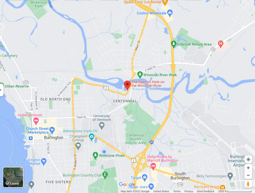
Salmon Hole is located at the edge of Burlington and downtown Winooski. The Winooski River flows through, encouraging biodiversity in the area. This river is a part of the Lake Champlain watershed and travels from parts of Cabot, VT to Montpelier VT. In order to get to this area a UVM student might take a bus half the way and walk the other half. When arriving upon Salmon Hole there is a large overlook of the area and a small walk down a trail to get to the river/forested area. I chose to explore this area for my Phenology assignment because of its easy route and scenic area.
This area has an abundance of vegetation. There are many smaller underbrush plants such as Buckthorn, Riverbank Grape, and a highly invasive plant called Bittersweet. This invasive species is fast spreading and covers much of the vegetation, limiting sunlight to the plants and killing some of the vegetation.
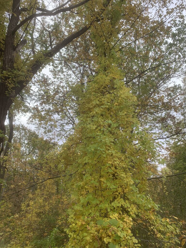
Some of the most common trees in the area include Norway Maple, White Ash, Sugar Maple, Red Osier Dogwood, Basswood, and Rock Elm. The Norway Maple was further into the brush away from the riverbank whereas the Sugar Maple lined the riverbank in the sandier soils.