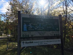
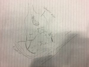
Map before the trail head
Salmon Hole is one of Burlington’s most stunning natural settings, as well as the go to spot for many of Burlington’s anglers. After a quick walk through a grimy part of town (the end of Colchester Ave just before crossing the bridge into Winooski), you’ll find yourself at a small parking lot, with a trailhead located a brisk gander past.
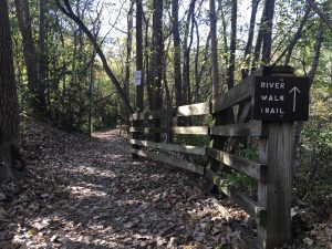
Beginning of the path
Take the first right, and walk down these steps.
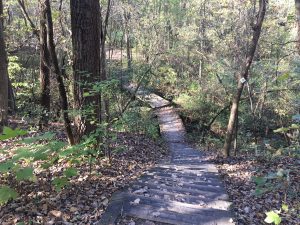
Take your next right, and you will come across a narrow path that opens up onto the rocky face of Salmon Hole.
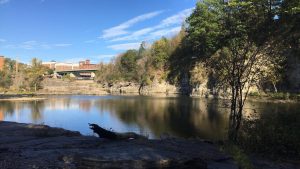
Salmon Hole
My biggest trait I was looking for when choosing my location was that it be located near a body of water. This was primarily due to areas surrounding water being diverse, having more wildlife, and generally being prettier to look at. To my surprise, the landscapes here varied much more than I anticipated.
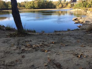
Sandy beach opposite the rock face you initially come out on
From cliff faces to sandy shores, this place seemingly has it all. The vegetation in the area going from path to water, starts out as a hardwood area filled with American Beeches, Boxelders and Basswoods to woody shrubs like Honeysuckle and Buckthorn.
Salmon Hole is a terrific spot, and I recommend it to anyone looking for some scenery paired with walk as there is a trail that leads down the Winooski for some ways. You’ll even encounter this hidden gem:
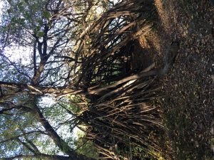
The Hut
You can find Salmon Hole at: 236 Riverside Ave, Burlington, VT 05401
Recent Comments