

 Some species of plants pose a serious threat to ecosystems across the globe. Sometimes, when a nonnative species is introduced to a new area, it is able to grow in the unfamiliar environment. When this happens, it often begins to reproduce rapidly, vivaciously consuming tremendous amounts of resources, as they have no natural predators in this new habitat, and thus, are able to run unchecked. This in turn reduces the amount of native species, completely throwing off the local ecosystems and food chains.
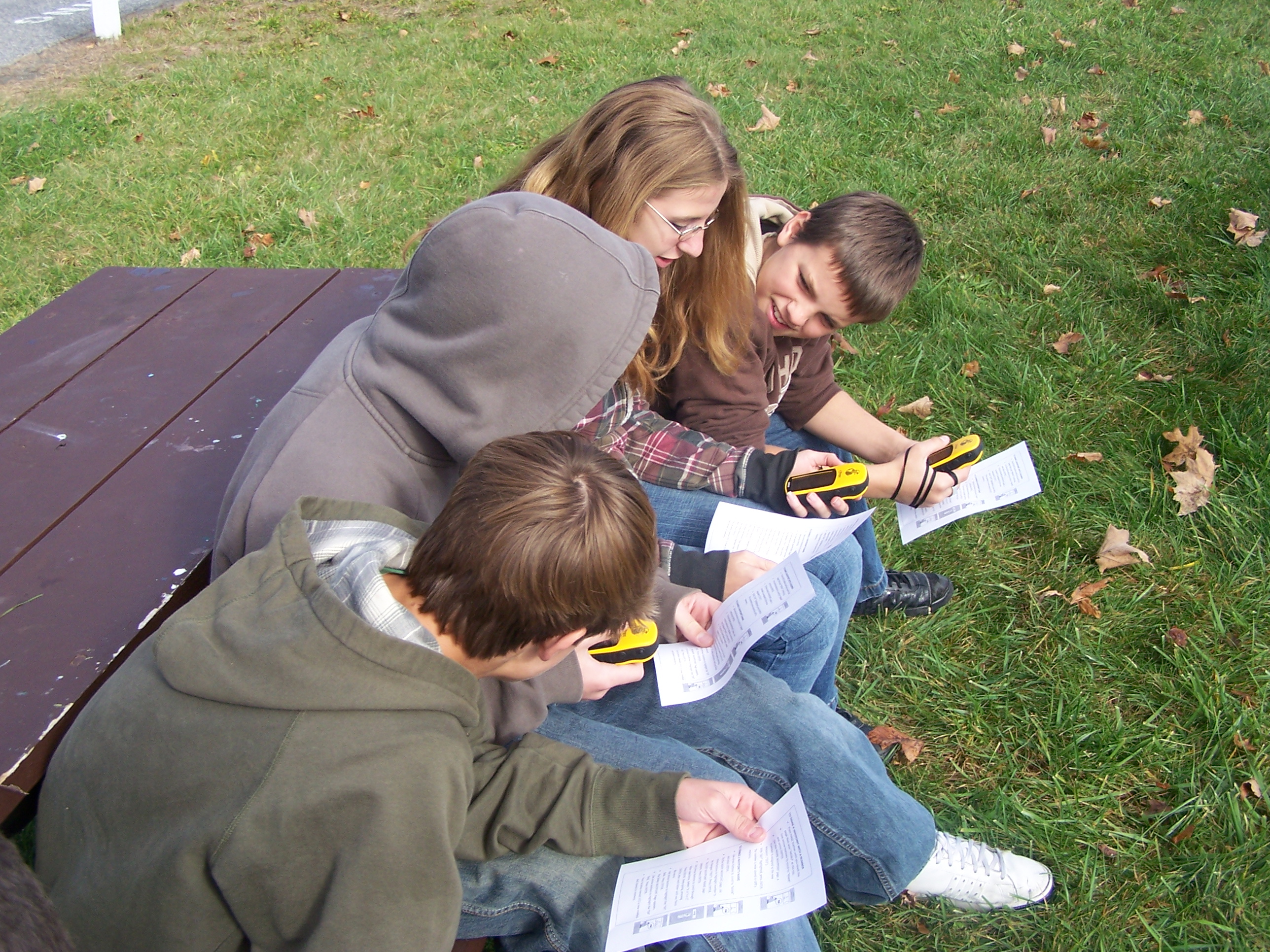
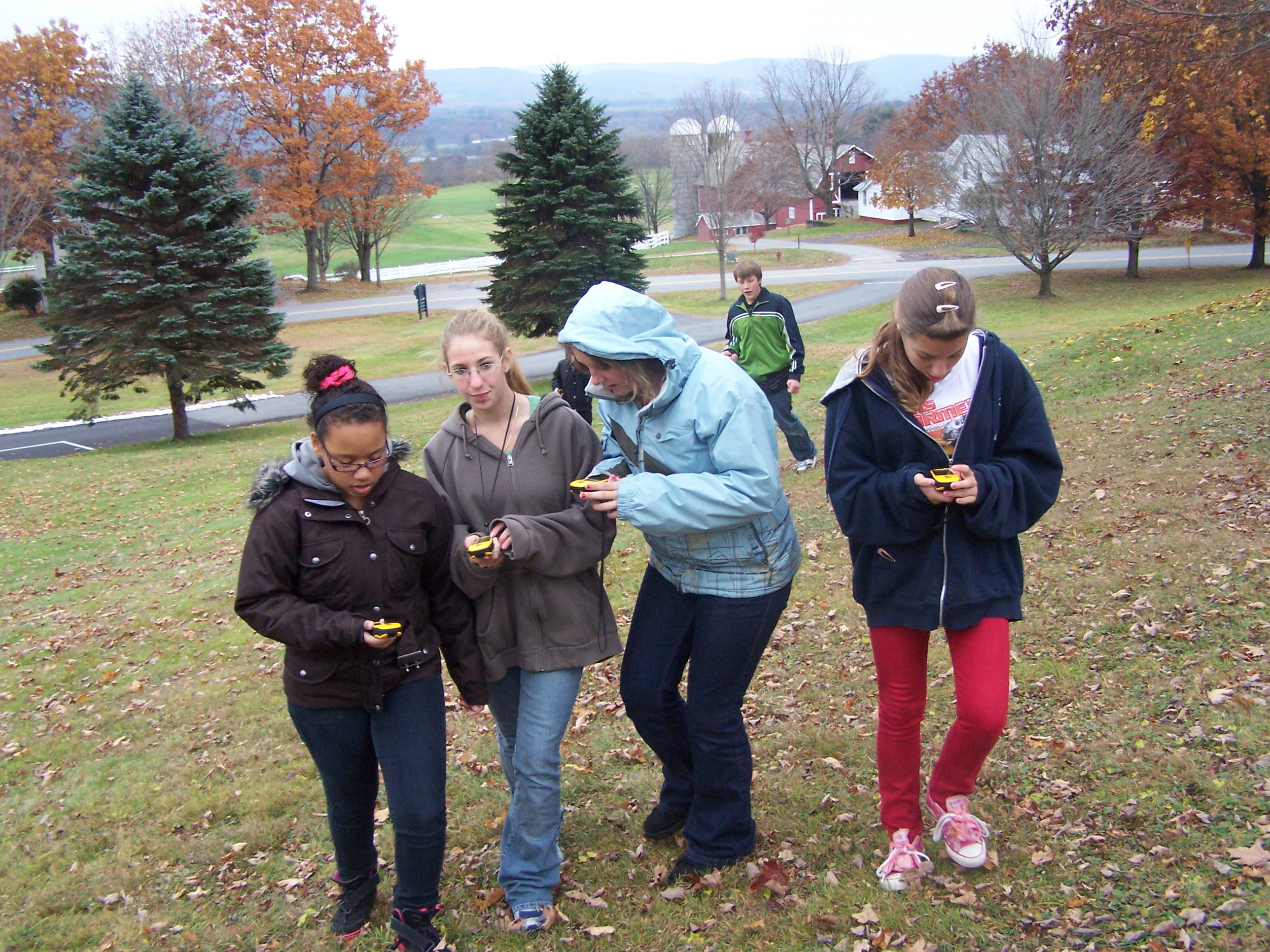
Kurn Hattin School (Westminster) 4-H Tech Wizards’ middle school ability groups “Vermont” and “New Hampshire“ and their Tech Wizard mentors / teachers Tom Fontaine & Lisa Frost learned about, found and mapped the invasive plants on their campus. From Sept 23 to Nov 1, 2013, they learned about invasive plants and explored the campus to find them and record their locations using GPS units. There were a surprising number of invasive species on the Kurn Hattin campus, easily identified as large clumps of a single species of plant. After finding Asiatic bittersweet, Buckthorn, Bush honeysuckle, Burning bush, and Japanese knotweed to name a few, they returned to the science lab, to analyze where and why invasives were dominant. To see what they found, look at — http://www.invasive.org/— National Invasive Species Council
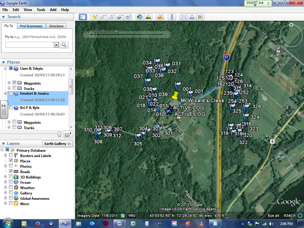
To learn the geospatial skills that they needed, the students learned about latitude and longitude on a globe & on various flat maps and used aerial pictures of their school campus to determine appropriate orientation. Outside, they learned how to mark waypoints and how to use other features of their GPS units, such as lat/long/elevation. Back in the science lab, before creating their digital maps, they learned to view maps as layers of information (data) to introduce the idea of Geographic Information Systems (GIS) and how to use maps & mapping tools to gather & process information from a spatial perspective. With the help of Google Earth, they placed their waypoints onto their digital maps. Some of the websites that they used were www.terraserver.microsoft.com – Aerial photographs and http://www.google.com/earth/explore/products/ — Google Earth download
Have you spotted invasive plant species in your backyard? If so, tell us about them in the comments below!
Recent Comments