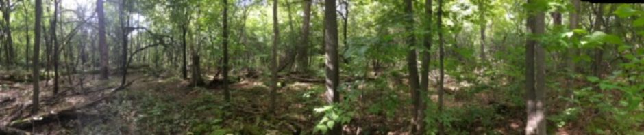
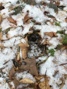
It was about 25 degrees out and cloudy. The canopy cover was about 50%. The ground was frozen and covered with a light dusting of snow. There was a barberry tree filled with bright red berries, providing food for hungry winter birds. I noticed a deer print frozen in the dirt.
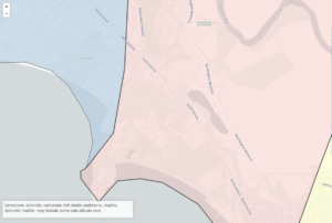
My site is just overlooking Burlington High School, which was built in 1964. Maps from Burlington Geographic can help illuminate the history of the area.
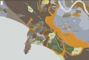
The bedrock geology of the site includes limestone, dolomite, carbonate-rich sediments, and marble. Limestone and other carbonate-rich sediments introduce nutrients into the soil, so the bedrock geology in this area could support agriculture.
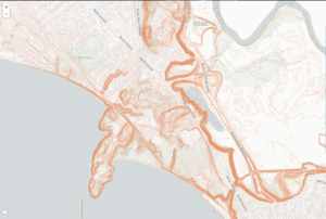
The soil type is extremely variable in the general area of my site.
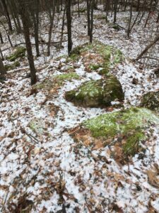
The elevation gradient is relatively steep at my site. The ground is hilly, with many small mounds and depressions. This likely means that the site was never tilled for growing crops, so it was never smoothed out by agriculture. It could, however, have been used as a pasture for sheep or dairy.
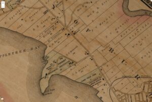
This 1890 map shows who owned property in the area. My site is within a plot of land owned by P.V. Manwell. This was right around the height of the sheep craze. My site has the remnants of a stone wall running through it, so the land was likely used for sheep farming. It was likely clear-cut around this time, because the trees are fairly young (except for a few large maple trees along the stone wall).
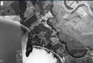
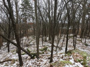
This aerial photograph taken in 1937 shows a partially forested landscape, but my spot is still in a cleared section of land. It has been considerably reforested since this point.
More modern human influences include a trail system, neighborhoods that have fragmented the woods, and noise pollution from the construction of houses and the high school.