https://www.google.com/maps/d/edit?hl=en&authuser=0&mid=1FBnwbSFve8GV9Sfhf-JS0l5aq3Q&ll=41.618436085628275%2C-73.75927139999999&z=18
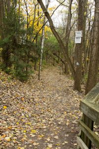
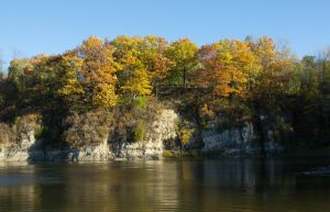
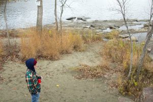
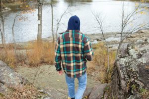
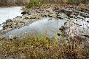
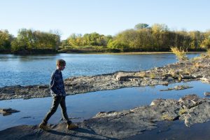
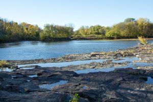
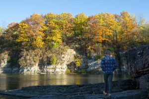
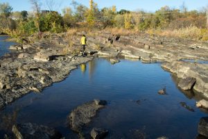
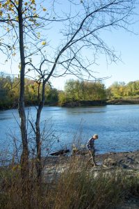
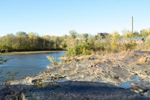
Over the Thanksgiving holiday, I visited my home in semi-rural upstate New York. While home, I found a new phenology location to observe, right in my own backyard! This location showed some very stark differences to my Burlington location at Salmon Hole. First, this location was located in a much more wooded area, and there was much more of an overhead canopy than my location at Salmon Hole.
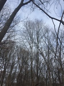
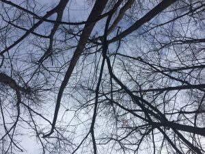
The trees consisted mostly of Basswood and White Oaks. The Basswood was easily identified by its bark, and the ground was littered with oak leaves.
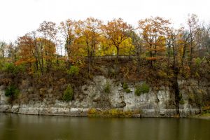
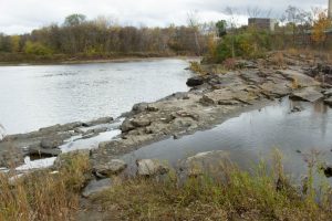
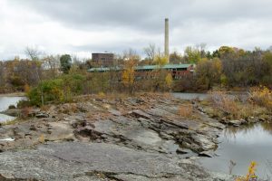
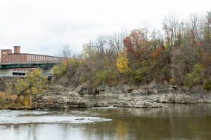
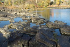
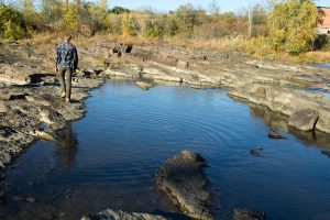
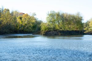
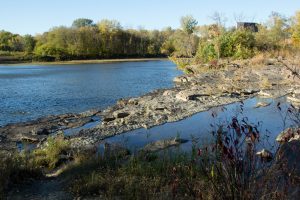
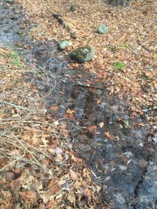
Similar to the Salmon Hole location, this land also contained a body of water. However, the stream that runs through this forest is much smaller than the Winooski River that runs through Salmon Hole. Additionally, because of the lack of precipitation this past summer and fall, the water level was shockingly low, much lower than it has normally been in past years. And rather than being surrounded by rock the way that Salmon Hole is, this stream is surrounded by soil, with a few small rocks resting in the stream itself.
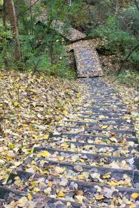
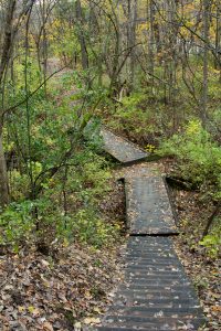
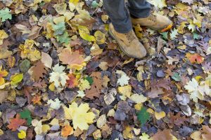
The biggest difference between the two locations was the amount of fallen leaves on the ground. At my home phenology spot, the carpet of fallen leaves was so thick that it felt like walking on pillows, clearly built up over years and years of leaves falling. On the contrary, Salmon Hole is mostly hard rock surfaces, and whatever leaves are scattered on the ground have just fallen this year. Similarly, there are significantly less trees at Salmon Hole to drop leaves, and their leaves are much smaller than the large oak trees at my home phenology location.
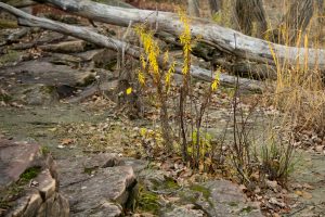
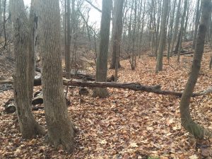
One interesting thing I found was an old rock wall running through the forest, almost completely buried by the abundance of decaying leaves.
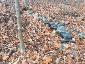
The wall is clearly quite old, and made me consider the previous land use history of my property and backyard. I know that much of the land in the area was/is still currently used as farmland, and finding this rock wall makes me think that this land also used to be used as farmland. It was very similar to the rock wall that we found at Ricker Mountain on the lab a few weeks ago, when we were examining the land use history.