Easy-read map of Falling Springs Run Park:
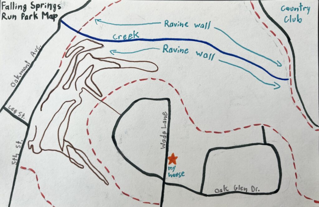
Key:
Black lines – road
Brown lines – bike paths
Red dotted line – boundary of woods
Star – my house
Blue line – creek
Description:
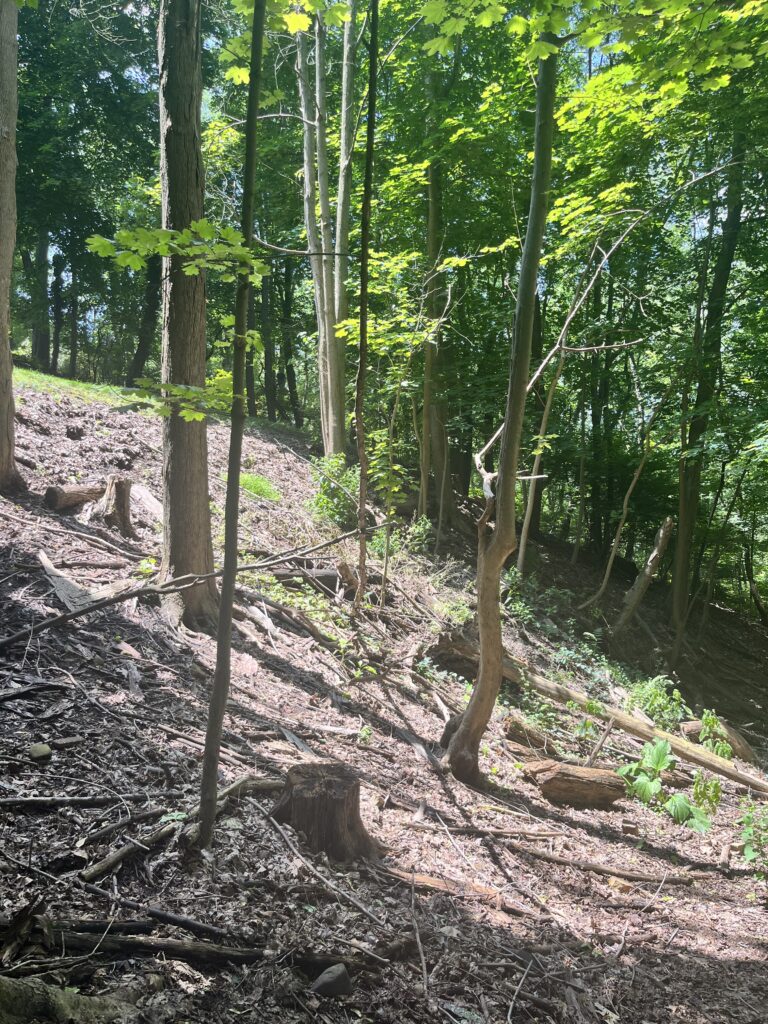
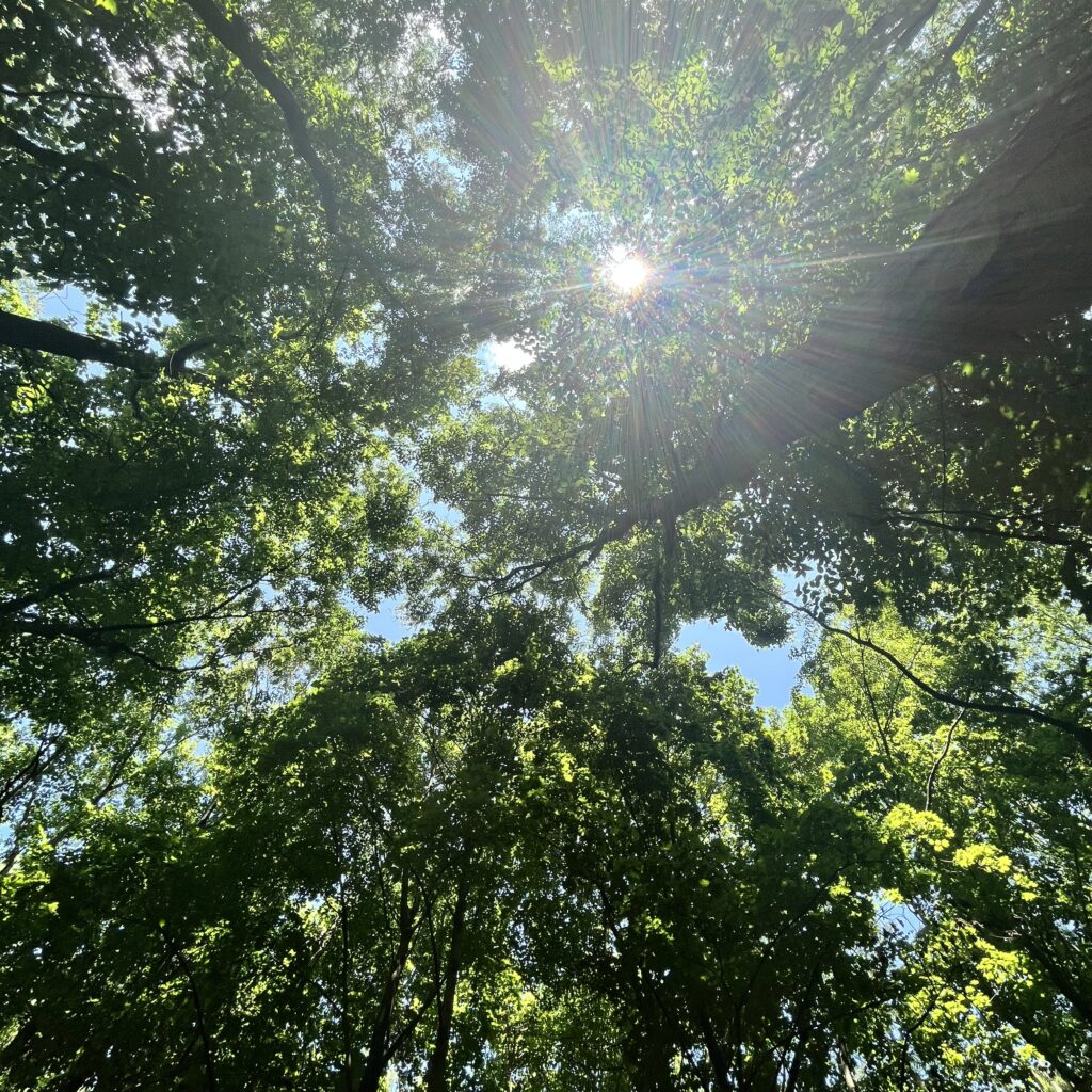
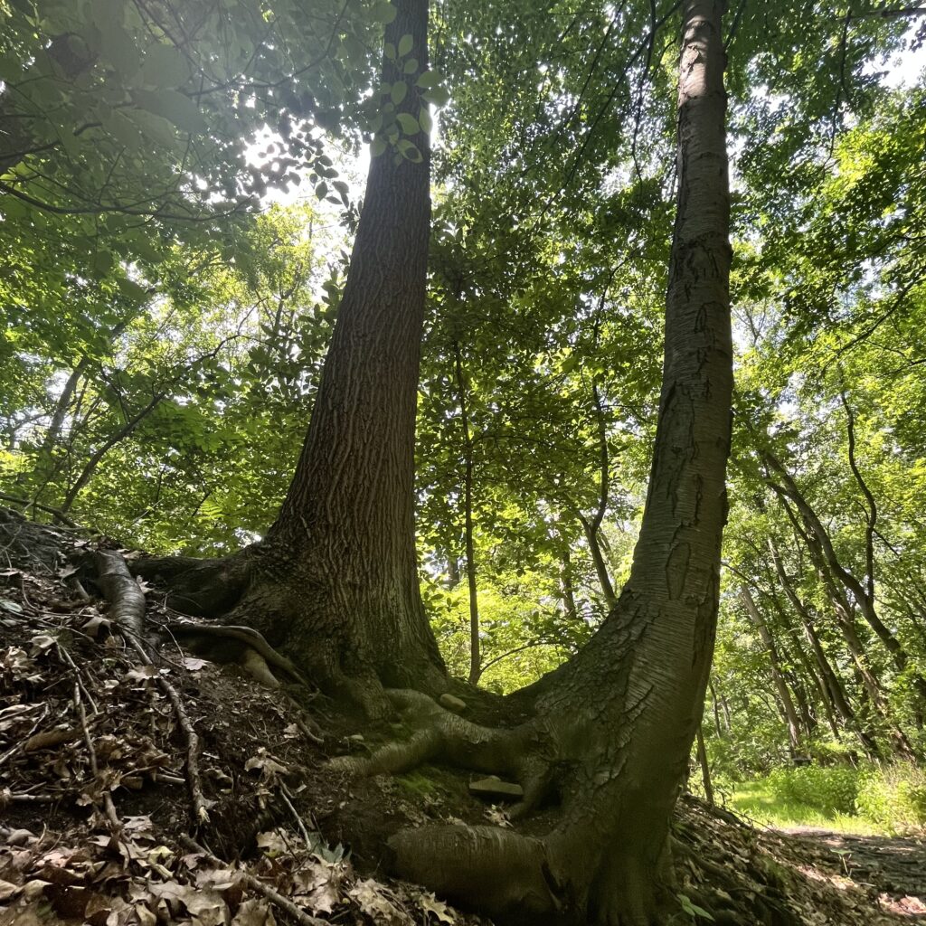
I realized, as I was describing things in my wonder blog posts and podcast, that I could not accurately describe the area which I was in. This led me to create a small detailed map of the woods surrounding my neighborhood. This way, the posts make more sense overall if referring to this image. I decided to walk the entirety of the trails, and I drew them out roughly as I went along. As you can see, it is not a very large area. It is completely surrounded by development. However, it has a very “middle of the woods” feel the whole way through, especially near the creek and ravine. I could not figure out how to accurately draw topography on this map, so I settled for showing where the ravine walls are. There is about a 200 foot elevation change from the top of the ravine to the creek down below. What really interested me when making this map was just how short the creek actually is, with designated start and stop points. I know that it ends in sort of a marshy area, but I am not sure what the source of the water really is. I had a lot of fun creating this mini-map of my neighborhood and the surrounding area. I think that the wonder blog assignments overall have greatly deepened my relationship to the area.