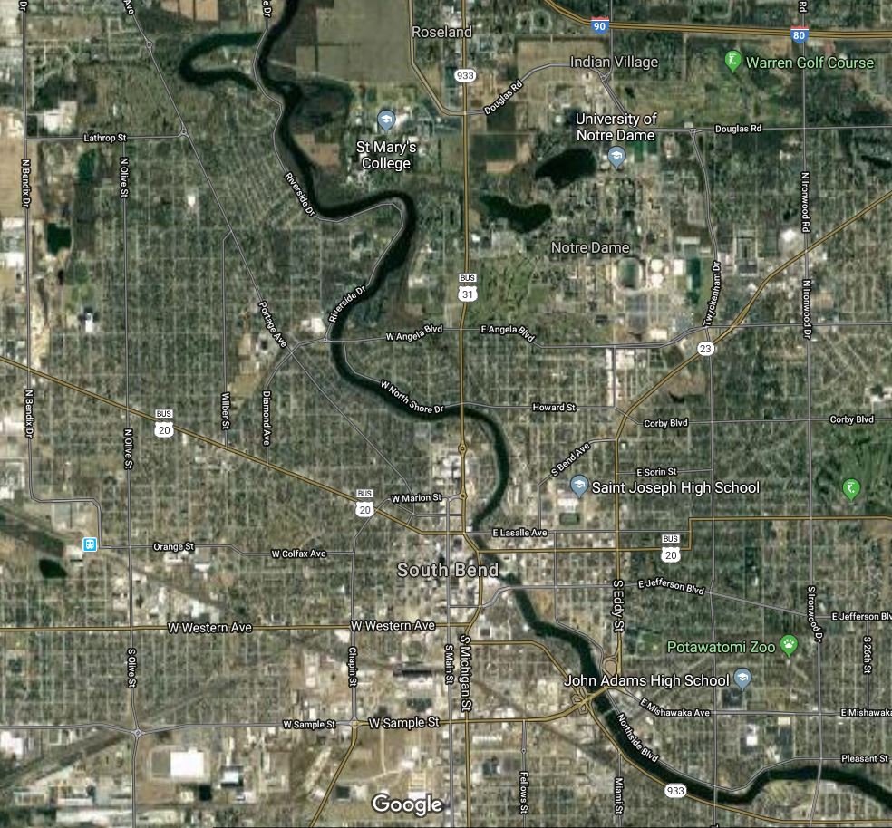
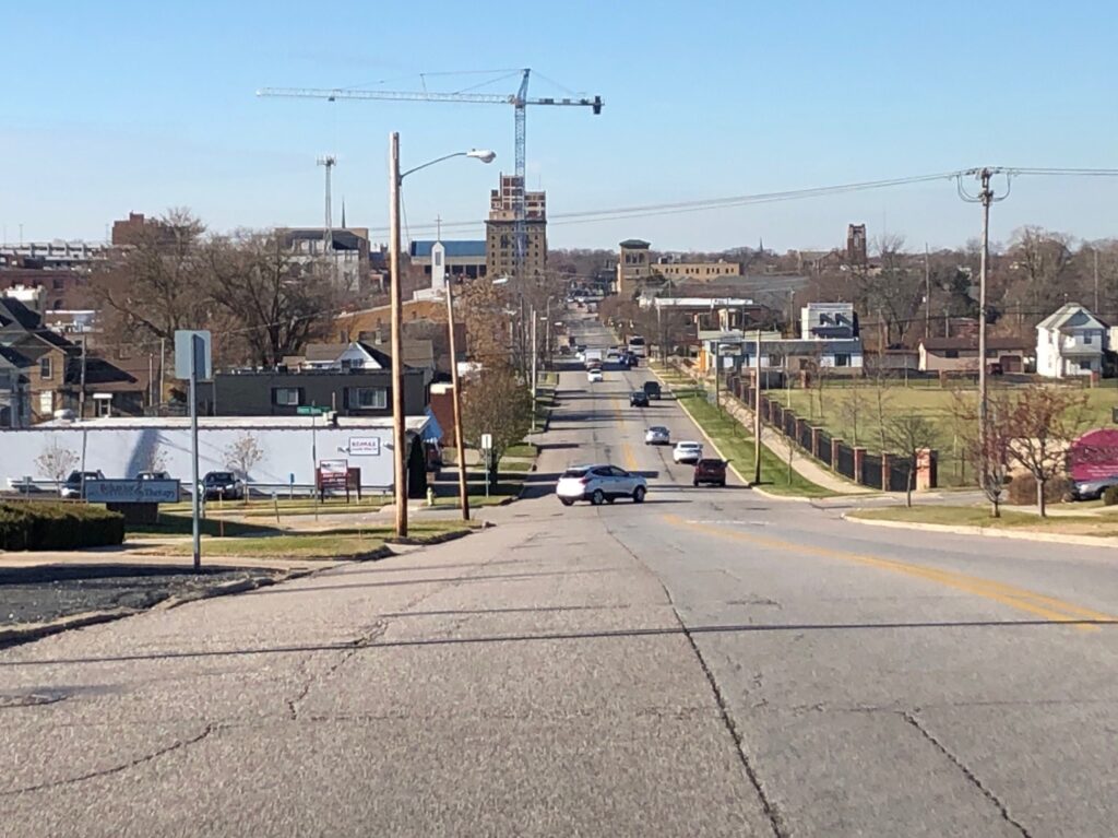
I was not able to spend my Thanksgiving break at home but I think that being away from home gives me a unique experience to reflect on it from a distance. Being away from home has really shown me what I appreciate about it and what I have come to think is important about it. South Bend, Indiana is the city that I call home, rests in a large basin that looks nothing more than a hill. However, this hill is evidence of the ecological history of the area. Around 10,000 years ago the Wisconsin ice sheet covered the landscape in which the city of South bend now sits today. As the glacier moved it carved out the basin leaving behind a massive river about 20 times larger than as it is today.
This river was called the Sakiwäsipi river by one of the indigenous tribes of the area, the Miami people. These peoples likely used it as a source for food and water as well as transportation along with the Pottawatomi another indigenous tribe. This land was populated by elk and white-tailed deer and by native tree species such as maple, ash, oak, elm, walnut, and beech. Then when French settlers came to the area the french called La Rivière des Miamis (The river of the Miami by the French). Thes settlers in the area used the river for transportation trade good to Lake Michigan, especially for power for sawmills and to transport timber from logging. These settlers like the native peoples saw the river as a source for their livelihood. However, as we have studied thoroughly throughout the class they lacked a sustainable attitude towards the river and deforestation shaped the landscape and the future use of the river into what it is today. I have gone into detail about this land history not only because I already knew quite a lot due to my own past research on the topic but also because by analyzing the historic land use it can give some insight on why now the river is not as healthy as it might have been.
In the present-day, the Saint Joseph River is not the most healthy, I know because I was born at a hospital an out a block away from the river and lived for 18 years in a house even closer to it. I also found after doing some water quality tests for another project. This is likely because the residents subconsciously still hold the settler’s view of the river. Simply as a resource to be used at humans disposal. I like to believe that I don’t share that view because growing up I spent several hours each day by the river, first in a stroller on walks with my parents, then playing in a river park with friends, then search it out as a spot for respite from schoolwork or stress. I came to create an association between these positive experiences and the Saint Joseph River. Due to this, a core part of my sense of place is being close to bodies of water and attempting to be in dialogue with the area. I feel at home when I am able to access a body of water. That is why when coming to UVM I have been so engaged in the labs relating to gaining information on Lake Champlain the more I can be around this body of water and the more I know about it, the more at place I feel here. Also, the more I learned about Champlain in my Natural Resource class the more parallels I found to my own home and the Saint Joseph river which also connected to my sense of place. By looking at the history of a landscape and breaking it down into its foundations, one can find that there are so many similarities With this mindset, I believe that I can find a home anywhere, which going forward in life will help support my well being as I enter new places.
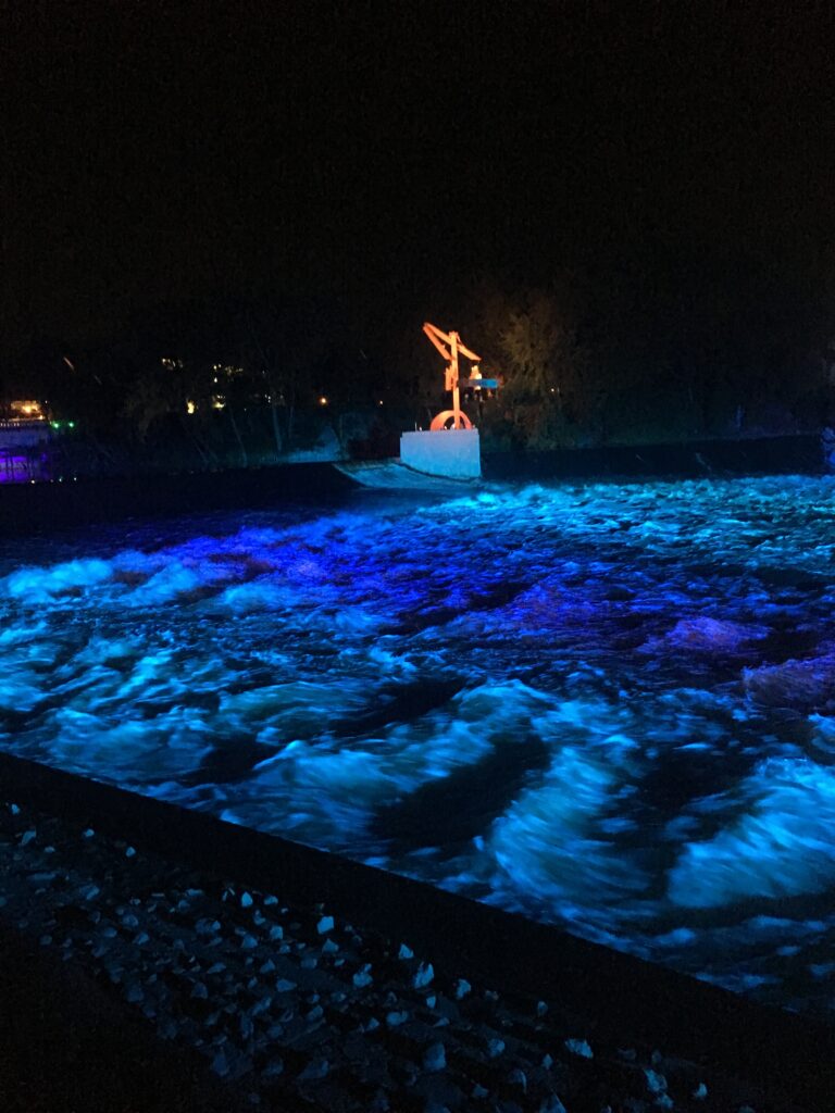
An image of the Firekeeper’s sculpture lit by the river lights on the Saint Joseph River.
Research Cited:
DeGraves, A. (2005). st. joseph river watershed management plan. Retrieved 5 December 2019, from https://www.in.gov/idem/nps/files/wmp_stjoeriver-lakemich_01-399.pdf
Wilson, J. (2008). How the Ice Age Shaped Indiana. Retrieved 5 December 2019, from https://www.csu.edu/cerc/researchreports/documents/HowtheIceAgeShapedIndiana.pdf