Over break I decided to hike up Mount Wachusett in Worcester County Massachusetts. The Mountain is home to a popular ski area as well as several hiking trails leading to the summit. A friend and I hiked the longer winding Harrington trail, taking note of the nature around us on the warm(ish) sunny day. The warmer weather caused some of the snow and ice to melt, and also lead to all the icicles from the tree branches to fall, littering the ground with hundreds of small chunks of ice. On the way up, we passed four other hikers all walking with dogs, so there were many dog tracks especially on and surrounding the trail. As well as these, we also spied some deer tracks cutting across the trail, I saw that the tracks direct registered. As for plant species, we saw some Hobblebush, American Beech, Sugar Maple, Spruce, Yellow Birch, and some others. We could tell how the forest structure changed on the way up as we saw more evergreen trees at higher elevations. The forested nature of Mount Wachusett and the human interaction makes it similar to my Phenology spot in Centennial woods, but the higher elevation of the Mountain makes the structure of the forest different.
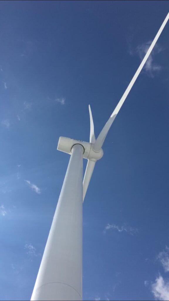
The area has an interesting history of human interaction, with the ski area, and wind turbines more recently, to its past as home to the Nipmuc Native American tribe that gave the mountain its name. The ski area has provided a great source of outdoor recreation on the mountain for many years, but it is very important to remember the injustice and mistreatment of the Native Americans due to the colonization of the area. Also, prevention has had to take place in preventing the ski area from sprawling into the natural area of the old growth forest on the opposite side of the mountain. That space is used for hiking, but it is important to preserve the landscape for its environmental benefits. At the base of the mountain, near the entrance to the hiking trails, there are two wind turbines. Added to the landscape between 2009 and 2011, the wind turbines provide power to the city of Worcester Massachusetts. The usage of renewable energy sources is a vital way of moving away from fossil fuels.

