Monthly Archives: November 2016

A Different Place: My Experience in a Different Place

Map I sketched of the Sugar Bush

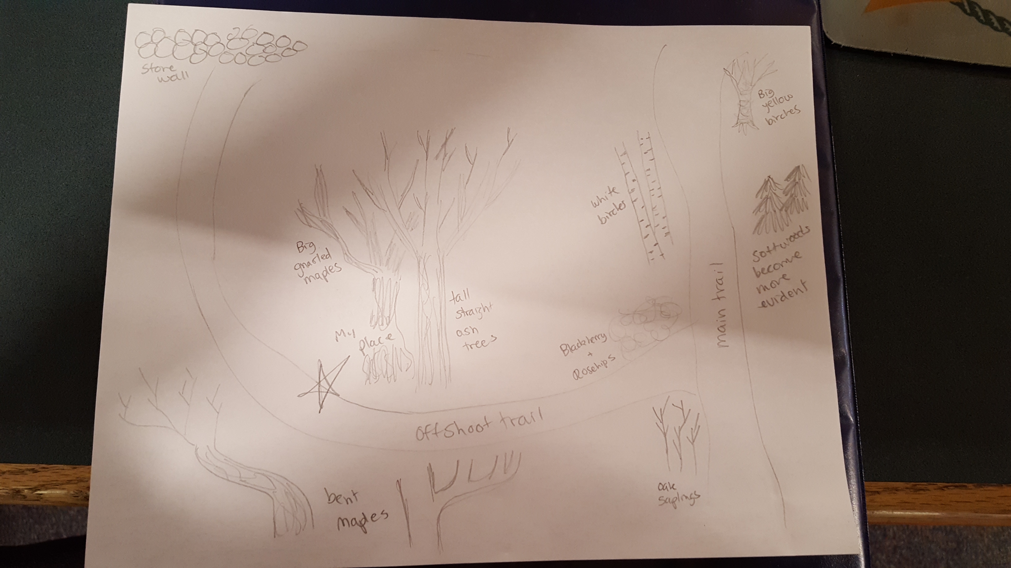
Hoag, Franni. (Sugar Bush Sketch) 2016 JPG File

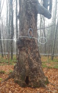
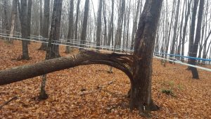
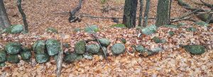
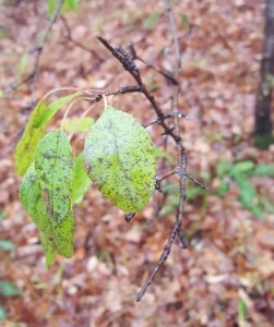
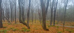
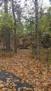
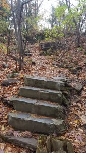
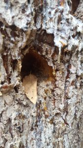
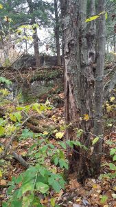
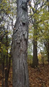
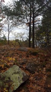
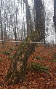
The place that I chose to explore this Thanksgiving Break is the sugar bush behind my house. The forest is maintained by my neighbor and it has been certified as an organic maple orchard. At one point, a section of this sugar bush was used as farmland, as made evident by the stone wall that runs along the lower edge of the property. The sugar bush is predominately (if not entirely) hardwoods in the eastern most point, but slowly transcends into a mix of soft and hardwoods, before turning into a predominately softwood, swampy area. The most common tree present is inarguably sugar maple, although ash is also scattered throughout. As more softwoods are present, more yellow and white birch are also seen. The softwoods present include hemlock, pine, and spruce. One specific spot that I particularly like was along a very faintly marked trail. Several of the trees were bent. This was in the predominately hardwood section of the forest.

Closer look at one of the significant "bent" trees
Closer look at one of the significant “bent” trees

Hoag, Franni. (Home Spot) 2016 JPG File

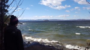
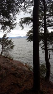
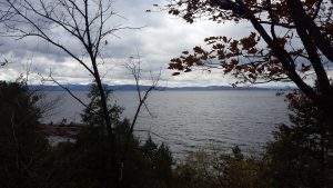
This is a much more remote location than my usual place in Burlington, at Oakledge Park. It’s also not quite as beautiful; there is no Lake Champlain to look out onto. I am, however; much more familiar with the place that I visited this break. I have been exploring this sugar bush since I was very young; my family uses the trees that have naturally fallen for firewood every year. I have a very strong connection to this place.

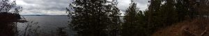
Ecologically, this place also differs greatly from my place in Burlington. There are several Red Oaks that frame my place in Oakledge Park; however, there are very few in the sugar bush. Most that I saw were saplings. My place at Oakledge Park is also much more diverse in the sense of plant species present. I would say that there is not really a dominant species in my place at Oakledge; however, Sugar Maple, unsurprisingly, is the most prevalent species in the Sugar bush. The elevation of the sugar bush is also much higher, at approximately 1130 feet (according to my phone’s barometer) at it’s highest point. My town borders the Connecticut River Valley, but the sugar bush is in the hills leading westward from the river, attributing to our high elevation.

A Different Place: Pictures of the Place I visited over Break

Big, gnarly sugar maple we found walking.

Hoag, Franni. (Home Spot) 2016 JPG File

An ash that some bird(s) has their way with
An ash that some bird(s) had their way with

Hoag, Franni. (Home Spot) 2016 JPG File

Appears to have fallen off naturally, although my neighbor (who manages the forest) seems to have started to split the fallen log for firewood

Hoag, Franni. (Home Spot) 2016 JPG File

Closer look at splitting tree

Stonewall running at edge of forest

Hoag, Franni. (Home Spot) 2016 JPG File

Unidentified, somehow still-green leaf

Hoag, Franni. (Home Spot) 2016 JPG File

Closer look at one of the significant "bent" trees
Closer look at one of the significant “bent” trees

Hoag, Franni. (Home Spot) 2016 JPG File


View looking down into the sugarbush

Hoag, Franni. (Home Spot) 2016 JPG File

Event Map, More Changes, More Photos

This week’s phenology assignment revolved around the creation of an event map. Prior to reading Hannah Hinchman’s “The World As Events” I had never heard about an Event map. An Event Map is essentially a map of one’s personal experience in a place; a way to record things natural and unnatural that occur in a place of observation (or at least that is what I interpreted it to be). I tried my best to recreate an Event Map in reference to my place in Oakledge Park.

My Event Map
My Event Map

Hoag, Franni. (Oakledge Park Spot) 2016 JPG File

I sort of drew events and occurrences chronologically as I visited my place. I began the map (assuming that Event Maps are allowed to have a definite beginning) of when I first found my place, which was walking along the bike path at Oakledge Park and noticing the offshoot trail, which in real life, looks like this:

20161106_121453

Hoag, Franni. (Oakledge Park Spot) 2016 JPG File

This then led me to travel up the path, to a set of steps (below), which I also photographed the most recent time I visited Oakledge park. From this point in my map I listed many notable occurrences and observations.

20161106_120225

Hoag, Franni. (Oakledge Park Spot) 2016 JPG File

Here are some pictures of the things that I recorded on my Event Map:

Small holes in Red Oak tree. I assume that they are from a woodpecker because I have seen woodpeckers peck at this tree multiple times.

Hoag, Franni. (Oakledge Park Spot) 2016 JPG File

Very large woodpecker holes in (if I remember correctly) a pine, several feet downhill from my place.

Hoag, Franni. (Oakledge Park Spot) 2016 JPG File

Up-close image of woodpecker hole, dripping sap/pitch also visble
Up-close image of woodpecker hole, dripping sap/pitch also visible.

Hoag, Franni. (Oakledge Park Spot) 2016 JPG File

White, foamy, caps on waves on Lake Champlain, high wind speeds that day. Sunny, clear, cold outside. Down the hill from my place.

Hoag, Franni. (Oakledge Park Spot) 2016 JPG File

Evidence of fire on concrete platform.

Hoag, Franni. (Oakledge Park Spot) 2016 JPG File

Below are some new pictures that I took this past Sunday, some relevant to my map but many just of the scenery visible from the concrete platform as well as the exposed rock ledge.

Panorama of the view taken from several feet below the exposed rock ledge and concrete platform.
Panorama of the view taken from several feet below the exposed rock ledge and concrete platform. One of the pathways is visible.

Hoag, Franni. (Oakledge Park Spot) 2016 JPG File

Image of my place from the trail leading up to my place.

Hoag, Franni. (Oakledge Park Spot) 2016 JPG File

Unidentified tree, the bark appears to be that of a shagbark hickory, but I am not entirely certain that this tree is a shagbark hickory because the range of said tree doesn't necessarily extend into northern Vermont.
Unidentified tree, the bark appears to be that of a shagbark hickory.

Hoag, Franni. (Oakledge Park Spot) 2016 JPG File

View looking towards the platform from the rock ledge.

Hoag, Franni. (Oakledge Park Spot) 2016 JPG File

View of Lake Champlain, little ways downhill from my place.
View of Lake Champlain, a little ways downhill from my place.

Hoag, Franni. (Oakledge Park Spot) 2016 JPG File

View of Lake Champlain from rock ledge at my place.

Hoag, Franni. (Oakledge Park Spot) 2016 JPG File

Not much has changed at my place since I last visited. More leaves have fallen and a considerable amount of human litter was on the platform, including beer cans, alcohol bottles, and clothing. This was sort of sad to see. My place does not seem to be frequented by people, but when people do find it, they leave it a mess, which makes me sad. I am hoping to see less of this as the temperature continues to drop, making Oakledge Park a less desirable place for irresponsible people to hang out.