Redstone Quarry is a beautiful location to study the phenology of Vermont. The quarry is a quick and easy ten minute walk from my dorm on Redstone campus. To get to Redstone Quarry I leave my dorm, exit left down South Prospect Street, which turns into Ledge Road at a sharp curve in the road. I follow Ledge Road to Route 7, at the intersection I turn left and continue walking until I reach Hoover Street. I continue up Hoover Street and the quarry is at the end of street. Redstone Quarry is tucked away, but it is a great addition to Burlington Wildway’s and a Vermont natural area.
I picked this location for a reasons; I wanted to explore a natural area that is close to where I live and quarries are very interesting because one can see the different rock layers, and it is interesting to see how the landscape has been shaped in the area from the quarry.
Redstone Quarry is made up of lots of different plant and tree species even though it is a small natural area. There are two small ponds in the area that are full of cat tails. The area is mostly grassy, but the main path is a sheet of rock. Besides the path being open and the area next to the pond being open as the well, the are is densely populated with wildflowers and a variety of tree species. The wildflowers I was able to identify are New England Aster, New Jersey Tea, Common Cowparsnip, and Canada Goldenrod. The common woody plants in my area are: Eastern White Pine, Paper Birch, Red Maple, Northern Red Oak, Northern White Cedar, American Beech, Silver Maple, Sugar Maple, and Norway Spruce.
Here is a photo of my area: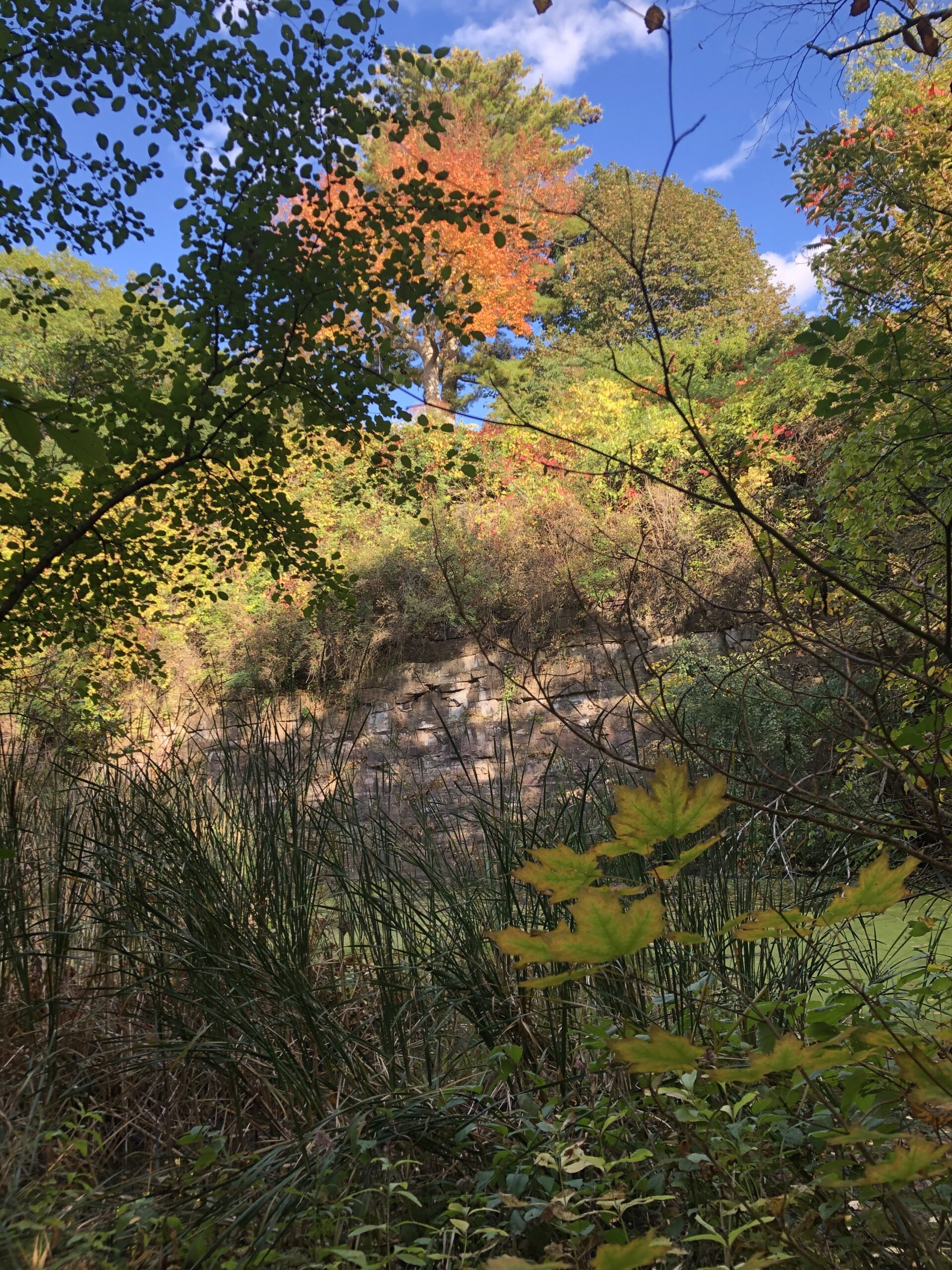
Here is a map of my area and a link to visit the map as well:
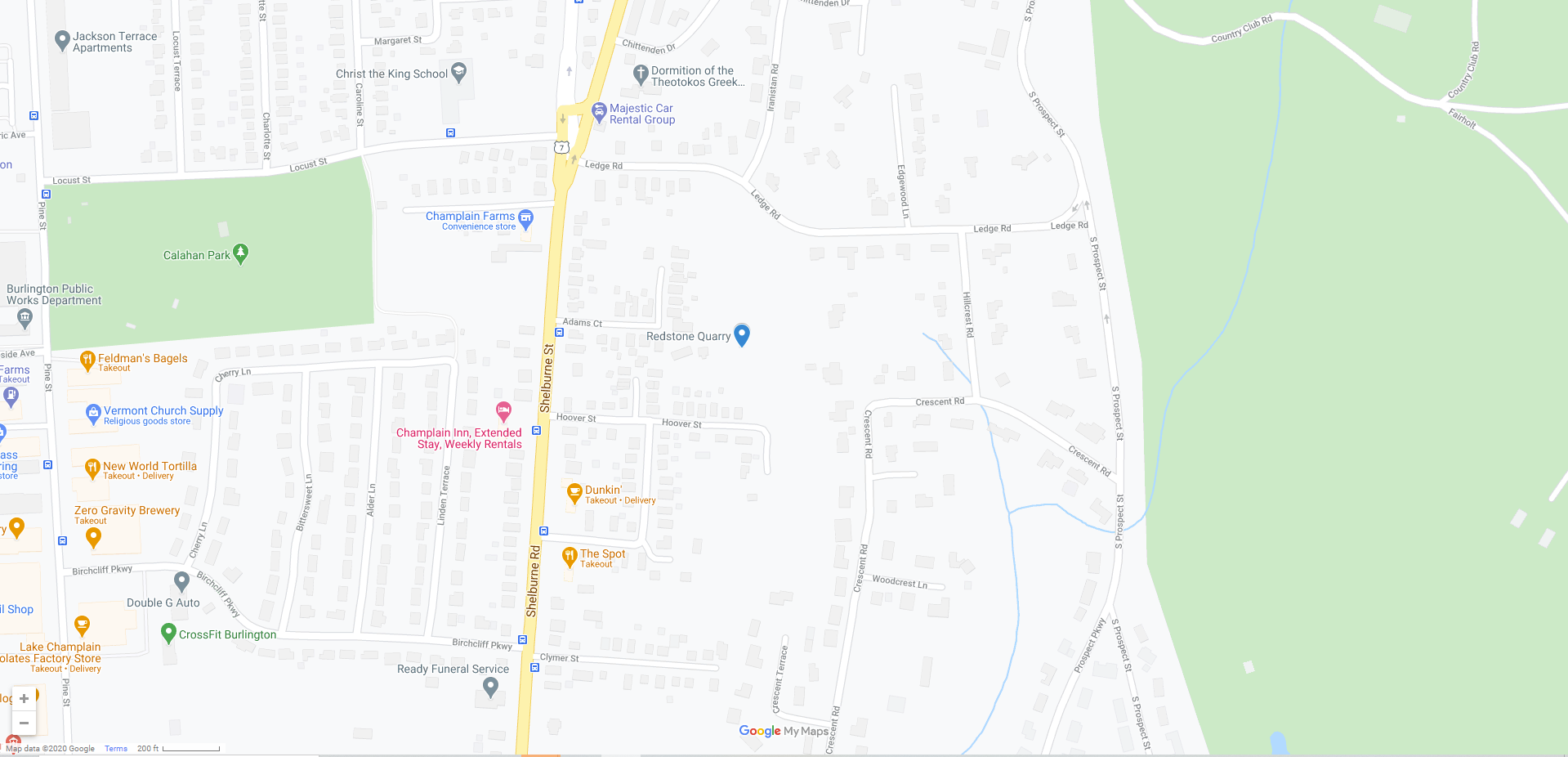
https://www.google.com/maps/d/u/1/embed?mid=1akUAuaMN9mgSNOy5htyl853eWqaiRcDV
Giffen, C. (2020b). Map of Burlington. In Google. https://www.google.com/maps/place/Redstone+Quarry/@44.4613431,-73.2076696,17z/data=!3m1!4b1!4m5!3m4!1s0x4cca7bb205be9c89:0x66f33cb18d956e30!8m2!3d44.4613431!4d-73.2054809
Giffen, C. (2020). Photograph of Foliage at Redstone Quarry.