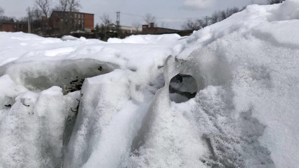
Upon coming to Salmon Hole this week, I did not immediately notice any major changes. Though there had been a lot of snow melt the last few weeks, the past few days it has gotten very cold again and has snowed every other day, which I think made my site look very similar to how it had a month ago, despite undergoing changes.
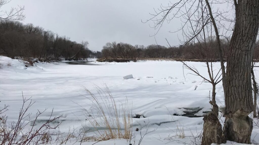
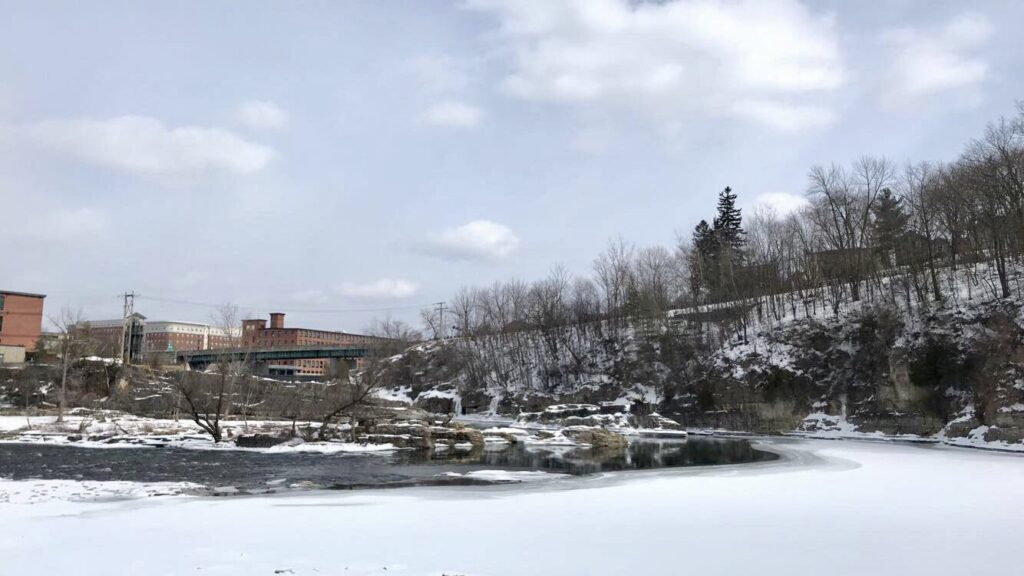
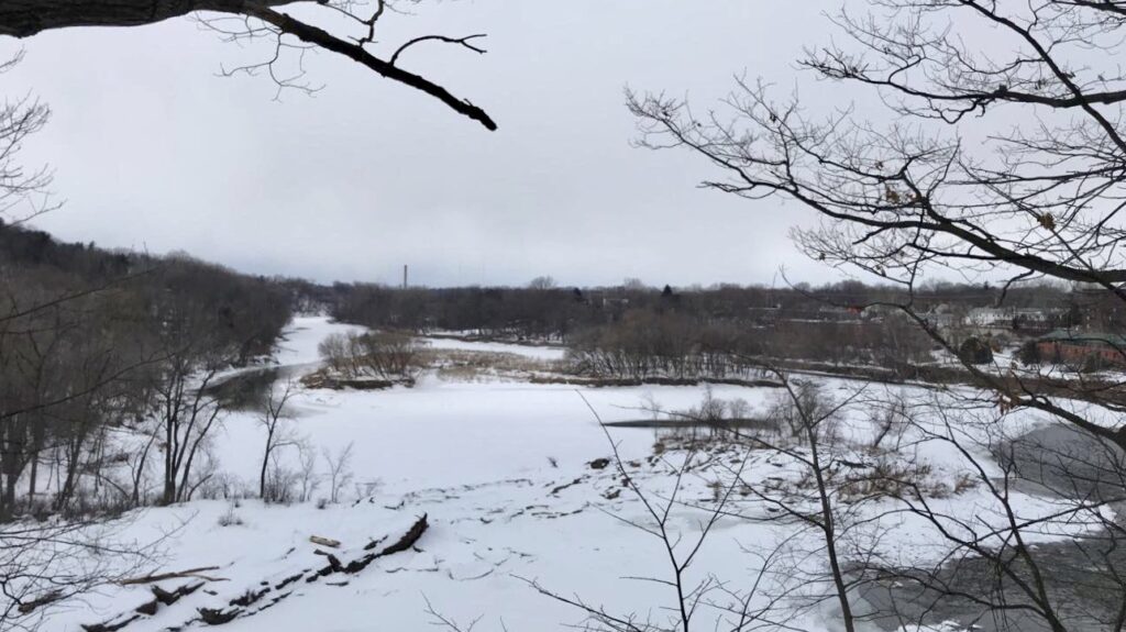
Whenever I come to my site, I like to stop at the Salmon Hole parking lot first so that I can get an aerial view of the river. Comparing today’s image with the one from my last post, they look very similar. Perhaps the ice is covering slightly more of the river than it was a month ago, and the large ice rifts are no longer so pronounced. I hope I will be able to see Salmon Hole with all of the snow melted before the school year ends, as I am curious as to how all the fluctuations in water have affected the riverbanks and rocky outcrops.
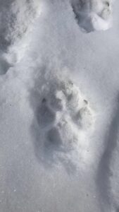
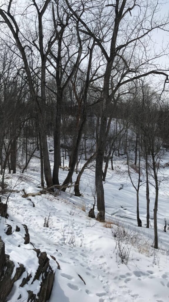
I then began to walk around, searching for tracks or signs of wildlife. Because of the recent snow, I struggled to find any tracks clear enough to follow, with the exception of dog tracks. Salmon Hole is a popular place for locals to bring their dogs, and it is interesting to see how even their tracks reflect things about the dog and owner. The dog tracks I saw today were very fresh and clear to see, they were of a larger dog, and the dog walked in a straight path with its owner. I feel relatively confident that it was a well-trained dog and not a wolf because of the spacing of the toes and the register of all four claws, whereas often coyotes’ only front two toe claws register.
Something interesting that I noticed as well was a tree surrounded by pieces of its own bark popped off, all the way up the tree. After doing some research, I found that it is common for trees to lose their bark when there are very sharp temperature swings, but I wonder why this was the only tree in the vicinity that it happened to. I believe this tree is an eastern cottonwood, and the other cottonwoods nearby did not seem to have experienced the same thing.
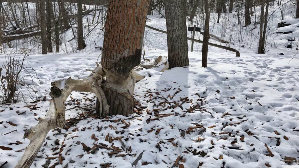
The bark spread around the tree. Another unaffected cottonwood can be seen in the background. 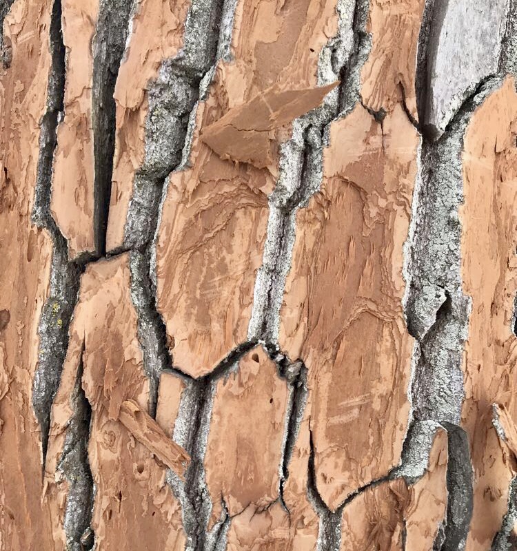
Close-up of the de-barked tree.
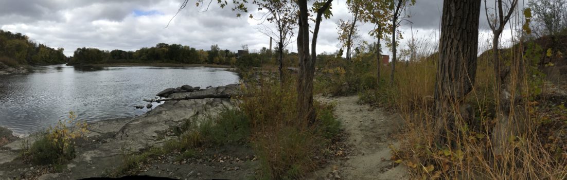
In terms of what kind of natural community Salmon Hole is and could be, there are a few options. As the Winooski River is the centerpiece of the site, providing freshwater as well as the lowest point in the immediate vicinity, the presence of the river is a main actor in determining natural community. Of the types of communities listed in Wetland, Woodland, Wildland, it may be a riverside outcrop or a erosional river bluff. It also has the potential to be a lakeside floodplain forest, defined by both the presence of a lake, adjacency to a river, and a deciduous forest, all of which describe Salmon Hole. I think that I personally would combine these three options, seeing it as a lakeside floodplain forest that has erosional bluffs and outcrops. There is much exposed rock in the vicinity of my site, but just fifty feet away much of the shoreline becomes raised erosional bluff, caused by the runoff issues in the Champlain Basin and the fluctuation of water volume in the Winooski. If there was less development in the area, I think the forest aspect of this natural community would become clearer, filling with more deciduous hardwoods and potentially some conifers. There is also boggy land across from my site on a small triangle of land in the middle of the river, but since I cannot travel to it, there is not much more I can determine about that.