Photo taken on Friday, October 7th at https://www.google.com/maps/place/44°28’39.3%22N+73°11’12.2%22W/@44.4775888,-73.1889077,17z/data=!3m1!4b1!4m5!3m4!1s0x0:0x2306b1de2c9f3987!8m2!3d44.4775888!4d-73.186719?hl=en-US
How to get there:
- Enter Centennial woods via the entrance coming from Jeffords Hall
- Follow the trails that lead to the clearing that was the 5th point from the Centennial woods lab
- Take the trail down and to the left that crosses a small brooke
- Turn right and follow the small trail that leads to 4 wooden bridges
- You have arrived 🙂
Why I chose this location:
- Relatively different from the areas of Centennial woods I have seen
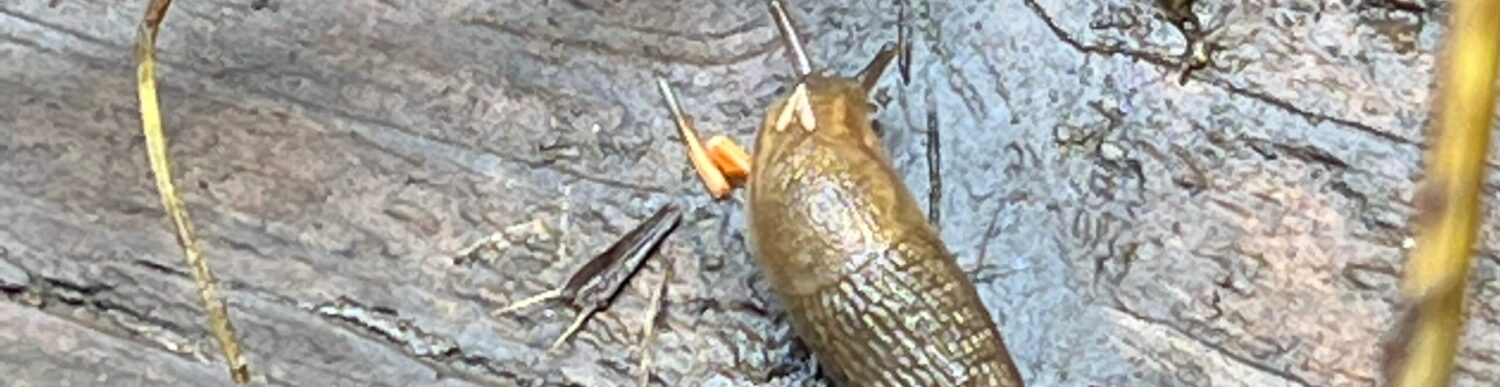
- Water changes in a much different way than soil, which makes it interesting to study phenologically
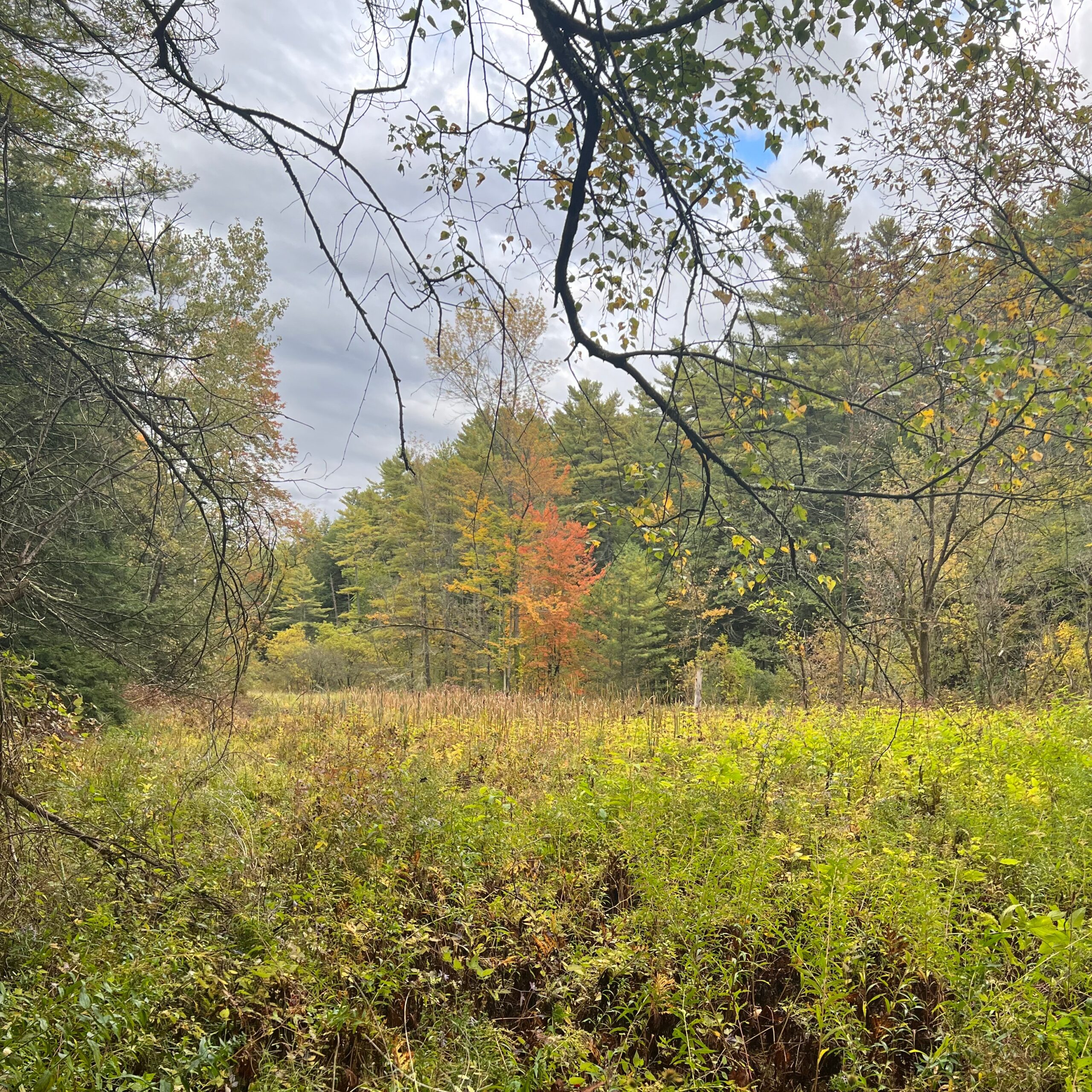
Description of location
- Still water with shorter non-woody plants
- Some trees changing leaf colors
- Somewhat overcast skies