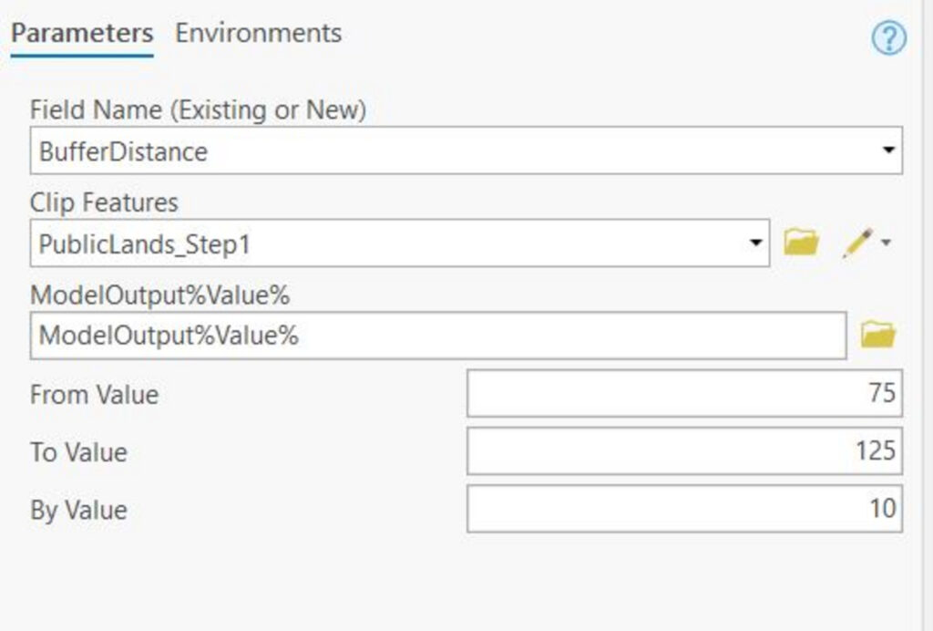
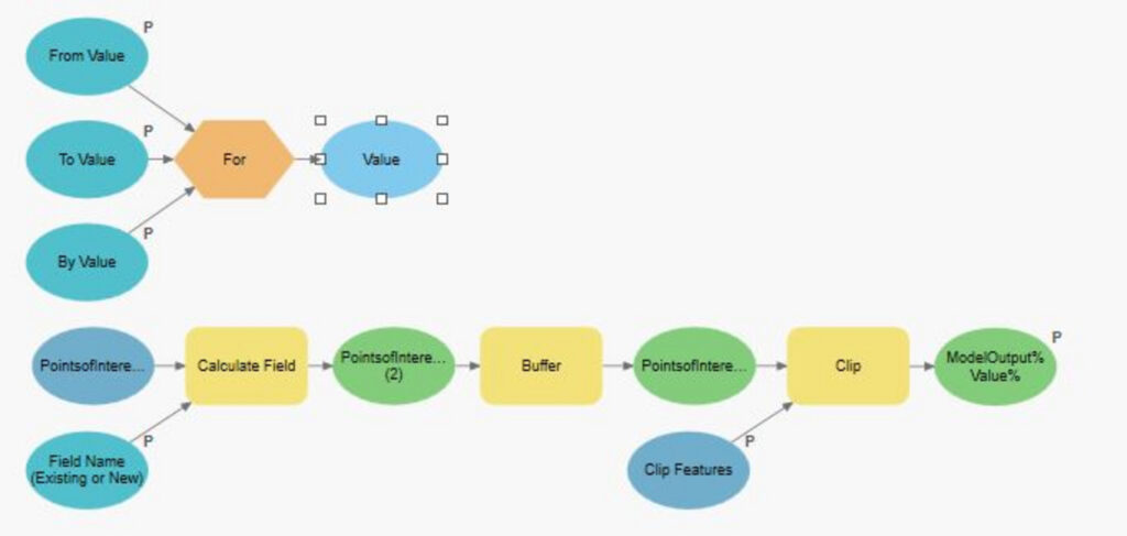
Q: When I run Part1 Step 35 (the last model) with the updated From/To/By values, I only get one output. Did this happen to anyone? I’m trying to retrace my steps here to see what I could have done wrong earlier, but my model setup matches the lab’s picture from what I can tell. Thoughts?
A: Can you confirm your Calculate Field expression includes the Expression – !BufferFactor! * %Multiplier%? Sometimes when you run an iterative model only one of the outputs will be added to the display. Did you check the geodatabase (be sure to right-click > Refresh) to see if there are more outputs from the model?
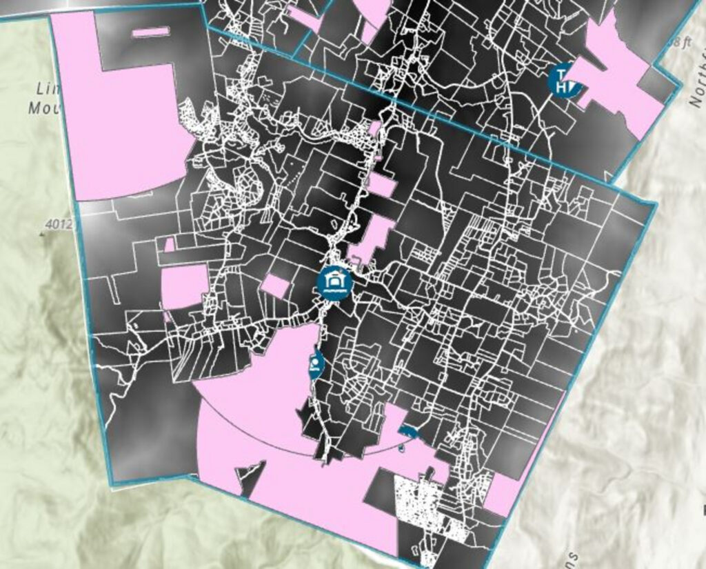
Q: Page 10, Part 2, #6 –> Just a quick question about generating the optional Above Ground Level Raster in the Viewshed tool. I understand what it is but I am not clear about how to set the tool to produce one. I see the empty parameter. Do you just add an output raster name of your choice to prompt the tool to produce the AGL raster? Or do you have to put something specific in the parameter box? I tried putting an output raster name in the parameter box (Viewshed_step1_AGL) and a raster was produced in the map pane with that name and a range of values (no attribute table). I am guessing I did something wrong. How exactly do you specify you want the viewshed tool to create the AGL raster?
A: Yes, it is as simple as specifying the name in the parameter. The output raster that is produced does not have an attribute table because the dataset is a continuous raster (with too many values to display in a table). Remember that integer rasters include an attribute table, but integers with real / continuous values do not. Check the DEM (no attribute table) and the viewshed frequency output (includes attribute table). Either way there is an attribute table operating behind the scenes, you just can’t access that info the same way.


