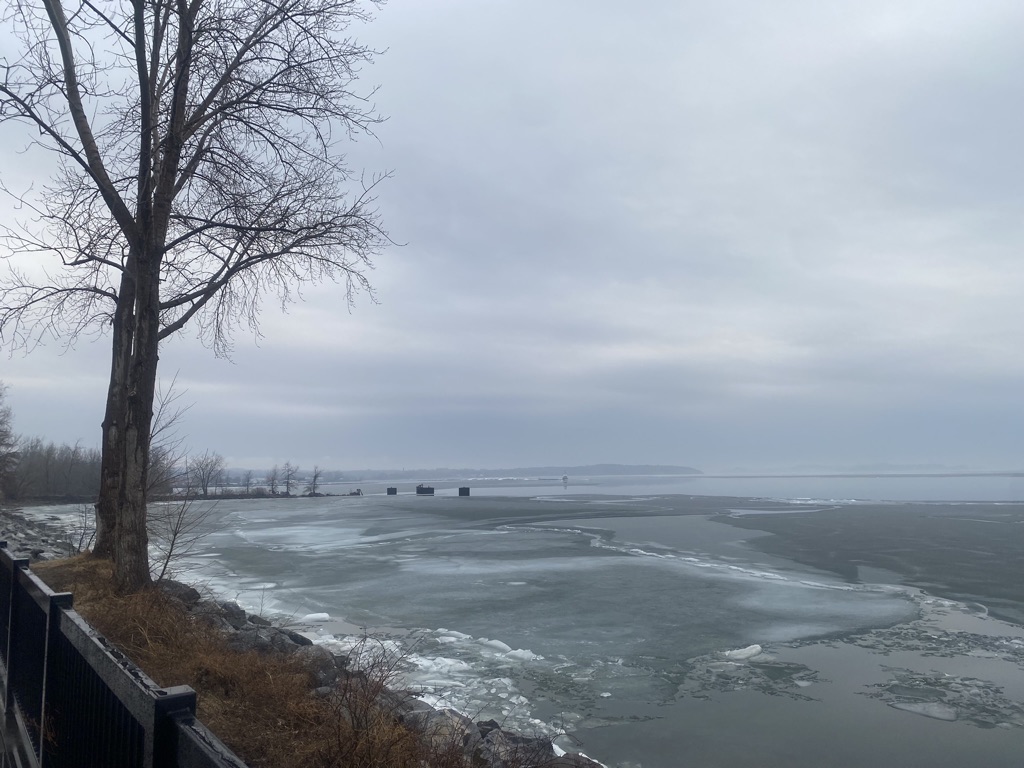
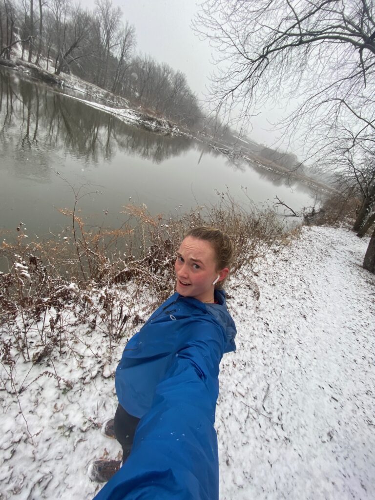
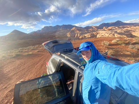
Over spring break, I was backpacking with my dog, Moose, in southern Utah. We spent five days exploring Ticaboo canyon and its surrounding area, which is just northwest of Lake Powell.
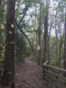
To get to the trailhead, I drove south from Salt Lake City, moving from mountainous terrain into the land of expansive, dusty agriculture. Once I reached Hanksville, the last place with service before I dropped off the grid, pillars and mysterious mounds, and sweeping landmarks of sandstone became my out-the-window companions. I left UT – 276 for an unnamed road that twisted through BLM land. BLM land is owned by the government and is 10.5% of the U.S. land total or 248 million acres. This land is the land of the Núu-agha-tʉvʉ-pʉ̱ (Ute) tribe, and before the U.S government forced them out, they lived here. Now the land is leased to farmers for grazing their cattle. It is a weird, and privileged experience for me to be able to have done this backpacking trip on land that was stolen from people who aren’t welcome there now. To get into the canyons I explored, I took the path originally built for cattle, and I used maps created by surveyors from the U.S. government. I am constantly thinking about how to exist on stolen native land, and I am grateful for this trip, and am also indebted to the land and the people whose land it truly is.
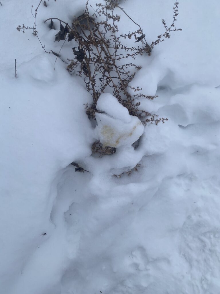
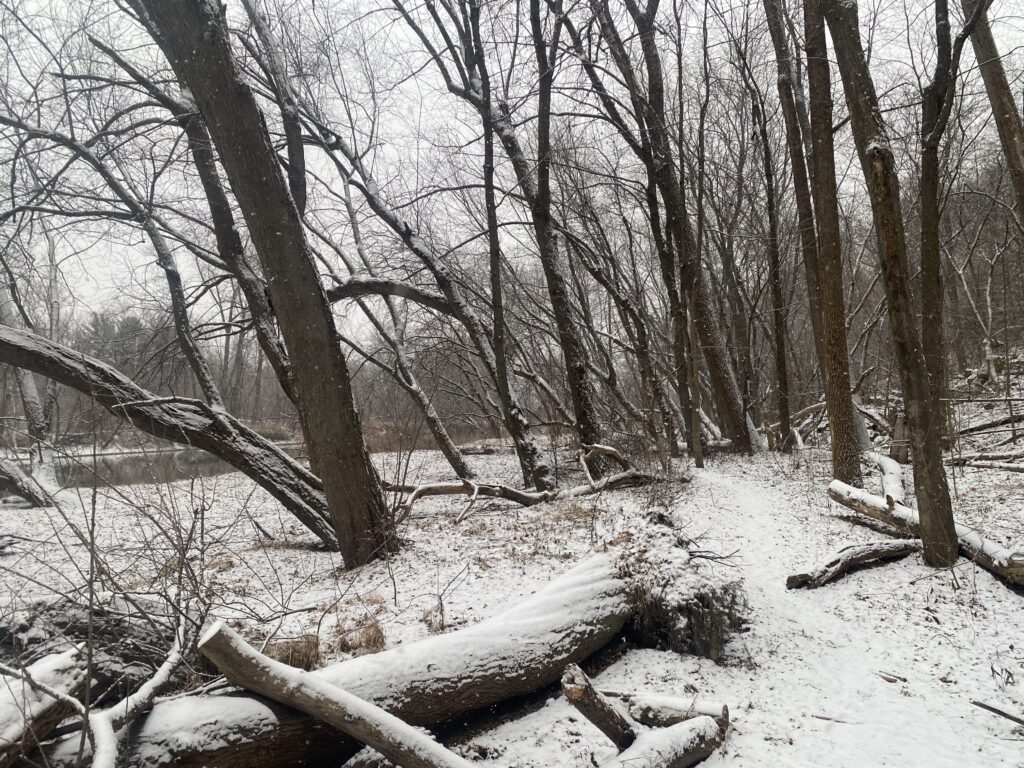
The land above the canyon is scrubby, and filled with plants such as Mormon Tea (ephedra viridis), desert sage (salvia dorrii), and broom snakeweed (gutierrezia sarothrae). These plants are incredibly hardy, and able to withstand the dry, windy weather of their environment. And with the sheer number of plants, they seem very unaffected by the minimal cow grazing that I saw while I was there.
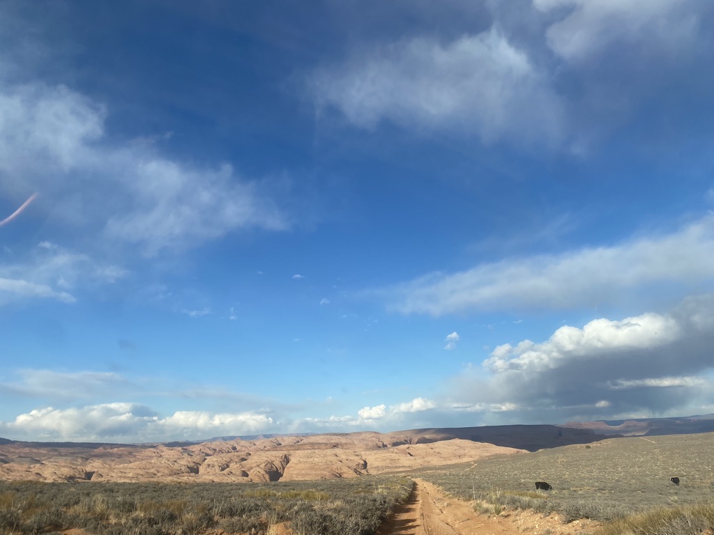
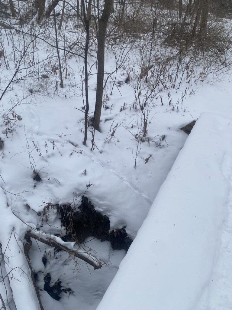
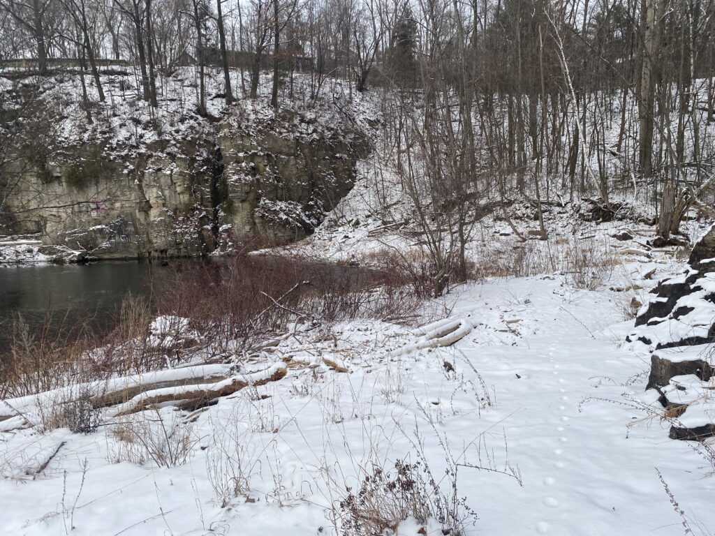
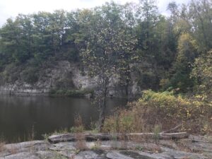
The canyons I was walking in were mainly riverbed, with unique white, volcanic rock in them from the nearby dormant volcano. The rounded volcanic rock contrasts with the bright orange sandstone, from ancient sand dunes that towered above me as I walked deeper into the canyon.
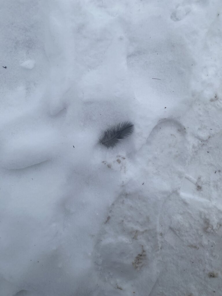
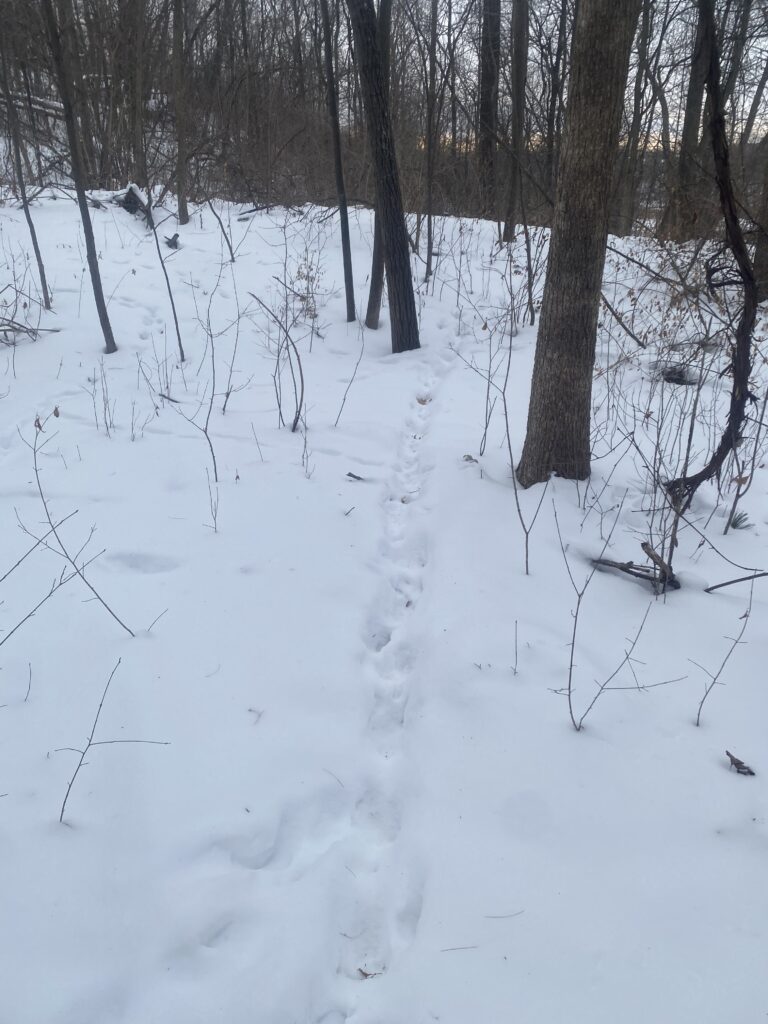
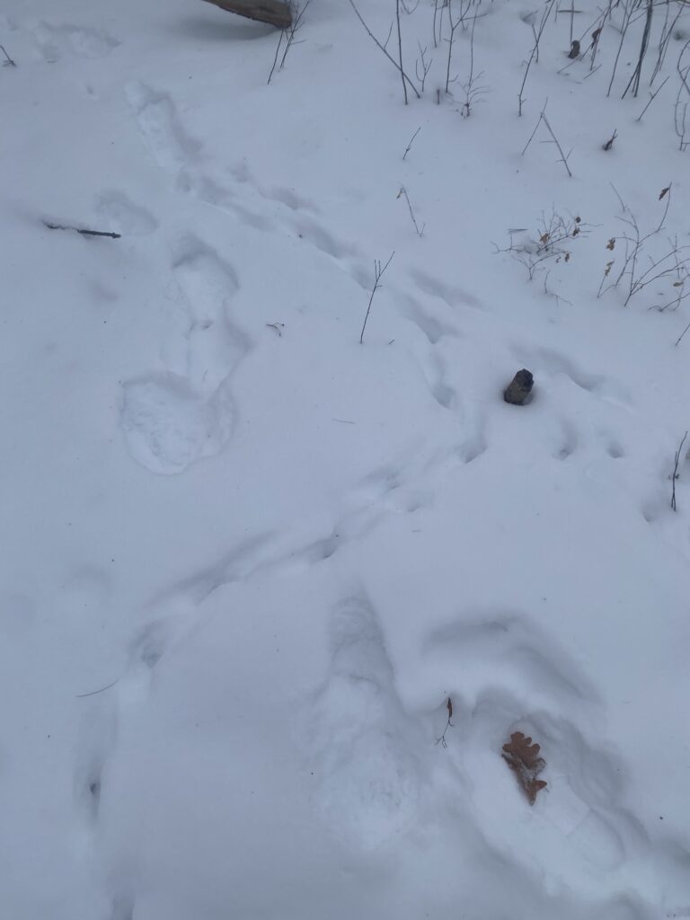
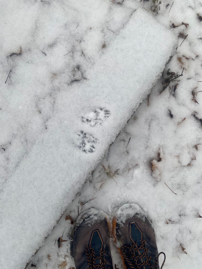
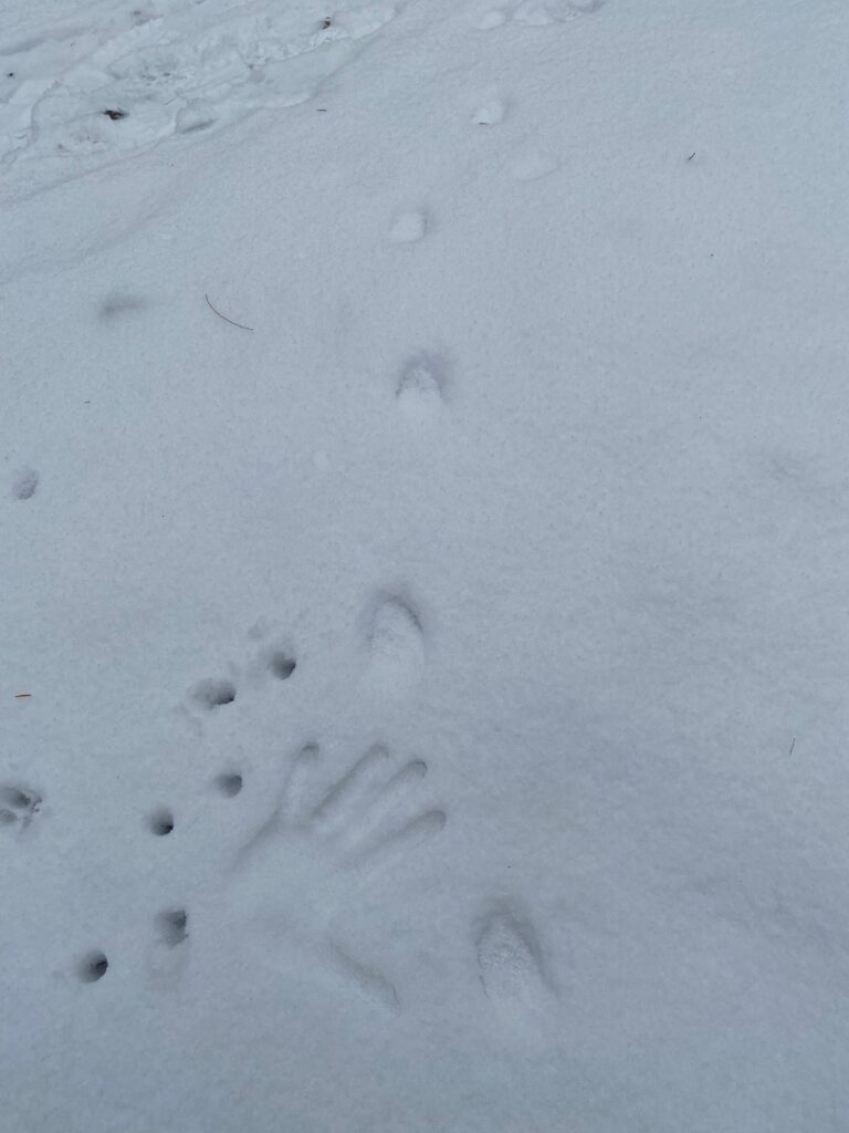
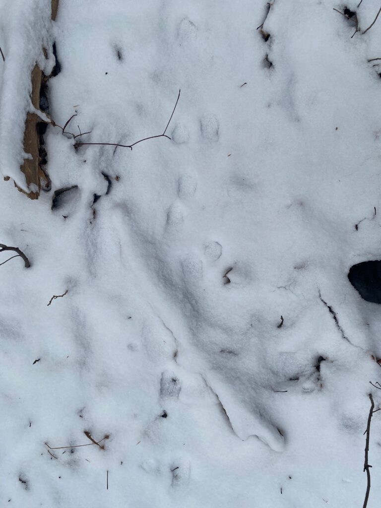
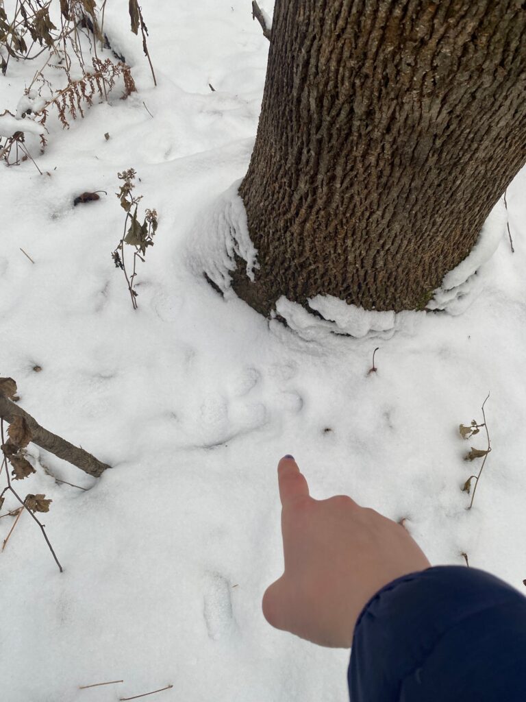
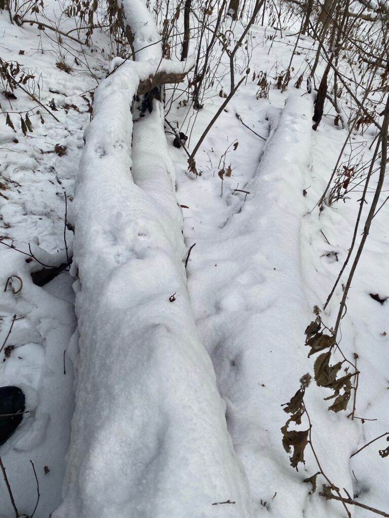
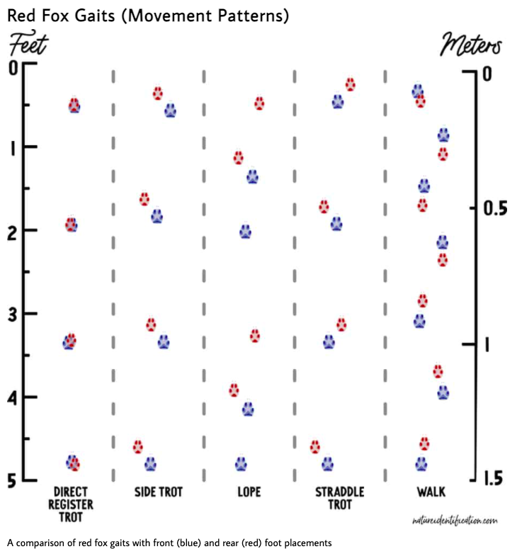
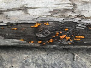
The birds were pretty scarce in sightings. I saw a few ravens every day, flying overhead, and once I saw a pair of bald eagles circling in the distance. I saw no turkey vultures, which I took to mean there wasn’t much in the way of carcasses lying around. This made sense, given the lack of cougar tracks I saw. I noticed tracks in the ascending order of the food chain. I saw the most small beetle and rodent tracks, I saw fewer bobcat and coyote tracks, and I saw zero cougar tracks.
The bird encounters I loved the most were the canyon wrens I never saw but heard quite often in the echoey canyons.
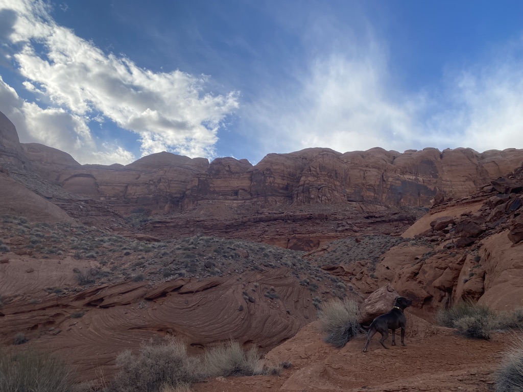
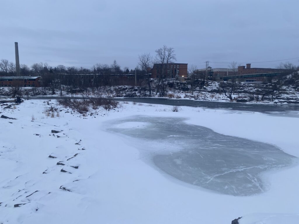
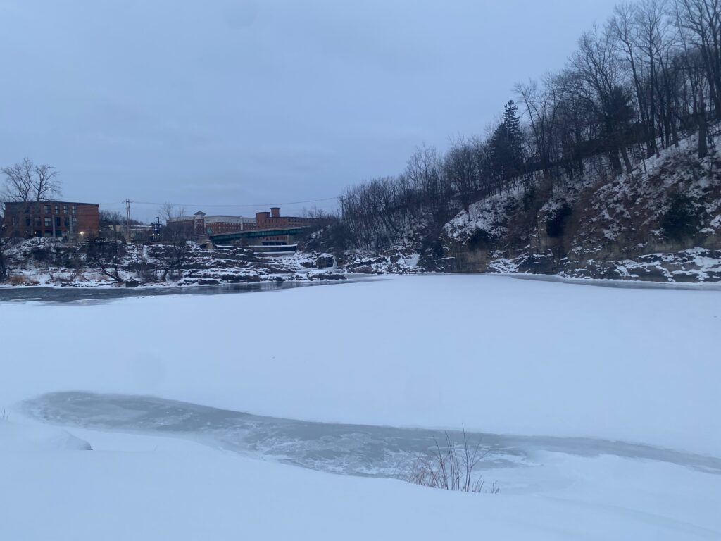
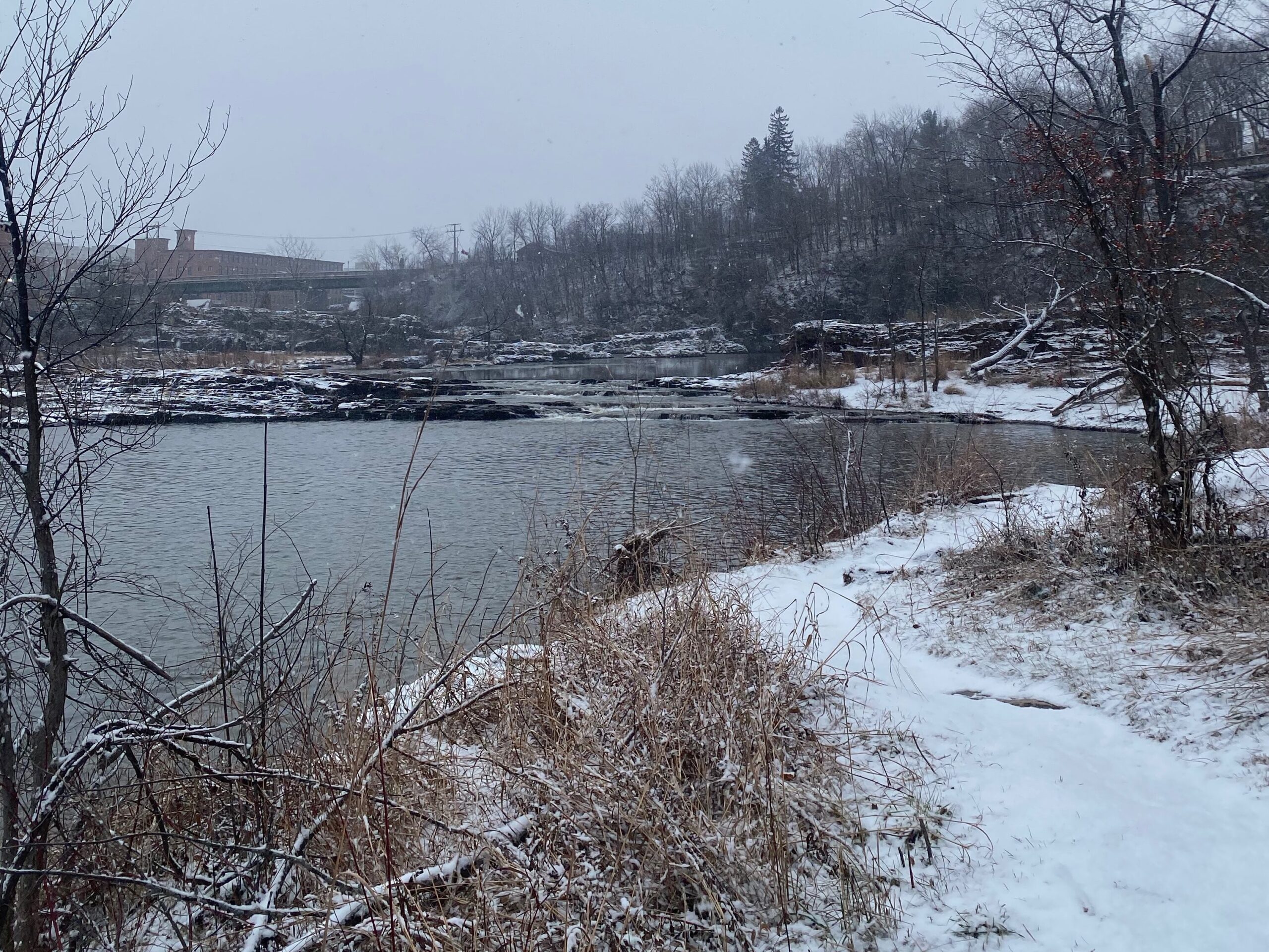
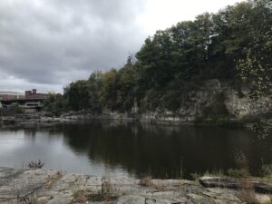
My spring break phenology site is quite different than my Vermont phenology site in terms of geology, plants, and wildlife. But I did find some similarities. They both surround a source of water, Winooski’s Salmon Hole, and Ticaboo’s TIcaboo Creek, as well as farther down the canyon, Lake Powell. At both sights, I saw the tracks of many a cool creature, but never the creature itself.
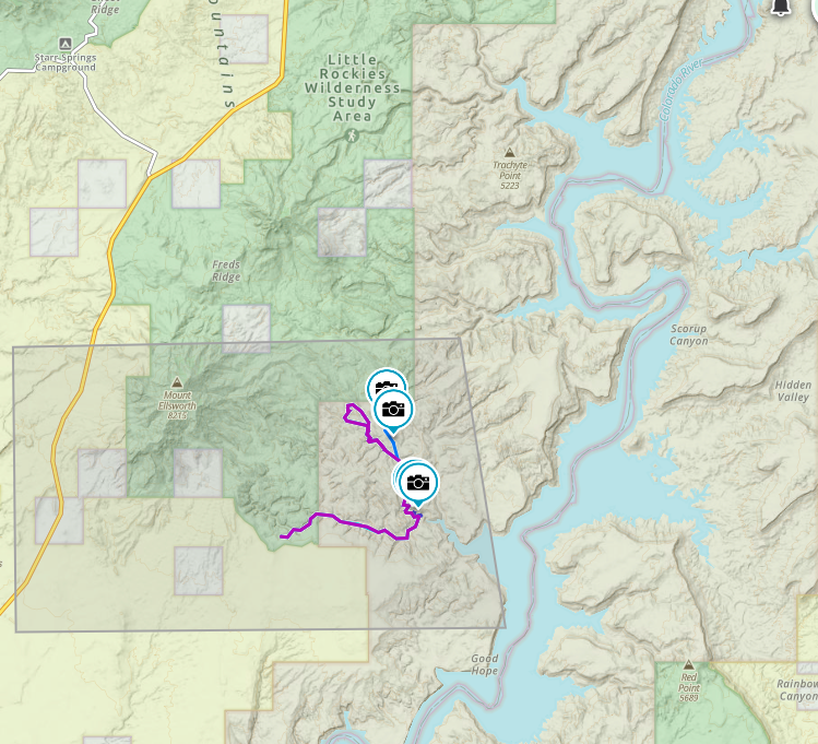

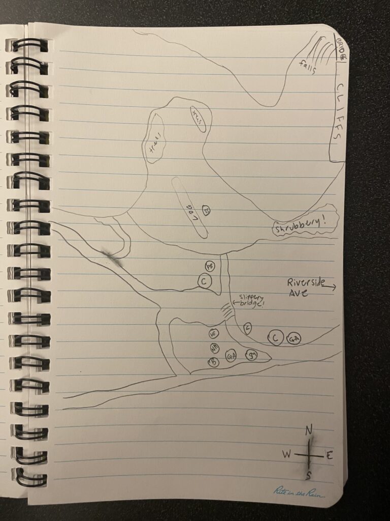
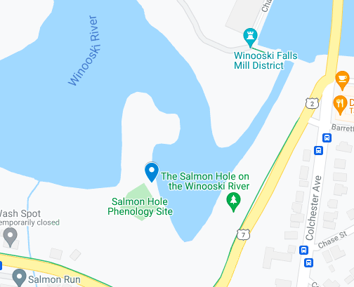
Maps of where I was! The tops of each map is North.