06/25/2022: Brewster Gardens, Plymouth, Mass: Entry 1
Saturday, June 25th, 2022 5:46 PM. Blue sky with no clouds, slight breeze, 80°F.
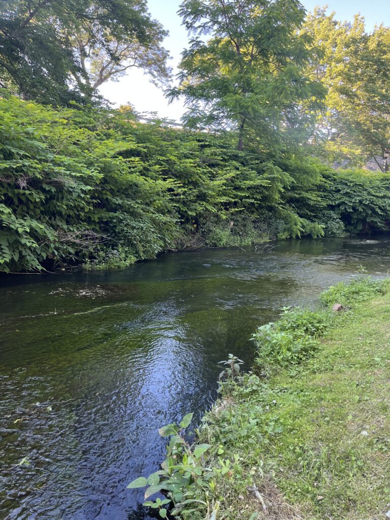
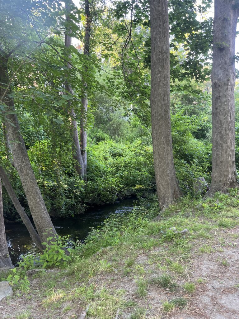
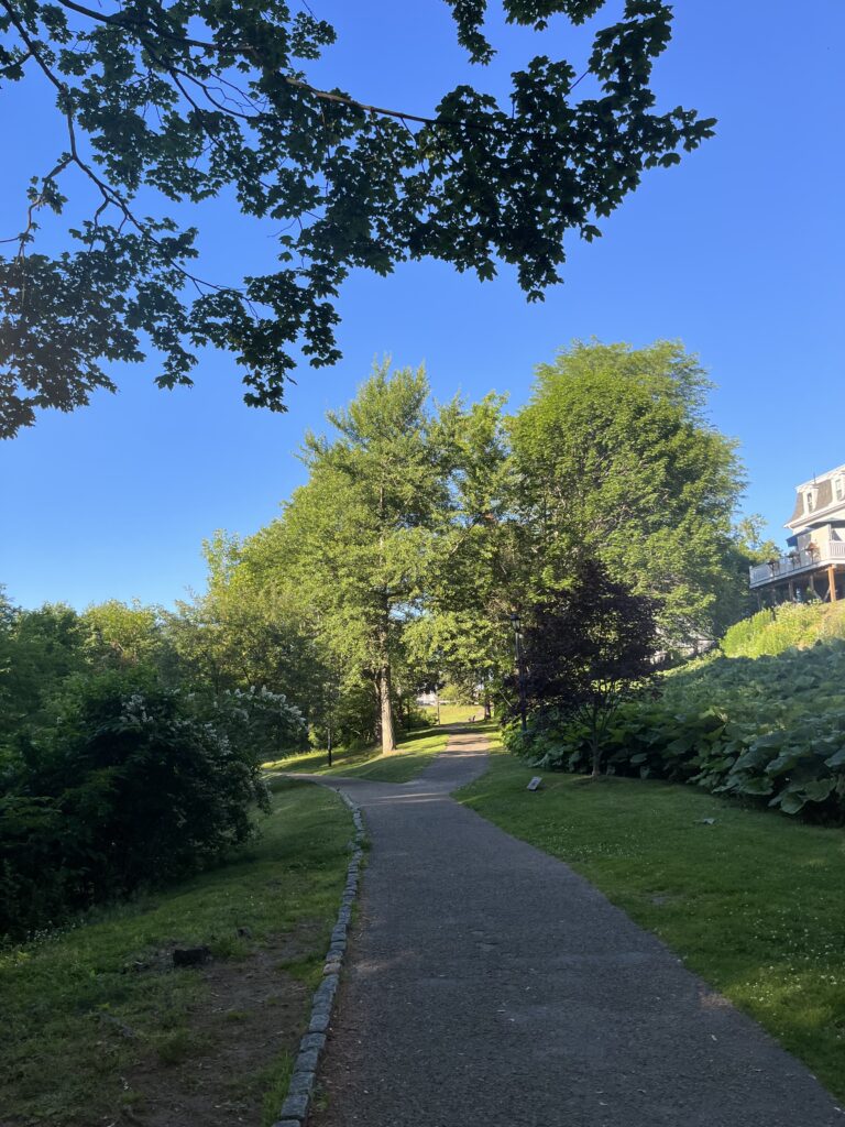
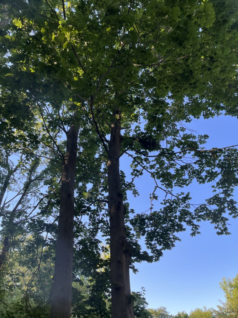
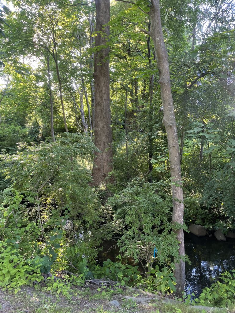
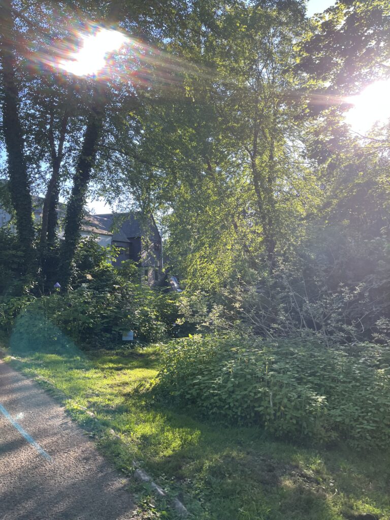
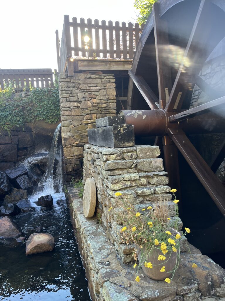
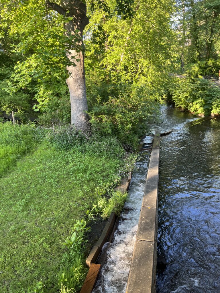
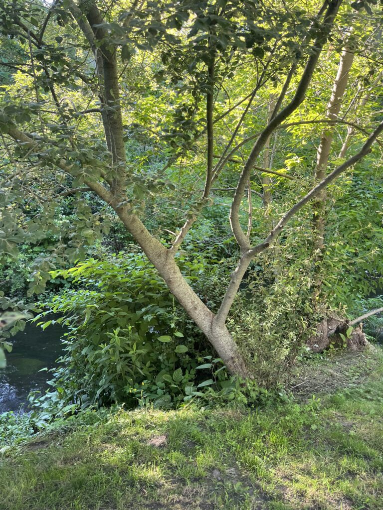
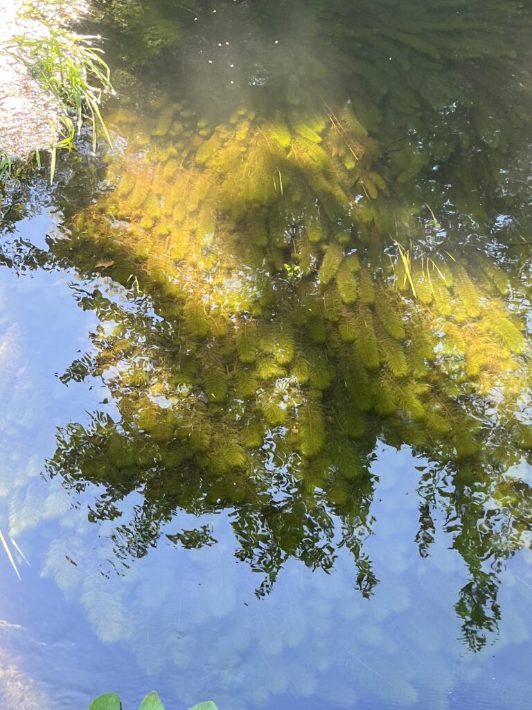
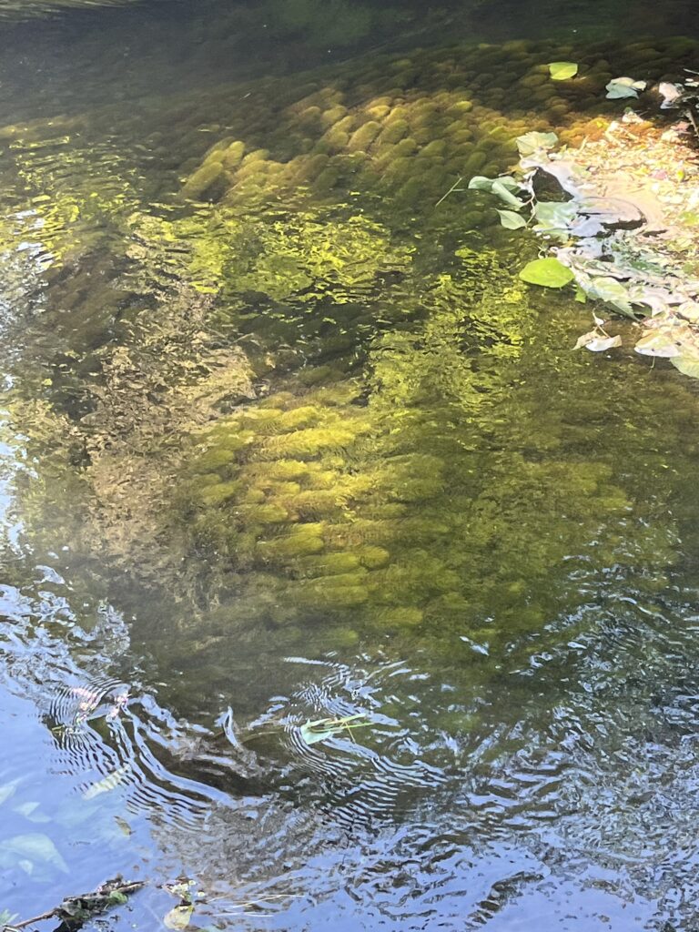
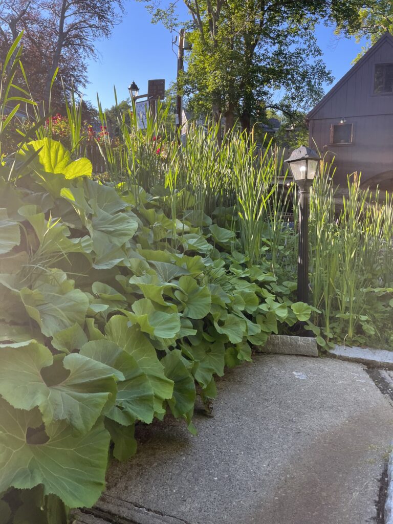
The park, Brewster Gardens, is lush and green. I stand on a paved path that has a stream on one side, and grass and trees on the other. At one end of the stream, named Town Brook, there is a grist mill. This seems to be a place that might experience a lot of edge effects, because the park is near the town center. There is cut grass and some overgrown areas where nature has taken over what was curated by humans. The area is mostly shaded by the trees but there are gaps in the canopy that let sunshine down to the ground. There is a wide variety of age and species of trees. I hear traffic, flowing water, and many different bird songs. It smells damp and earthy like the kind of water that have little visibility and are slow moving. It also smells a bit like food and grease, which makes sense because there are restaurants nearby. I see bugs flying in the air, especially surrounding the water. There are a couple moths and butterflies. There are smaller bird species flying above and walking on the ground. Some of the species in the sky may even be bats. I see a bird eating berries off of a tree. There are grey squirrels running around on the ground and in the trees. A couple fish (about 4 inches in size) swim around in the stream. The whole length of the stream has a lush growth of aquatic grass.


- There is a sign that says the grist mill was built in 1636. How much of the park has been curated by humans? How have the type and variety of species changed over time from disturbance?
- What is the water source for this brook?
- How does the pumping of the grist mill affect what lives in the river?
- Where does the brook empty into?
- Is this a good habitat for nesting birds?
- What silvicultural methods, if any, are being carried out on this plot of land?
- This park is surrounded by busy streets and stores. How do the edge effects play into which kind of species can thrive in this ecosystem?
- How do the sounds of traffic affect the species that live in the park?
- There are small streetlamps along the path. Are prey more susceptible to being caught by their predators with this extra visibility at night?
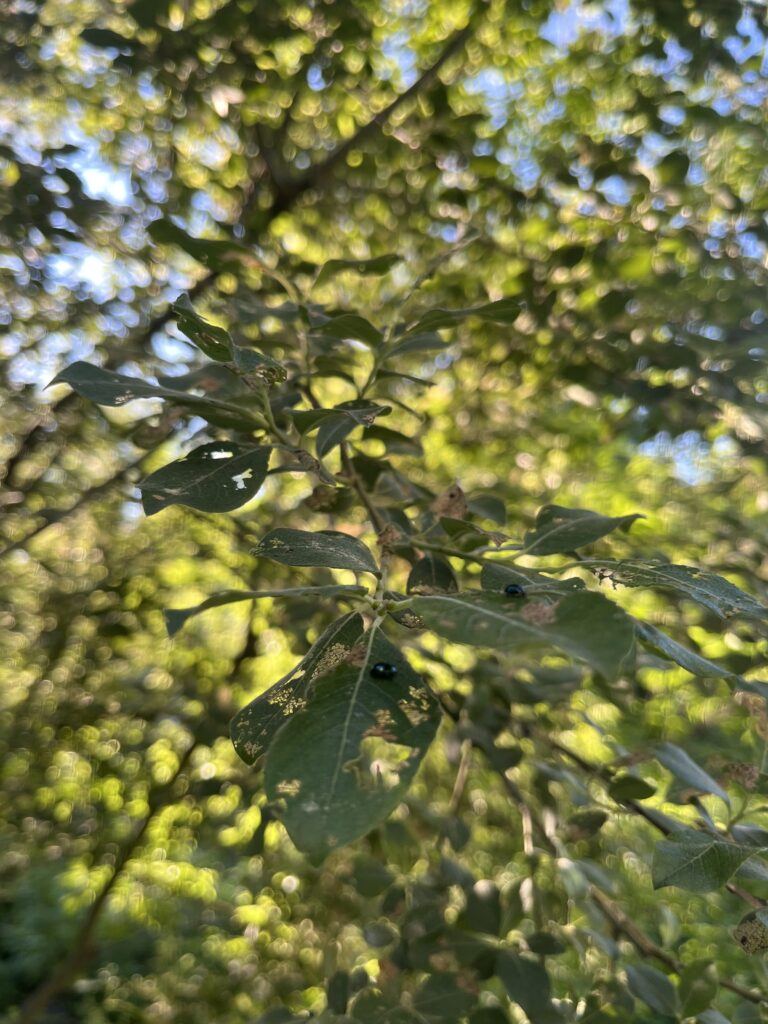
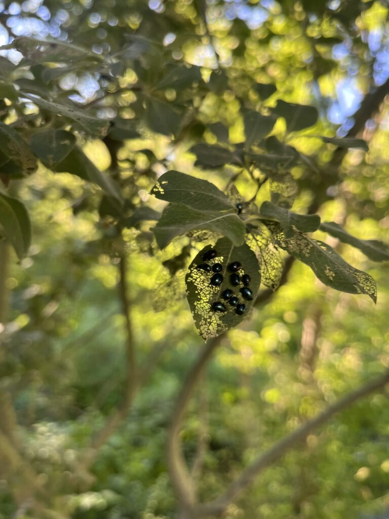
- There is a tree beside the brook with decaying leaves. There are small, shiny bugs on the leaves. Are these bugs native to this area?
- If the bug is an invasive species, is it affecting other plants/trees? Or is it particularly harmful to this species of tree?
- If the bugs are invasive, how did they get to be in this area?
- Why are the leaves browning on this tree?
- Is this browning natural or are the bugs to blame?
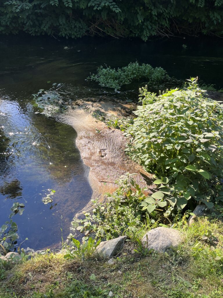
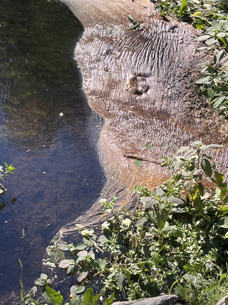
- There is a pipe that drains into the brook. What is being deposited into the water?
- How do these deposits effect the aquatic ecosystem?
- Do the groundskeepers use chemicals to curate the grass? If so, how is this affecting the water?
- Have the species in the river adapted to live in water that might be especially susceptible to physical and chemical changes by runoff?
- Some species of aquatic plants are an indication of healthy/unhealthy pH. What do the aquatic plants in the brook indicate?
- How healthy is the water?
- What kinds of things live in the grass in the brook?
- What types of rock are in the river?
- How did the rocks end up in the river?
- How does the brown stuff collect on top of the water? What is it?
- Was this river an area of importance to the indigenous people, the Wampanoags, that used to live here?
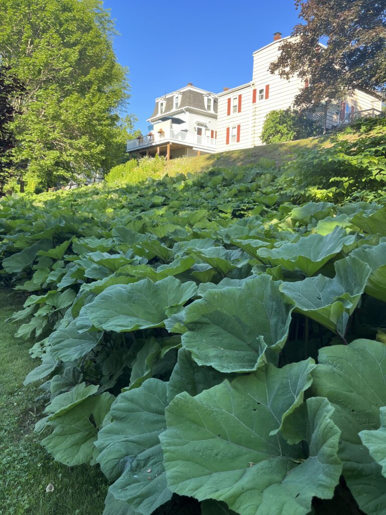
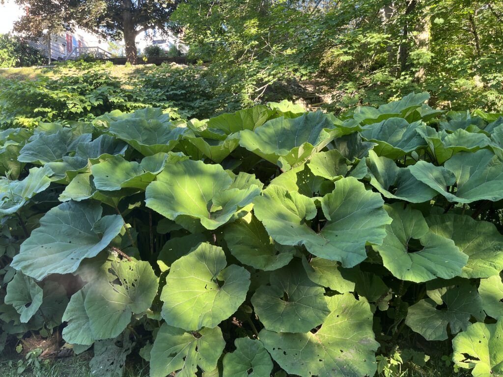
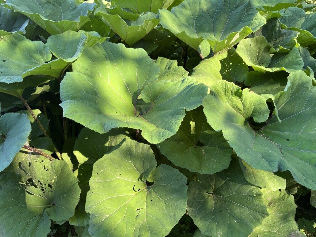
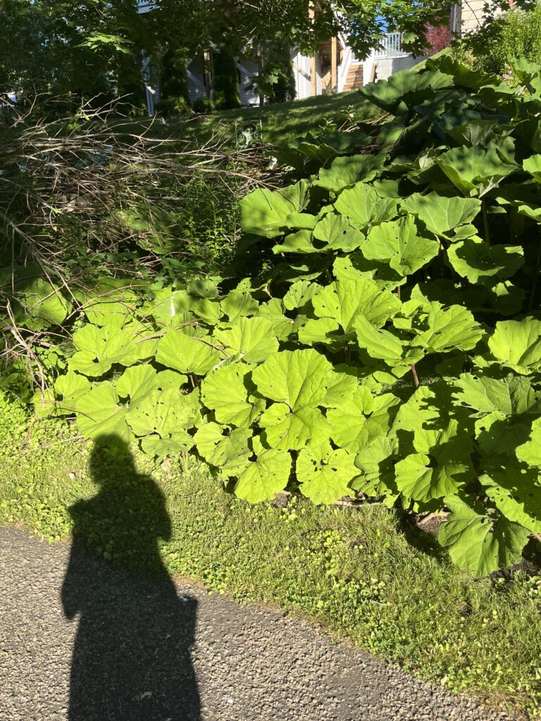
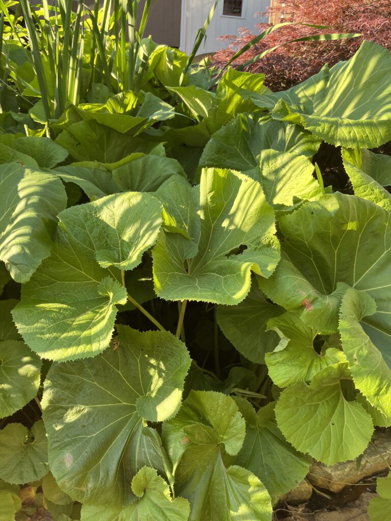
- Why does this particular species of plant abruptly start and end?
- I see bamboo in the yard of a nearby house. Bamboo is pretty invasive and will take over an area pretty easily. How has the bamboo not spread yet?
Reference pictures from questions:
Questions 1, 2, 4, 24 Answer:
Town Brook runs 1.5 miles from the Atlantic Ocean to Billington Sea (a pond). For thousands of years, Town Brook was essential to the Wampanoag tribe’s livelihood. Its freshwater is the spawning ground of river herring, which were eaten, preserved, used as fertilizer, and signaled the start of the planting season. The path alongside the brook was a part of the Namassakeeset Trail, which was a path used by the Native Americans that ran the length of the river starting at Billington Sea. This source of freshwater and the thatch materials that grew on the riverbanks were two of the main reasons the pilgrims chose Plymouth as their place of settlement. When the pilgrims arrived, the river became an essential source of water and herring for fertilizer and food. Brewster Gardens is on the same plot of land that was colonist Elder William Brewster’s garden plot in 1620. Jenney Grist Mill was built in 1636 and today a replica continues to pump water. In the 1760s, dams were built to harness the power of the river for nail, textile, and anchor production. The use of the mills and dams decreased when more efficient technology was utilized during the Civil War. The colonists began to make passageways for the fish to pass through the dams when they noticed the decreasing populations.
In 1921-1923, the area had become Barne’s Mill Pond, which was overgrown and swamp-like. The park was established to celebrate the 300-year anniversary of Plymouth. The use of the grist mill ended in 2002 and by 2019, all of the dams were removed to restore the herrings’ passage from the ocean to Billington Sea. The Town of Plymouth continues to work with NOAA to restore the watershed to its historic herring run levels. It is said that during colonial times, in one tide 12,000 herring swam upstream. In 2018, an estimated 185,000 herring ran up the river, a great improvement from 40,000 yearly in the 1900s.
Brewster Gardens is a peaceful, natural oasis in the center of town. As I was walking around, I couldn’t help but feel like the area was pretty manicured. Despite this, there is a decent variety of species and habitat, from the river to the surrounding trees and plants. I’d like to catalogue the tree and plant species on iNaturalist. Specifically, I’d like to identify and learn more about the aquatic plants. They were so lush and beautiful, and I’d like to know if they indicate anything about the water quality. I’d also like to identify what kind of plant (pictured in question 26) was living on the riverbank, and if anything lives underneath its big leaves. After learning the area’s history, I can’t help but think about the loss of this important area for the Wampanoags. What once was an area of Native American livelihood is now a park for tourists. I’d like to look more into this cultural connection, and if the current day Wampanoags are granted any rights to Town Brook.
Bruton, J. M. (2020, June 13). Brewster Gardens Historical Marker. Historical Marker. Retrieved June 26, 2022, from https://www.hmdb.org/m.asp?m=151301