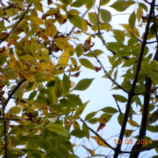
It has been quite the fall. There has been snow, 75 degree weather, and plenty of rain all within the span of a few weeks. As I sit in my place in the trails of Rock Point, it is around 40 degrees and a bit cloudy. Most of the leaves have fallen from the woody plants surrounding this area, and any remaining flowers have mostly died off. It is turning much more brown as the ecosystem prepares for winter. There are no people walking by, compared to the one or two I have passed while out here in the past. I am curious to see how the snow settles in here, how it coats the ground and blurs the line between trail and forest.
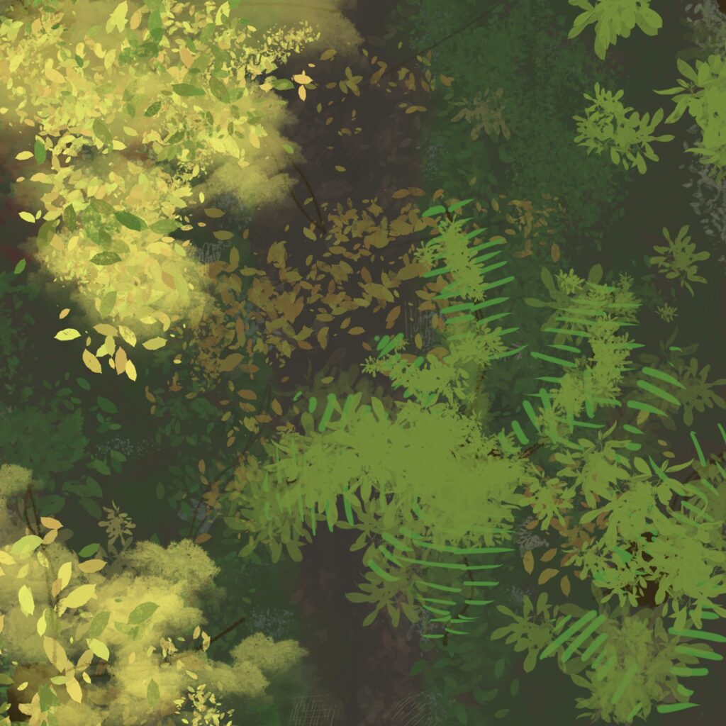
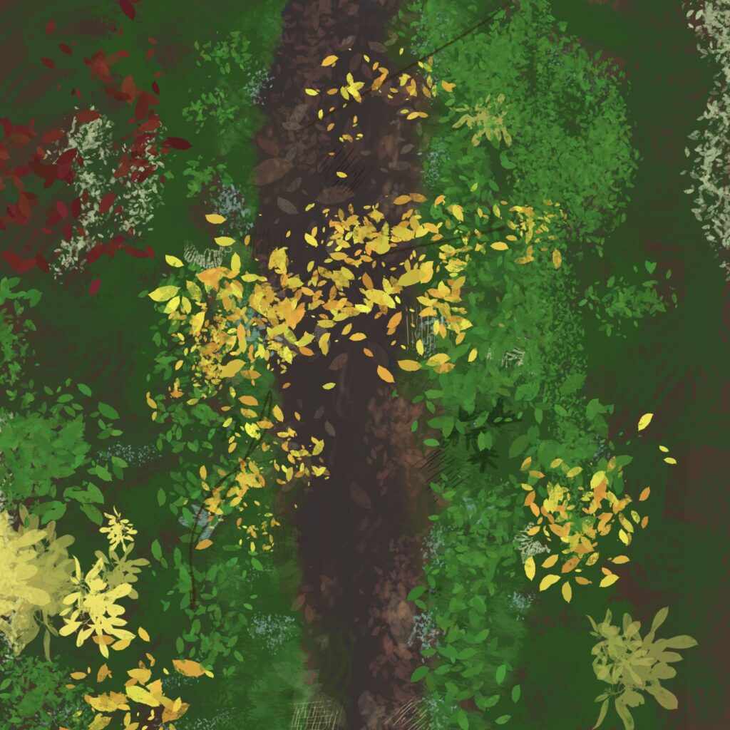
Instead of a simple birds-eye view look at the land, I chose to look a little deeper (literally). I chose to depict the layers of the landscape and foliage.
Within the Canopy, the dominant species are mature trees such as Ashes and a few Maples. There is also an occurrence of grape leaves which shadow the lower levels as they climb the trees and brush.
The undercarriage consists of shorter, less mature saplings like Black Cherry and Sumac, as well as taller shrubs like Bittersweets and Brambles.
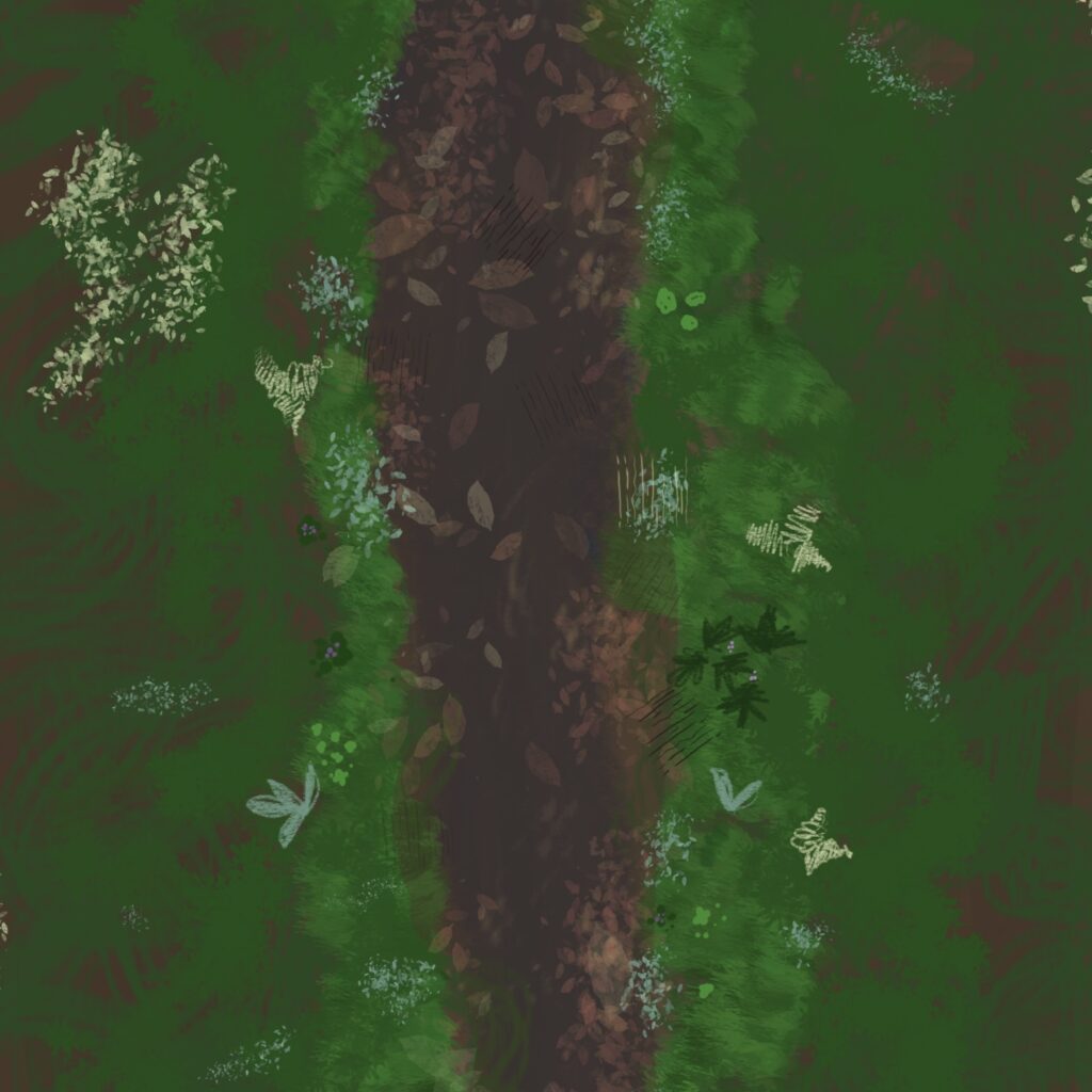
The Ground cover is made up of predominantly weedy, herbaceous species, with not much appearance of grass due to the shape of the landscape. There are Lady Ferns, Asters and Wood Sorrels among many other ground-hugging plants. There is also some coarse woody debris in the form of twigs and other organic matter like fallen leaves.
At Rock point, the reverse thrust fault consists of two bedrock types: Iberville Shale and Dunham Dolostone. The Dolostone is an older rock, however it appears on top of the Shale in this region.