
This time finding my spot was harder because the trees that I usually mentally remember to look for when finding which path to take, but the leaves had all fallen off. Once I finally reached the 2nd clearing it was easier to identify where I was.
The vegetation on the forest floor was still mostly ferns and Some of the ferns now lay flat on the ground because they must have been stepped on, since the leaves act as a sort of camouflage. I noticed that a lot of the ground plants had bites in it, which indicates organisms like a worm. I also noticed a lot of fallen large, narrow cones on the ground, which likely came from a Norway spruce, which usually has longer cones. The trees have transitioned from being full to empty, with trees dropping their cones, pines and leaves on the forest floor.
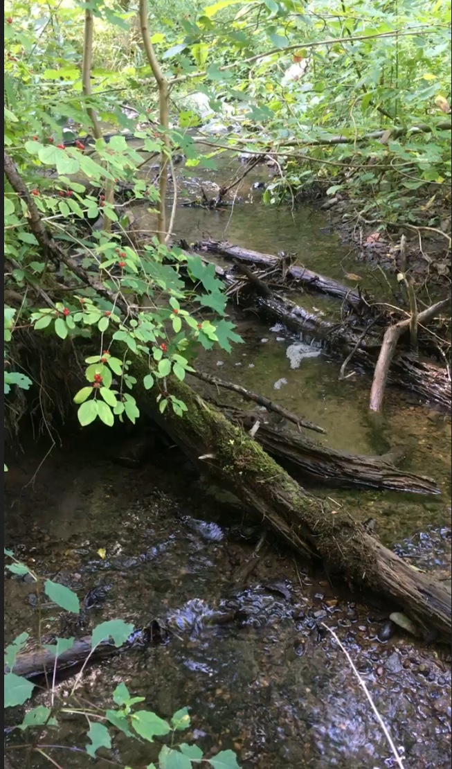
The most predominant organism in my area are maple trees. I observed striped, norway and red maple trees. Their leaves cover about 90% of the forest floor and have even been deposited into the brook. The closer you get to the brook the smaller the trees become, and surrounding the actual border were woody shrubs like the Partridgeberry woody shrub was a distinct plant with its bright red and oval shaped berries. These fruits can survive through winter and birds mostly eat the fruit, but the change in climate has pushed birds to warmer places so the partridgeberries had an abundance of berries. I also noticed buckthorn growing closer to the brook. The location of the brook for these plants is ideal because they have a close water source. Because the woody shrubs are still on a small incline, it would take a lot of rainfall and runoff to overflow this area.
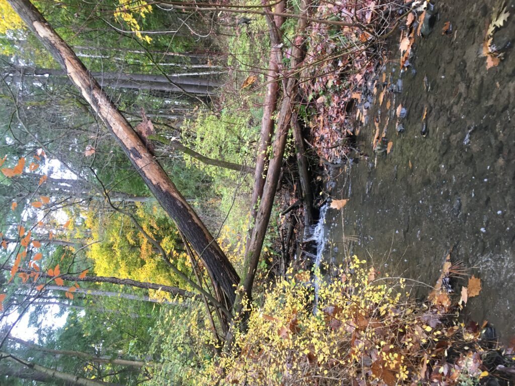
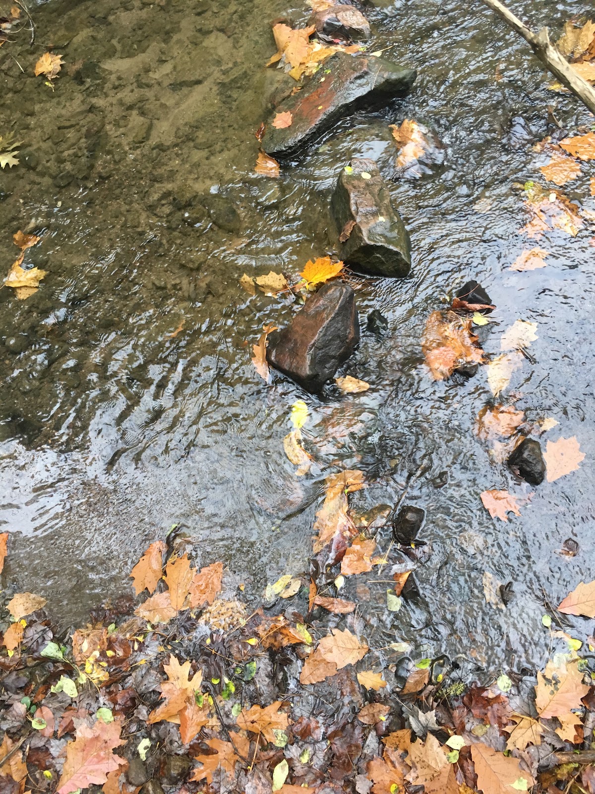
The sediment in the bottom of the brook seems like gravel and pieces of rocks, rather than silts and smaller sands. The area where the flow is the strongest is primarily surrounded by big rocks, which increases the direct risk of erosion. While trying to get as close as possible to look at the particles underneath the big rocks, I could see that the bottom of the brook is made up of finer, more clay like sediments. Because of the slope of the woody shrubs near the brook, the soil composition for these plants are very close to the brook. The water of the brook constantly hitting up against the levels of soil matter make the consistency of the incline mud like. This consistency makes it easier for the flow to erode the sides of the streambank. Being that it rained the morning of my visit and poured the night before, the flow of the brook was very intense and the water reached about a foot above the rocks below. Although because there were bigger rocks in the middle, the water level was very minute. The flow of this water changes the sound and
peacefulness of the spot because of the loud, gushing water hitting rocks.
I found it ironic that this project includes observing a natural area that you define, but there is only a certain extent of naturalness it can have because of the impact of humans. Even while walking to the brook, it is difficult to find it because so many new paths have been made by feet and when I finally arrive, I can still hear the zooming cars on I-89. Like the ferns that were hurt and crushed, there is another life that has been destroyed in the process of observing the land.