Now that the in-person portion of our first semester is drawing to a close, I find myself in Syracuse, New York with my boyfriend’s family for Thanksgiving. As flying is a little nerve-racking right now, I’m happy to have driven to a neighboring state as my hometown is about 16 hours away from Burlington. I’ve been pleasantly surprised with the natural areas central upstate NY has had to offer. On my first excursion, I visited the Erie Canal State Park to see a great example of socio-ecological systems. Take a look at the gallery and captions below to see what I mean…
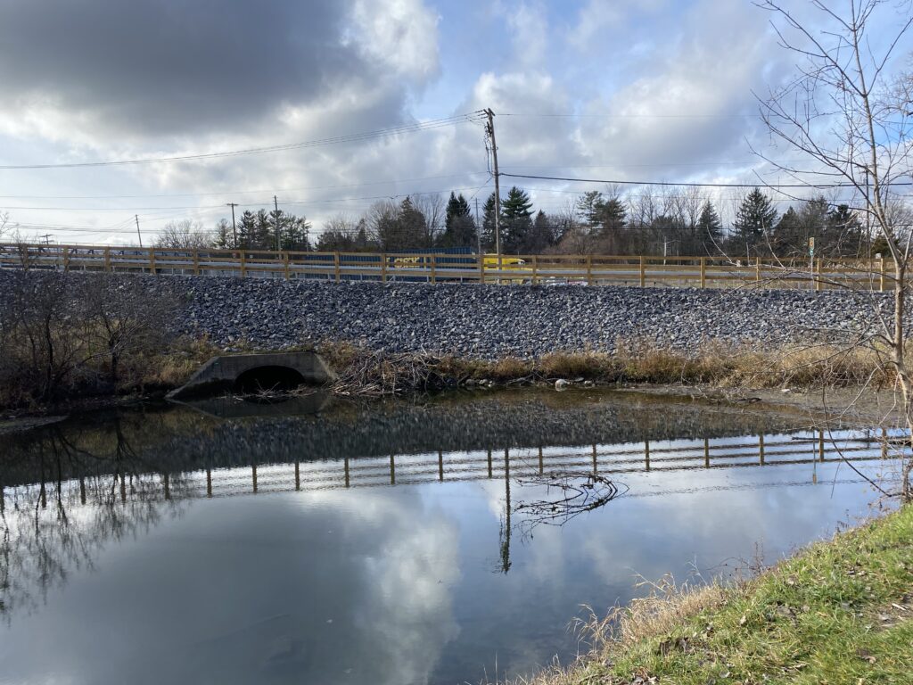
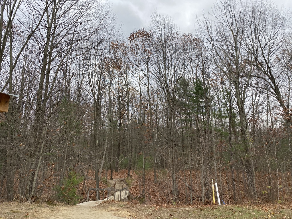
At the “trailhead” you can see where the highway passes over this man-made body of water. 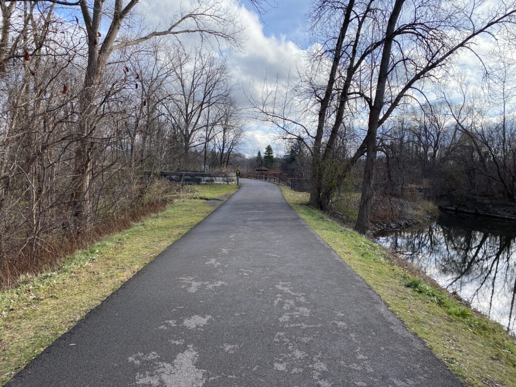
This New York State Park’s trails are entirely paved. I wonder how this impacts the canal since cement is an impervious surface. 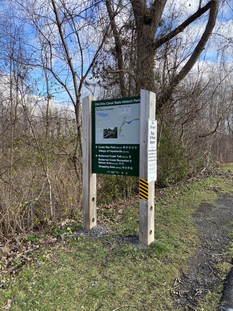
A map of the trail network. 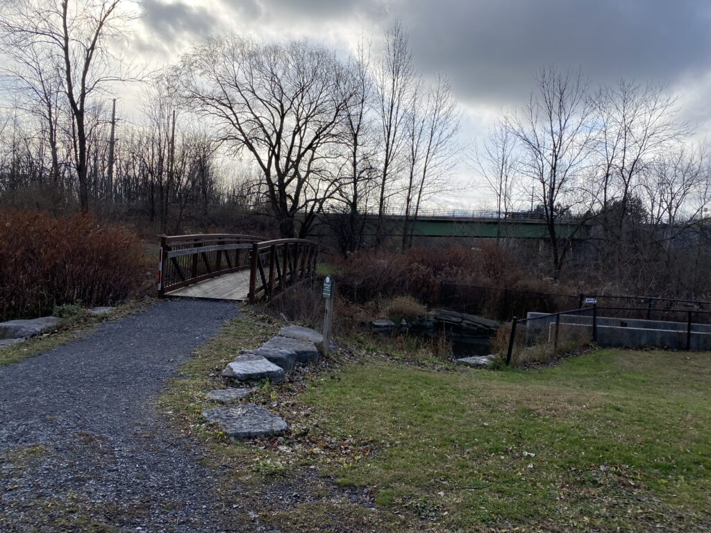
A man-made bridge crossing over the canal. 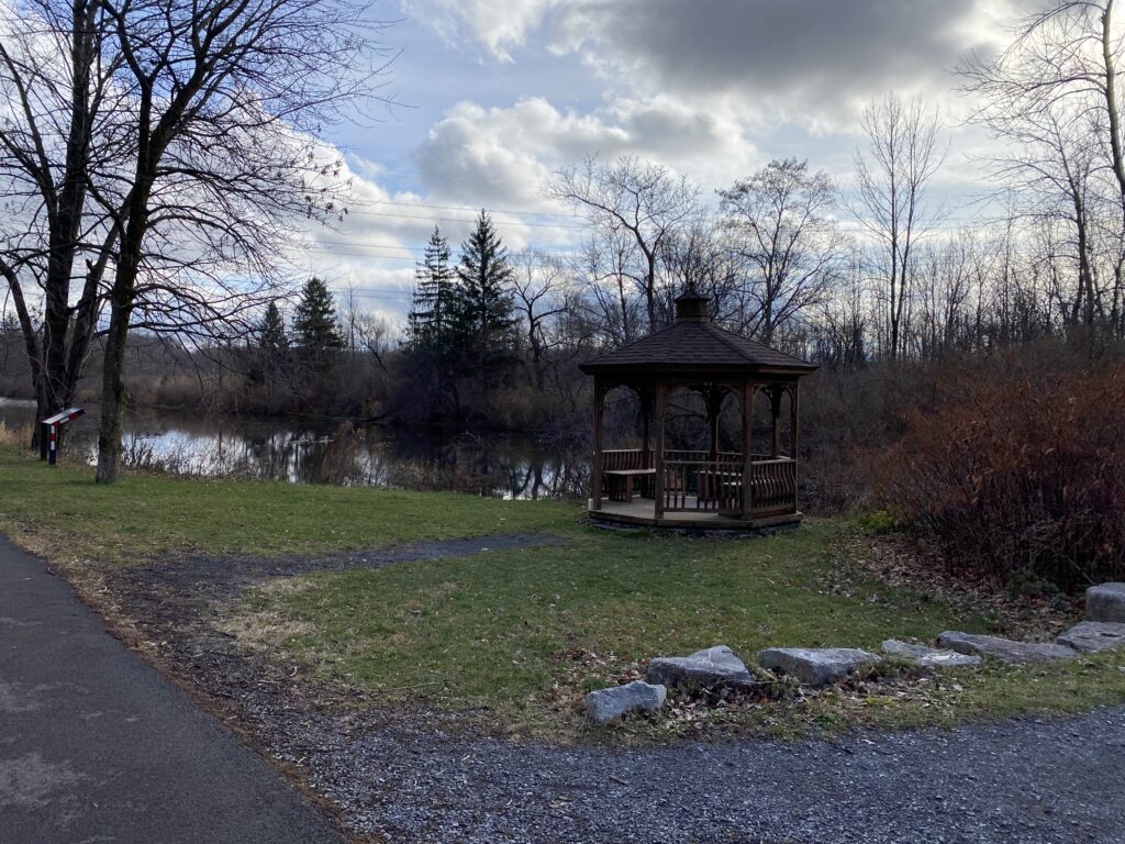
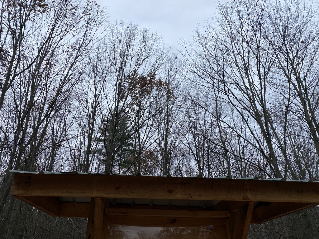
A gazebo at the beginning of the trail. 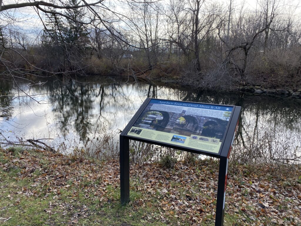
Here’s a signpost explaining aqueducts as this section of the canal has many. 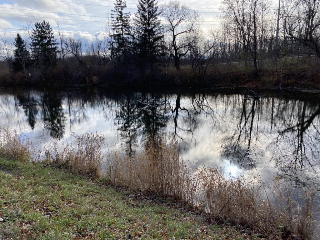
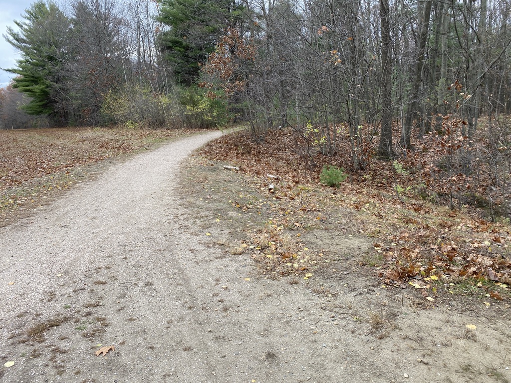
The view of the canal from the paved trail. 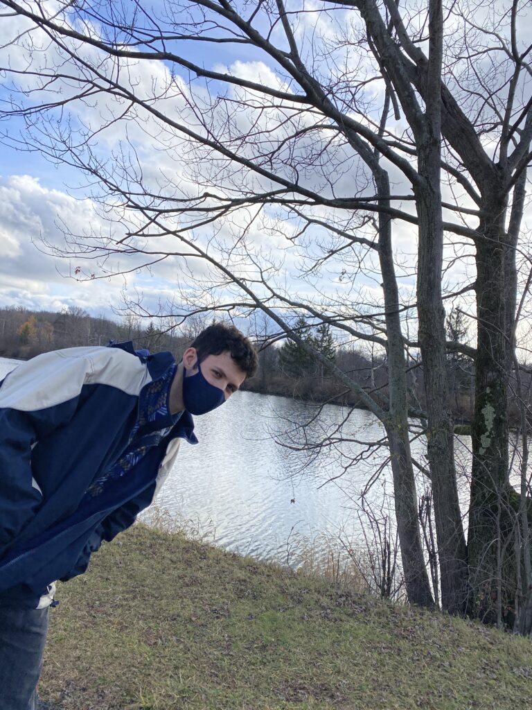
Someone wanted to be a part of the blog post! 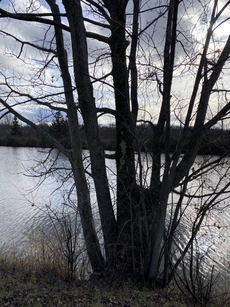
Some American Basswood growing out of the canal’s bank. 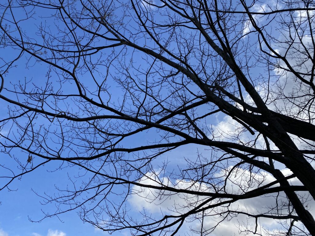
Blue skies; a rare sight in Syracuse! 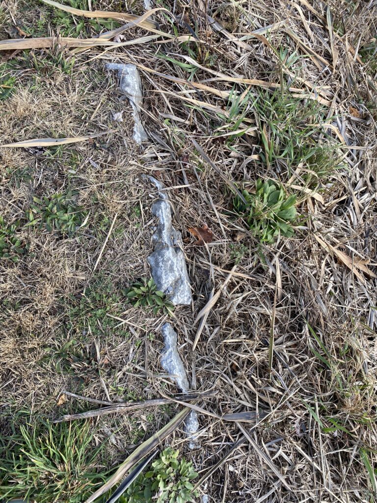
Seeing some bedrock coming through…reminds me of our time at Rock Point. 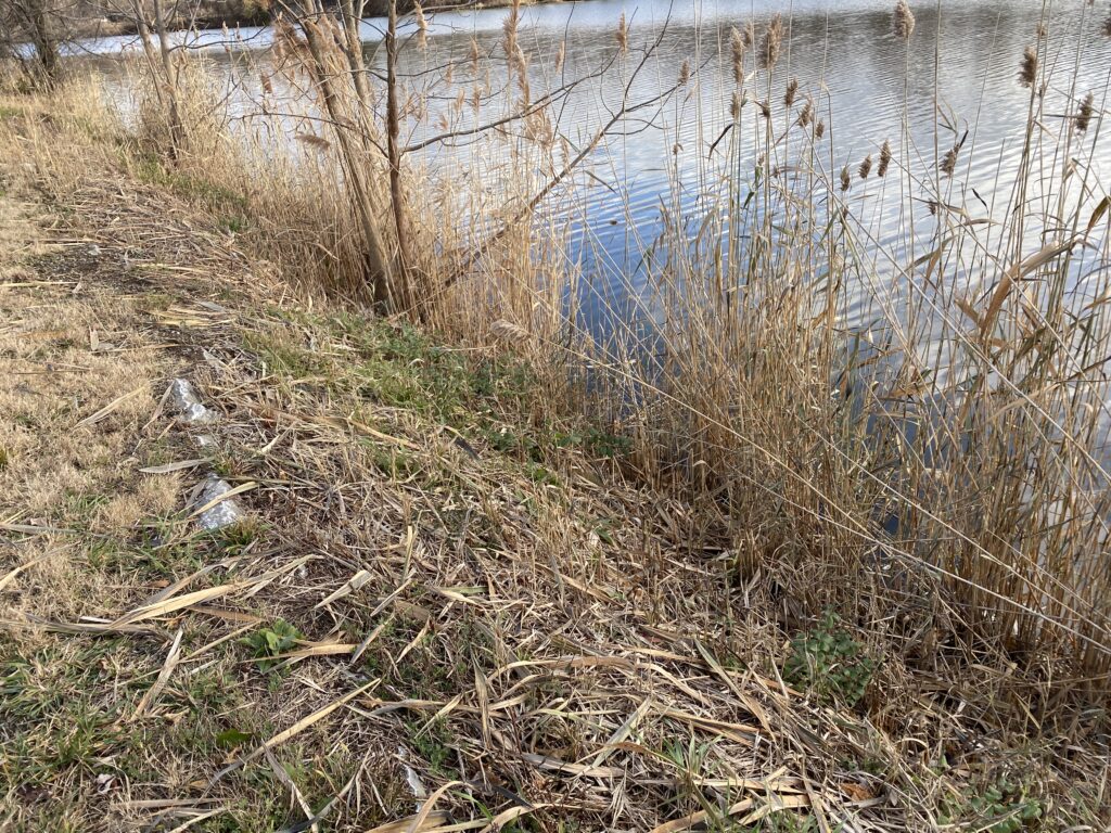
Some reeds along the canal’s bank. 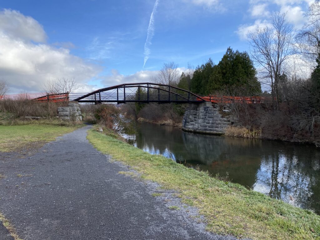
The perfect example of the intersectionality of infrastructure and natural areas. 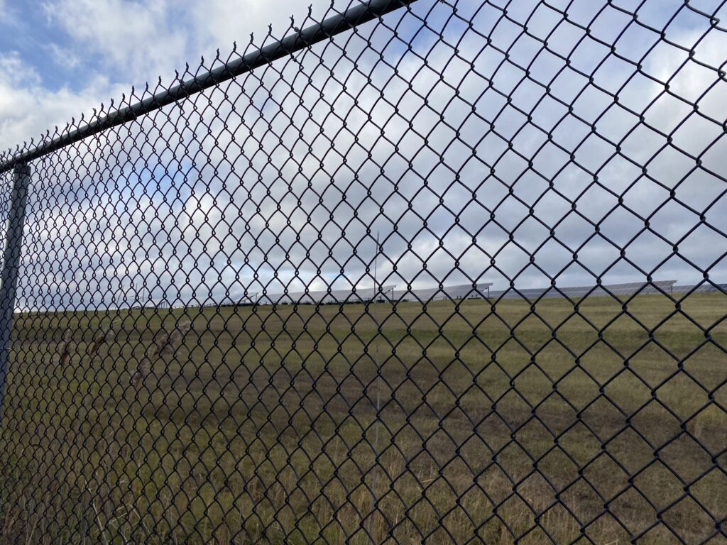
Some random solar panels being installed on what we think is the old town landfill. I wonder how the leeching of the pollutants from the landfill affects the canal.
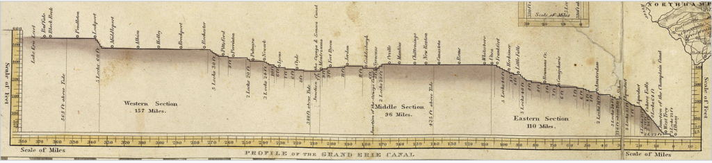
Walking through the Erie Canal State Park showed me how much I’ve learned from NR 001. I really enjoyed being able to point out different features and understand from Walt and Chris’s lectures why things look the way they do. Looking to the opposite of the Canal and seeing what used to be a landfill was startling: who would think to put that there? How has this impacted the water quality? Looking at the natural history of this area, I understand that the canal was not built for recreation or beautification. The Erie Canal served as a transportation highway, traveling through limestone and the mountains as it was carved from east to west. Below is a profile of the originally planned Erie Canal:
The canal was instrumental in bringing travels to New York City which took away valuable business from previously popular shipping ports like Baltimore and Philly. This greatly lowered the cost of shipping between the Northeast and Midwest as well as lowering food costs. Further, the Erie Canal allowed the East to ship machinery efficiently to the Midwest.
Despite these positive economic effects, the canal could leak saltwater into groundwater reservoirs, greatly contaminating the reservoirs. The canal could also create a physical barrier for wildlife, which could be fixed via a Riparian buffer zone. Unfortunately this land use solution has not been implemented, as we can see through the fence on the north side of the canal in my photos.
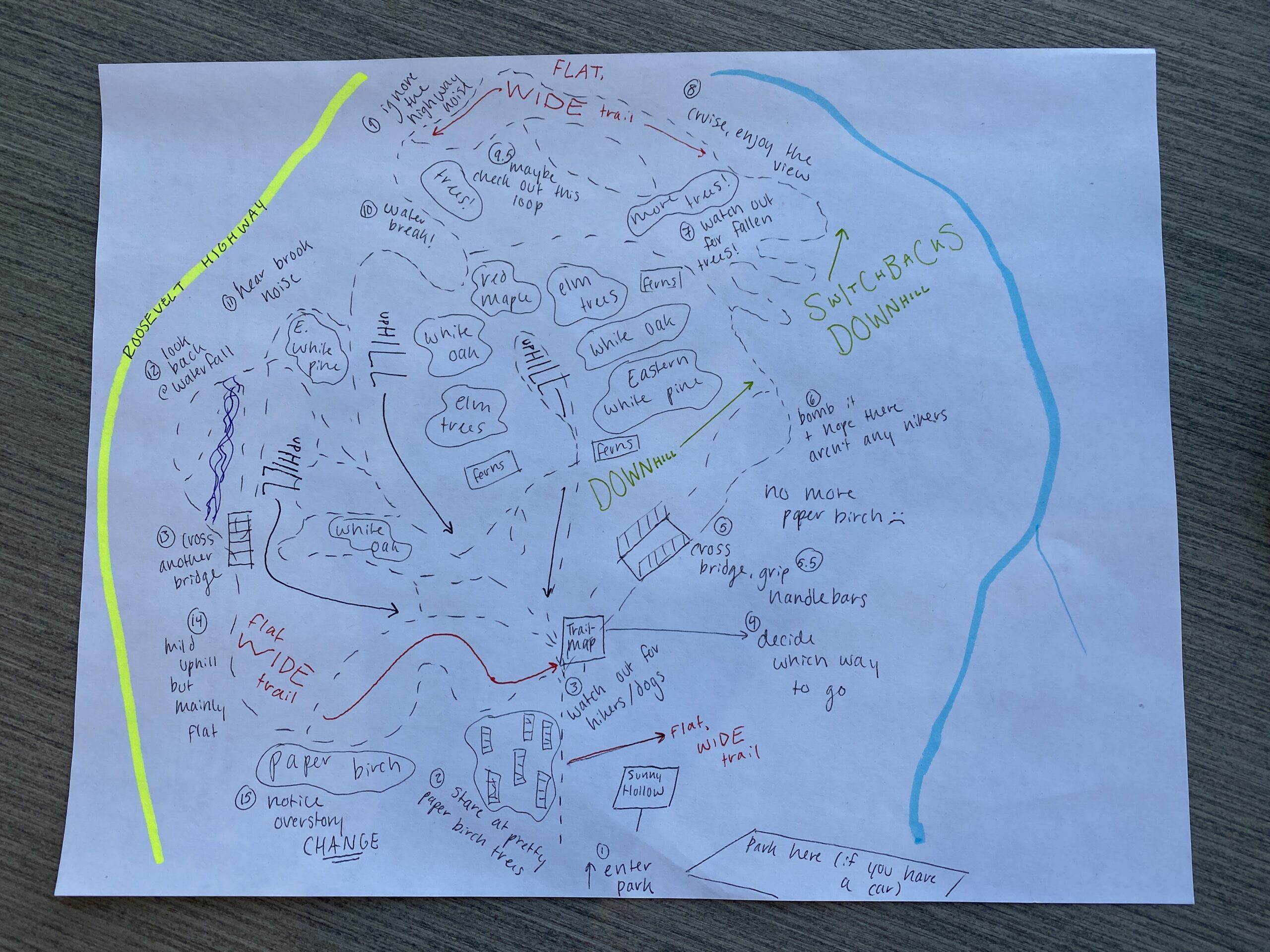
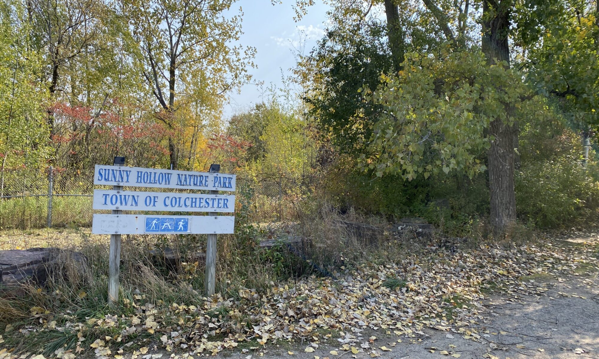
Erie Canal State Park vs Sunny Hollow Natural Area
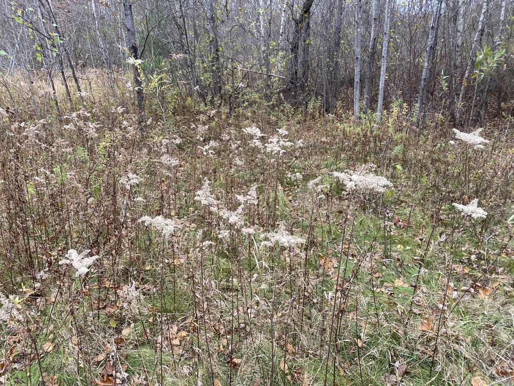
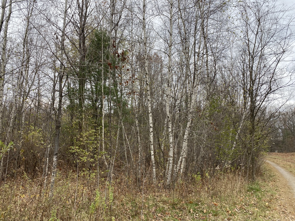
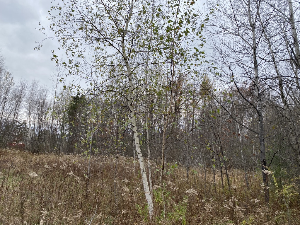
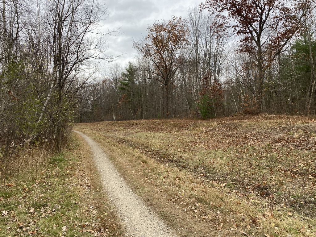
On the surface, Syracuse, New York and Colchester, Vermont could not be more different. With the Green Mountains set in the background to the east and Lake Champlain to the west, Colchester sits in a far more “rural” area than that of Syracuse. The Erie Canal is a shipping port turned State Park whereas Sunny Hollow has always been maintained as a Natural Area for recreation. Though both of these sites are set off of a major roadway, Sunny Hollow is set back in a wooded area that makes you forget about the Costco less than a mile away. Erie Canal State Park doesn’t quite offer this same feel; you can hear and see the highway at the “trailhead” and throughout most of your walk down the concrete path that feels more industrial than natural. There is far more wildlife roaming around Sunny Hollow than the Erie Canal State Park as Sunny Hollow offers more options for habitats, from the various tree species and shrubbery to the small brook running alongside the Natural Area’s western edge. The State Park doesn’t have these spaces for wildlife to establish permanent homes because it is such a narrow area that is exposed to the Canal as well as what we believe used to be the town of Dewitt, New York’s landfill. In terms of tree species in both of these sites, Sunny Hollow has more variety which can be seen in previous posts on this blog. From Paper Birch to Red Maple and White Oak, Sunny Hollow’s overstory is quite varied whereas the Erie Canal State Park features lots of reeds along its bank as well as some American Basswoods and other thinner trees in nature. Despite their differences, both of these sites are natural areas that show nature does not have to be in a National Park to be meaningful.