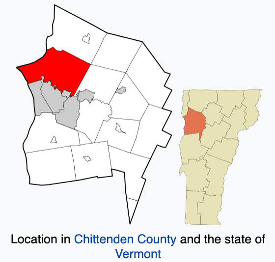
Human History

Colchester

As one of the oldest communities in the state of Vermont, Colchester was chartered on June 7 of 1763. Colchester Center, the rural part of this primitive town, consisted of farmers, tradesmen and millers who lived north of the busyness of Winooski Falls. In 1813, the first post office in Colchester Center began along with 14 school districts. Unlike Burlington, Colchester is unique in that it lacks a centra downtown area. Historians contribute this to the industrial and commercial uses of the Winooski falls area because it drew rural residents to its downtown for shopping and other business, rather than creating a downtown Colchester. The size of this town, 37 square miles, doesn’t do Colchester too many favors in terms of creating a downtown as there isn’t really space to do so.

Bike WA to VT, Write History: Colchester, Vermont
Author Unknown. (Graphic). (2016). Town of Colchester, Vermont [Graphic]. Retrieved December 1, 2020.

The Chartering of Colchester

June 7 of 1963 saw nine charters issued granting a six mile wide strip of land on each side of the Winooski River to primarily residents of New York. These strips of land stretched from the mouth of the river to a point east of the river’s break through the Green Mountains. 10 of these grantees created the next town north of the mouth of the Winooski River that we now know as Burlington. The town on the north shore of the river became what is presently Colchester.

Colchester’s First Farmers

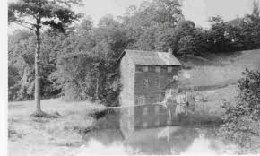
The most primitive infrastructure of this town included saw mills and lumber. William Munson, who worked with Ira Allen to create one of Colchester’s saw mills, formed one of the town’s first farms in 1793, followed by Ebenezer and Elijah Wolcott establishing their farm in 1795.

Colchester Vermont Historical Society - Home | Facebook
Author Unknown. (Photograph). (Date unknown). Munson Saw Mill [Photograph]. Retrieved December 1, 2020.

Farming in the Nineteenth Century

As I draw on my knowledge from NR 001, the sheep era ended in the late eighteenth century which gave way to farming. A variety of crops were grown in Colchester because of the diverse soil composition allowing for successful growing of predominantly potatoes, fruits and grains. The success of the sheep era led to improved use of the acres of land available in Colchester over time as they continued to raise successful crops. This success then shifted from agriculture to dairy as the number of cows rose, and in turn, the production of cheese and butter rose exponentially, even producing as much as 74,775 pounds of butter in 1870 alone.

Twentieth Century Colchester

Colchester farms saw a decline in the middle of the twentieth century, mainly after World War II, as did many areas of Chittenden County and New England as a whole. The dairy production in Colchester that was its main source of revenue saw a great decline as fears of disease from farming caused a change in attitude about agriculture. This led to farmers reassessing how their barns were constructed and what methods they used to farm which lead to a great modernization in agriculture. Many farmers in Colchester came together in union-like communities in attempt to bring fairer prices and circumstances to their farms. Despite all of these efforts, the town’s agricultural production declined following the war causing many farms to close their barn doors permanently.

Colchester Today

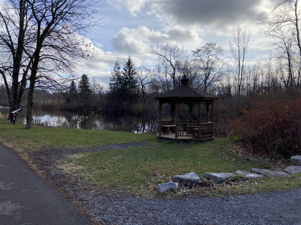
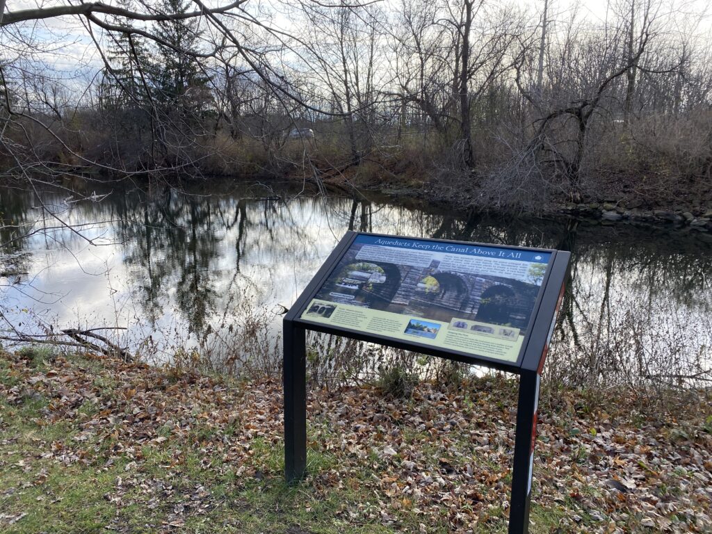
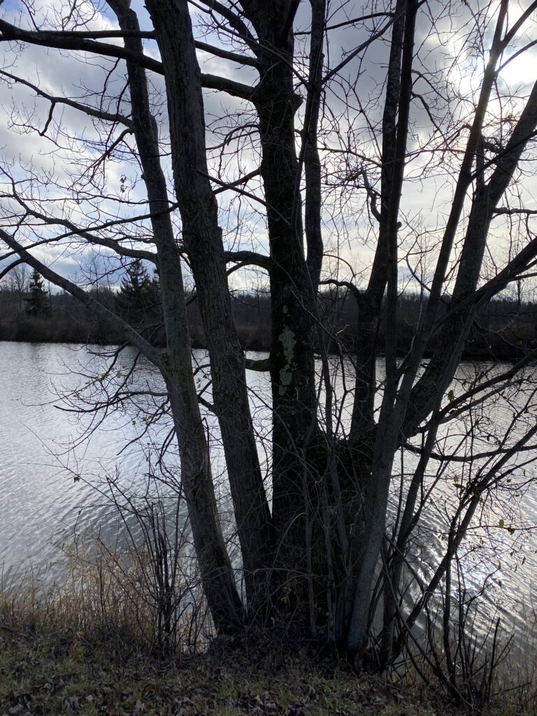
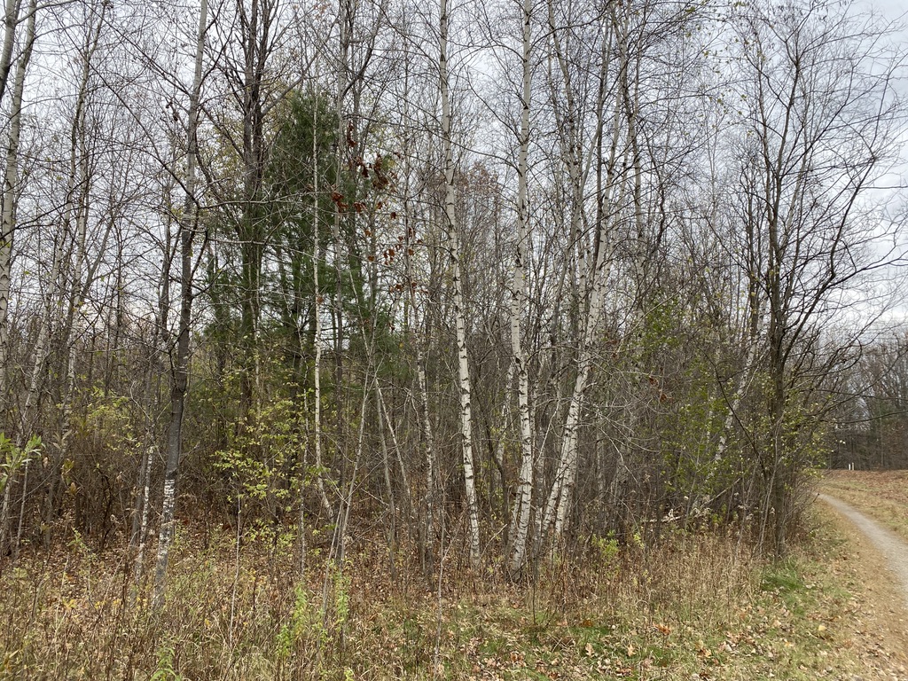
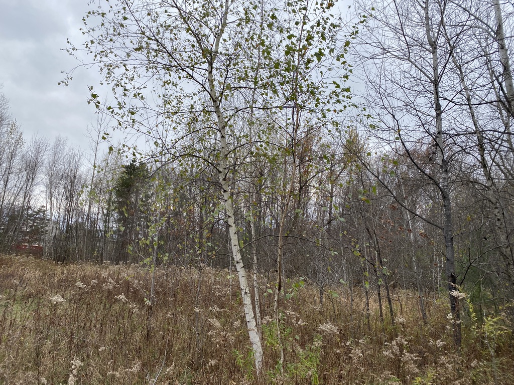
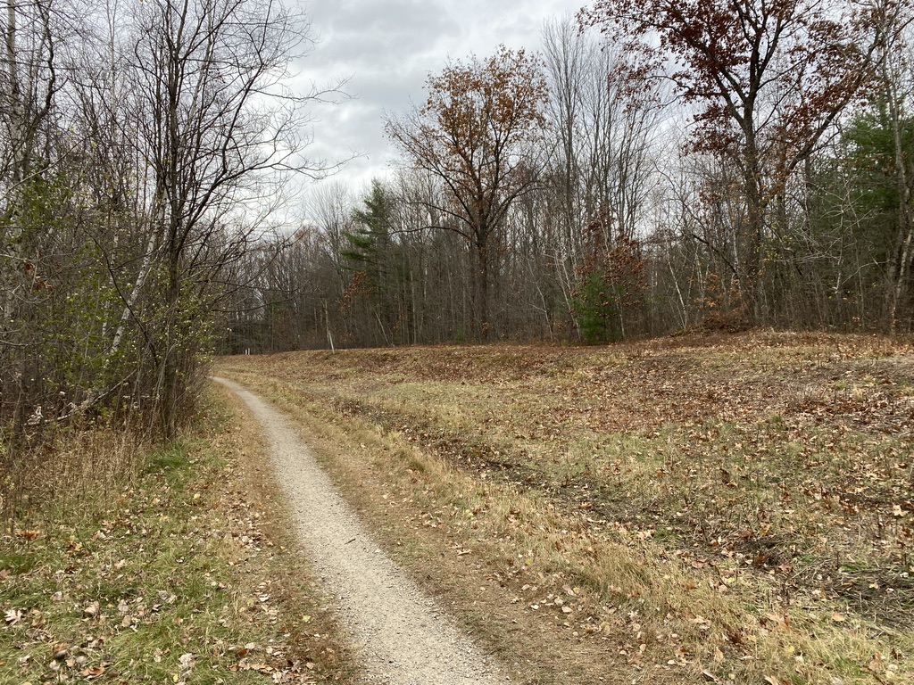
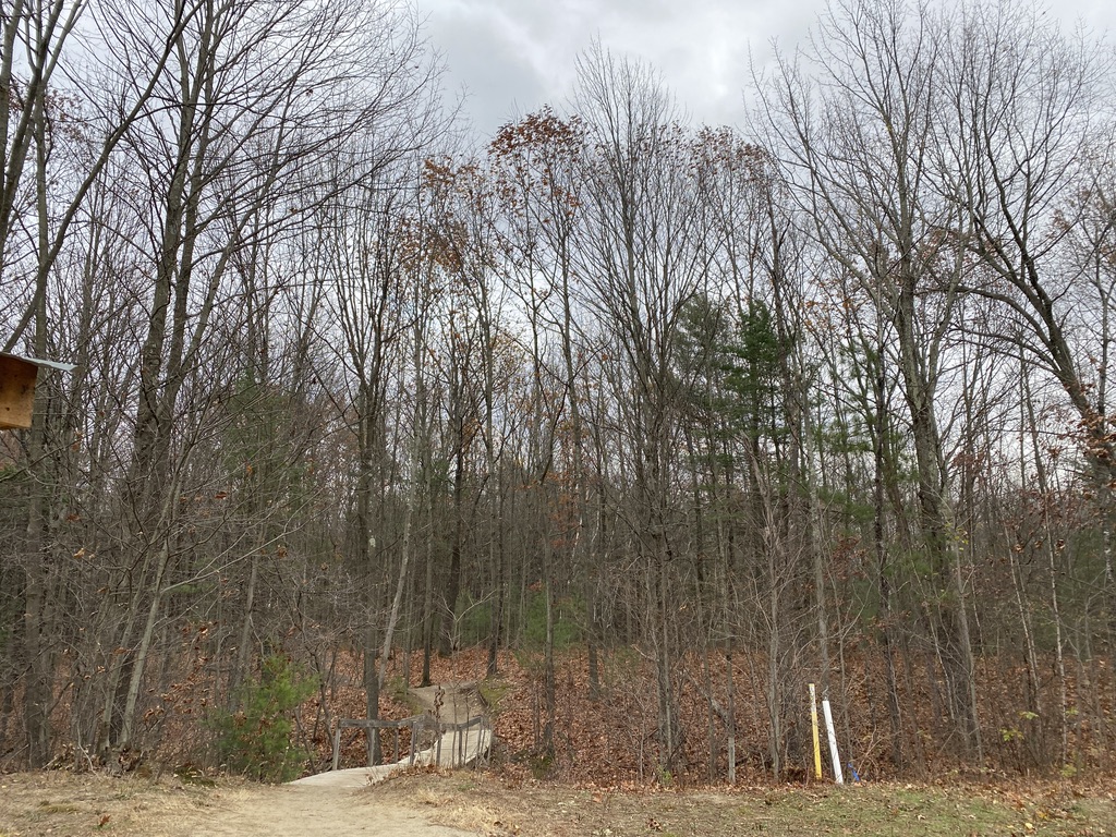
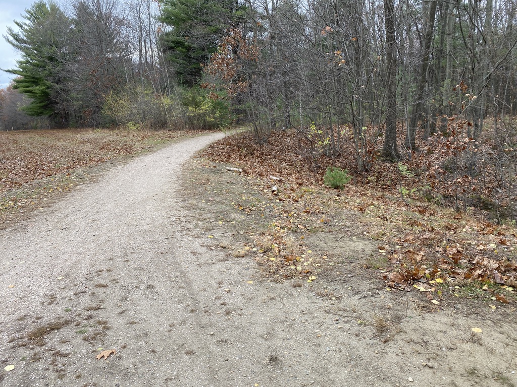
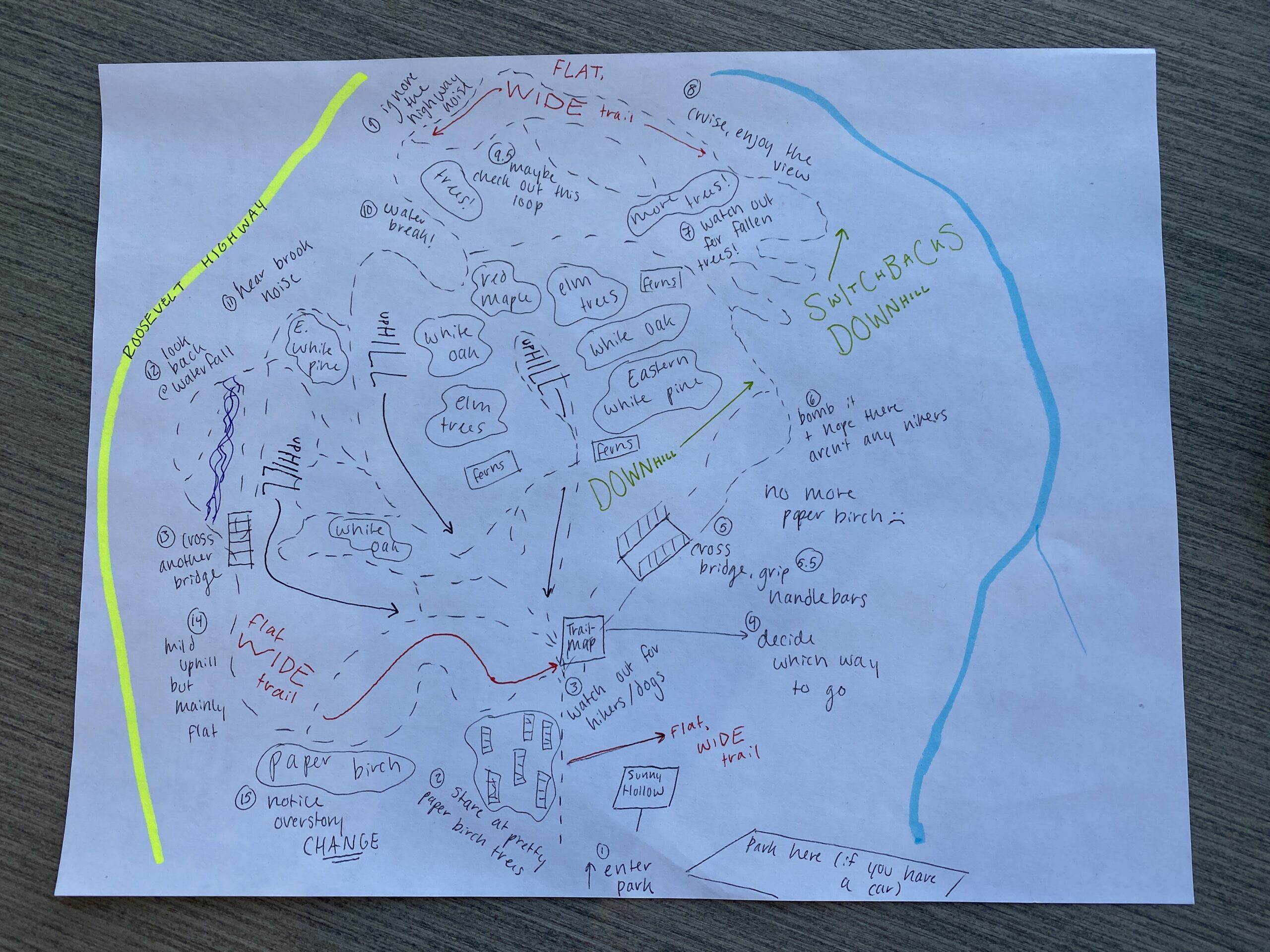
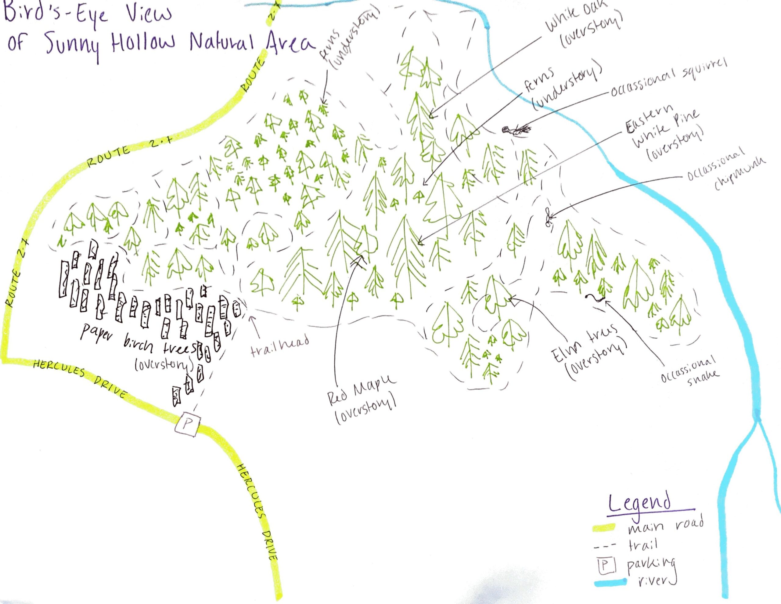
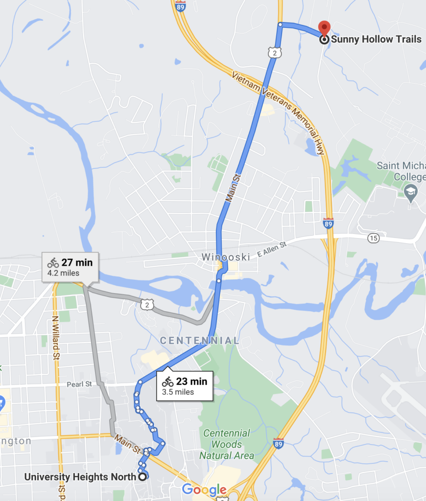
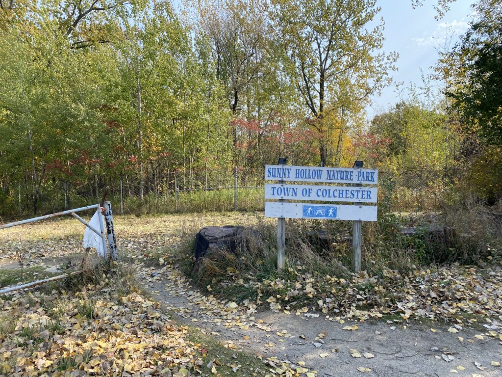
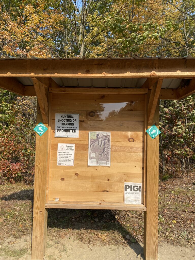
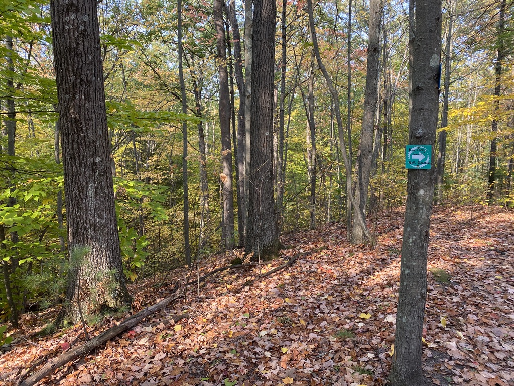
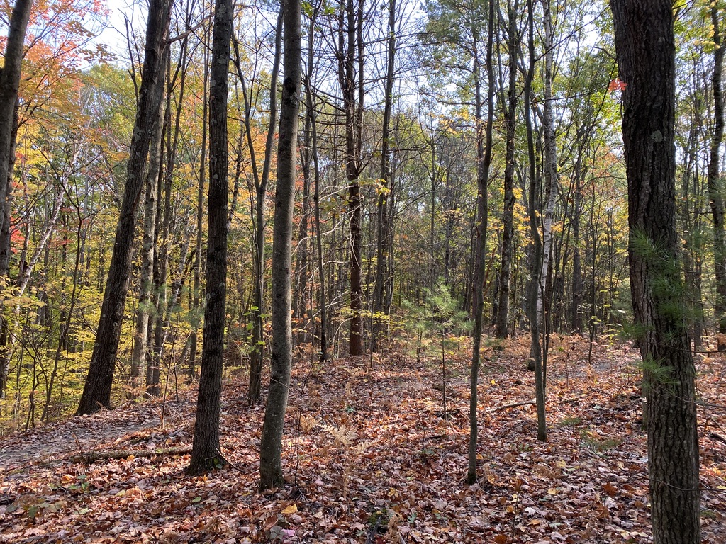
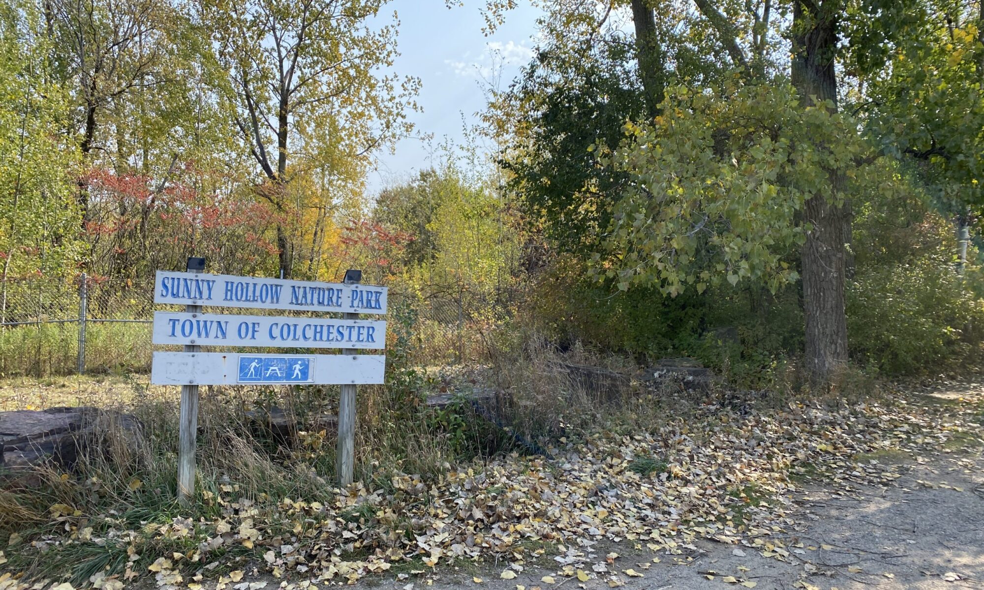
According to the 2010 Census, the population of Colchester is 17,067 people, making it the second most populated town in the state of Vermont. As Colchester is a suburb of Burlington, it lies north of the city and on the eastern shore of Lake Champlain. Colchester serves as the base of the Vermont National Guard as well as Saint Michael’s College and Vermont’s campuses of Albany College of Pharmacy and Health Science as well as Southern New Hampshire University. Colchester is also the home of my phenology site, Sunny Hollow Natural Area!

Author Unknown. (Map). (2015). Chittenden County Vermont incorporated and unincorporated areas Colchester [Map]. Retrieved December 1, 2020.

Works Cited

History of Colchester. (n.d.). Retrieved December 01, 2020, from https://www.colchestervt.gov/474/History-of-Colchester

Warburton, E. (2010). Vermont Barn Census. Retrieved December 01, 2020, from http://www.uvm.edu/~hp206/2010/Colchester/Colchester/history.html

Summary Statistics for the U.S., States, and Selected Geographies: 2010. (n.d.). Retrieved December 01, 2020, from https://data.census.gov/cedsci/table?q=colchester+vermont

We’re not in Burlington anymore!

Now that the in-person portion of our first semester is drawing to a close, I find myself in Syracuse, New York with my boyfriend’s family for Thanksgiving. As flying is a little nerve-racking right now, I’m happy to have driven to a neighboring state as my hometown is about 16 hours away from Burlington. I’ve been pleasantly surprised with the natural areas central upstate NY has had to offer. On my first excursion, I visited the Erie Canal State Park to see a great example of socio-ecological systems. Take a look at the gallery and captions below to see what I mean…

Walking through the Erie Canal State Park showed me how much I’ve learned from NR 001. I really enjoyed being able to point out different features and understand from Walt and Chris’s lectures why things look the way they do. Looking to the opposite of the Canal and seeing what used to be a landfill was startling: who would think to put that there? How has this impacted the water quality? Looking at the natural history of this area, I understand that the canal was not built for recreation or beautification. The Erie Canal served as a transportation highway, traveling through limestone and the mountains as it was carved from east to west. Below is a profile of the originally planned Erie Canal:

Rumsey, D. (2005). 1832 Profile of the Erie Canal [A profile of the Erie Canal cropped from a map of New York in 1832].

The canal was instrumental in bringing travels to New York City which took away valuable business from previously popular shipping ports like Baltimore and Philly. This greatly lowered the cost of shipping between the Northeast and Midwest as well as lowering food costs. Further, the Erie Canal allowed the East to ship machinery efficiently to the Midwest.

Despite these positive economic effects, the canal could leak saltwater into groundwater reservoirs, greatly contaminating the reservoirs. The canal could also create a physical barrier for wildlife, which could be fixed via a Riparian buffer zone. Unfortunately this land use solution has not been implemented, as we can see through the fence on the north side of the canal in my photos.

Erie Canal State Park vs Sunny Hollow Natural Area

On the surface, Syracuse, New York and Colchester, Vermont could not be more different. With the Green Mountains set in the background to the east and Lake Champlain to the west, Colchester sits in a far more “rural” area than that of Syracuse. The Erie Canal is a shipping port turned State Park whereas Sunny Hollow has always been maintained as a Natural Area for recreation. Though both of these sites are set off of a major roadway, Sunny Hollow is set back in a wooded area that makes you forget about the Costco less than a mile away. Erie Canal State Park doesn’t quite offer this same feel; you can hear and see the highway at the “trailhead” and throughout most of your walk down the concrete path that feels more industrial than natural. There is far more wildlife roaming around Sunny Hollow than the Erie Canal State Park as Sunny Hollow offers more options for habitats, from the various tree species and shrubbery to the small brook running alongside the Natural Area’s western edge. The State Park doesn’t have these spaces for wildlife to establish permanent homes because it is such a narrow area that is exposed to the Canal as well as what we believe used to be the town of Dewitt, New York’s landfill. In terms of tree species in both of these sites, Sunny Hollow has more variety which can be seen in previous posts on this blog. From Paper Birch to Red Maple and White Oak, Sunny Hollow’s overstory is quite varied whereas the Erie Canal State Park features lots of reeds along its bank as well as some American Basswoods and other thinner trees in nature. Despite their differences, both of these sites are natural areas that show nature does not have to be in a National Park to be meaningful.

Third Visit to Sunny Hollow

State of the Trails: Nov. 4, 2020

On this trip to Sunny Hollow, I observed a barren overstory and a crunchy set of trails. The leaves are nearly entirely off of their trees, crowding the paths that make this recreation site so popular. There is still a bit of green poking through in the understory as you can see pictured in the gallery below. This changing of the seasons helps the stark white of the paper birch trees to stand out amongst the other vegetation as you enter the trail network. As these are my favorite trees, I am a bit biased as to how beautiful I think they can look even on a grey November day. The trails have been cleared of leftover sand to give a bit more traction for those of us that like to bike them. I wonder who is responsible for this; could it be the city of Colchester? Or perhaps a retired person with some extra time and love for the outdoors.

Event Map

Below is my hand-drawn event map that gives a glimpse into what a ride at Sunny Hollow Natural Area is like while surveying the phenology!

Myers, M. (2020). Event Map of Sunny Hollow Natural Area [A hand-drawn map of the events that can take place while mountain biking through Sunny Hollow Natural Area in Colchester, VT].

My event map (above) shows what a ride through Sunny Hollow is like on a grey day in November. Each event is labeled with a small number circled above it, beginning with entering the park via a flat, wide gravel trail leading to the trailhead. Taking a right turn over a bridge, the change in overstory can be seen as it shifts from Paper Birch Trees to a mix of Eastern White Pines, White Oaks and Elm trees. There is also some elevation change in the form of a downhill. As a mountain biker, I typically ride down this part pretty fast and cross my fingers that I don’t run into//run over any dogs or hikers. There are then some pretty narrow switchbacks (sections of the trail that curve back and forth in a row) where it is imperative to watch for fallen trees or any other debris that could be in the middle of the trail. There is then another flat section of trail the approaches Roosevelt Highway. The road noise can definitely be heard from the trail network which could explain the lack of active animals as this noise pollution disturbs their habitat. Now it’s probably a good time to take a water break and observe the vegetation, noting some Red Maples and more of the aforementioned species. Continuing along the trail, the subtle noise of running water can be heard as a small waterfall is approaching. There is then another bridge, somewhat windy and narrow, that must be crossed before gaining back that previously lost elevation in the form of a nasty uphill. This leads to another change in overstory as the Paper Birch trees can be seen again basking in the sun as they are a shade intolerant species. This leads back to the starting point, completing a successful trek or bike through Sunny Hollow.

Second Visit to Sunny Hollow

On my second visit to Sunny Hollow Natural Area, I observed the changing of the seasons! As it is now late October, the leaves are almost completely fallen off of their trees despite it being unseasonably warm these past few days, even hitting 75 degrees Fahrenheit. As labeled in the drawing below, Sunny Hollow has an abundance of vegetation from White Oak to Eastern White Pines and a section of the Natural Area that is primarily Paper Birch. From learning about these species’ shade tolerances, I understand that the Paper Birch are all concentrated in the most exposed area as they are shade intolerant and require sunlight for survival. The Red Maple, White Oak and Eastern White Pine are all considered intermediate in their shade tolerance which explains why they are found a bit deeper in the forest. Below is my hand drawn map of the Natural Area:

Myers, M. (2020). Bird’s Eye View of Sunny Hollow Natural Area. [A hand-drawn map from a bird’s eye perspective of Sunny Hollow Natural Area in Colchester, VT].

Though there is not an abundance of wild life at Sunny Hollow, a moderate amount of squirrels, chipmunks and the occasional snake can be seen while riding or hiking the trails. This is due in part to Route 2 running alongside the west side of the natural area as it creates a noise pollution as a disturbance for the wildlife, making it not an ideal habitat. The area surrounding Sunny Hollow is also rather developed as there is another main road as well as several business establishments like Costco. There is a slight elevation change of about 335 feet throughout the area as the trails meander downslope to the river running alongside the east side of the boundary.

Here’s a fun picture of my riding partner//boyfriend after our bike on the trails!

Myers, M. (Photographer). (2020. Untitled [Photograph]. Retrieved October 19, 2020.

First Visit to Sunny Hollow

Getting There

Sunny Hollow is an 80-acre natural area in Colchester, Vermont. It has 3 miles of mountain biking trails as well as hiking and cross country ski trails. The easiest way to get here from campus is a 25 minute bike ride, heading toward Trinity Campus and following Route 2 through Winooski past the Memorial Highway and to the left, where you will find the parking lot. I chose Sunny Hollow as my phenology location for NR 001 because I can go mountain biking here while applying the practical skills I have learned through this course. Sunny Hollow is somewhat of a diamond in the rough; the parking lot is rarely full but the site offers a secluded feel despite being off of a main road. Many different types of vegetation can be observed in the under- as well as overstory.

Biking directions from University Heights North to Sunny Hollow Natural Area. Google Maps. (2020). [Sunny Hollow Natural Area. Colchester, VT] [Street Map]. Retrieved October 3, 2020, from https://goo.gl/maps/vEy1g.

Trailhead

Once you arrive at the parking lot, there is a sign marking the beginning of the Natural Area. Follow the trail past the gate and to the left until you reach the designated trailhead showing a topographic map of the trails within the Natural Area. This network consists of several 3 mile loops of trails, ranging from beginner to advanced on a technical mountain biking scale. There’s quite a bit of elevation change as you venture deeper into the Natural Area. While visiting Sunny Hollow, I came across other outdoor enthusiasts using the trails for hiking, dog walking and biking.

Vegetation

Sunny Hollow is a diverse natural full of thriving tree species, including Paper Birches, Eastern Hemlocks, Eastern White Pines as well as White Oaks and Red Maples. In terms of herbaceous species in the understory, many ferns as well as young tree species can be seen alongside the trails. As these photos were taken in mid-October, the trees in the overstory’s chlorophyl is beginning to break down and creating the myriad of colors characteristic of fall in Vermont.

Myers, M. (Photographer). (2020). Untitled [Sunny Hollow Natural Area, Multiple Photographs]. Retrieved October 4, 2020.