introduction to place:
directions to the salmon hole:
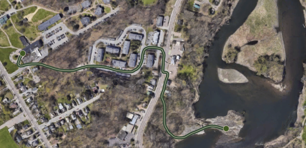
44.487967, -73.189555
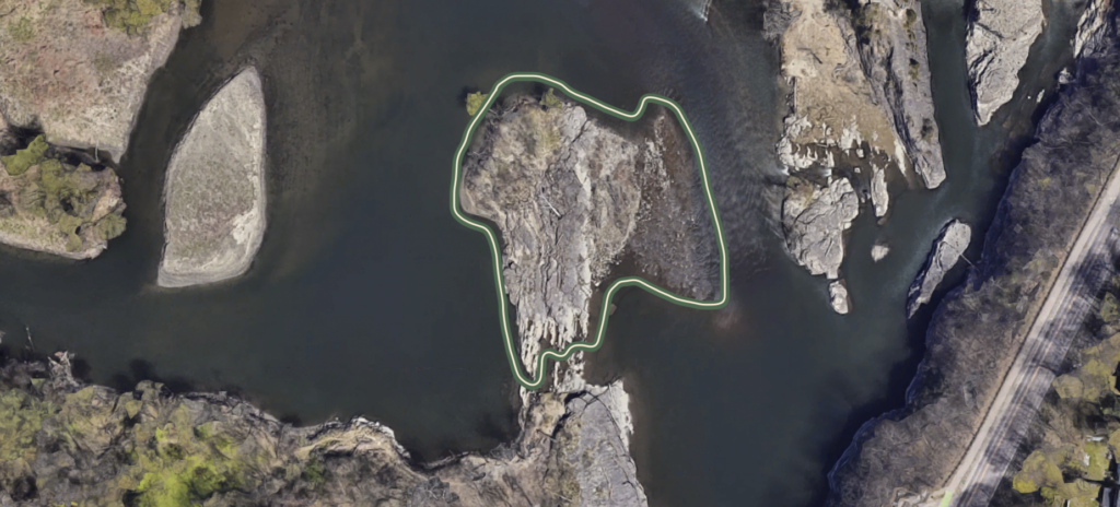
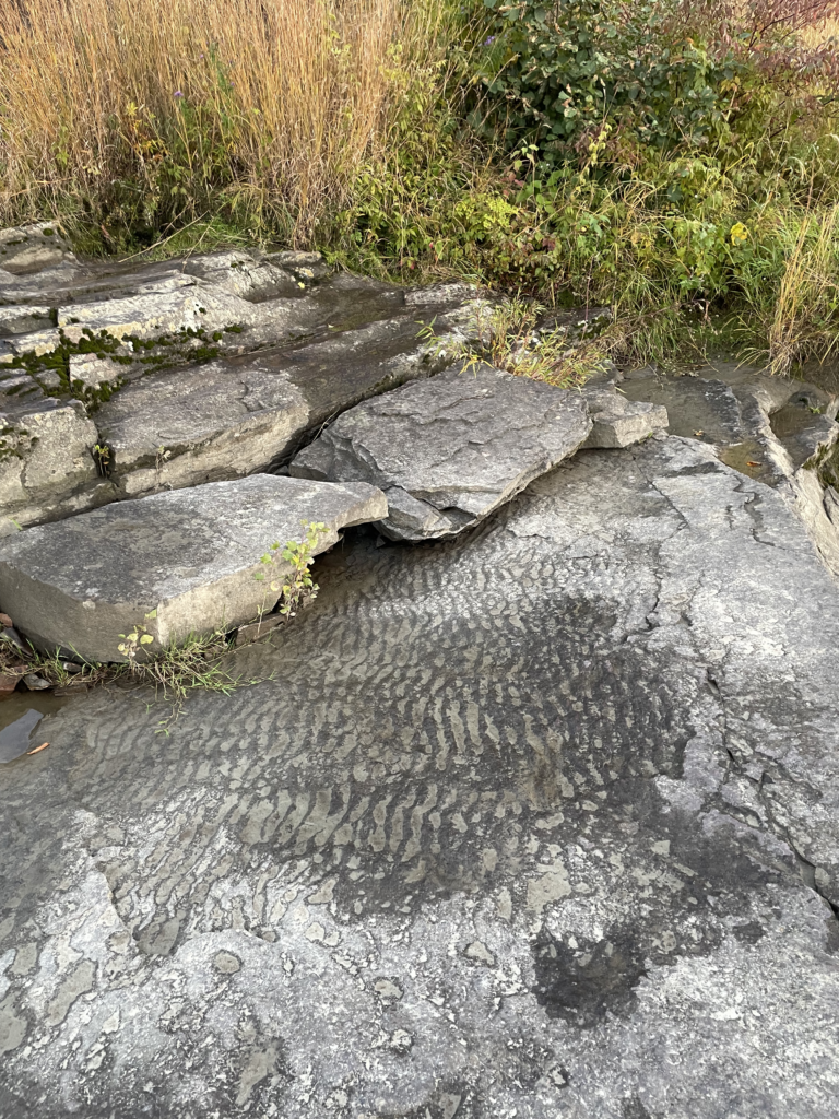
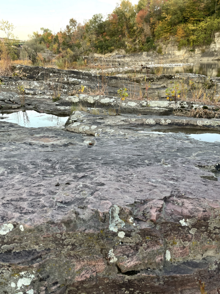
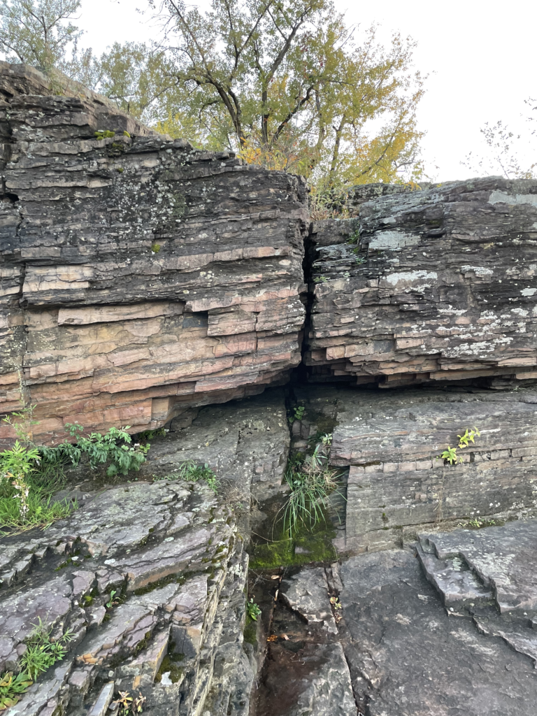
I chose this location because I enjoyed getting to view the distinct lateral strata, moving from east to west along the outcrop. As I return to this place, I anticipate looking further into these exposed strata, and compiling my observations to create a cross section and rudimentary geologic time scale of the area.
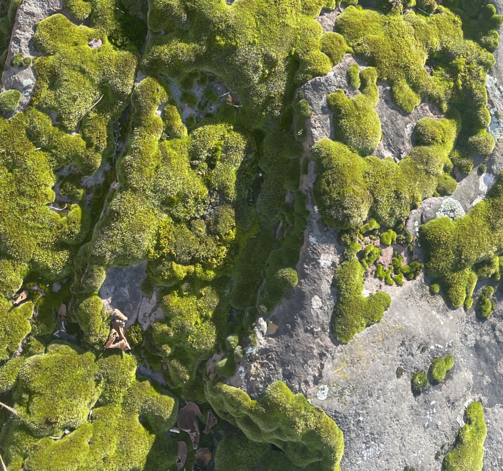
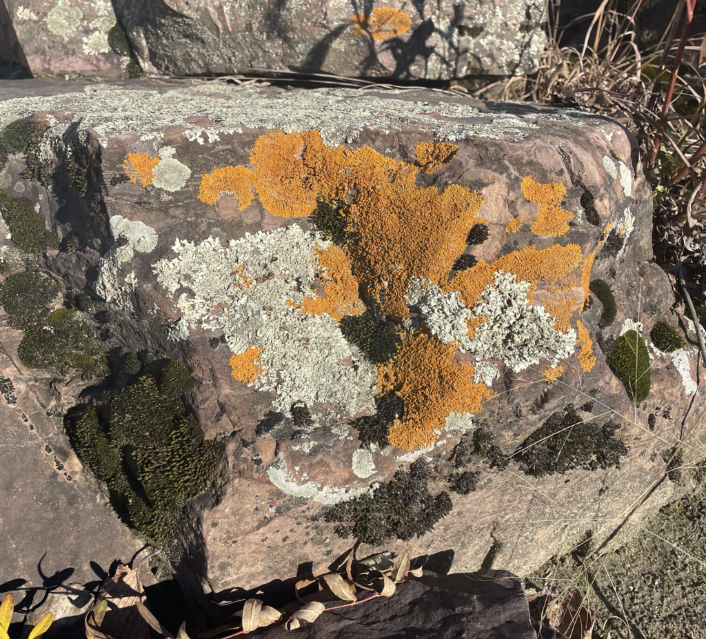
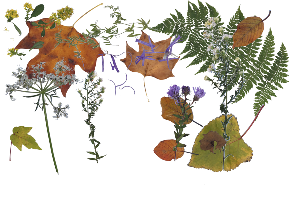
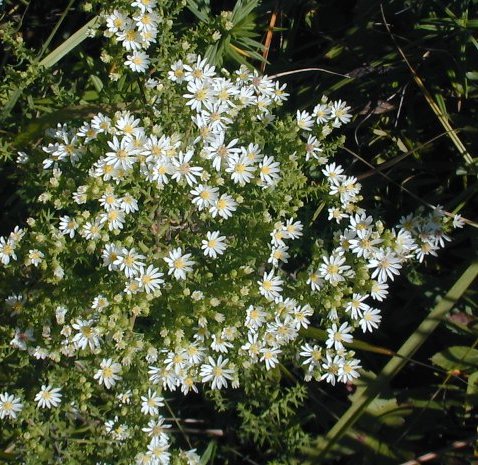
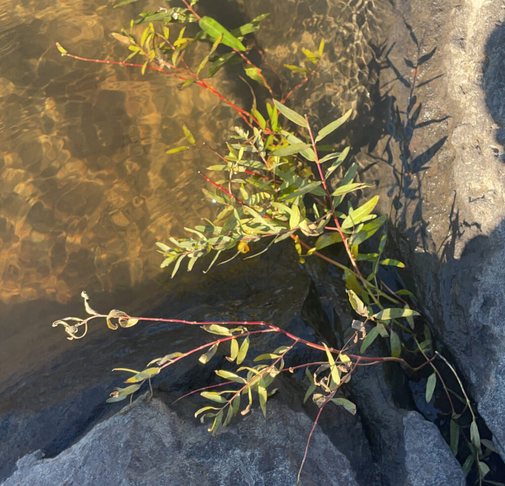
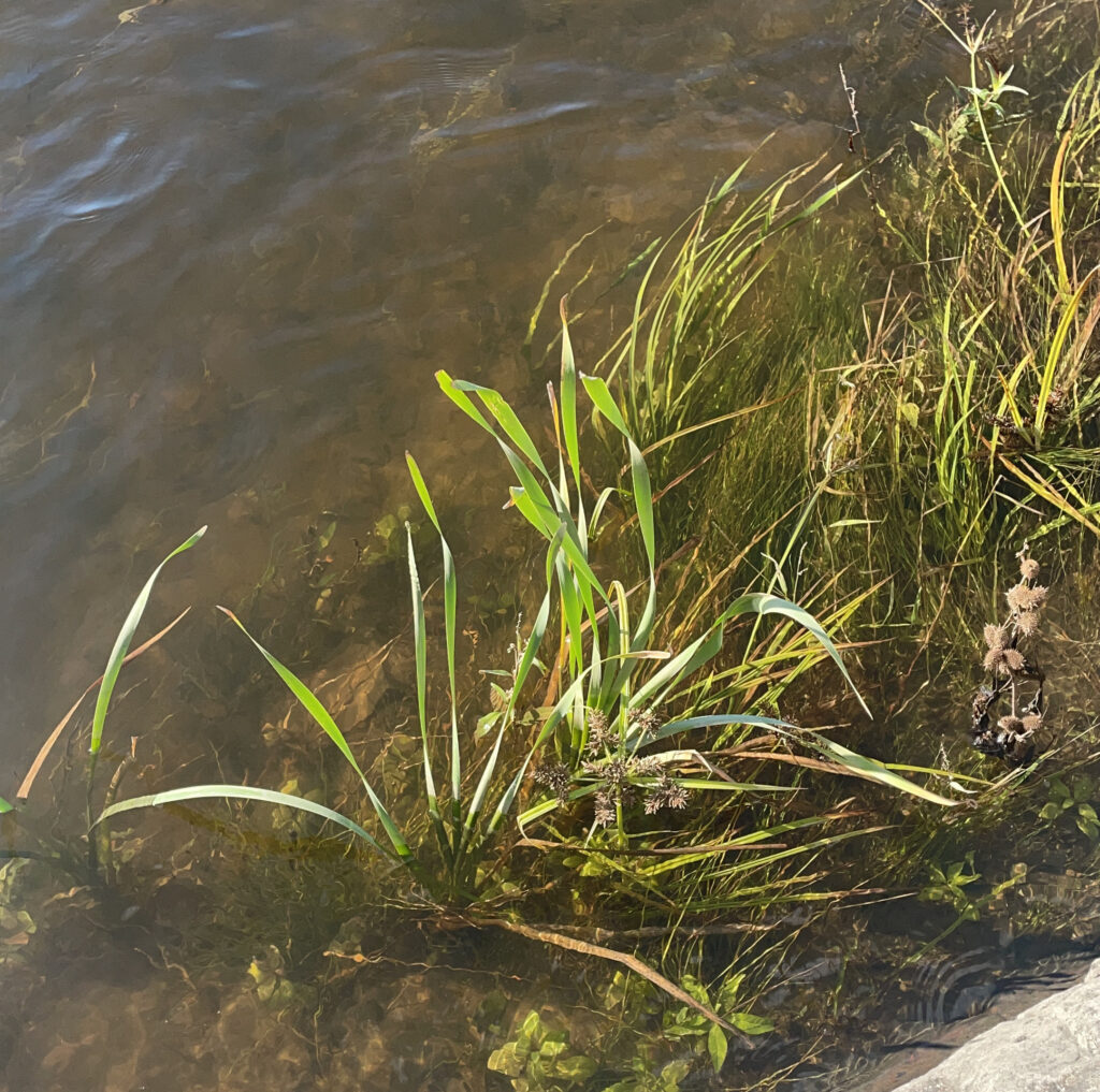
ecosystem vegetation
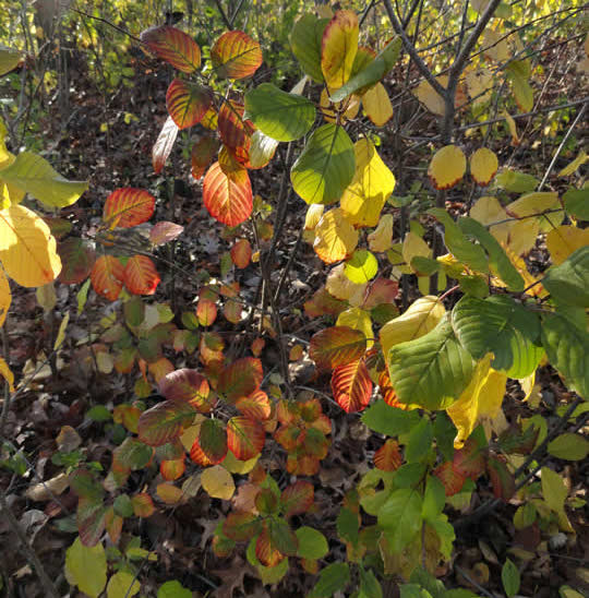
tree species

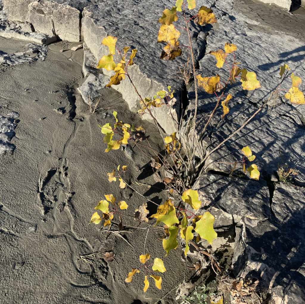
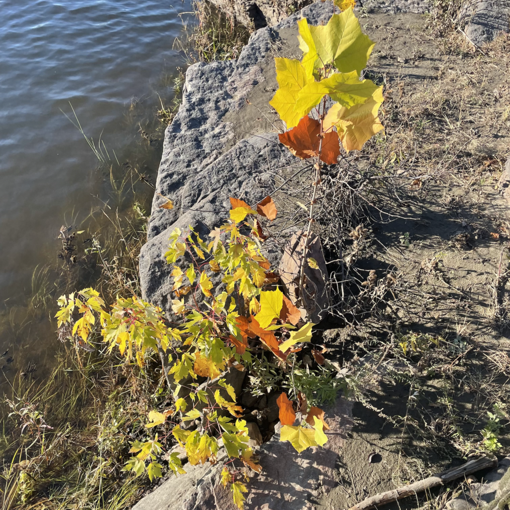
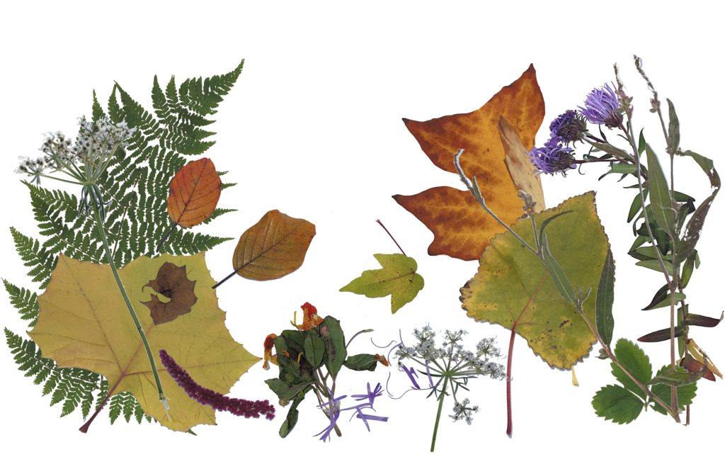
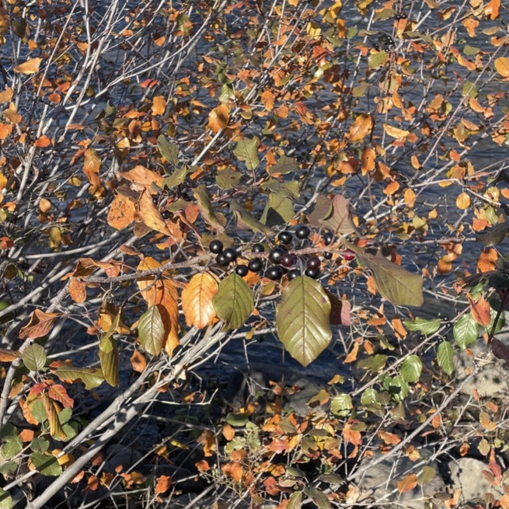
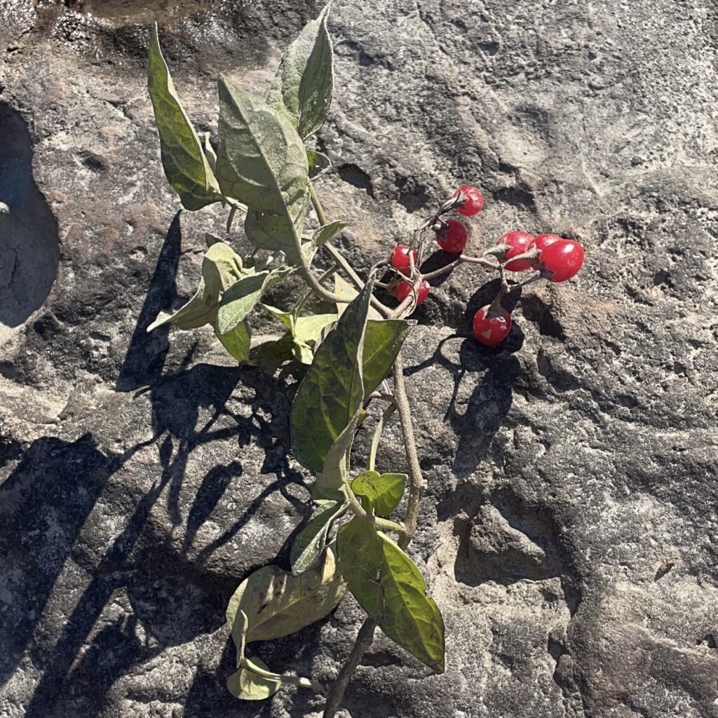
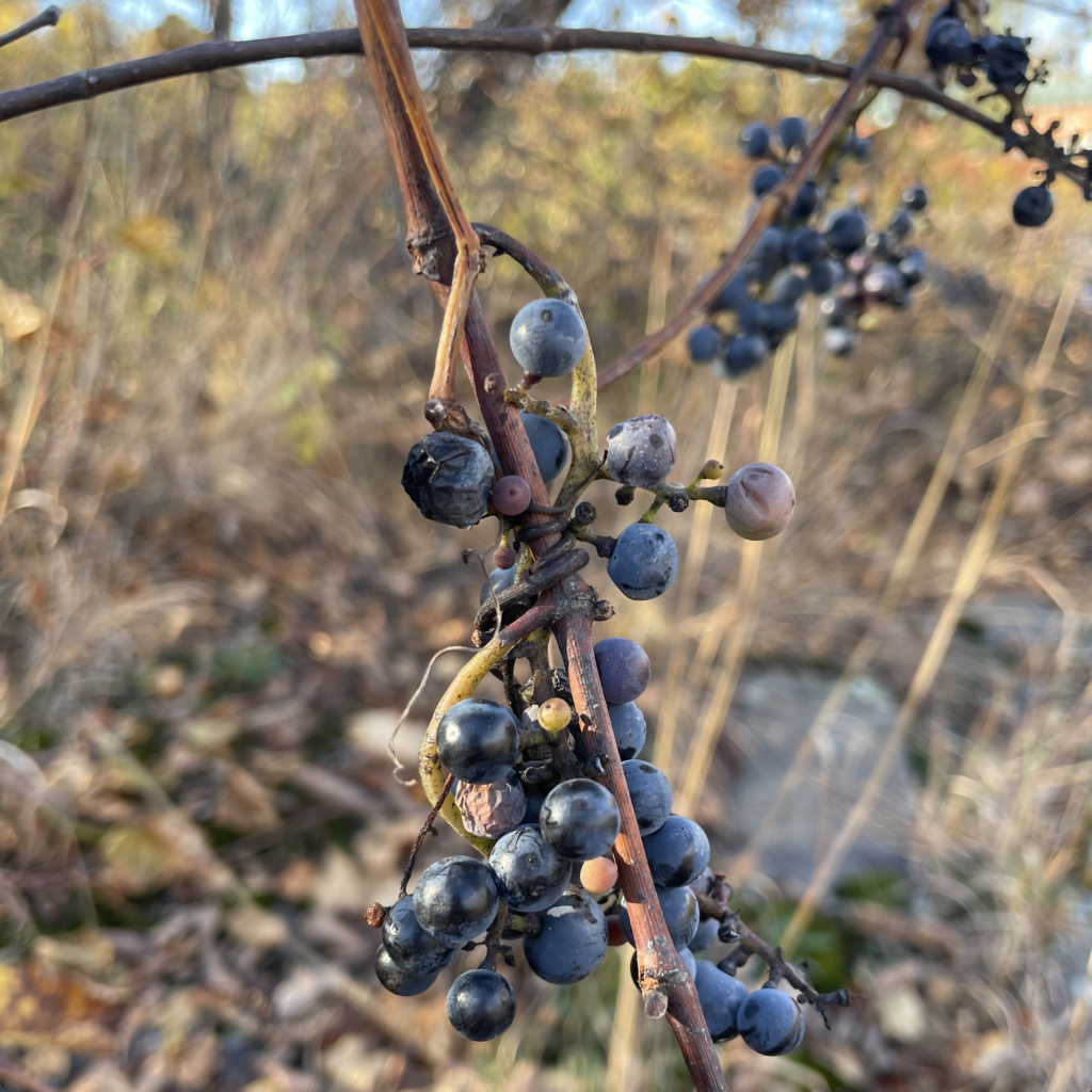
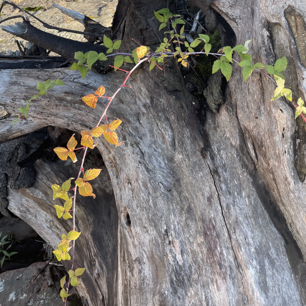
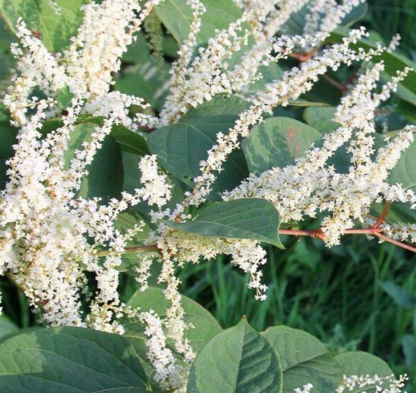
woody plant species


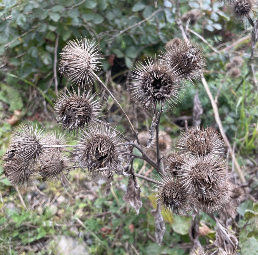
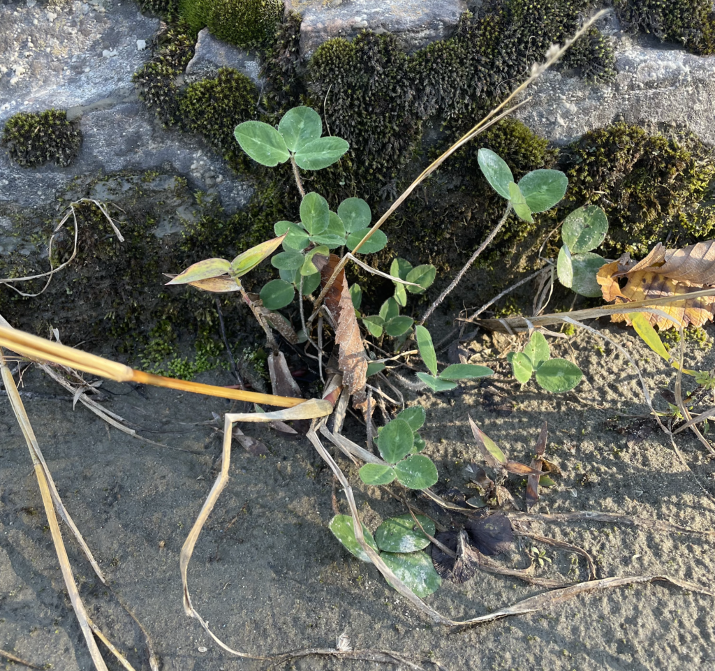
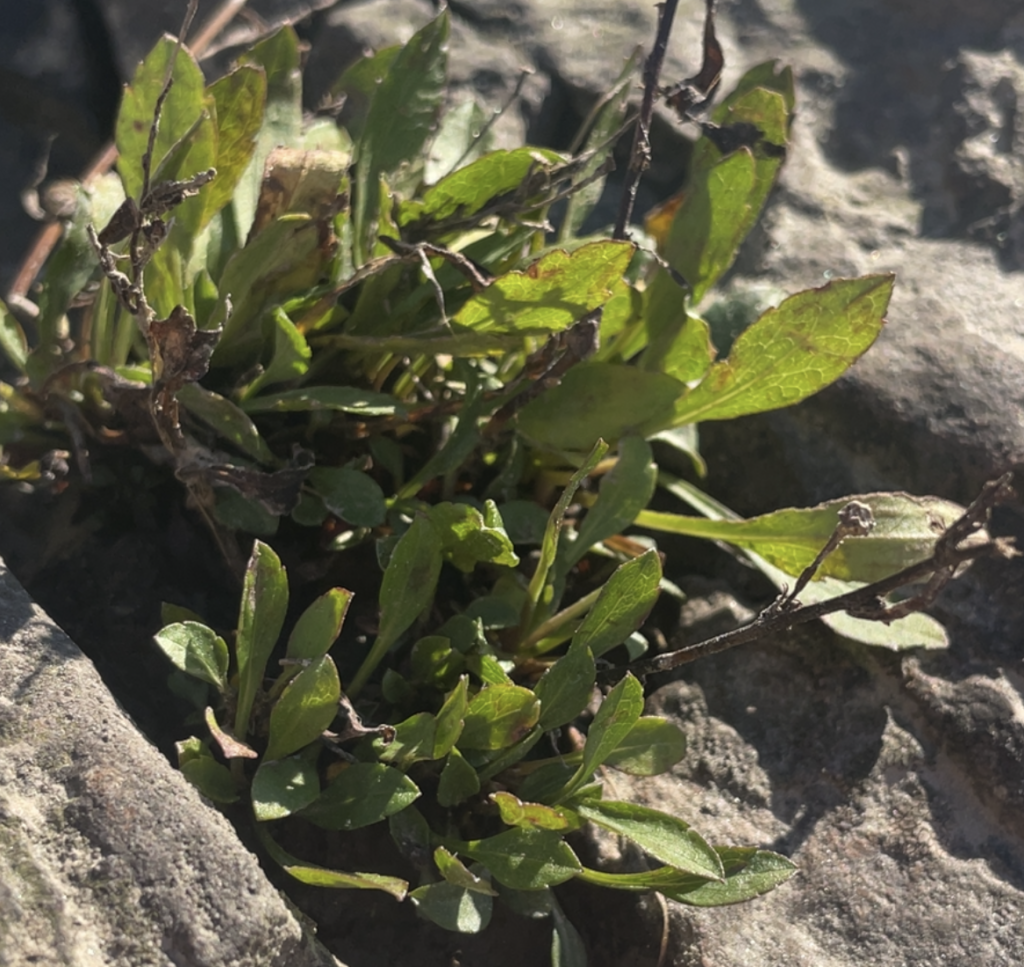
ferns and ground cover

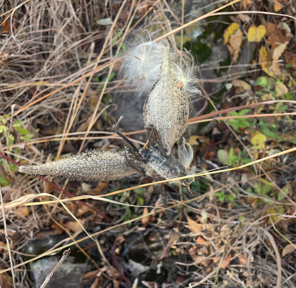
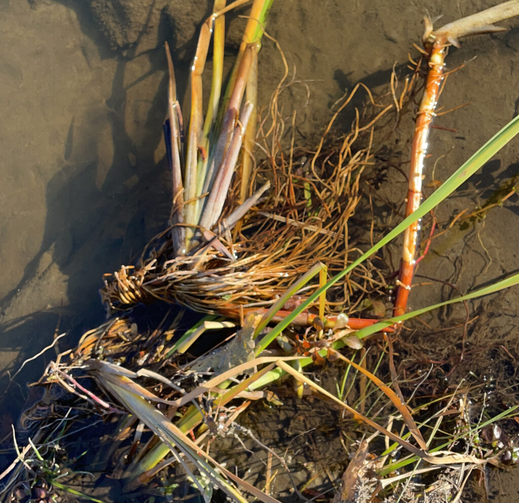
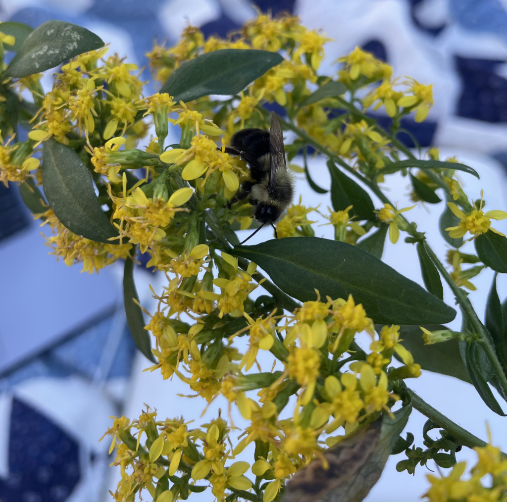
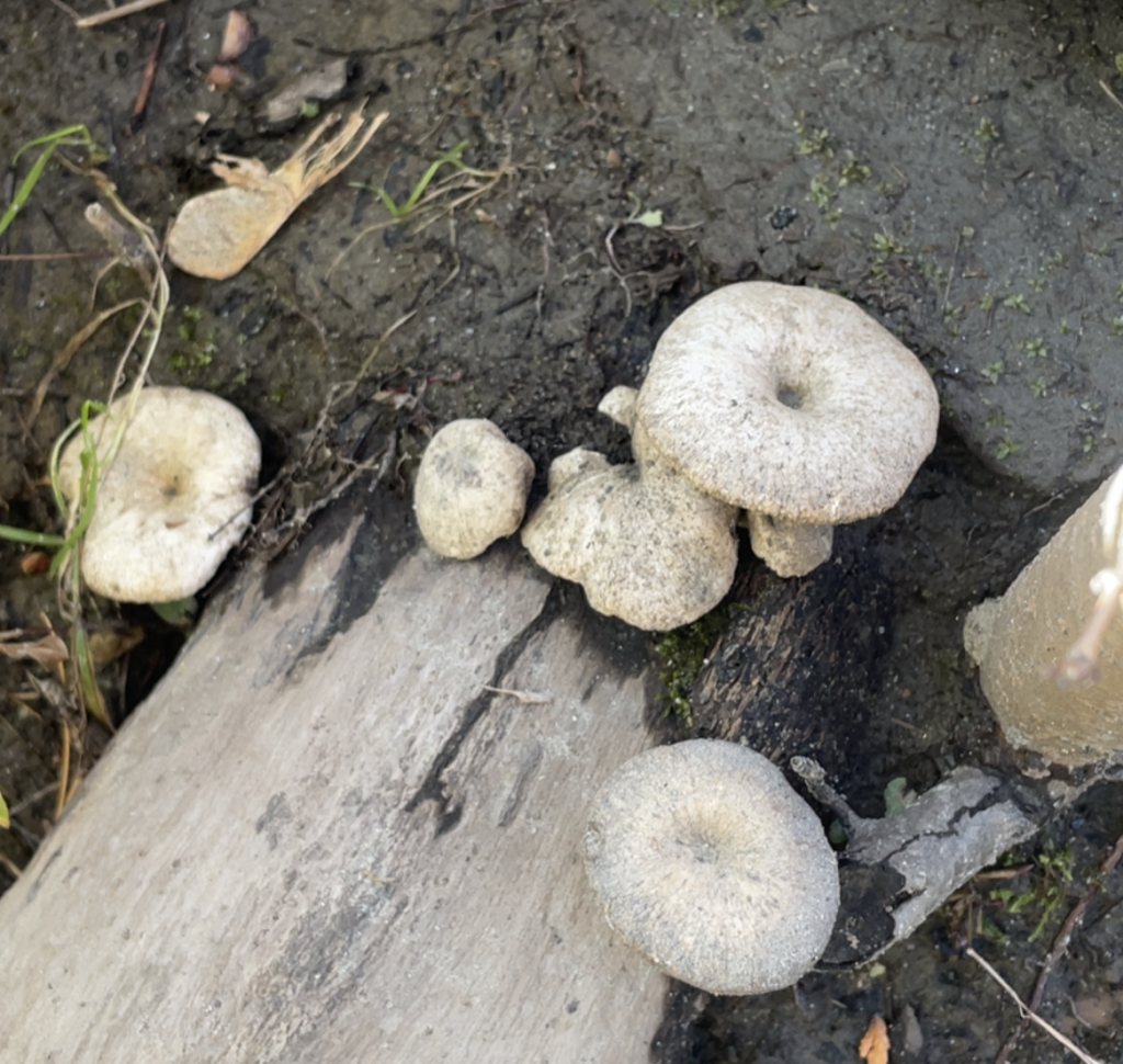
other