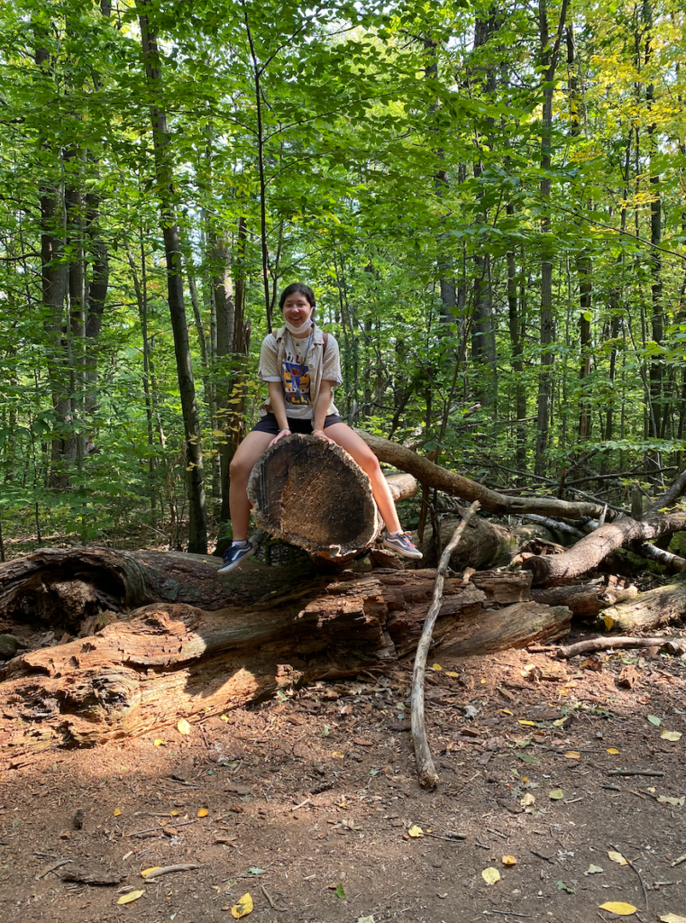
From my observations and from the posters around the trailhead, it seems as though East Woods was fairly preserved through history, and was not cleared as much of Vermont was in early settlement. One of the reasons I make this conclusion is the fact that there are many old and dead or dying trees in the area around my spot, as well as further down the trail. Also, the past of Champlain Sea has left the topography of East Woods to be highly varied, with little flat ground. Much of the forest floor is mounds and valleys, and you can almost see where water flowed before the development of the small Potash Brook. The past is also indicated by the very sandy soil.
Potash Brook is associated with a large watershed that involves many points of pollution, such as highways, malls, and sites of agriculture. Luckily, the preservation of East Woods has allowed a sort of riparian buffer, decreasing the point to which the brook could be compromised (though it is considered a compromised water body).
In 1898, there were plans to build a railroad from Burlington to a nearby farming community (Hinesburg). This railroad would go through East Woods. This plan was never completed, however you can still see remnants of the timber trestle and path created for the rails. UVM took ownership of the land in 1949.
In building Interstate I-89 East Woods was unfortunately reduced from 90 to 40 acres in 1962. It’s interesting to compare East Woods to Centennial Woods, as Centennial Woods is a newer area. It is as if East Woods is a progressed version of Centennial.


