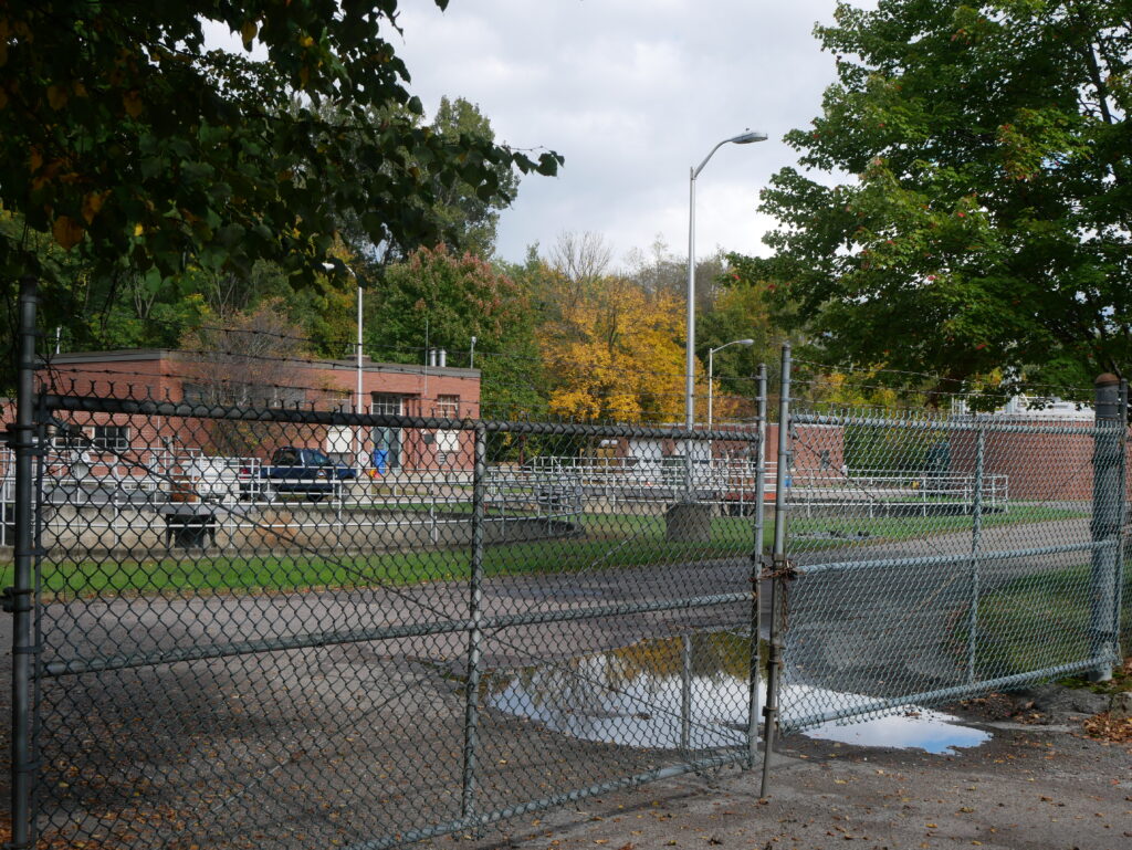
Derway Island Nature Preserve is a 148-acre plot of protected land, bordered by the Winooski River. The preserve can be accessed by a trail head that begins on North Ave, which is neighbored by the Burlington North Water Treatment Plant.
I first discovered the natural area earlier in the semester when I was biking to Colchester along the bike path with a friend. We saw people walking along the shoreline of the river from the bridge that spans the mouth of the Winooski river. When I was assigned this project I knew I had to find out how to get to the trail we had seen.
Getting to the trail head was a 30 min bike ride from campus, to the waterfront, and then along the bike path. I went out on Sunday afternoon around 12pm. The temperature was 57 degrees F, but when the sun was out it felt much hotter. It was partly cloudy and there was a slight breeze. It was an incredibly clear day, so I could see the detailing of the Adirondack Mountains across the like as I travelled along the bike path. The bike path was packed with people, most likely due to the nice weather. And I could not help noticing how much leaves had already changed color.
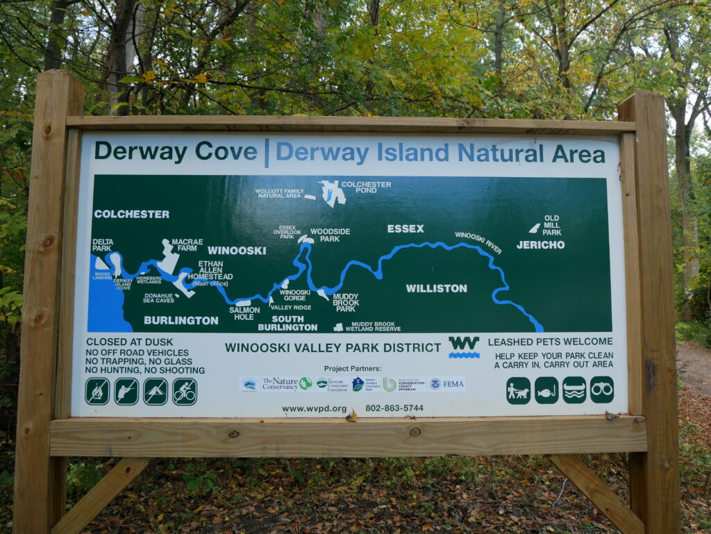
At the opening of the trail head there is a map of the Nature Preserve.
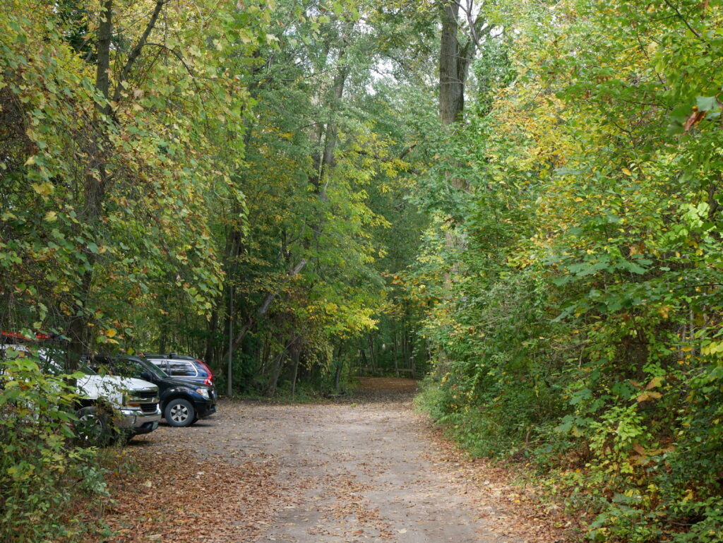
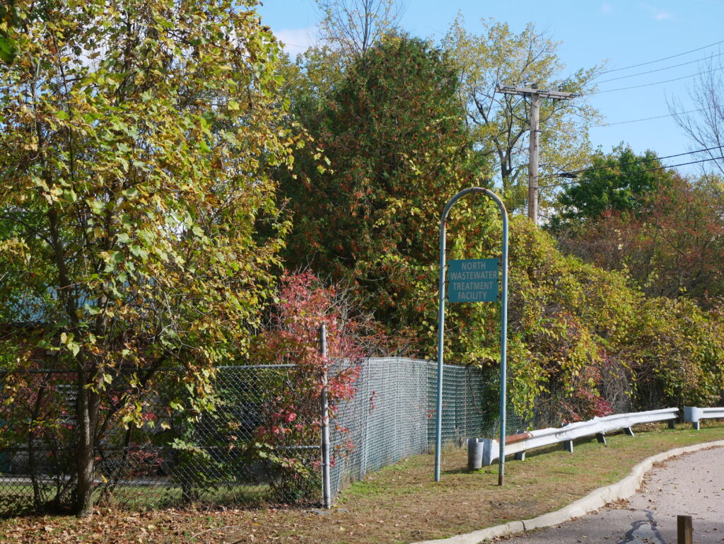
Further down the gravel road is a small parking lot, past that point only foot traffic is allowed. The parking lot is situated across from the Water Treatment Plant next door, divided by an overgrown fence.
Along the parking lot and the rest of the trail I noticed a lot of signage.
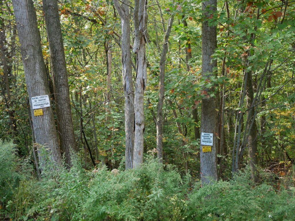
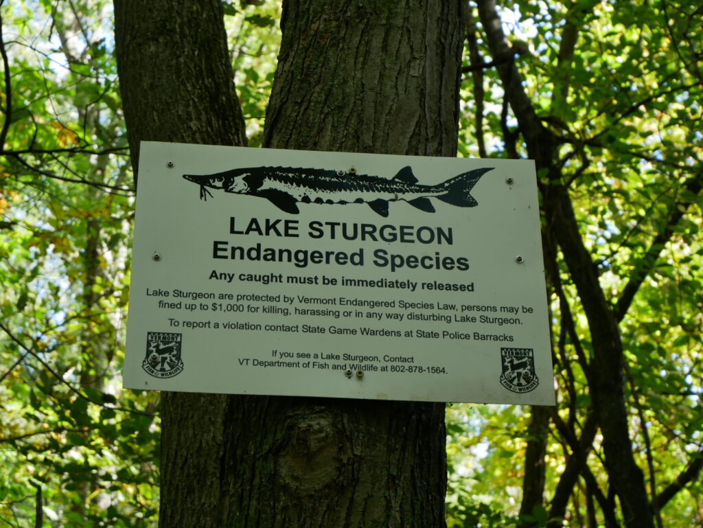
This amount of signage at first glance led me to the conclusion that this is I highly trafficked trail.
At the opening of the trail there is a dense concentration of understory and overstory vegetation. There is a Boxelder slanting over the opening of the trail. Ferns are the main spices in the understory, along with some small green ash. The overstory is comprised of Paper birch, Red Maple, and larger green ash trees. As you walk down the trail American Beech starts popping up.
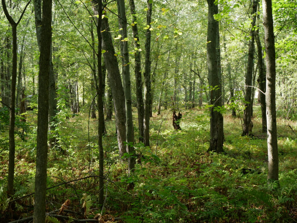
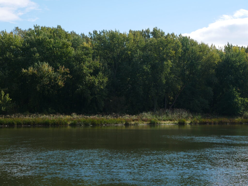
About 5 minutes down the trail it bears left to follow the path of the Winooski river. Here there is a lot of understory vegetation. There is a short drop to the right of the trail, here long grasses populate the soft ground. To the left of the trail Barberry becomes a huge component of the understory. Another shift is that Norway maples are introduced into the overstory.
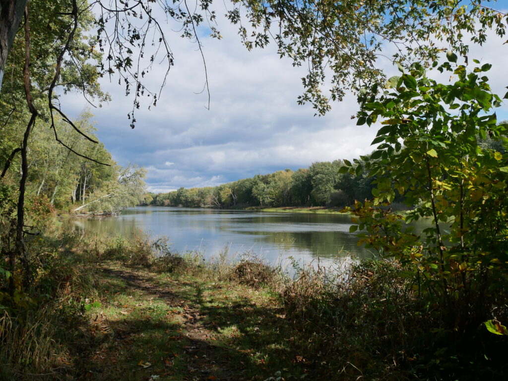
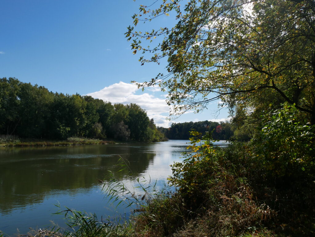
After observing the composition of the vegetation along the river, I walked down to the edge of the water. I saw a few frogs in the grasses, and there was a loud humming from insects. The sand at the water’s edge felt like memory foam and was still a warmer temperature. I noticed the same when I felt the water temperature, it is still warm despite the overall cooling temperatures in Vermont recently. This is because water can absorb energy to stabilize temperatures. This stabilization is keeping the Derway natural area around the river warm, this must be why the trees her have not been changing color, as opposed to what I was observing on the bike path.
My first journey to Derway Nature Trail was a huge success. I love the area and I am excited to get to know it better. I’m interested to observe how the river effects the phenology of the area. I am also interested to explore the aspects of the Water Treatment Plant and learn how it effects the surrounding ecosystems.
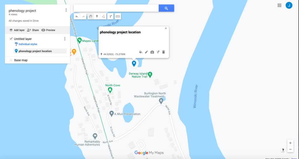
Google Map Link: https://www.google.com/maps/d/u/0/edit?mid=1Pm15ySo-Zv2AsNq5ajLk6mHd5H7UBJ7Y&usp=sharing