
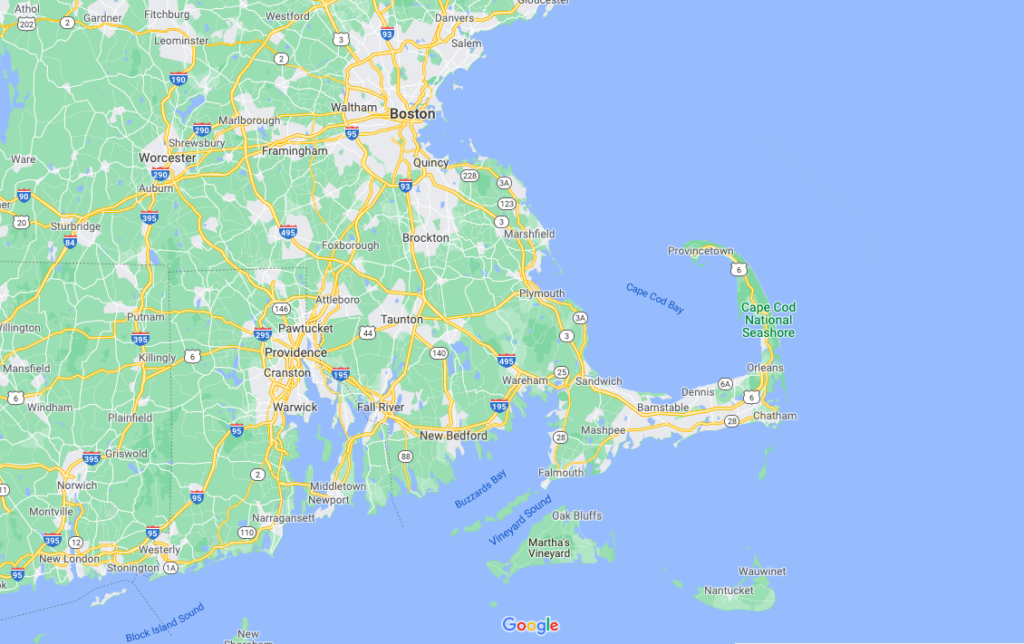
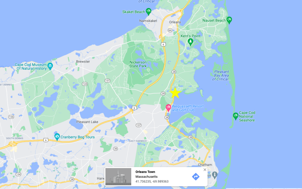
HAPPY HOLIDAYS COOL CATS AND KITTENS! In this edition, I am writing to you from Cape Cod, MA. I am fortunate to have family living in Orleans on the elbow of Cape Cods that affords me the opportunity to go visit the beautiful shores of the coast. The maps below can be used to help orient where I was in relation to Boston and the rest of Massachusetts.
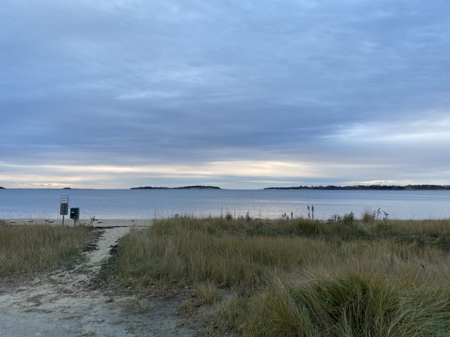
My phenology spot was on the shore of Pleasant Bay, which is almost completely enclosed by land/sandbars. This means that the conditions on the bay are much more mellow and can support a variety of smaller prey while protecting them from harsh conditions at sea. I was situated on a part of the beach that was private, which is indicative of the attitude towards land use on the Cape. Most, if not all, of Cape Cod’s land is privately owned and has been avidly developed as a popular vacation and retirement destination. Highly treasured real-estate spots tend to be amid the most natural beauty, such as waterfront locations. As an easily accessible location with many bays and a history of human traveling, it is likely that many invasive species have been brought onto the cape. Landscaping, a popular undertaking for cape homeowners, is another reason why many invasive species might be present.
Some tree species that came right up to the edge of the beach were Yellow Birch, Norway Spruce, Red Oak, Norway Maple, and Eastern White Pine. A swamp of cattails buffered the forest and the beach, but most of the ground was sandy and was deposited as glacial till as the glacier moved over this last bit of land before receding into the ocean. This is very similar to my Burlington phenology place, which is also on a beachy area at the confluence between Potash Brook and Lake Champlain. There were commonalities in the presence of Eastern White Pine, which makes sense seeing that this is an acidic and well-drained habitat. Another phenological difference was that most of the trees were still hanging onto their leaves here in comparison to the Vermont forests further north which have mostly shed their leaves by now. See some pictures below for more details!
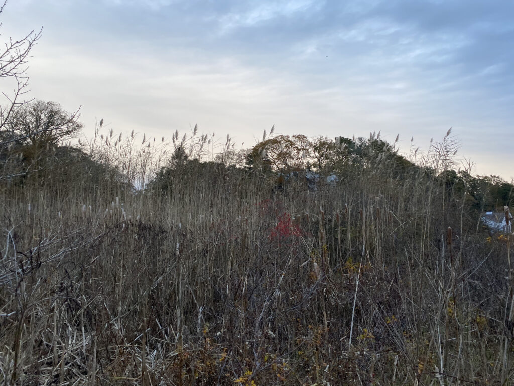
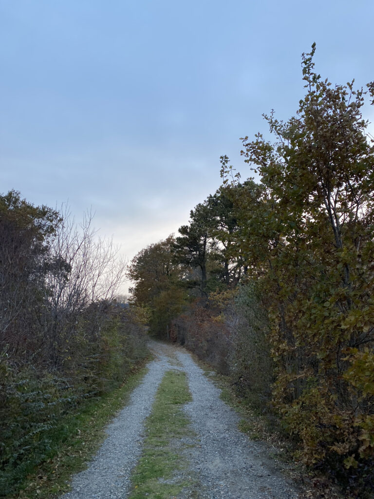
Swamp buffer between forested neighborhood and beach (above). Path lined with oak trees leading from the road to the beach (left).