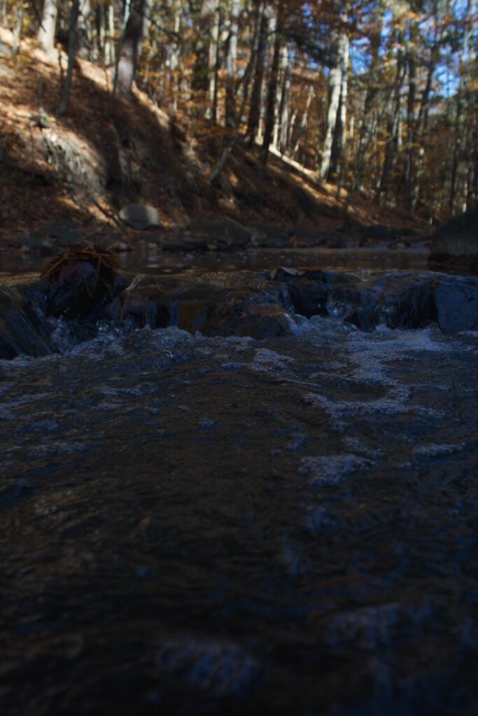
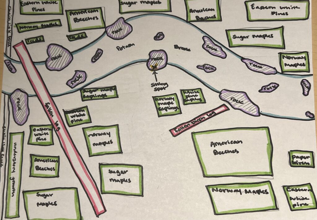
While I sat in the center of my site at Potash Brook, I felt at peace while observing my surroundings. I could hear the brook babbling past me, smell the bread wafting from Klinger’s Bakery nearby, taste the crispness of the autumn air, feel the cold rock that I was sitting on beneath me, and see the different types of trees and vegetation that surrounded me. I particularly enjoy visiting my site because of how it engages all of my senses. My 15 minutes turned into half an hour because of how peaceful this area is. It is really surprising to me that such a peaceful place could exist in such close proximity to a busy, urban area. Below is an image of an aerial map of my sitting space and the area around me.
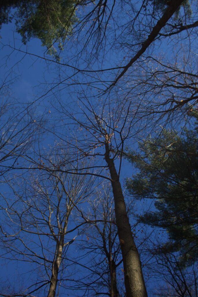
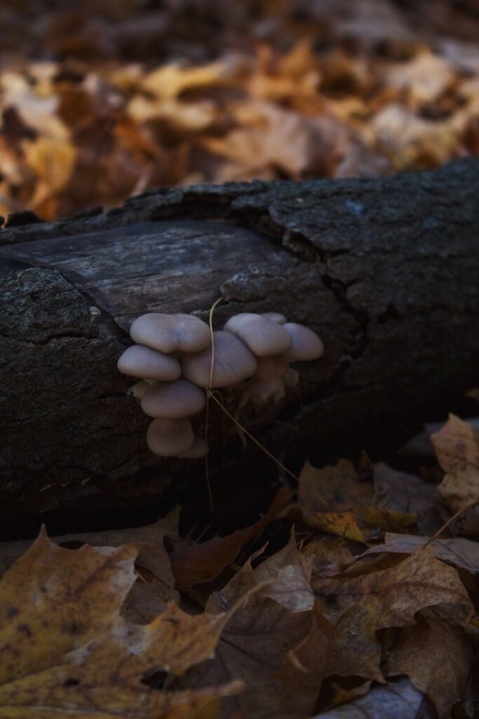
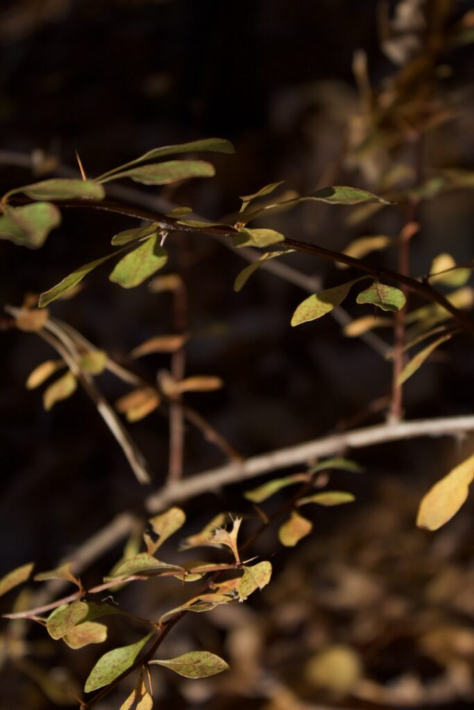
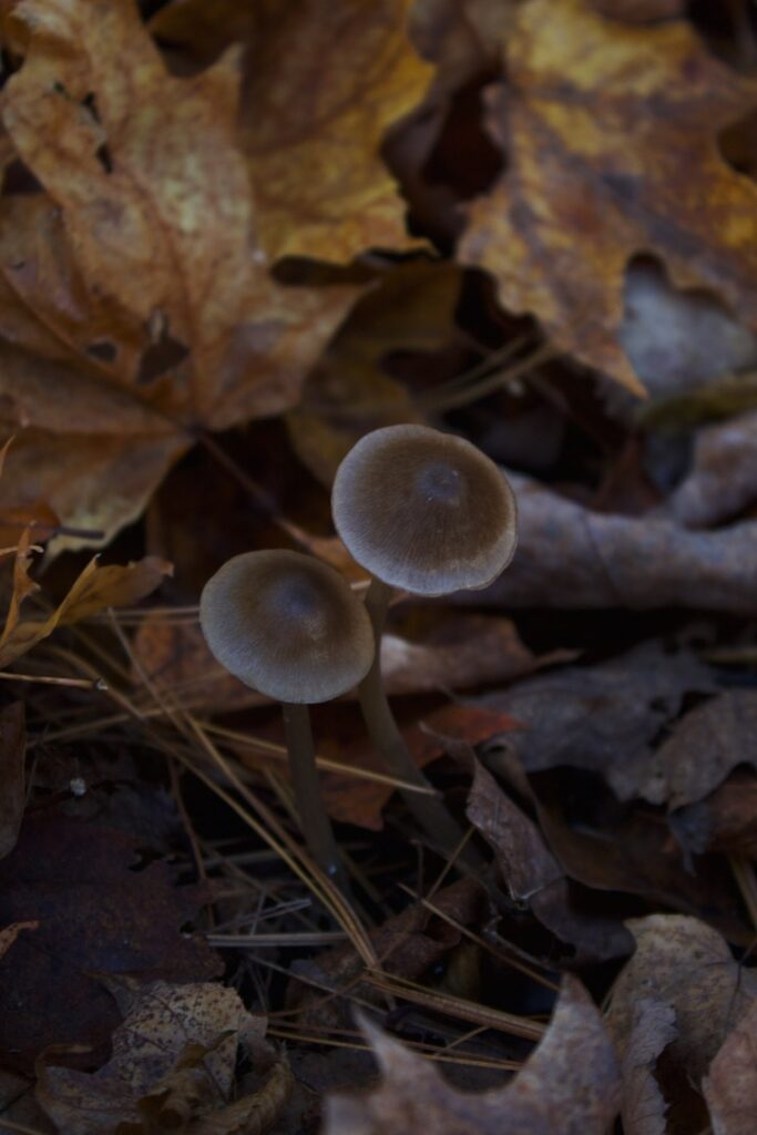
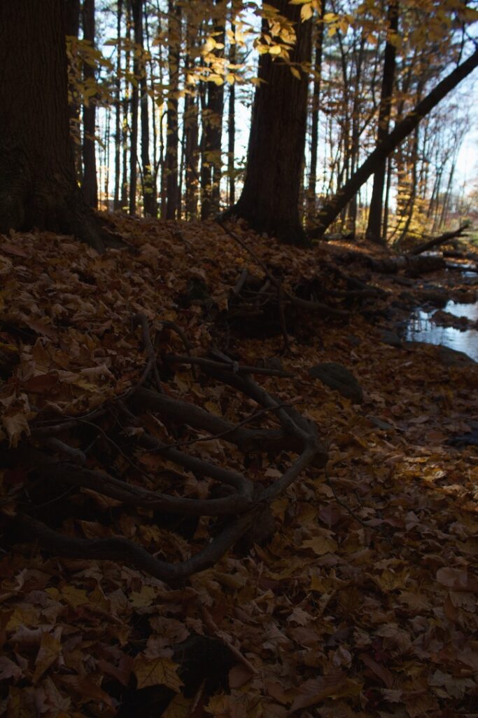
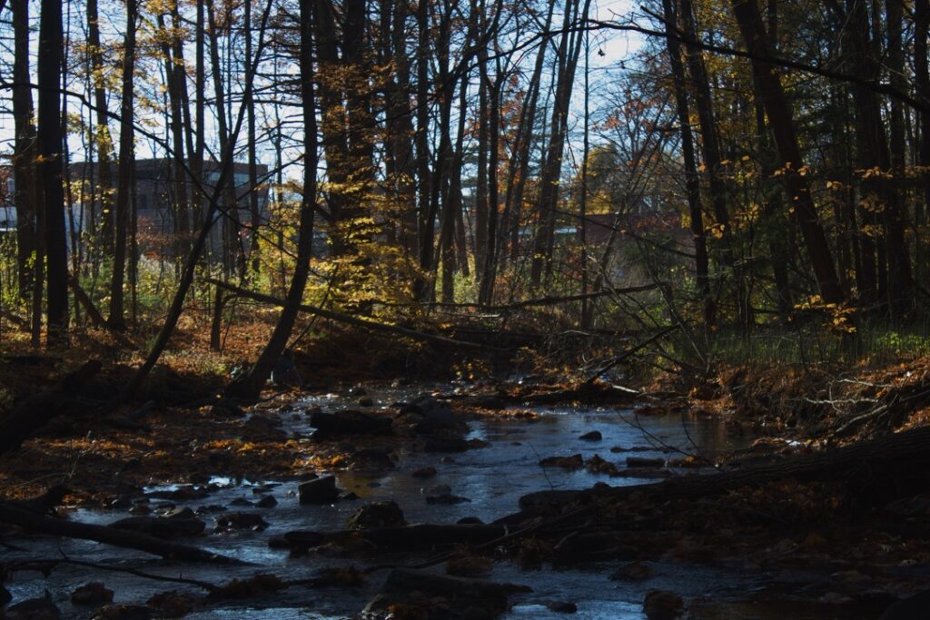
Since my last visit to Potash just three weeks ago, the area underwent many changes. Vermont is currently in the time of year between fall and winter, commonly referred to as ‘Stick Season.’ This is evident because of the physical changes the environment went through that I observed. The last time I visited my site, I was able to see the trail and the ground beneath my feet. This time I visited, however, the fallen fall foliage covered the forest floor in a thick blanket. I could no longer see the trail that leads into my site from the parking lots. I also noticed that the shoreline of the brook was no longer visible because of the fallen leaves. The forest itself was considerably less dense than it was previously. On my first visit, I was not able to see the buildings the brook ran behind, however, because most of the leaves had fallen, I was able to see through the over-story to the parking lot and buildings. I also noticed that the water did not feel nearly as cold as it did on my first visit which I found interesting. It was really shocking to notice just how much the area had changed within the span of weeks.