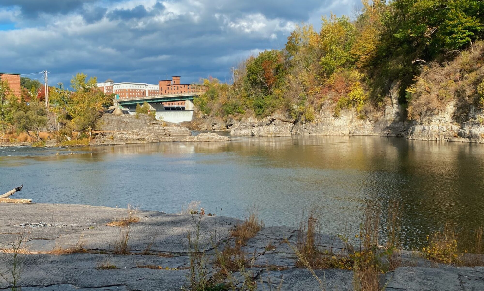
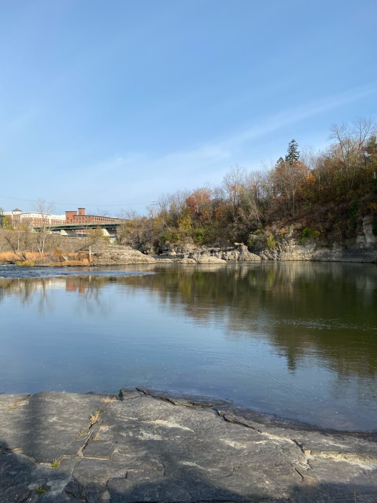
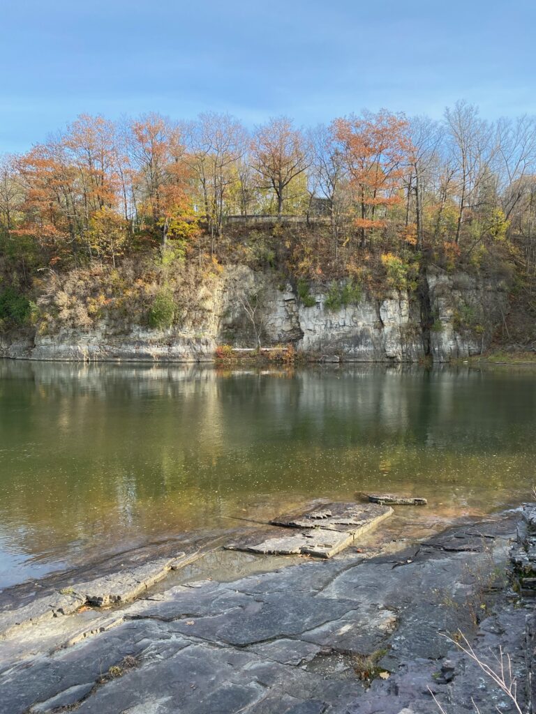
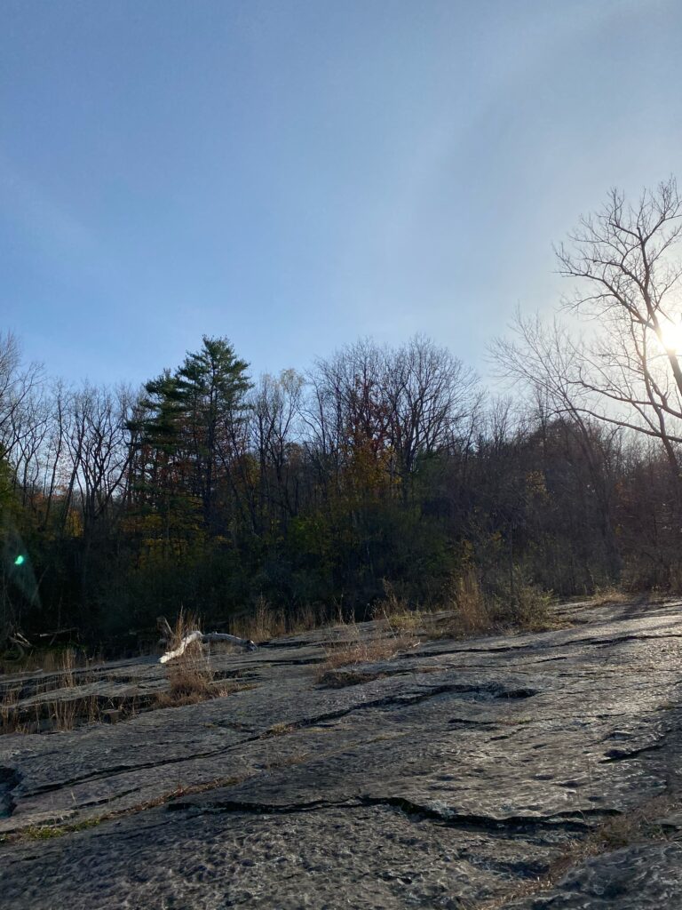
On an unseasonably warm fall day, I made my third trip to the Salmon Hole on the Winooski. Despite this, it seems the colder weather of the past month has finally gotten a hold of Salmon Hole, as the leaves were gone from almost all of the trees. This is a big change compared to my last visit where many of the trees along the bank were still holding on to their foliage. The warm weather drew in many visitors to the usually empty spot. I saw many people walking along the trail down to the river, sitting near the parking lot at the overlook, and relaxing on the rocks.
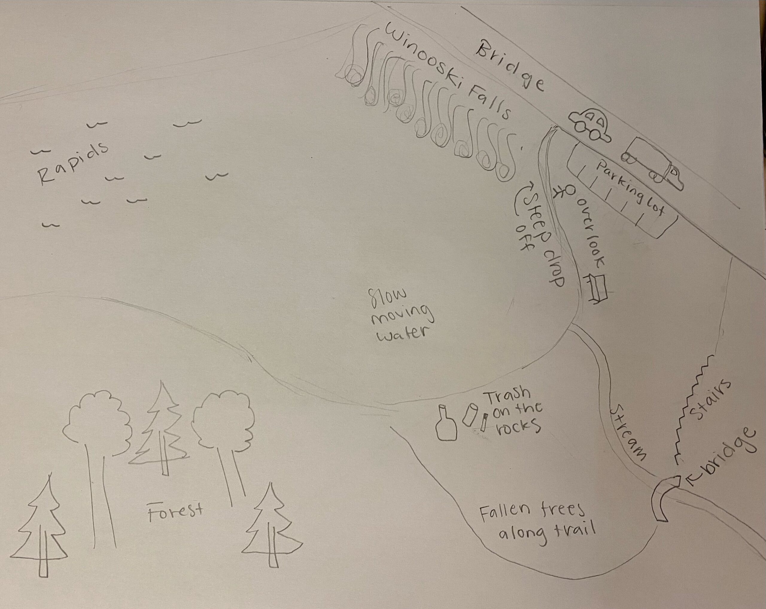
The particular motivation for this week’s visit is to observe some processes and aspects of the area to create an event map. These types of maps use words, drawings, and symbols to record a set of experiences in the location. In my event map below, I took note of the different parts of this section of the river, changes in the riverside trial, and human marks left on the environment like trash and noise pollution from the cars. Going to my location with creating this event map in mind helped me notice things I might have missed before, such as the stream that the trail crosses and the abundance of fallen trees in the forest.
