Late October – Birds-eye Overview and Seasonal Changes

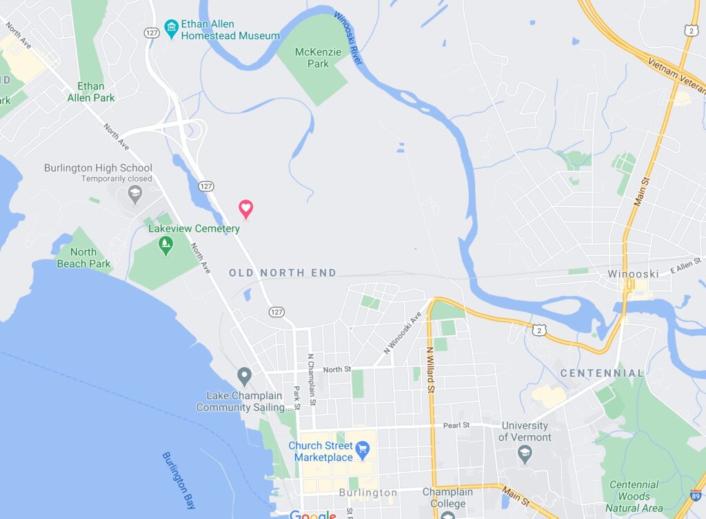
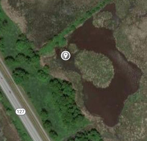
Attached below is a birds-eye overview map of my phenology site. The different tree and plant species are labeled with corresponding colors, and the area is broken down into three main areas: the marsh itself (in blue), the rod plants growing on the outskirts of the water (in orange), and the grassy land primarily dominated by long grasses and scattered trees and woody shrubs (yellow). Also shown in the map are the components of my site that have been impacted by humans, such as the barbed-wire fence separating the grassy land section from the rod plants section as well as the trampled grass forming a sort of path through the site.

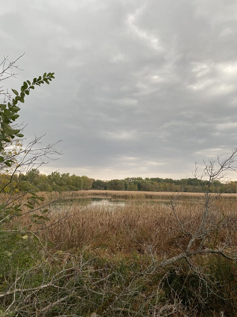
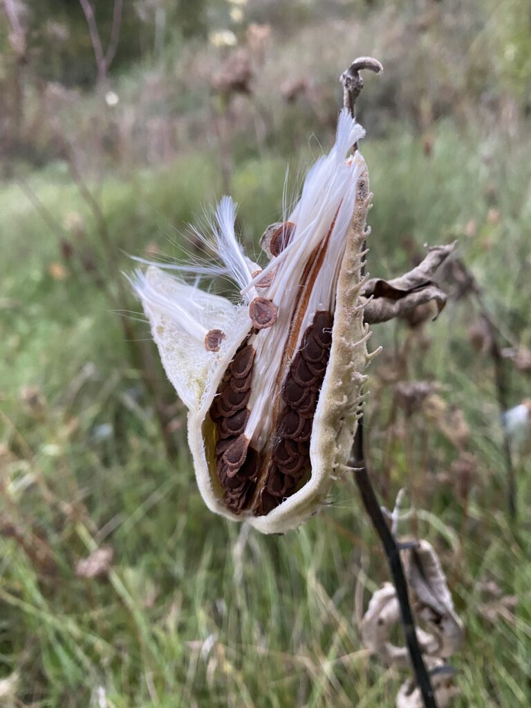
The biggest changes in vegetation since my last visit are relatively typical and expected for this time of year. The green ash trees had lost the majority of their remaining leaves. The buckthorn shrubs still had the majority of their leaves, as can be expected due to their tendency to shed their leaves later in the fall than most leafy plants. Most of the reeds near the marsh looked relatively similar in appearance, although most of the reeds and grassy plants had shifted from darker green colors to more diluted brown colors. The majority of the milkweeds at my site had shed their seeds and were empty shells.

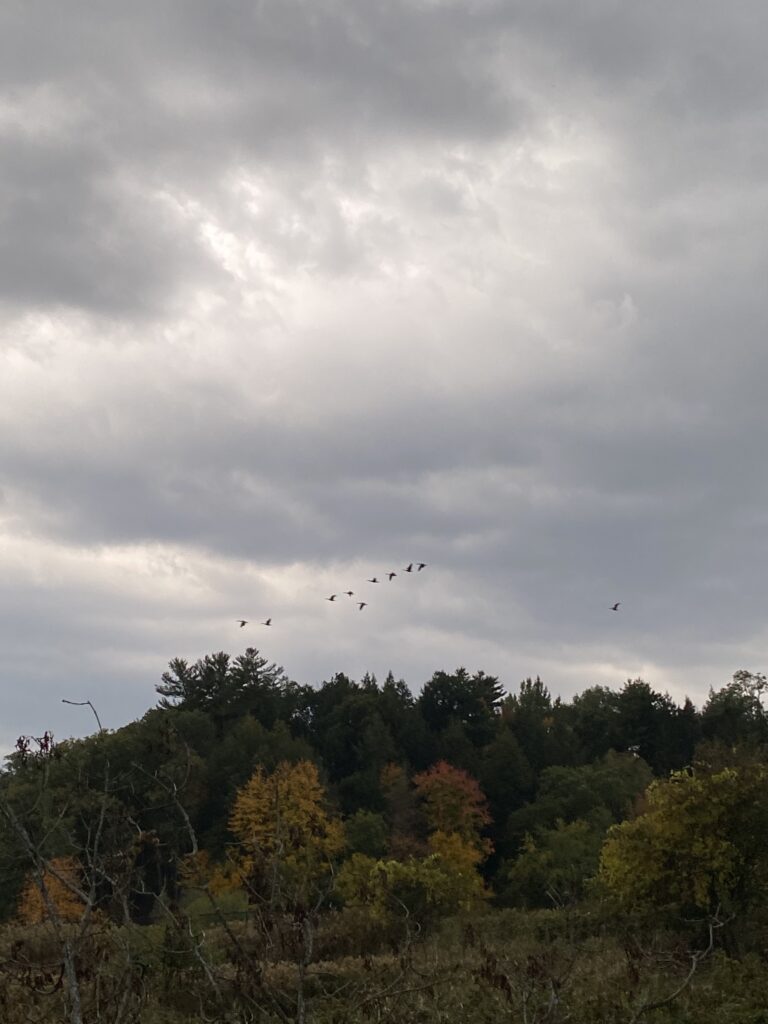
The biggest evidence of animals using my site as habitat is the continuous presence of birds at the site. The presence of the large snag in the center of my site seems to be an ideal habitat for birds, insects, and other small animals. Small birds were seen again sitting on the snag and darting down into the reed plants. I couldn’t capture any photos of the birds themselves, but an image of the snag is attached below. There were also berries strung along the snag that I couldn’t identify, but they could potentially act as a food source for nearby birds (a picture is also attached below). Another flock of geese was spotted flying over the site, as can be seen in image four. Although they didn’t land at the site, my phenology location could potentially be a stopover site for geese during migration due to the presence of the marsh and nearby food sources (grasses and seeds). Because of the barbed wire fence, I couldn’t get close enough to the marsh to look for aquatic life or macroinvertebrates that could have been at the site.

Wetsel, E (2020). Untitled [drawing].
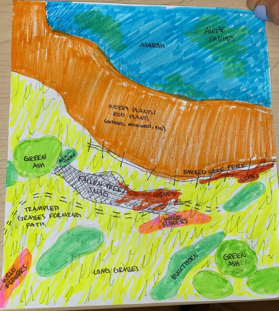
The birds-eye overview map of my phenology site, with the different plant species labeled with corresponding colors and the three main sections of the long grasses, rod plants, and marsh represented by yellow, orange, and blue.
Wetsel, E (2020). Untitled [photograph].
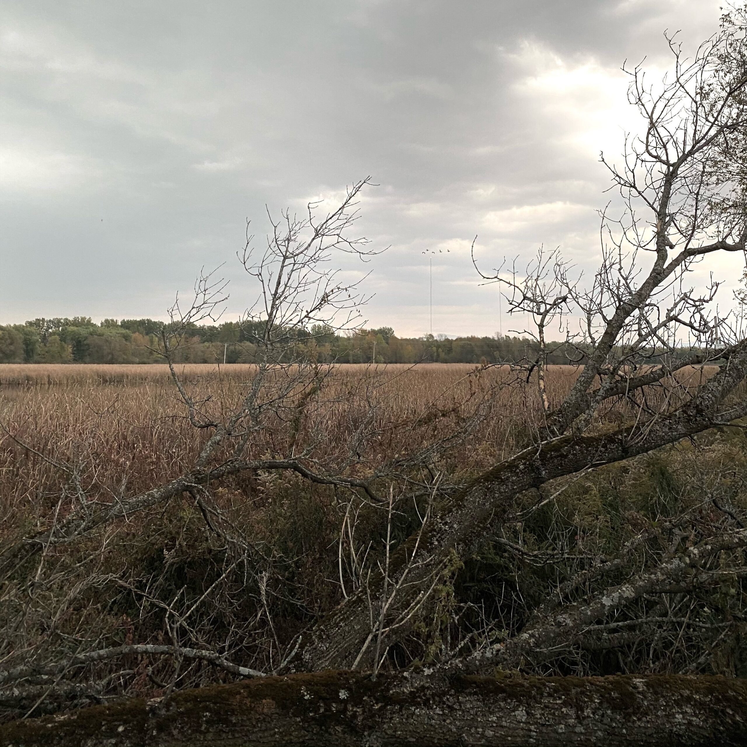
An image of the snag located at my site, acting as a potential habitat for nearby animals.
Wetsel, E (2020). Untitled [photograph].
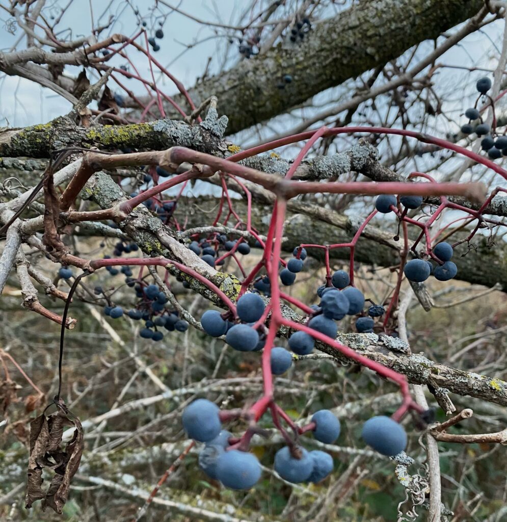
The unidentified berries found coiled around the snag. Depending on the species of plant, the fruit could potentially be a source of food for birds and other animals.
Wetsel, E (2020). Untitled [photograph].
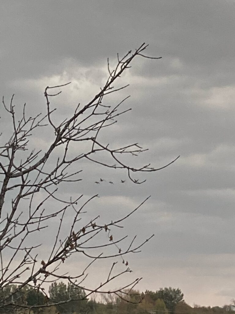
A flock of geese flying over the marsh behind the central green ash tree.

Site Introduction and Overview – October

My phenology site is located along the bike path on the way to the Ethan Allen Homestead (coordinates 44°29’43.1″N 73°13’27.3″W). Biking to my location from campus takes around 15 minutes and is relatively straightforward—you ride down North Prospect street, turn left on Bright, right on Oak, left on Louis, and then take the bike path down for around one mile. My site is a large and easily noticeable wetland to the left right off of the path.

The wetland itself is around 150,000 square feet, although my site hones in on the banks of a smaller section of open water thats around 15,000 square feet. The water is mostly still, only moved occasionally by the wind. Multiple dark green patches of algae were present on the surface of the water, indicating potential algal blooms as a result of the still water and potential pollutants entering the lake. The area itself is largely open and dominated by long grasses and weedy plants, such as cattails, bullrushes, milkweed, and Joe Pye Weed. The only trees present were green ash trees, and there were around a dozen scattered across the area. All of the green ashes were large, varying between 30 and 50 feet, indicating that they are all relatively old and have been present at the site for a while. Common buckthorn also dominated the area, largely growing near or under the green ashes, and were also relatively large in size and well developed (size varied between 3 to 8 feet).

Multiple flocks of geese flew overhead while I was at the site, indicating the migration currently occurring as bird species move south. A few small sparrows were also spotted in the green ashes. The milkweeds spotted had mostly already opened to disperse seeds, although around 20% were either still closed or beginning to open. Most cattails were still closed, although a few spikes had begun to open as well. As October is the month in which most seeds are dispersed, this behavior is characteristic to the fall and expected for the area.

The weather while observing my area was around 65 degrees, overcast, and rainy. A thunderstorm began while I was at the site, potentially impacting the animal species in the area.

Google Maps (n.d.). [map]
My site, indicated by the favorited pink pin, on a map of the greater Burlington area.
Google Maps (n.d.). [map]
A closeup of the site, with the grey pin in the middle of the section of the wetland I observed.
Wetsel, E (2020). Untitled [photograph].
An overview of the site, with the marsh observed in the center.
Wetsel, E (2020). Untitled [photograph].
Geese flying overhead during migration.
Wetsel, E (2020). Untitled [photograph].
Milkweed beginning to open for seed dispersal.