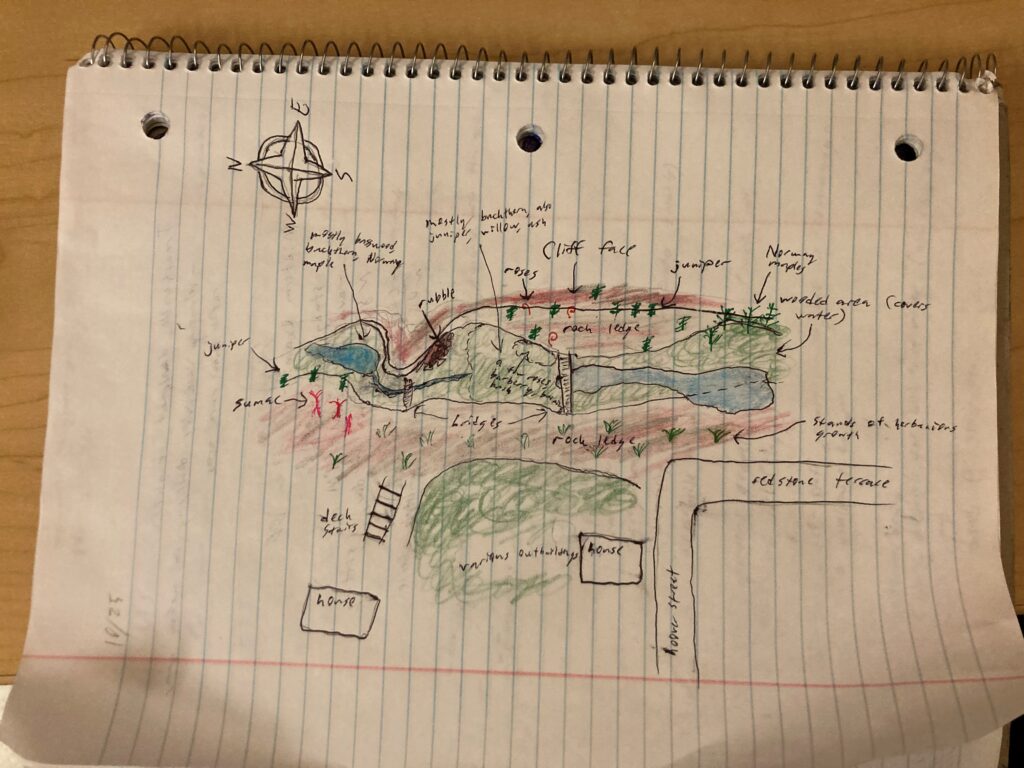
I drew a map of the quarry, with key points and landmarks labeled. The scale may be somewhat off, but I climbed to a high vantage point and cross referenced my sketch with Google Maps.
Today was around 45 degrees and overcast. The vegetation is largely similar to its state last week. The unidentified segmented plants growing on the rock west of the wooded area are completely brown and dry, as is most of the grass. Most of the Buckthorn still has its leaves, although on the south side of the southern footbridge its leaves are more sparse, and many have turned yellow and orange near the base of the cliff. Most of the yellow Basswood leaves from last week were gone. The burning bush has numerous red berries. I was able to identify the unknown coniferous tree at the base of the cliff from last week as Common juniper. The leaves of the Norway maples at the southern base of the cliff have turned bright orange. I found a small common juniper sapling that was entirely purple – I wonder what caused this. The sumac looks wilted and dead. Finally, I found a curious sapling that I don’t remember seeing before with a couple firm cherry-like berries.
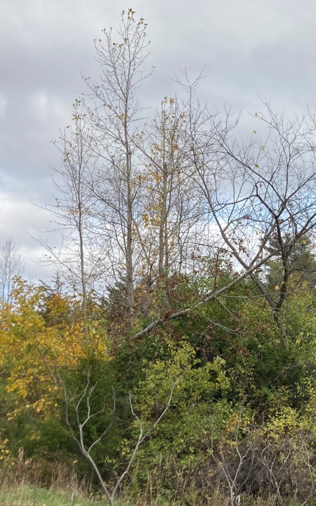
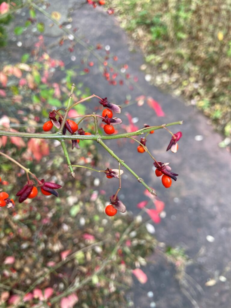
Basswood, without beautiful yellow leaves Burning bush berries
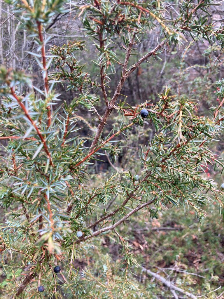
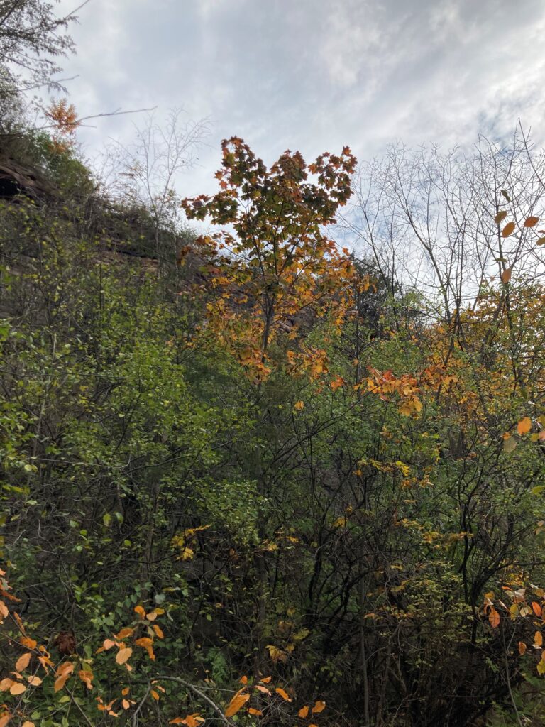
Common juniper (the berries look like blueberries) Norway maple with orange leaves
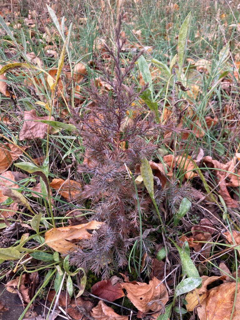
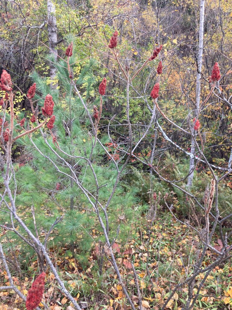
Purple Common juniper sapling, for some reason Wilty Sumac
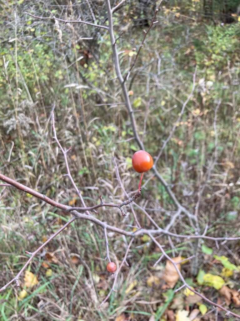
Plant with cherry-like berry – I have no idea what this is
I borrowed a soil pH kit, and I remembered to bring my water test strips, so I did a couple pH tests. I tested the water to the south of the southern footbridge and to the north of the northern footbridge. I was expecting it to be basic, as a result of the exposed bedrock (which I believe is Dolostone). However, it was around 6.5 in the southern spot and 6 in the northern spot. Many leaves have fallen to the bottom of the relatively shallow pools, and the water likely absorbed acidic tannin from them. I conducted 3 soil tests: one from the soil in the rubble pile, one from a patch of soil a few feet up the cliff, and one from the western edge of the wooded area near the southern footbridge. The first test yielded a pH of 7.5, which is not as basic as I thought it would be, given the amount of Dolostone around it. The second test yielded a pH of 7.8 and the third was 7.7. The soil I used in the first and 3rd tests was fairly wet (no dry soil was available in these spots). This may have meant the samples weren’t able to absorb as much indicator as they otherwise would have, resulting in a less vibrant color and less extreme test reading. Nonetheless, this confirms my hypothesis that the soil is fairly basic, which helps explain the prevalence of Junipers – they are of the same family as the Norther white cedars at Rock point, and are growing on the same Dolostone bedrock.
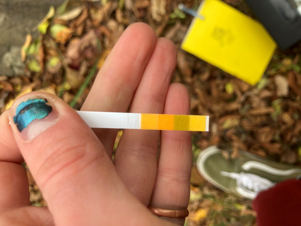
A pH test strip
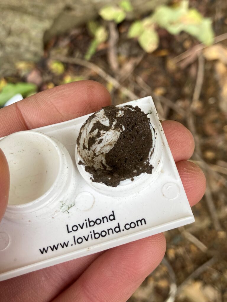
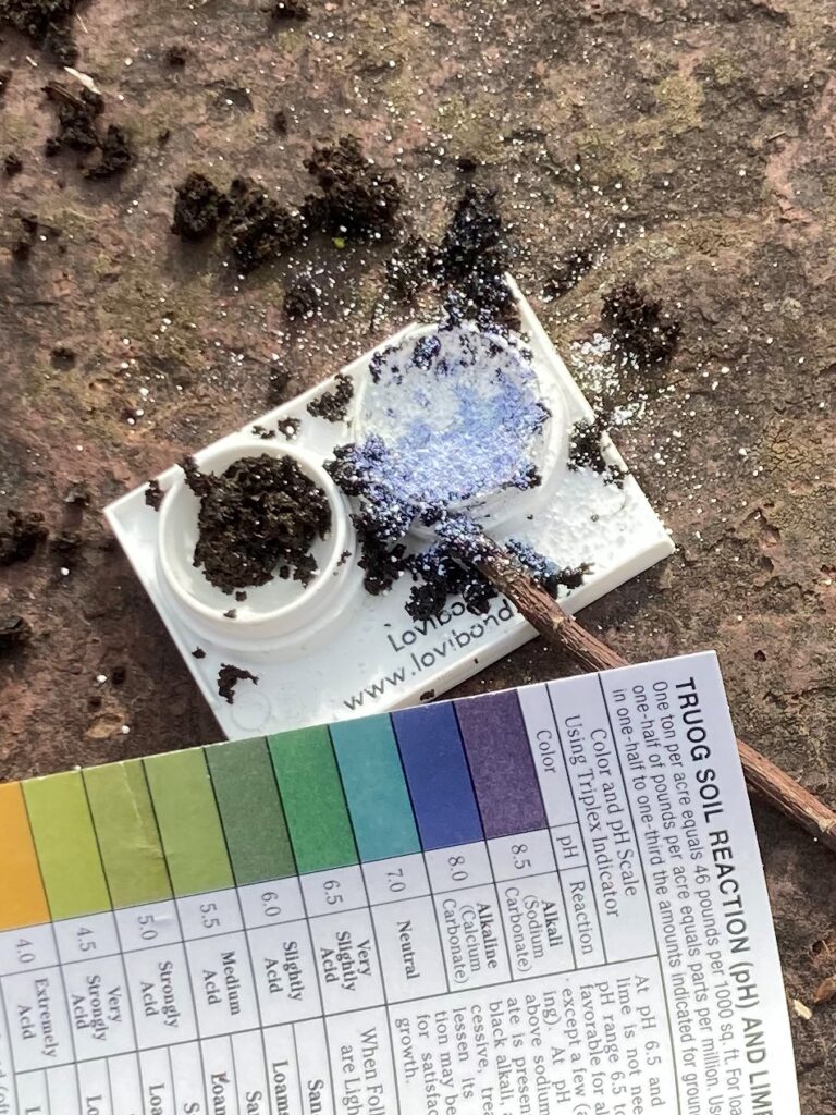
Conducting a soil test
All images: Walsh, E. J. (2020). Redstone Quarry [Digital photograph].