Feeds:
Posts
Comments

Goodbye For Now

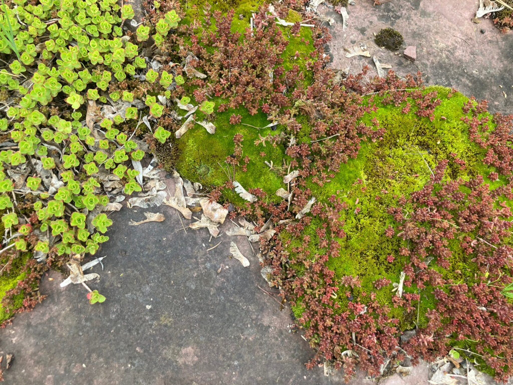
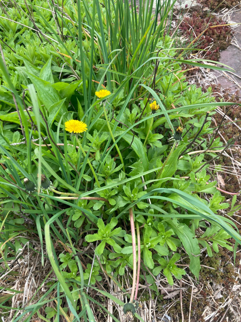
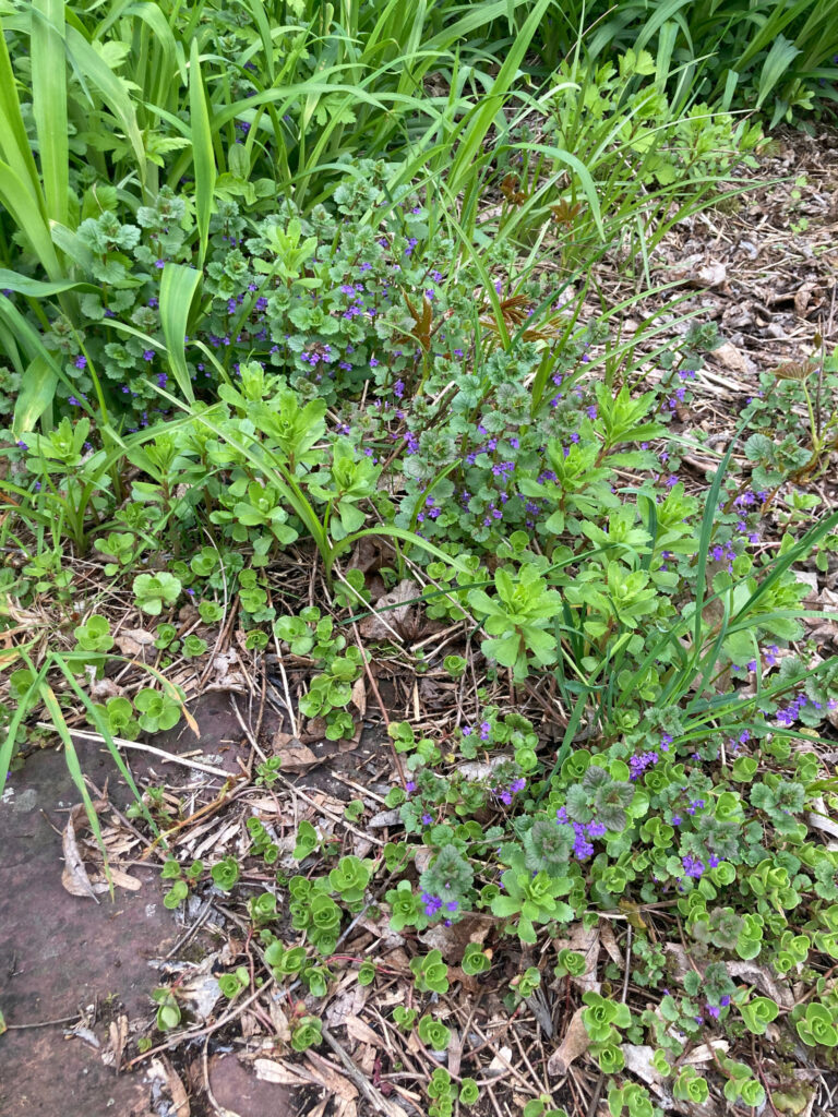
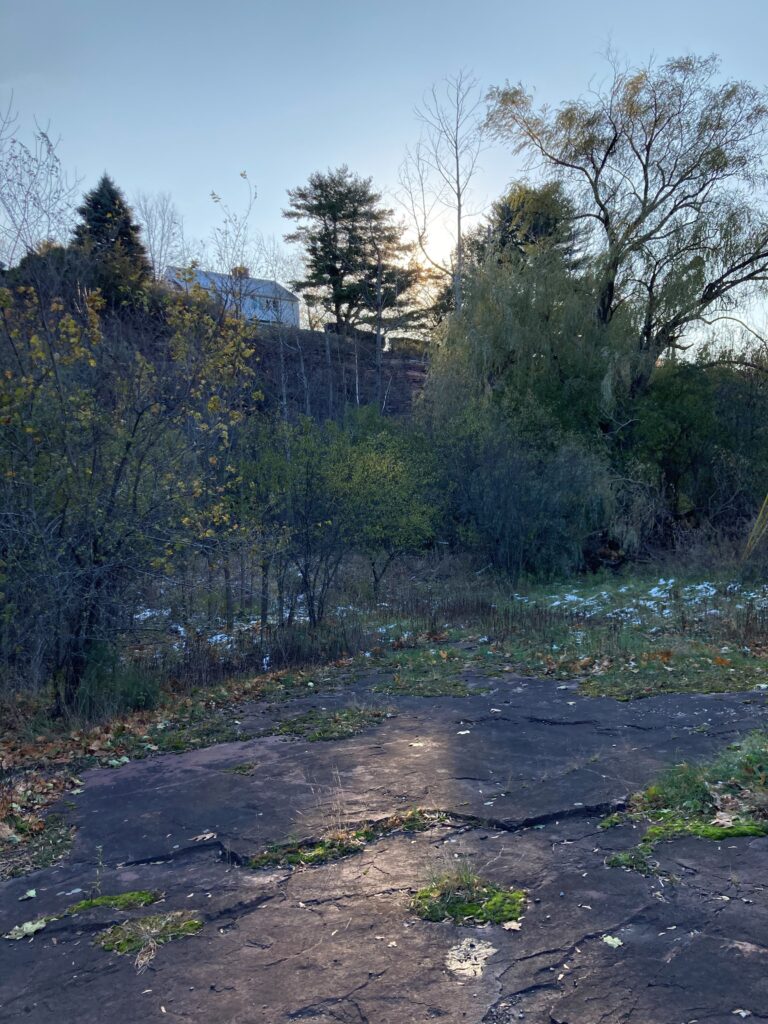
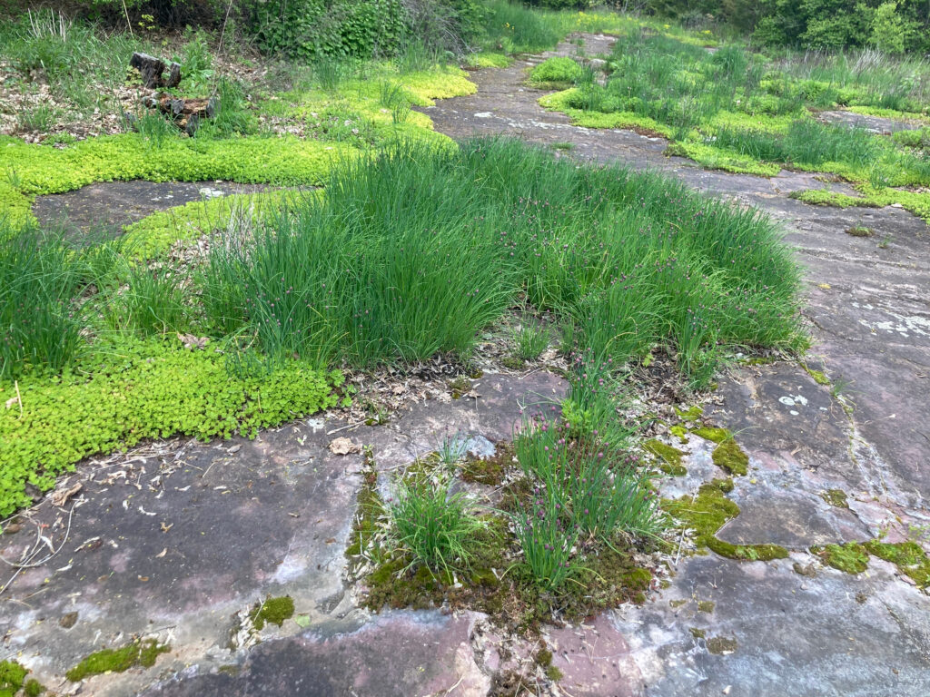
On a brisk afternoon in early May I biked to the quarry to make some final observations before the end of the semester. The chives that had begun sprouting at my last visit were out en mass, as was the stonecrop which seemed seems to thrive on the rocky surface. A few dandelions poked their flowers above the chives, but this unique environment seems to rob them of the adaptations that make them prolific invasives, and they were outnumbered by the purple flowers of ground ivy.

Bountiful chives                            Stonecrop

A few dandelions                        Lots of ground ivy

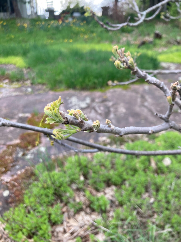
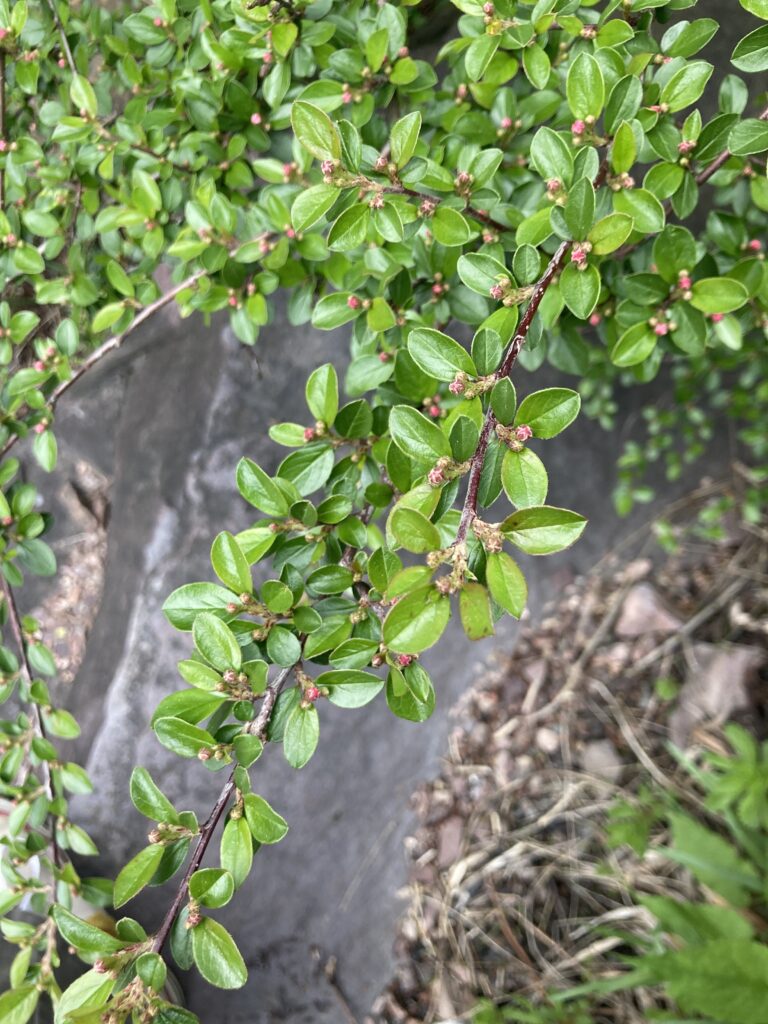
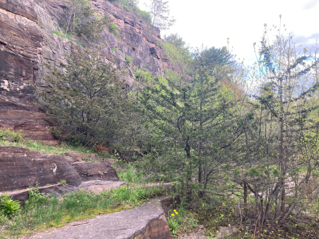
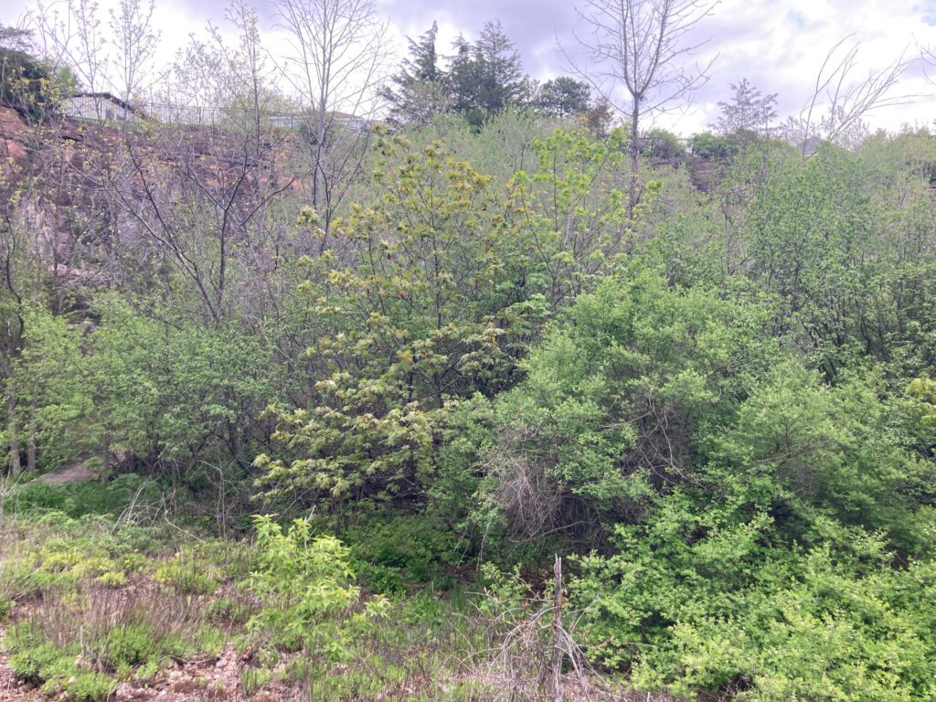
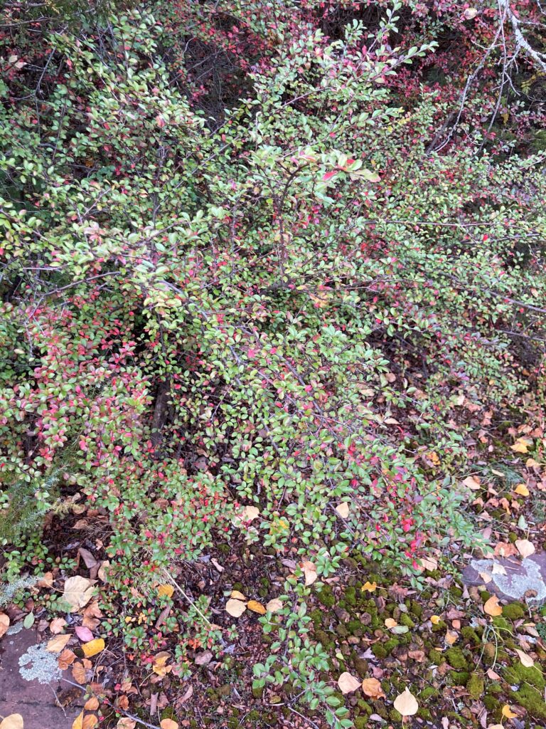
One small tree (possibly a hickory) was still in the process of leafing out, but the forested area and parts of the cliff were dense with the leaves of honeysuckle, maple, buckthorn, and cotoneaster. The juniper and cedar retained their leaves as well, but were looking somewhat brown and faded; for evergreens, springtime doesn’t seem to be the time of growth and renewal that we know it as.

Unknown tree leafing out       Cotoneaster

Evergreens after a long winter      Newly leafed deciduous trees

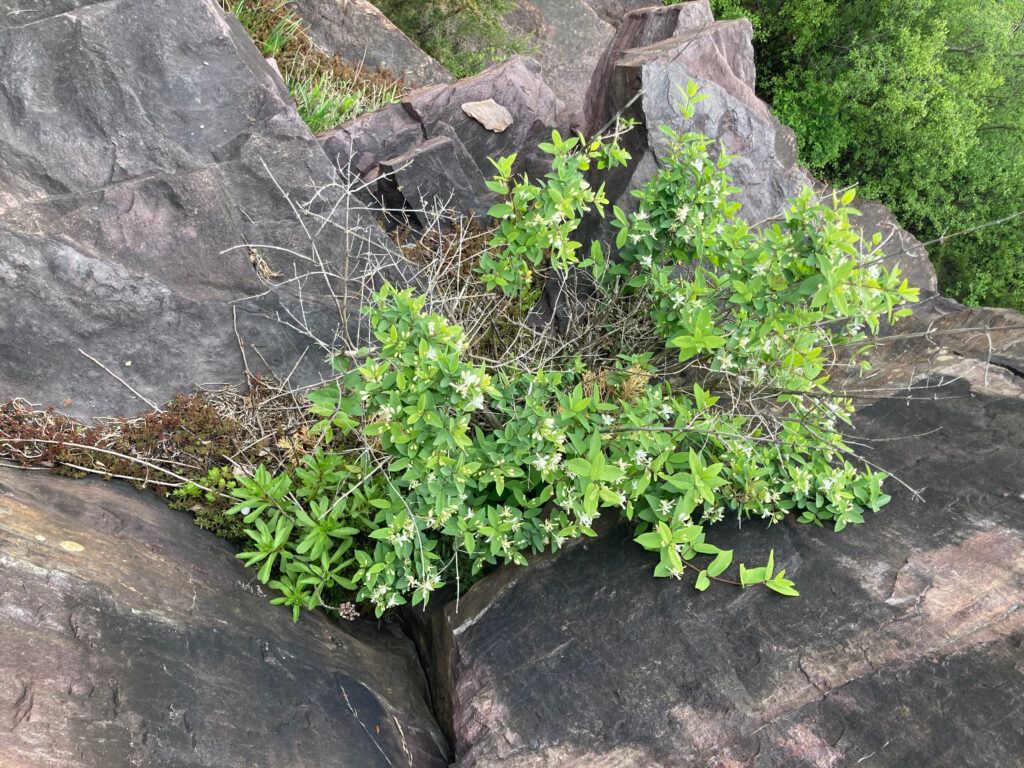
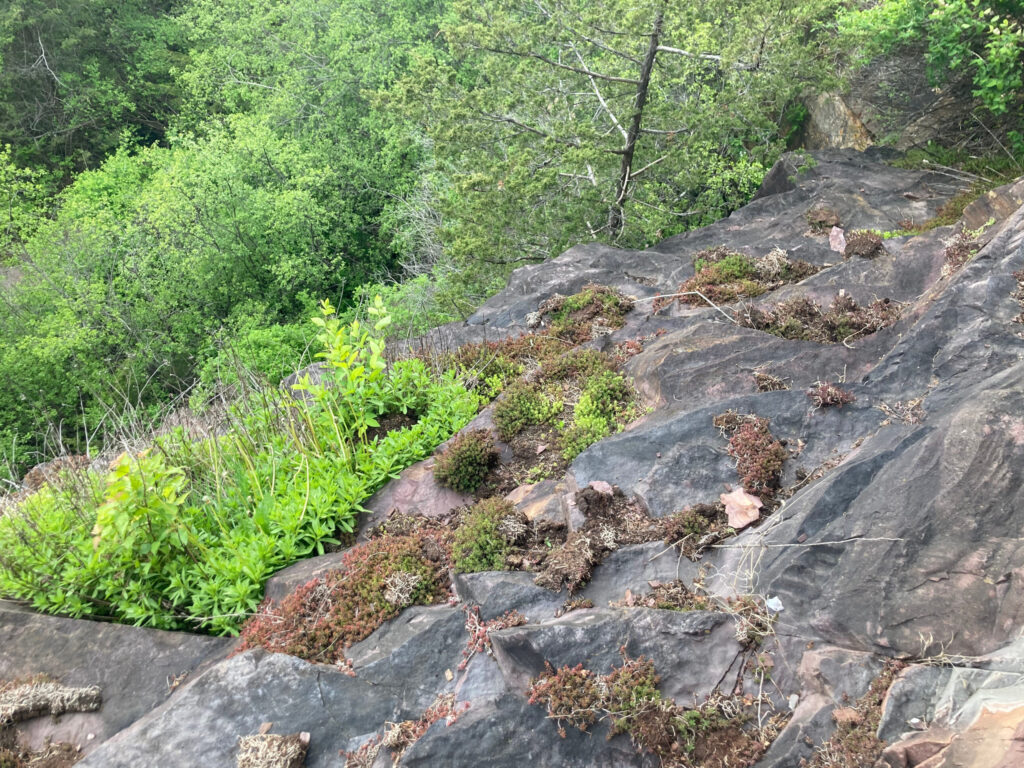
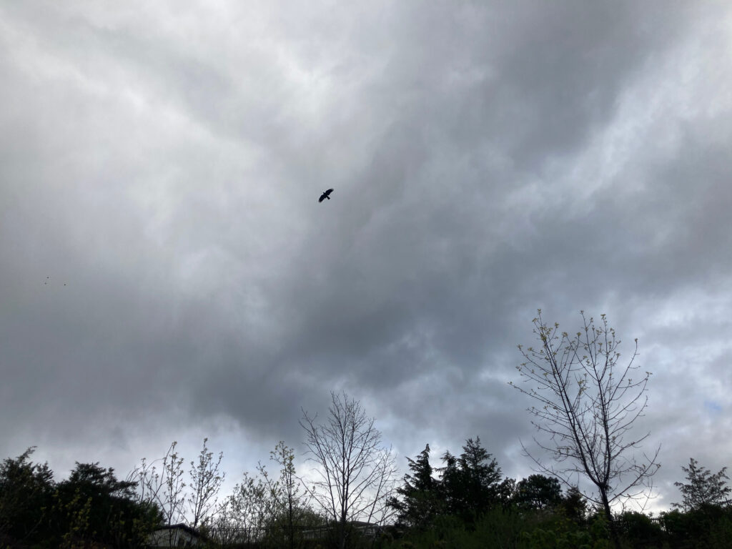
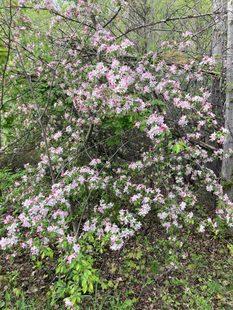
Climbing the cliff, I found that the strange trickles of water remained, and a few hardy honeysuckle plants had made homes among them. From above, a patch of succulents on a ledge looked like a garden tended by elves or gnomes. Descending the cliff I made note of a crow flying above and a woody plant with pink flowers.

Hardy honeysuckle                          Elf garden

A crow in flight                               A beautiful but unidentified flowering plant

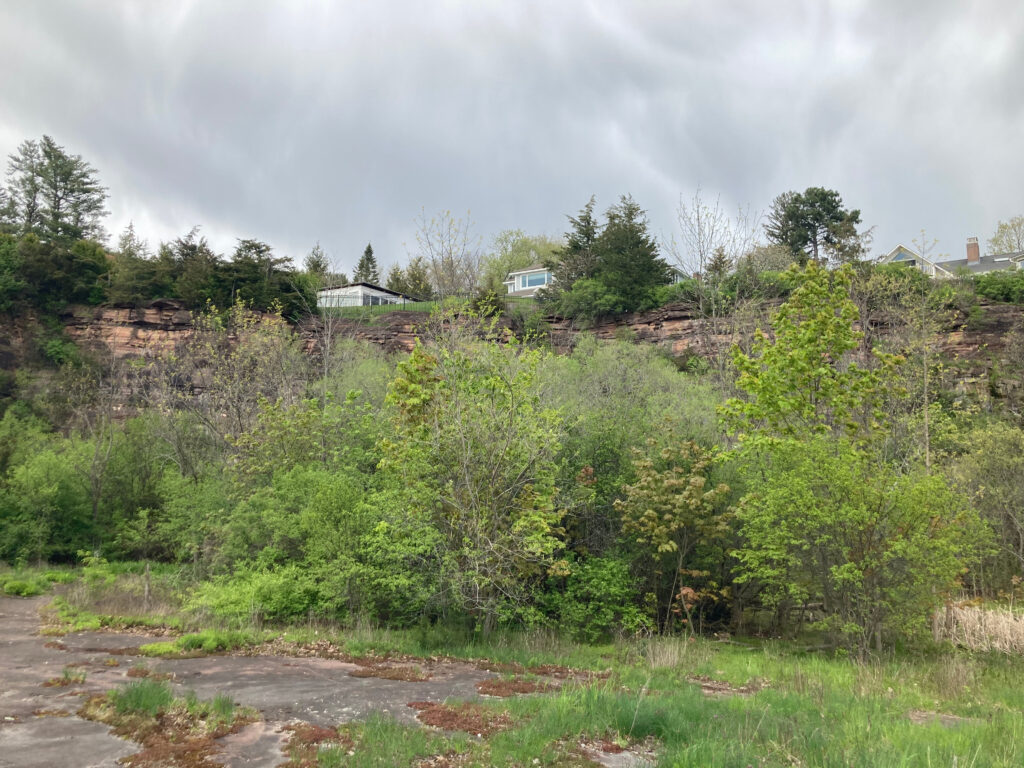
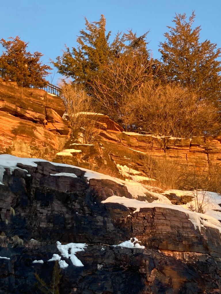
The evolving relationships between people and the land are evident at Redstone Quarry. I was unable to find information about whether it had any particular role in Abenaki culture, but since the 1800s it has played a significant role in the lives of those who live nearby. As one of the largest working quarries in the area, beginning in 1805, it provided materials for many buildings that still stand in Burlington and at the University of Vermont. Evidence of quarrying activity is visible in its exposed rock and steep cliff face. College classes have taken advantage of its unique geology at least since the late 19th century, and now its status as a natural area provides opportunities for residents of Hoover Street, nearby neighborhoods, and the greater Burlington community to interact with nature. It is rare that I don’t see at least one person or family strolling through during my visits. A little free library has been installed in front of the house bordering the quarry’s enterance, an act of reciprocity towards the community that inspires optimism for the future of sustainability and community-oriented living.

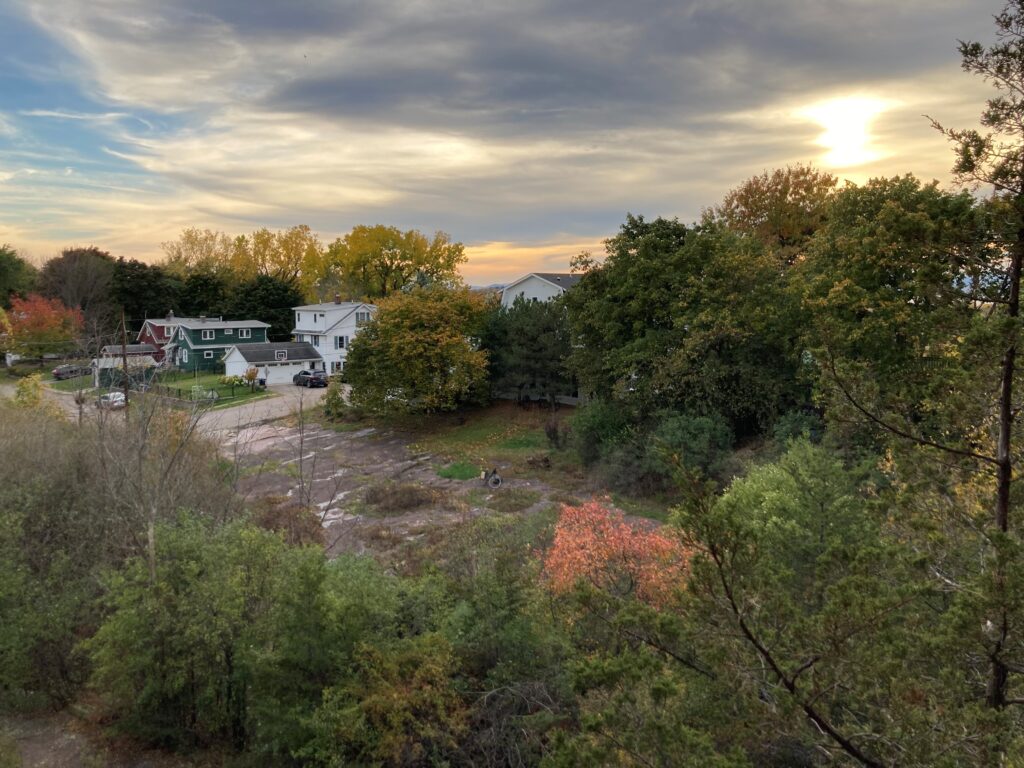
A panorama from the top of the cliff

The question of whether I consider myself part of the quarry is more difficult to answer. My presence doesn’t have a significant impact on the quarry’s natural systems. I do not participate in the maintenance of the walking paths, and I am not part of the food chains documented in the species interaction diagram I made a few weeks ago. My role in the quarry is that of an observer rather than a participant. However, it is unlikely that my photo and note taking captures exactly what existed before I arrived in an objective manner, so in that way I am creating a new version of the quarry for anyone who reads my blog, and in that sense I believe I am part of the quarry in an outward-facing sense. I have encouraged many friends to visit it, and I enjoy sharing what I have learned about the site. It is one of my favorite places in Burlington, so I also consider the site part of myself. As I prepare to go home, I leave the quarry much as I found it in September: green and full of life.

Until next time
Last weekend, in the midst of project deadlines, approaching exams, and visiting friends, I did my best to make time to observe and document species in and around Burlington. I identified several birds downtown, but in an effort to avoid identifying street trees I focused my efforts on two natural areas: Winooski Railroad Bridge #2 and Rock Point. These two sites are some of my favorite places in Burlington, and I was excited to show them to two friends who were visiting from Massachusetts. We visited the railroad bridge on Sunday, and documented several species of trees at the bridge and on the islands nearby.

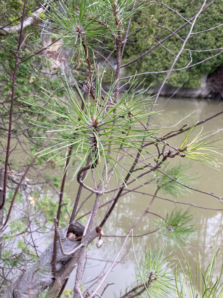
Left: red pine (identifiable by its red bark and pairs of needles)

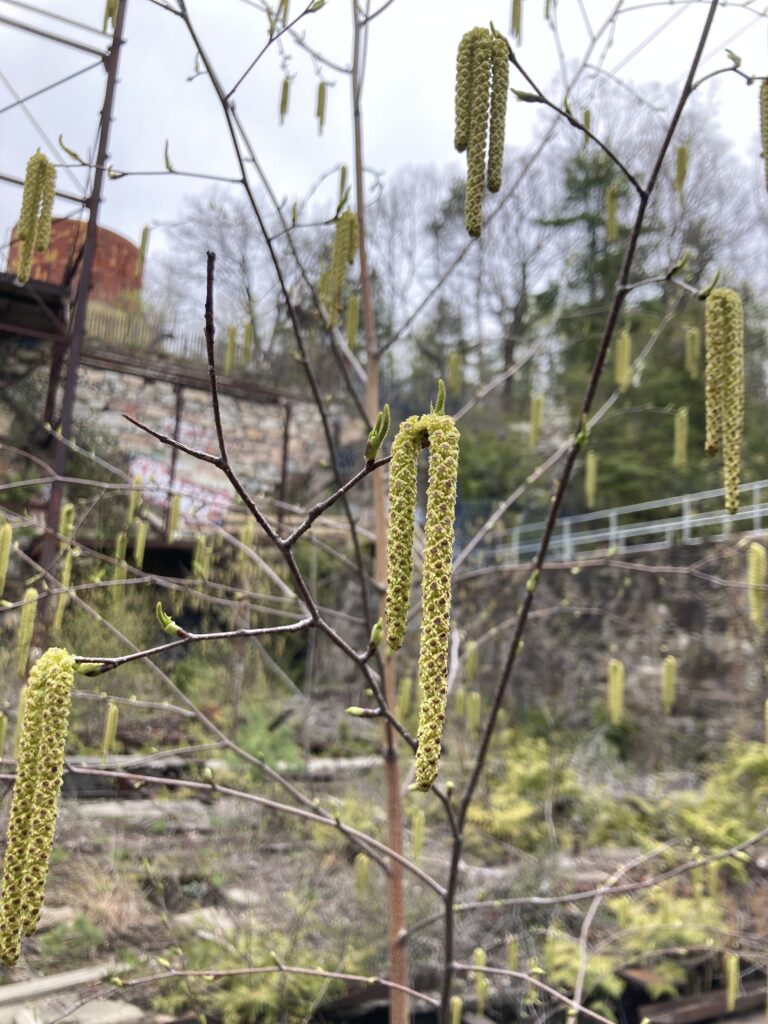
Right: member of the birch family

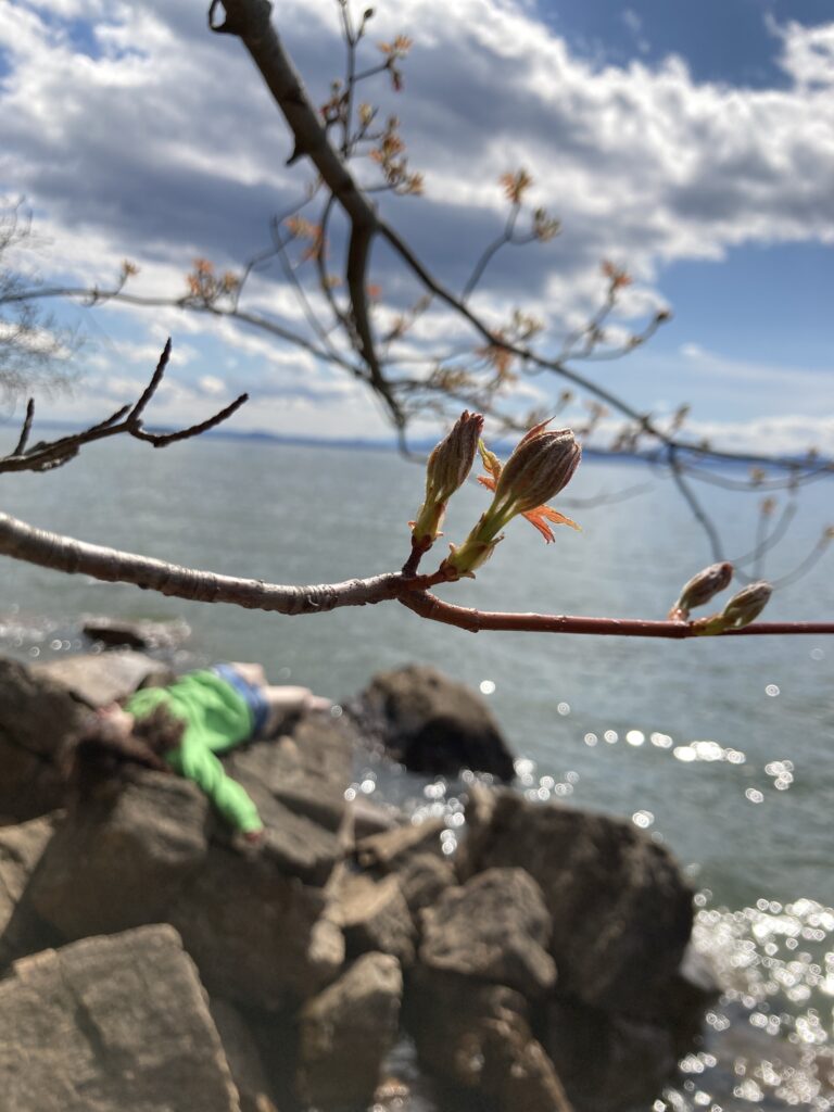
We walked to Rock Point that afternoon, and after an unnecessarily long loop around the property following a wrong turn we arrived at the waterfront, where the NR1 geology lab took place in the fall. Vegetation was sparse, thanks to the shoreline’s thin, rocky soil, but I documented a plant that I was unable to identify.

Interesting bud on an unidentified tree at Rock Point

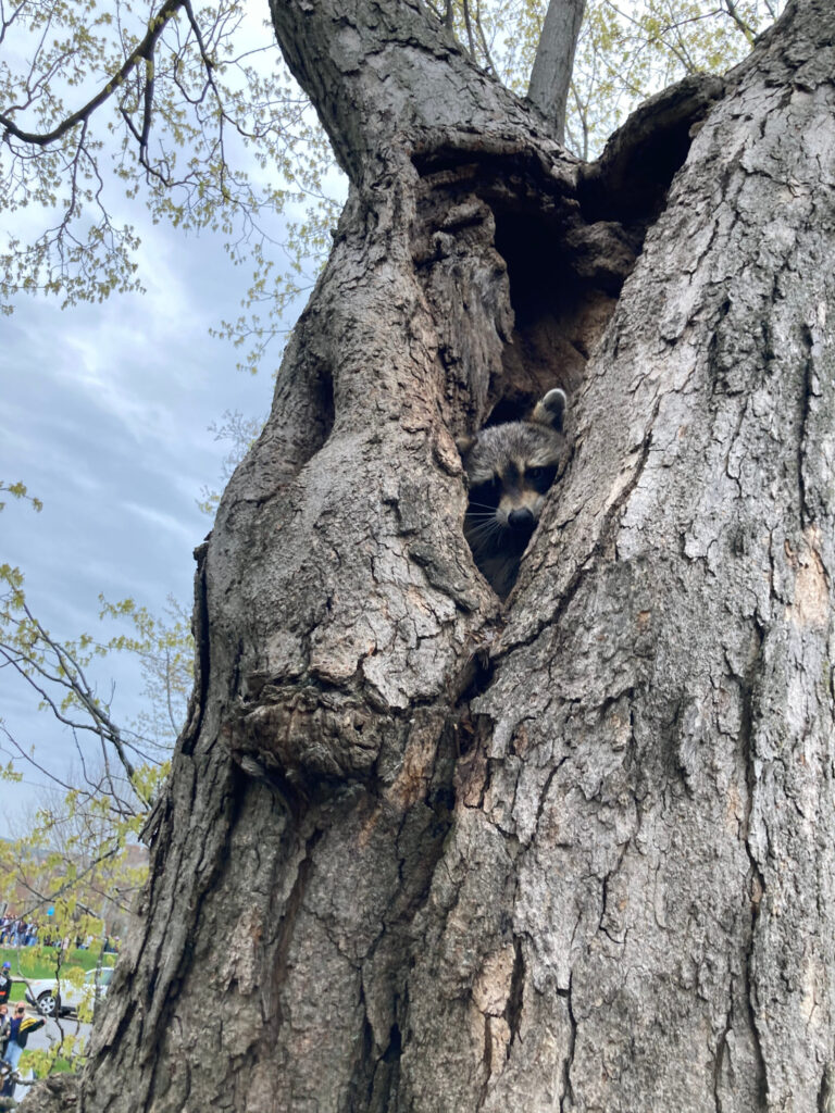
I didn’t plan to make any observations on Monday, but at the protest a friend and I climbed a tree on Waterman Green and encountered a raccoon! It was somewhat nervous and stayed in its hole, leading me to believe it didn’t have rabies and it would be a safe to take a picture before descending.

I think his name is Waldon

I enjoyed participating in the City Nature Challenge more than I expected to. I found its structured nature made me more attentive to species I saw, and the competitive aspect encouraged me to take pictures whenever I saw a new species of plant or animal.

Spring has come

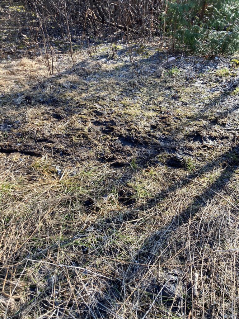
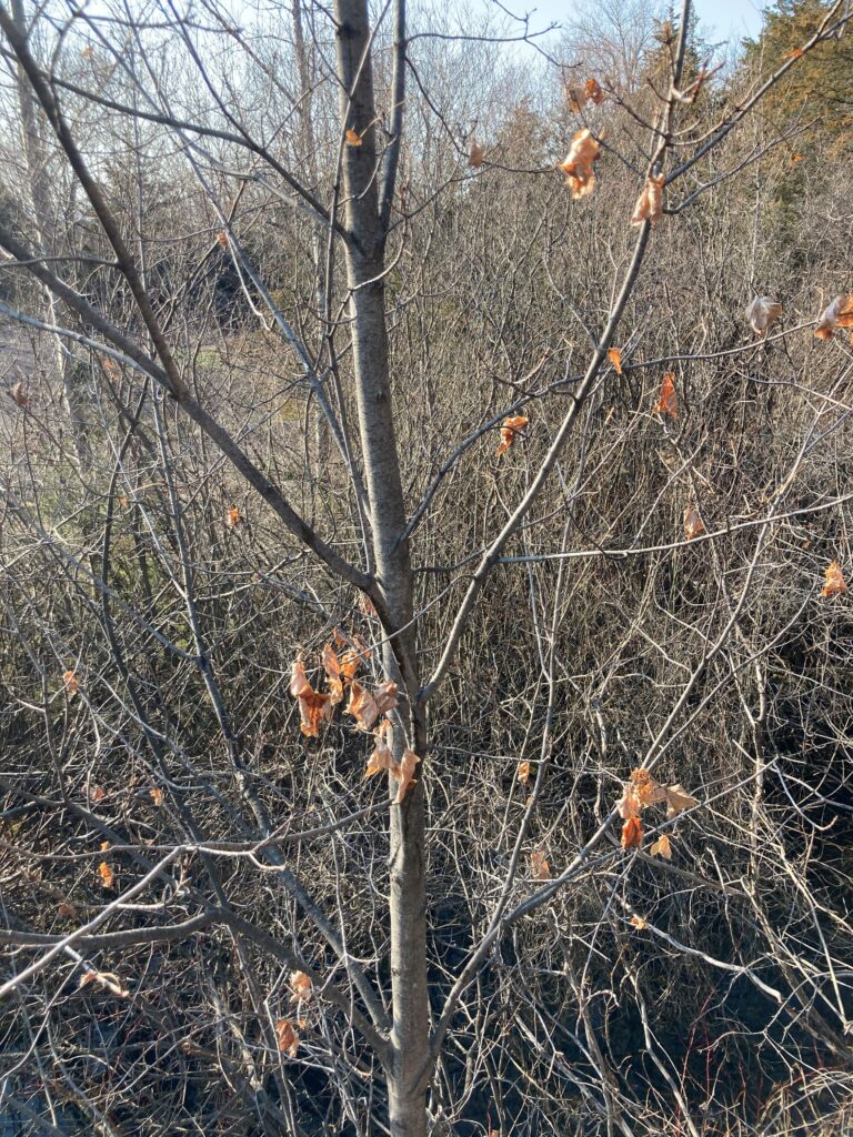
I paid a visit to the quarry last Sunday to make note of the changes that had occurred in the two months since I had been there. It was a sunny day, with the temperature hovering in the low 50s, and I enjoyed my time wandering the site. The snow that had covered it in February had been replaced by mud in heavily trafficked areas, evidence of the important role access to the quarry plays in the lives of those who live nearby. Most trees were still bare, though one maple retained a number of dead leaves.

Mud                                                   Maple with dead leaves

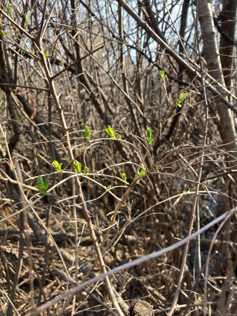
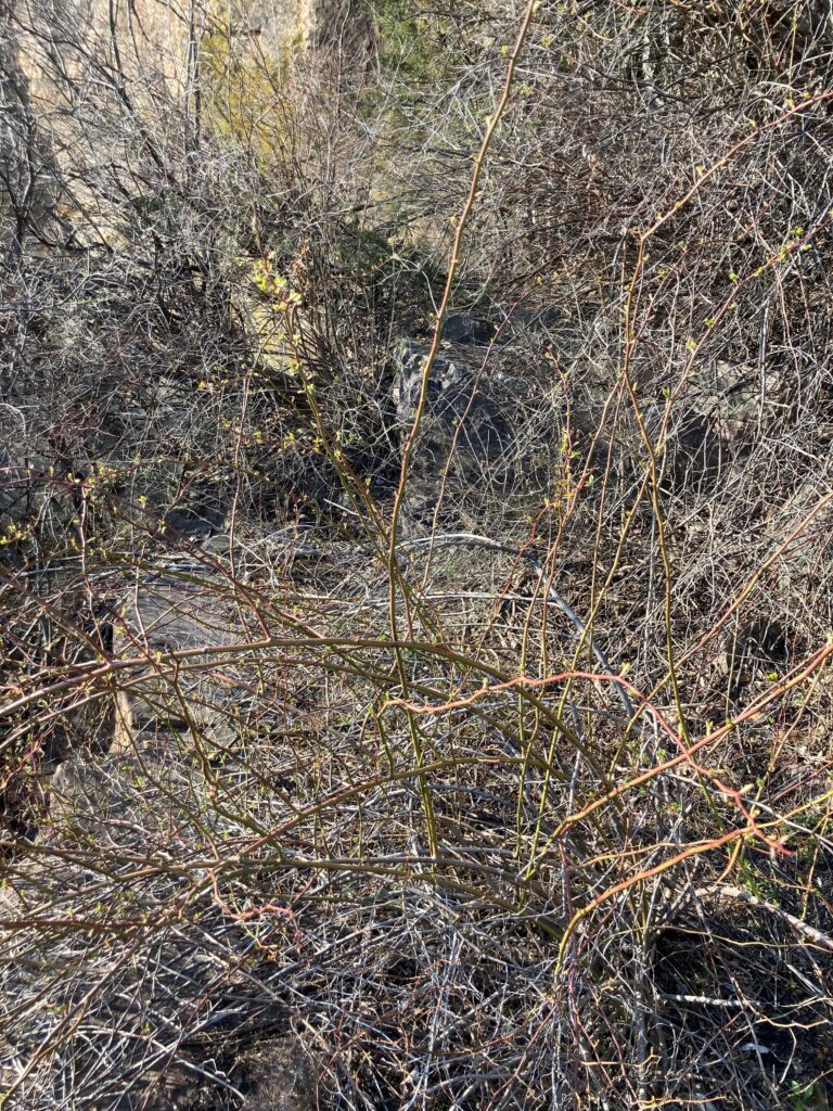
Signs of life were visible in smaller plants. Of the woody shrubs, honeysuckle had the most developed leaves, but multiflora rose had also begun leafing out.

Honeysuckle                                       Multiflora Rose

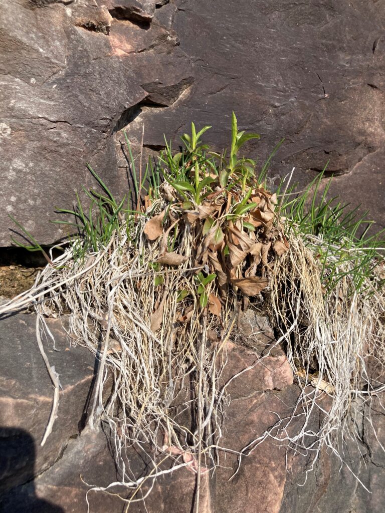
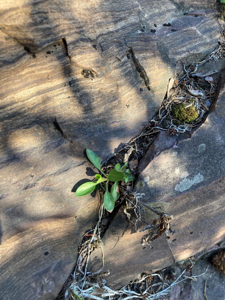
I climbed the cliff, where the chives were fairly large, and another unidentified herbaceous plant poked its leaves out of cracks in the rock. I suspect the surprising number of plants that call the cliff home is both a result of the alkilinity of the rock and the absence of human disturbance compared to the well-traveled lower areas.

Cliff chives                                          Another plant on the cliff

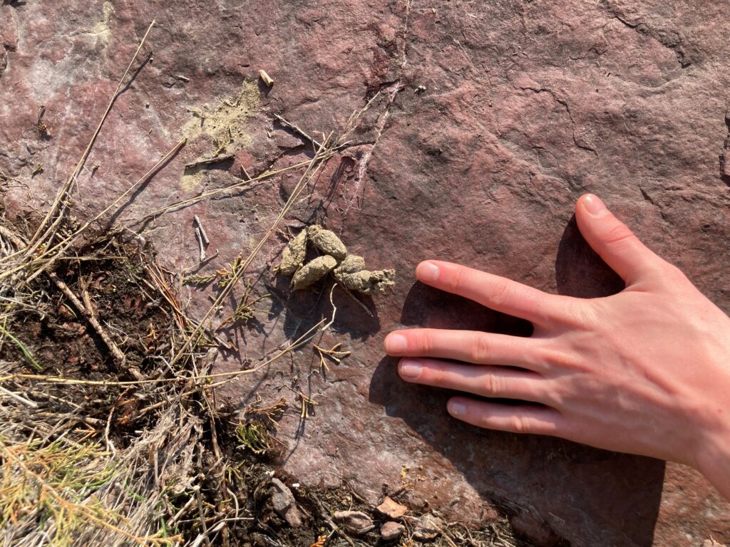
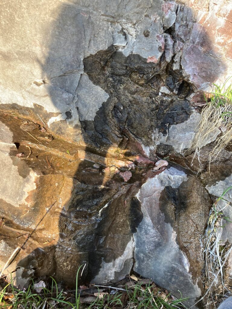
I found a small pile of scat, which resembles that of a porcupine. I didn’t have a stick to pry it apart so I didn’t get a sense of its internal composition. I also observed multiple wet spots on the cliff, where water appeared to be coming out of the rock (perhaps a small aquifer within the cliff). These spots often featured plants, which could be a source of the water (water retention in their root systems) or a result of the availability of water.

Scat (with hand for scale)                   Water on the cliff

iNaturalist was unable to identify this honeysuckle

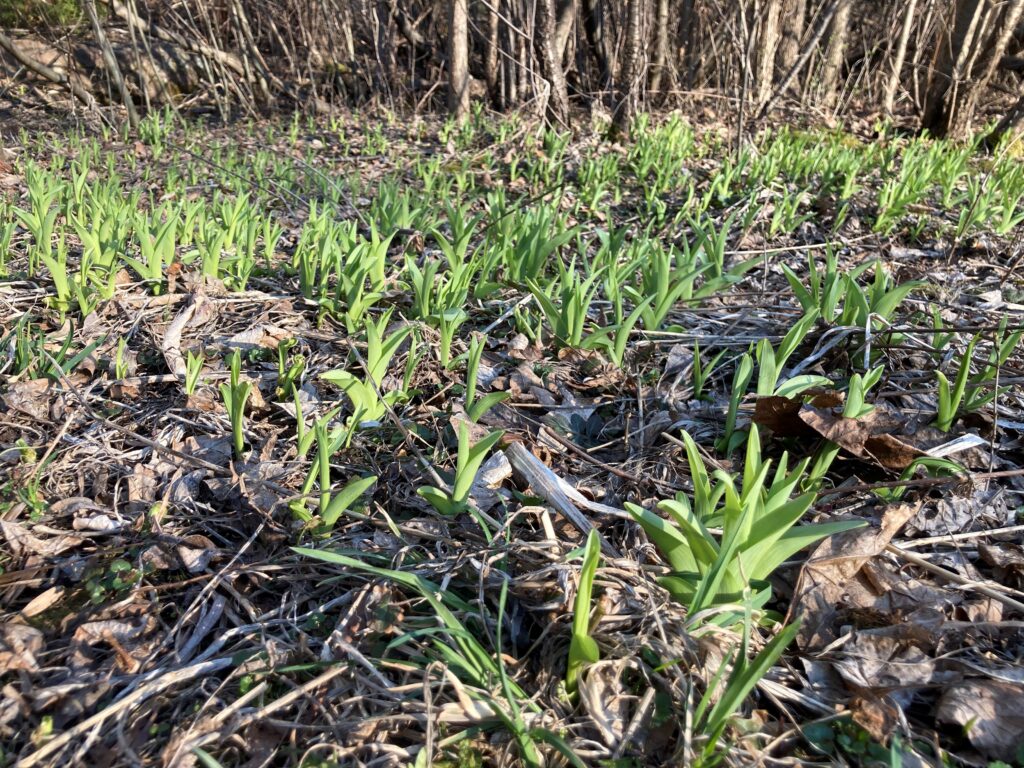
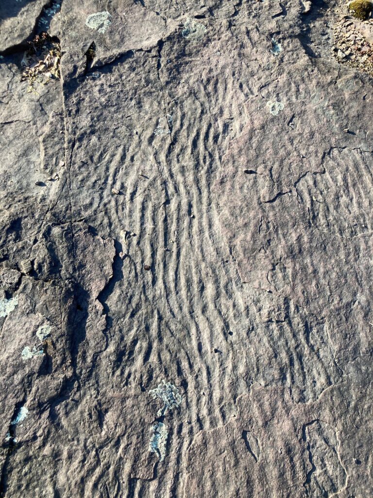
Back on ground level, the irises had sprouted and were bright green. I noticed a ripple pattern in the rock that I hadn’t seen before – perhaps evidence of Glacial Lake Vermont or the Iapetus Ocean.

Irises                                                Rippled rock

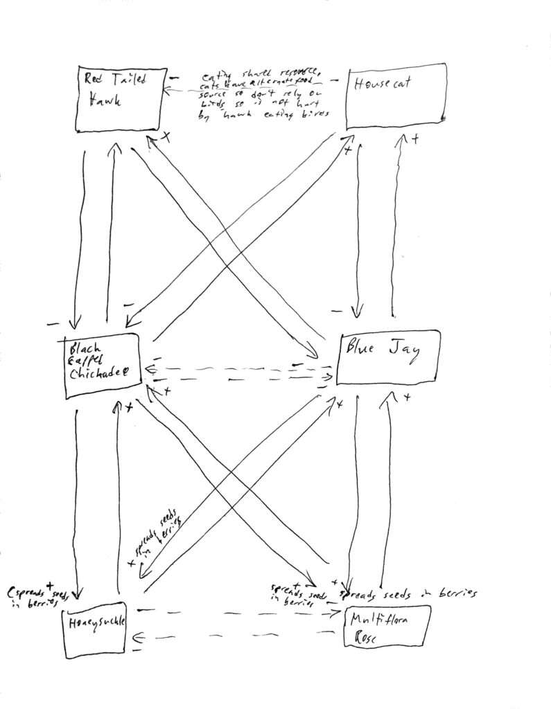
I heard more birdsong than I had heard in February – perhaps migratory birds have returned to the site. Though I didn’t observe hawks or housecats today, I have seen them in the past, so they are included in the species interaction chart below.

Species interaction diagram (click for larger image)

Panorama from the cliff (click for larger image)

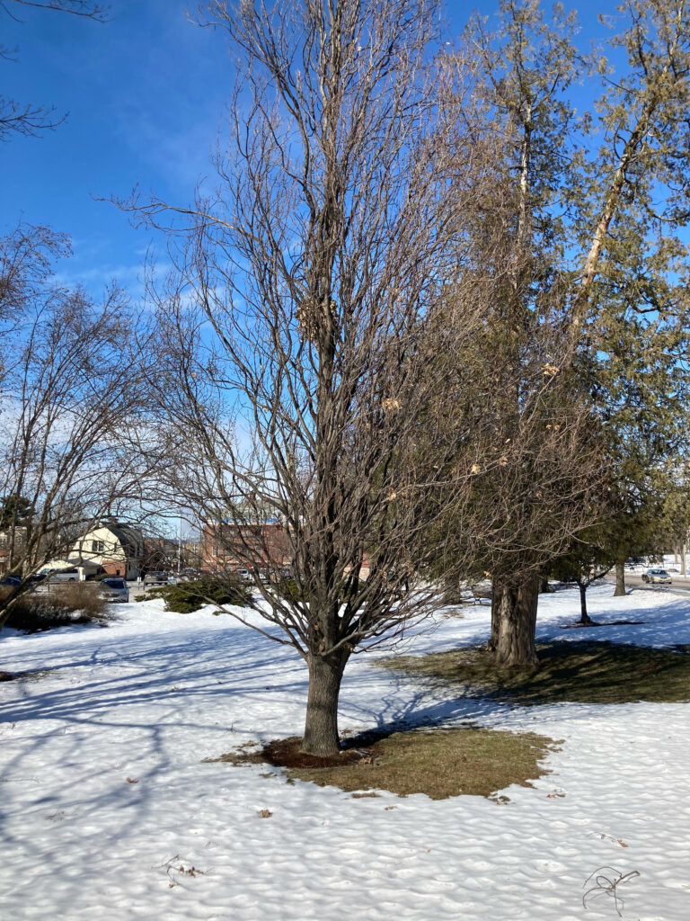
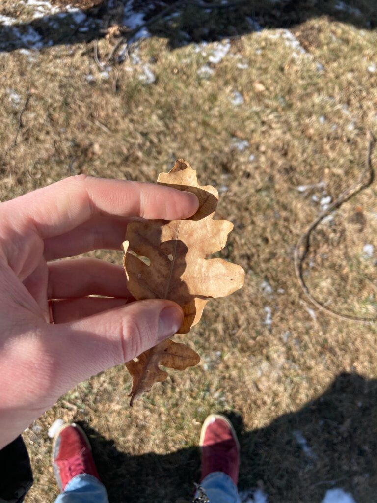
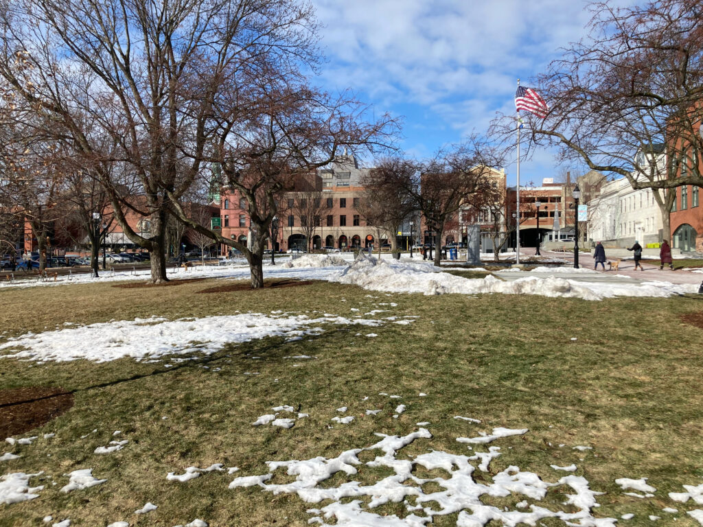
This week I walked through Burlington with two friends to observe the phenological changes taking place in the city in early March. Walking across Waterman Green, I noticed that the snow seemed to have melted under the trees before melting elsewhere. This could have been because of heat generated by the trees, or because there is less snow under them to begin with since their branches block it as it falls, or perhaps the branches above these patches of ground have an insulating effect. Across the street we saw a tree with an unusual structure – its branches were thin and twisty, and swept uniformly upwards. Its leaves hint that it is a White Oak, so I wonder if its branch formation is a result of unusual pruning.

Unusual tree                                          One of its leaves

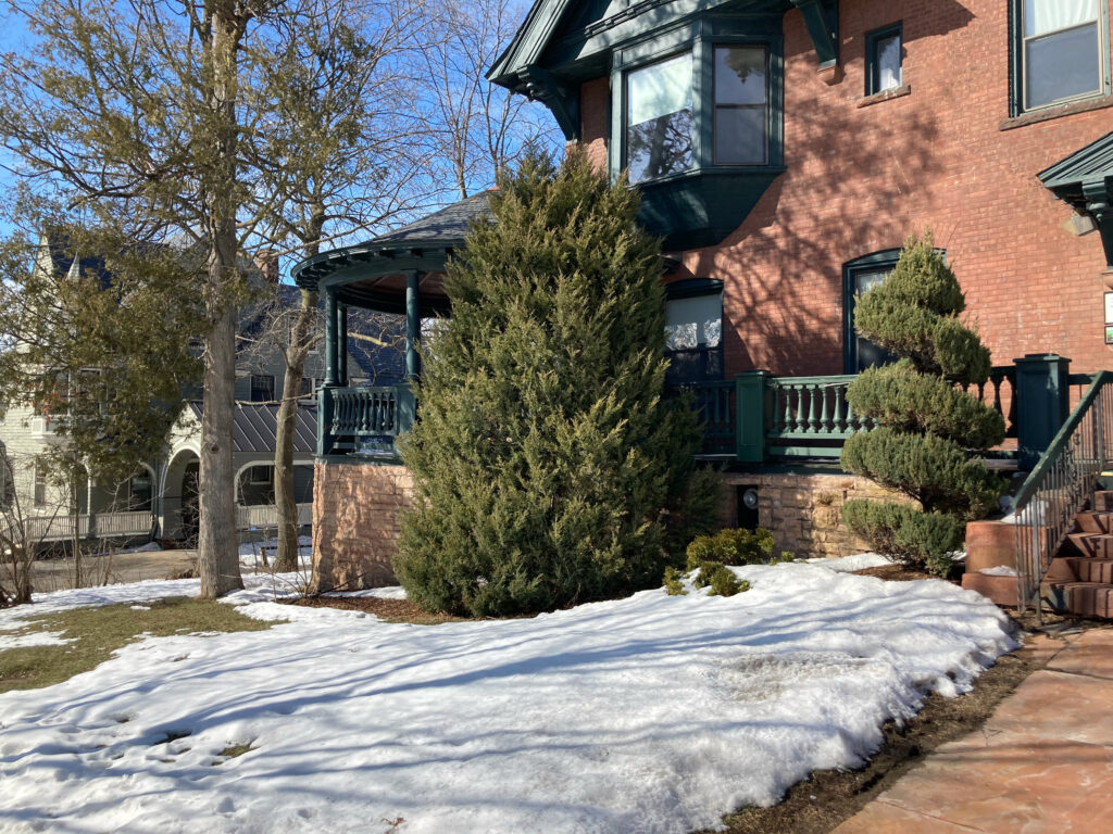
As we made our way downtown I spotted some ornamental shrubs, which appeared to be of the Cedar family. There was far less snow at City Hall Park than there had been at Waterman Green; this could be a result of more aggressive snow-clearing, an urban heat-island effect, or a result of more a temperate climate due to its lower elevation and proximity to the lake.

Shrubs                                           Snow (or lack thereof) at City Hall Park

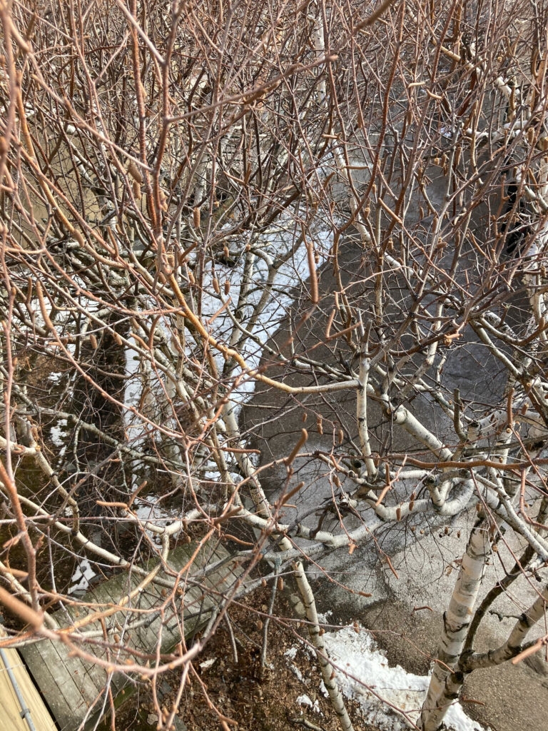
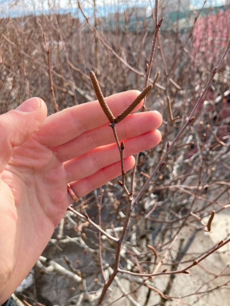
Near the waterfront we encountered several paper birch trees, and the elevated deck we were on afforded us a close-up view of their seeds and buds (which had not yet begun to open).

Birch trees from above                         Seeds and buds

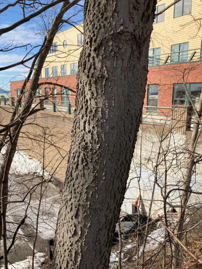
We encountered a tree we were unable to identify on a steep hillside off of the road. I had never seen a similar bark texture before, and I wonder if it was a result of exposure to pollution from cars or if this was its natural appearance.

Unidentified tree with unusual bark

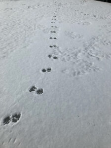
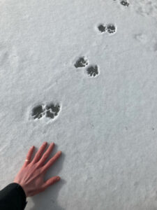
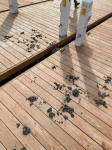
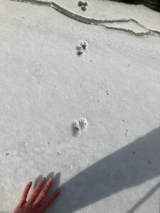
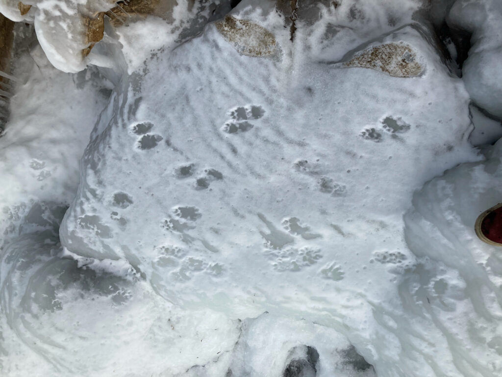
We walked across some docks grouped together for the winter in the marina. The undisturbed snow on the ice revealed several sets of tracks. We identified two distinct types: those that appeared to belong to a small raccoon, and five-toed tracks that appeared to belong to a member of the weasel family. We saw what we thought was scat on one of the docks, but its dry flaky texture suggested that it may have simply been dried seaweed and crushed clam shells.

Weasel-esque prints                         Weasel-esque prints with hand for scale

Possible scat                                    Small raccoon prints, with hand for scale

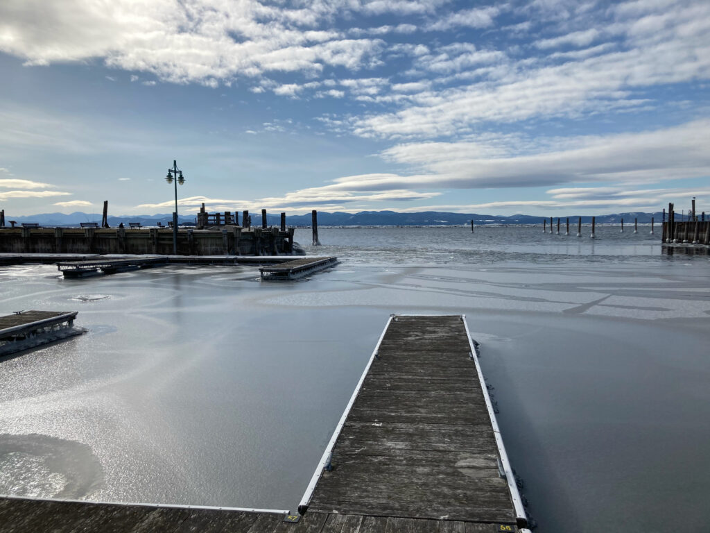
The view from the docks

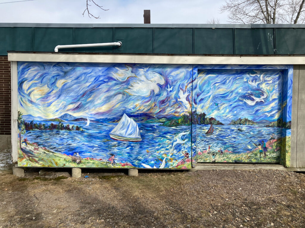
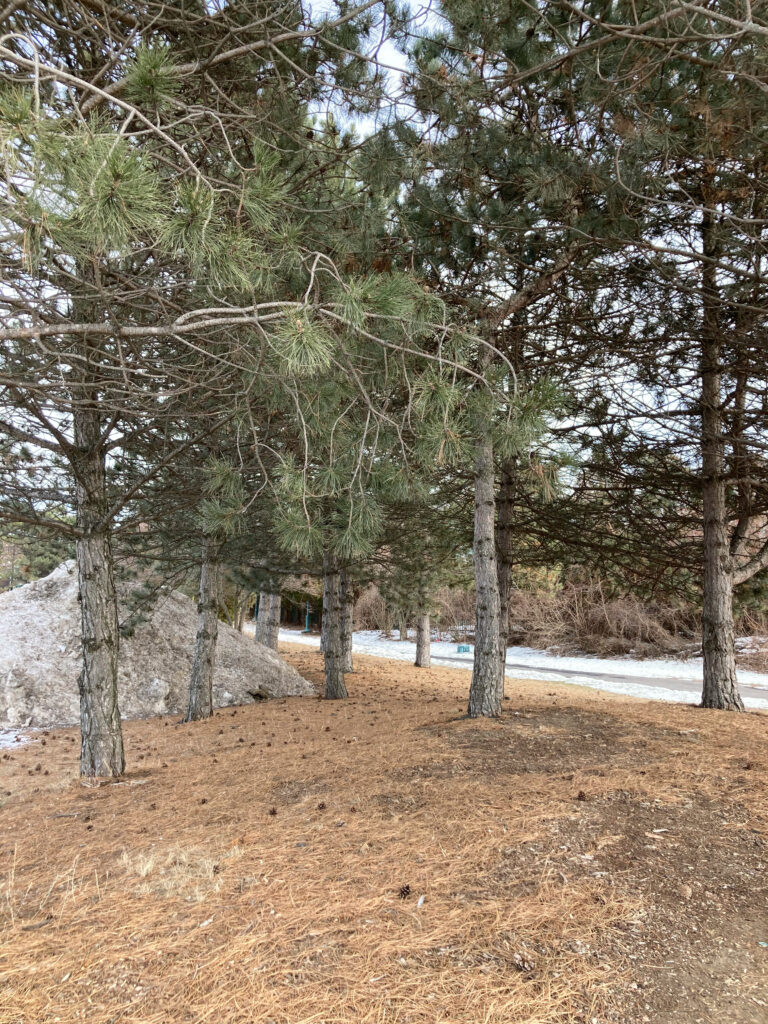
Continuing past the docks, we arrived at a small park. Here, a mural on the side of a maintenance shed reminded me of new urbanist approaches to creating a sense of place. We saw a stand of Red Pines, which retained their needles and seemed to have sheltered the ground below them from snowfall.

A mural                                              A stand of Red Pines

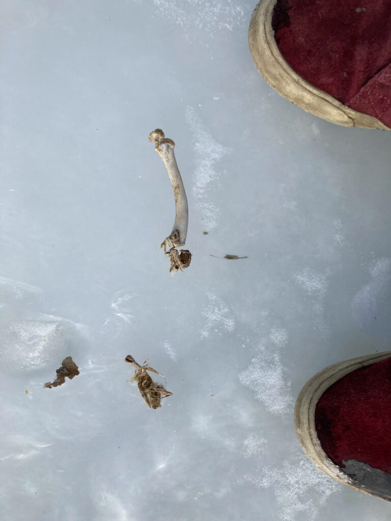
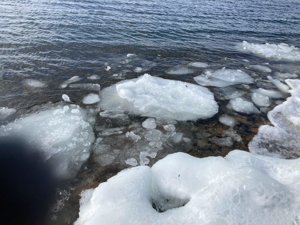
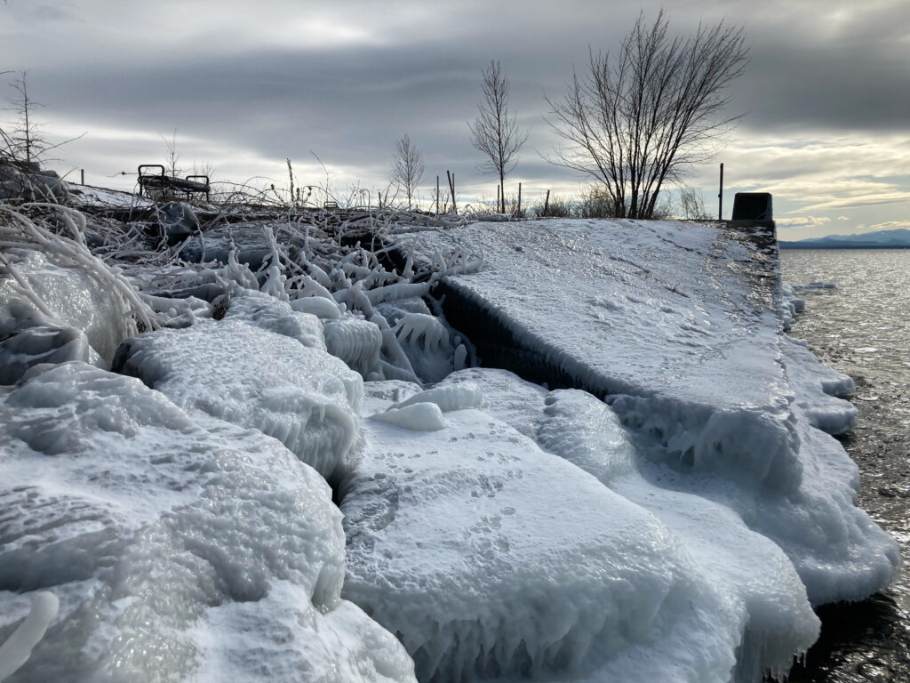
We walked along the ice on the shore of the lake, and encountered similar animal tracks to the weasel-esque ones we had seen by the docks. We saw a small animal bone as well (possibly the remnants of the weasel’s meal), and beautiful ice formations.

Prints (weasel?)                                    Animal bone, with feet for scale

Ice at the edge of the lake                    Ice formations along the shore

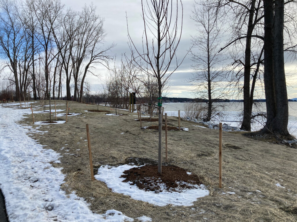
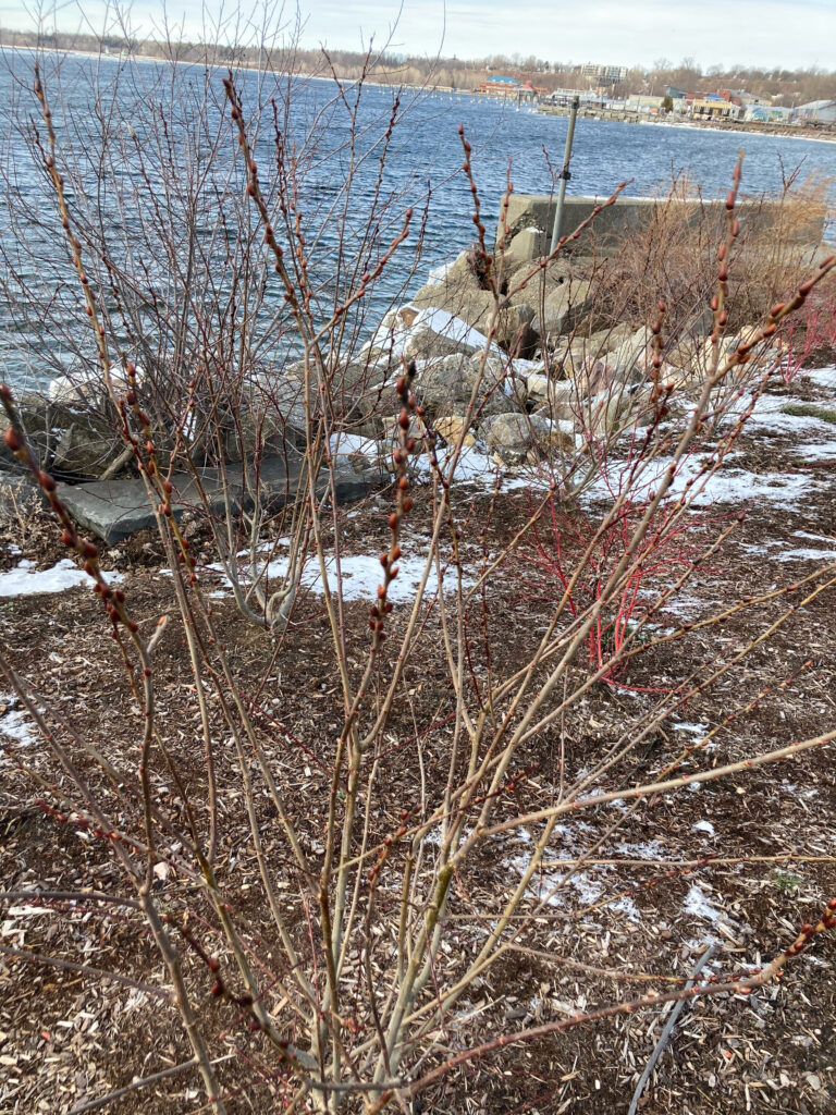
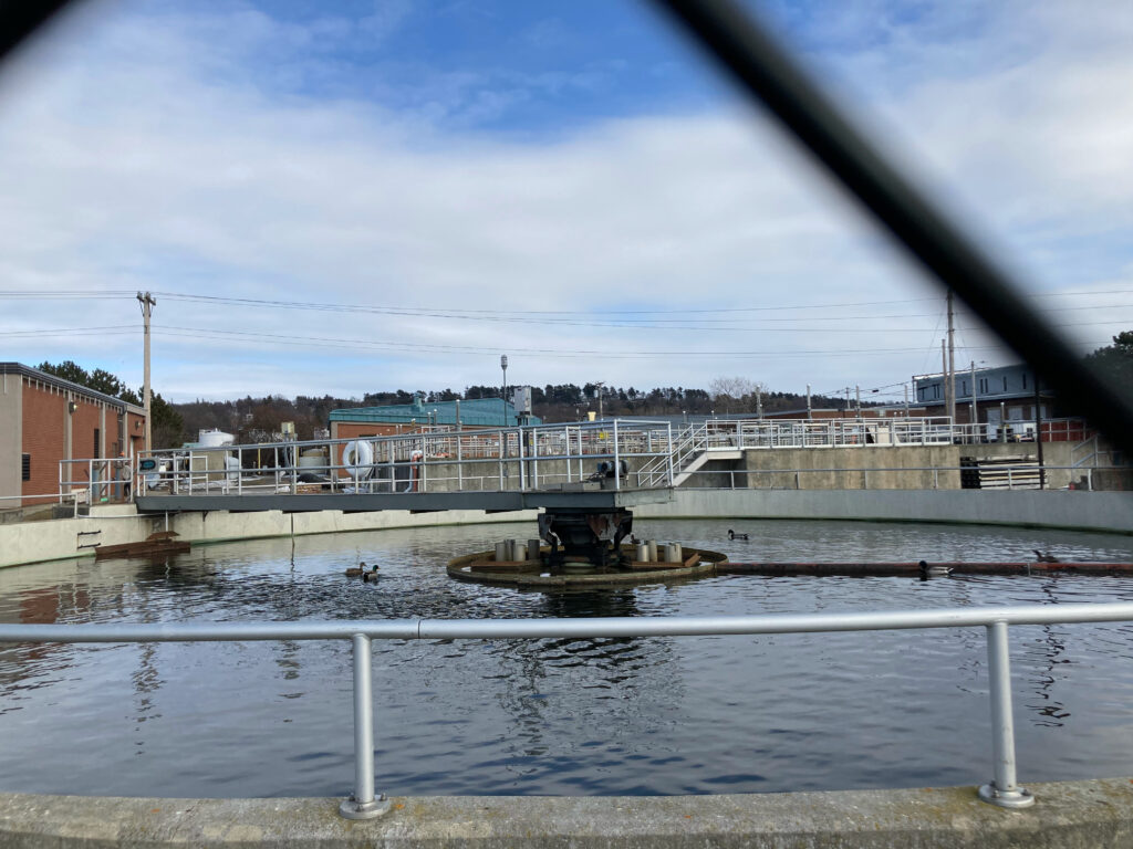
We continued on the bike path that ran parallel to the shoreline, and saw several ducks swimming in a pool in the wastewater treatment facility, which struck me as an interesting subversion of human development for natural uses. Several mulch beds on the side of the trail were host to newly planted trees, though I was unable to identify them.

Saplings             More saplings (the formation of buds reminds me of sumac)

“In a time of universal development, swimming is a revolutionary act” – George Orwell or something

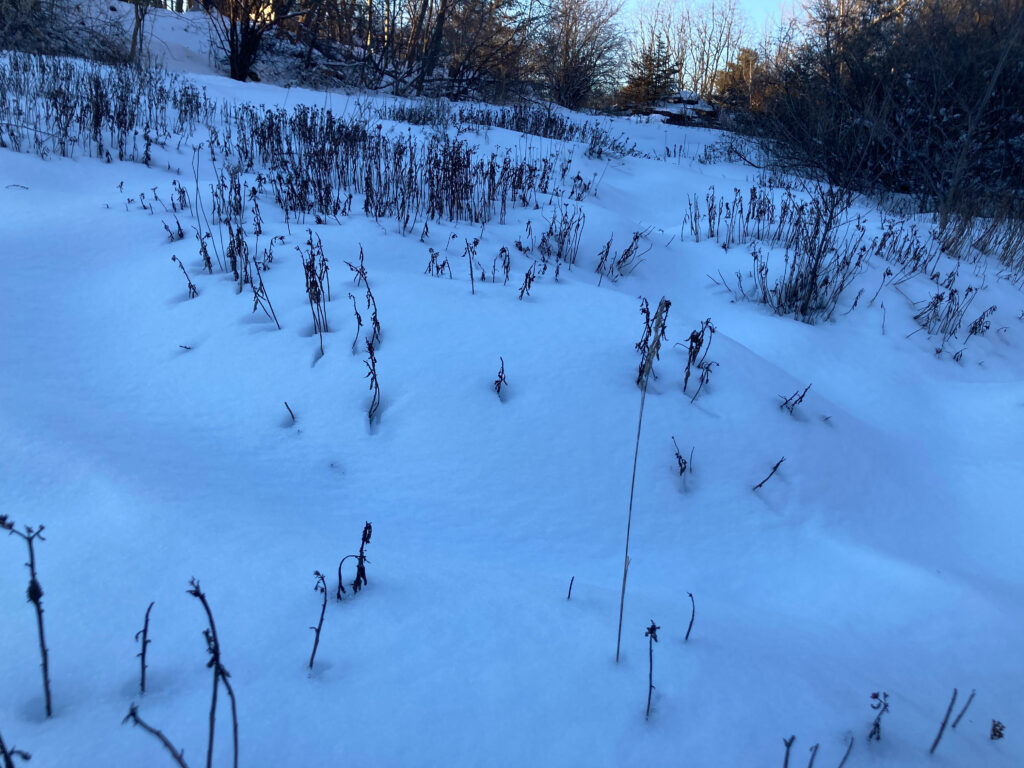
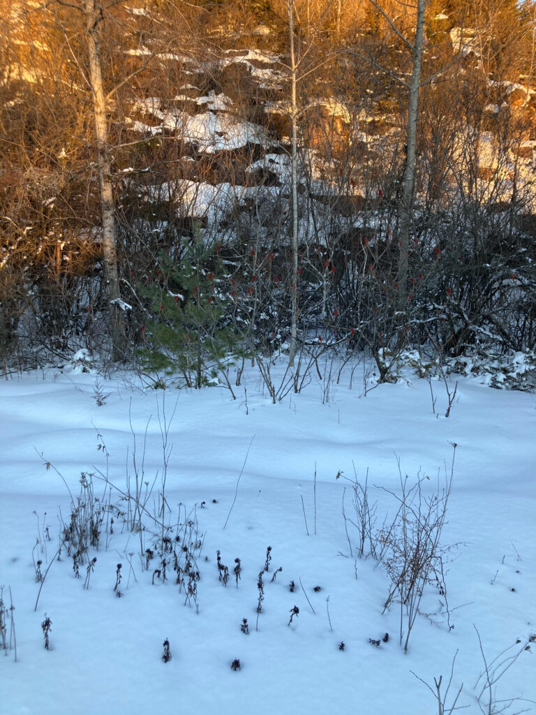
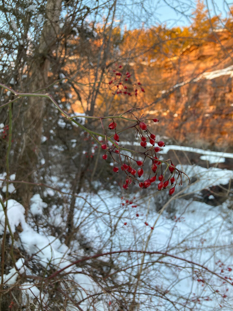
With a two month winter break over and a new semester underway, I visited Redstone Quarry this afternoon. The temperature was in the mid 30s, and I arrived at the quarry around 4:20 PM. The first thing I noticed were footprints on the path, evidence that cold weather has not deterred the local community from taking advantage of this natural area. The grassy plants on the flat part of the ledge poke through the snow – I wonder if they will fall or rot away in the spring to make way for new growth, or if the blackened stalks are still alive. Aside from the grey-brown Juniper leaves, which appear greenish, a small white pine is the only tree that retains its leaves. Sumac trees retain decrepit red fruits, and multiflora rose berries in various stages of decay are present. I wonder why all the berries haven’t been eaten – perhaps food isn’t very scarce right now.

Grassy vegetation, still standing

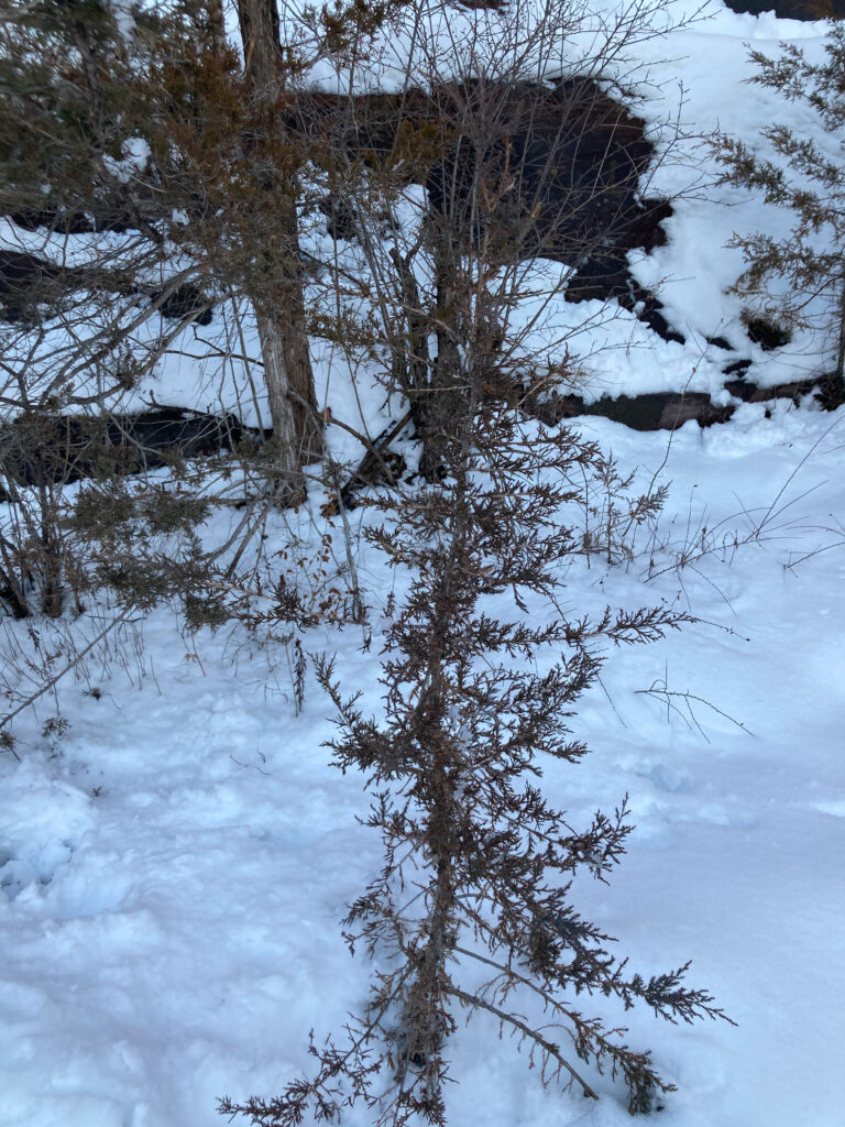
Juniper                                White Pine and sumac

Multiflora rose berries

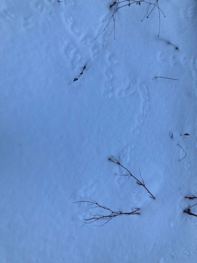
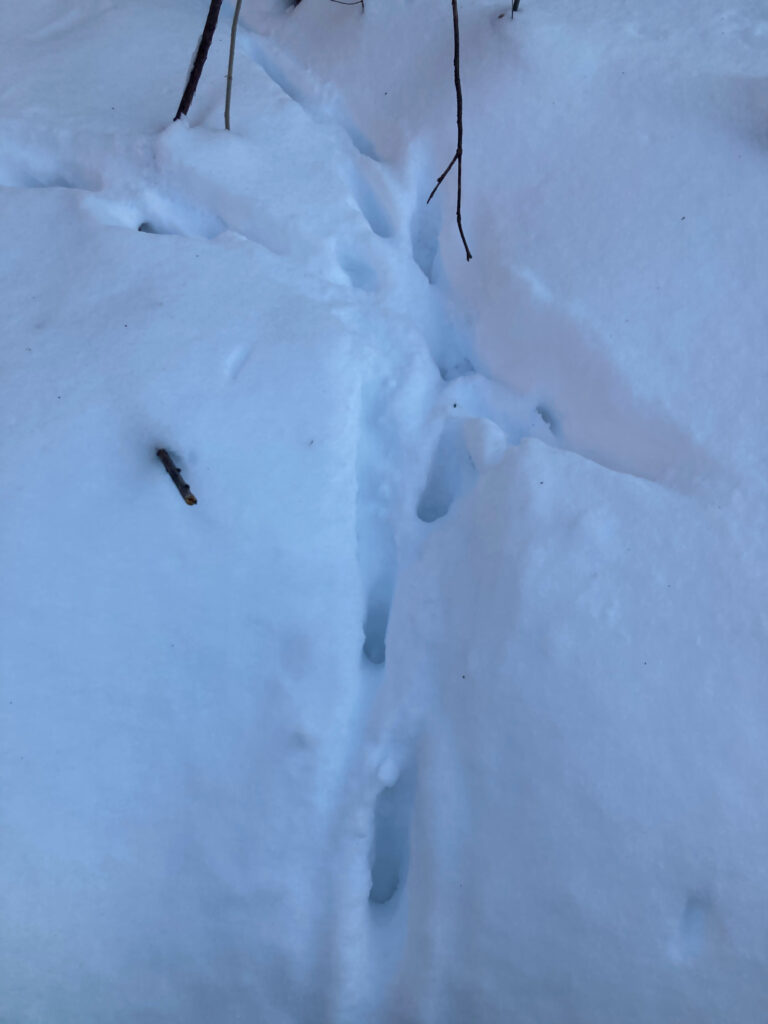
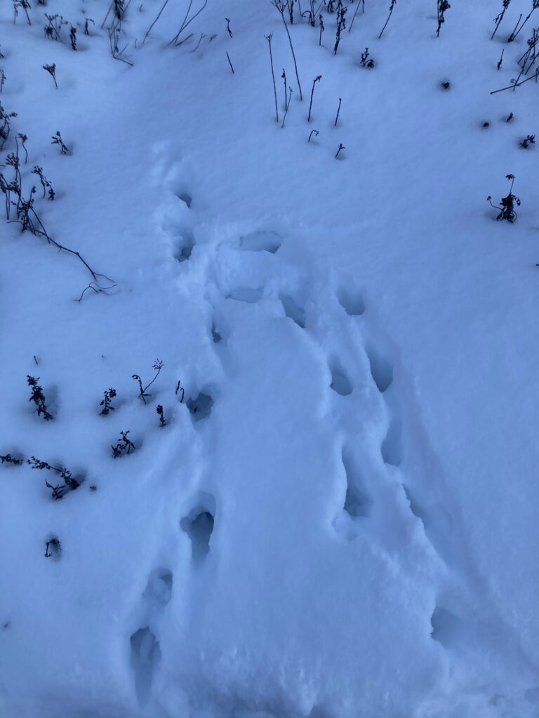
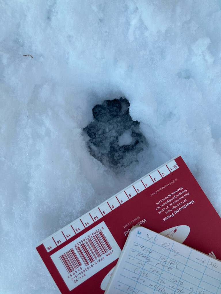
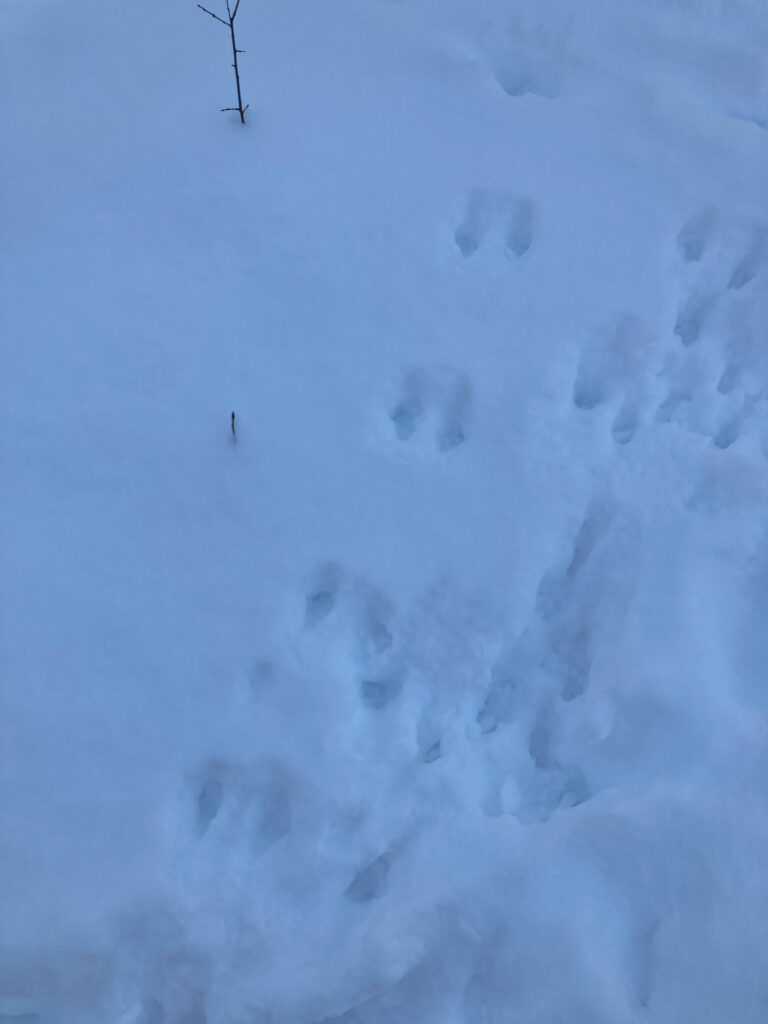
There are numerous tracks in the snow, but wind and fresh snow has somewhat obscured them and it is difficult to distinguish those of wild animals from local cats and dogs. Several shallow indentations in the snow near the first bridge seem like bird tracks, since they disappear and reappear seemingly at random. I believe the various small, deep prints I found were left by a cat, as I encountered a cat named Leo who left similar tracks. Other tracks included some sort of canine (possibly a dog) and a trail of pairs of prints (possibly a larger bird or a bounding animal).

Bird tracks                                           Unknown tracks, possibly a cat

Tracks left by a cat, for reference           Canine tracks, with centimeters for scale

Unknown tracks, possibly larger bird or bounding animal

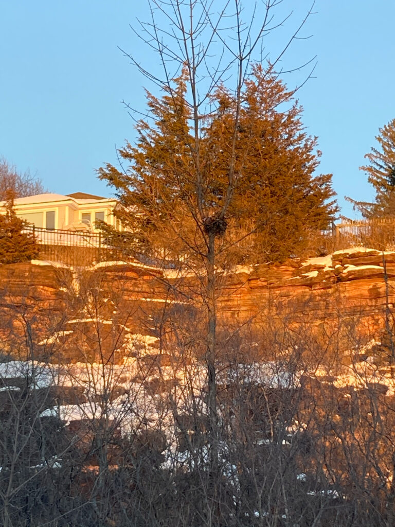
I saw a crow fly overhead a few minutes after arriving, and spotted a male and female cardinal sitting in a tree near the rocky outcropping, and later a male sitting in a bush above the cliff. The lack of leaves made a squirrel nest visible. I wonder where the birds I saw live.

Squirrel nest

Leo the cat

A Site in Massachusetts

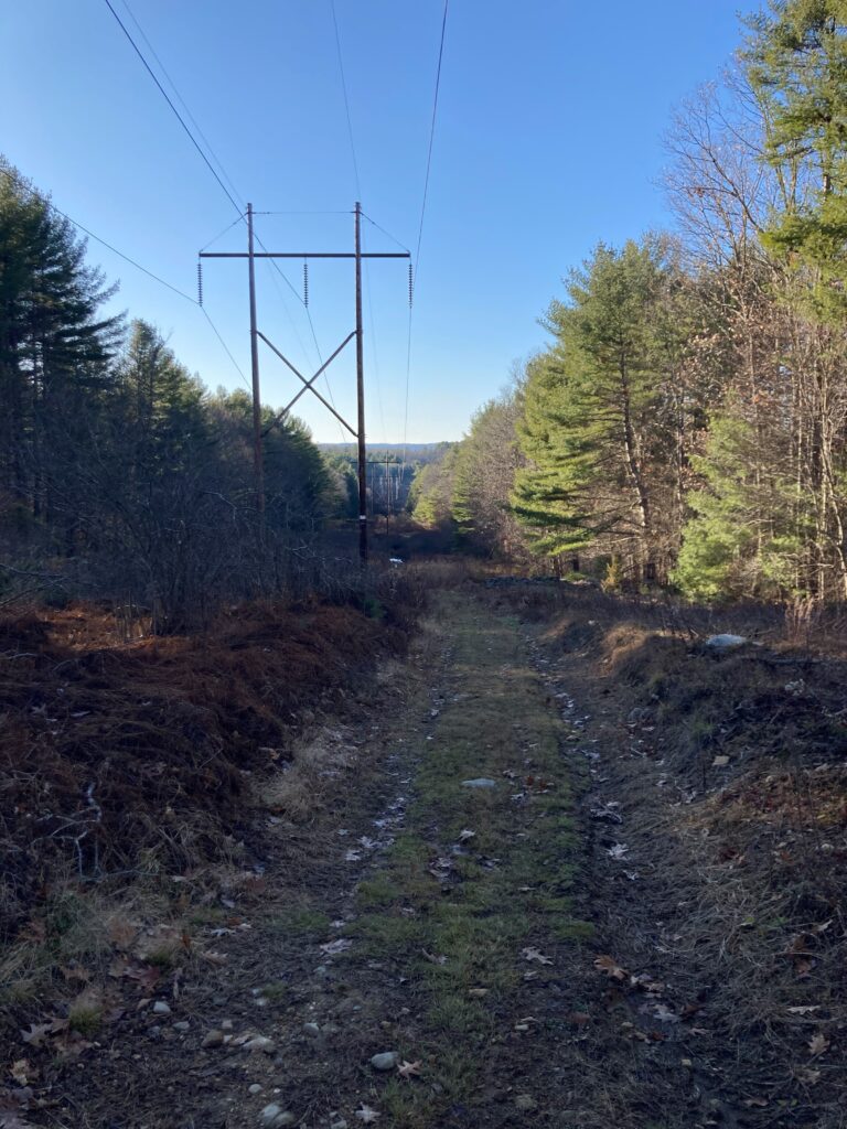
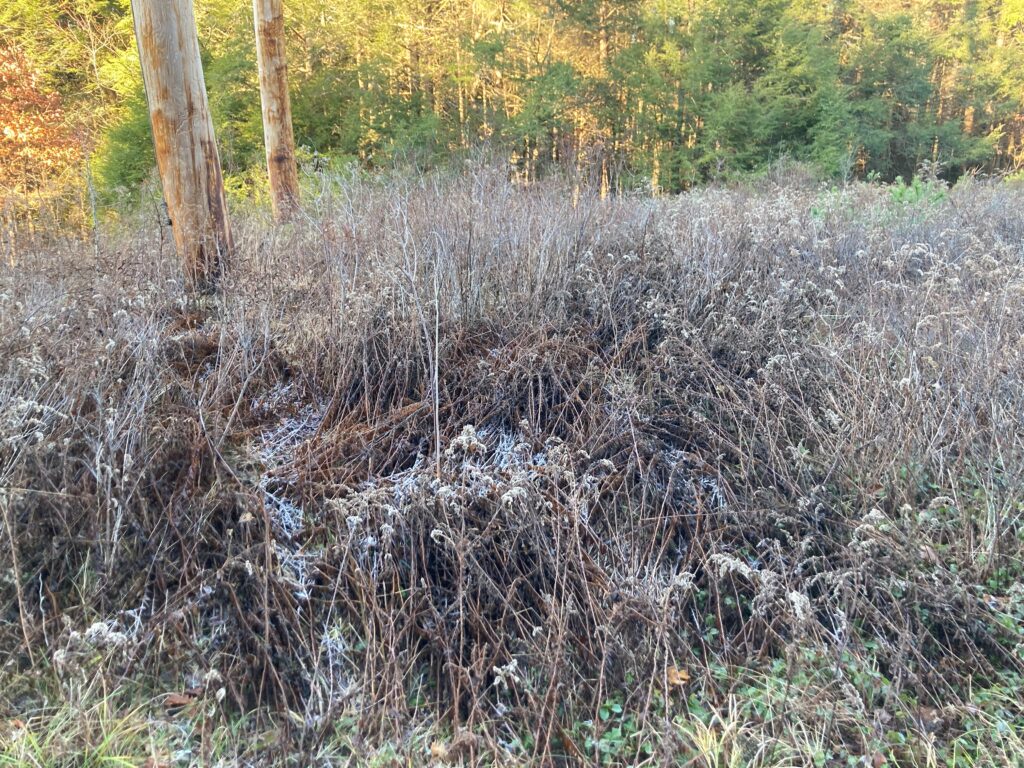
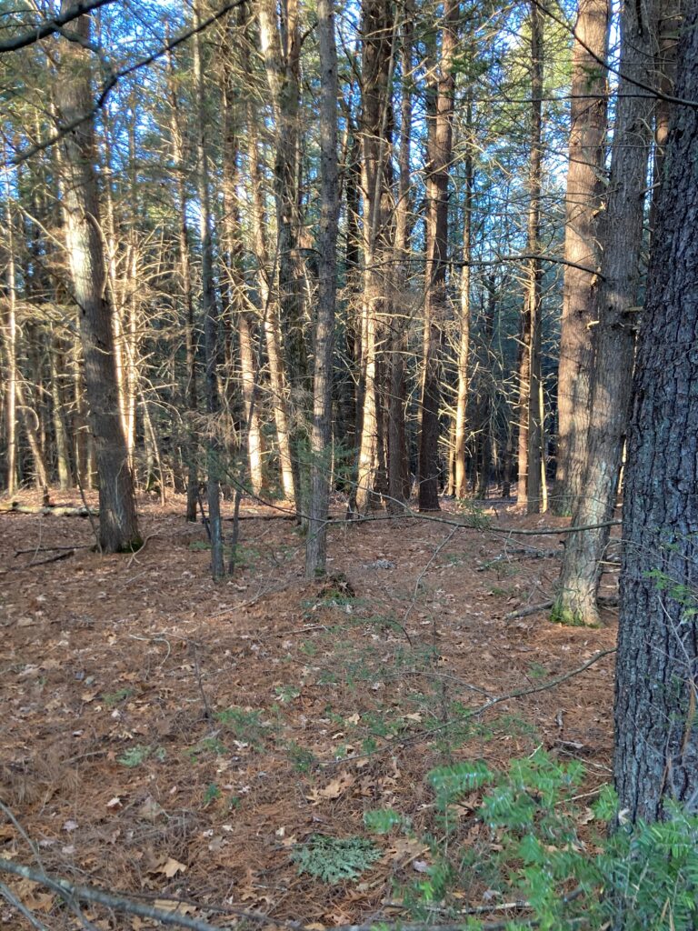
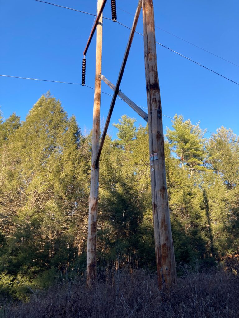
After a week in quarantine, delayed test results (they were negative though), and a 3.5 hour drive I’m home in Massachusetts. I decided to write about a spot on a power line a few miles from my house for my final blog post, hoping to draw comparisons between this disturbed area and the quarry. I picked a spot on top of a rise along a seldom-used access road, on a balmy late November day. The sky was a grey-ish blue but the sun was already low at 2:00, a reminder that winter is coming. Here’s a link to the spot on Google Maps.

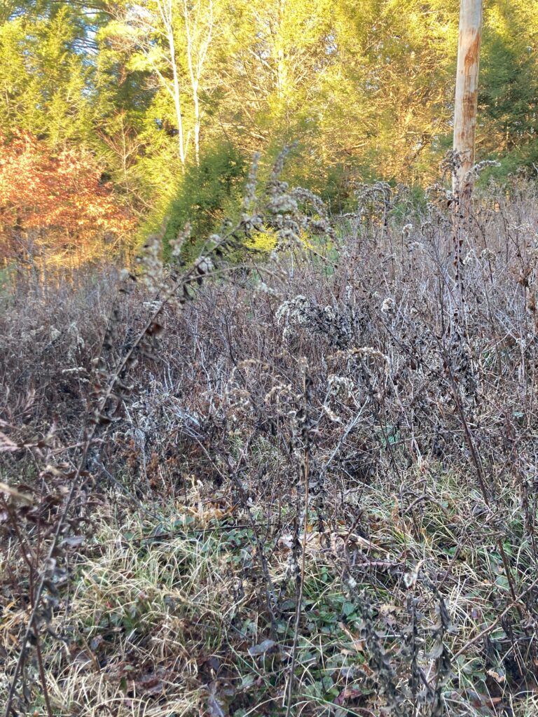
I neglected to take a picture of the entirety of my spot, but this is a similar spot a few hundred feet down the power lines.

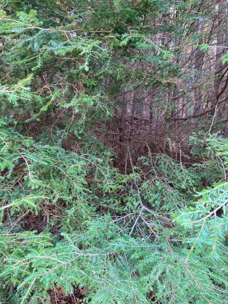
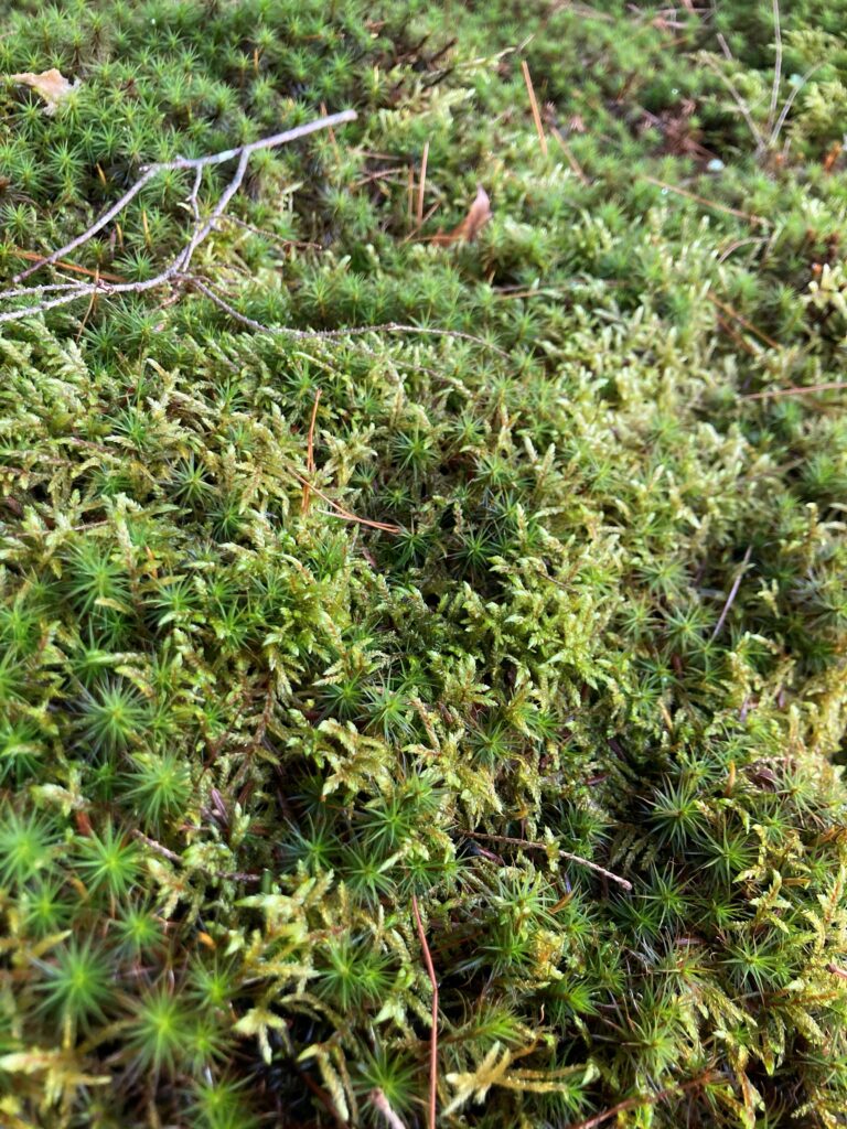
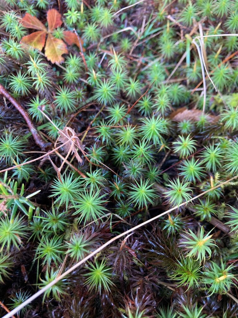
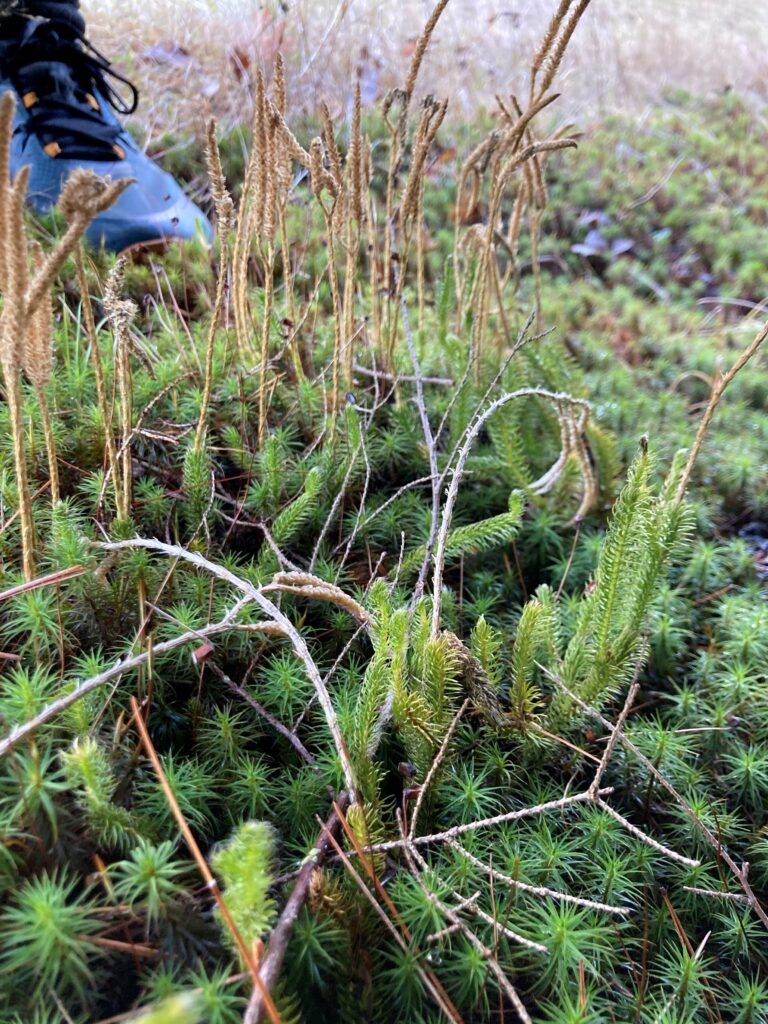
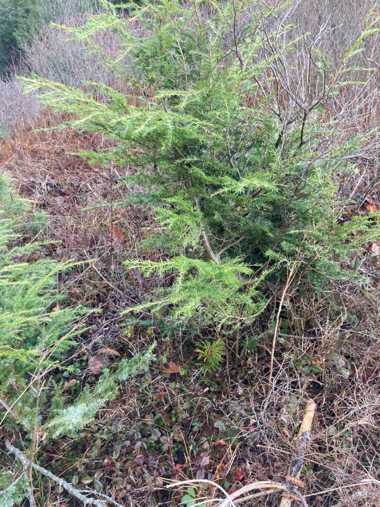
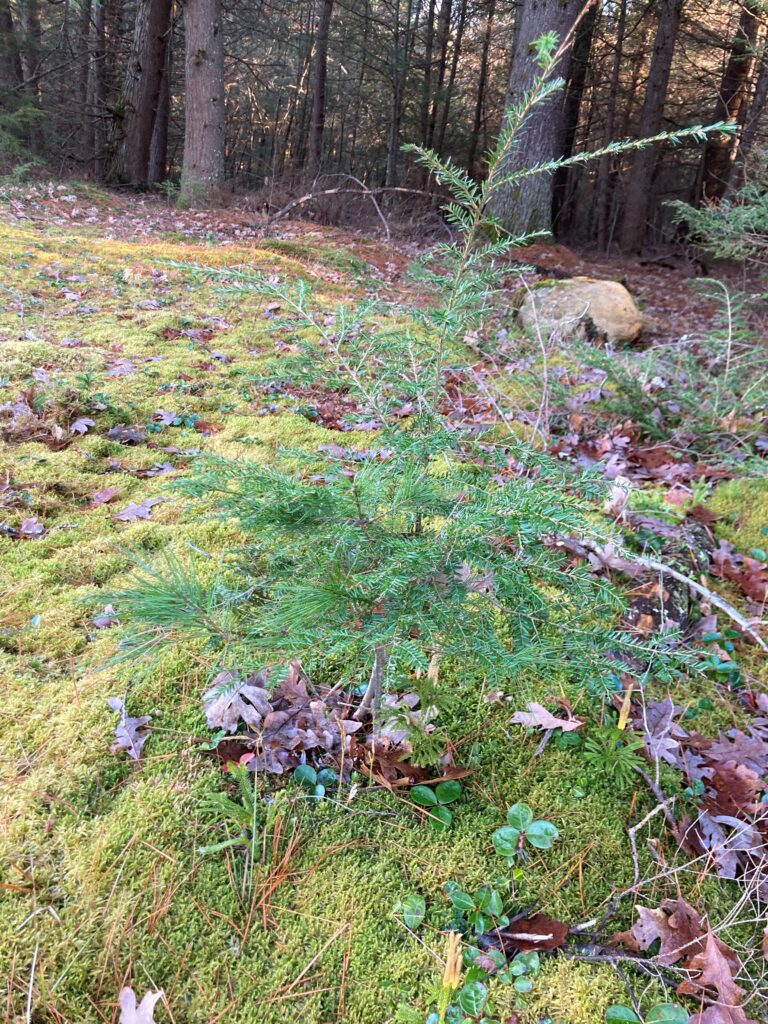
The northwestern edge of the power line corridor is dominated by hemlocks, which retain their vibrant green needles, but behind them the hemlocks are all bare and a few red oaks are mixed in. This is somewhat surprising – I would have thought a fast-growing pioneer tree would dominate the edge of the forest and hemlocks would mostly be deeper in where their shade tolerance gives them an advantage. The ground on the edge of the forest features at least three distinct kinds of moss, but further in the ground is bare save for a few needles and oak leaves.

Hemlock on the edge of the forest          Moss

Two more types of moss

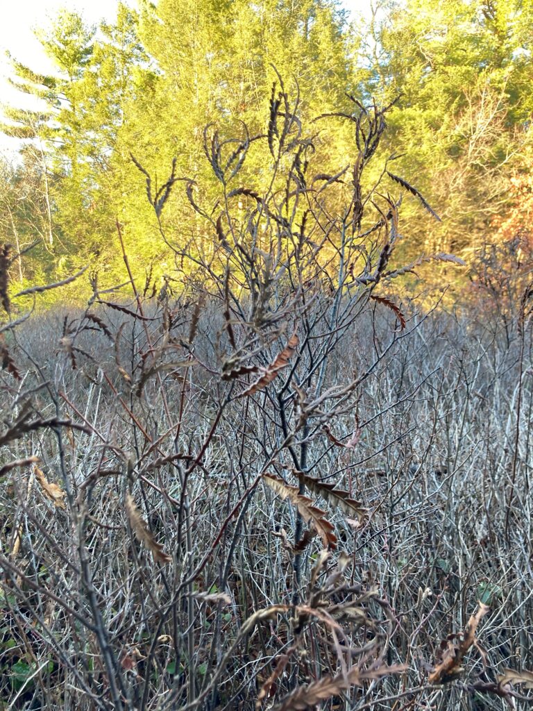
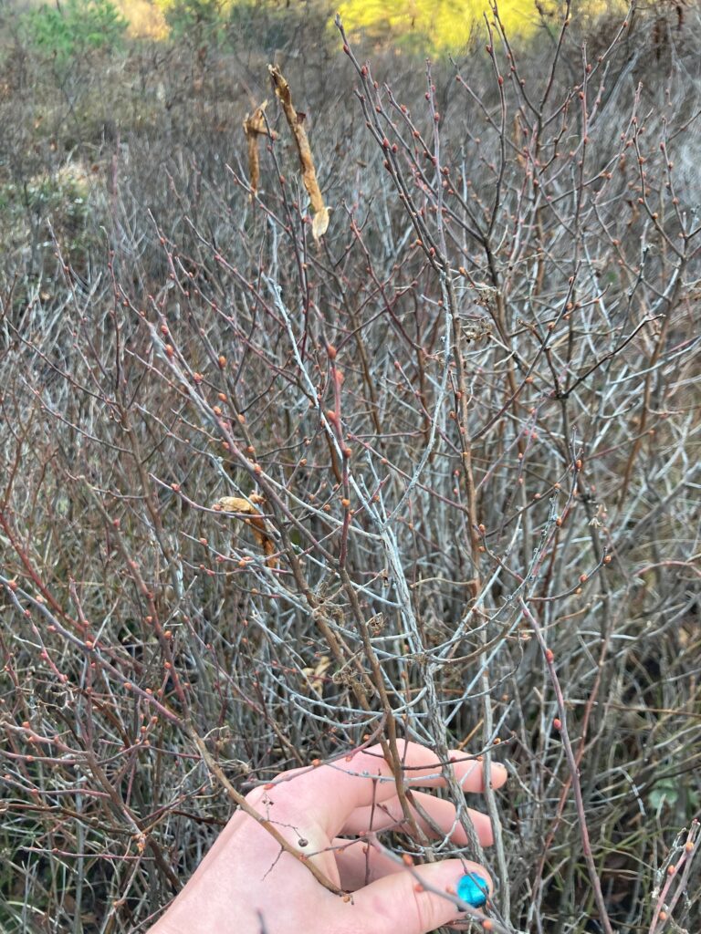
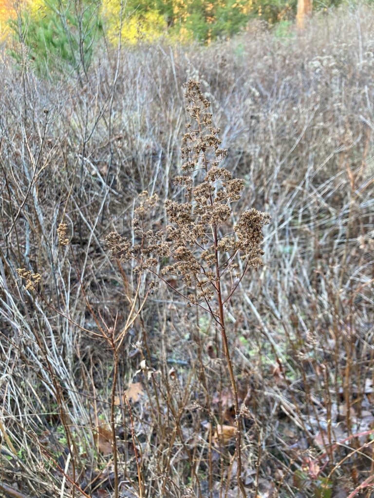
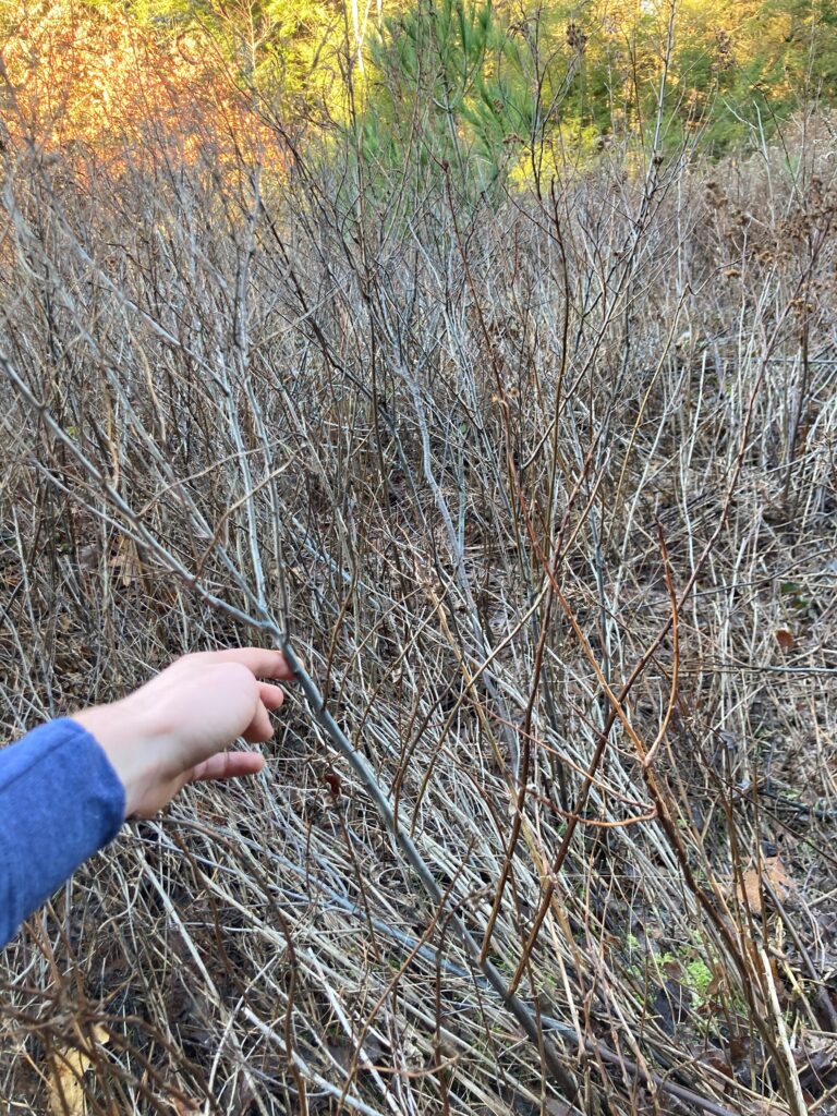
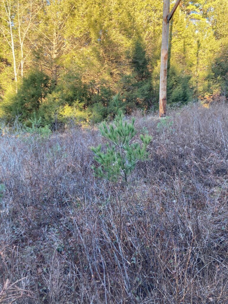
The grass on the access road is matted down in the tire ruts, and much of it has dried out. Off the track beneath the towers there are a variety of low shrubs (pictured below). I was only able to identify the goldenrod. One spot is matted down; I suspect this is the result of maintenance on the lines. A couple white pine saplings are scattered among the otherwise grey vegetation.

Unidentified shrub                              Unidentified shrub with small red buds

An unidentified shrub; the stem I’m holding on the right has stalks like the picture on the left growing off it

Goldenrod                                              White pine sapling

Matted down area

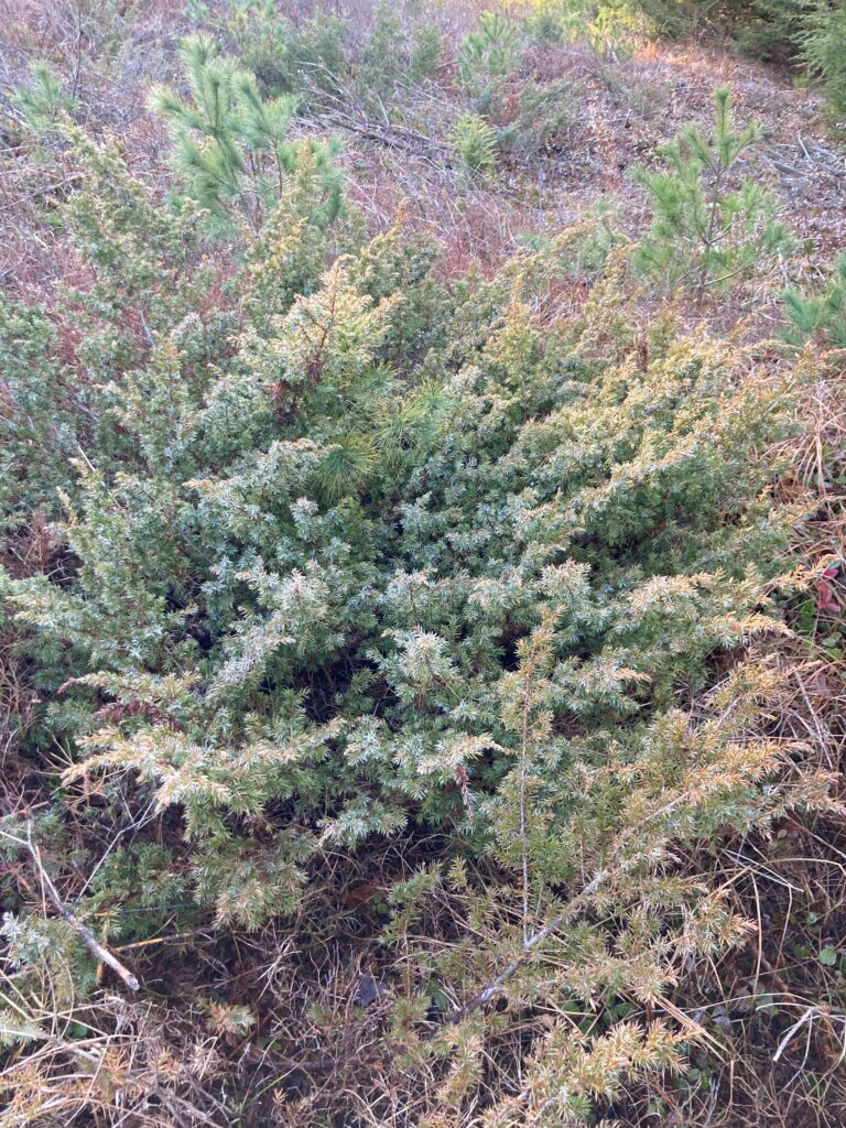
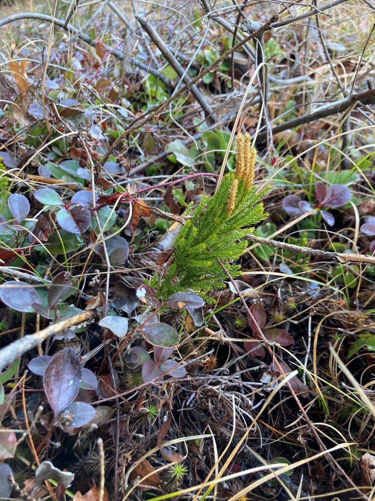
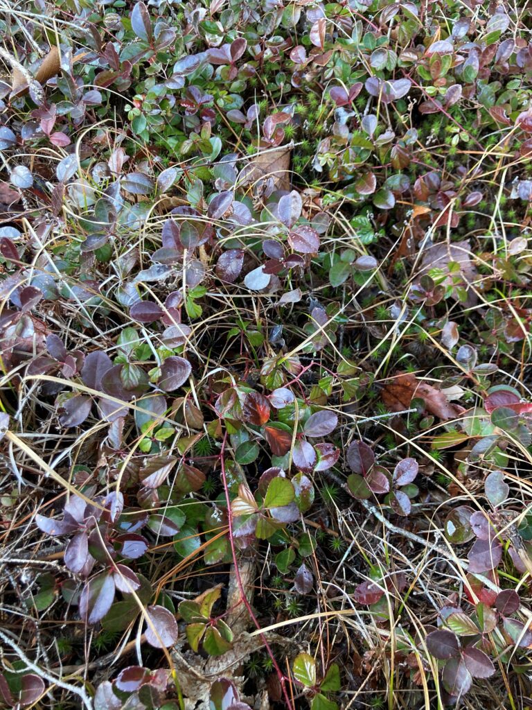
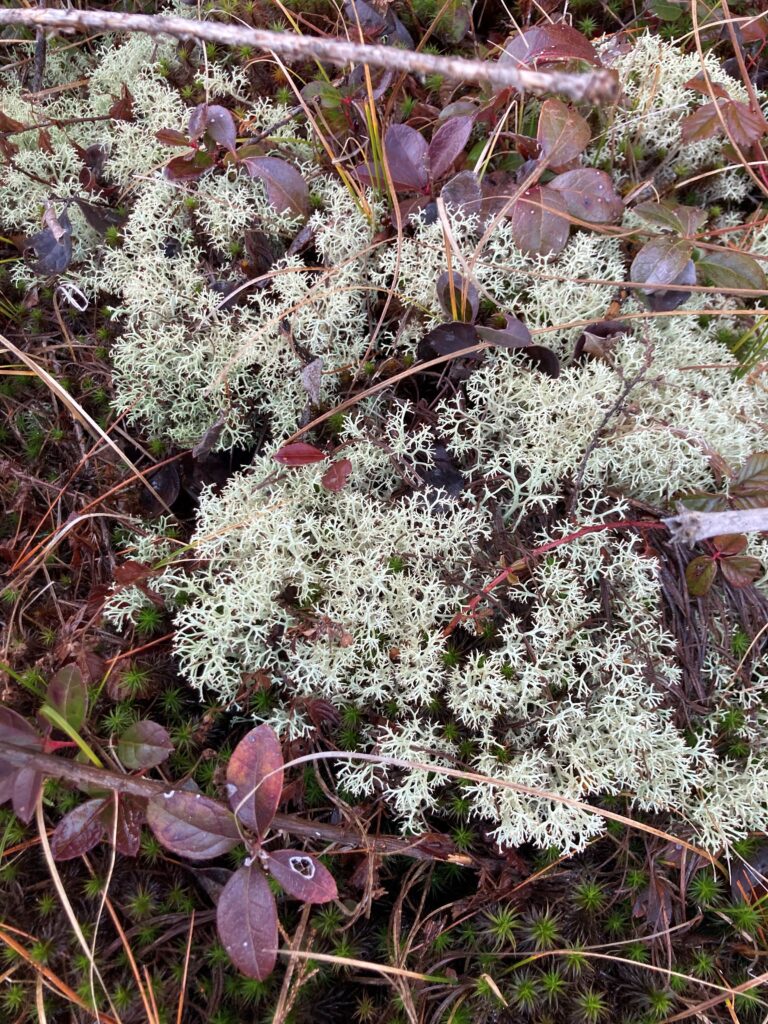
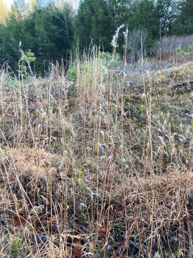
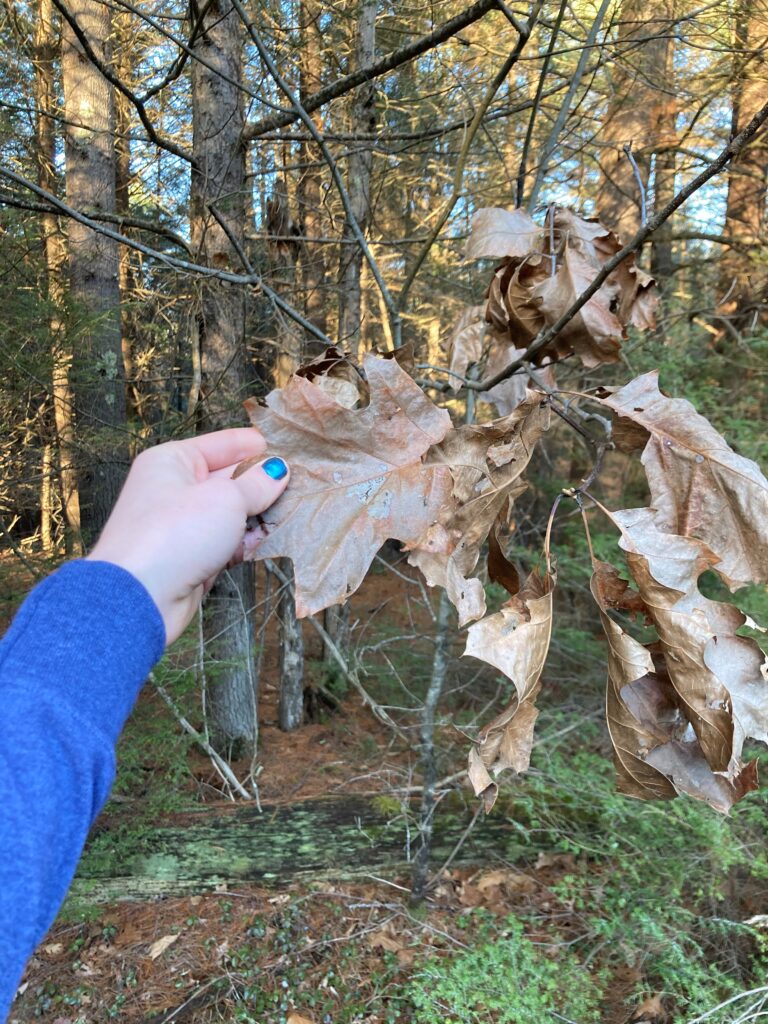
Near the southeast edge of the corridor there are a handful of small junipers, as well as some ground-level plants with green and red leaves, a type of moss I hadn’t seen beforesome lichen (which I’ve never seen growing in dirt), and some grass-like stalks with fluff (seeds?) on the ends. The edge of the forest here is predominantly hemlock, with a couple small red oaks still holding on to their dead leaves. Higher leaves on white oaks tend to have deeper lobes, so the shallow lobes of these red oak leaves are likely a sign that the trees don’t receive mush sunlight and need more leaf area to compensate. The interior of the forest contains more hemlocks and a white pine overstory, and the ground is covered in pine needles and the occasional oak leaf.

Two types of junipers

A variety of moss I didn’t see on the other side   Plants with red and green leaves – very festive

Lichen                                           Grass-like plant with tufts of fuzz

Shallow-lobed red oak leaves                   The interior of the forest

Overall, I observed surprisingly little commonality between the species here and at Redstone Quarry. Both sites have juniper and oak, but beyond that they diverge sharply. Reasons for this could include the more recent time of disturbance here, different bedrock compositions, and differing climates.

A small hemlock; I wonder how old it is       I’m not sure what kind of tree this is

All images: Walsh, E. J. (2020). Barre 122 Power Lines [Digital photograph].

I haven’t had a chance to return to the quarry since I made my event map on November 4th. I was hoping to see it once more before I leave but I’m currently in quarantine after being exposed to someone who tested positive for COVID-19 (I feel healthy and they don’t have any symptoms, fortunately), and I’m driving straight back to Massachusetts when I get out to avoid being exposed to the virus on campus. However, before I went into quarantine I paid a visit to the Silver Special Collections, housed at the Billings Library, to research the history of Redstone Quarry. I would like to thank the librarian Prudence Doherty, who was invaluable in assembling primary sources for the information below.

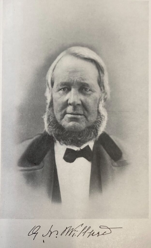
Redstone quarry was known as Willard’s Ledge during its history as a working quarry. The Willard family, who gave it its name, lived on Willard Street, off of which the quarry is found. Levi Willard, the landowner, opened a successful quarry on the site in 1805. Following his death his son Guy N. Willard assumed control of the quarry and built it into “one of the most famous [quarries] in the state” (Carleton, p. 470). It employed 50 men by 1882 and provided stone for the Cathedral, the Methodist Church, much of UVM’s Redstone Campus, and numerous other construction projects.

Guy Willard, from Adams, First Annual Report on the Geology of the State of Vermont.

Guy Willard married Bulah Bishop in 1836, and the couple had three children before her death in 1843: Eliza A., Hymon G., and Hollis B., who died at age four. Hymon pursued a career in civil engineering, but returned home and took over his father’s business just prior to his 1892 death. Around this time the city of Burlington also operated a rock crusher at the site, which was used to crush gravel for streets. In November 1894 the shed it was housed in caught on fire, and the damaged crusher was relocated to the dock in April of the following year.

A Blake stone crusher, as used at the quarry

After Hymon Willard, the quarry’s proprietors are unclear, but in 1958 the University of Vermont purchased the site from Robert Patterson at a price of $500 to use “for geology class study purposes” (UVM Board of Trustees, as cited in UVM Trustees Vote to Buy Quarry, Accept Ski Project). The University of Vermont had conducted field trips to the location since at least 1935, and college students visited the site in 1890 or earlier. It is now managed as a natural area by the University of Vermont, and is a frequent destination for class trips thanks to its interesting geology and its proximity to campus.

The “redstone” at Redstone Quarry is referred to by a confusing variety of names, including “red sand-rock” and “Winooski marble.” However, scientifically it is neither sandstone nor marble; it is principally dolomite and Monkton quartzite. The transition between the two is characterized by ripples and stripes, answering the question I had about the pattern part way up the cliff face. My hypothesis that it is the same dolomite as Rock Point was correct – dolomite bedrock extends throughout much of Burlington and the surrounding area.

I’m not sure when I’ll be able to visit the quarry next, but expect more posts in the upcoming months.


Works Cited

(1890, April 24). Morrisville News and Citizen. https://www.newspapers.com/clippings/download/?id=62601494 [p. 3]

(1892). Twenty-Seventh Annual Report of the City of Burlington, Vermont. Burlington, VT: Free Press Association.

(1894, November 12). City and Vicinity. Burlington Daily Free Press. https://www.proquest.com/docview/1949124155/9CB67C5F367A4D25PQ/4?accountid=14679 [p. 6]

(1895). Thirtieth Annual Report of the City of Burlington, Vermont. Burlington, VT: Free Press Association.

(1895, April 26). City and Vicinity. Burlington Daily Free Press. https://www.proquest.com/docview/1949124155/9CB67C5F367A4D25PQ/4?accountid=14679 [p. 8]

(1896). Thirty-First Annual Report of the City of Burlington, Vermont. Burlington, VT: Free Press Association.

(1935, October 17). Burlington Clipper. https://newspapers.com/clippings/download/?id=62600900 [p. 3]

(1958, June 14). UVM Trustees Vote to Buy Quarry, Accept Ski Project. Burlington Free Press. https://search.proquest.com/hnpvermontcollection/docview/1954613082/E5111963E76B4215PQ/11?accountid=14679 [p. 11]

Adams, C. B. (1845). First Annual Report on the Geology of the State of Vermont. Burlington, VT: Chauncey Goodrich. [p. 58]

Beers, F. W. (1971). Atlas of Chittenden Co Vermont. Rutland, VT: Charles E. Tuttle Company.

Carleton, H. (1903). Genealogical and Family History of the State of Vermont. New York, NY: The Lewis Publishing Company. [p. 470-471]

Child, H. (1882). Gazetteer and Business Directory of Chittenden County, Vermont for 1882-83. Syracuse, NY: The Journal Office. [p. 105]

Hitchcock, E., Hagar, A. D., Hitchcock, E., Jr., & Hitchcock, C. H. (1861). Report on the Geology of Vermont: Descriptive, Theoretical, Economical, and Scenographical (Vol. I). Proctorsville, VT: Albert D. Hagar. [p. 338]

Hitchcock, E., Hagar, A. D., Hitchcock, E., Jr., & Hitchcock, C. H. (1861). Report on the Geology of Vermont: Descriptive, Theoretical, Economical, and Scenographical (Vol. II). Proctorsville, VT: Albert D. Hagar. [p. 751, 773-774]

Keith, A. (1923). Cambrian succession of northwestern Vermont. American Journal of Science, 5th series, 5 (26), 97-139. https://ngmdb.usgs.gov/Geolex/UnitRefs/WinooskiRefs_4440.html

Lathrop, W. (2018). Finding Burlington’s Past in Redstone Quarry. Retrieved November 21, 2020, from https://enjoyburlington.com/redstone-quarry/

Michaud, D. (2016, January 15). Blake Jaw Crusher. Retrieved November 21, 2020, from https://www.911metallurgist.com/blog/blake-jaw-crusher

Steward, D. P. (1973). Geology for Environmental Planning in the Burlington-Middlebury Region, Vermont. Montpelier, VT: Water Resources Department. [p. 40 and plate II]


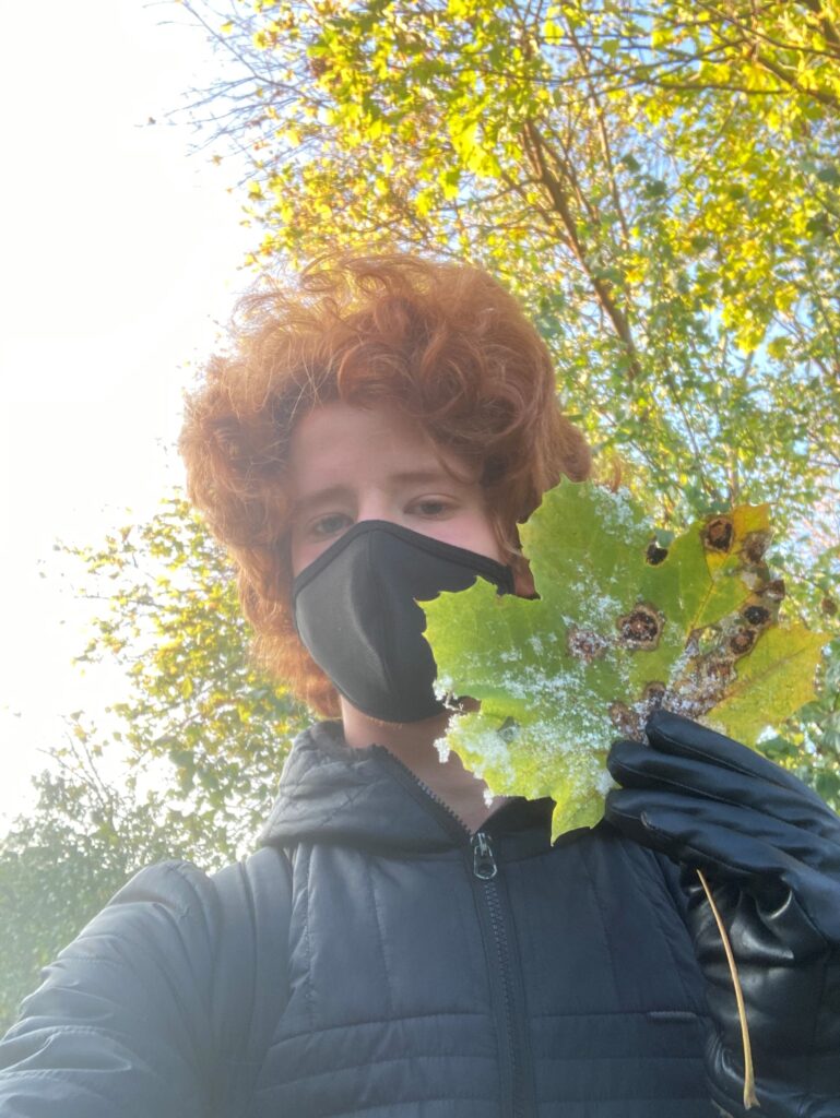
I paid the quarry a visit on a chilly Wednesday morning a few days ago. Patches of granulated snow dot the ground but the water hadn’t frozen yet. The leaves of the Caucasian stonecrop are tinged with red; I wonder how the succulent will survive being buried under snow for months. Many Buckthorn leaves are developing brown spots and yellowing but a remarkable number still remain. The only other deciduous leaves that remain are Willow, Beech (which have turned brown), and some Norway maple on the southern end of the site. Lots of still green Noway maple leaves are scattered about the rock, along with some Red oak.

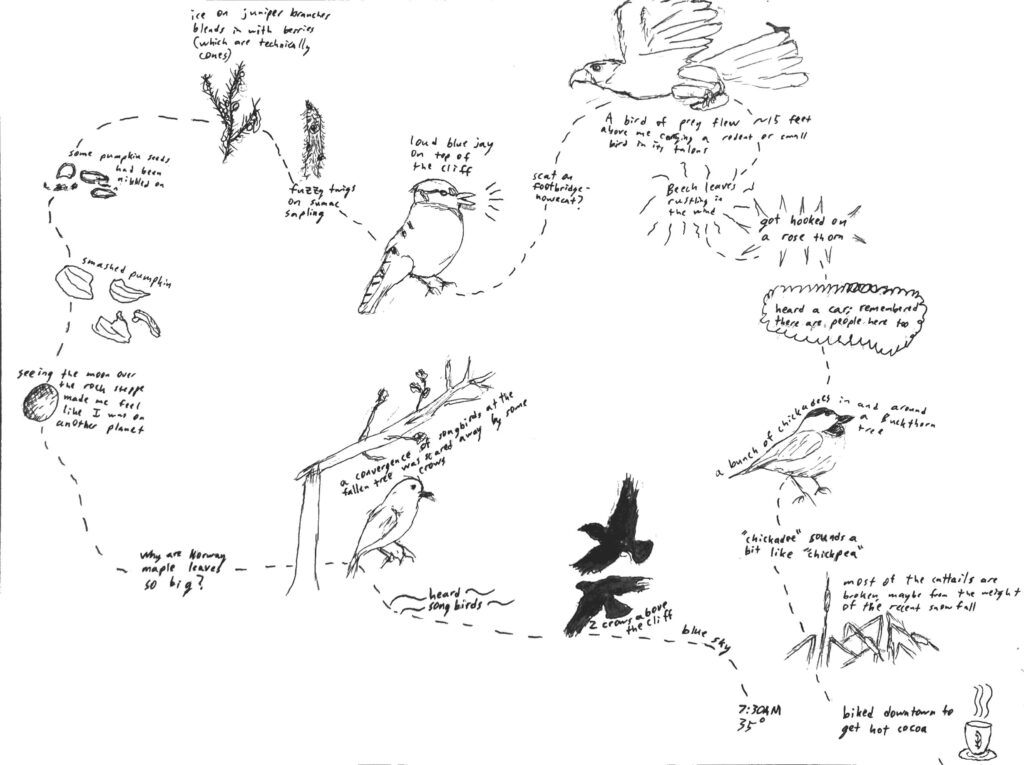
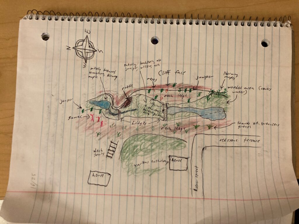
I walked in the opposite direction as I usually do in hopes of seeing the site from a different perspective. My experience is chronicled in the event map below.

I had planned to write a poem but my hands were cold and after I left I didn’t feel in touch with the site enough to do it justice, so in its absence here are some photos:


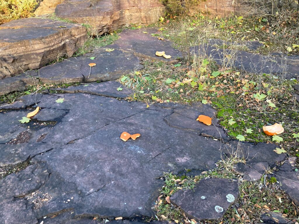
Why are Norway maple leaves so big?         I’m not sure why no one has nibbled on this pumpkin

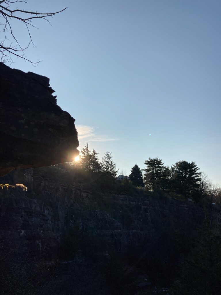
Part way up the rocky crag              Saying goodbye for today

All images: Walsh, E. J. (2020). Redstone Quarry [Digital photograph].

I drew a map of the quarry, with key points and landmarks labeled. The scale may be somewhat off, but I climbed to a high vantage point and cross referenced my sketch with Google Maps.

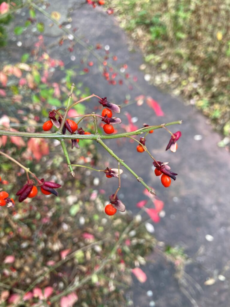
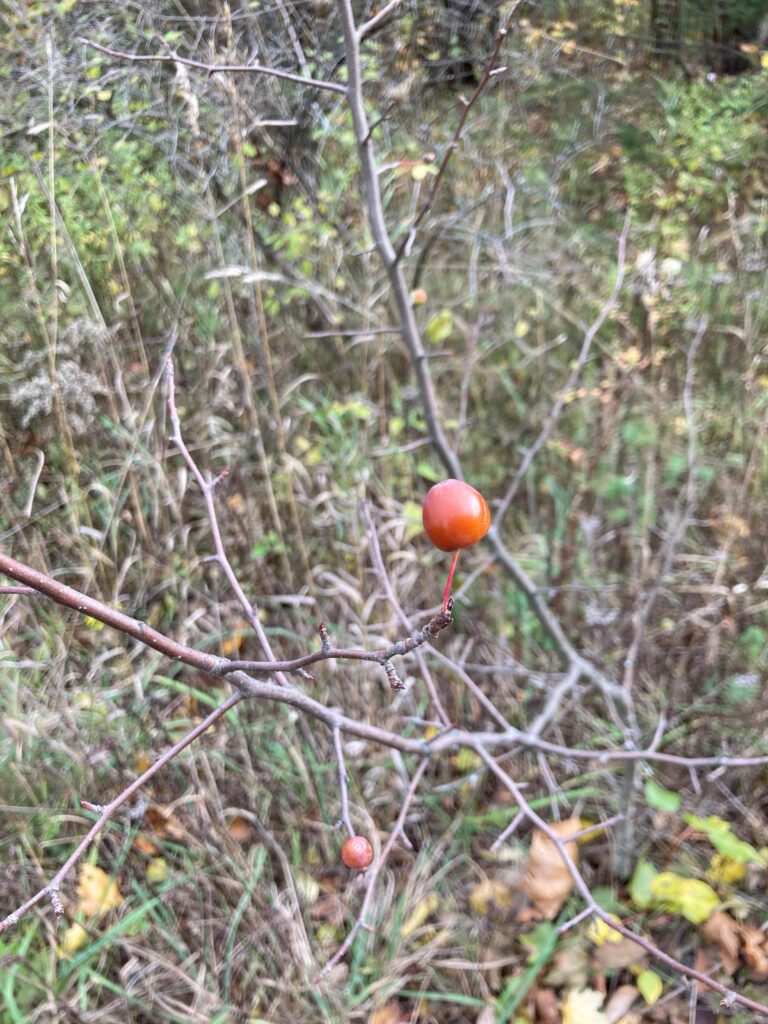
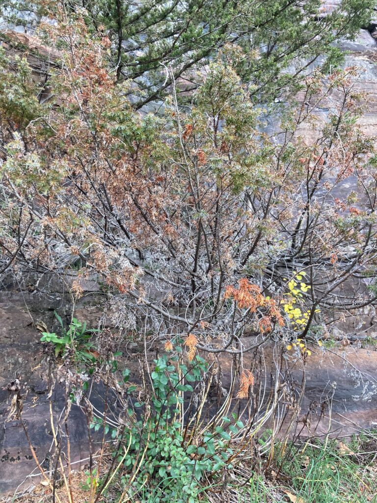
Today was around 45 degrees and overcast. The vegetation is largely similar to its state last week. The unidentified segmented plants growing on the rock west of the wooded area are completely brown and dry, as is most of the grass. Most of the Buckthorn still has its leaves, although on the south side of the southern footbridge its leaves are more sparse, and many have turned yellow and orange near the base of the cliff. Most of the yellow Basswood leaves from last week were gone. The burning bush has numerous red berries. I was able to identify the unknown coniferous tree at the base of the cliff from last week as Common juniper. The leaves of the Norway maples at the southern base of the cliff have turned bright orange. I found a small common juniper sapling that was entirely purple – I wonder what caused this. The sumac looks wilted and dead. Finally, I found a curious sapling that I don’t remember seeing before with a couple firm cherry-like berries.

Basswood, without beautiful yellow leaves    Burning bush berries

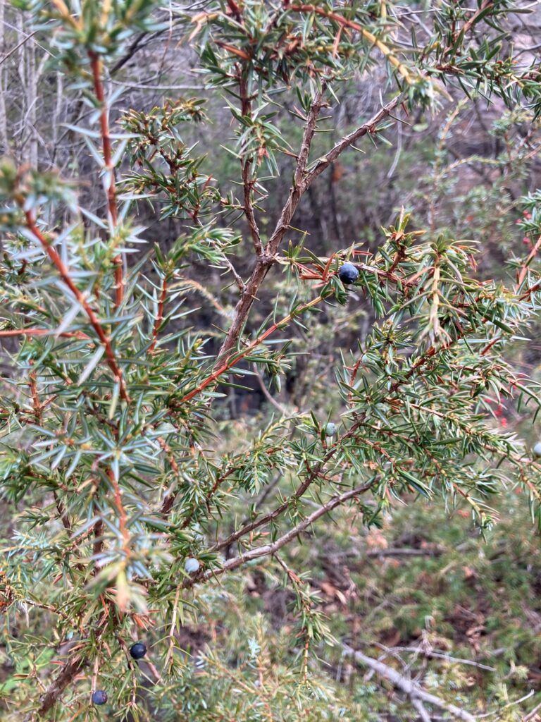
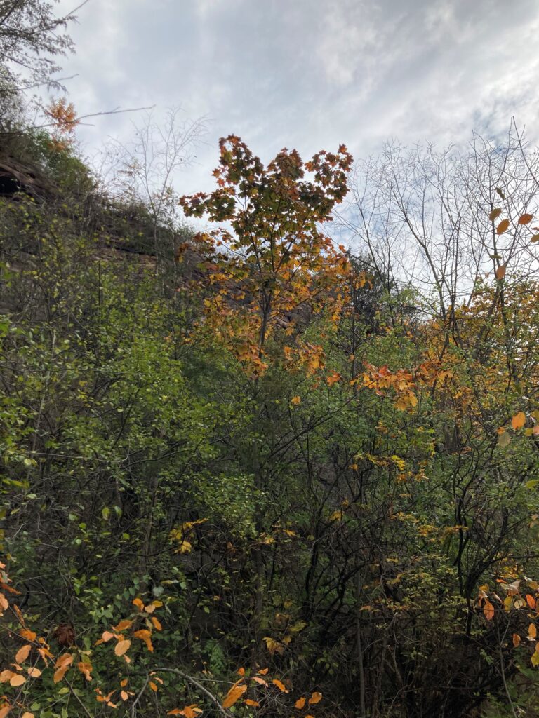
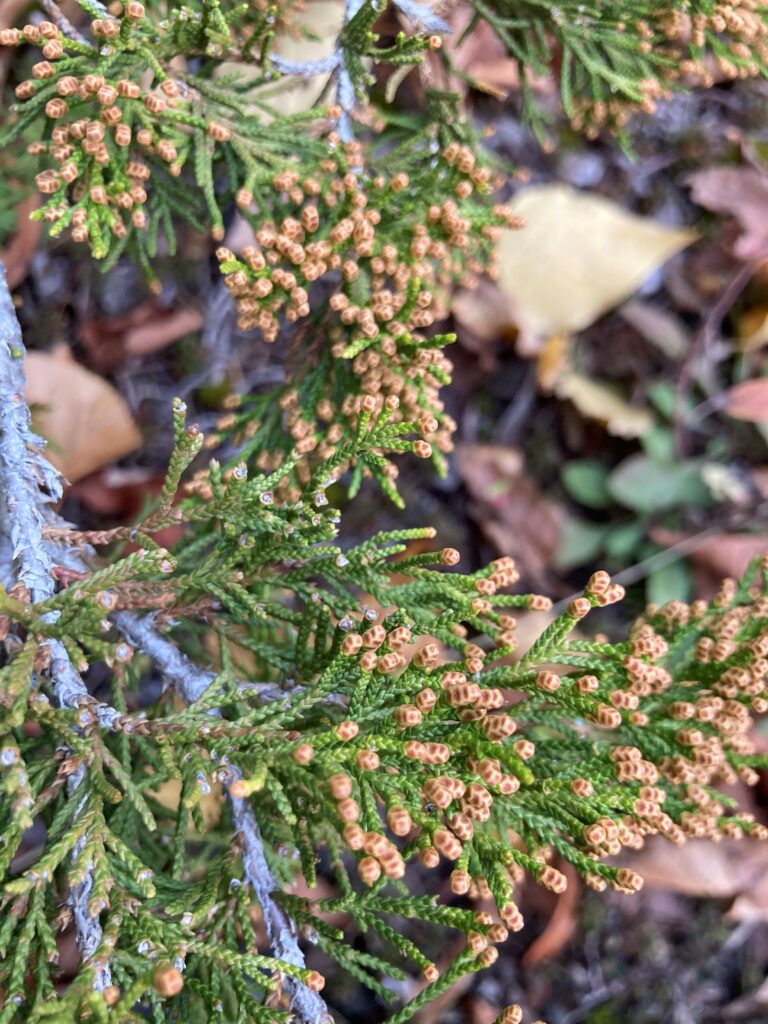
Common juniper (the berries look like blueberries)   Norway maple with orange leaves

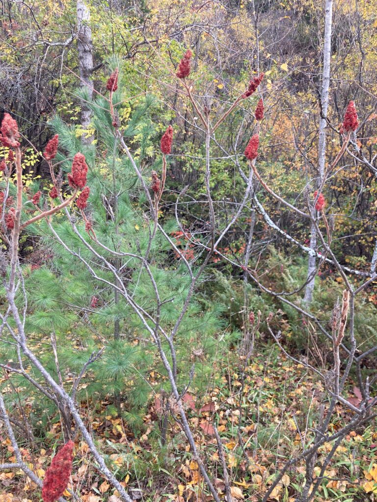
Purple Common juniper sapling, for some reason      Wilty Sumac

Plant with cherry-like berry – I have no idea what this is

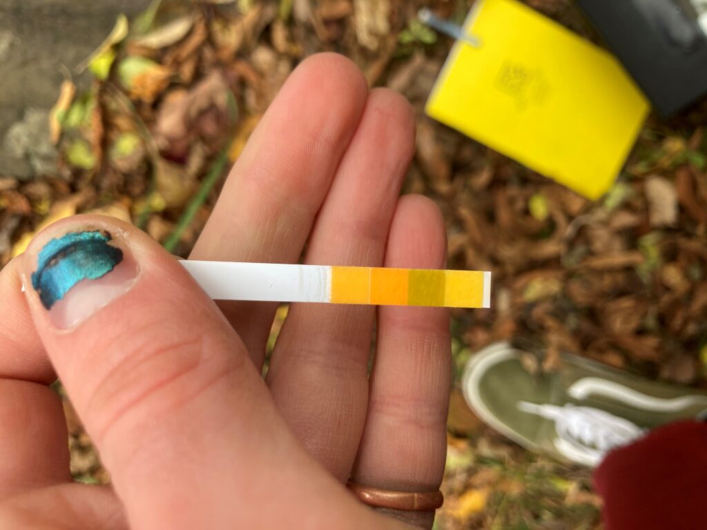
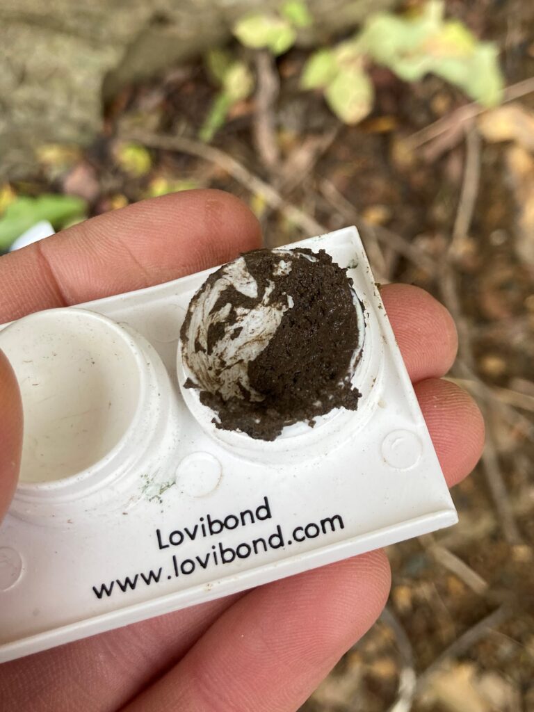
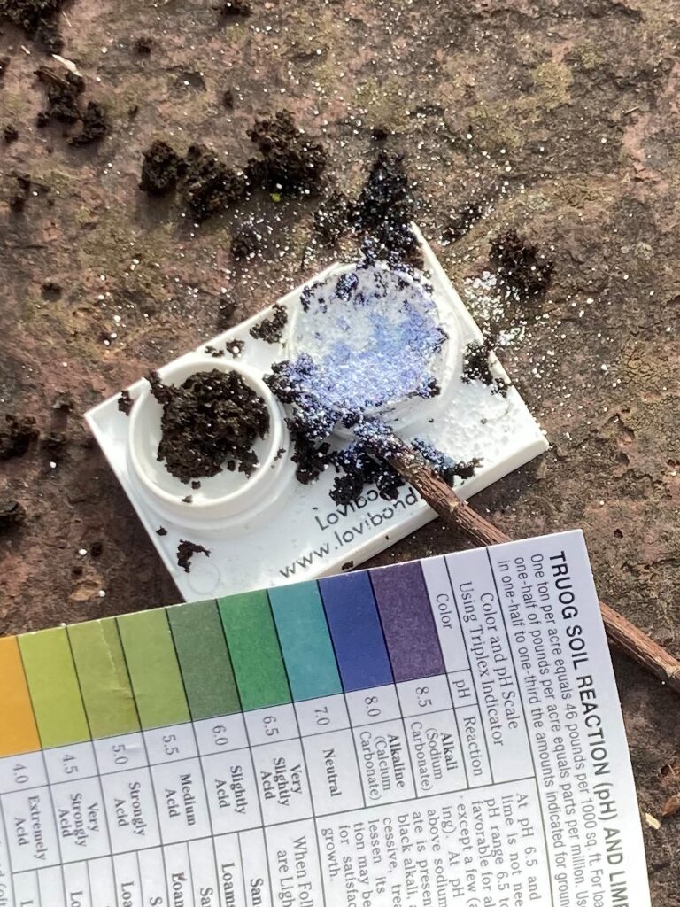
I borrowed a soil pH kit, and I remembered to bring my water test strips, so I did a couple pH tests. I tested the water to the south of the southern footbridge and to the north of the northern  footbridge. I was expecting it to be basic, as a result of the exposed bedrock (which I believe is Dolostone). However, it was around 6.5 in the southern spot and 6 in the northern spot. Many leaves have fallen to the bottom of the relatively shallow pools, and the water likely absorbed acidic tannin from them. I conducted 3 soil tests: one from the soil in the rubble pile, one from a patch of soil a few feet up the cliff, and one from the western edge of the wooded area near the southern footbridge. The first test yielded a pH of 7.5, which is not as basic as I thought it would be, given the amount of Dolostone around it. The second test yielded a pH of 7.8 and the third was 7.7. The soil I used in the first and 3rd tests was fairly wet (no dry soil was available in these spots). This may have meant the samples weren’t able to absorb as much indicator as they otherwise would have, resulting in a less vibrant color and less extreme test reading. Nonetheless, this confirms my hypothesis that the soil is fairly basic, which helps explain the prevalence of Junipers – they are of the same family as the Norther white cedars at Rock point, and are growing on the same Dolostone bedrock.

A pH test strip

Conducting a soil test

All images: Walsh, E. J. (2020). Redstone Quarry [Digital photograph].

October 18th Update

Today I had planned to investigate the pH of the water in the wetland area and of the soil and rock, but I don’t have a soil pH kit yet and I forgot to bring test strips for the water. I spent an hour or so walking around and observing the quarry anyways.

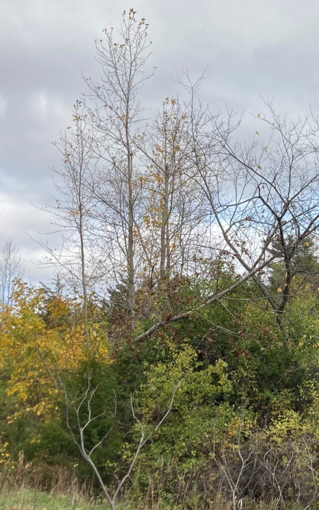
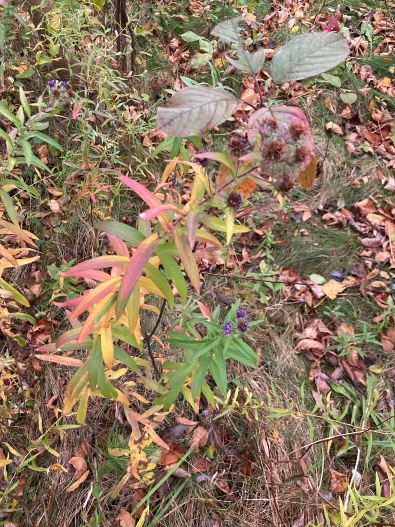
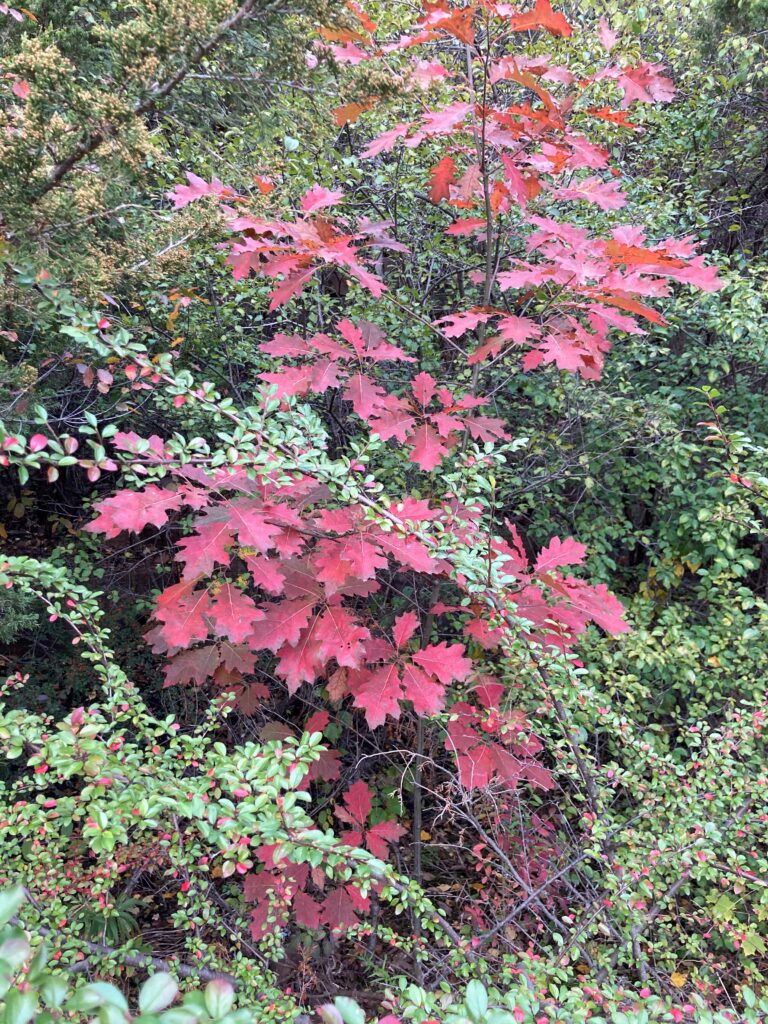
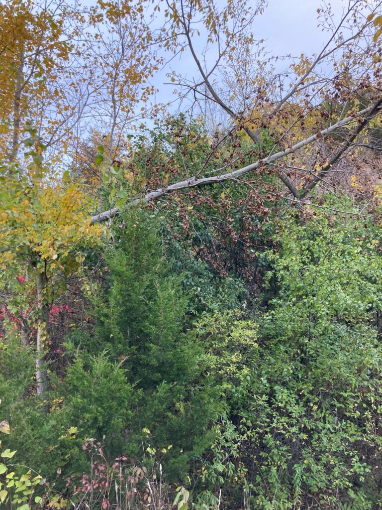
Most of the changes I observed had to do with the foliage. A few Buckthorn plants had lost their leaves, and a few others had turned yellow, but most looked only slightly wilted. The ones with yellow leaves were all on the far side of the wetland, closer to the base of the cliff – I wonder if the soil quality or bedrock makeup had something to do with their leaves turning earlier. The leaves of the willow, Basswood, and beech trees were also turning yellow. Most of the asters had wilted and turned brown, and many of their leaves had turned yellow and red. The needles of a coniferous tree part way up the cliff face were turning brown and falling off. Next time I’m there I’ll try to identify it more conclusively. The tips of the leaves of a few Juniper trees had turned brown, but their bases were still green – I wonder what process this is. The leaves of the White oak saplings have turned a deep lustrous red. Many of the leaves of a plant I was unable to identify last week are also turning red. In addition to the changing foliage, I also noticed a deciduous tree that had half fallen over. I’m not sure how recently it fell (maybe it was a casualty of the recent rain and wind), and I wasn’t able to identify it.
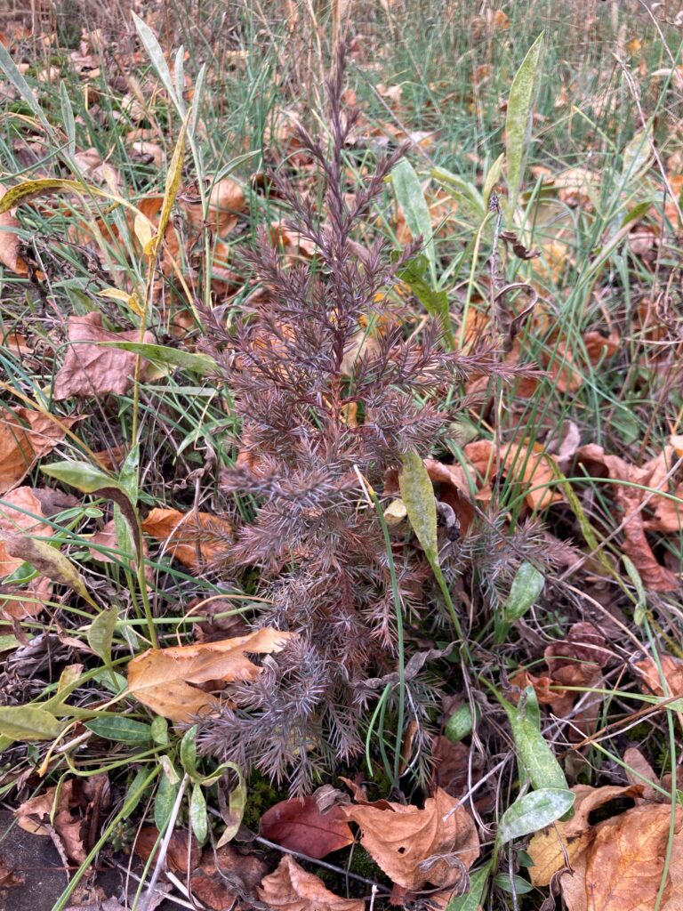
Aster                                                    Conifer losing its needles

Juniper leaves turning brown                 Oak sapling

An unidentified plant                                 A partly fallen tree

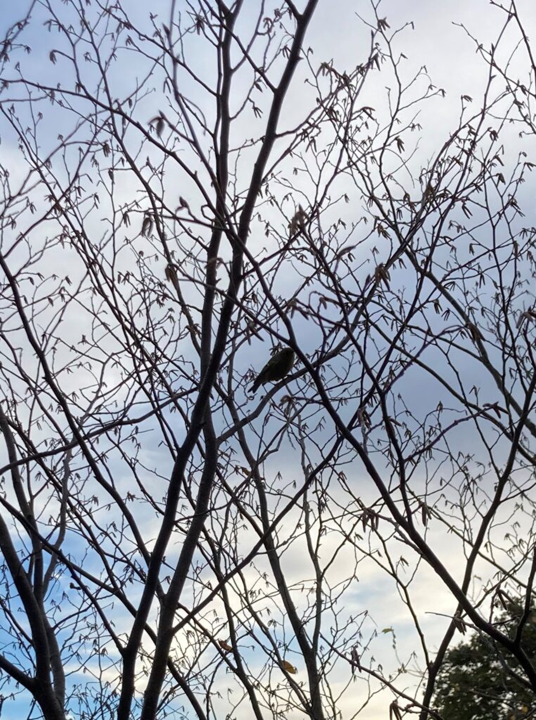
A murder of crows passed overhead while I was observing the plant life. I don’t think crows migrate, so they were probably just traveling locally. I also heard chickadee and bluejay songs, and saw a small tan-colored bird with a tufted head flitting between the branches of a beech tree.

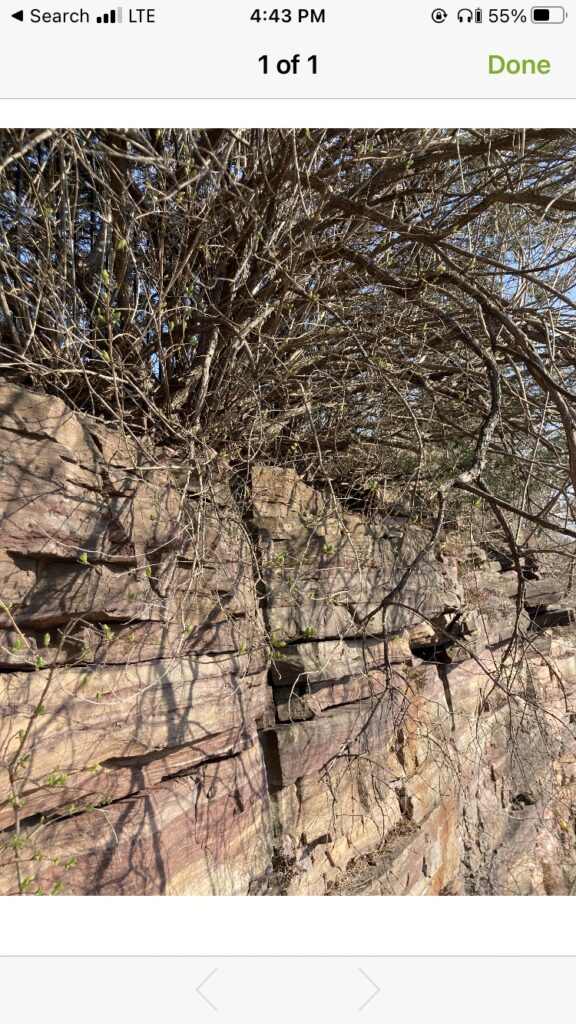
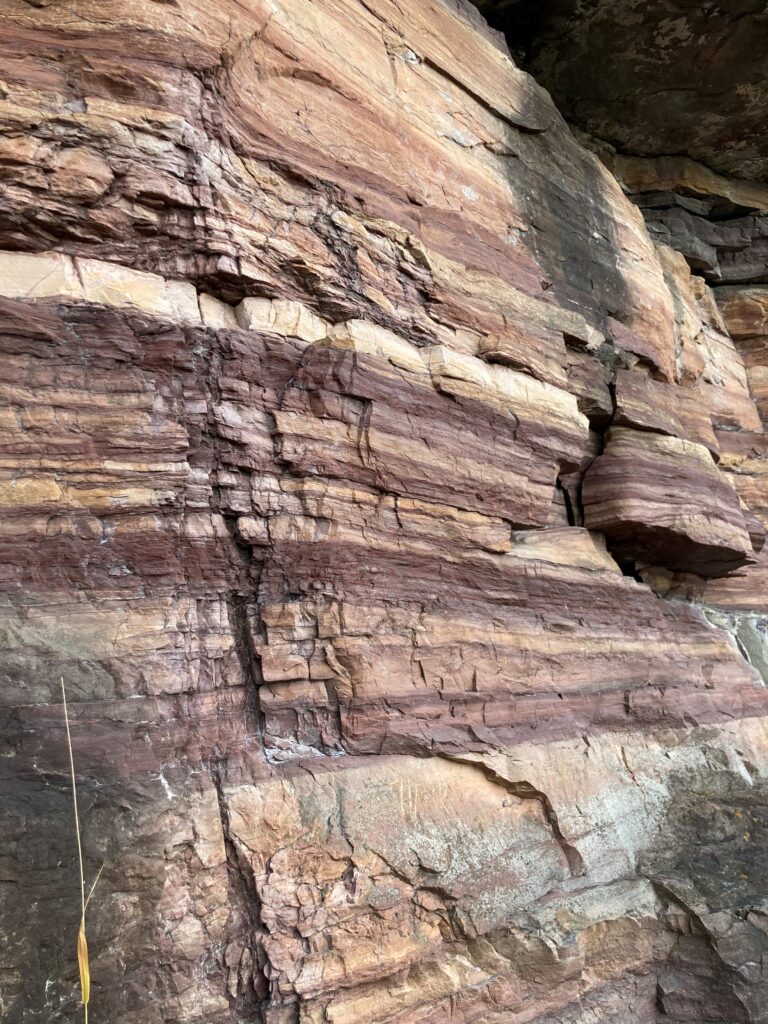
While climbing part way up the cliff to get a better view of the whole quarry I noticed an distinct pattern of red, orange, and white stripes in the rock. The rock looks similar to the Dunham Dolostone I observed at Rock Point, but I’m caused the stripes. I would like to do more research into the site’s history as a quarry – jagged breaks in the rocks raise questions about the style and extent of mining.

The small tan bird perched in a tree         Stripes on the cliff face

All images: Walsh, E. J. (2020). Redstone Quarry [Digital photograph].

Older Posts »

Skip to toolbar