
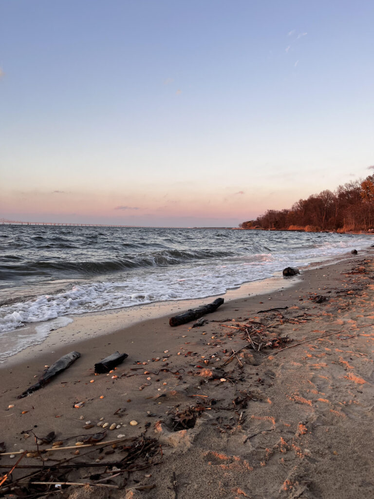
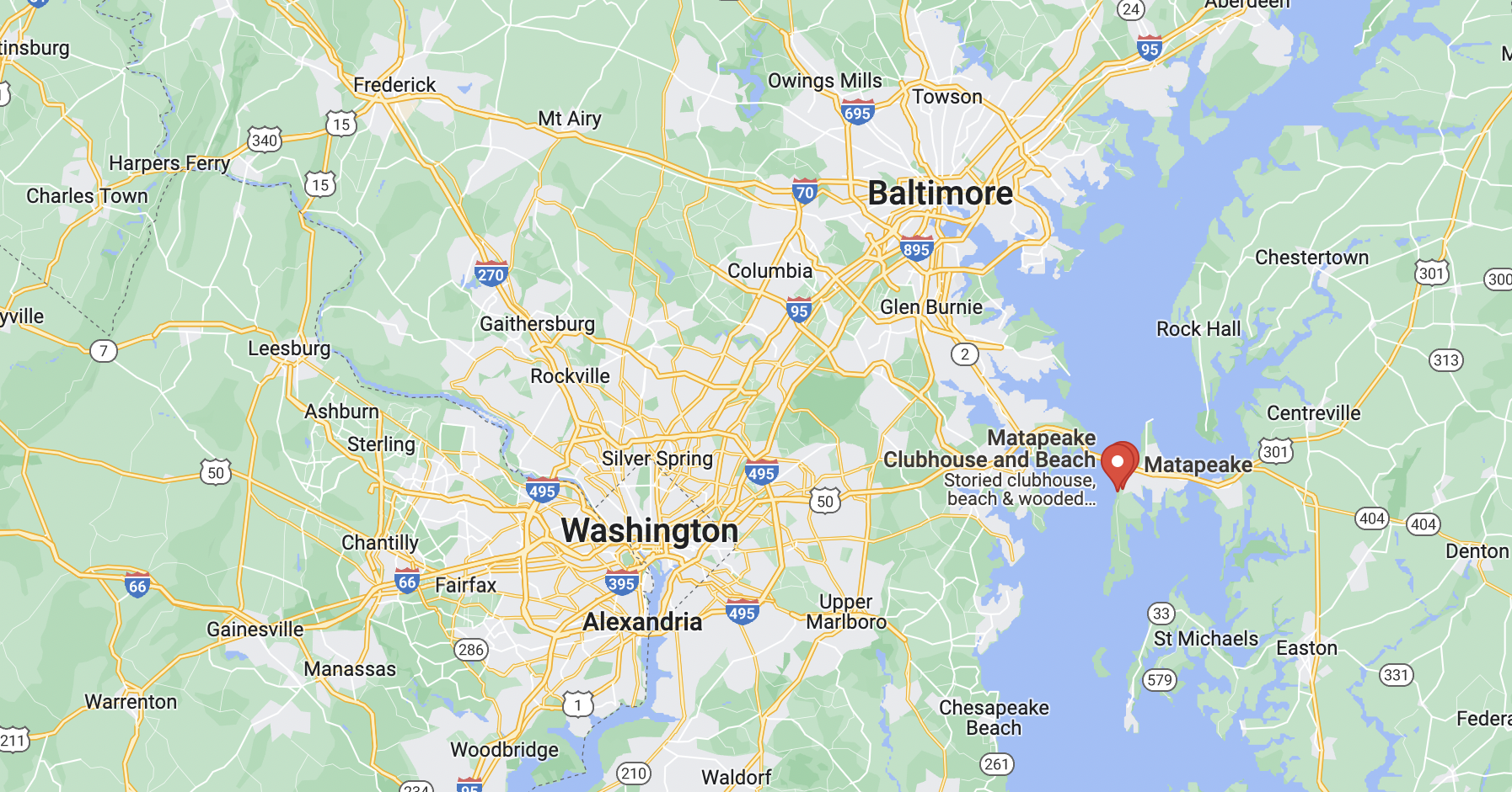
Matapeake Beach is a five-minute bike ride from my house. The body of water is the Chesapeake Bay. The picture shows a tide that is lower than usual, given that the bay is not covering the darker-colored wet sand, the small smooth rocks, or the wet dark pieces of driftwood. The moon was in its waxing crescent phase when I took this picture – the new moon passed two days after I took this picture. Spring tides, water waves that are lower or higher than usual, happen after new moons. The moon is close enough to Earth to control the waves of bodies of water with its gravitational pull.
The sun was setting when I took this picture, which was around 4:30 pm. This explains the pastel pink and purple hues in the sky as well as the auburn color of the trees. The sky has pink and purple colors because water droplets, atmospheric gases, dust particles, aerosols, and smog that are suspended in the air are causing sunlight to be scattered in a certain pattern. This explanation about particles in the air causing objects to change color can also be used to understand why the trees have an auburn hue.
Pink and purple sunsets are caused specifically by smog and aerosols. Smog is produced when sunlight reacts with volatile organic compounds (VOCs) and nitrogen oxides. VOCs and nitrogen oxides are emitted from fuel combustion. Fuel combustion is necessary for a majority of automobiles to function. Automobiles powered by diesel fuel, such as large trucks, produce more VOCs and nitrogen oxides. The fact that this color pattern is happening above the bridge makes sense because automobiles are driven over bridges for transportation purposes. Automobile transportation contributes to the strong presence of smog that is being depicted.
~~
I find Matapeake Beach to be a sentimental space because it is a unique natural area in my hometown where I can relax. In the midst of an area that has heavy traffic, Matapeake Beach is a peaceful setting, specifically in the fall, winter, and spring when tourists are not in the area. I go here to gather with my friends and have picnics. I also go here when I need to be grounded and take a break from pressure from my family, friends, and academics. I observe the water, sky, trees, and cars moving on the bridge to feel this way. I also take a walk and touch the rocks and wood on the beach, which I find comforting.
Centennial Woods Phenology Spot
There is not a body of water at my spot in Centennial Woods. Instead, the area is surrounded by eastern hemlocks, red maples, white ashes, and American beeches. Change in foliage is obvious. The ground in this spot consists of organic matter, such as leaves, moss, and decomposed trunks, as opposed to sand, which is inorganic since it is made up of quartz. Smog visibility is not as obvious since trees are covering the sky.
My spot in Centennial Woods is similar to my spot at Matapeake Beach because they both are in close proximity to an urban area. Burlington is located in the most populous city in Vermont. Matapeake Beach is part of the Baltimore-Washington metropolitan area. Both these regions consist of carbon emissions from transportation, which contributes to the presence of smog. Populations in both areas have to deal with an increased amount of respiratory and cardiovascular diseases.