The Salmon Hole
Conor McCourt
November 10, 2019
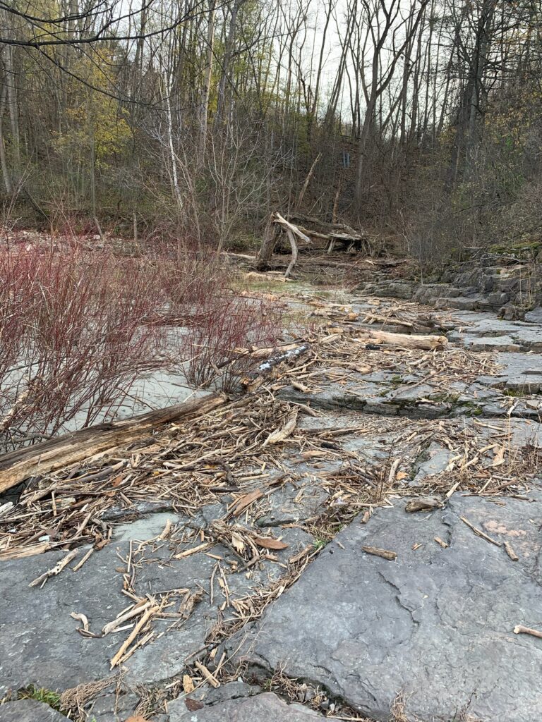
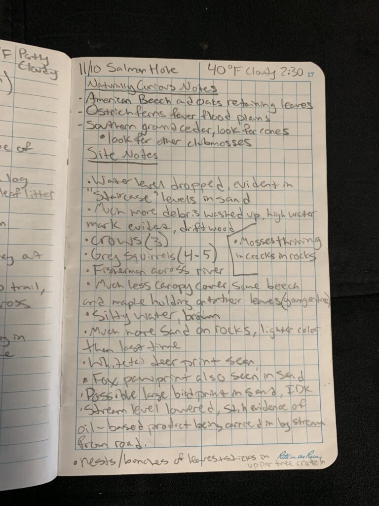
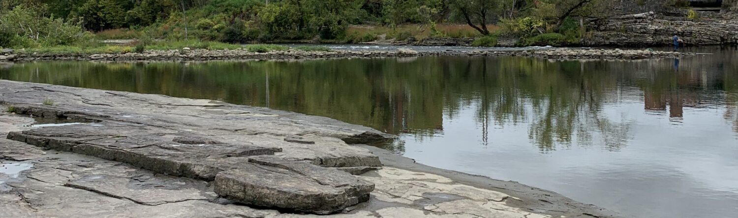
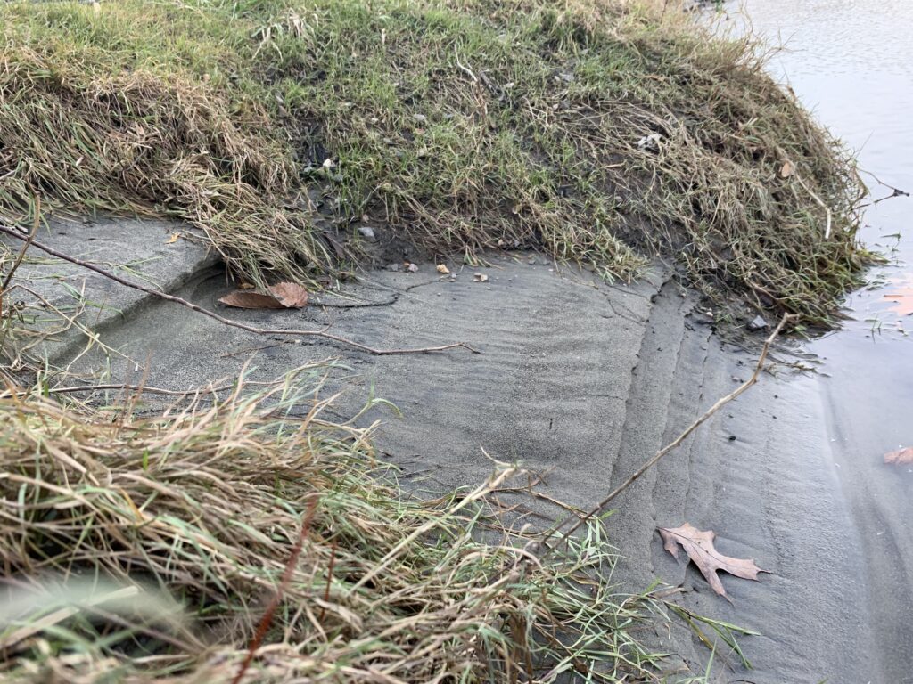
On this visit to the Salmon Hole on Winooski river, it was noted that the water level had dropped significantly over the past week and water levels were extremely high after the big storm around the time of Halloween. The water was quite silty and brown understandably after the storm, but the two fishermen I saw across the river were still confident. Large pieces of driftwood piled up on the shore that brought with them various items of litter such as plastic bags, bottles and even a rubber sandal that showed a fairly evident high water mark. As the water level was receding it deposited large amounts of lighter-colored sand on the rocks and buried some of the vegetation on the shore, and left a staircase-looking appearance in the sand on the shore of the river.
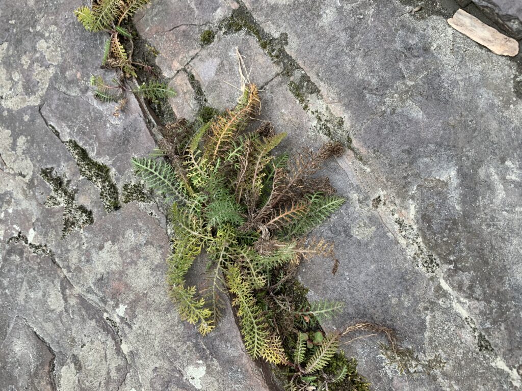
There were many fattened grey squirrels running through the fallen leaves, and 3 crows were seen and heard flying around the treetops. Whitetail deer prints were seen the sand along the shore and the fox print proved that the fox is a frequent visitor to the salmon hole. There was also a large print that appeared to be from a large bird, possibly from a heron. I noticed a few large birds nests high up in the crotch of two branches, probably the home for one of the crows heard cawing from above. Most of the trees had lost their leaves with the exception of a few younger American beech and sugar maple trees that held onto fall a little longer after the first snow. I was surprised to see how many leaves were still green and barely started to change color this far into the season. Various mosses and and ferns were still thriving in the cracks of the rocks living in dense, compacted soils.
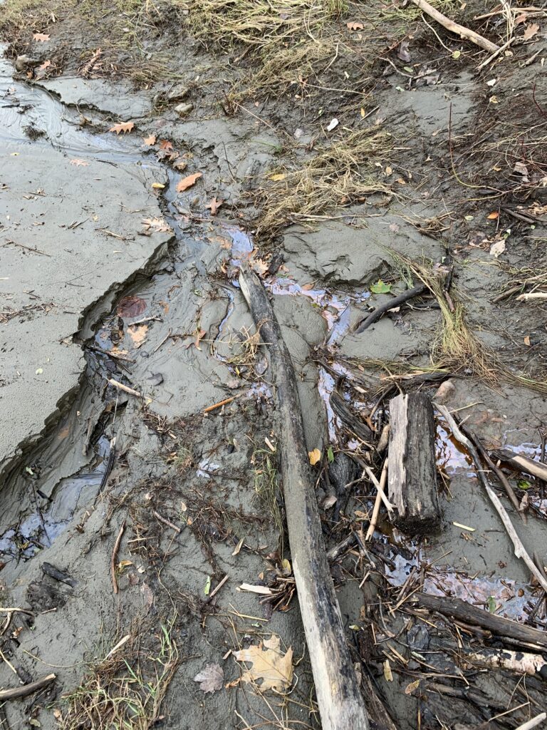
The stormwater stream that leads into the Winooski was kind of an unfortunate sight as there was quite a bit of oil-based product shining on the surface of the stream that has continually been a disappointing sight for me the past few visits here. I took some time to travel upstream a little bit and noticed multiple pieces of cement drainage tubes laying in the stream bed and a bent metal pipe that was drilled into a large flat rock on the edge of the woods. I would guess that this, along with the fact that there is a relatively-young growth forest in between route 7 and the river, might indicate the presence of an industrial mill or factory at some point in history. As for the oil, it seems to be sourced from a combination of past land uses, stormwater drainage, and spillage from the mechanic’s shop across the street.