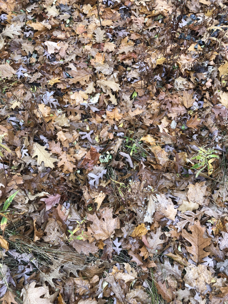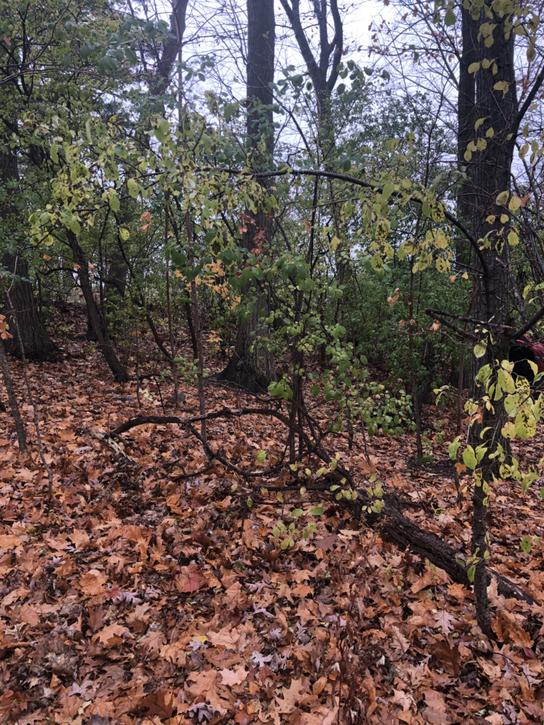
I visited my phenology site today on one of the last days before snow fall. The birds, which I have never quite encountered before, were bustling all about almost in preparation for the storm to come. In some ways I could see the parallels of excitement in the people of Burlington and these birds. The wood thrush was flying around collecting what seemed to be seeds and last-minute morsels before the ground would be covered and frozen over. The mothers of city market were in this same chaotic rush, gathering bread and milk in preparation for their children’s impending snow days. When I visited the woods behind Simpson, I could sense an eeriness to the air, it was very clear that the snow was about to fall and that we should all be ready. In addition to the chilled dampness in the air I could see that many more leaves had fallen from the sugar maples and eastern white oaks and were now on the ground; very few were still clutching to the arms of the tree above. The leaves in the underbrush seemed to blanket the ground and only areas weathered away from man made trail were left barren. I believe that in the coming days the blanket will be a far more white that a decomposing brown that I see now.
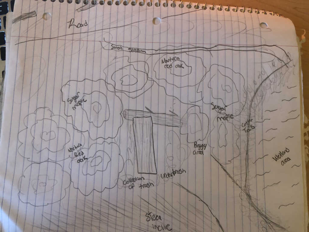
I completed the mapping exercise before and was surprised as to some of the smaller details that I failed to include. There was a small trench that I believe was built to direct water from the steep incline of the surrounding area and into the water retention pond just outside of my phenology site zone. There were also other intricacies that I have not noticed prior. With the initial mapping I was able to visit the site with far more intention and purpose. I was able to take time and observe the changes in topography and areas that contained a bit more puddle or tiny streams of water. This exercise certainly deepened my knowledge and connection to this location.