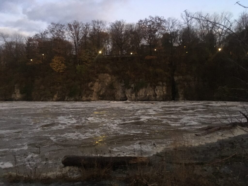
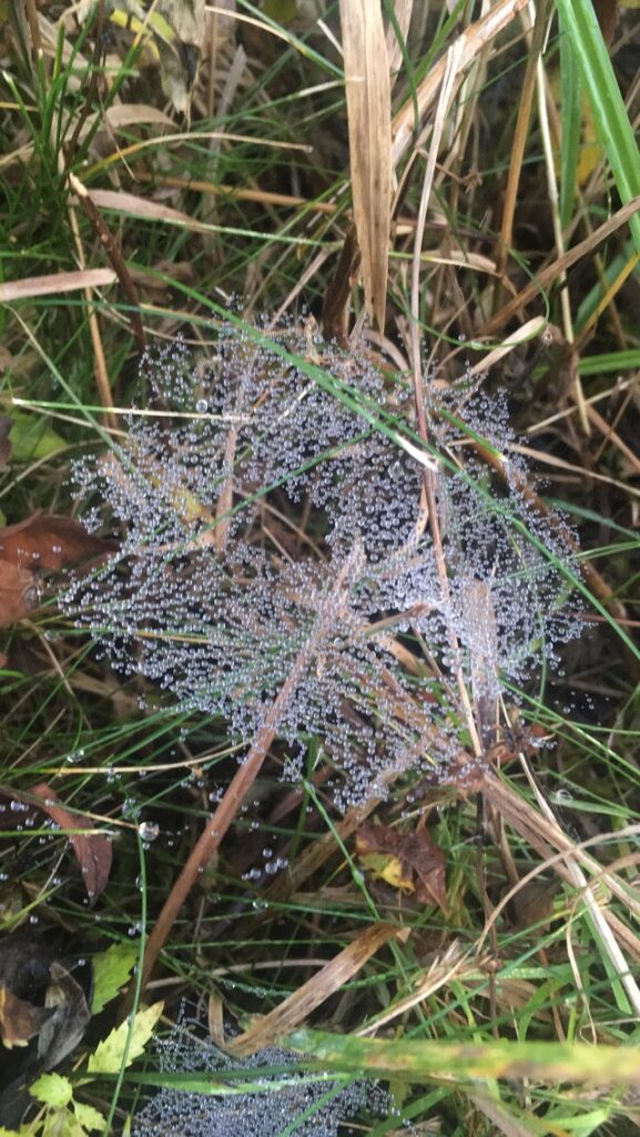
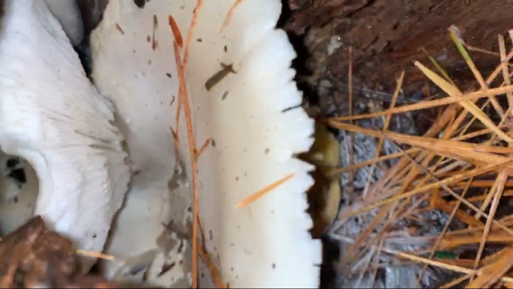
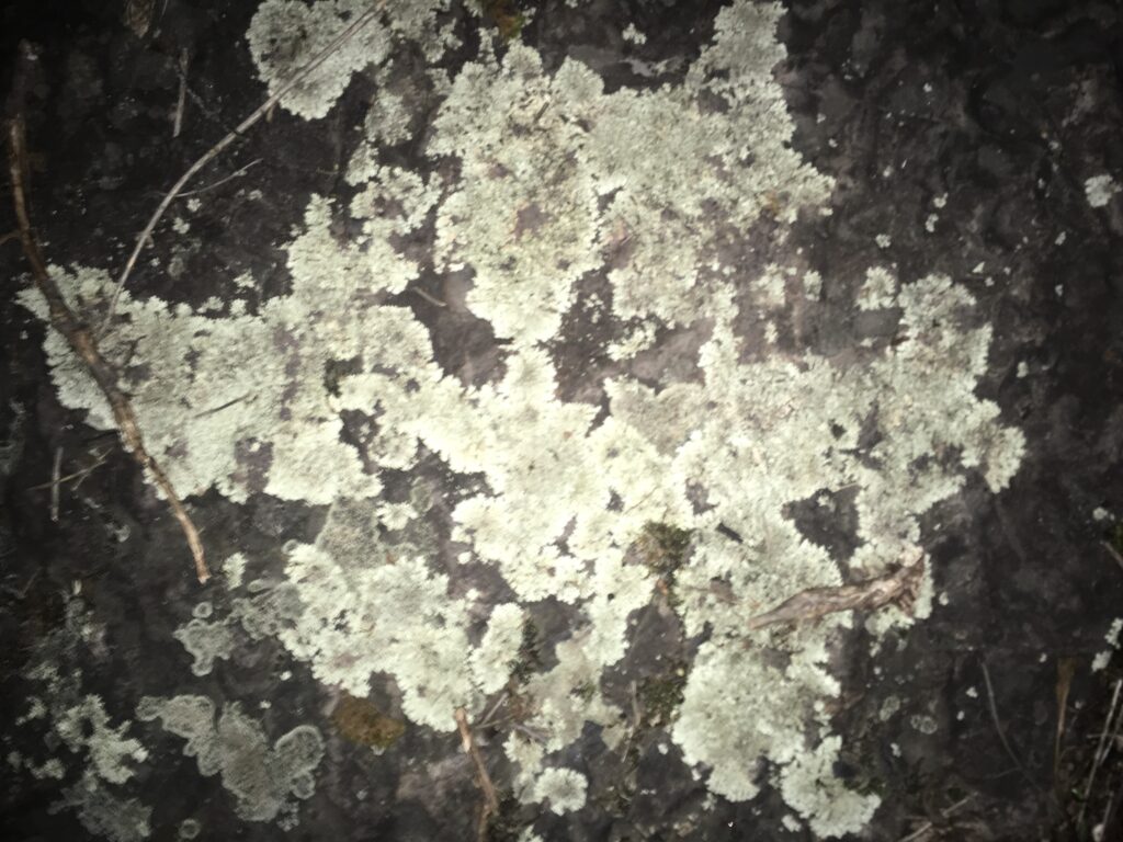
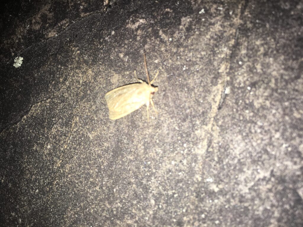
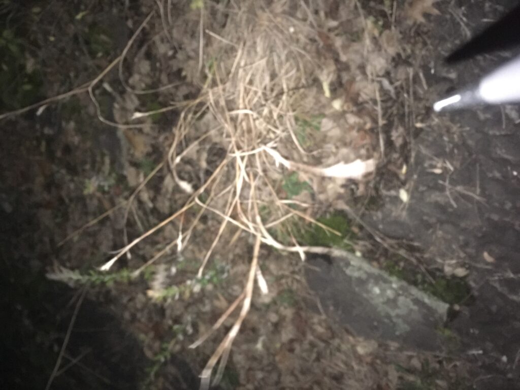
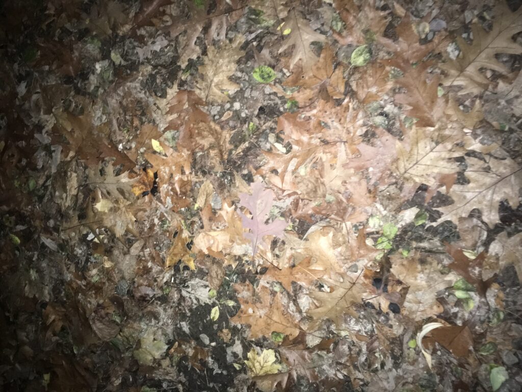
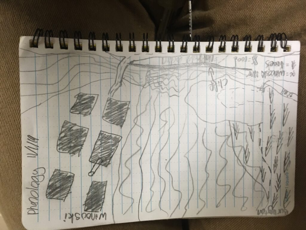
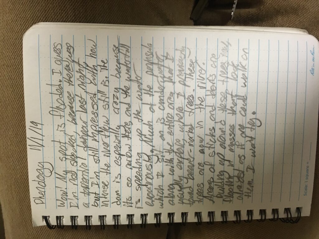
My site has changed a lot since I last visited. The trees have far fewer leaves, and the leaves that covered the ground in a yellow and red collage only last week have now turned brown. Most noticeably, much of the site is now flooded by a raging river which is at such a high level now that the trees along the river which I had previously found to have been gnawed on by beavers are now standing on land which is completely in the river. These trees were positioned in a way so that floating branches and debris accumulated around them- forming a floating mass that looks almost as though it could be walked on. Because of this flooding (as well as arriving right after sunset), many of the organisms (and signs of animals) that I usually encounter were nowhere to be found. In fact, the only animal life which I saw was a moth. Beyond this lone moth, I also found spiderwebs, a white mushroom growing inside a log, lichen (a symbiosis between a fungus and algae), a dry grass that reminded me of the cheatgrass which covers Nevada, and oak leaves on the ground in the surrounding woods (I had to expand my boundaries to compensate for the flooding). Mapping this area deepened my sense of the place because I began to think more about how the dam on the winooski side affects the current, and how both the Burlington side maintains a large riparian border while the Winooski side provides little to no riparian border. I also began to really think about how the river winds through a small floodplains (and how floods like this can alter the flow of the river from erosion and the deposition of both sediment and large tree trunks). However, I had to seriously edit my map once I arrived, because I hadn’t taken into consideration how the amount of available land to walk on could shrink so much.
