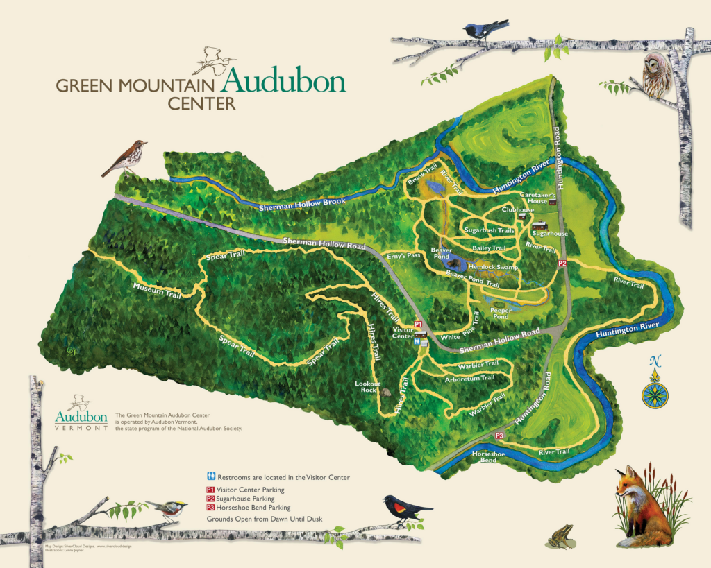
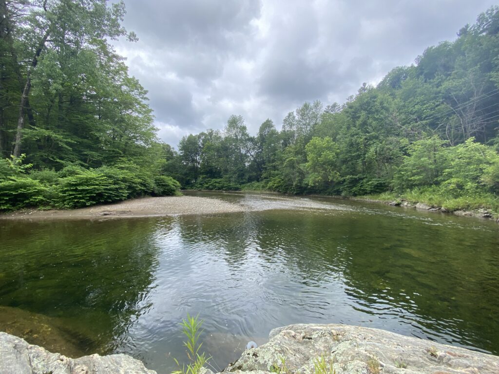
Travel to Huntington, Vermont, and arrive at the Audubon Society parking lot for Horseshoe Bend. A quiet, peaceful location to meander through meadows, and by the Huntington River. A special place to ponder nature and the beauty it possesses.
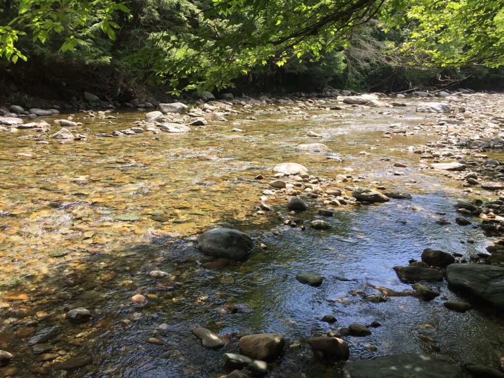
As I arrived this morning the air was cool and clouds covered a good portion of the sky only allowing some light to come through. The light reflected on the water as it bounced and flowed over stones and around boulders. The fresh air smelled cool as if there was rain approaching but it had hints of Summer flowers and as you watched the wind toss the leaves you could find tiny specs of pollen dancing in the air. The water, clear as ever revealed the bottom of the stream so that you could see the numerous boulders and pebbles that make up the stream bed. In the deeper sections, in the shadows of the low-hanging branches, minnows and larger trout were visible. The moss on the rocks edging the stream was soft and lush. Many species of birds could be heard singing nearby. Mushrooms sprouted from the decaying trees and panels of old metal roofing that had washed up rested against the down trees. A paradise, only minimally affected by human presence.
Question Marathon:
- How have the rocks influenced the flow and depth of the river?
- How do landslides affect stream ecology?
- What unique species call this place home?
- Why did the Audubon Center decide to set up here in Huntington, VT?
- What effect does sound pollution have on the ecosystem being so close to the road?
- Why is this an ideal location for a firetruck fill-up spot?
- What impacts do perennial streams have on the economy of the local town?
- Where is all this water coming from?
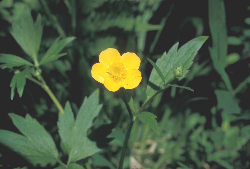
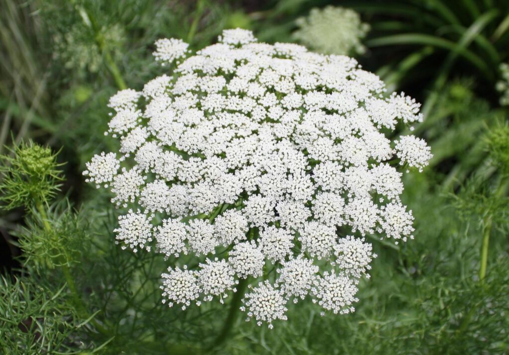
- How have these plants adapted to live so close to this stream?
- Where did these large boulders originate from?
11. How many gallons of water pass through Horseshoe Bend in one day?
12. How has flooding impacted the flow of the river?
13. What draws people to nature?
14. What species of mushrooms grow on decaying trees?
15. Why are there few flowering plants?
16. How has the Audubon choosen to protect this place for future generations?
17. What does it look like in various seasons?
18. How has human recreation affected natural processes that occur here?
19. How does stagnant water impact the stream?
20. What percent of rainbow trout make it here to spawn?
21. What type of forest surrounds the river?
22. How is this stream essential for understanding rainbow trout?
23. Why is poison sumac so abundant here?
24. How do the field and stream ecosystems interact being so close by?
25. How many people visit this location every Summer?
Where does the water for this river come from?
According to the Vermont Department of Environmental Conservation the headwaters of the Huntington River are in Buels Gore, Vermont. The river flows North and passes through many towns, Starksboro, Huntington, and Buels Gore, as it makes its way to intersecting the Winnoski River which is where it empties and ends.
Department of Environmental Conservation. (n.d.). Huntington River. Retrieved June 24, 2022, from https://dec.vermont.gov/sites/dec/files/documents/WSMD_mapp_13HuntingtonRiver.pdf
When I return I would really like to investigate more about the rainbow trout that inhabit these streams. As I was exploring today it was fascinating to see some of the research that the Vermont Department of Fish and Wildlife is conducting surrounding the rainbow trout that inhabit this stream. They were asking individuals to report their catch along with some information about the fish to get a better understanding of which fish that they are releasing and which ones make it to this stream and their respective breeding grounds. I think it would be a fun activity to participate in this study and become more involved in this site and would also allow more to better understand the science that is happening here.
Hi, this is a comment.
To get started with moderating, editing, and deleting comments, please visit the Comments screen in the dashboard.
Commenter avatars come from Gravatar.