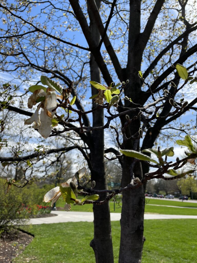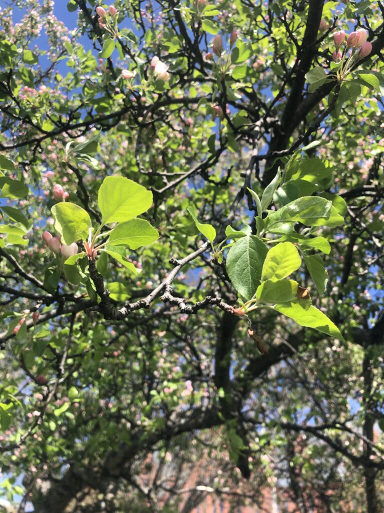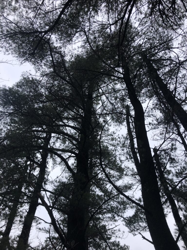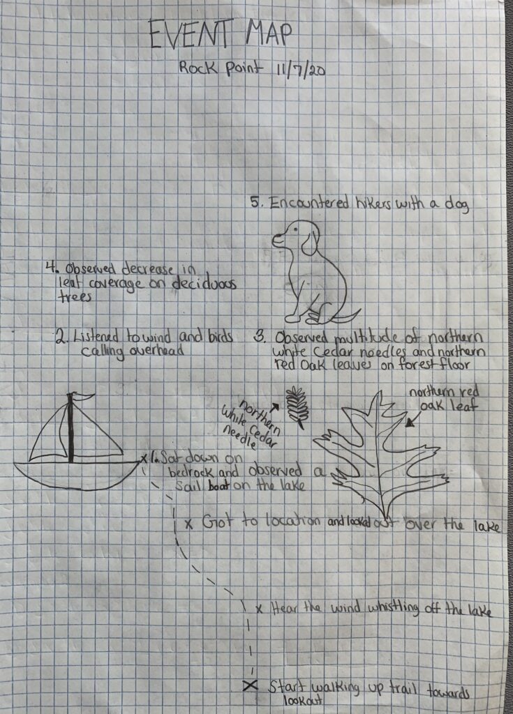
I cannot believe that I have been visiting rock point for almost nine months! It has been such an honor to document the phenological changes that have occurred at this breathtaking spot. I was able to visit my spot for the last time on May 12th. It was a gorgeous, sunny morning. I was able to document the changes that have occurred since my last visit. It was so exciting to see the leaves on the deciduous trees start to leaf out.
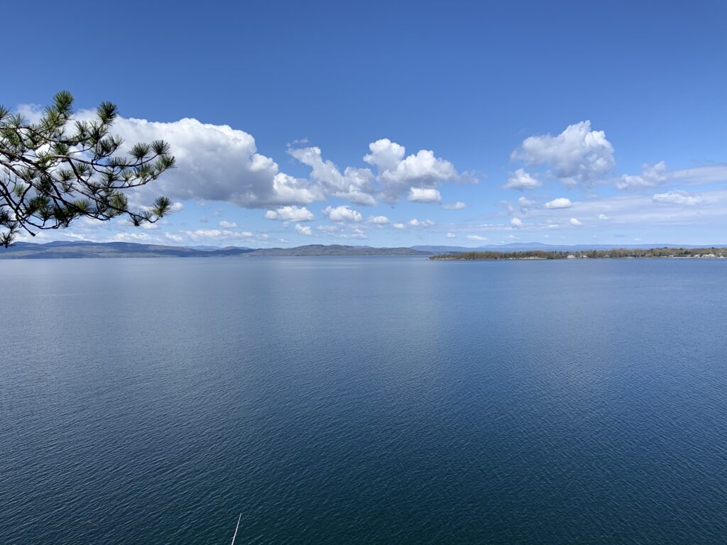
The Adirondack Mountains were breathtaking 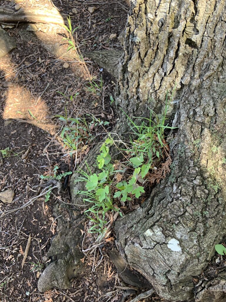
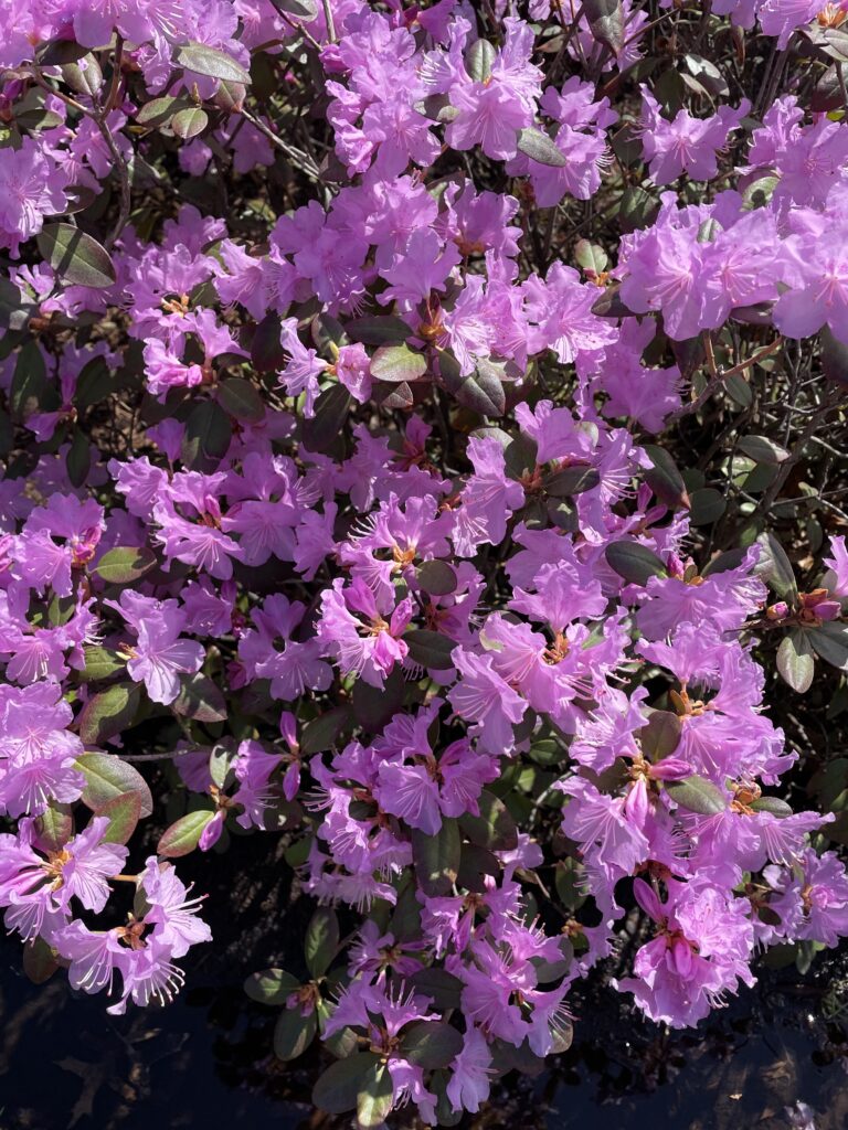
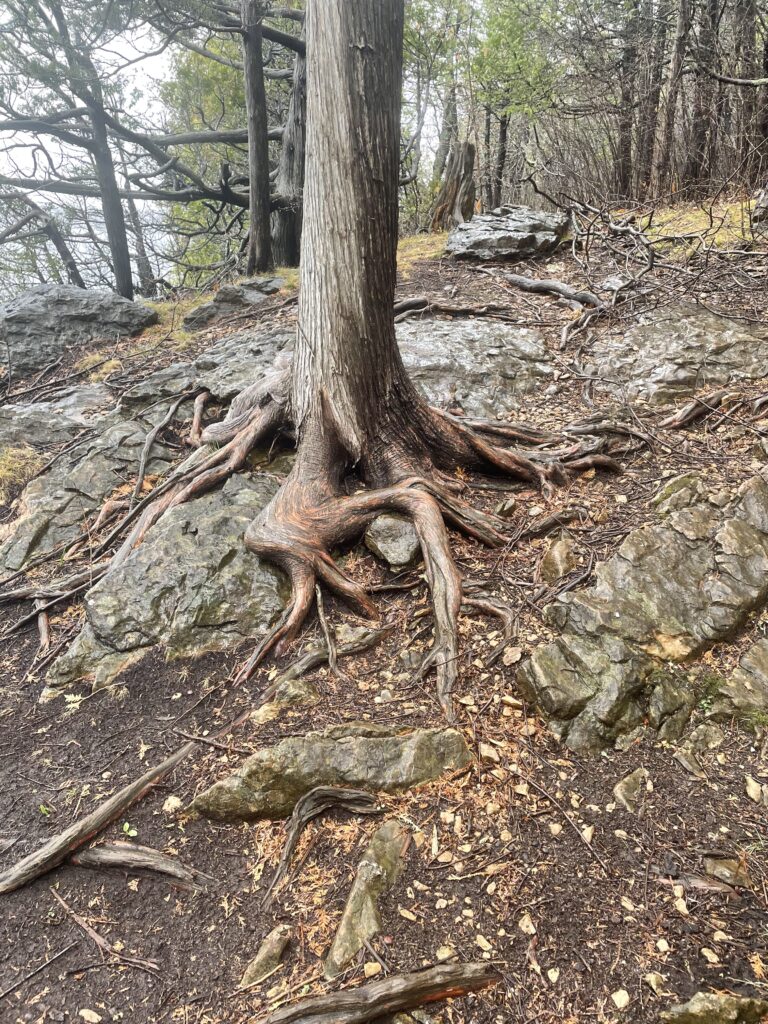
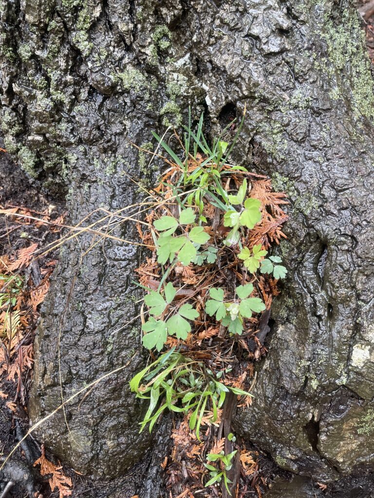
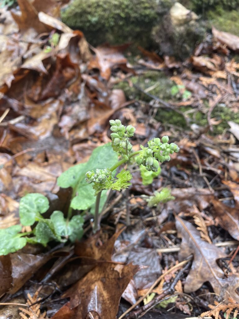
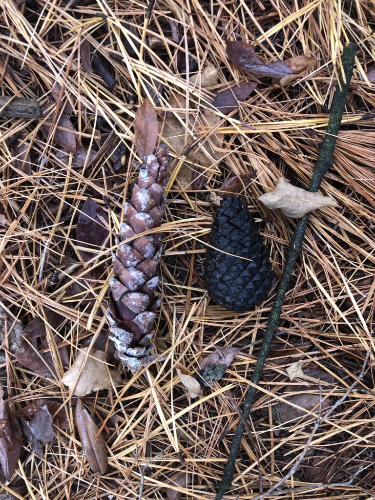
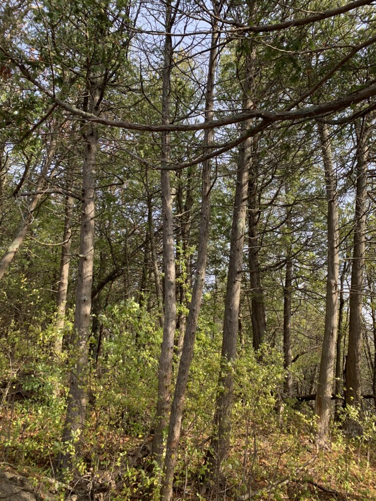
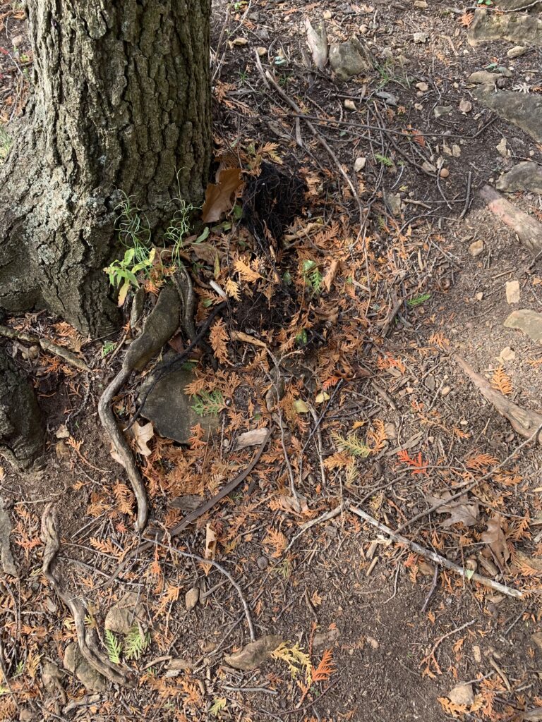
There was so much more new growth on the forest floor 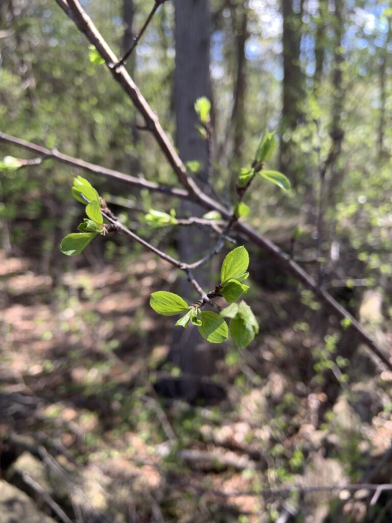
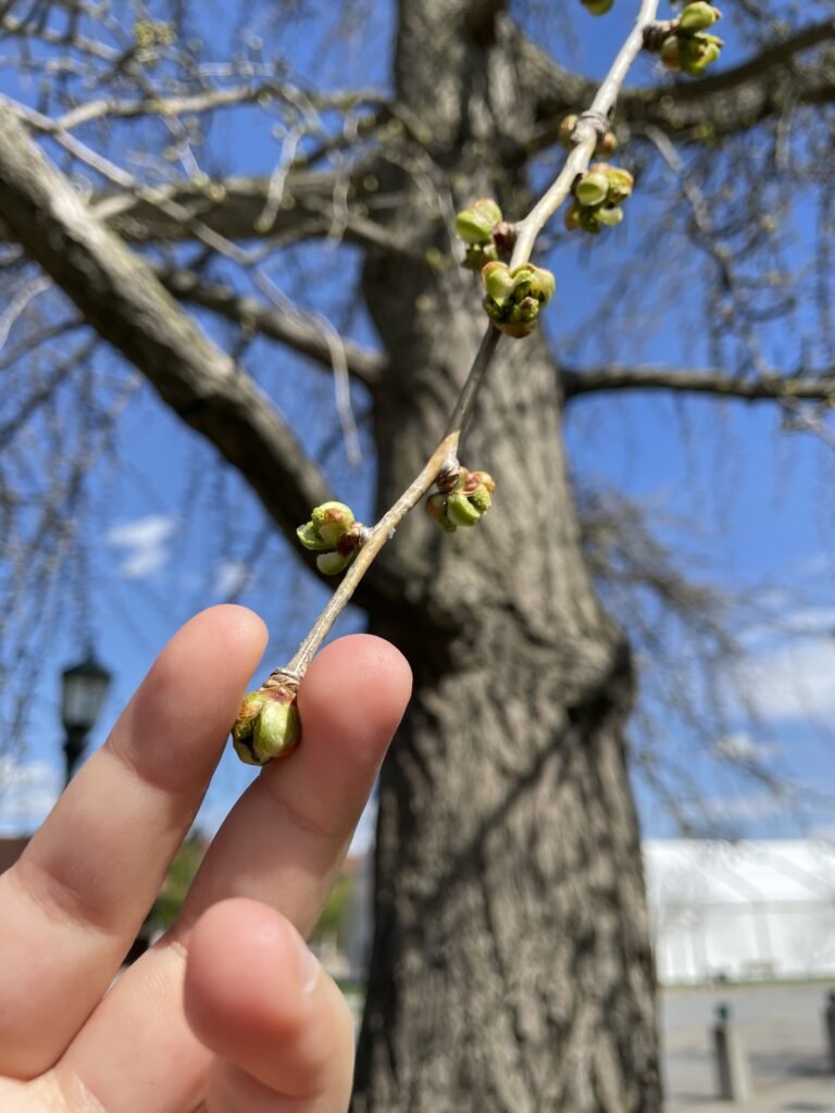
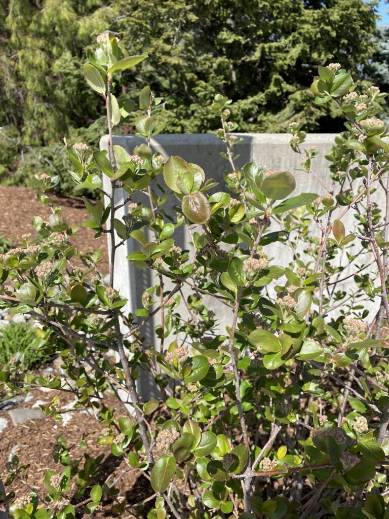
The Buckthorn Bushes were starting to leaf out 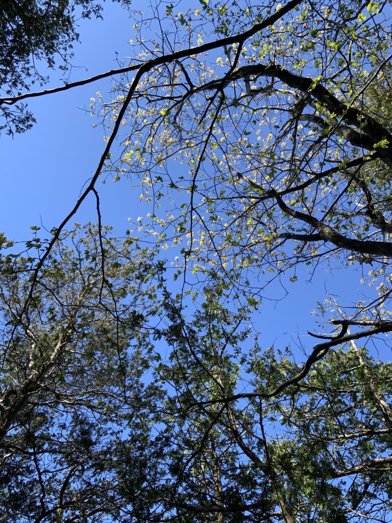
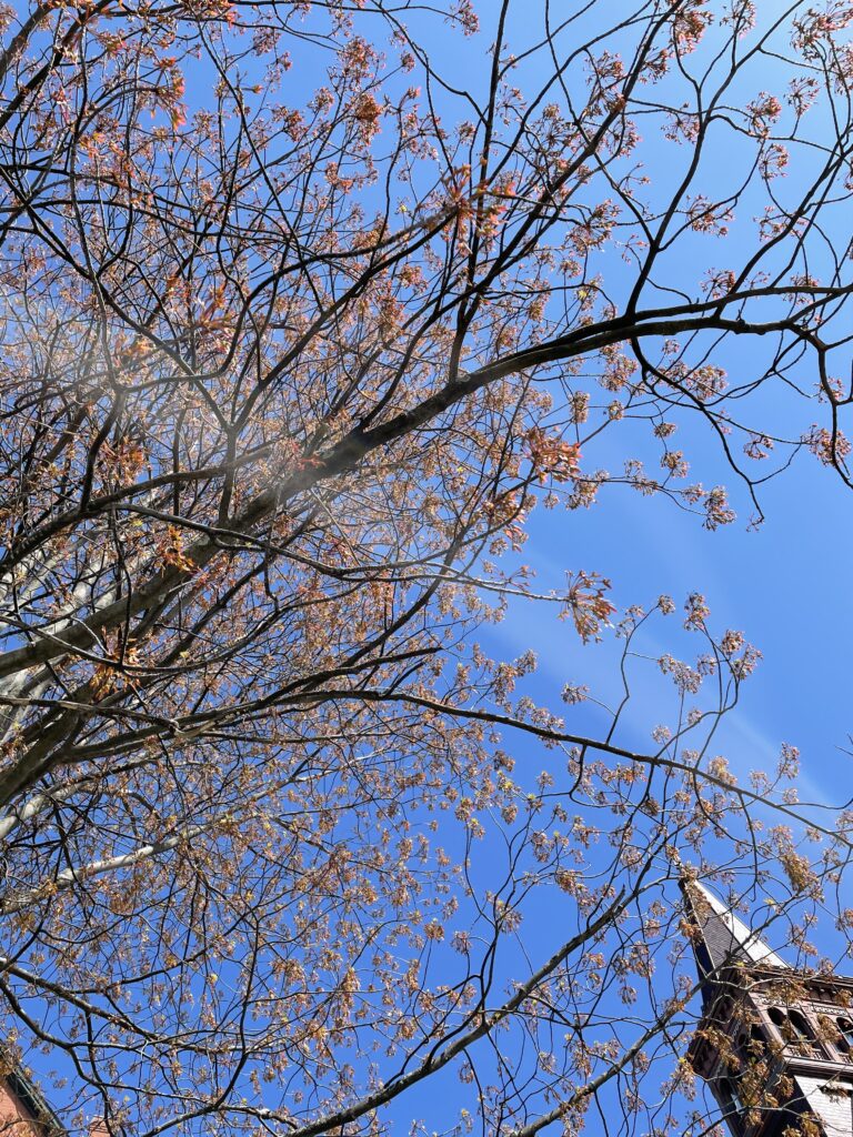
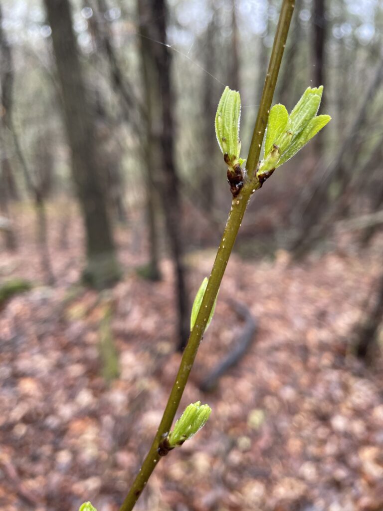
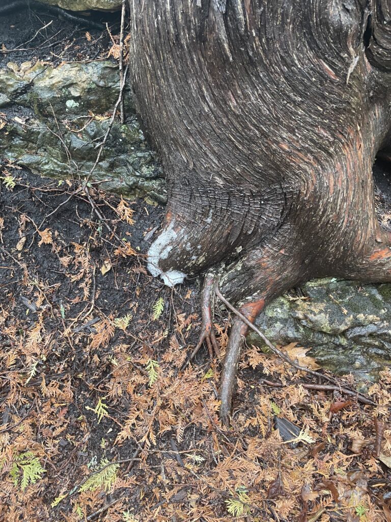
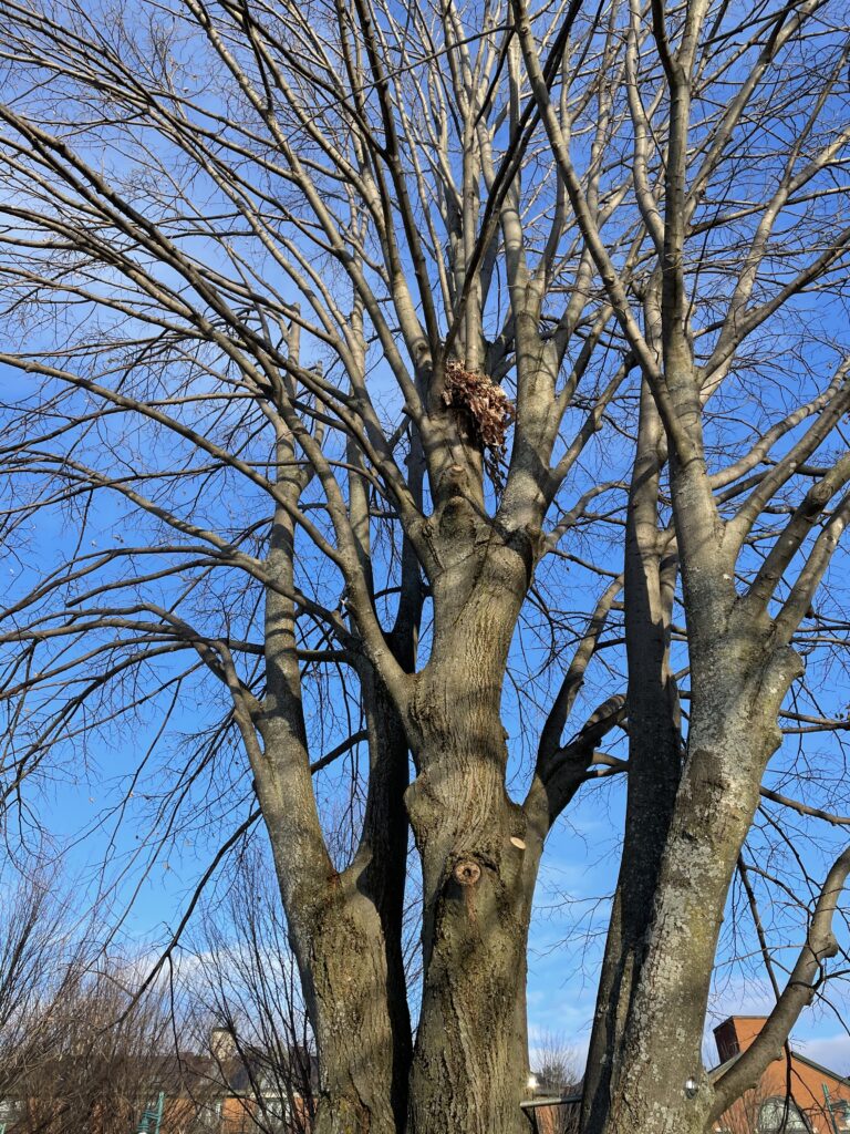
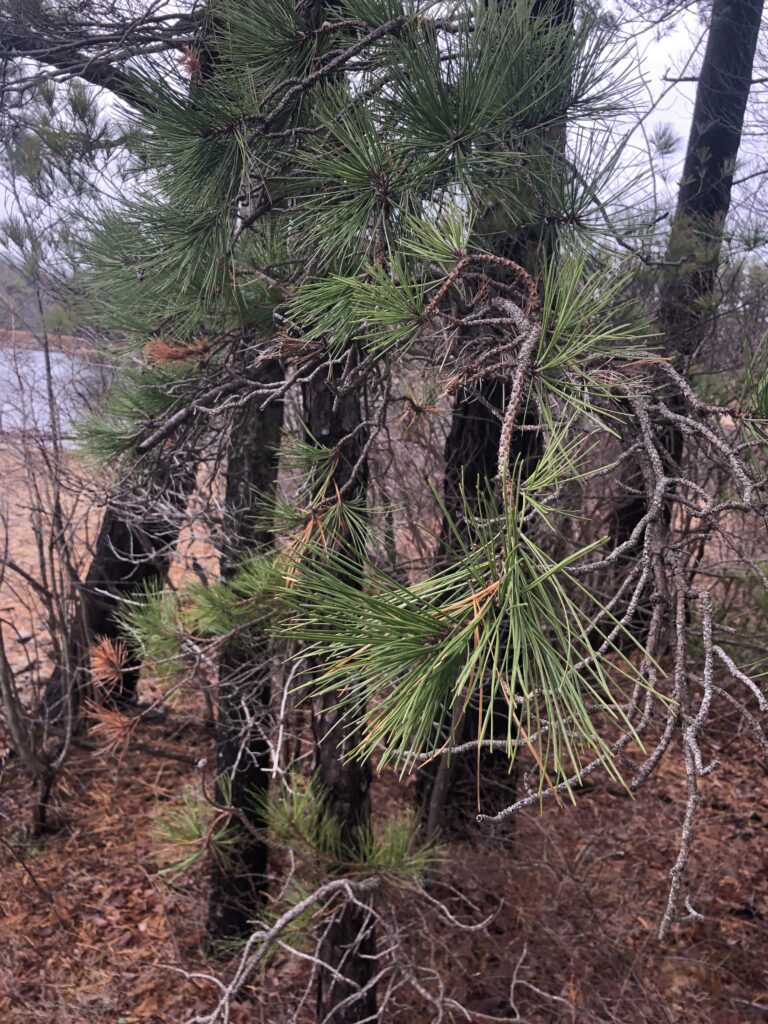
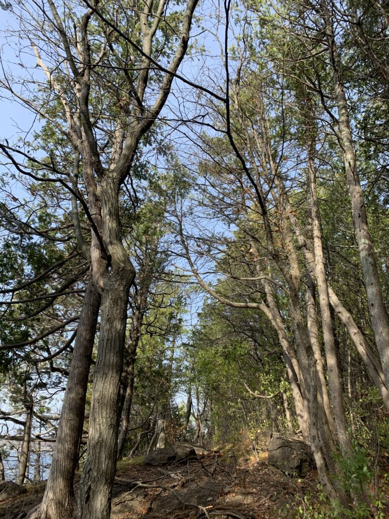
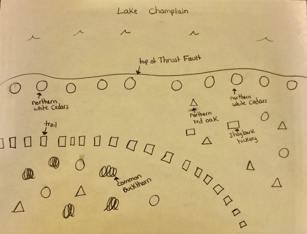
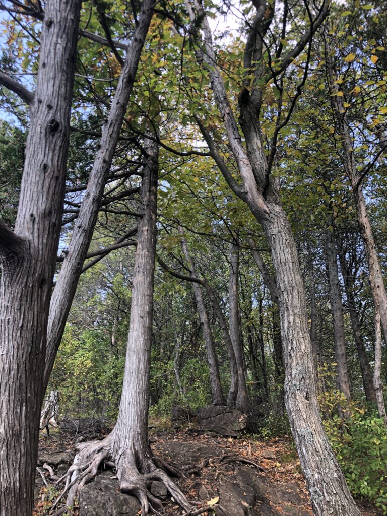
Shagbark Hickory and Northern Red Oaks are starting to leaf out 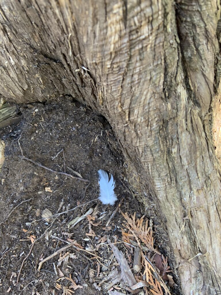
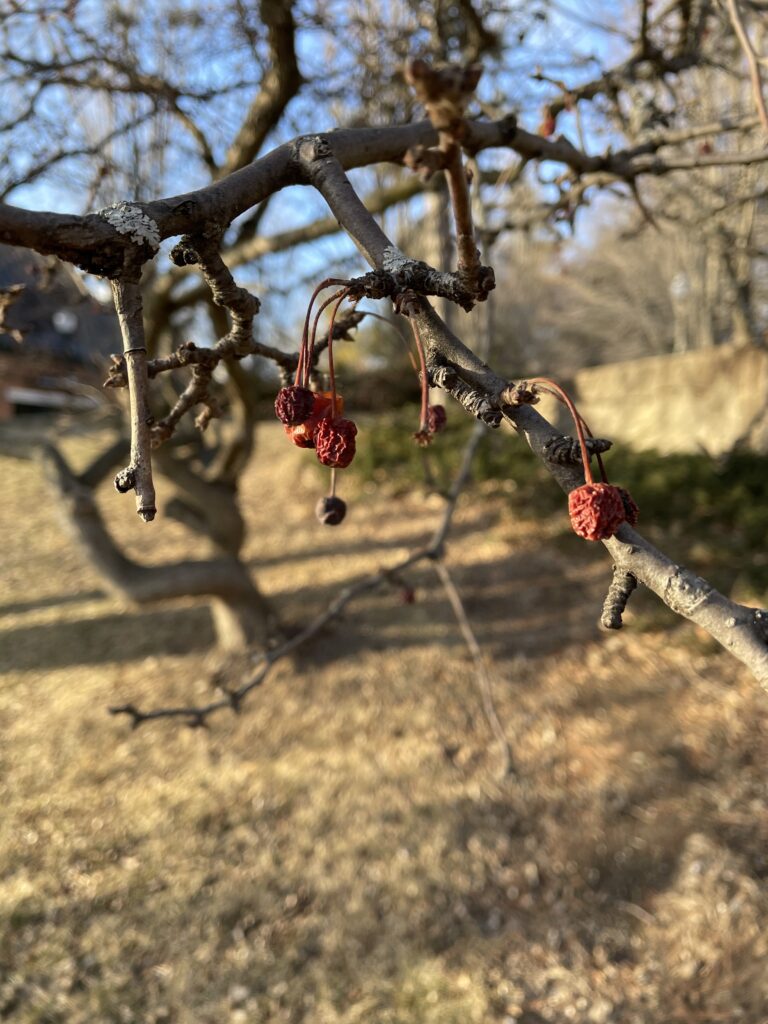
Here is a bird feather that I noticed 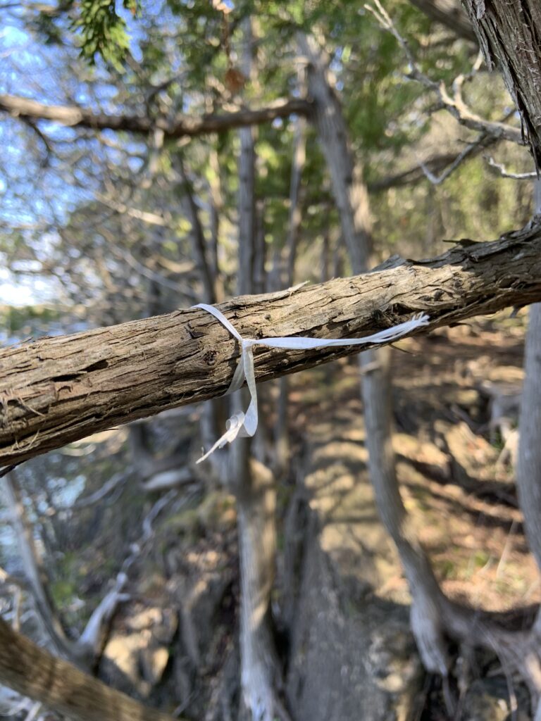
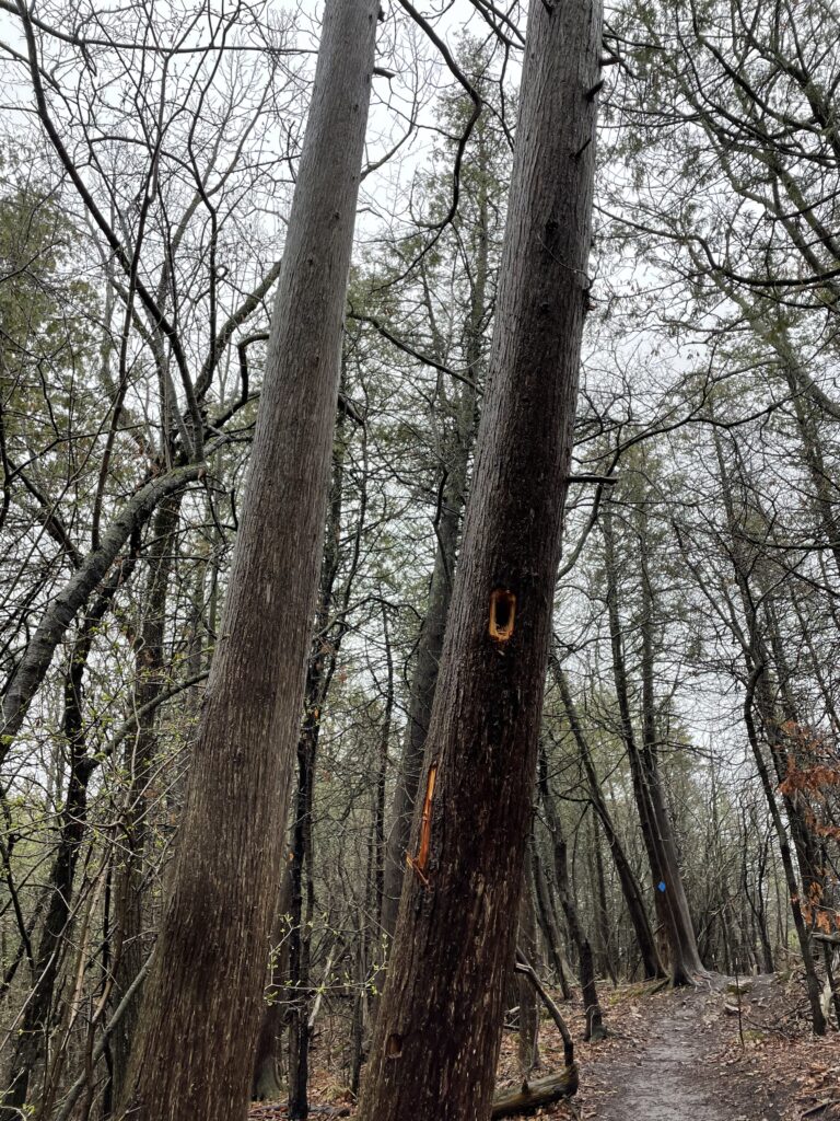
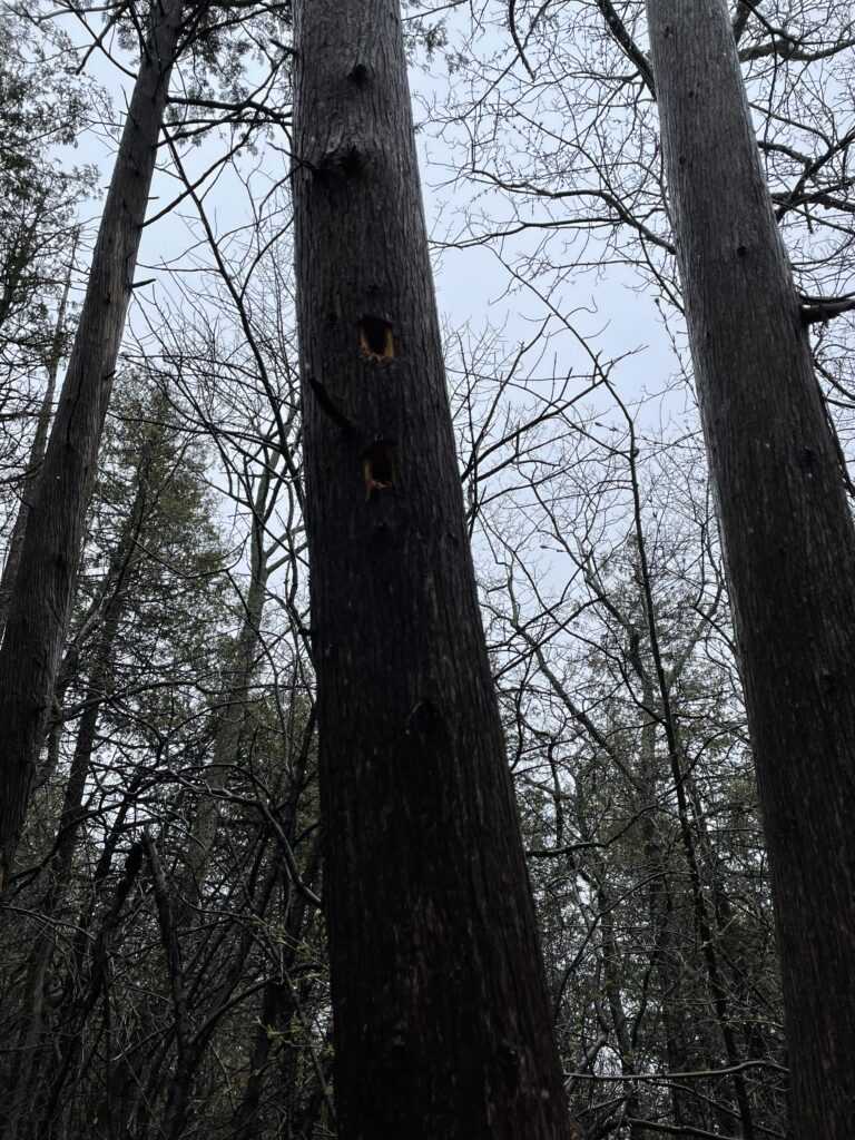
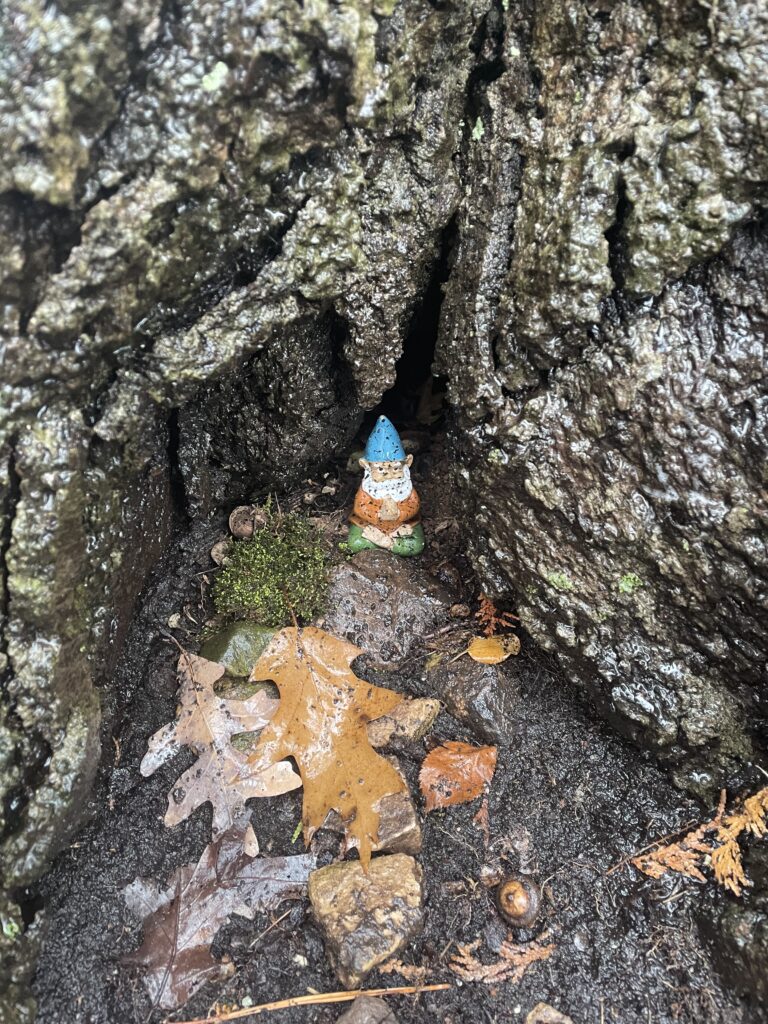
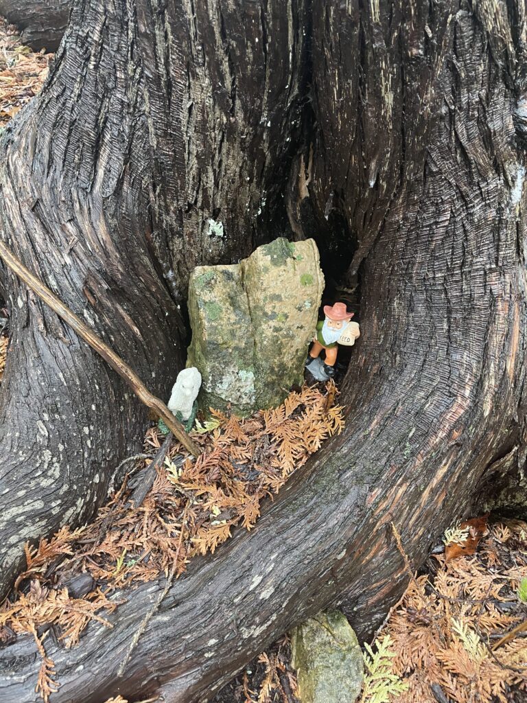
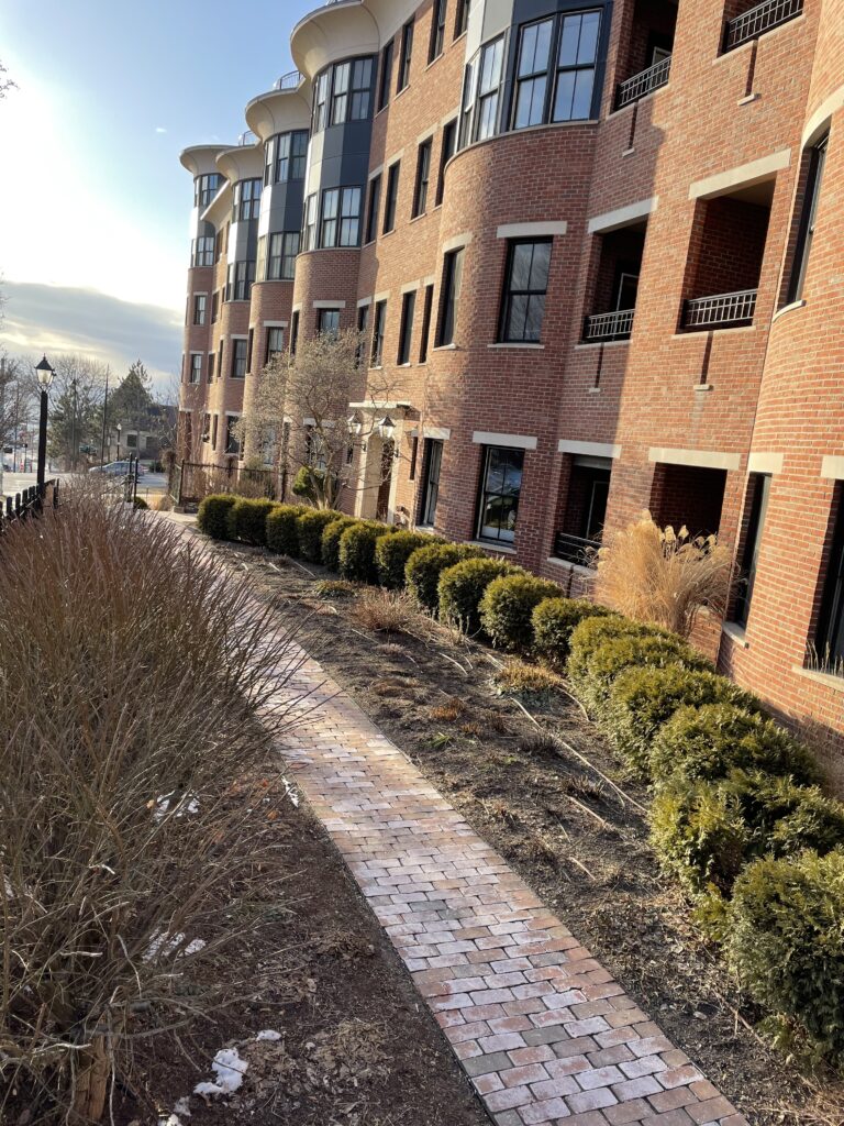
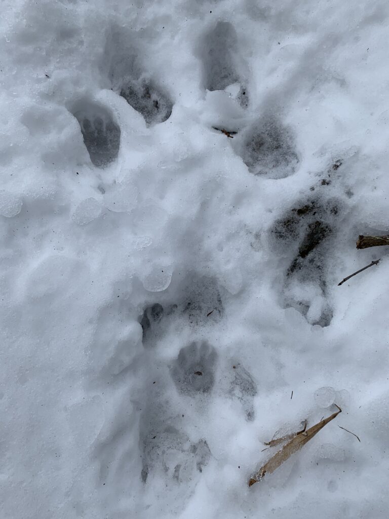
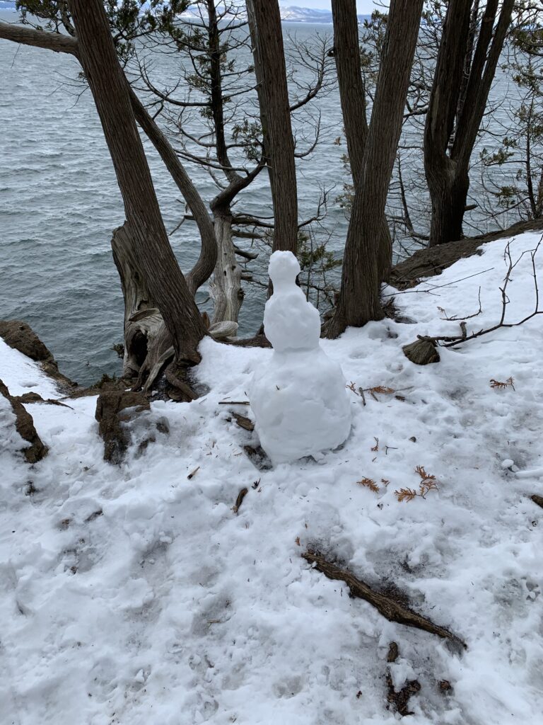
This is an example of the human interaction that occurs at Lone Rock Point
The relationship of nature and culture is so rich at Rock Point. Because of its ownership by the Episcopal church, the land has had a plethora of cultural uses throughout the years. This has helped enhanced the landscape through the many uses that the land has possessed. Additionally, the recreational use of this area helps add another flavor of culture to this area.
I would consider myself a part of this place. I say this because I consider myself a part of this landscape through my recreational uses of the land. This connects me to the land and vice versa. The bond that I have made with this place would not have been possible without the recreational opportunities that are available at Rock Point.
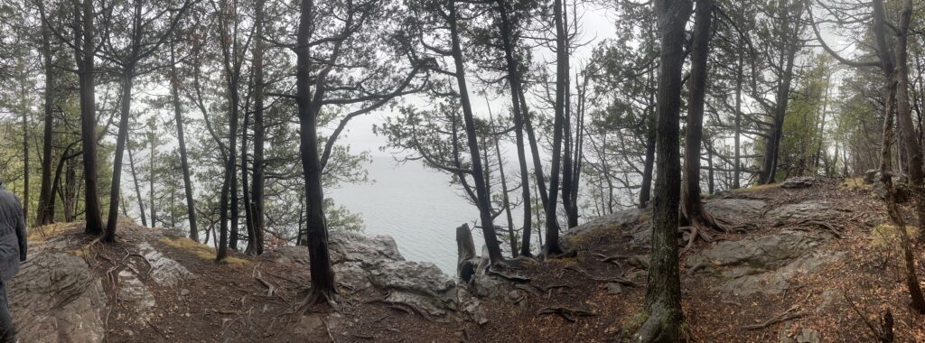
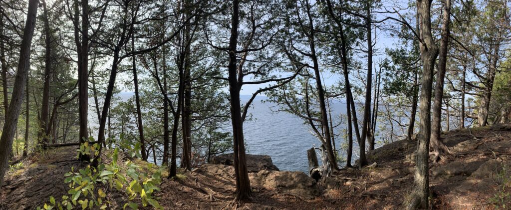
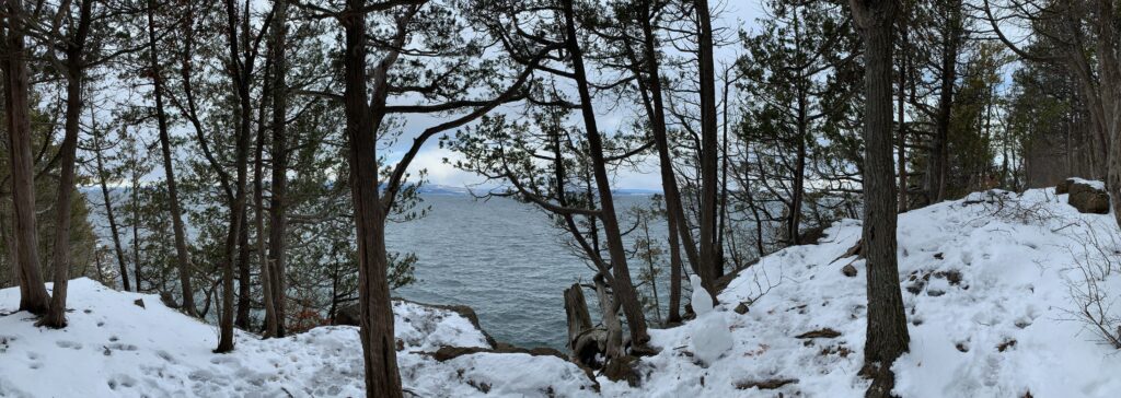
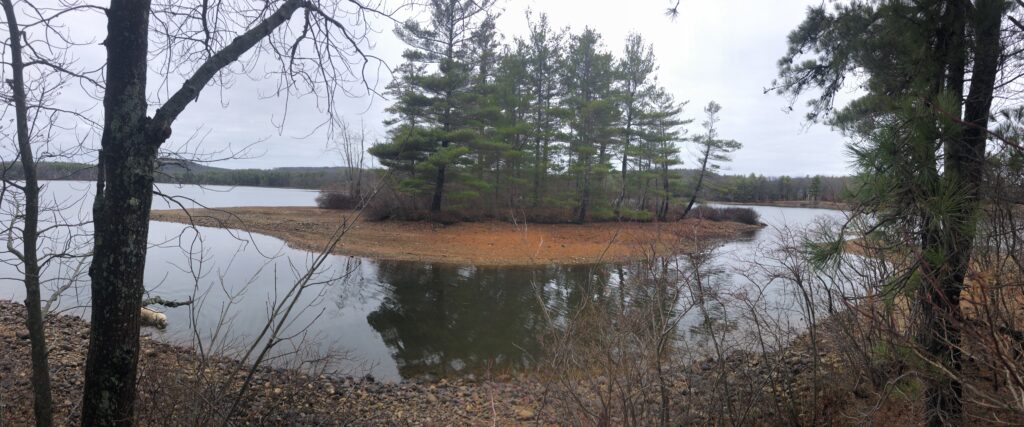
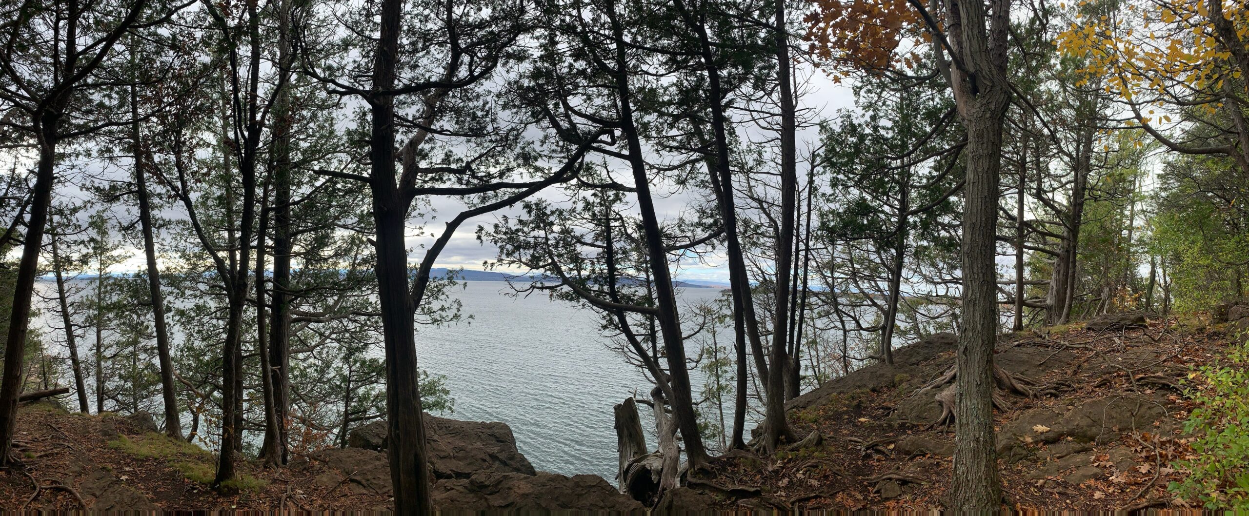
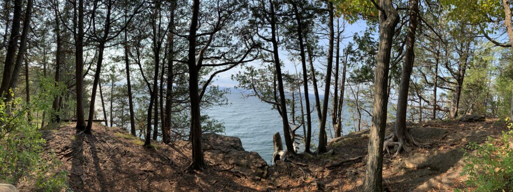
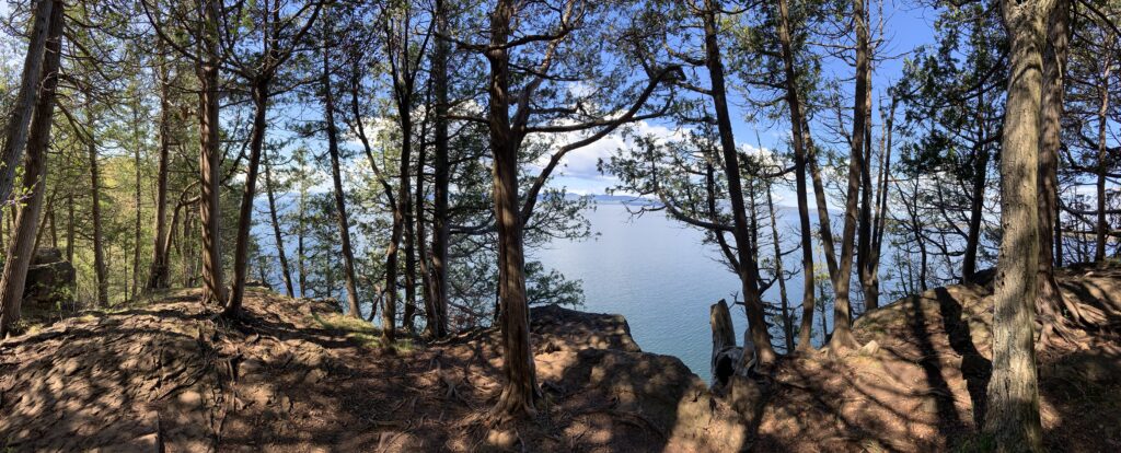
To end off this blog I want to include a panorama from my first visit to Lone Rock Point and a panorama from my last visit to the site. Enjoy!
References
Koval, A. (Photographer). Untitled [Adirondack Mountains].
Koval, A. (Photographer). Untitled [Growth on Forest Floor].
Koval, A. (Photographer). Untitled [Buckthorn Bushes].
Koval, A. (Photographer). Untitled [Deciduous Trees].
Koval, A. (Photographer). Untitled [Bird Feather].
Koval, A. (Photographer). Untitled [Human Interaction].
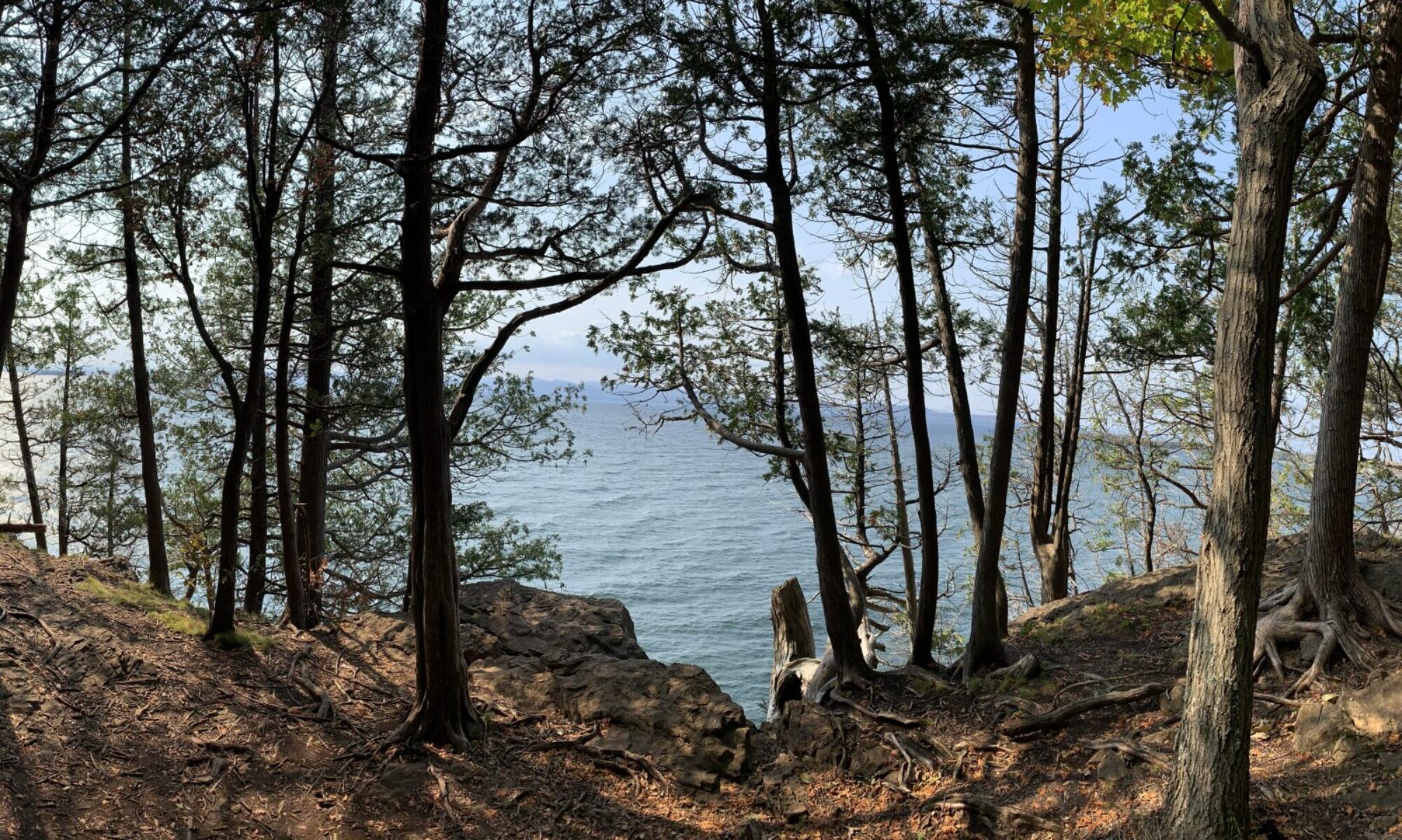
Koval, A. (Photographer). Untitled [View from October 10].
Koval, A. (Photographer). Untitled [View from May 12].