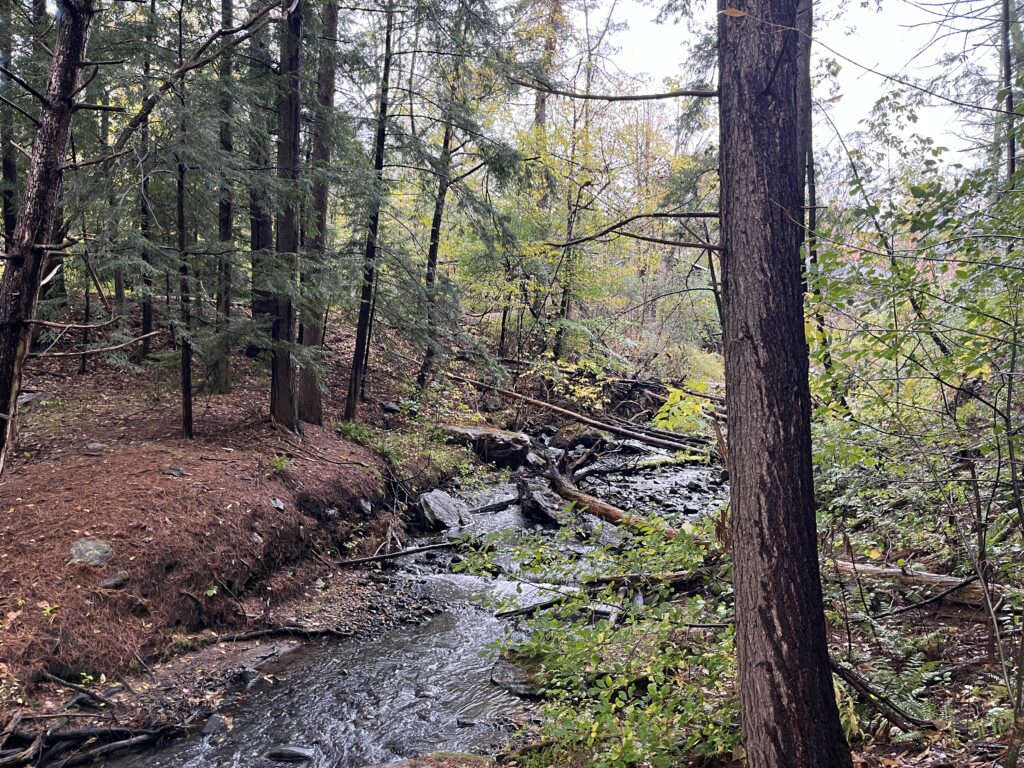
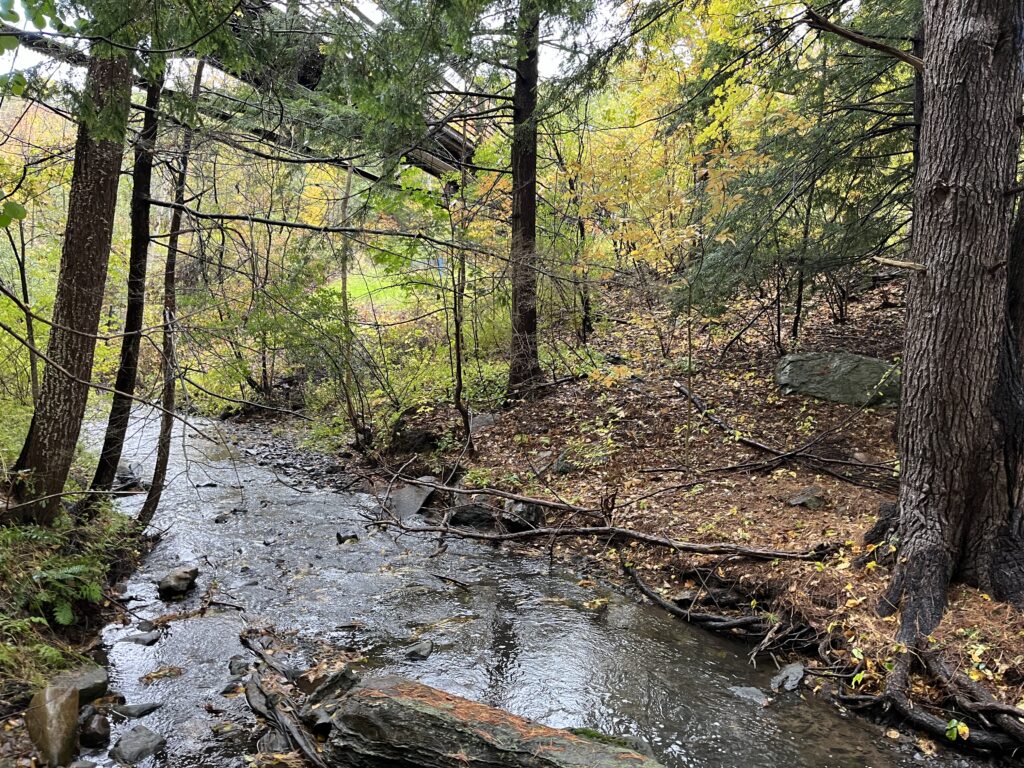
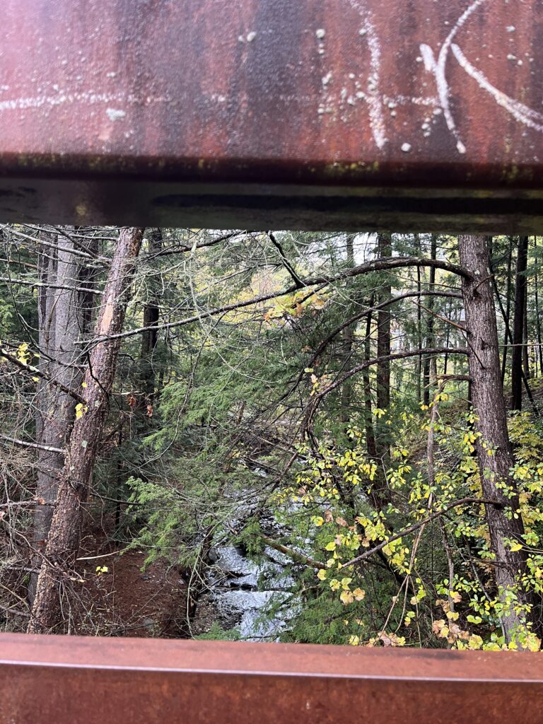
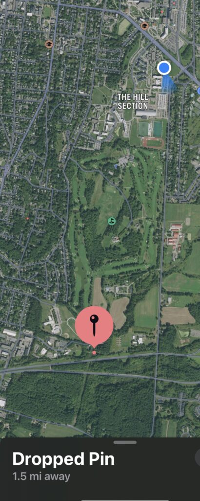
For my 2024 NR1010 Phenology Project, I chose the stream under the South Burlington Rec bridge as my location. I first stumbled upon this spot the second or third week of the semester while out on a run and although at that time we had not started the Phenology project, it became an area that I frequently passed by while running. It’s a fairly quiet area, and its close proximity to my dorm, the varied terrain, and the multiple ecological communities coexisting there ultimately made it the most obvious location for my project. The stream itself is the central point of my location, and from what Google maps and my guess-timation have determined, it is a small tributary of the Winooski River. Located slightly below the bike path, it is surrounded on both sides by a few meters of seemingly unmanaged forest, and despite it’s closeness to human made structures (the bike path, bridge, and highway 189), this spot of land is relatively wild. One side of the bank is much steeper than the other, and it is down this slope that I have to walk in order to get closer to the stream’s banks.