(And an intro to stormwater runoff ponds)
Let’s dive into the basics of this stormwater pond! It is located on the Southeastern corner of UVM’s campus, wedged between the Redstone Campus and the Athletic Center. It was built to take in the stormwater runoff from across campus, and allow it to settle before draining out into Lake Champlain. Ponds like this are required for new developments in many parts of the country, due to their beneficial nature to the local ecology.
Stormwater retention ponds help freshwater ecosystems by allowing the water to settle and be filtered by plants, both of which help to remove common pollutants such as oil and gas runoff from cars, microplastics, road salt, and fertilizers. Without these ponds, pollutants enter streams at a much higher rate, which can damage the local flora and fauna, especially sensitive micro and macroinvertibrates that make up the base of the food chain.
Overview of the pond
Location
As stated before, the pond is located on the SouthEastern corner of campus, and according to data from arcGIS, it drains South through the golf course and then West, through town, and into Lake Champlain
Shape
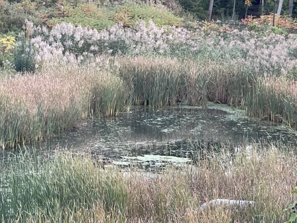
Depending on the water level, the pond can either be one large pond (at the tallest) or the maximum of three smaller ponds (at the shallowest) but currently, in the month of October, at appears as one major pond with a smaller pond at the top.
As for shape it somewhat resembles a boot when looking at it from above.
The including all the sub ponds, the main pond covers roughly 1,350 square meters (around 14,500 square feet). The pond is entrenched into the earth, with a 20m perimeter hill around it, which is blocked off by a fence. Including all the fenced in area, the area of the pond is roughly 6,800 square meters (around 73,400 square feet, or 1.6 Acres).
Flora
The plants of the pond depend on how close to the pond they are, and the plants form a few different bands the further up the hill they are. I’ve made a basic breakdown of these bands below
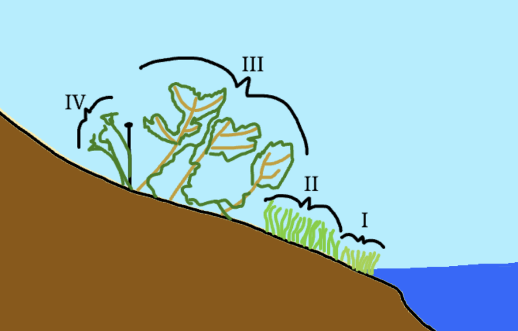
I. At the edge of the pond, and the bank, plants that can survive in wet, swampy environments. Species that exist here would be water reeds like cattails. These are distinguishable from the other grasses mostly due to color
II. The next band is the grasses, which I haven’t successfully identified as of this point, but they appear to be a similar species to one of the decorative grasses that is present around campus. These grasses are very dense and the line between the two is so pronounced that I’m not entirely sure if they were planted there purposefully or if they just propogated naturally.
III. The third band is the first band of small trees. In this band, I have identified the primary species to be staghorn sumac, which are a short species of tree that can either grow in a tree-like or bush-like formation. They are categorized by their distinctive red flower bulbs that stick out from their branches, which tend to extend upwards
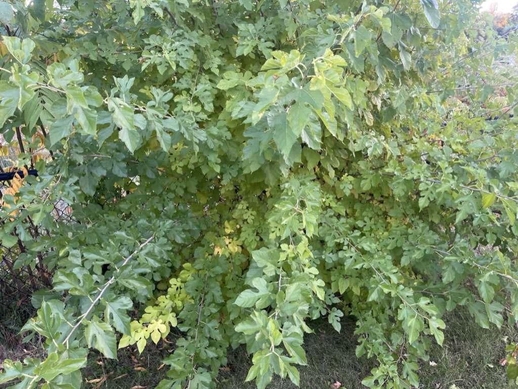
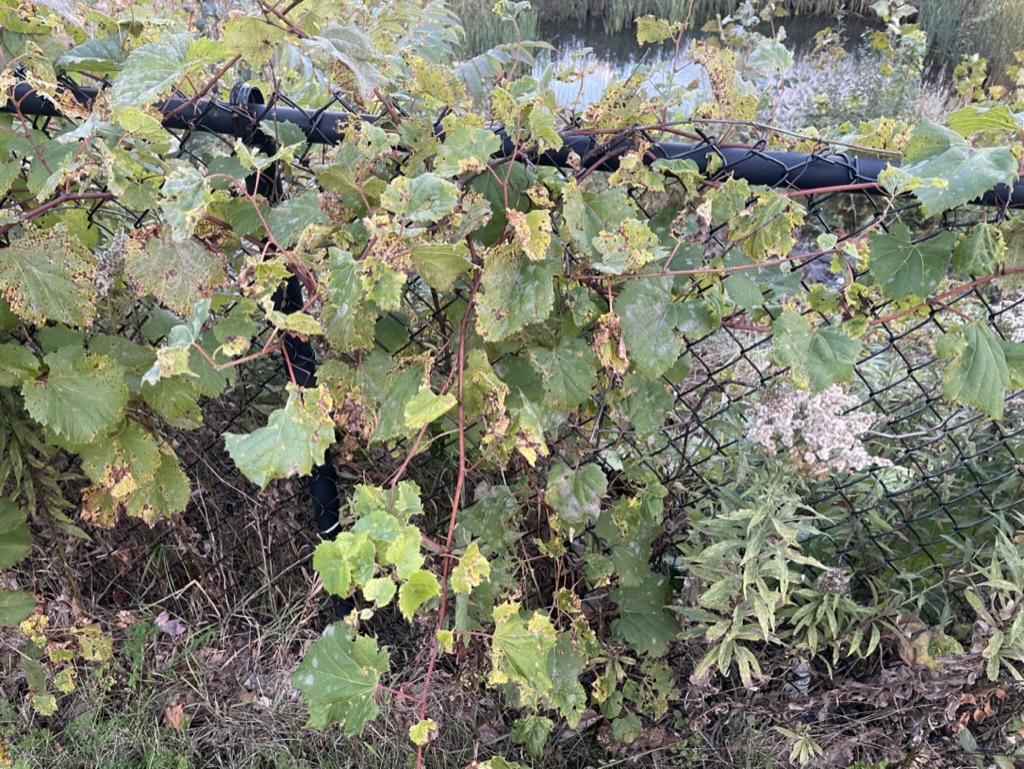
IV. The final “band” surrounds the fences and the sumac groves, and consists primarily of mulberry and wild grapes. The grapes grow on either side of the fence, and sprawl across the ground in some parts. The mulberries grow closer to large bushes, similar to how figs grow (which makes sense, as they’re related).