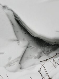
I am very sad to report that this is my final official visit to my phenology spot. I have developed a much deeper connection than an anticipated and I would definitely say that this experience has played a role in the development of my sense of place here in Vermont. A corner where I know all of the species and visualize their interactions together.
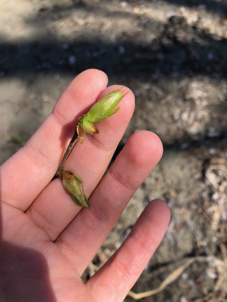
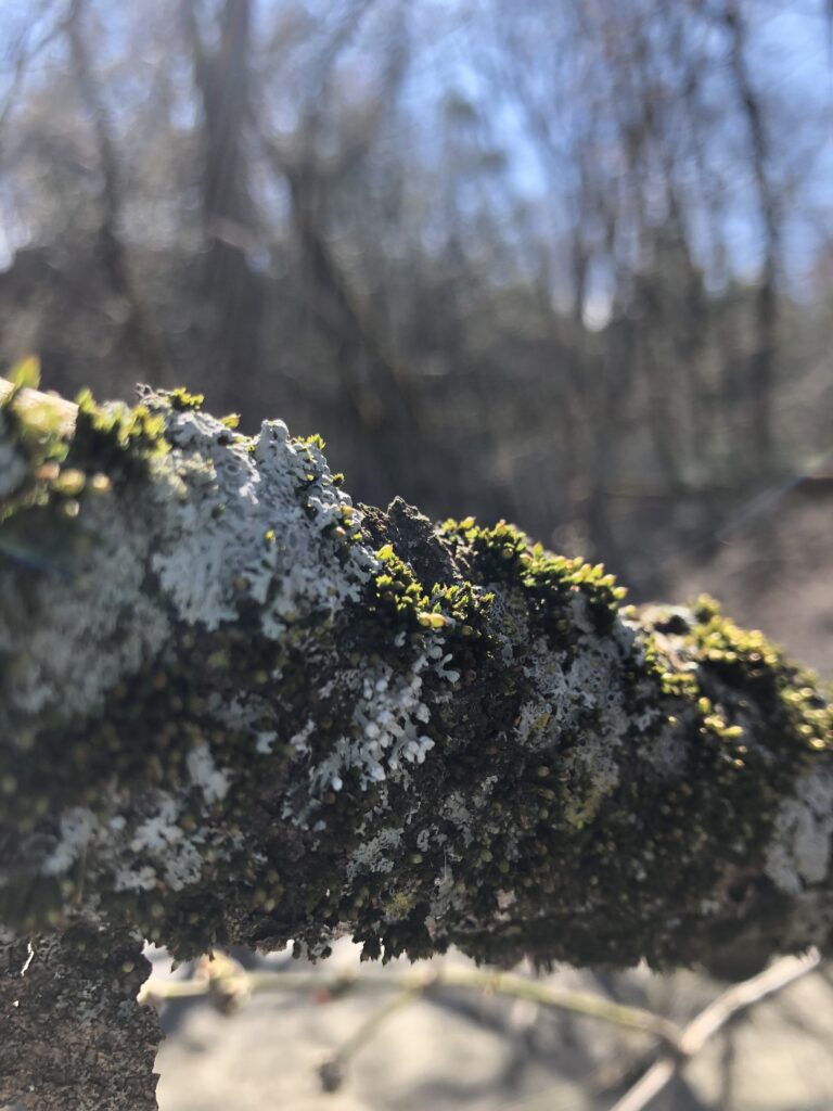
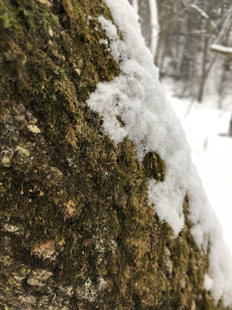
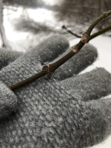
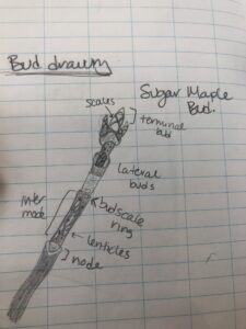
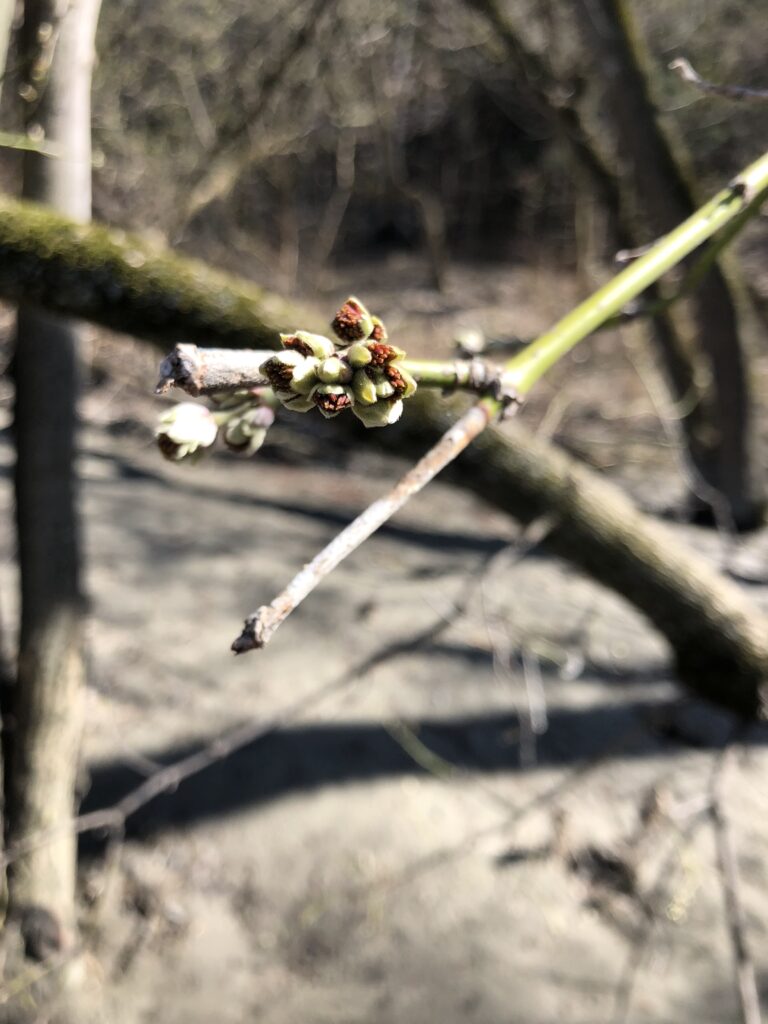
Beech Buds 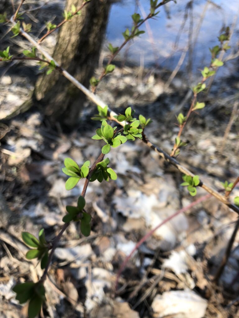
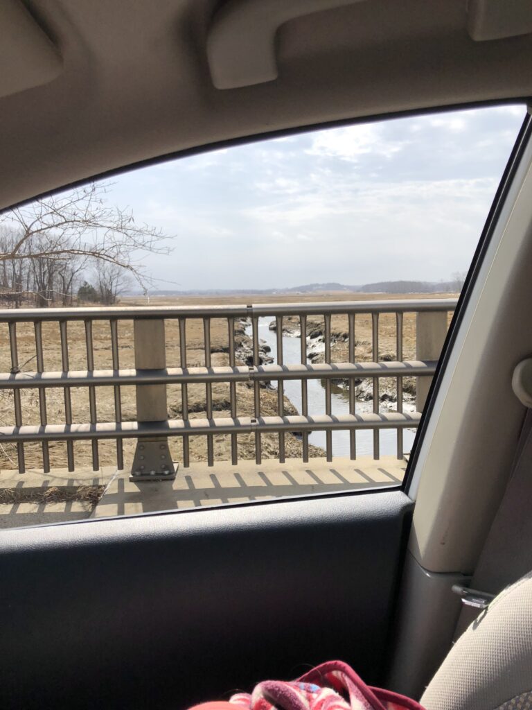
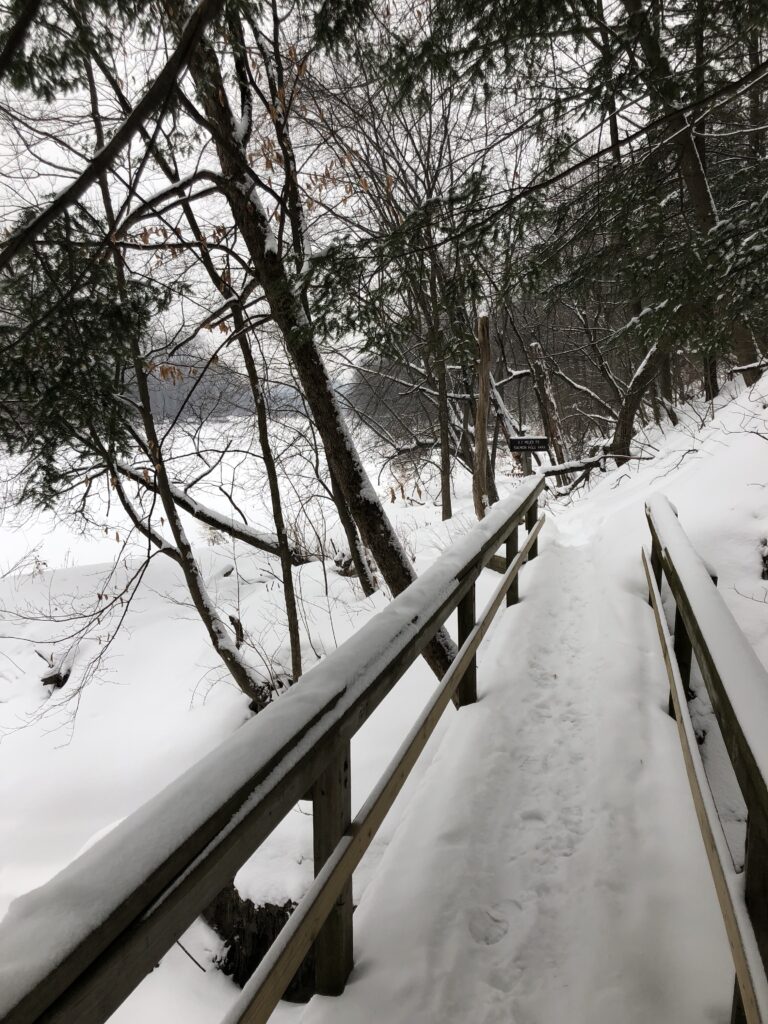
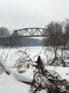
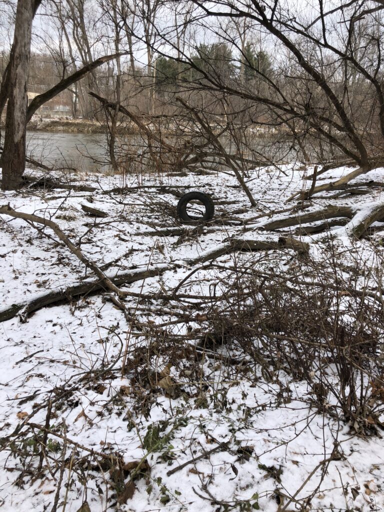
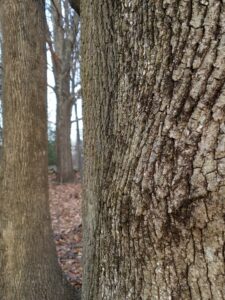
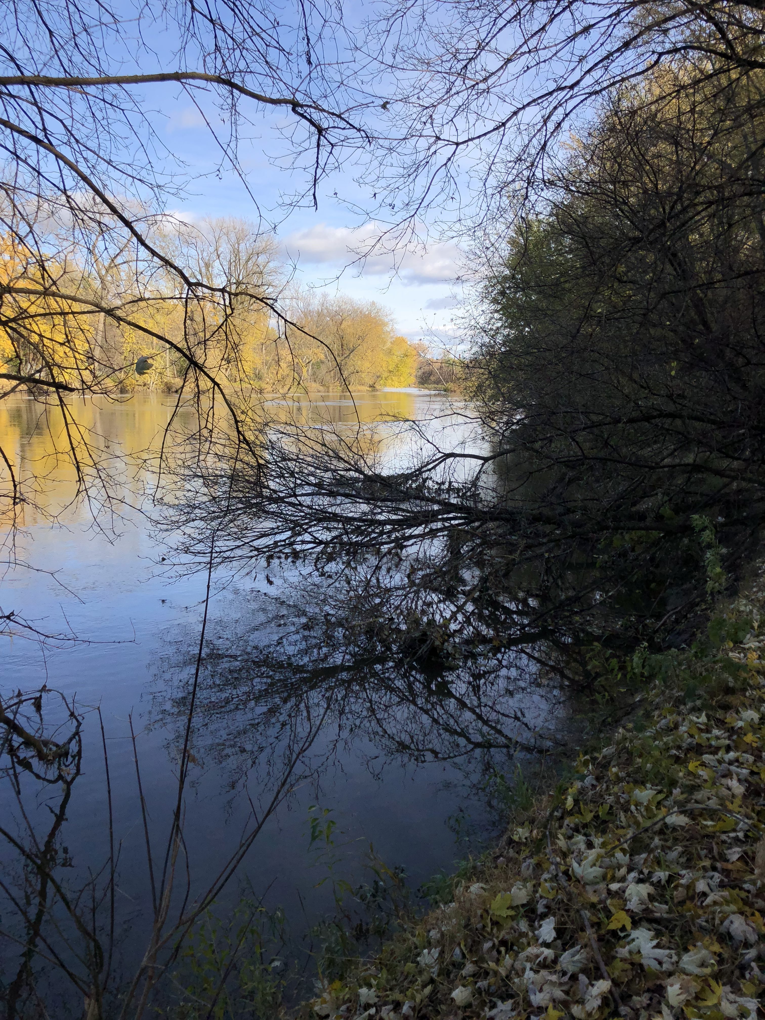
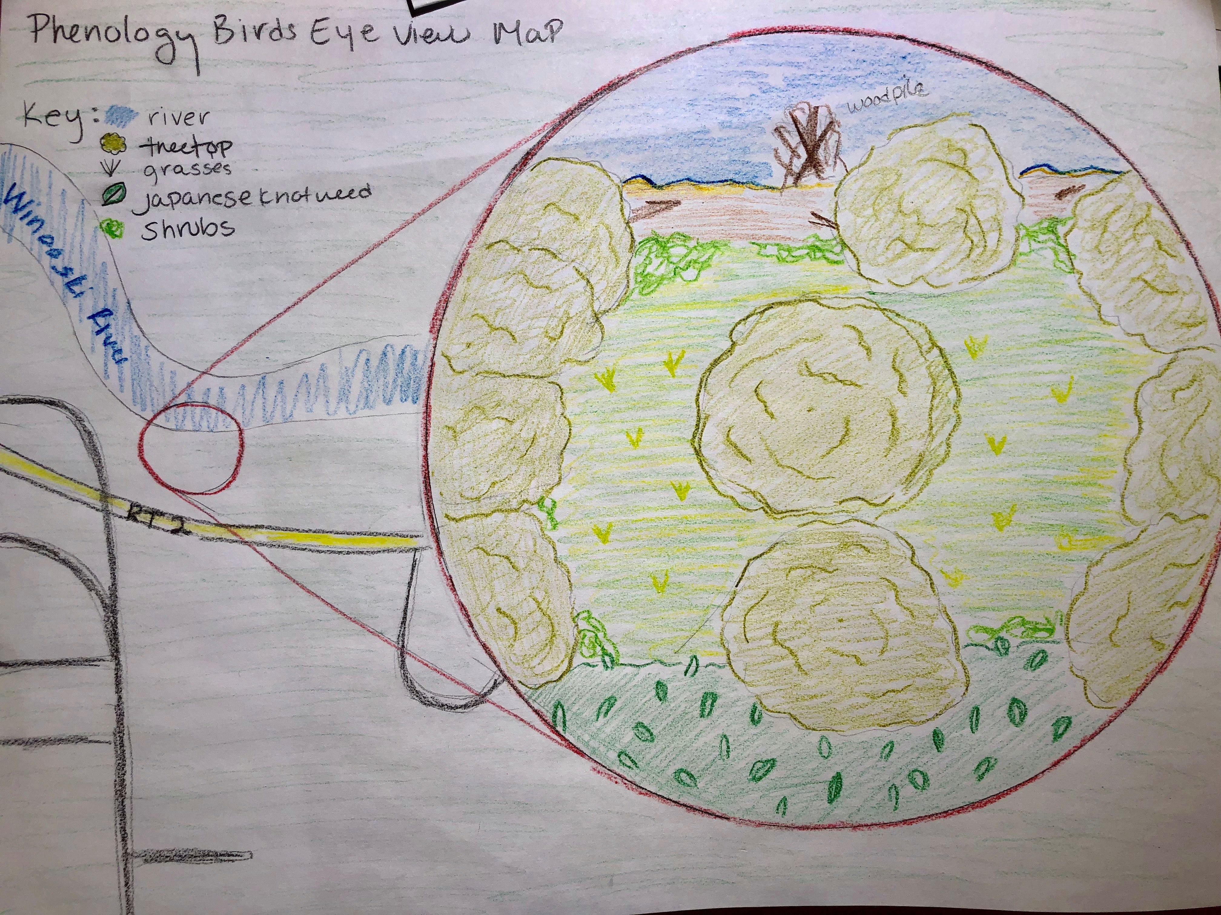
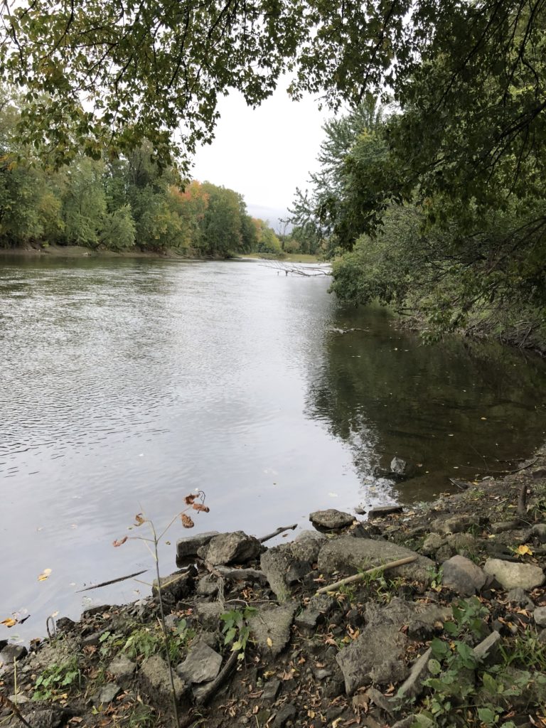
I think every place has been effected by humans in some way so I definitely think it is a space where a culture and nature intertwine. For so long the area has been forsaken and taken for granted. I was exploited by the timber industry and then further destroyed by the dumping of trash in the mid 1900’s. Only in recent years has it begun to regain its independence as a natural area. It has now taken its rightful place has a forest flood plain and only slightly exploited as a recreational area. Culture and nature intertwine here through recreation, a place where people can enjoy the beauty of the river and view ecological systems at work. The area is also a wildlife habitat in a developed area. Long uninterrupted areas of natural area are integral to wildlife populations in more urban areas.
I would say that I am a part of my site in the sense that I feel a string connection to it and believe that it needs to be protected and left to grow as it pleases. I would also say that I am a part of it in the sense that know a great deal about the area and the history which has definitely fostered my connection to area. But it is not my
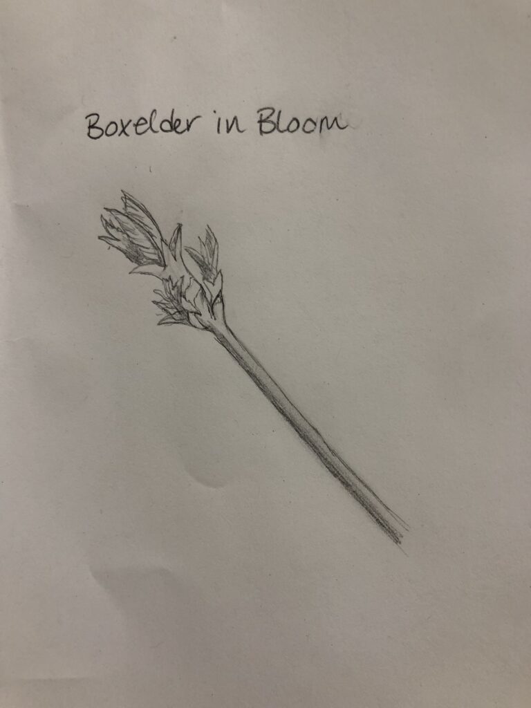
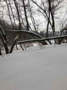
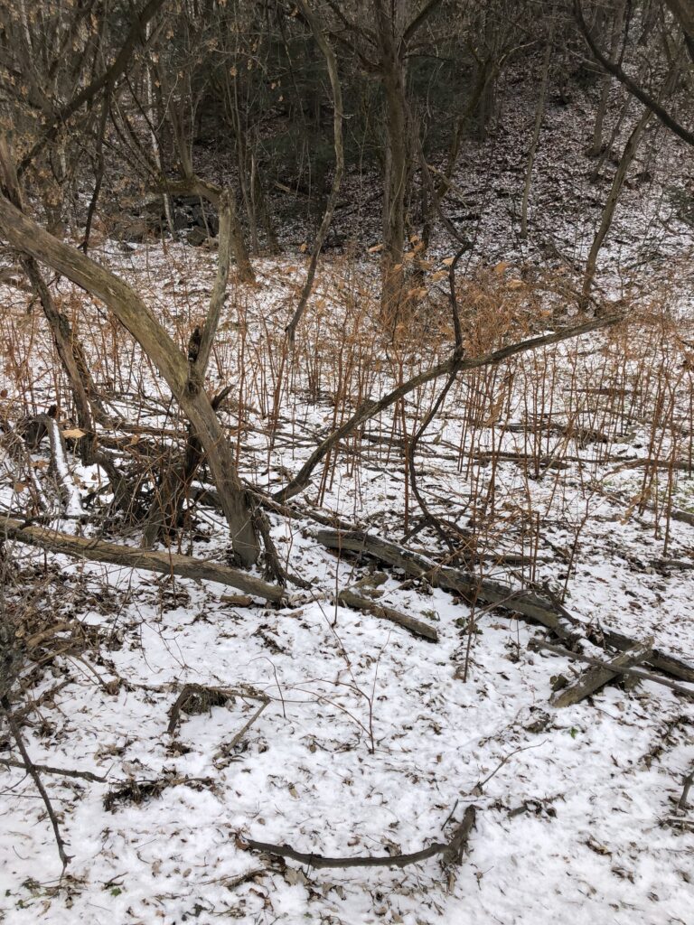
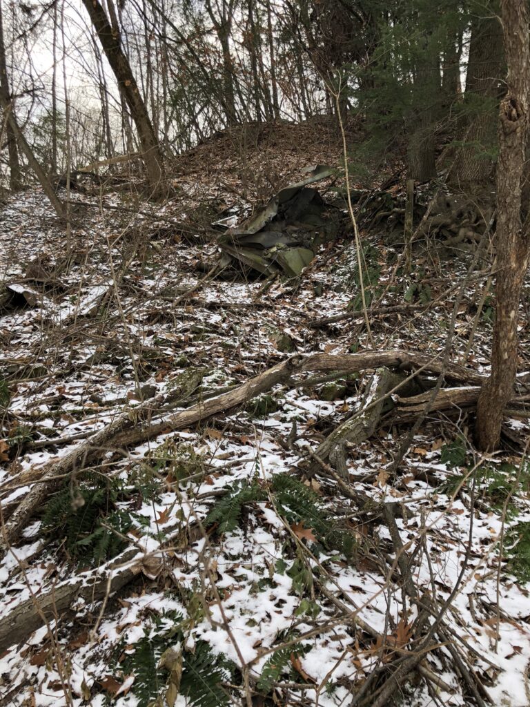
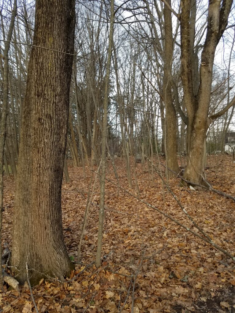
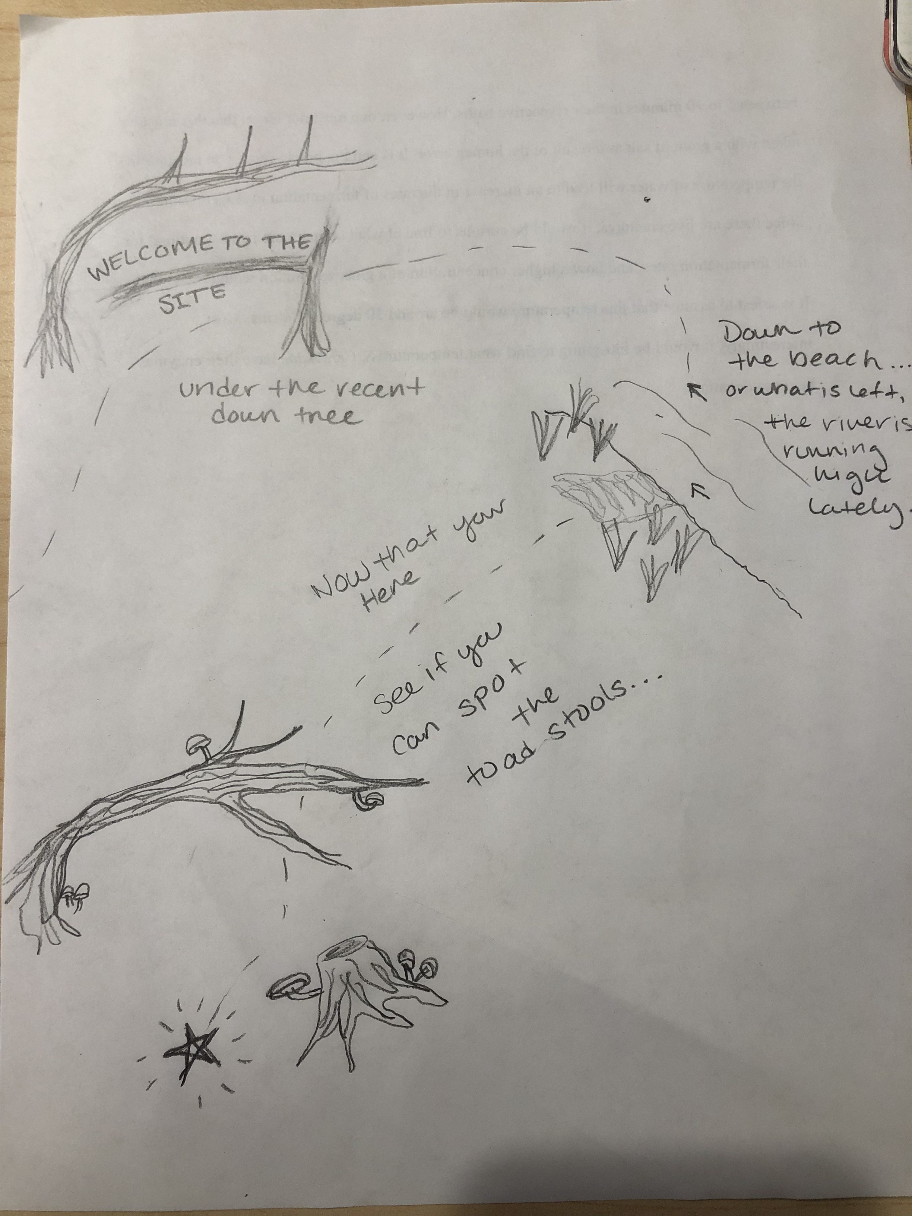
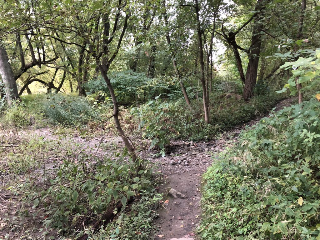
The Boxelder Arch Over the Months
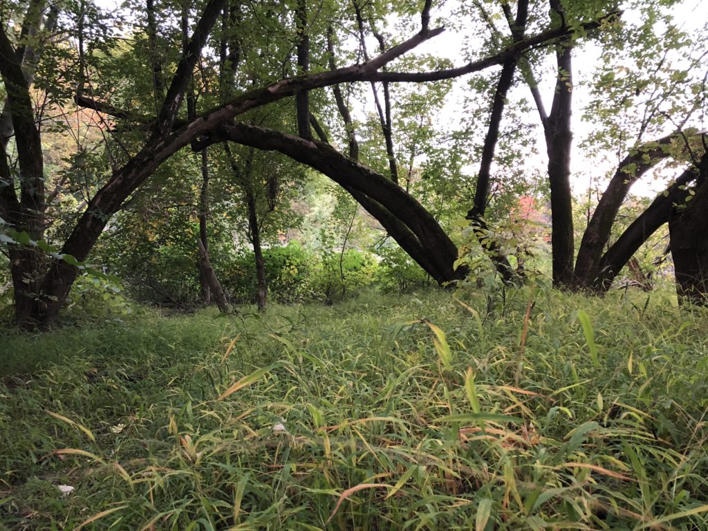
Early October 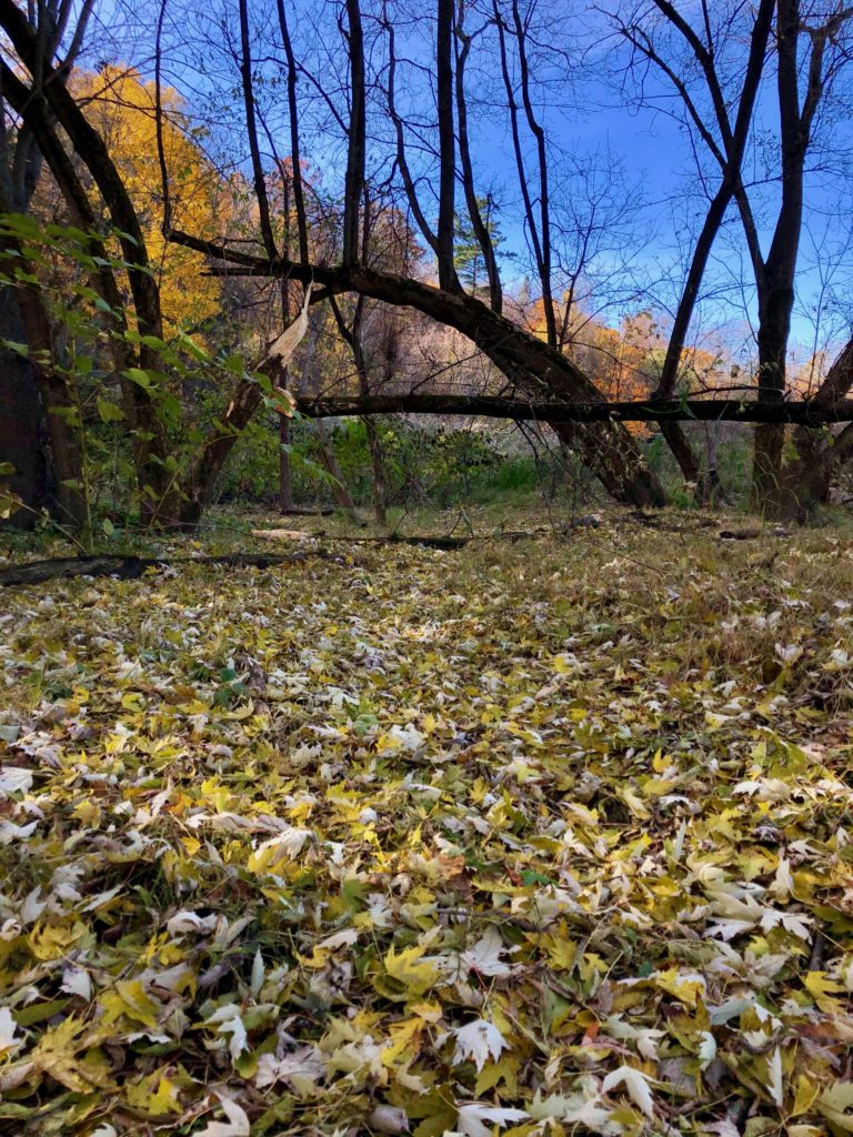
Early November 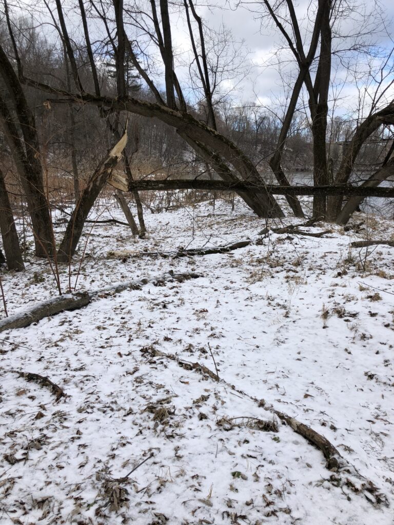
December 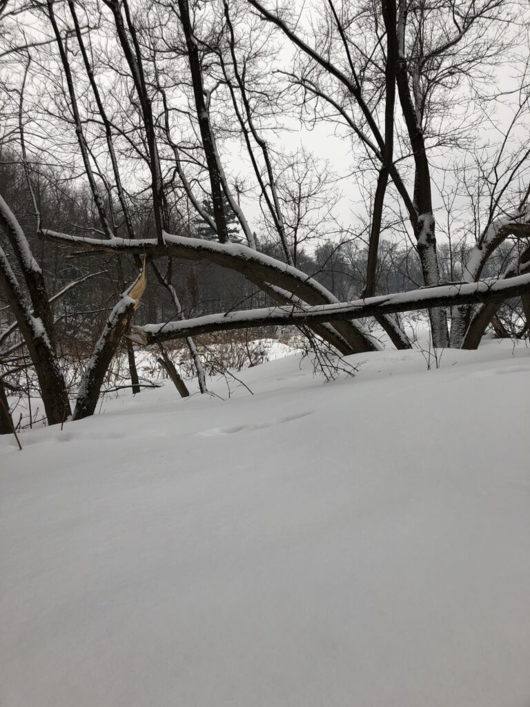
February 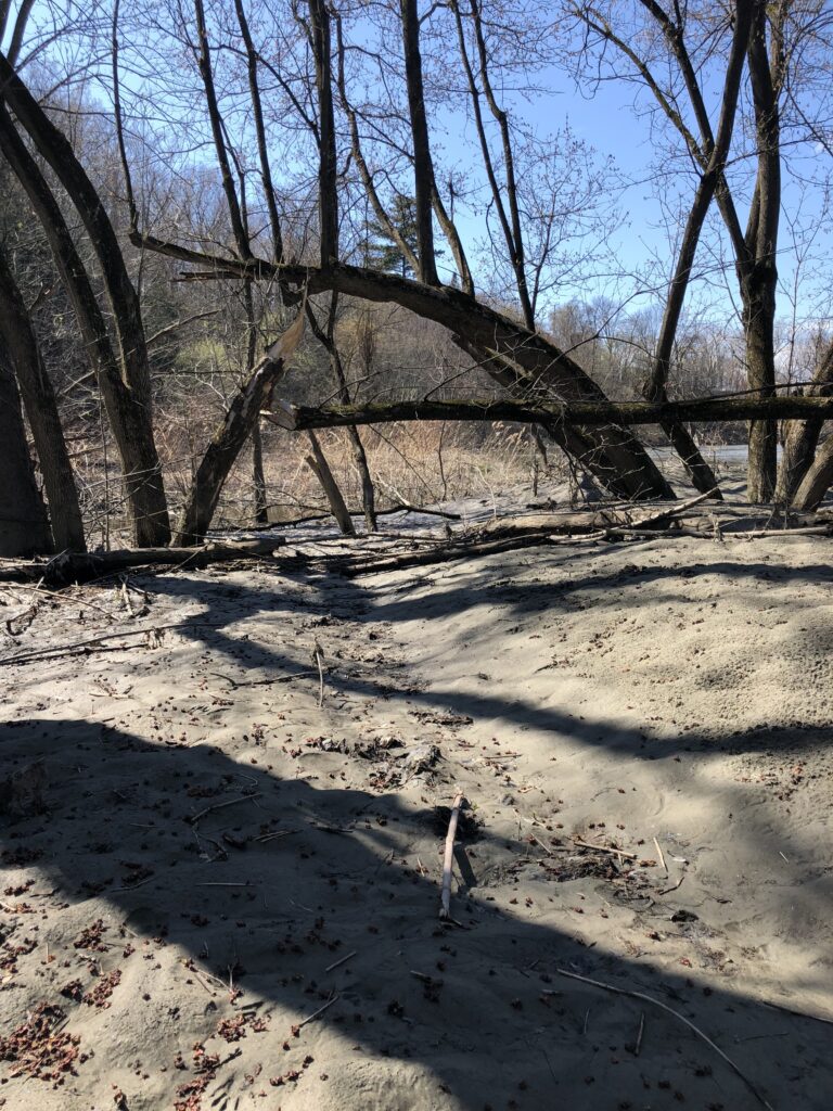
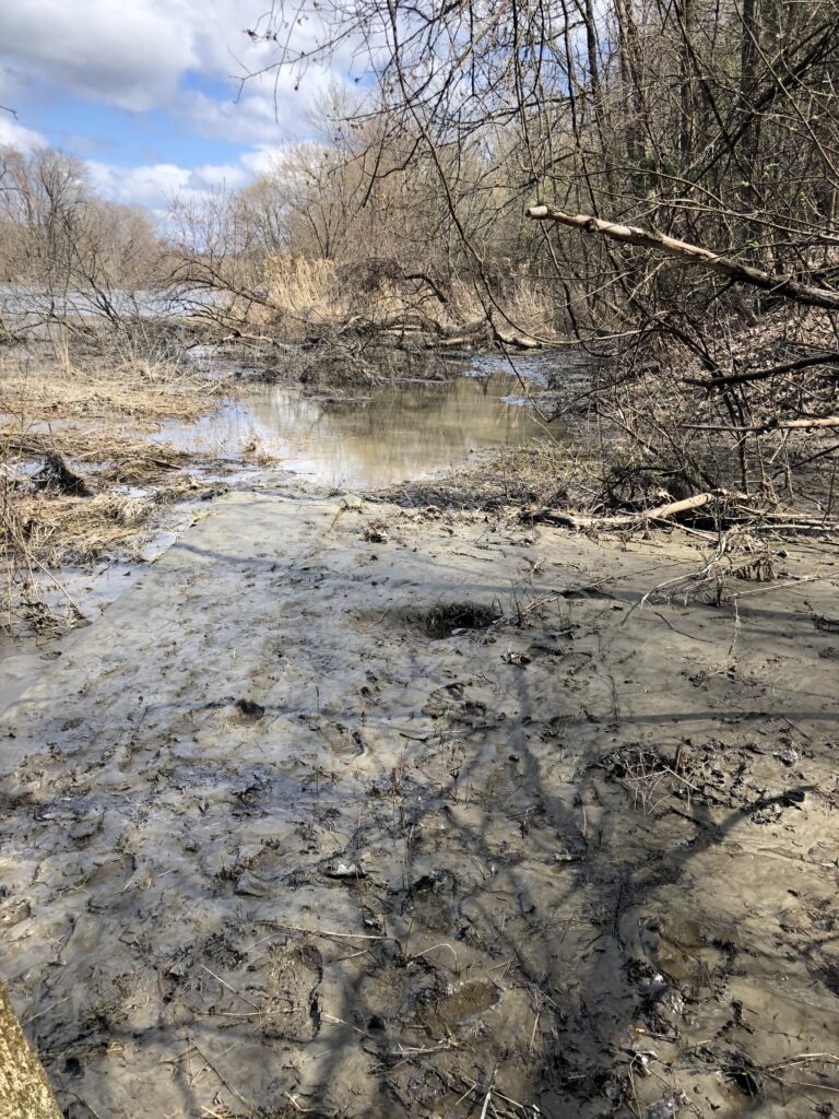
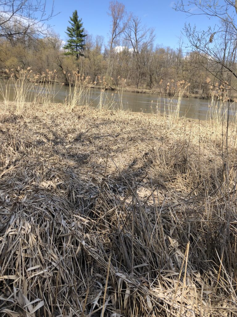
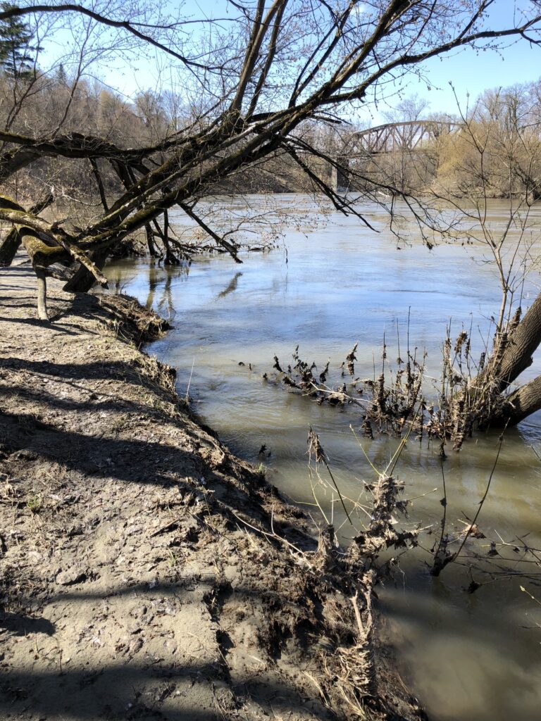
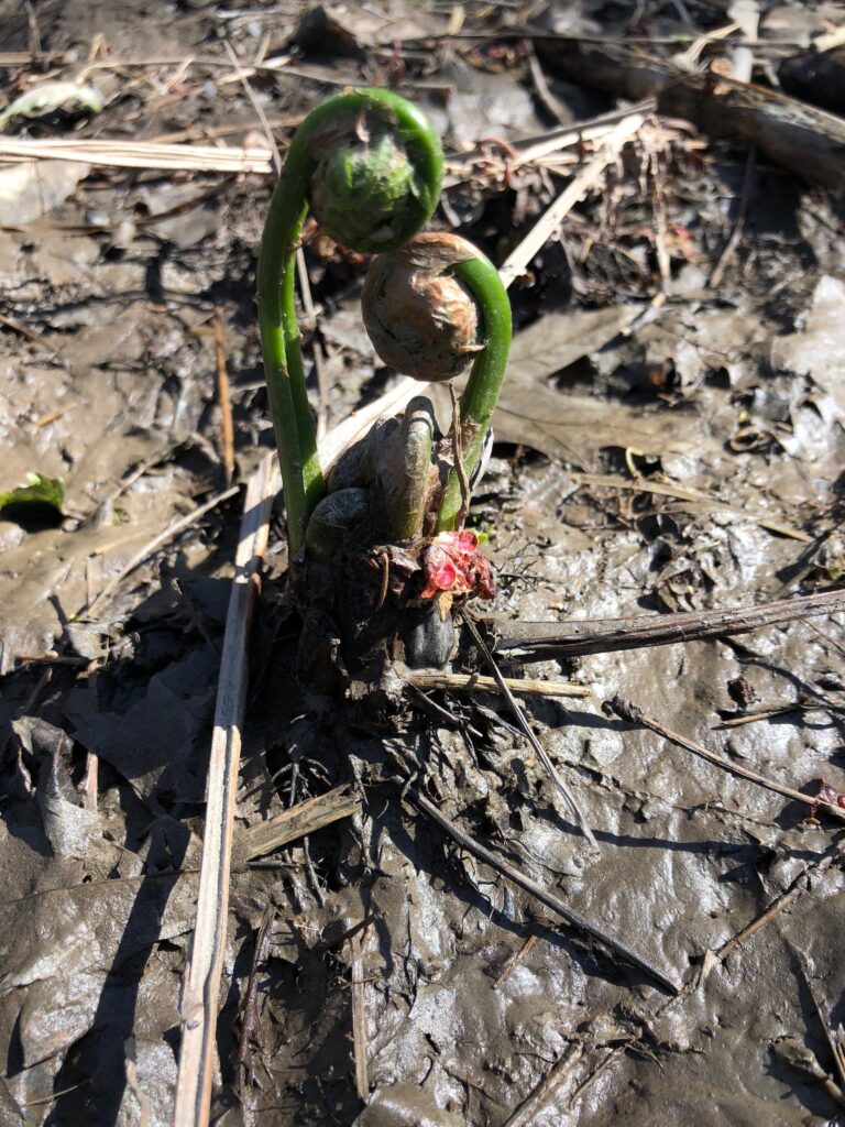
April/May
Everything is continuing to grow and I am excited to see how things look after then bloom. Maybe there will be more flowers in the area and MORE BIRDS!?!?
Thank you so much for documenting the phenological changes of this beautiful spot over the past year! I have truly enjoyed this assignment and I am glad I had this opportunity. I think I will continue to visit and pay more attention to the phenology of other places I frequent.