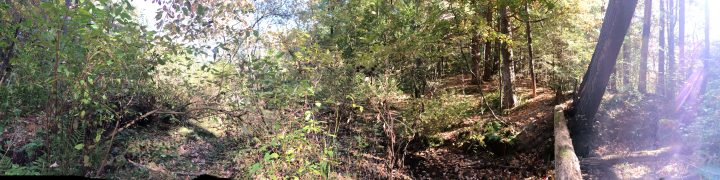
Though out the course we have heard a lot about the land-use history of a place. This land-use history effects the state of the place today, effecting the vegetation, animals, etc. Through class and various labs, I had heard that Centennial Woods was once farmland. Signs that point to this include stonewalls, old barbed wire, and the types of trees there.
As I sat in my phenology spot this week I thought about the land-use history of the place. I was really hung up on the idea of what my spot may have looked like back, decades to hundreds of years ago. Using Burlington Geographic as a resource I was able to find some old maps and aerial pictures of Burlington, including Centennial Woods. Although back in the day they didn’t have the option on their maps to click the little man and see the street view like we do on Google Maps, being able to even see aerial photos of the area was so interesting. Knowing the land-use history of a place not only increases your connection with the land, but it also helps connect you to the people of the pass that sat in the same place as you.
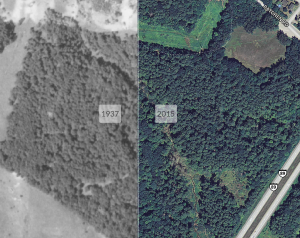
Map of Centennial Woods
Burlington Geographic and Google Maps
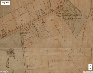
Map of Burlington (Hopkins, G.M. 1890)