Feeds:
Posts
Comments

My Place and I

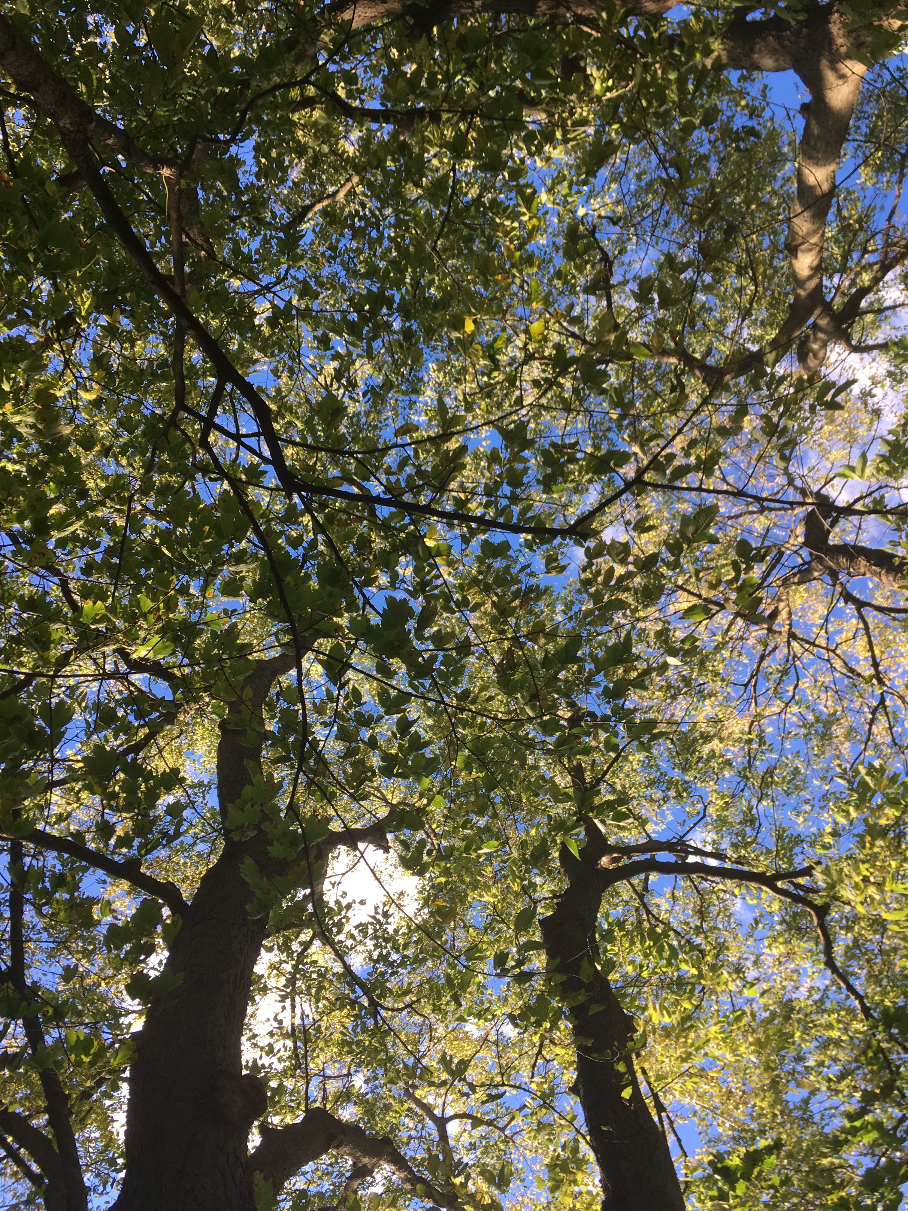
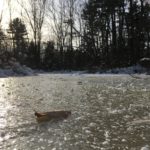
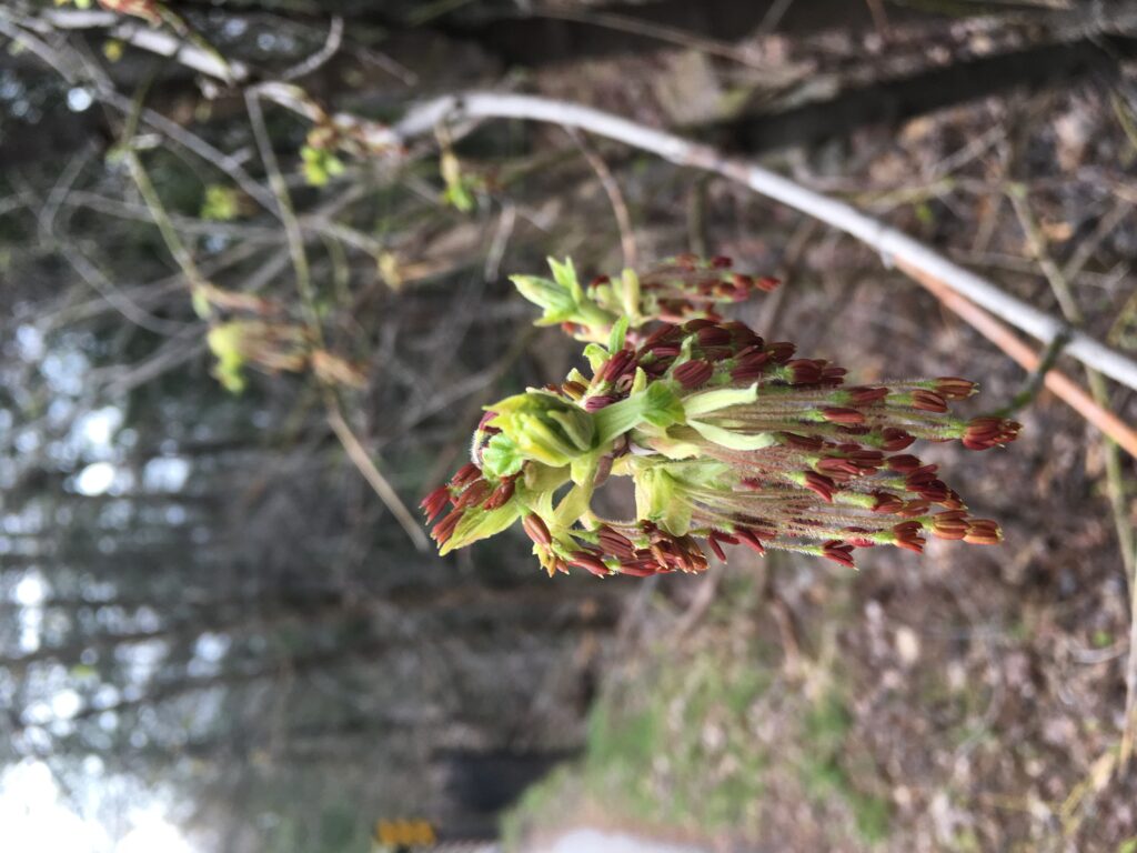
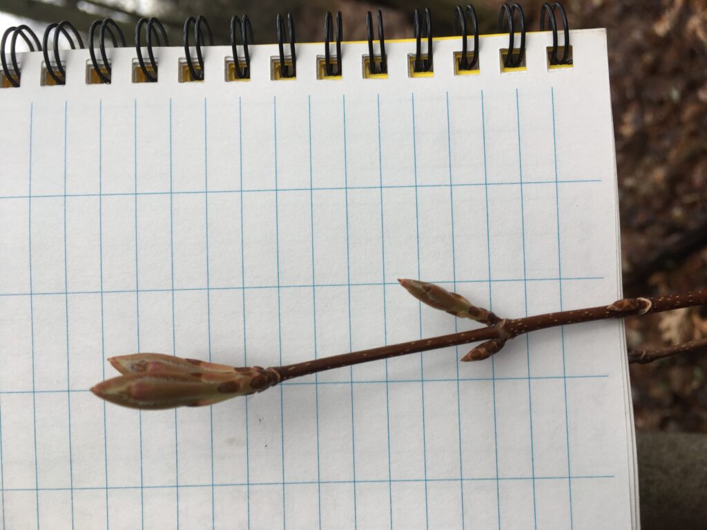
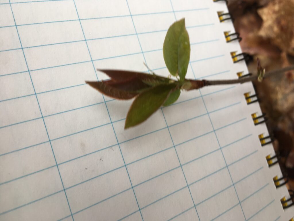
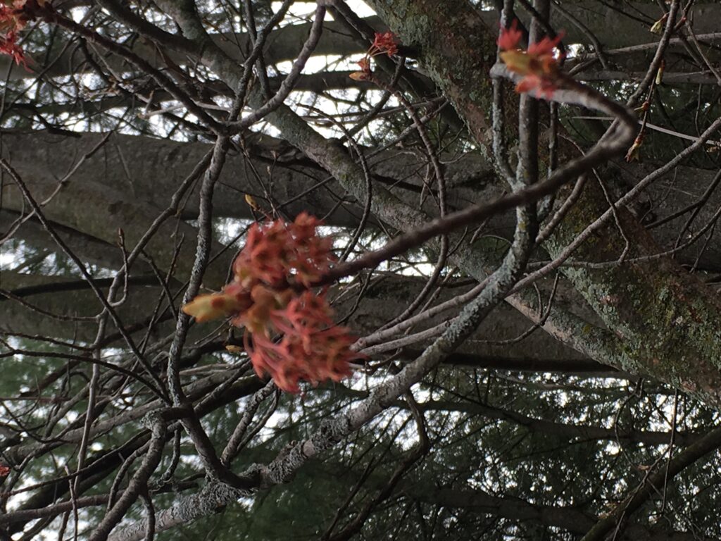
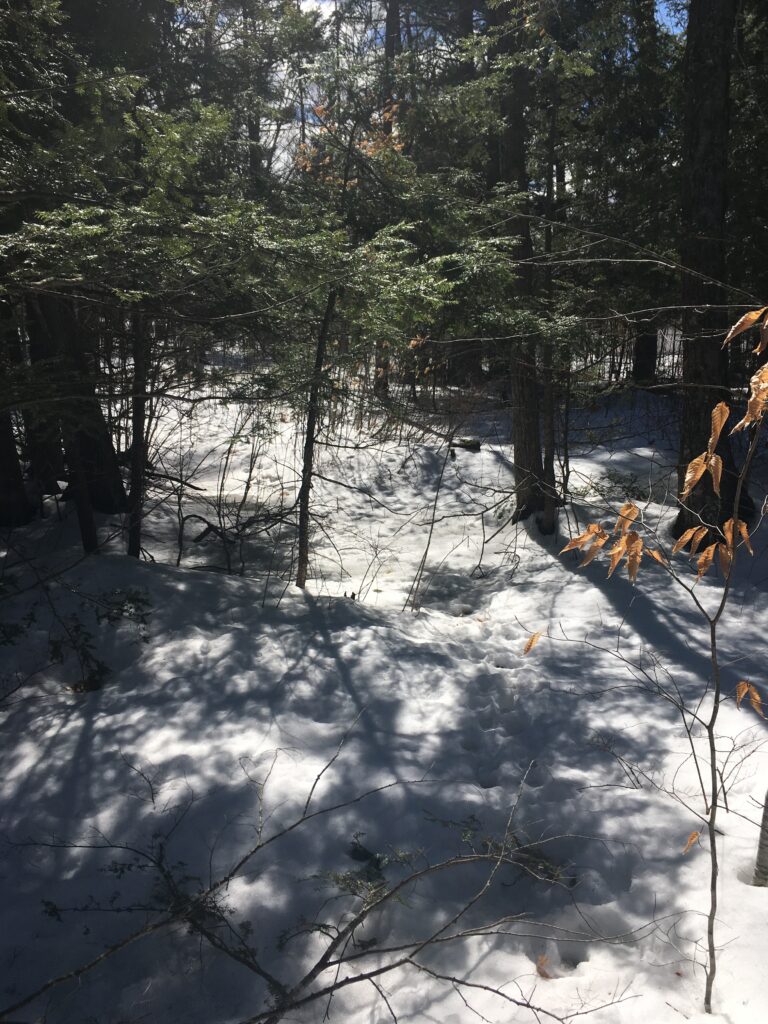
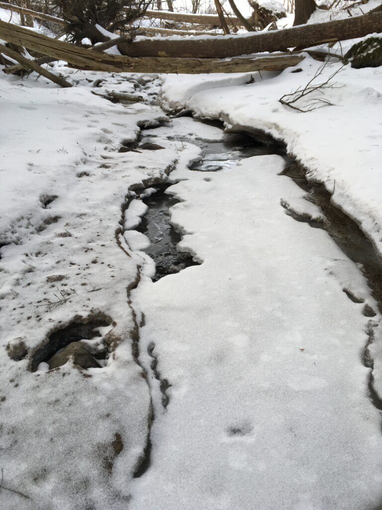
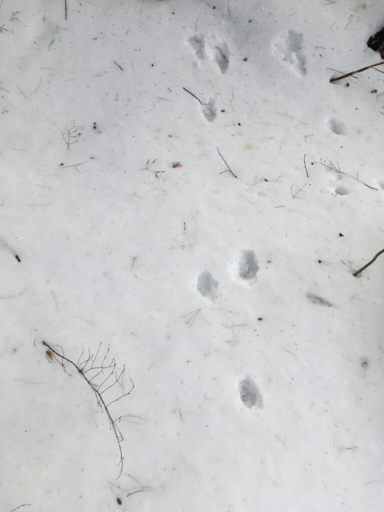
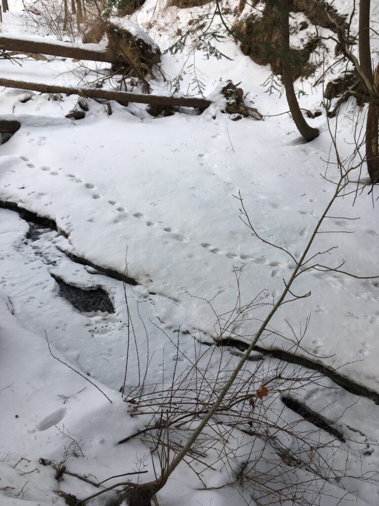
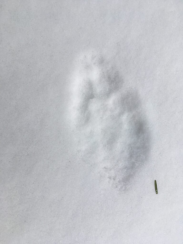
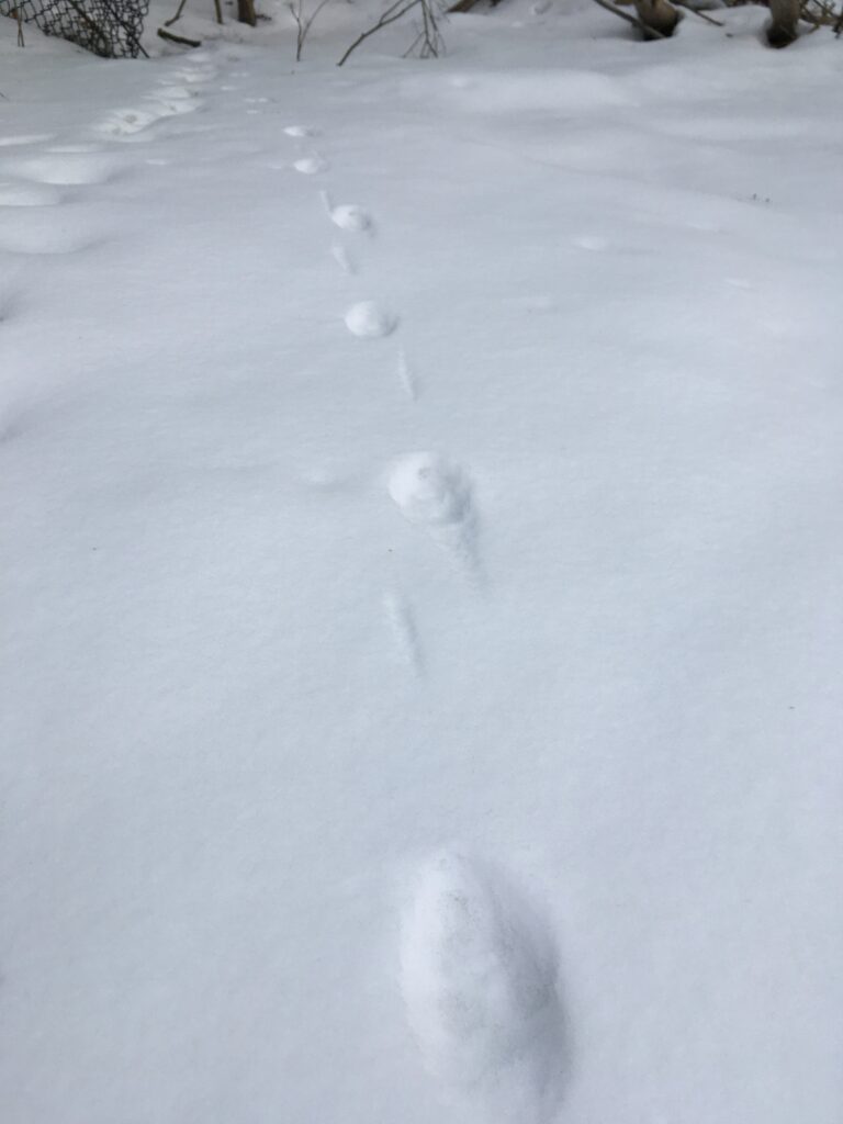
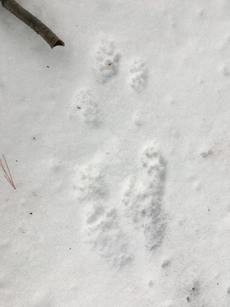
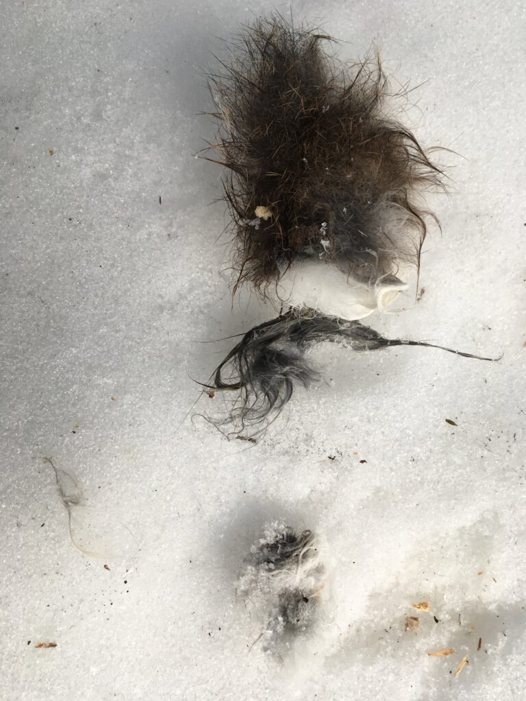
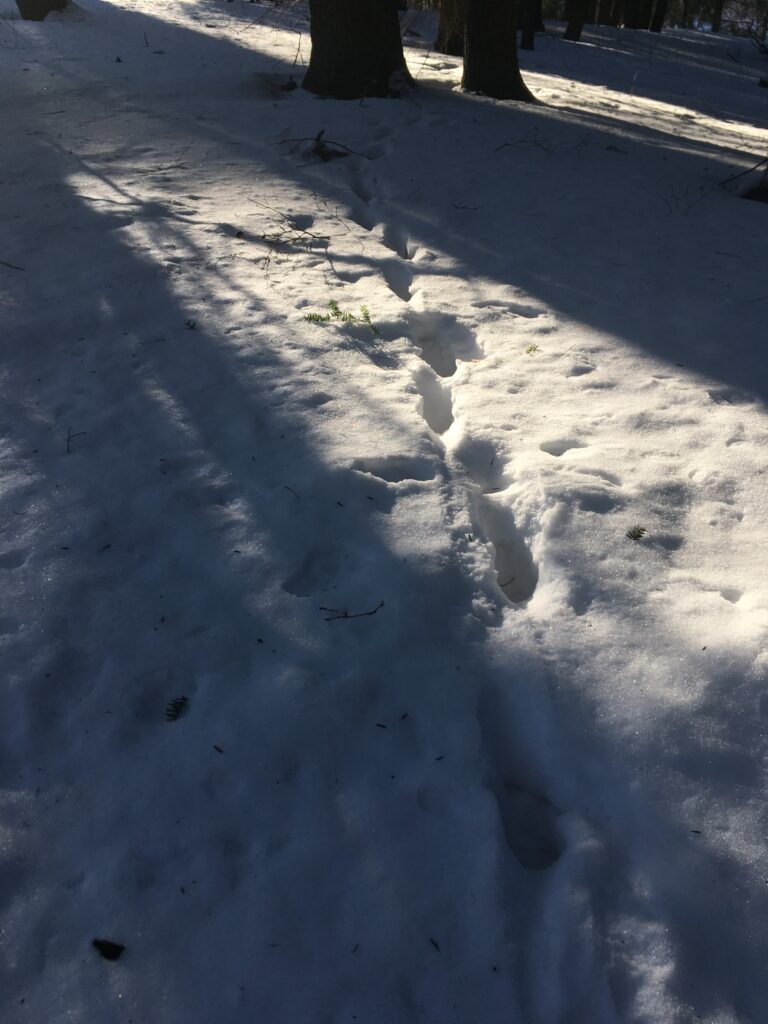
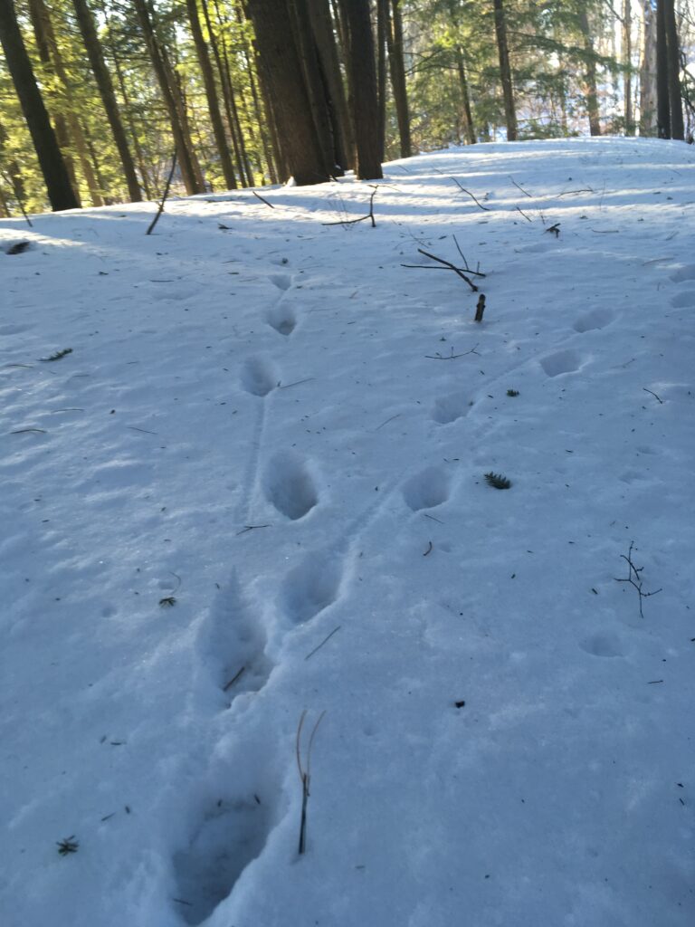
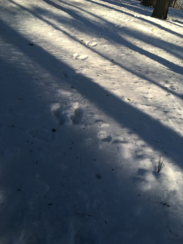
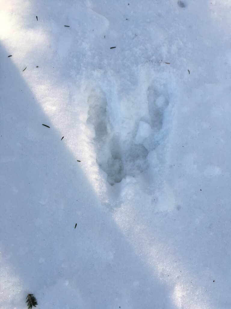
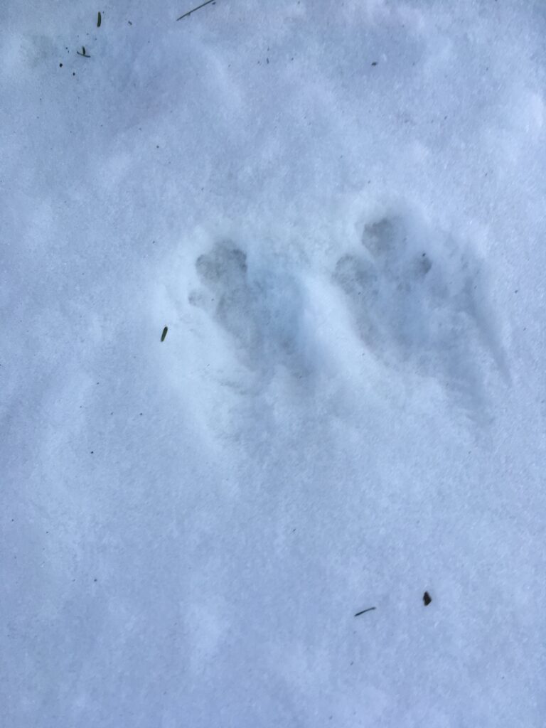
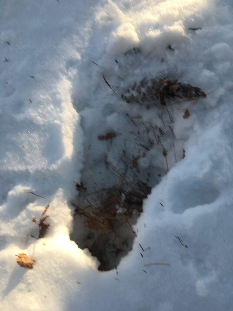
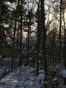
Today was my last official phenology visit and the spring time seasonal changes are apparent on my site. It was a wet after a day of rain, leaving an aromatic smell of wet soil in the air. While on my site I saw a grey squirrel and saw/heard a number of birds. I observed many chickadees, mourning doves, and gulls flying over head.

Listen closely for the bird songs.

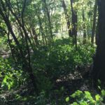
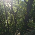
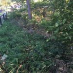
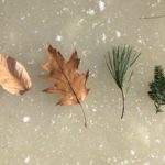
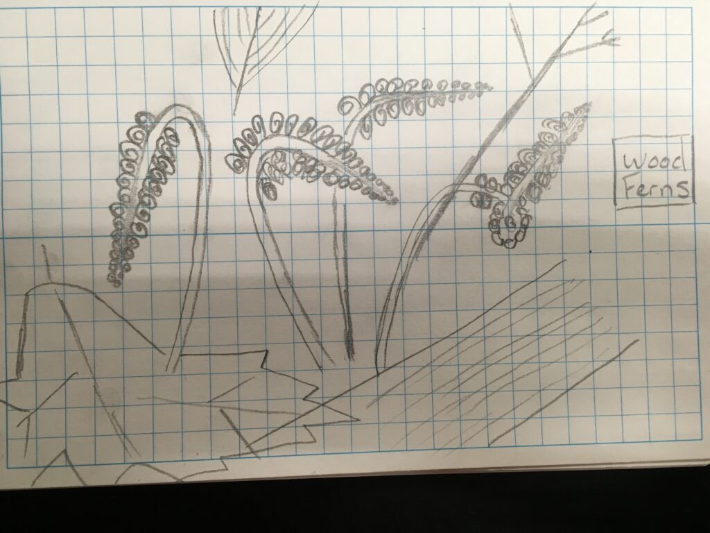
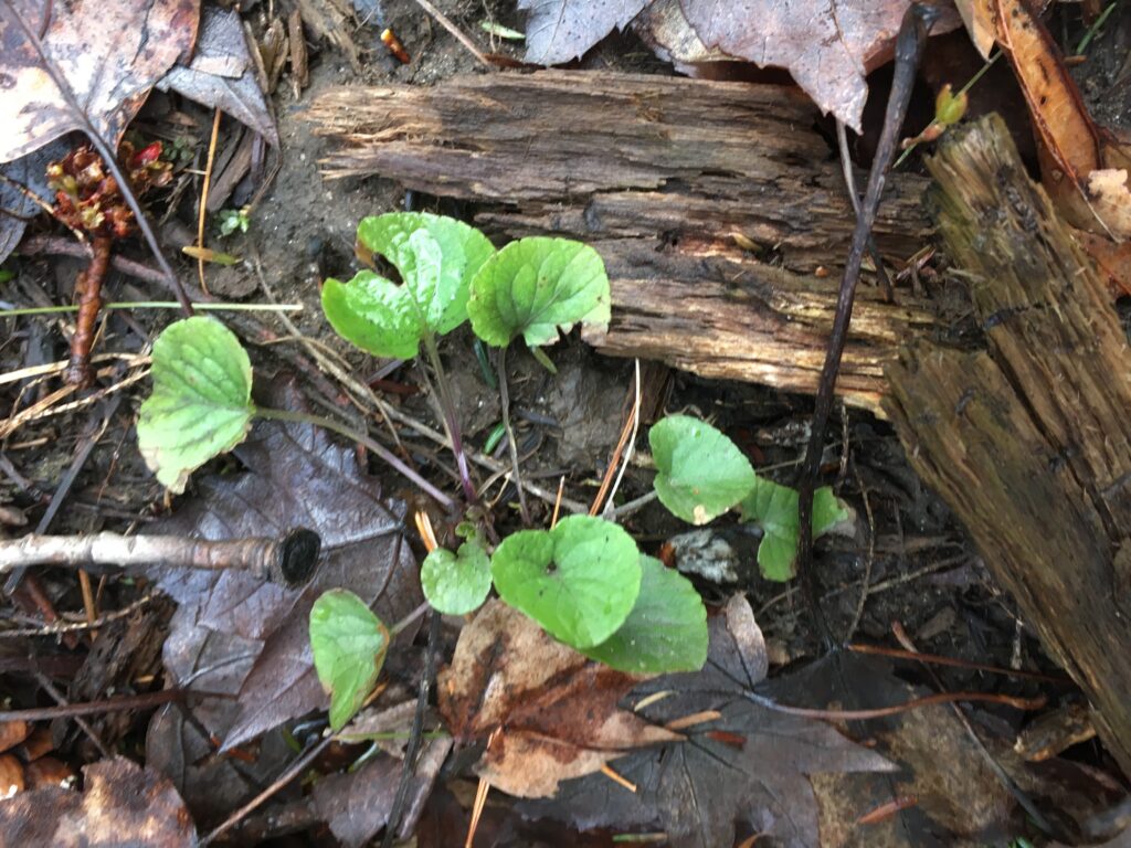
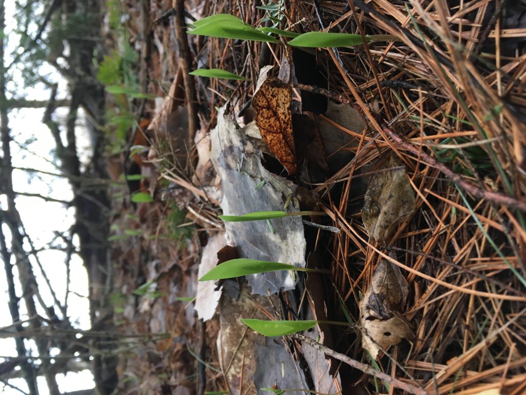
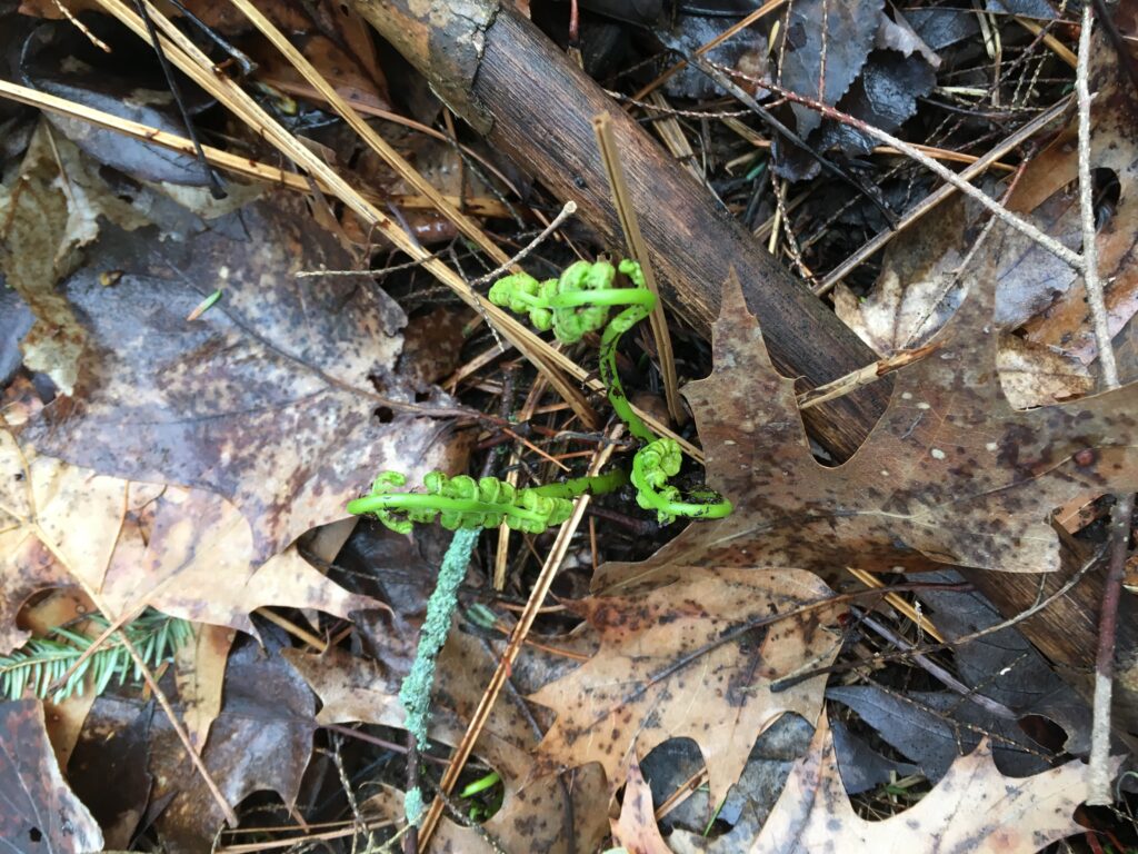
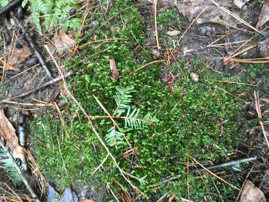
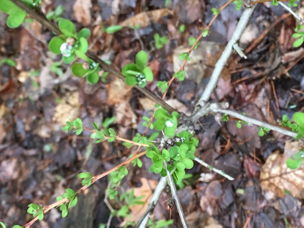
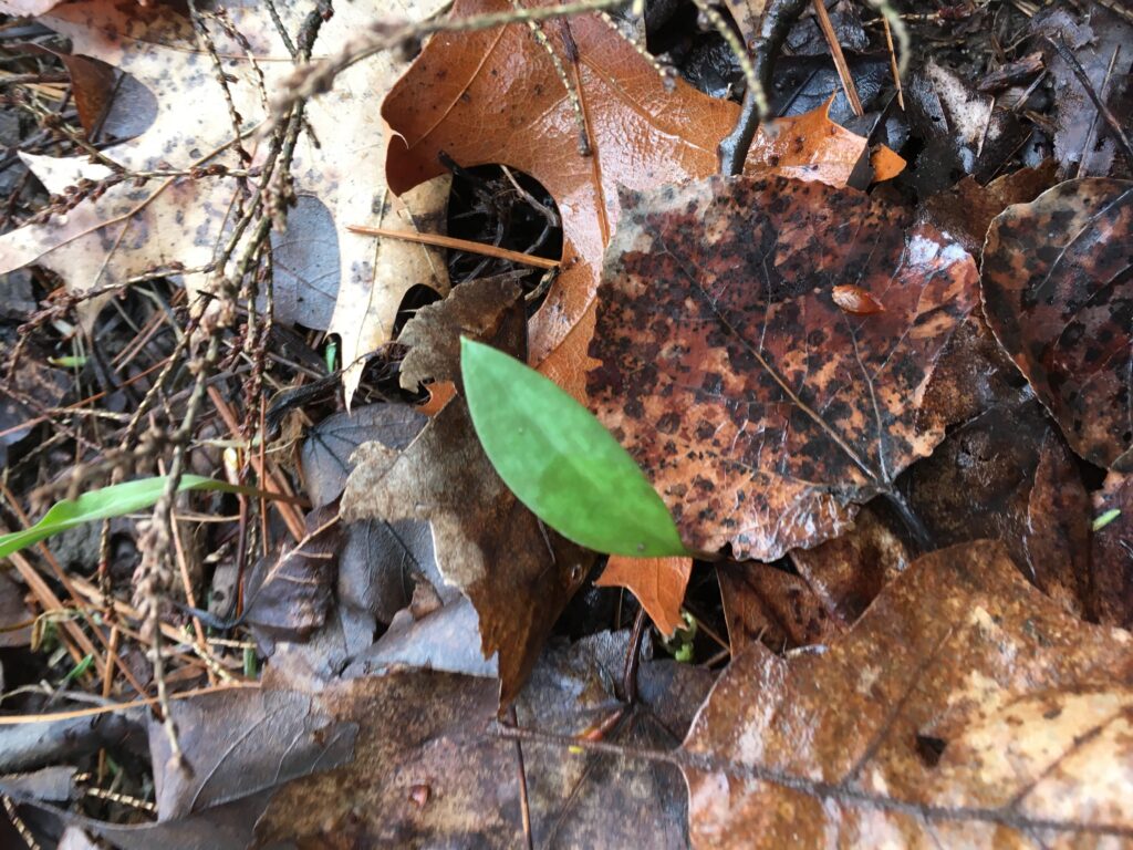
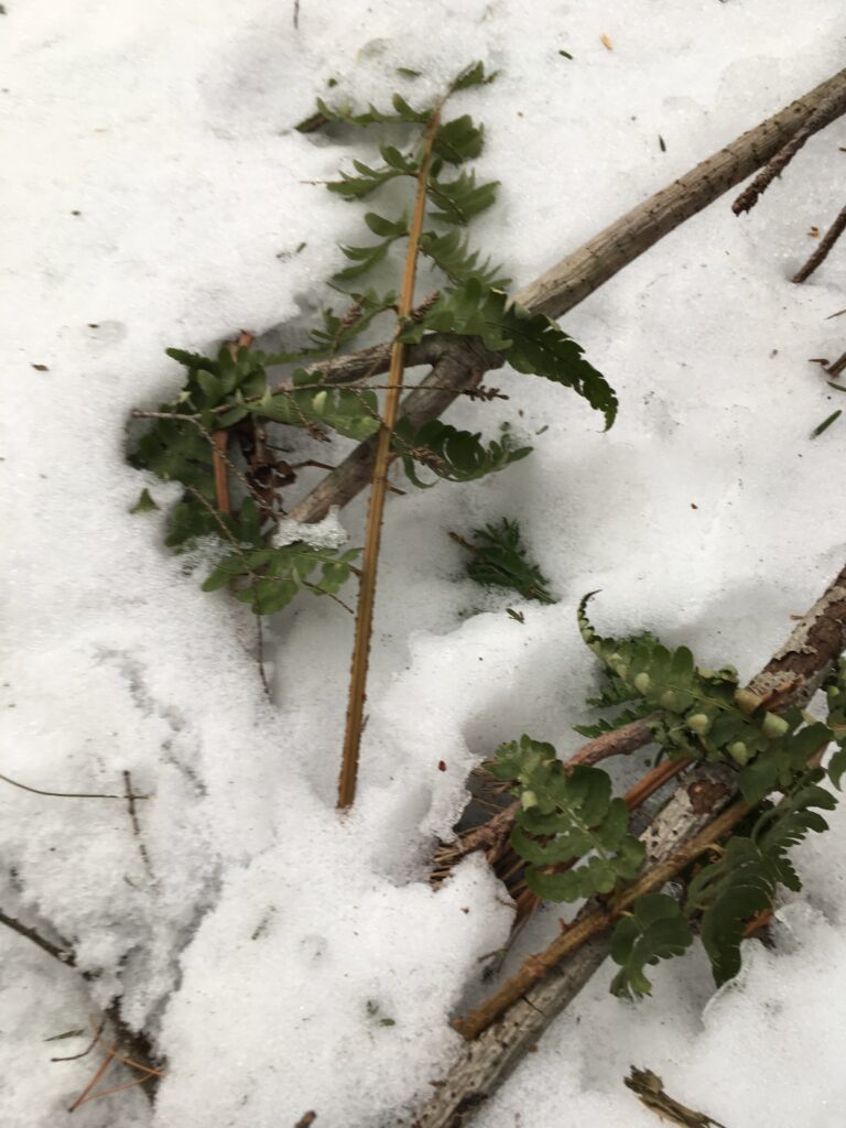
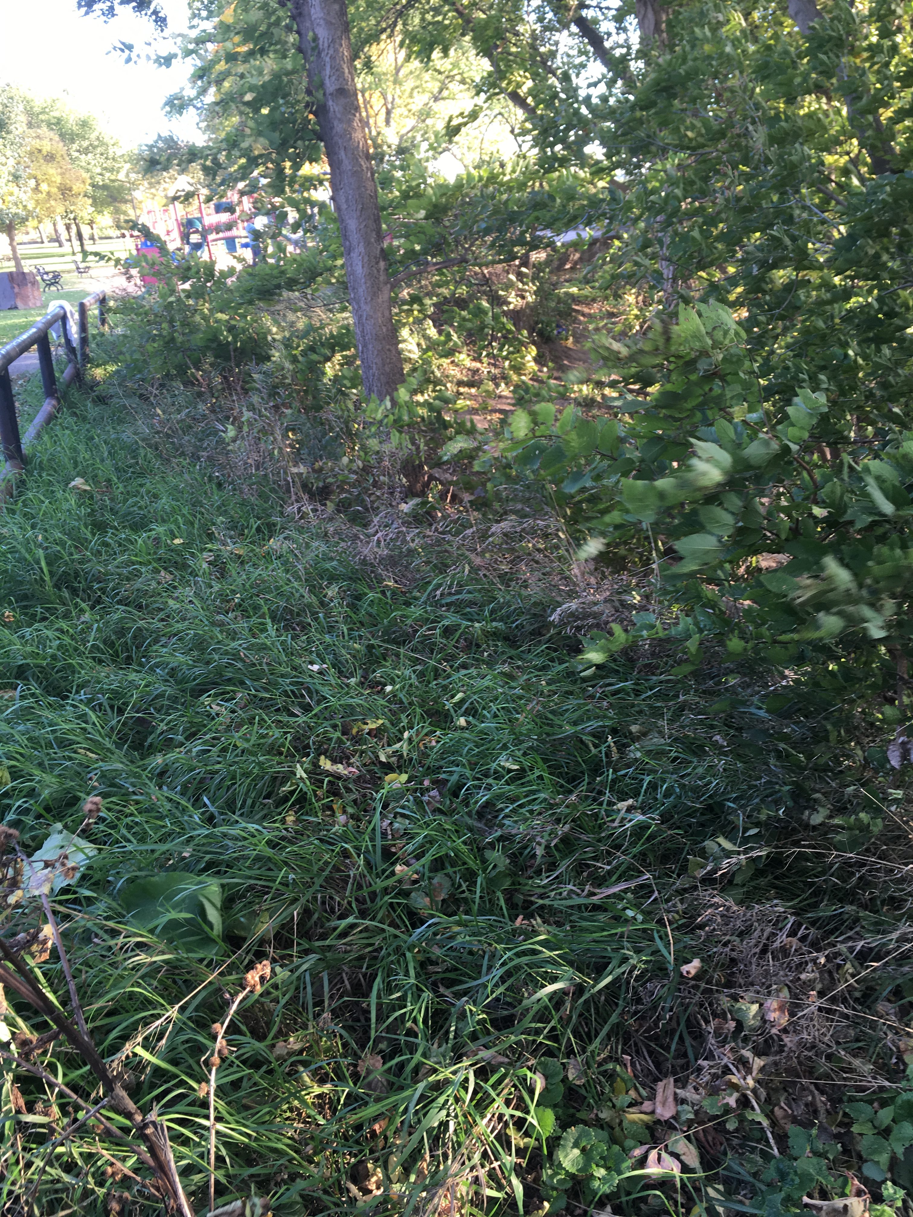
I noticed that there were even more ferns and yellow throated lilies poking through the soil than last week. These two species are clearly the most dominant undergrowth species in the very shaded and moist environment.
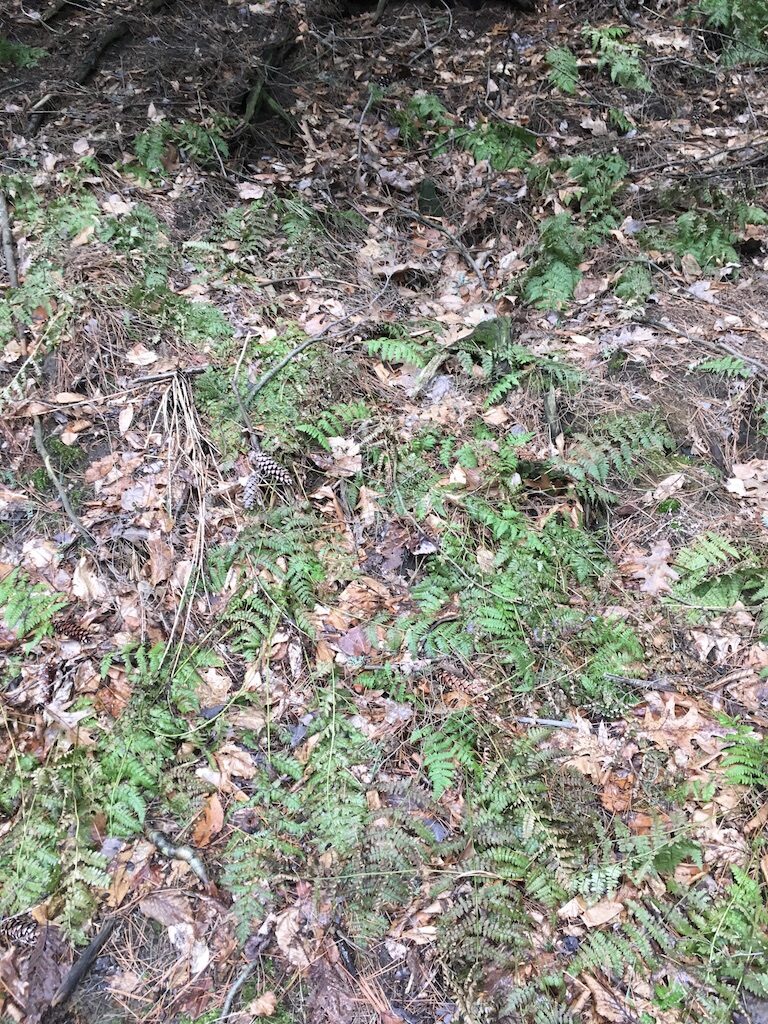
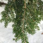
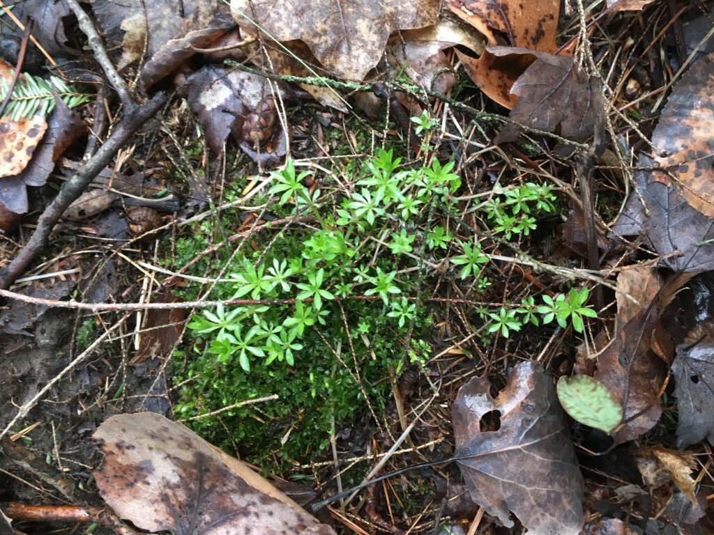
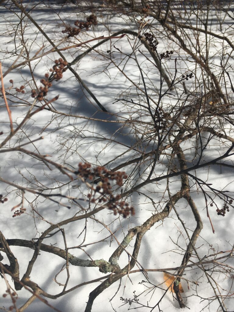
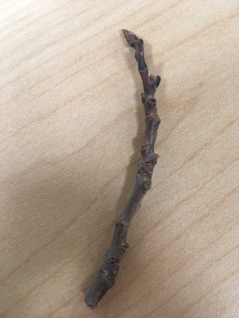
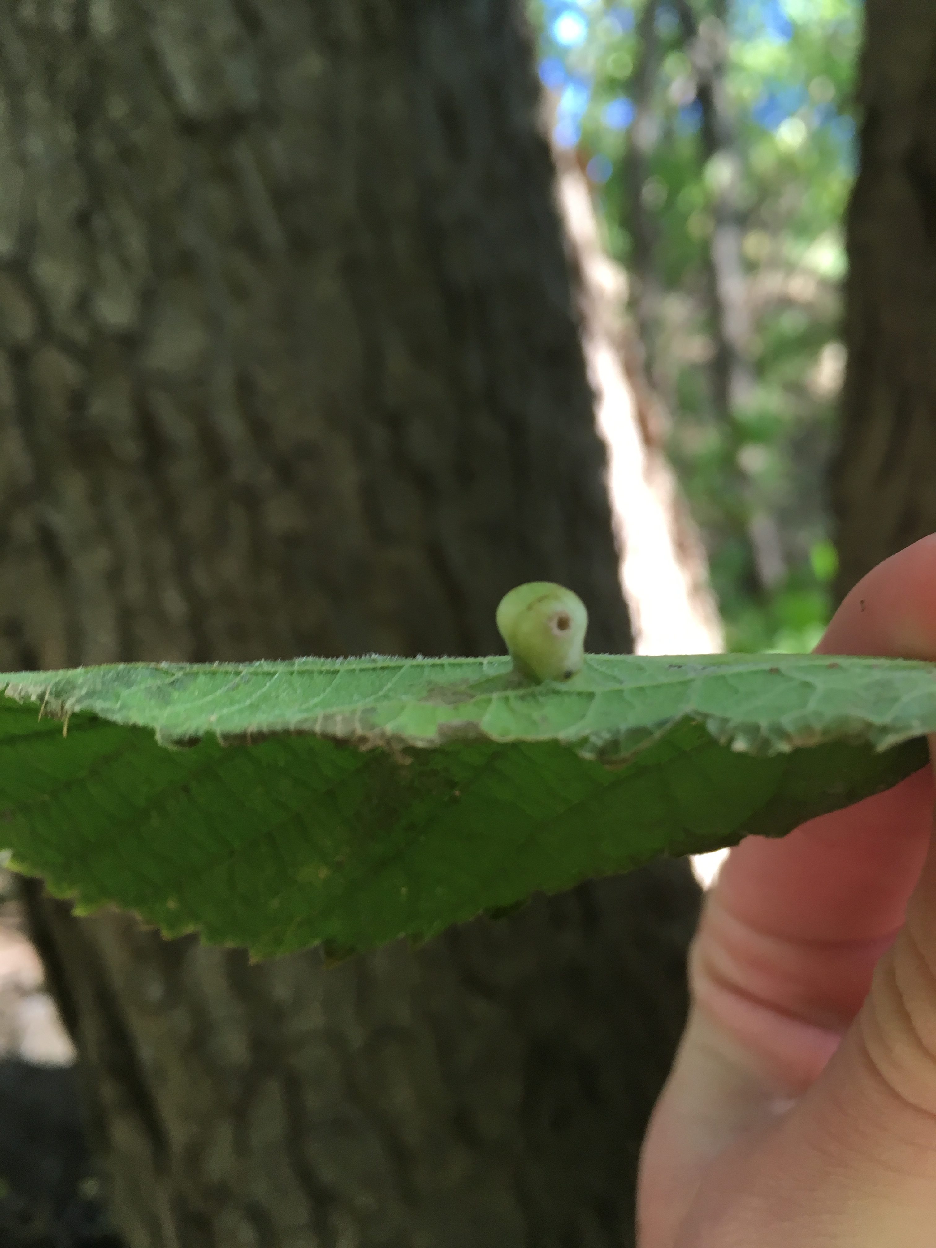
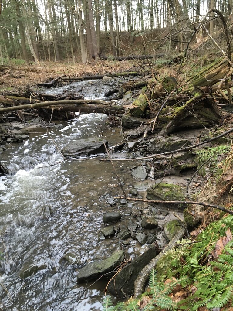
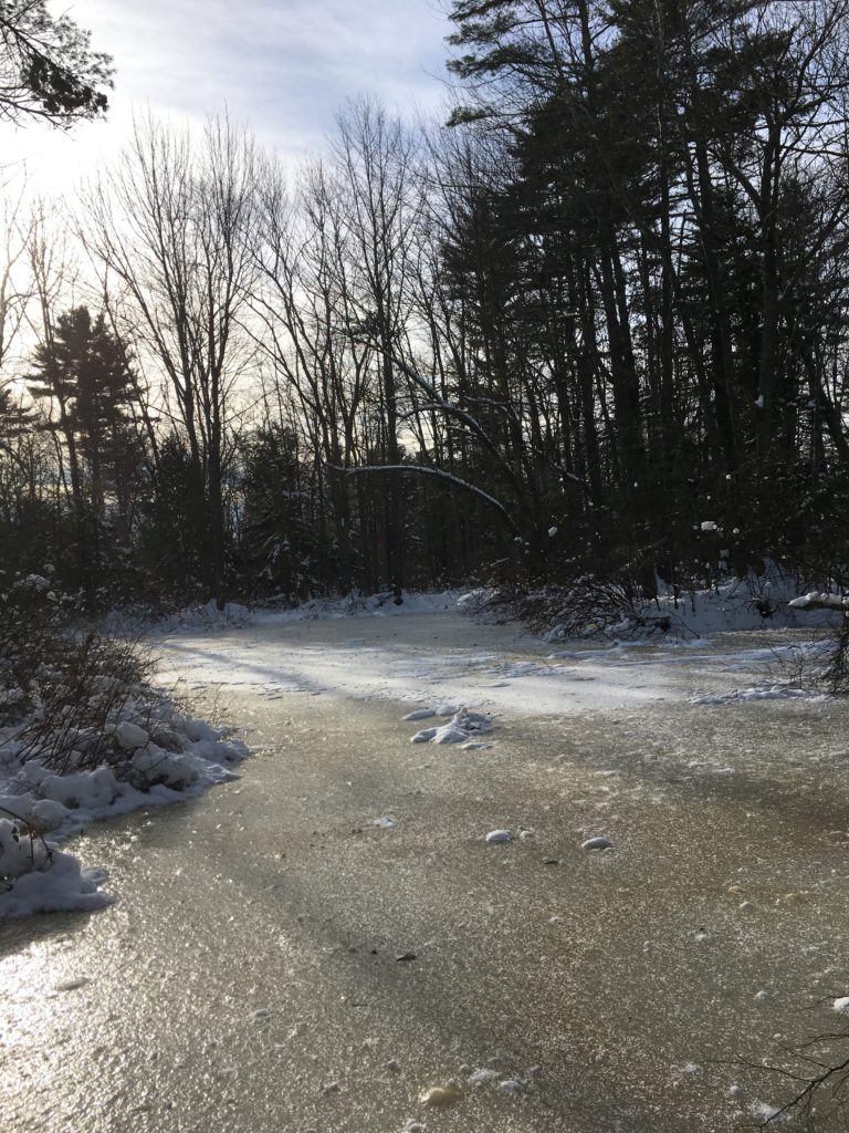
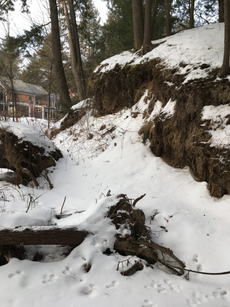
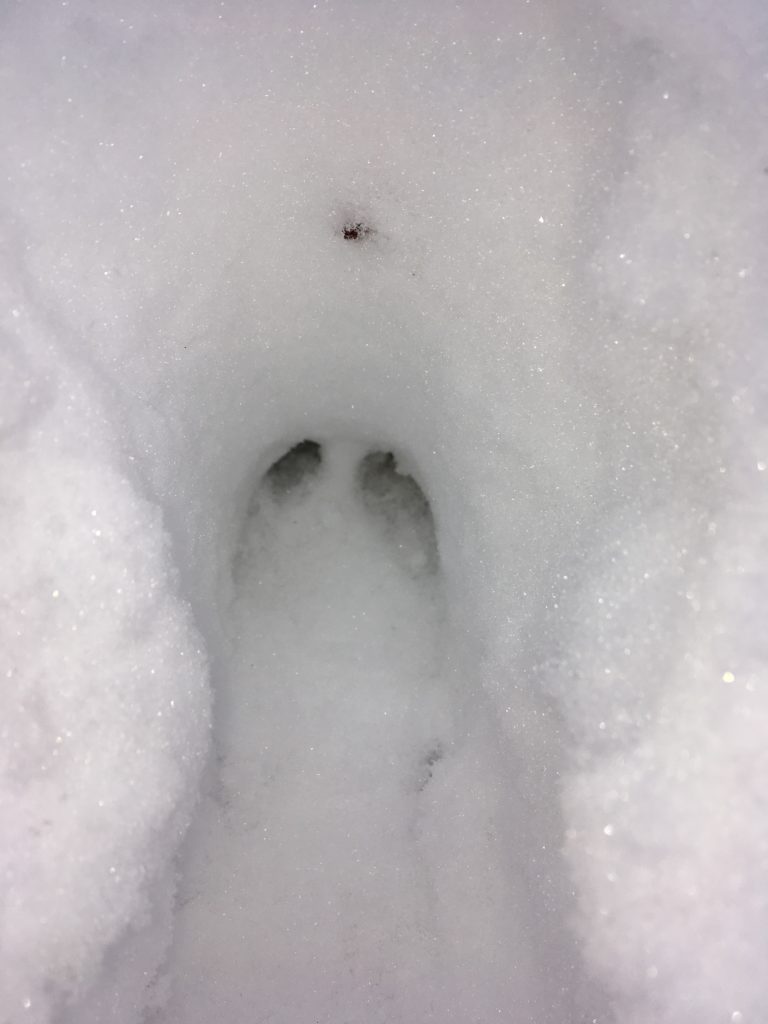
Another change to the landscape is noticeably increased amount of water lowing though the river. This makes me wonder if erosion and sediment flow is greater in the spring time due to the increased flow of water.

Strong flow in the river.

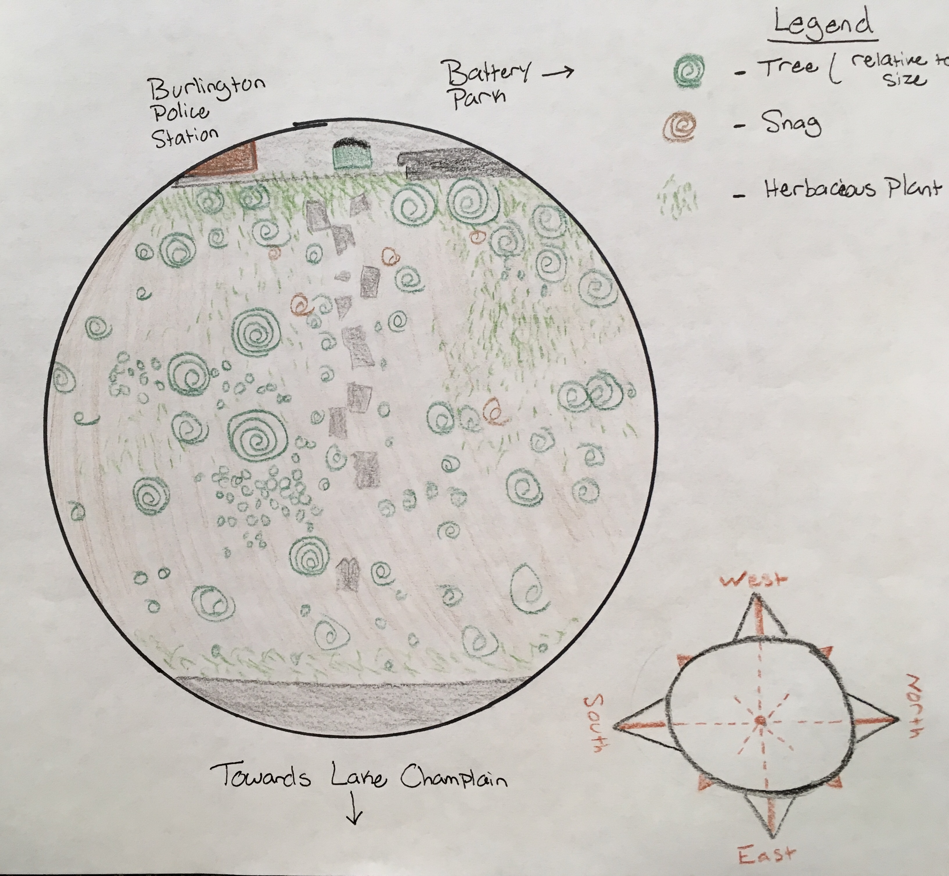
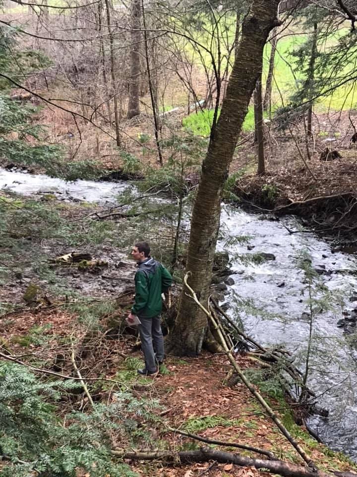
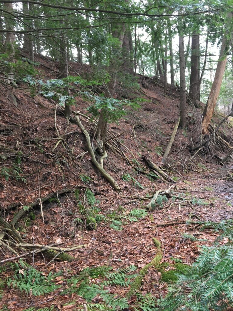
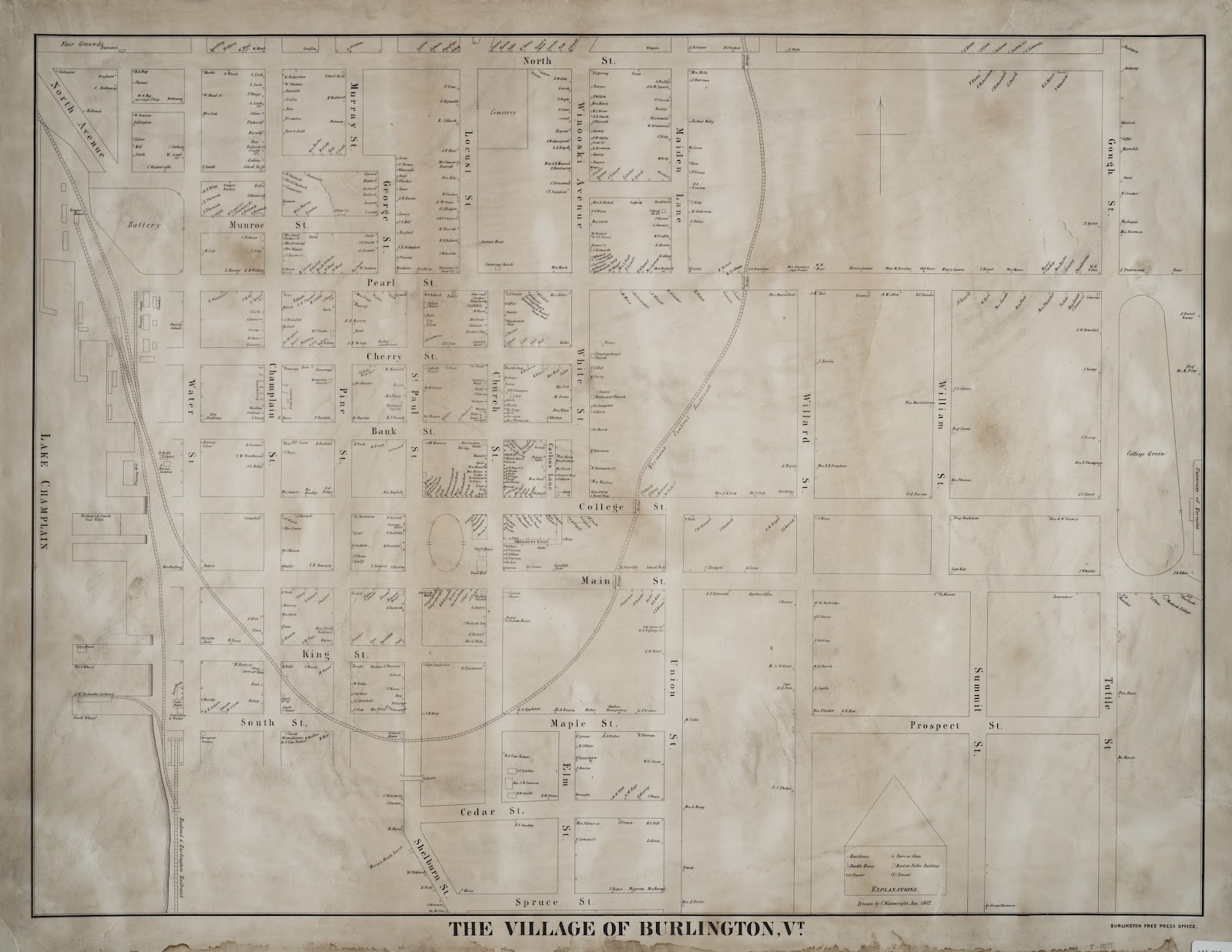
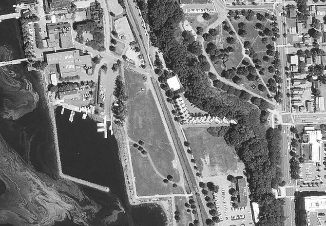
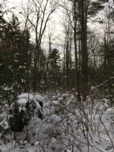
Nature and culture intertwine significantly on my site. The site is surrounded by different cultural borders. The field of the Aiken Forest Research Center sits to the East, a paved trail and large bridge border to the South, a neighborhood is to the North, a field with power lines sits to the West. These cultural factors fragment the natural area and create edge effects limiting the forest’s viability as habitat for some species yet supporting it for other species. I have seen trash haphazardly left outside the neighborhood and blown into my site. This could harm the animals living there and will pollute the area if left unattended. A positive interaction between my site and the abutting neighborhood is bird feeders and sequential bird watching that happens on the back yards of these houses. This supports bird populations, draws them into the area, and offers a connection between humans and the nature in their backyard. Another interesting intersection is the noise from the nearby highway penetrating the site. I wonder if this affects some of the species that frequent the site. Another intersection if the materials that the river brings flowing into the site. I have tracked a tributary of this river that runs directly through a nearby farm. If this farm uses any pesticides or insecticides it is likely that they run off into the river and flow through my site. These toxins could impact the species in the river, bioaccumulate through the trophic levels of other species on the site and even into humans eventually.

I do consider myself part of my place because I have grown intimately with it over the past semester. I know things about the place that could only be realized after months of patient observing. With that being said, I am a very removed and distanced observer of the place and nothing more. I have not affected any change on the place my self or take part in any of its systems.

Happy Earth Week everyone! This is a time of year where we need to stop and take a moment to appreciate the beauty and life giving processes that Earth provides us. Take this appreciation one step further and make a change in your life to protect the beauty and abundance that our Earth provides us. Earth Week is a great time to reevaluate our life choices and make a change.

Spring is here and in full force in Vermont. This seasonal change is apparent at my phenology as the landscape is responding to the warming temperatures. The deciduous trees on my phenology site are budding and shrubs are pushing out fresh, green growth. The American beech, yellow/white birch trees are opening their buds. The rest of the trees on my site are coniferous so there is little visible change to these. In the understory, wood ferns, partridgeberry, yellow trout lily, honeysuckle, and barberry are all showing new growth. An observation I had was that the majority of the ferns grew closer to the river. This may be because of the increased moisture there.

I also noticed that the stream running through my phenology site is much higher. I suspect this is from the large amounts of snow melting from the mountains and rushing down the rivers towards Lake Champlain. With this increased flow, the river is running much faster. Another thing that became apparent to me is the effect of the river on the topography of the landscape. The river cuts through a valley and as it meanders, has deposited sediment in some places and eroded it in others. there are some spots with substantial erosion much higher than the river is at right now. This means that the river must have been at that level in the past and has slowly cut deeper and deeper into the valley.

Gorham, Maine Phenology

The site I chose to study while on spring break in my hometown is just behind my house. I notice some similarities and differences between my Burlington site and Gorham site. They both have water features — with the stream running through my Burlington site and a small frozen pond hidden in the woods of my Gorham site. These features significantly effect the hydrology of both areas. My Gorham site does not have the steep slopes and plateau ridge that my Burlington site does. Instead, the forest floor undulates significantly with the majority of trees and vegetation growing out of the higher spots. My Gorham site has a greater mix of deciduous and coniferous trees with lots of hemlocks and red oak, some eastern white pine, sugar maple, red maple, American beech, and white oak. This site also has much more of an understory than the site in Burlington. I suspect the reason for this is the amount of sunlight that is able to get through to the forest floor. The Gorham site has a less densely packed canopy which allows high bush blueberry plants, buckthorn, and maleberry shrubs to grow (https://www.distanthillgardens.org/workshop-resources/tree-shrub-id/). There are more of these shrubs on the outer edges of the pond, possibly due to the greater amount of sunlight available there. I heard what I believe to be a tufted titmouse call (https://www.allaboutbirds.org/guide/Tufted_Titmouse/sounds).

Regarding the natural history of this site, I believe it is a forest that was not logged durning the 1800s-1900s. I can make this conclusion because i see little evidence of logging. There are also very few shade intolerant trees, most notably white birch, and a significant number of American beech. American beech was very common in the Eastern United States in pre colonial times but after logging, wasn’t as dominant due to the greater amounts of sunlight reaching into forests.

Frozen Pond
Maleberry shrub

I noticed evidence of deer crisscrossing through the landscape. The large number of hemlocks make the site a great spot for deer because they like to take shelter beneath the boughs of the tree. Judging from the number of tracks and their size difference, I would estimate that a group of 3-5 deer have made these woods their home for a period of time.

Area of high deer activity under hemlock trees

I also noticed many areas of deer scat.

The Hemlock Swamp

My phenology site is classified as a hemlock swamp. It is a softwood forested wetland dominated by hemlocks. The book Wetland, Woodland, Wildlands provides evidence that my site is a hemlock swamp. First, it is in the climate and elevation range – at lower elevations below 1800 feet and in a warmer climate. My site is nestled in Champlain Valley at a mere 400 feet where it is generally warmer. Hemlock swamps receive mineral enrichment from surface water and the water is generally slightly acidic, which seems probable at my site. Hemlock swamps have very thick canopies – blocking sunlight and limiting the amount of undergrowth that can grow on the forest floor. The only two dominant undergrowth species are moss and ferns.

Cinnamon Fern

My site also has a very thick canopy and moss and ferns are the only undergrowth present besides that near the paved path where the sun could reach it. My site contains many of the species common to hemlock swamps the dominating eastern hemlock, eastern white pine, yellow birch, cinnamon fern, and moss. A stream cuts through the middle of the landscape and is bordered by a steep, eroding slope. This valley is the lowest point in the approximate area around it. This is why the stream flows here and it is a moist area.

There have been some slight phenological changes on my site. Due to the recently cold temperatures, the river is nearly entirely frozen over with water flowing beneath the ice. The ice allows animals to freely cross the river with no difficulty – something that may have been a challenge when it is not frozen.

Another phenological change I noticed was a number the the eastern hemlocks dropping their pine cones. A different explanation for this however could be squirrel activity.

Eastern

There has been ample precipitation lately and this has caused some changes to the stream banks. There seems to be new erosion and mud breaking away from the bank due to the increased precipitation.

During my visit, I saw lots of evidence of wildlife. I saw a flock of 6 song birds flying over head, a crow, and a squirrel. Other than this, my site is littered with animal tracks.

I also discovered a den of some sort where I suspect an animal is hibernating and avoiding the cold. I also saw a freshly drilled woodpecker hole in an eastern white pine. Lastly, I saw a tuft of animal fur which I can only assume came off of a prey animal when caught by a predator.

New Year, New Site

I have chosen a new phenology site to study for this semester. This site is easiest to get to by biking. There is a well kept sidewalk that runs along Spear Street directly from UVM’s campus. The site is about 1.5 miles from UVM. You will know you are almost there when you pass the George D. Aiken Forestry Sciences Laboratory. Continue along this path until you get to the bridge, the site will be directly to your right at this point.


To view a map of my new phenology site, please visit the following link:

https://drive.google.com/open?id=16shHYE-Pasq1mILa6x_8Xsj10B3RUVCJ&usp=sharing


My first visit to my new site was a great success. I discovered lots of animal activity and I am exited to continue to see the changes throughout the landscape. The site is beautiful, yet the tranquility is interrupted by the drone of the nearby highway. Despite this, it seems that animals are drawn to the river, sloping banks, and variety of trees. One thing I noticed was that there was much more of an understory growing along the path, but very little after moving 5-10 feet into the site. I reason that this is because the path provides opportunity for the sun to reach the understory. In the center of the site, Eastern Hemlock and Eastern White Pine grow with their thick branches catching the majority of the sunlight.

Winter Twig Identification

Deciduous trees on my site include:

Red Maple:

Red Maple Twig


Red Oak:

Red Oak Twig


Black Cherry:

Black Cherry Twig


American Beech:

American Beech Twig
-Image taken from “The Forest Forum”

Wildlife Activity

My site was riddled with animal tracks. The main set of tracks I followed and studied belong to what I believe to be a grey fox. 

The fox’s tracks had four toes with an X in its negative space. The track’s width was 5 cm and its length was 5 cm.

I followed the tracks from where they entered my site on the west side of the river, across the river, up the steep slope, directly through the center of my site, and out on the other side where they entered a trail used by walkers and cross country skiers. I lost the tracks here. The fox moved directly through and seemed to be walking at an even pace. The tracks lengthened just before a log that the fox jumped on top and over, and they shortened on the other side where it landed.

One curious aspect of the tracks is that at one point, there were two sets of fox tracks with the same measurements that converged into the same path. The second set of tracks led across the river on the other side of my site and near a residential area. This could mean there were two foxes or the same fox visited my site at two different occasions and may frequently pass through.


I also noticed many grey squirrel tracks throughout my site.

The tracks showed a clear galloper pattern with the front feet landing and the larger back feet falling in front.

Here, you can see a clear print of just the squirrels front feet.

The squirrel(s) weren’t on the ground for very long and each track went immediately from the base of one tree to the next, except for one. One set of tracks let from a tree directly to this spot of disturbance in the snow with a pine cone and pine needles in it. I reason that the squirrel stopped here to eat some sort of food, possibly something that fell from the trees.


The natural areas in Burlington are very integrated with the human processes that take place here. According to Burlington Geographic, Native Americans were present in the Vermont and Burlington landscape for thousands of years and in more recent times, this has been the Abenaki. These people most likely moved through Burlington seasonally. European settlers  began settling in Burlington about 200-300 years ago. Most of the cultural features of the landscape were created by these settlers and in 1772 when the Allen brothers moved to Burlington, industry had taken hold of the landscape and began to shape it (Berrizbeitia).

“By 1792 there were a few buildings in present day Burlington. They were located near the lake shore in the oldest part of the city, on what was called Water Street, but is now called Battery Street. It was called Water Street because the lakeshore came right up to the edge of the street, hundreds of feet from where it is now. The shore was a steep bank, so the first settlements were around the Maple and King Street blocks where the land flattened out and access to the water was easier” (Berrizbeitia). This is a significant change because humans have molded the landscape, effectively pushing the lake back. In the late 1700’s, my phenology site would be feet from the water. The following map shows the lake shore encroaching an area called “Battery”, where my site is located now.

Image retrieved from: Berrizbeitia, I. (n.d.). Focal Places in Burlington. Retrieved December 7, 2018, from http://www.uvm.edu/place/burlingtongeographic/focalplaces/wf-ecology.php

In the 1850’s, industry exploded along the water front with power generating plants, train companies, water pumping facilities, and lumber yards dominating the waterfront’s landscape.

Image retrieved from: Berrizbeitia, I. (n.d.). Focal Places in Burlington. Retrieved December 7, 2018, from http://www.uvm.edu/place/burlingtongeographic/focalplaces/wf-ecology.php

My phenology site was abutting all of this industry and the majority of the trees were cleared during this time. I suspect that there were very few animals or more complex vegetation growing here at the time. The following images compare my site as it looked from a birds eye view n 1937 vs 2017.

The area surrounding my phenology site in 1937. (S., & M. (2017). Greater Burlington, 1937-2017. Retrieved December 6, 2018.)

The area surrounding my phenology site in 2017. (S., & M. (2017). Greater Burlington, 1937-2017. Retrieved December 6, 2018.)

Secondary secession occurred on my site between 1850 and the trees were largely grown back judging from the 1937 image, however, they matured and the forest seems to have filled in judging from the current image.


184 Miles East

184 miles east of my Burlington phenology site rests a familiar forest that I grew up exploring. The woods behind my house in Gorham Maine were my stomping grounds growing up. Here I would build forts, catch frogs, and explore nature. Coming back to these woods now, I look at it with fresh eyes. This forest is a northern pine-hardwood forest that is nestled in between a number of houses and housing developments on either side.

Notice the house through the trees.

At 2:00 pm on a cold, sunny Friday afternoon, I laced up my boots and made my way across the backyard into the woods. Immediately I noticed a number of deer tracks criss-crossing their way through the forest edge. 

The dominant red oak in the area is joined by American beech, eastern hemlock, eastern white pine, few ash, and a confined area of young paper and yellow birch.

This birch stand is abutting the edge of the lawn and must have recently been cleared within the past 10-15 years, when my house was built. The paper birch is a pioneer species, which thrives in the excess sunlight. This explains why the paper birch is secluded to just this area. Other signs of human interaction is a number of large stumps which suggests cutting for timber.

The forest is thick with woody, head height plants. I was able to identify some of these plants as high bush blueberry and buckthorn.


While walking through the deep snow, I noticed a very prominent undulating pattern of the forest floor. This wave-like topography of the forest generally corresponded with a higher volume of plants and roots when the altitude of the wave was at its highest. The roots of these trees and plants must hold the soil better and raise it up higher.

Additionally, the low spots in the forest corresponded with pools of frozen water. In fact, the forest is dominated by a small frozen pond. 

Evidence of wildlife that I noticed included a possible groundhog burrow, woodpecker holes in a number of the trees, deer tracks, and a chickadee sighting. The perpetrator of these woodpecker holes was spotted only two days ago when I saw a pileated woodpecker fly across the road into these woods. Additionally, I saw what I believe to be the tracks of some kind of rabbit, most likely a snowshoe hare.


.                                      


My home phenology site and my phenology site in Burlington have some similarities and many differences. The Burlington site is impacted much more by its human surroundings. Here I find remnants of a cement trail, trash, and hear sounds of the city all around. The Gorham location has seen human interaction in the past, when the neighborhood and houses were being developed, yet the signs of human interference are much less present. The tree species differ between the two locations with black locus, elm, and striped maple in  Burlington replaced by red oak, hemlock, Eastern white pine, American beech, and birch in Gorham. The topography of both locations is very different which affects the way water cycles through each system. The Burlington site rests on a steep downward slope, yet the forest floor remains flat. Water in this system runs off very quickly down the hill. The Gorham site has no hill but the forest floor undulates intensely. When water enters this system it will pool where there is a depression in the forest or in the small pond. The wildlife you might find in these locations is similar, yet there seems to be more and a greater diversity in the Gorham site. The Burlington site might have less wildlife because of its proximity to the bustle of the city. Squirrels, chipmunks, some song birds, and pileated wood peckers are present in both locations. My connection and sense of place is much stronger tied to my Gorham site, because I am more familiar with it and I have spent more time here.


Please refer to the following link to observe a map view of my Gorham phenology location:

https://drive.google.com/open?id=1acEJ7vum4bKCn0P-IDGS6SnrkFQKDvl2&usp=sharing

POETRY

Prepare

In between the hustle, bustle, and noise of a small city rests a secluded hill side forest.

The elms, locusts, and maples act as a fortress of peace.

If you look close, you can see it begin to prepare for the oncoming winter.

Overhanging on the front edge of the forest are the black locust,

You can see the yellow-gold edges peeking through if you focus.

Even the massive elm trees are no match for the cold,

As frost threatens, the leaves begin to fold.

The skinny striped maples look up to the mature trees,

As they understand how to get through the Vermont winter and not freeze.

Moving through the forest are squirrels, crows, and other creatures hunting for food for which to store,

An acorn here, a berry there, stored either in a cache or in the animal’s tissue, they search more and more.

As the whole forest prepares, I look on and and feel lucky to witness these amazing natural changes.


A Brisk November Morning

I had a pleasant visit to my phenology site on a brisk November morning. The wind was rustling the leaves of the elm and locust trees that are stubbornly hanging onto their branches. However, the trees are beginning to show color now. The black locust trees are showing signs of changing to their striking golden-yellow color and the elm trees are showing hints of brown and yellow on the edges of their leaves. According to some research, the elm tree is often one of the later trees to change colors and drop its leaves (https://homeguides.sfgate.com/american-elm-shed-leaves-68093.html) I am curious if the hill that my site rests on or its proximity to Lake Champlain effects or insulates the trees here, resulting in their leaves falling later than other trees. It does seem, through simple observation that the trees closer to the lake have more leaves and more green than those farther from the lake. For example, on UVM’s campus there is a section of at least twenty black locust trees. These have all been bright yellow for about two weeks, and have started dropping their leaves; the black locust trees on my phenology site have only just recently begun to turn yellow. One theory I have is that it is generally warmer near Lake Champlain because of the ability of the water to act as a heat sink. The lake changes temperature much slower than the air and holds its heat much longer. This could account for trees changing colors and dropping its leaves later if they are near the lake.

On another note, I saw a murder of crows fly over and a few resting in the trees on my phenology site. One other thing I noticed on the large hill of my site was the paths where water from previous rain had flowed down. The rain flowed in the small depressed area near the broken cement. I wonder if the water would channel and flow through this area if the cement had not been there. The water erodes areas of soil in my site as it flows down the hill and carries the soil into Lake Champlain where it will eventually end up.

Please enjoy the drawn map of my experiences when I visit my phenology site:

The changing seasons and temperatures has been getting me excited to see the quintessential phenological event here in the Northeast: the changing colors of the fall foliage, in my phenology site. Given the number of trees showing their fall golds and reds I expected to find the same in my phenology site. I was disappointed however. Although the colors of the trees in my site were mainly the same green (with hints of yellow on a few leaves) I saw two weeks ago, they did seem dryer and slightly more shriveled. One curious thing I noticed was small, ovular capsules on the underside of many elm tree leaves. They ballooned out and were connected to the leaf tissue itself.

One other thing I noticed about the leaves was small to medium sized holes/rips in the leaves. I tended to notice this mainly in the patch of elm saplings but it is probable that these are simply the leaves I could see the best. Possible explanations for these holes are the two recent hail storms we have had or caterpillars have been feeding on them. There has been minimal to no changes in the herbaceous vegetation. 

I was on the lookout for more evidence of wildlife during this visit. Immediately as I walked into my site, I recognized the chattering of three grey squirrels. This time of year they were almost certainly on the lookout for nuts and seeds to cache for the winter. Grey squirrels in particular are one species that buries their food stores in various locations, called scatter hoarding. See this interesting article to learn more: (https://news.nationalgeographic.com/2017/10/squirrel-behavior-cache-fall-video-spd/). Other evidence of wildlife was bird poop scattered on the leaves of saplings underneath the large elm tree at the center of my site.
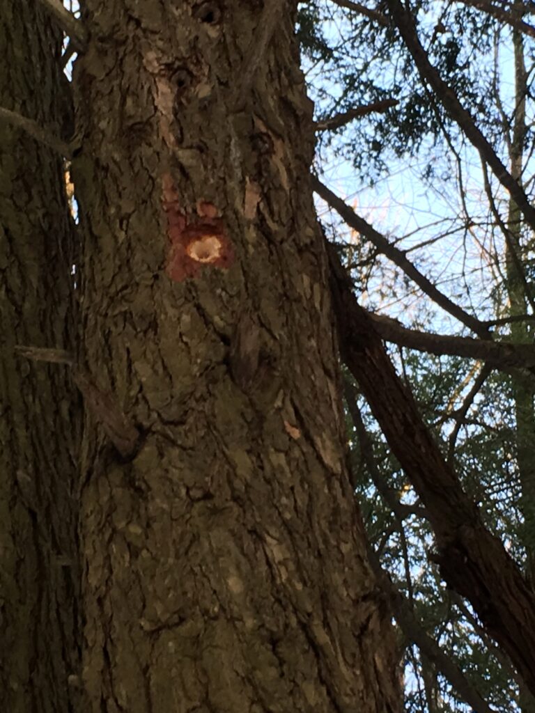
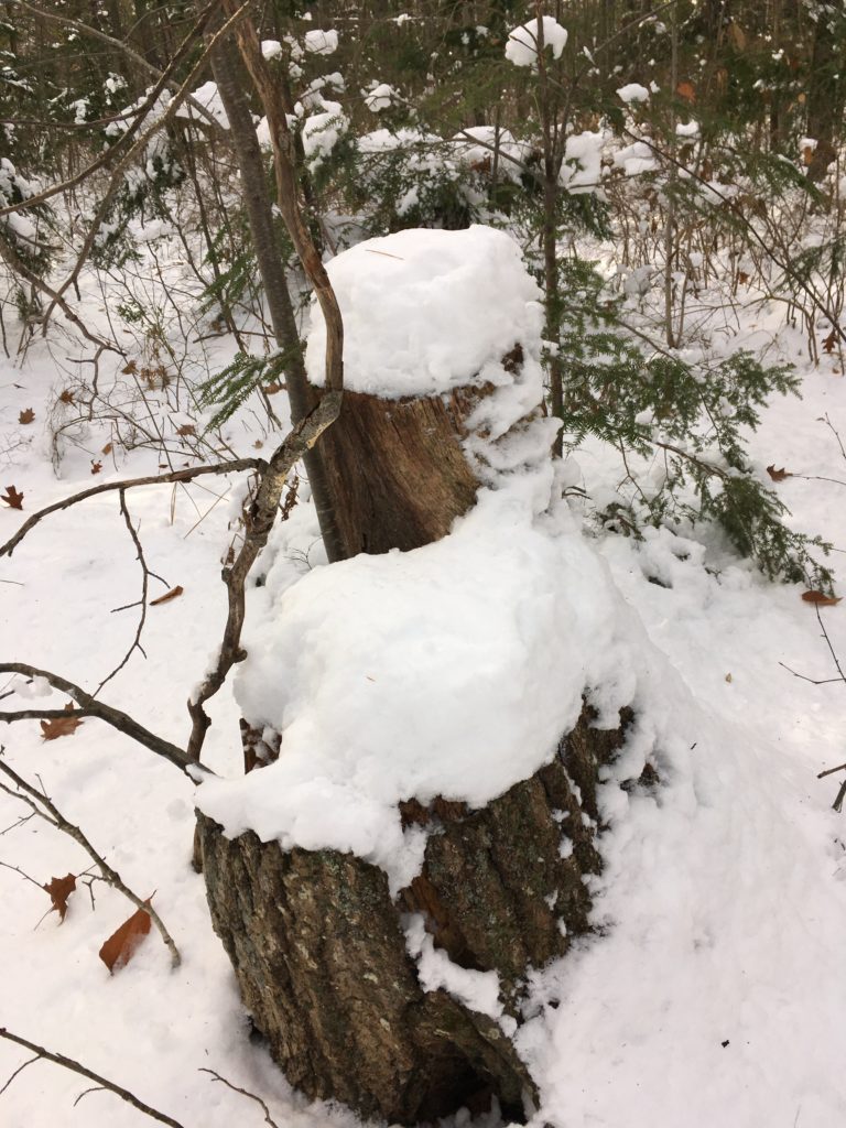
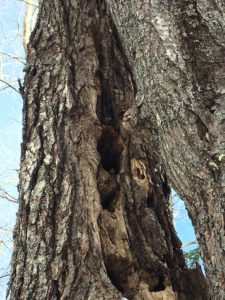
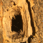
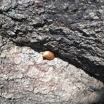
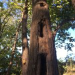
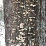
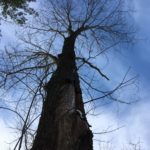
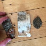
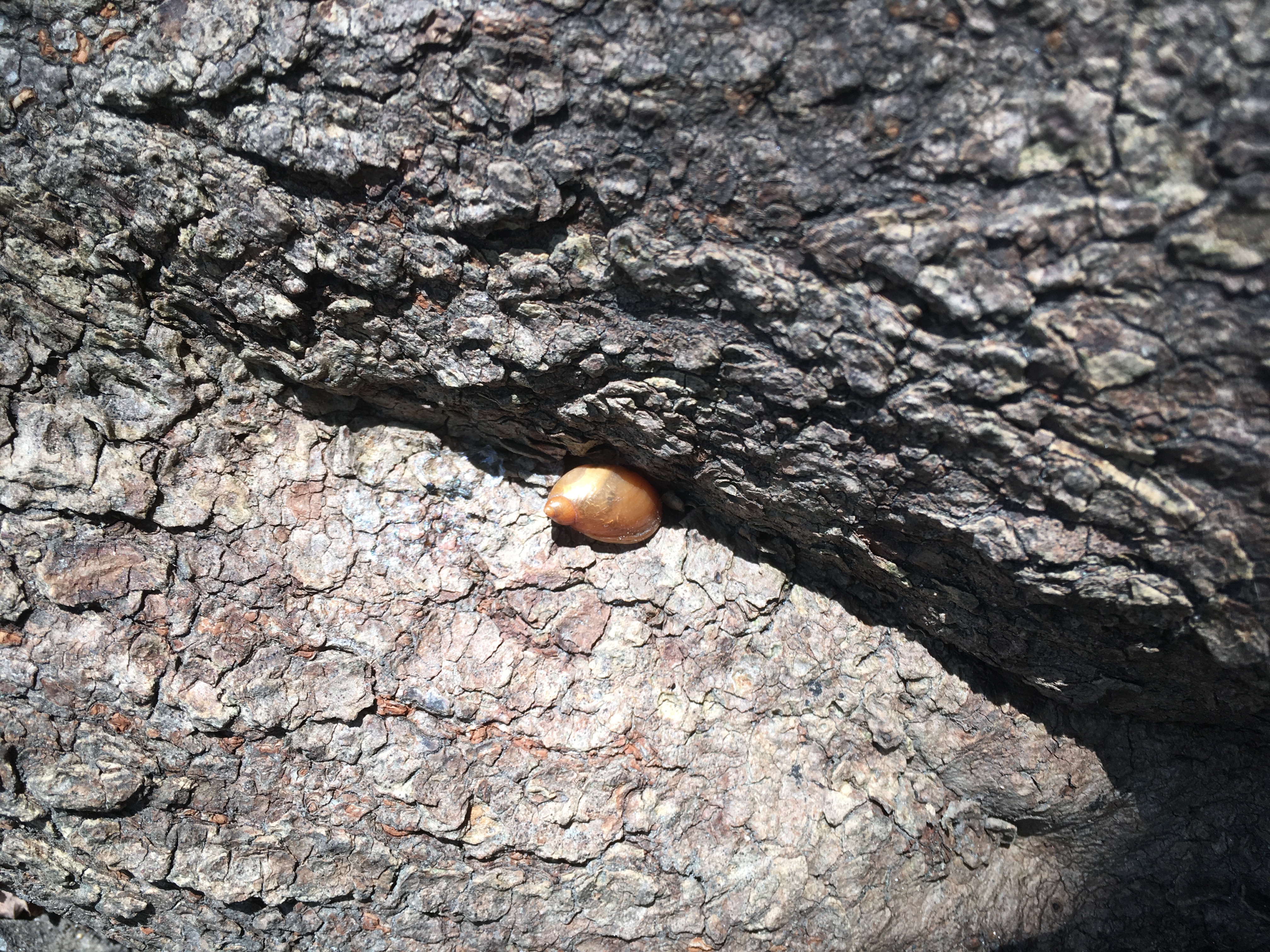
The birds most likely use the large elm as habitat. I noticed one small snail in the relative shelter of the crevasse of a tree.In this same patch of saplings, I noticed many spider webs and spiders themselves. Lastly, I saw prime evidence of a pileated wood pecked. Although it is possible that my site was used by pileated wood peckers as habitat in previous seasons, the evidence is still clear. I counted at least 15 oblong holes in just the three trunks on one tree. There were about 8 other holes in a total of 2 other trees. 
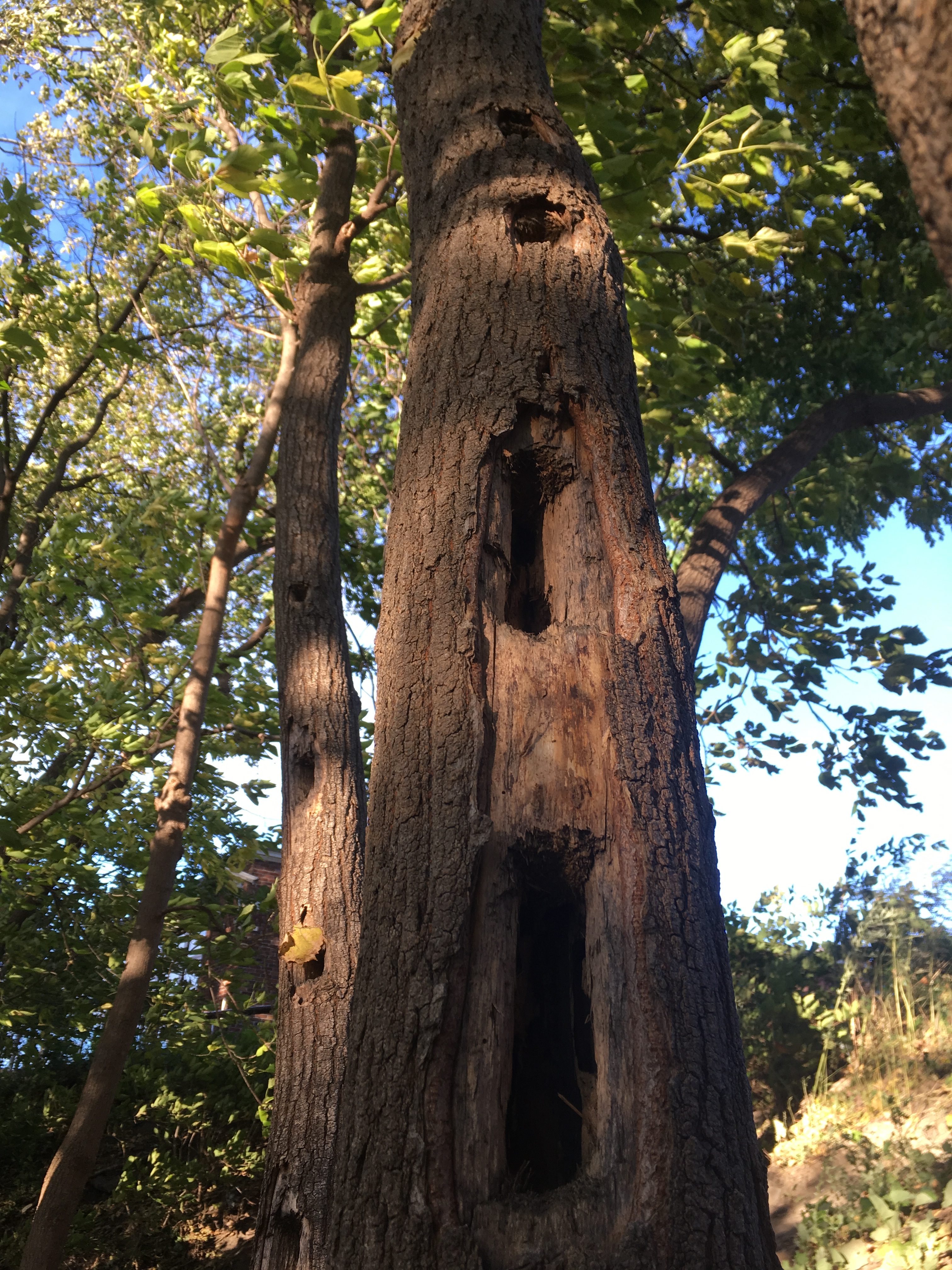
These holes were left from where the woodpeckers used their strong beaks to bore holes into the tree where they proceeded to use their sticky tongue to slurp up the grubs and insects inside of the tree.

This visit to my site, I did a much more extensive tree count and approximated there to be 28 large or medium trees in the vicinity of my site (> 5in circumference). I also noted there to be 26 small trees (< 5in circumference, but taller than head height).There were a plethora of small saplings. There are also 5 standing snags in my site. I estimated the sky cover to be 75%. 

Below is a birds eye view of my phenology site so you can better imagine the lay out:

Older Posts »

Skip to toolbar