The undergrowth has been stripped bare. Winter is practically here. (McHale, 2016)
This week I delved (or at least attempted to delve) into the human history of my site. After visiting the Special Collections section of Bailey Howe for nearly three hours, I’d be lying if I said I found anything very significant. I did however, find out some interesting information about my site.
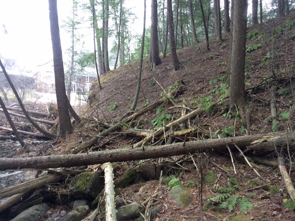
Firstly, someone named J. Lang owned a sizable chunk of land with my site on it off of Spear Street in 1869. Judging by the forest composition, my site was never developed; at least not to a great extent. The fact that my site is practically a gully suggests that it was at least never turned into farmland. Some limited logging perhaps occurred at my site, though it doesn’t appear it was clear cut. Minus the drainage stones and the pedestrian path, and power lines surrounding it, my site has been largely untouched by humans.
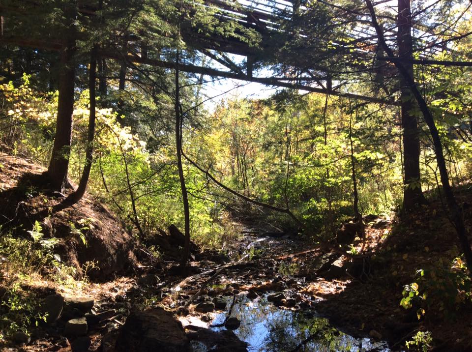
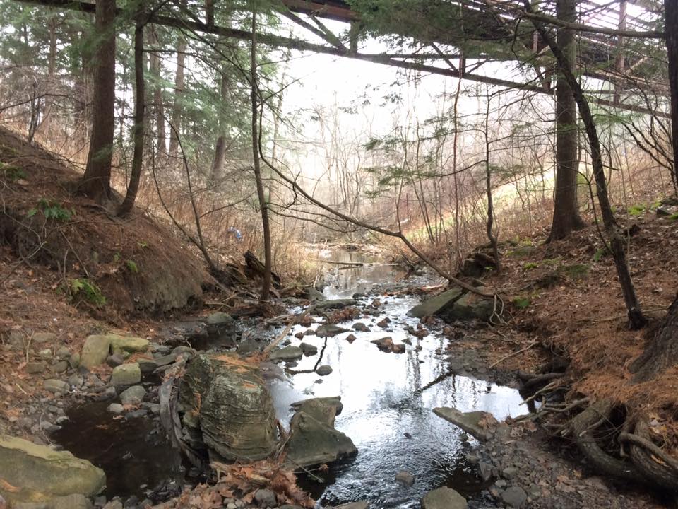
One more comparison between the site over the past few weeks. A southward facing photo from the first week. (McHale, 2016)
The same shot, three weeks later. (McHale, 2016)
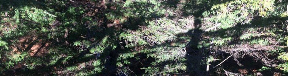
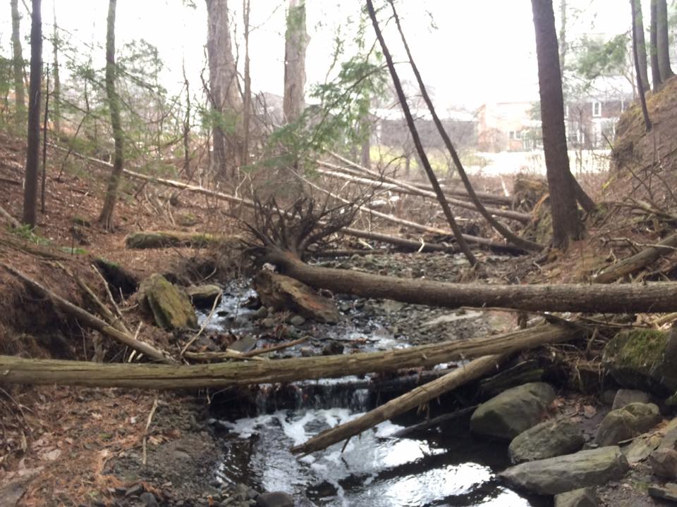
And finally, this week, with all the vegetation stripped of its leaves. (McHale, 2016)
J. Lang does not appear in the South Burlington section of the Child’s Chittenden County Directory of 1882-1883, suggesting that he no longer lived on or owned the land at that point. Perhaps J. Lang had moved out west like many Vermont settlers. Subsequent searches yielded nothing about J. Lang to shed light on the reasons why he didn’t appear in the directory. In 1967, the site was considered to make the site an “outdoor education classroom” in cooperation with nearby Rice Memorial High School. Damming part of the stream and forming a small pond for ice skating was also proposed. These plans never came to fruition, probably because of the nearby Interstate 189 and power lines, and the suburbs blocking the school from the site.
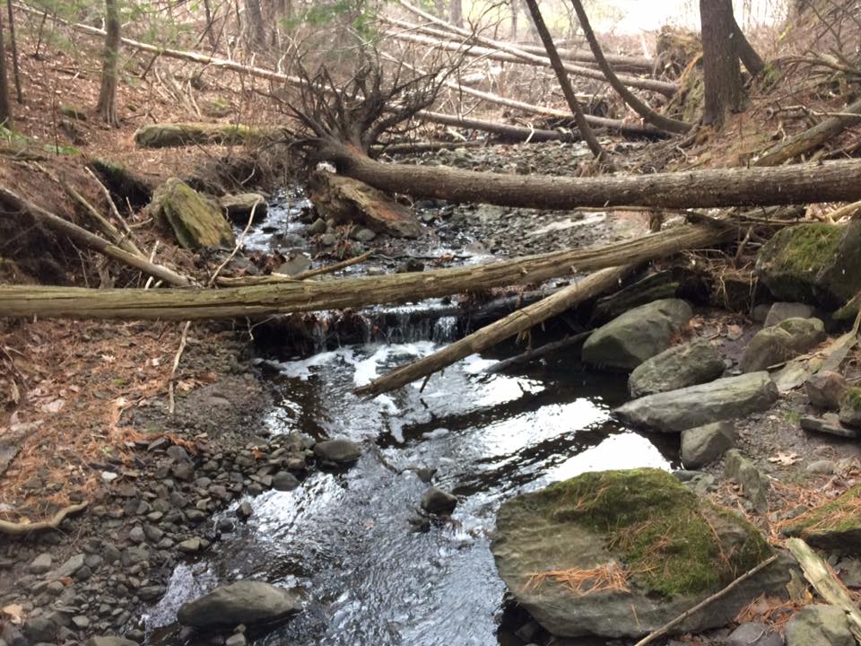
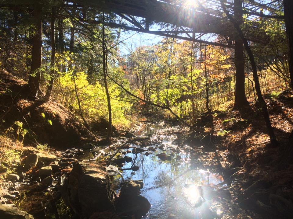
Even more stream flow is most likely due to recent snow melt. (McHale, 2016)
Winter view of the site looking northwards. (McHale, 2016)
Yeah, my site history is pretty boring in my opinion. But, I find it peaceful, so it’s okay. In other news, all the hemlocks on my site appear to be healthy, and show no signs of the invasive hemlock woolly adelgid. Also, I removed the Japanese Knotweed planting that was at site, so hopefully that invasive will STAY OUT. All in all, it’s been fun time examining my site.
(1967). Natural resource inventory: prepared for the Town of South Burlington. Report no. 1: Potential recreation and conservation sites. South Burlington: Chittenden County National Resource Technical Team.
(1883). Child’s Chittenden County Directory: 1882-1883. Burlington: Chittenden County.