Maps
The images below show the natural and social landscapes of the sumac clearing via multiple different types of maps.
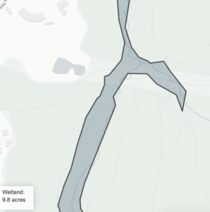
Wetlands: Centennial Brook
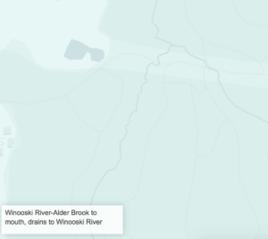
Watershed: Winooski
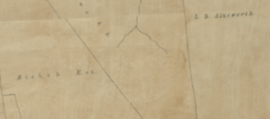
Map from 1890
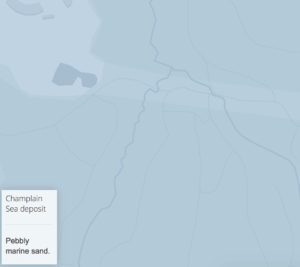
Surficial Geology
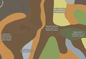
Soil Topography
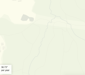
Precipation
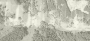
Satellite Image in 1937
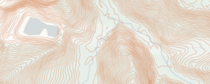
Elevation
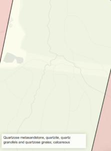
Bedrock: Quartzose
http://www.uvm.edu/place/burlingtongeographic/maps/interactive/index.html