Category: All of the Posts!


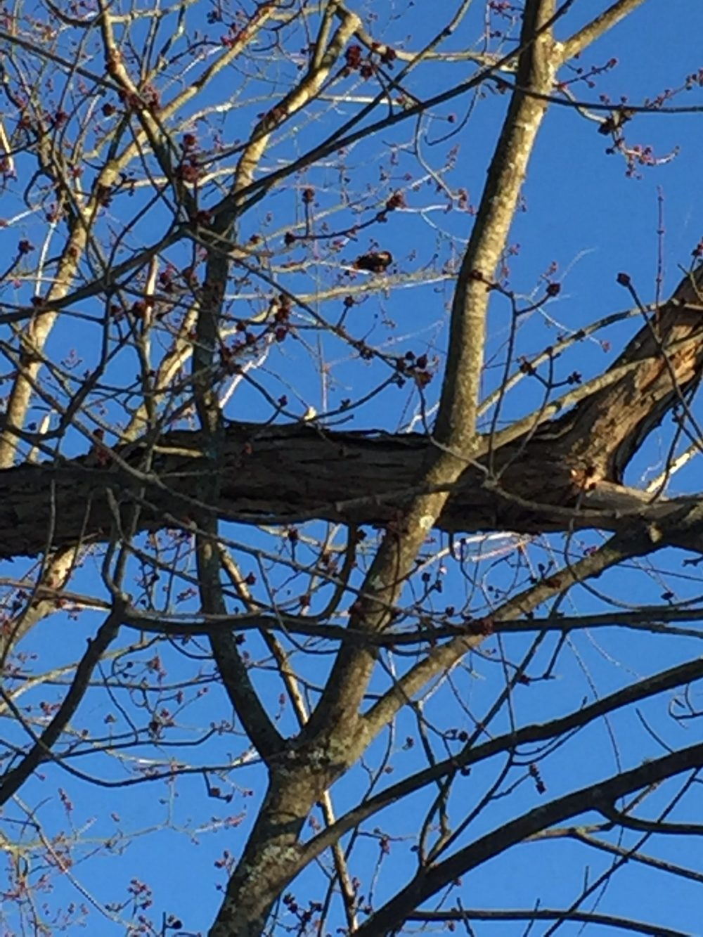
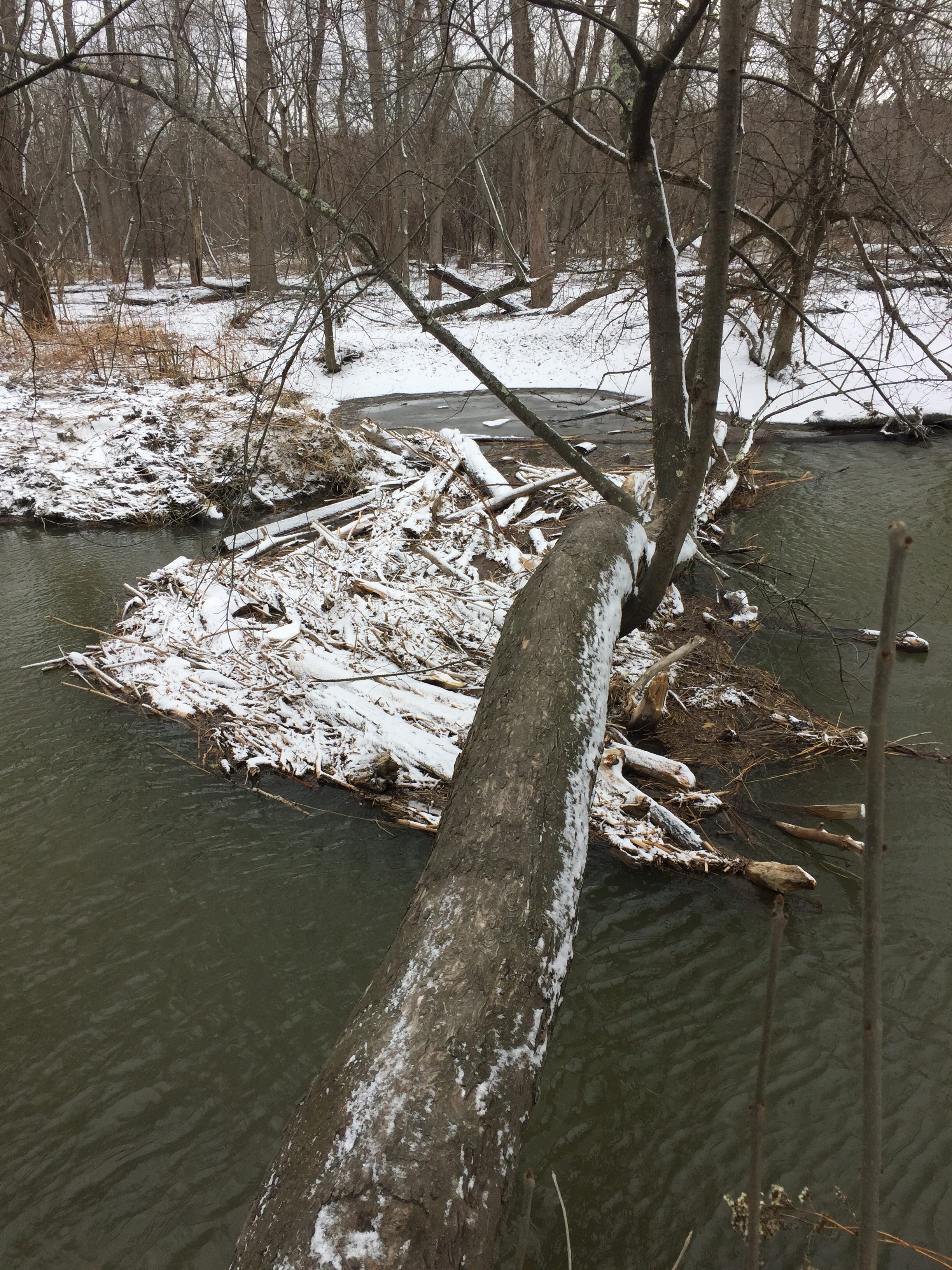
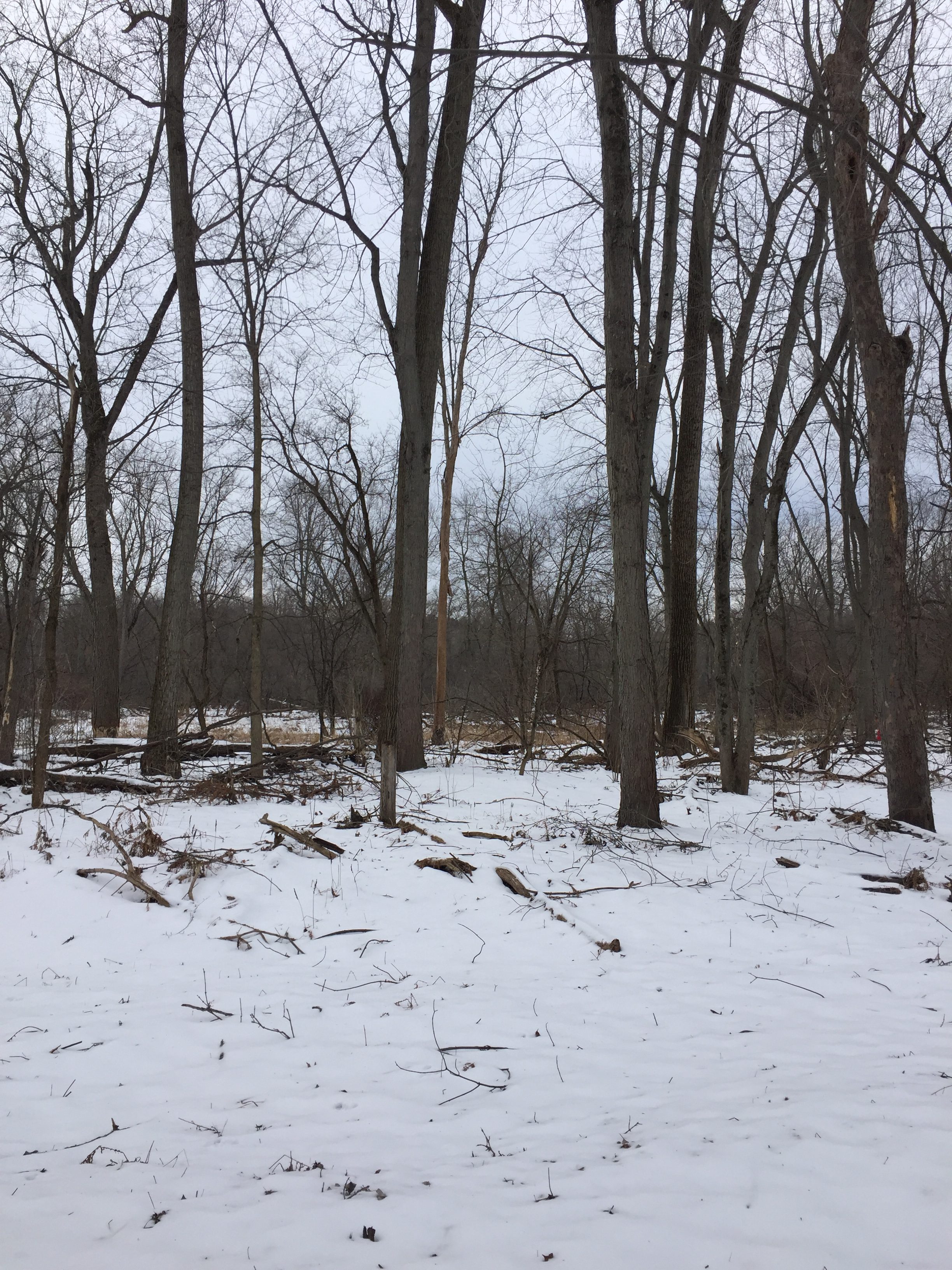
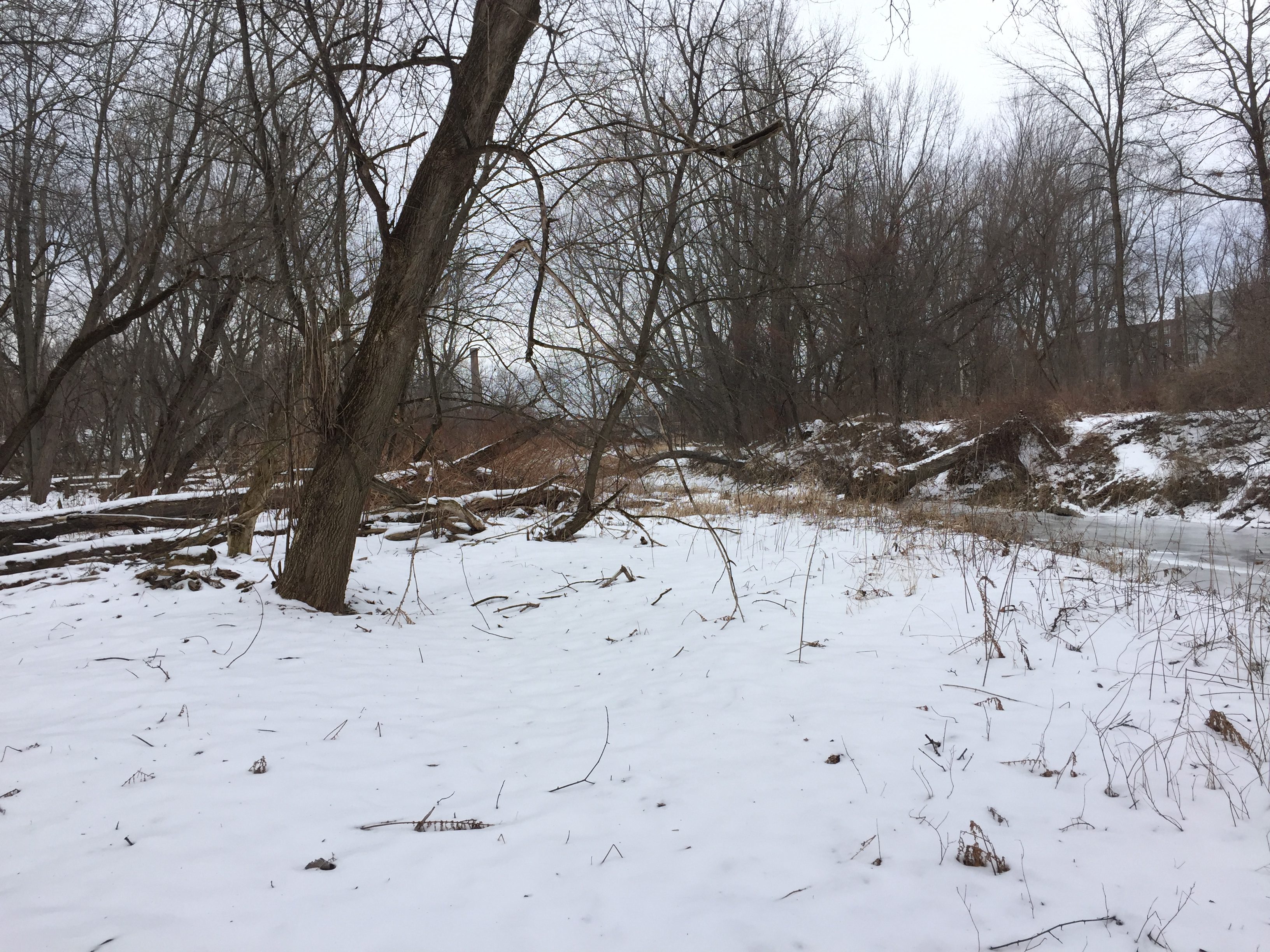
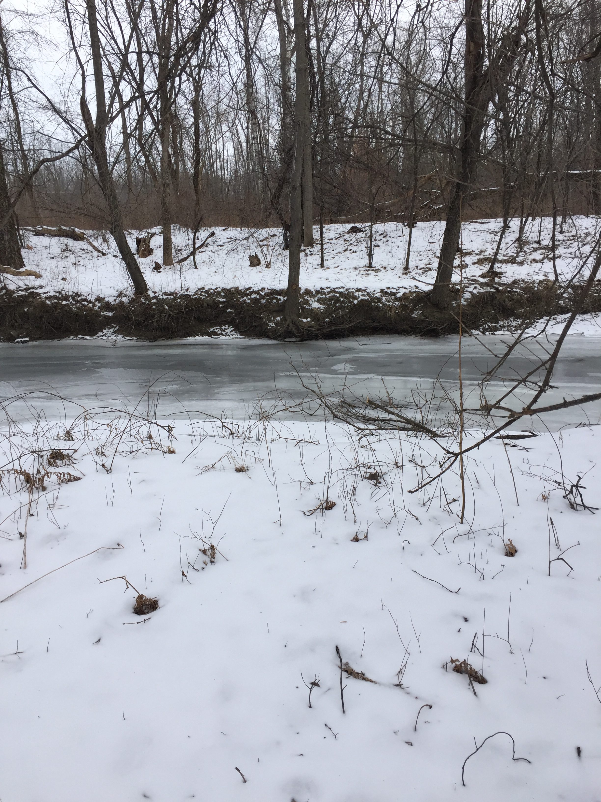
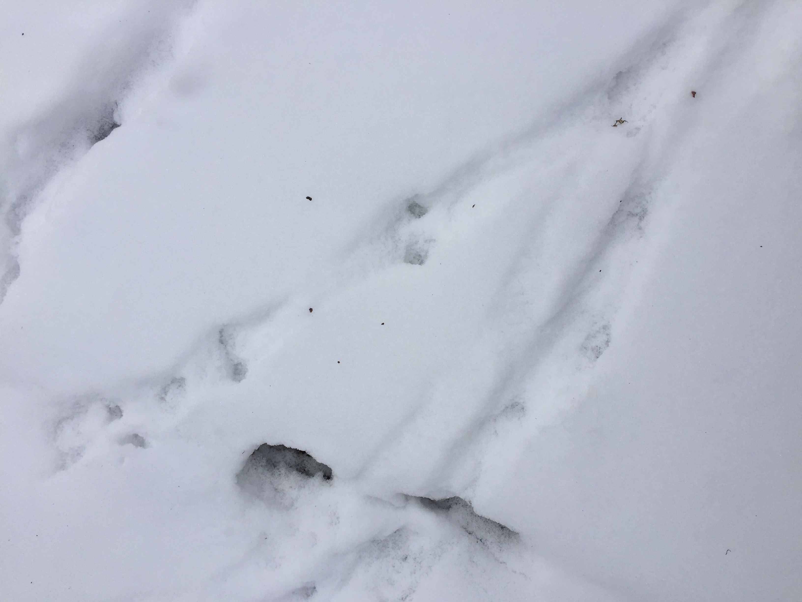
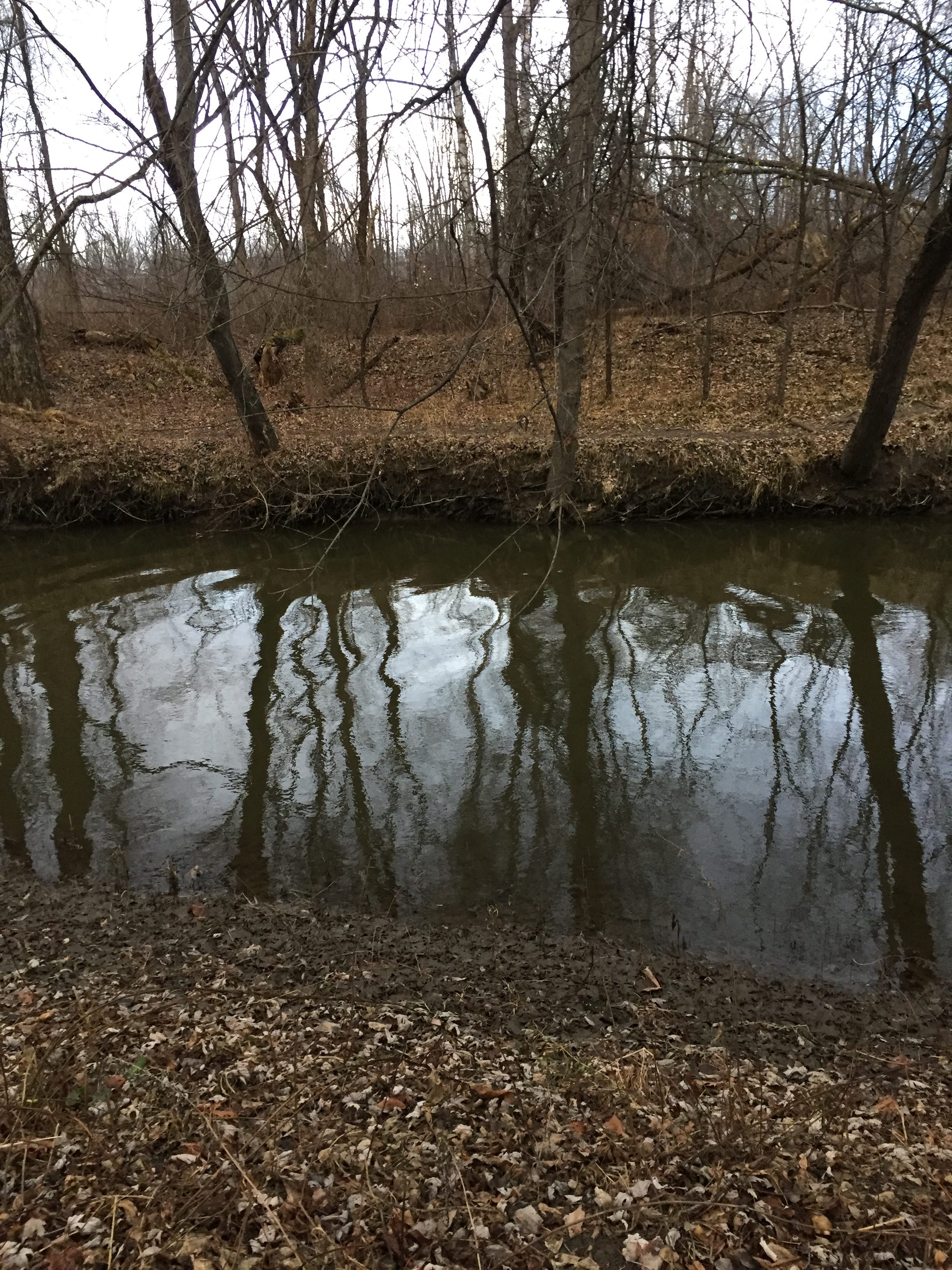
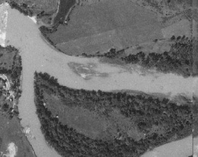
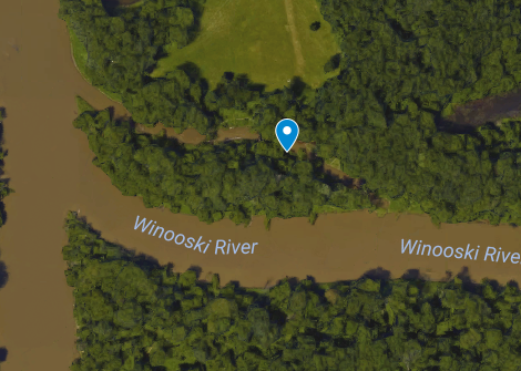
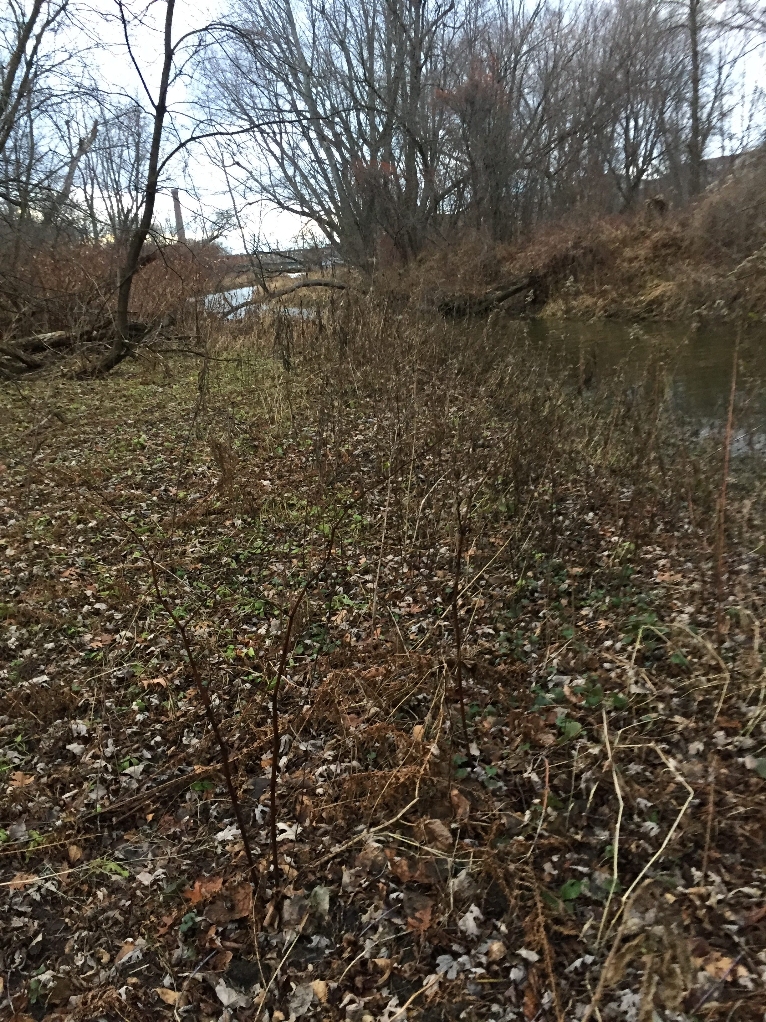
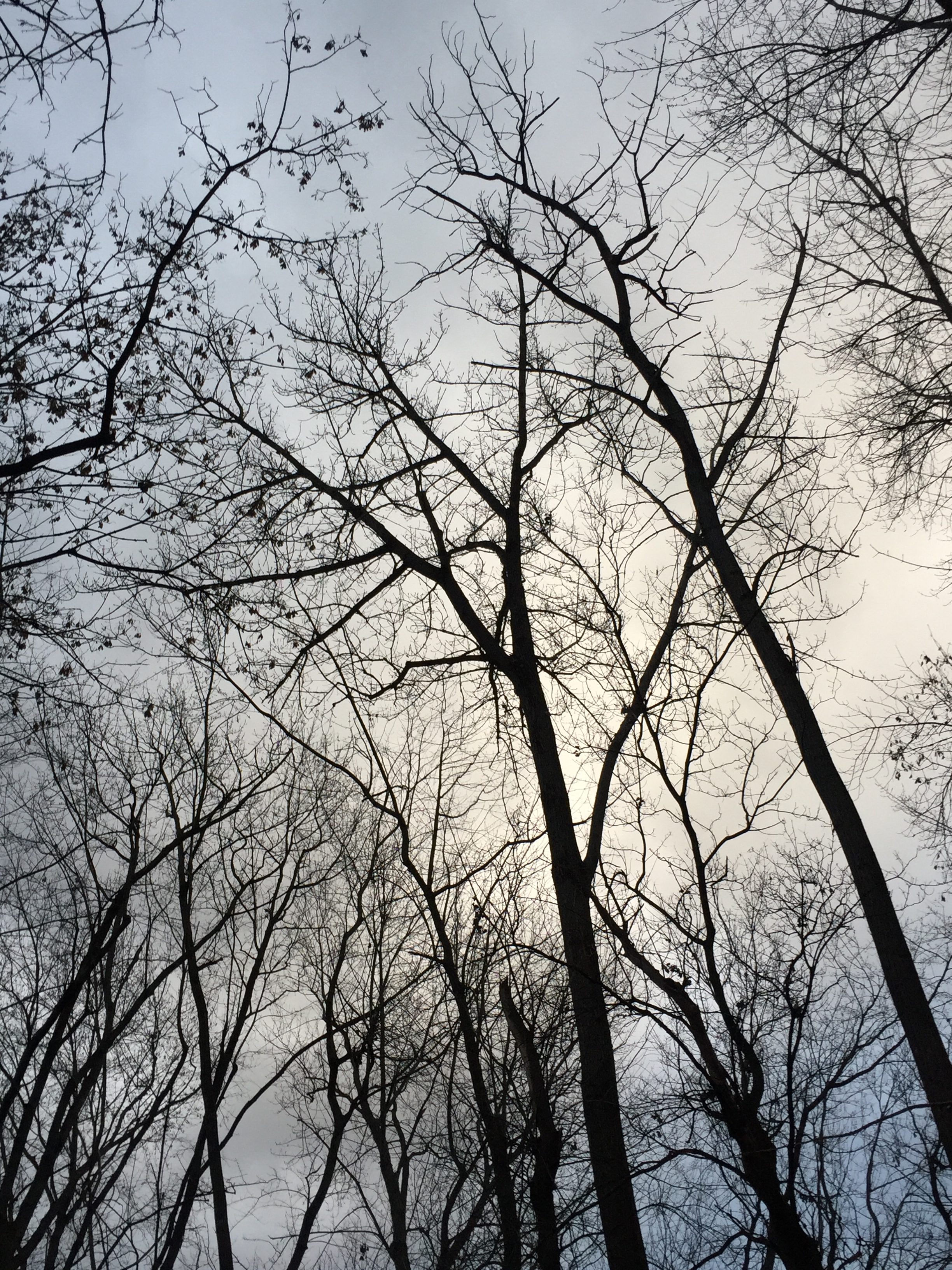
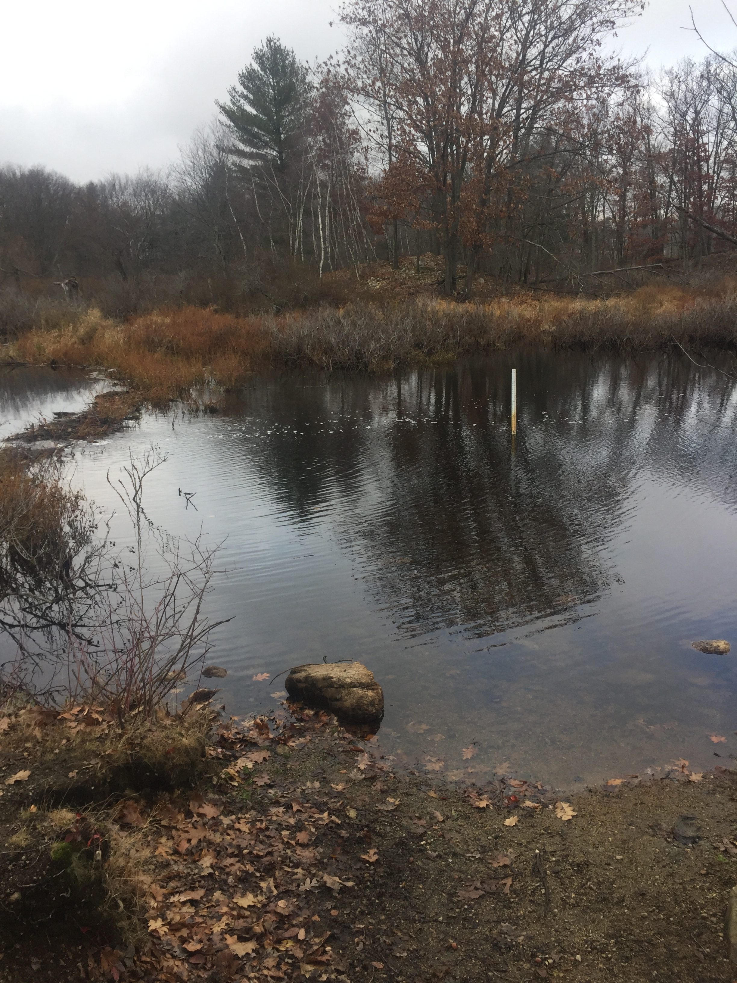
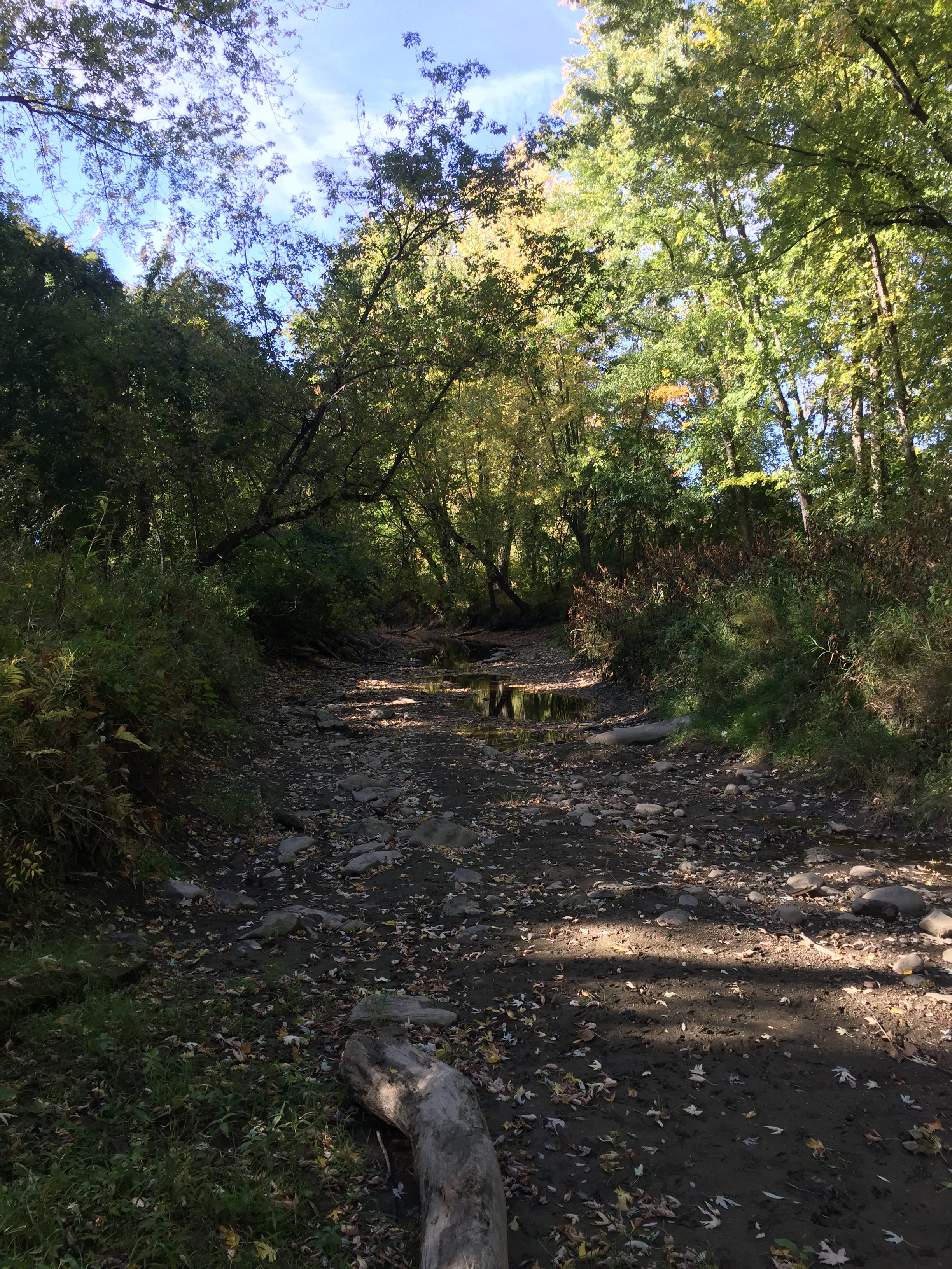
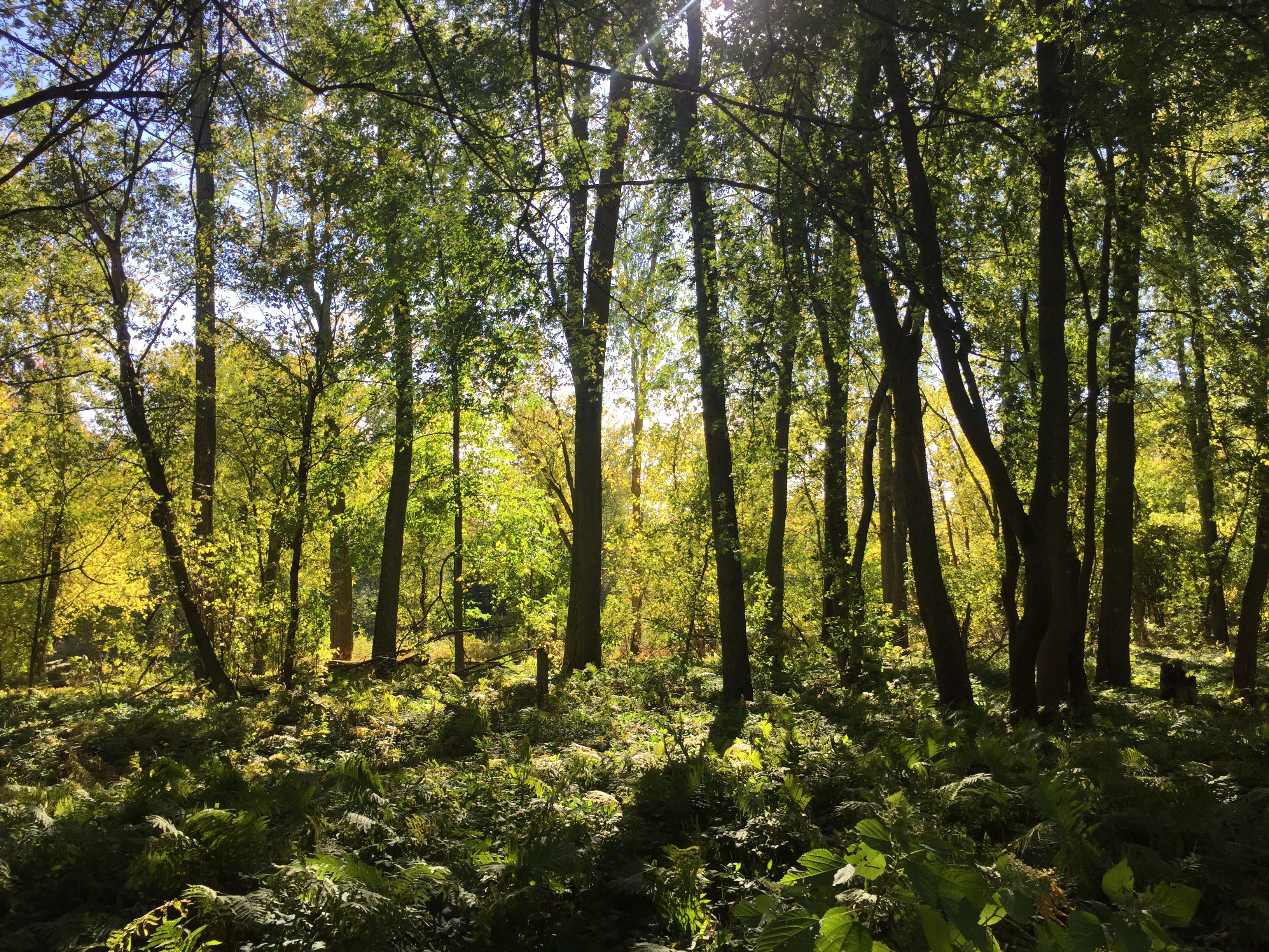
One last time to the spot. One last time walking over the bridge to get to Winooski. One last time walking down the front of the Winooski River. One last time getting to the smaller river, and realizing there is no way in hell I can cross this thing. The river is as large as I have ever seen, but everything is so beautiful. Everything has really started to come alive, the trees are growing leaves, and the vegetation is so lush. I am glad I have been coming here for the past year.

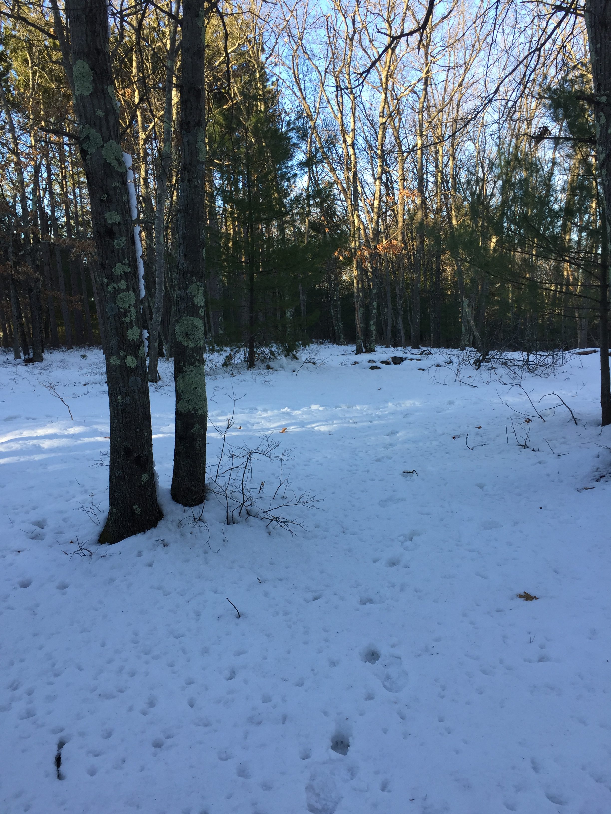
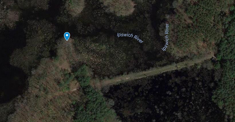
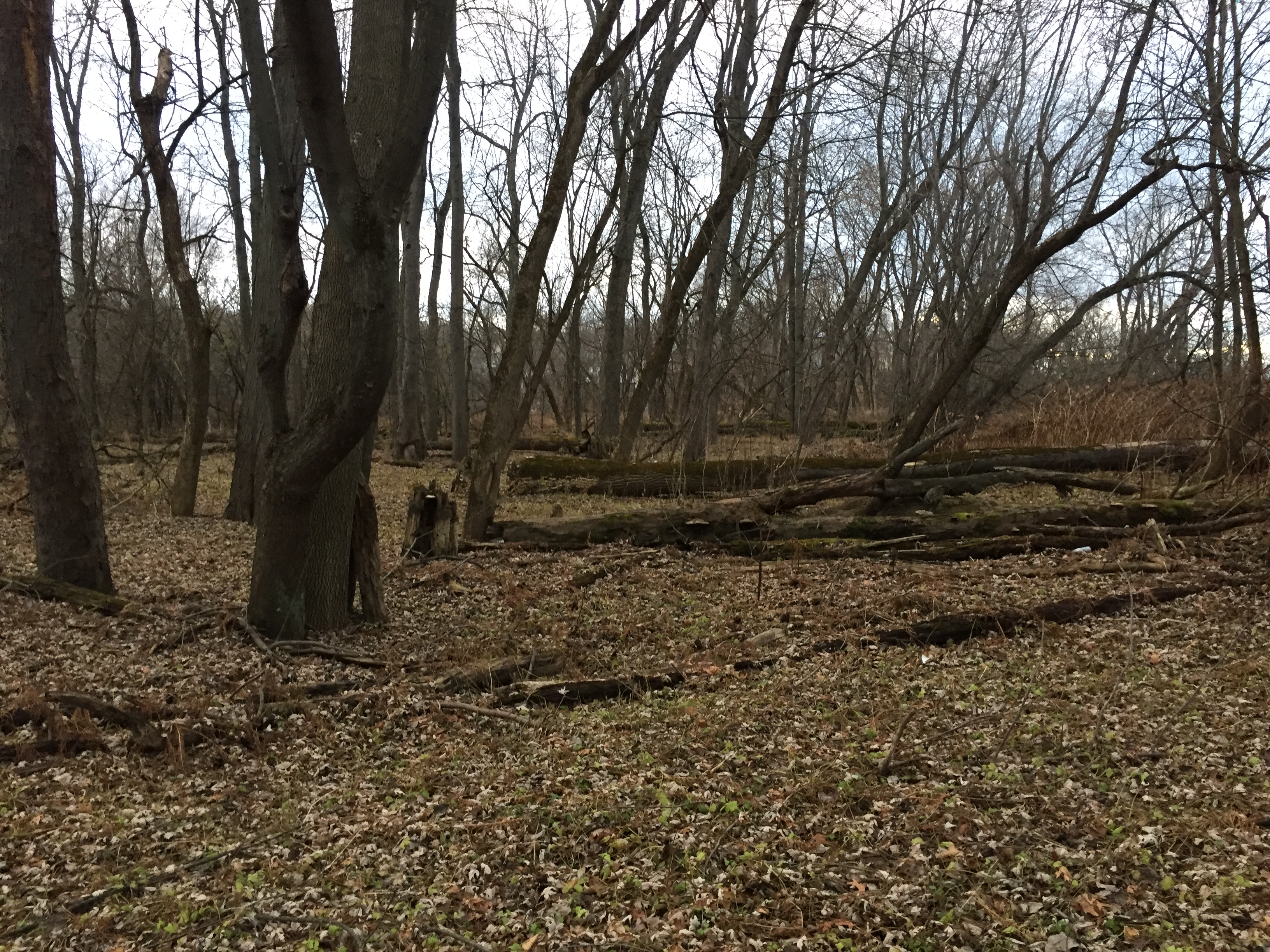
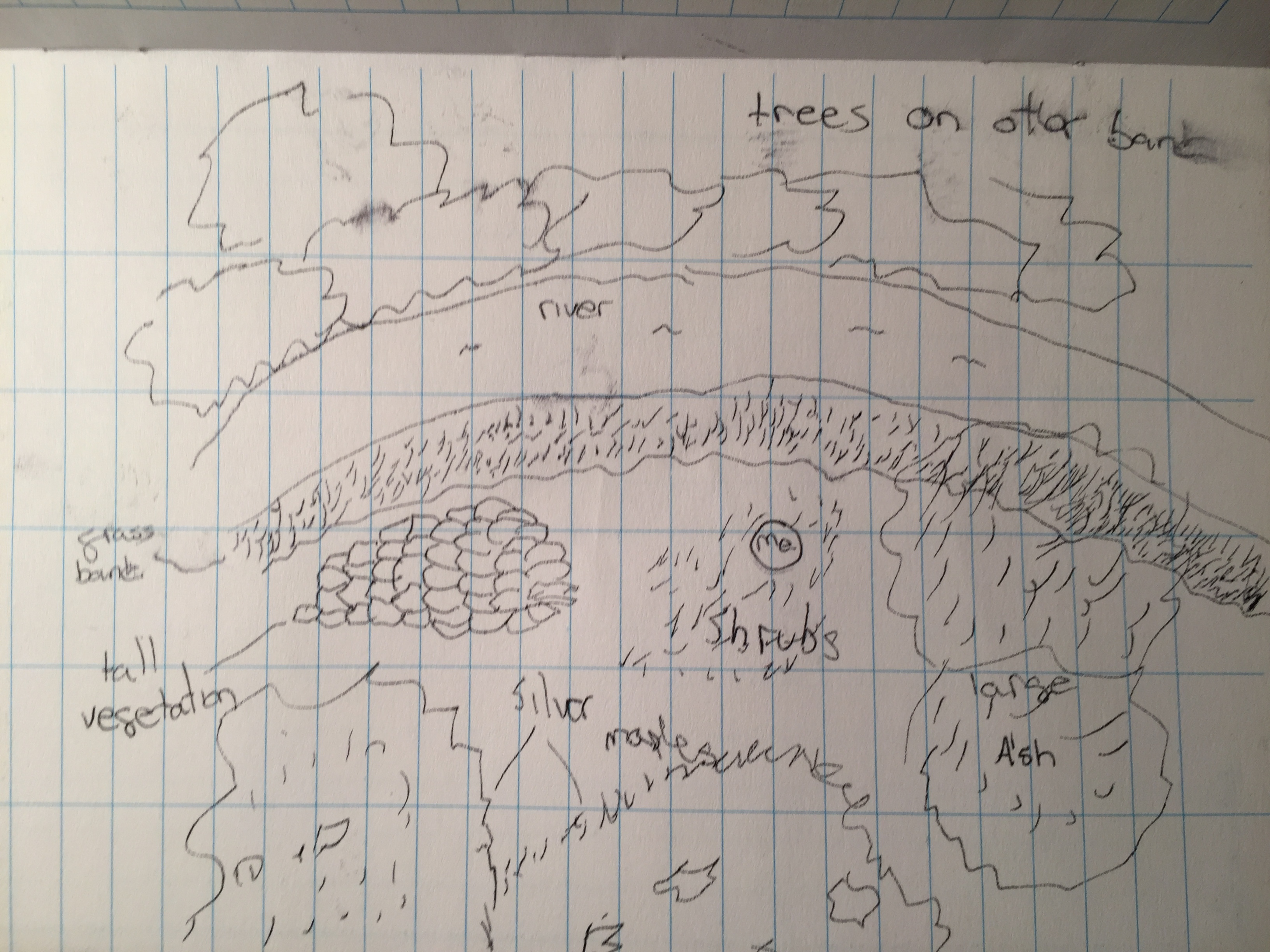
Over the course of this year, watching my spot change and evolve has been truly an amazing experience and truly fun to watch. I have been able to see all the ways that this spot fits into nature and culture at my spot. One large way is that our spot is right next to Cassavant Natural Area, which is a small reserved piece of land outside of Winooski. Our spot is separated by the Winooski River in the spring, and the natural world is completely apart from human culture in every way. However, during warmer and colder months when the water level is lower, people can cross and explore.

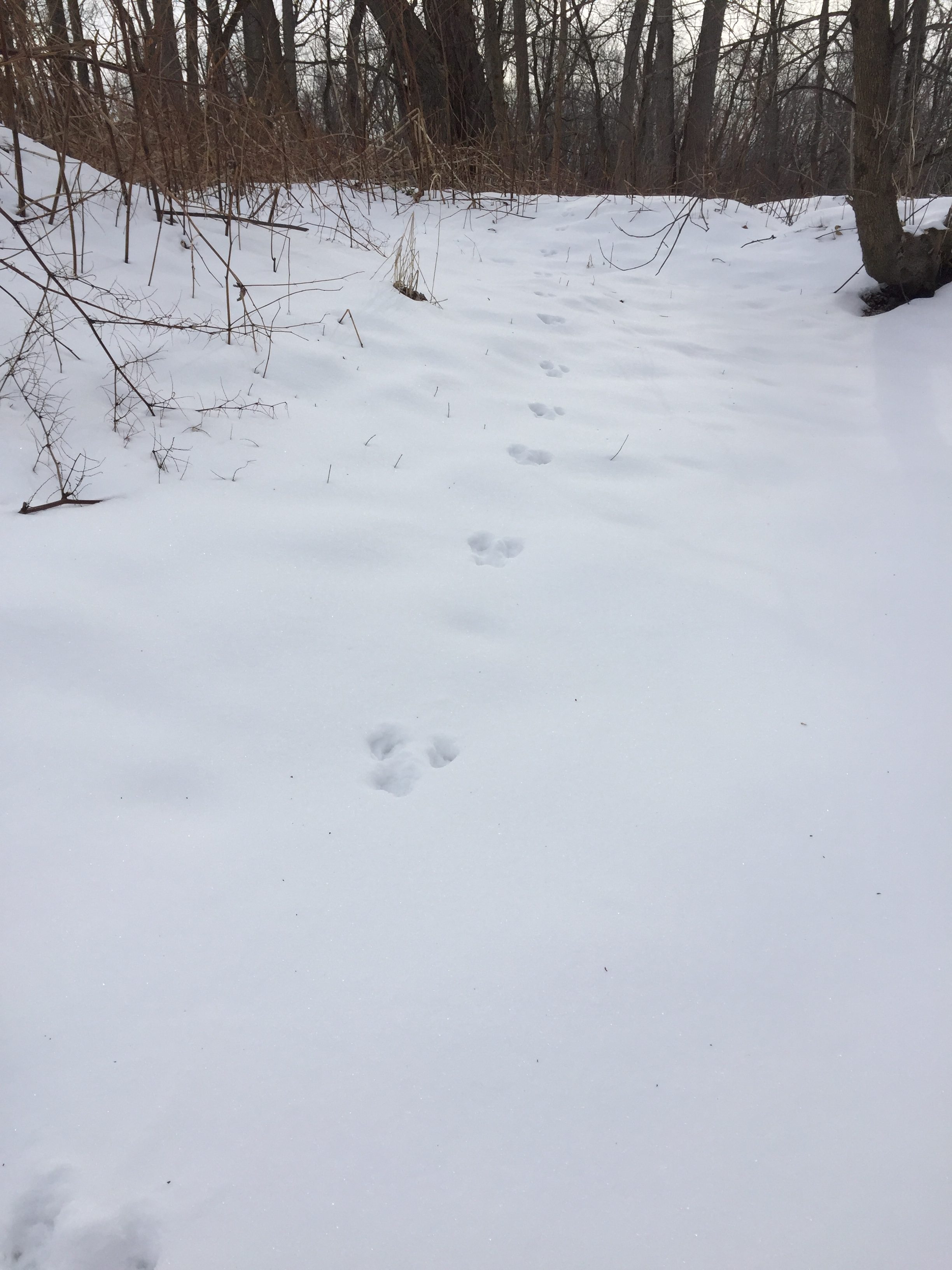
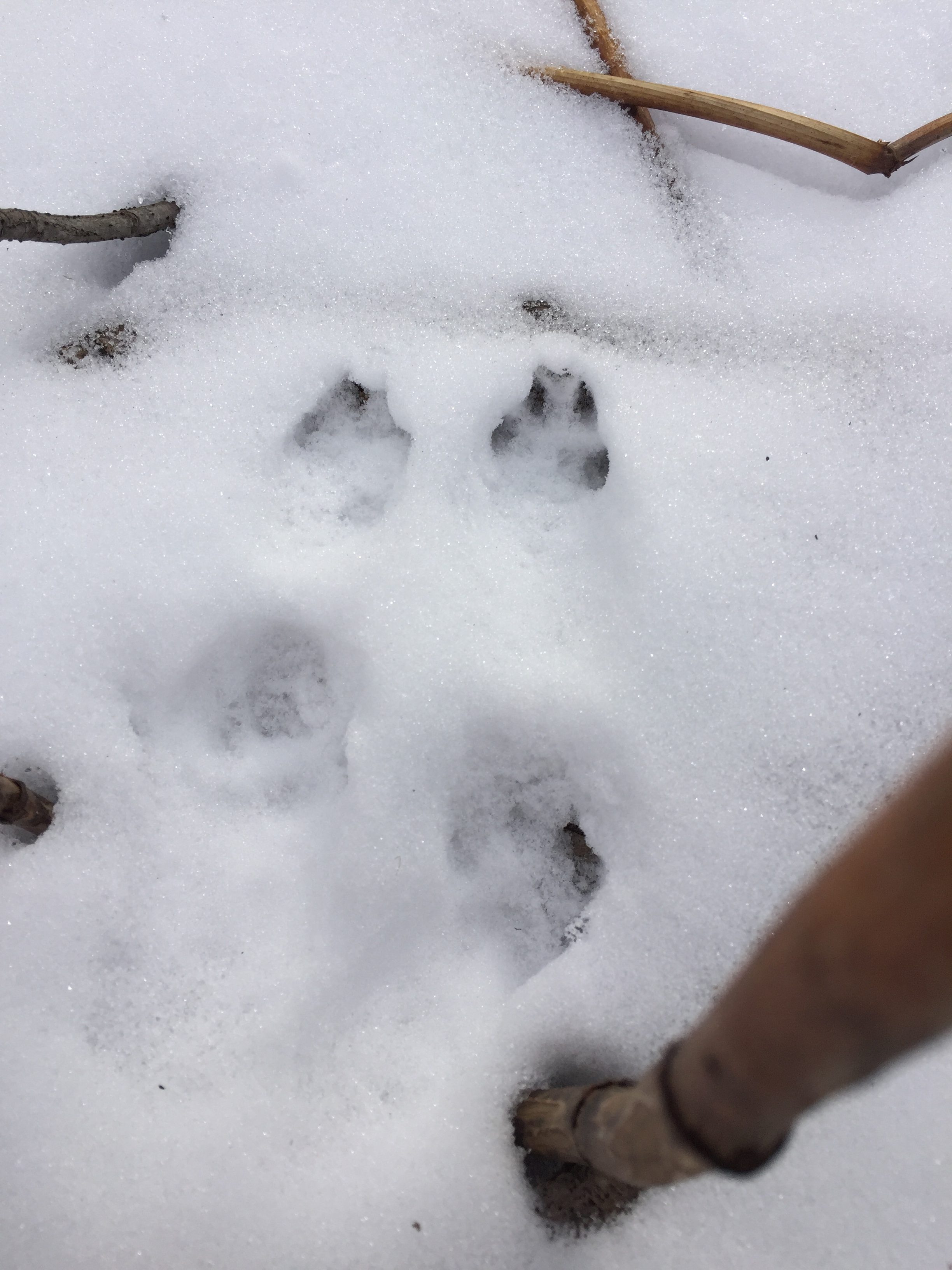
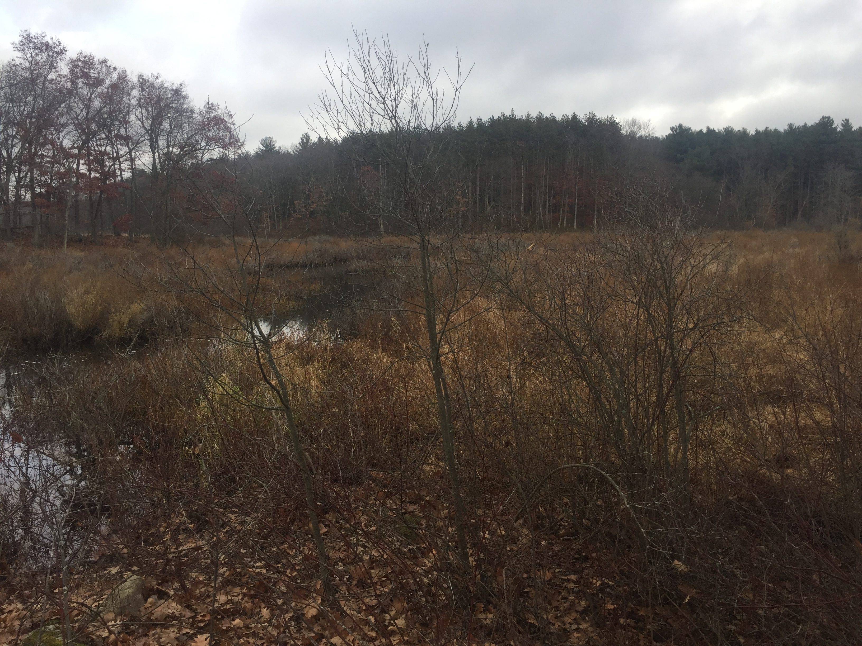
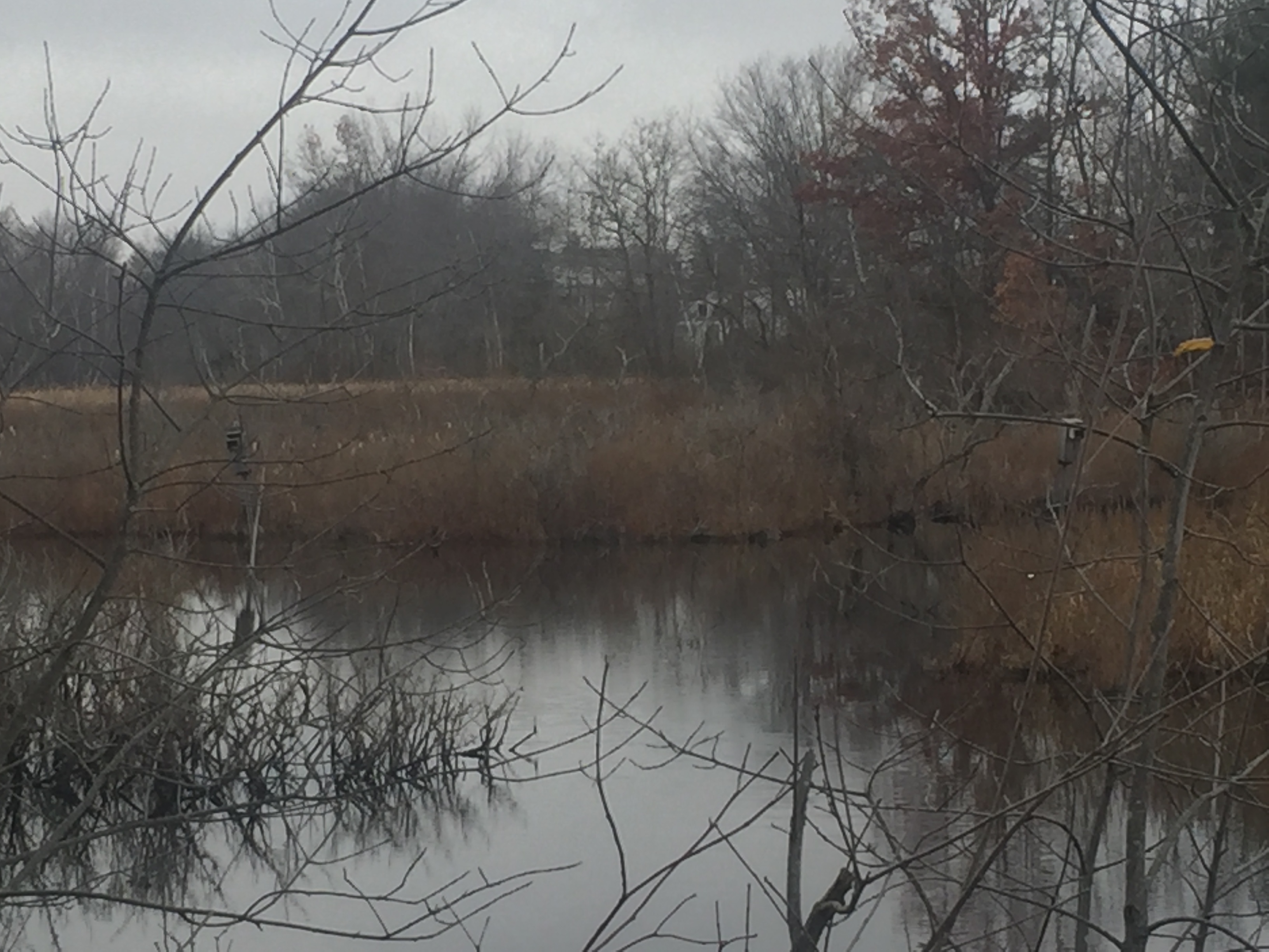
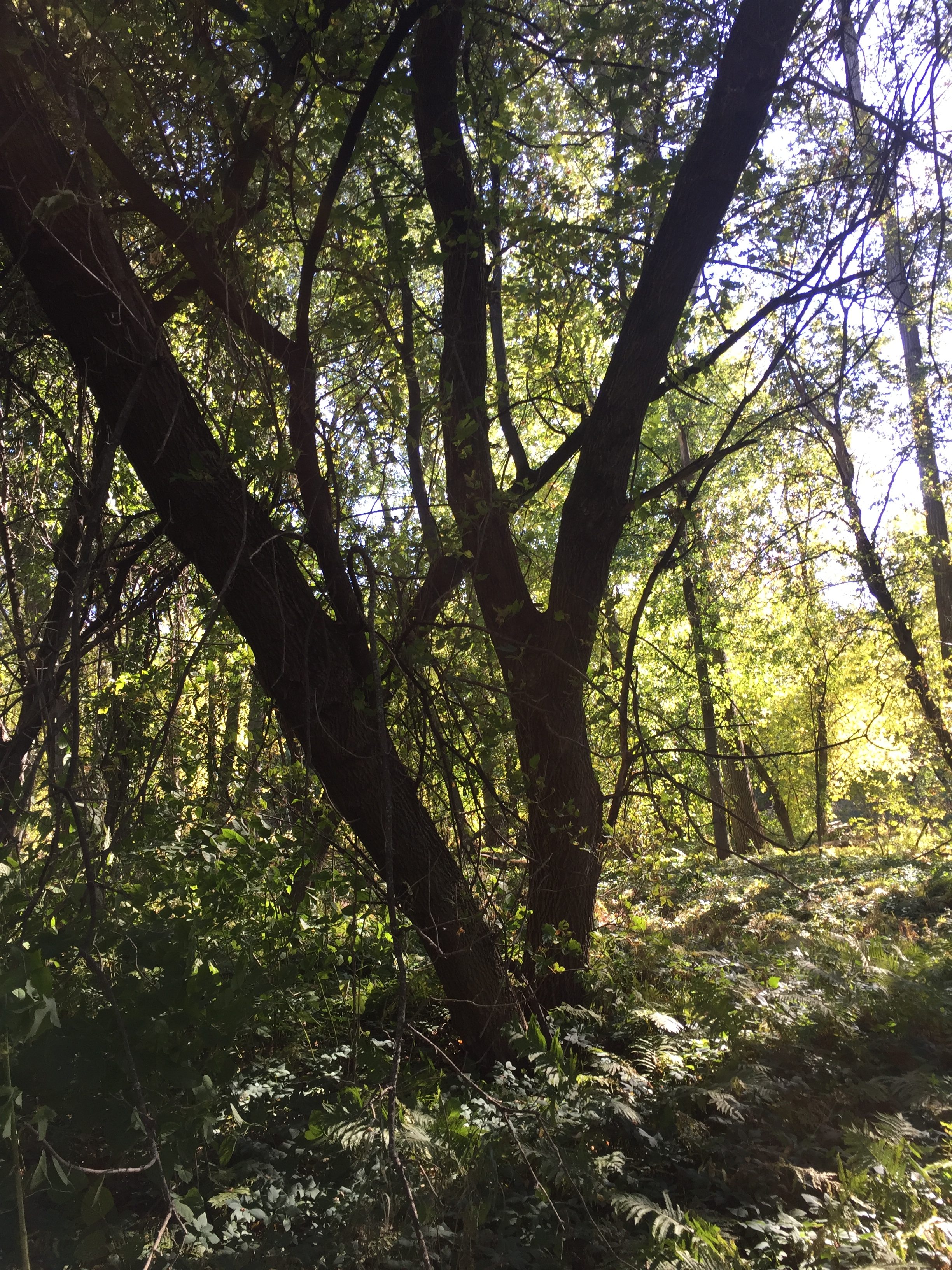
I aint fording that!

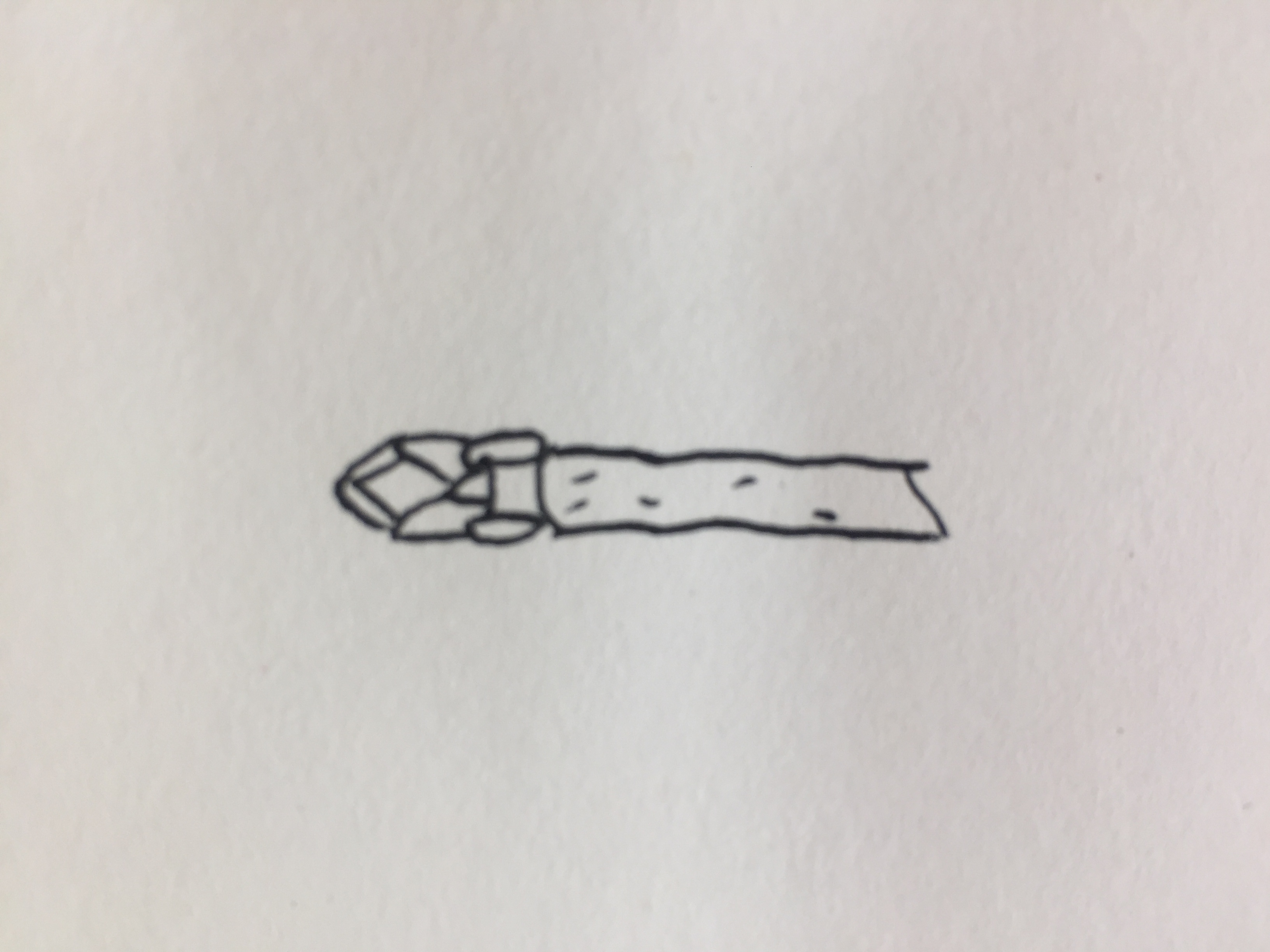
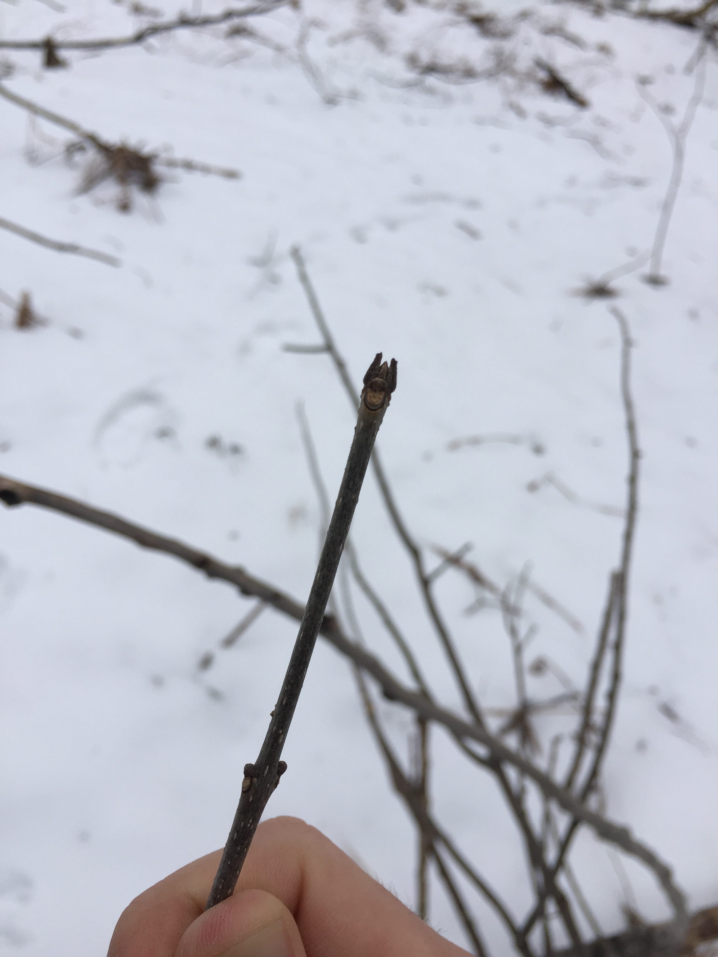
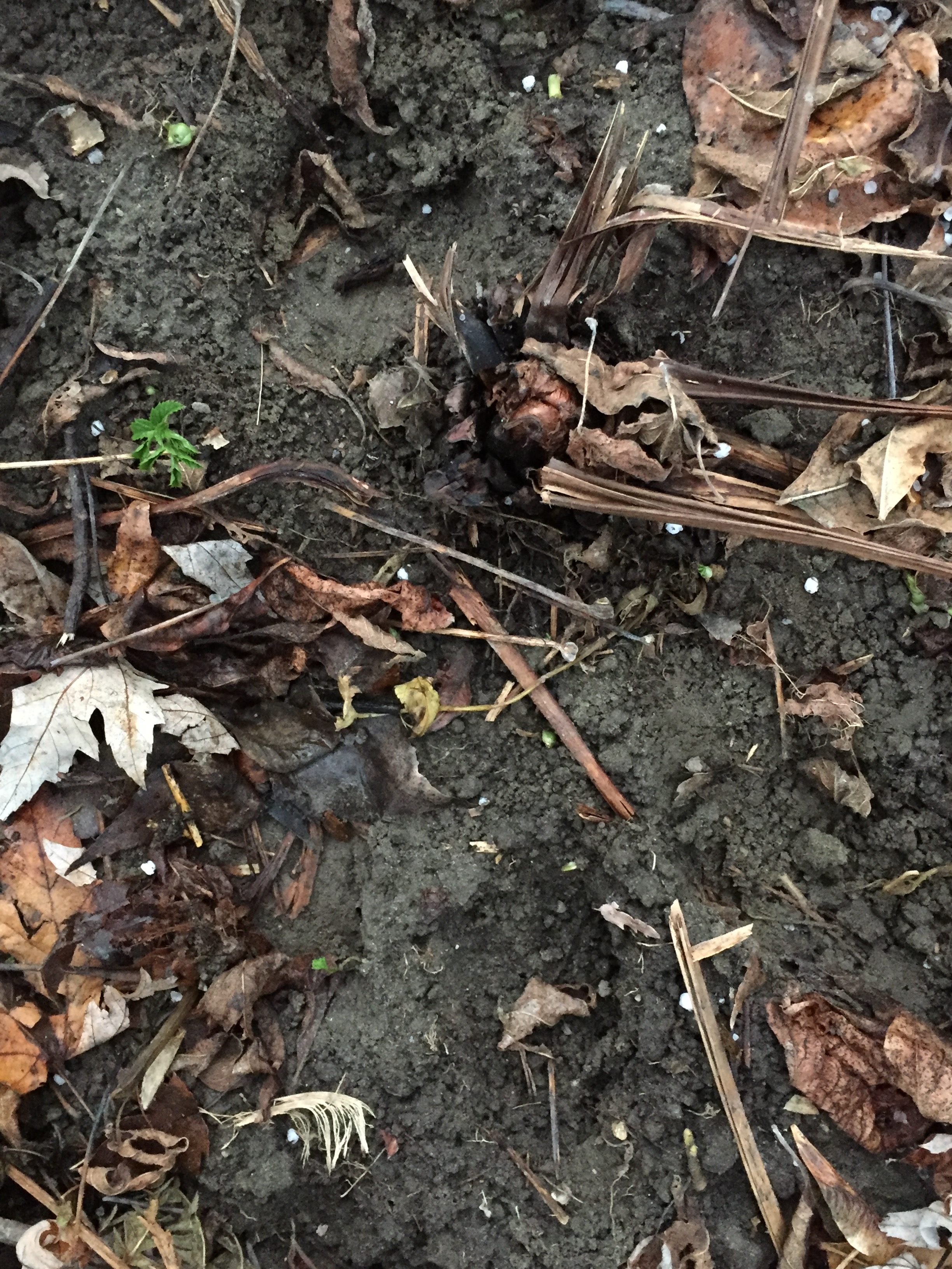
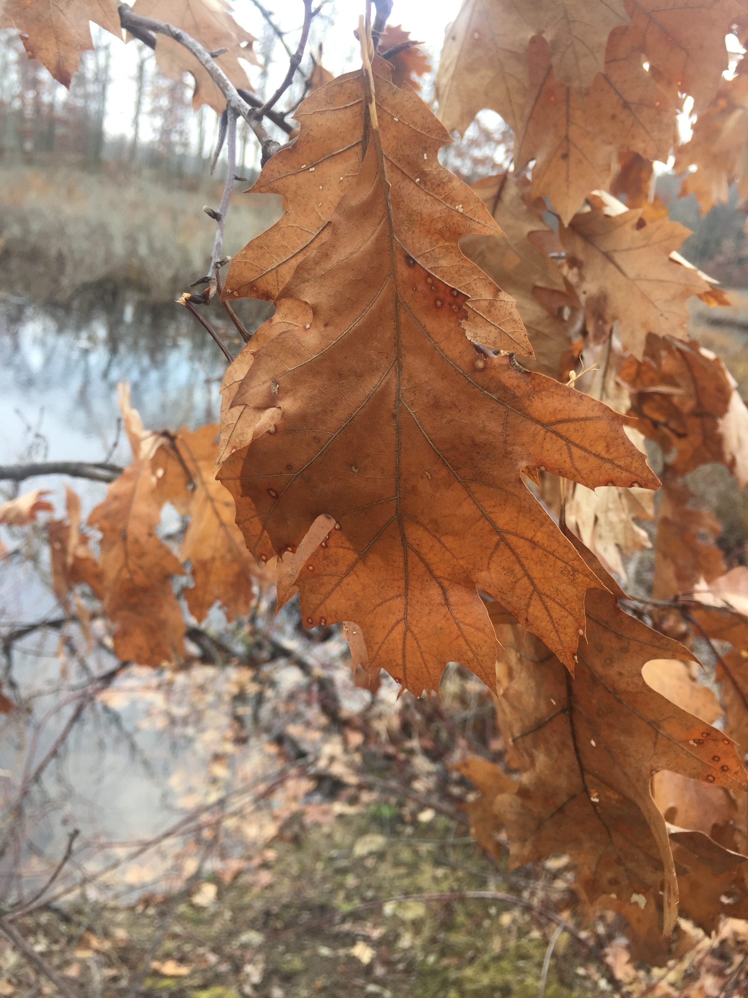
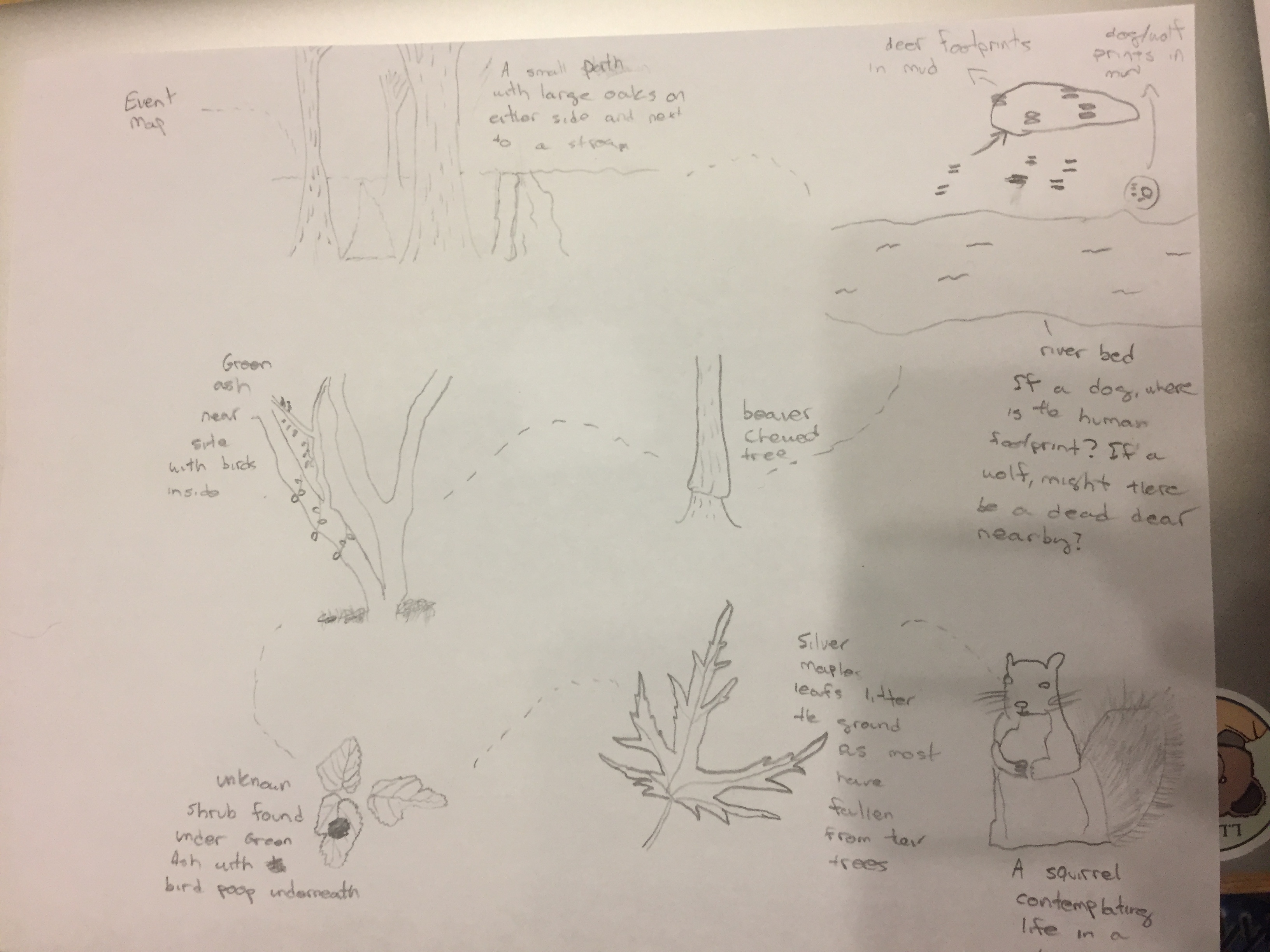
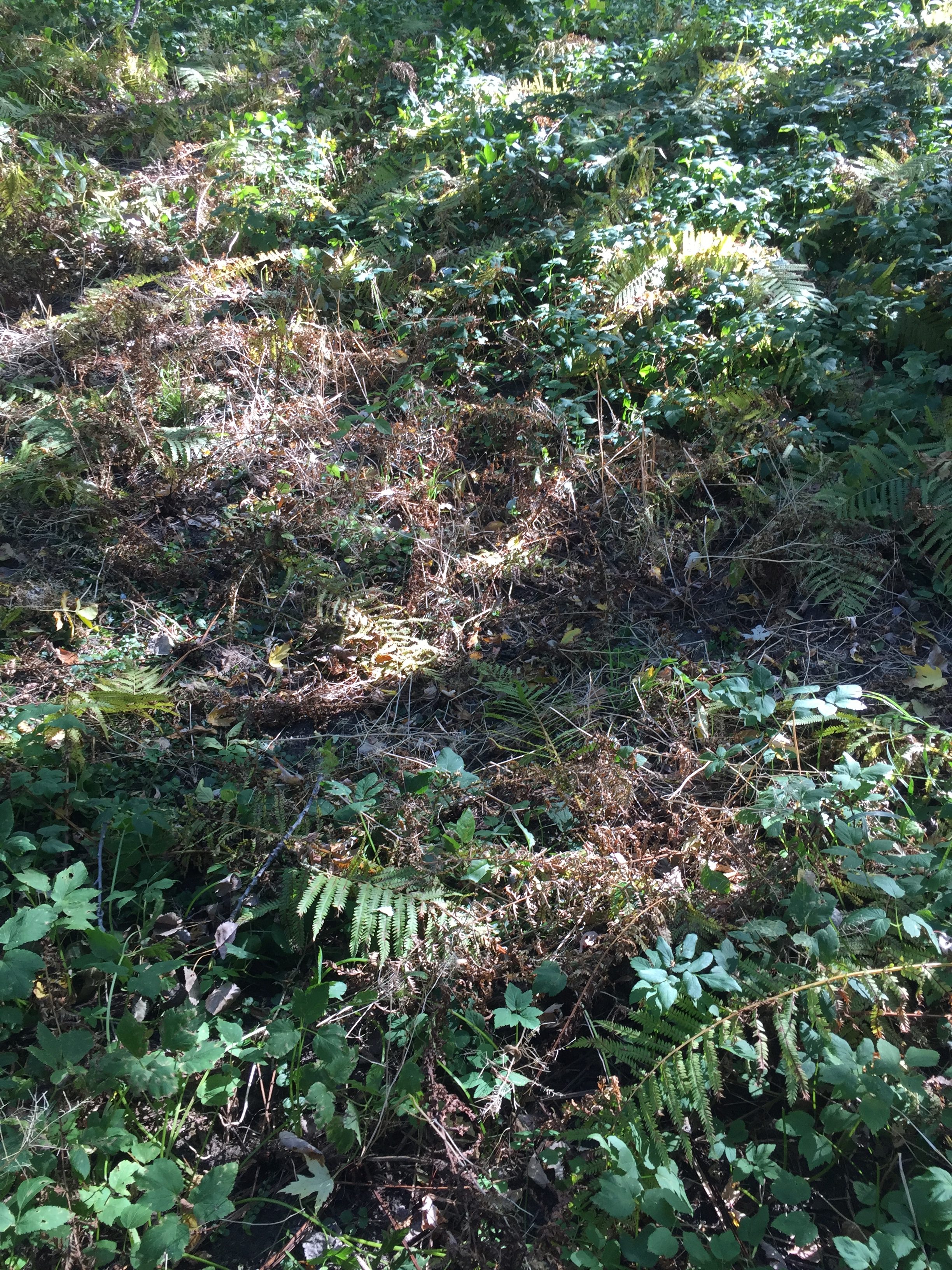
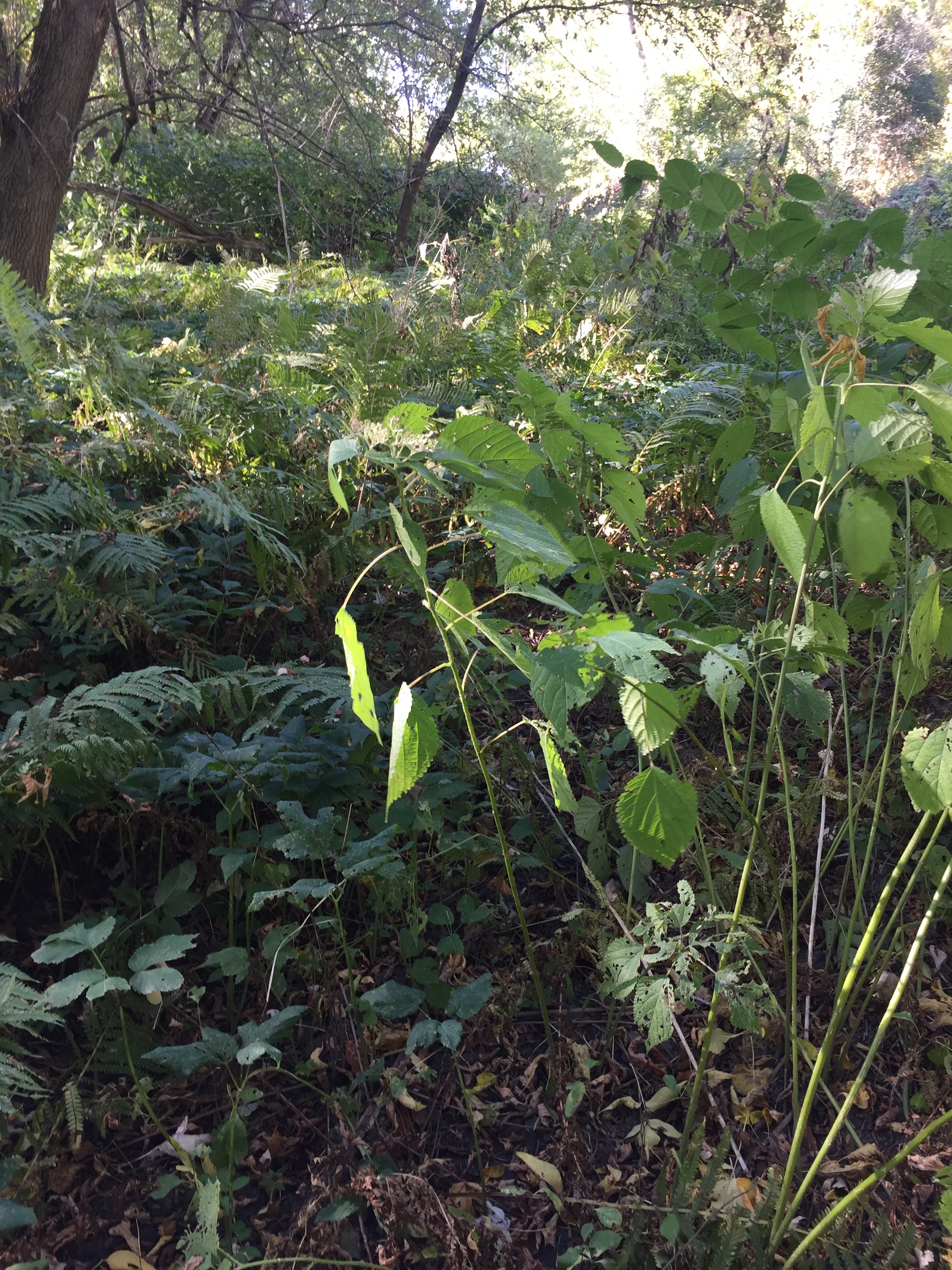
The geographic location is just one aspect of the natural vs cultural world here at my spot. This spot is  Silver Maple-Ostrich fern floodplain, and during this time, poking up from the ground are small fiddleheads. They look absolutely beautiful, as they are a minty green color, with some moisture hanging on after a rain. People love to pick these fiddleheads, as they are used as a delicacy in many places in Vermont. A tradition here is to go out and pick a few fiddleheads, not too many because that would damage the ecosystem, and then cook them in some dish. This is a perfect example of how nature and culture interact in this spot. These plants grow, and people who have a tradition of picking them will go out and harvest them.

Wowzers! Fiddleheads

I often call this geographic location “my spot”, which is odd because the location no way belongs to me. Furthermore, I do not really feel that I give enough to my spot for me to be a part of this area. Yes I will pick up some trash when I see it, but I am not part of the natural community here. If I never went back again the landscape would not know, and would not need to adapt to anything. I would love to say that I was a part of my spot, that I felt as if I were one with my area, but I do not think I have spent nearly enough time there. I will visit this spot in the future because the area is so beautiful, and I think visiting would be nostalgic for me, but I do not think I am apart of it. Mayhaps one day, if I spend more time there.


With this I wrap up my phenology blog. Everything is green, and everything is good. Mayhaps a final poem to leave everyone with:
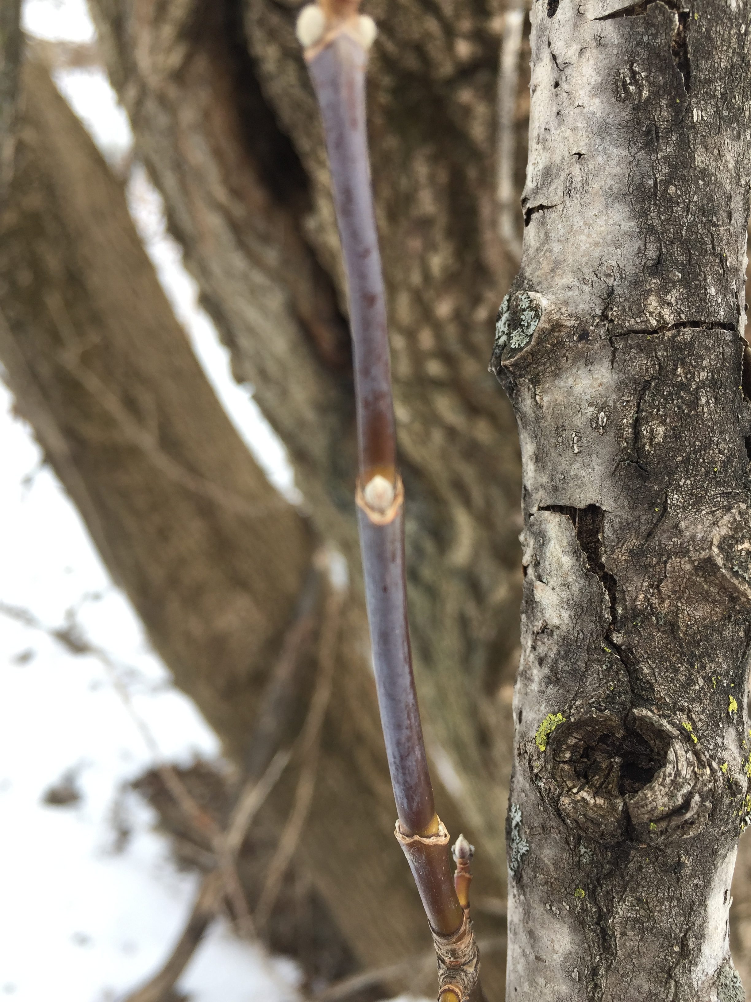
 

The Silver Maples

And the Ostrich Ferns are back

Spring – Rebirth of life

Let me start this blog with a quote,

“Spring’s First Conviction is a wealth beyond its whole experience”

  • Emily Dickinson


Indeed the abundance of life that Spring brings is a wonder too beautiful to really absorb. Everything starts coming to life; the birds return, the trees leaves grow, and different critters start to emerge from the muk. Some of these little critters include a variety of different amphibians, who emerge from the mud and lay eggs, especially in certain areas such as vernal pools.

Now this week, as I crossed over into my spot, once again going through the challenge of fording the river, I noticed something quite interesting. There was in fact a vernal pool near my spot! And now time for a haiku:

Vernal pools – small pond

Appearing seasonally

Crucial for creatures


A vernal pool is crucial for amphibians to reproduce. Sadly, I saw no evidence of any amphibian activity. Perhaps this is because the vernal pool just formed, or maybe the vegetation covered some of the evidence. Speaking of vegetation, there was an abundance of silver maple buds starting to spring forth. The buds littered the ground, likely due to a strong wind, but everything is starting to bloom. There are no wildflowers in our spot, so much as different ferns and shrub type vegetation, which does not seem to be blooming.

Considering landscape ecology, this spot is very small and cut off by a river. The island is not very large, and the length could be walked within a few minutes. There is not so much of an edge effect, as there is only one type of ecosystem, but the area is so small that there is still not enough room for any interior forest species.


A little sketch of a Silver Maple bud

           For the Spring Break phenology Assignment, I returned to the phenology spot I went to over Thanksgiving break. This spot is my town’s town forest, and is build around some wetlands that used to cover all of our town. This town forest was first created in 1930, when over 100,000 different trees, including red and white pine, spruce, and balsam were planted by townspeople and boy scouts. Before this was done, the land was all part of a large wetland, with small islands. Now, the forest is in the middle of an estuary to the Ipswich River, and most of the forest is surrounded by this marsh habitat.  


          Many of the bird species that live here make their homes near the estuary, and can be seen when near the waters. While I was sitting in my spot, I heard a sharp “Tit, tit” bird call, with several breaks in between. I looked, up, and in the highest branch of a dead tree by the water, I saw a red wing black bird. I could tell because of the beautiful and distinct red tip on the bird’s wings. There were several other red wing blackbirds nearby, as well as many gulls flying far overhead. There were other birds flying by, but I could not figure out which birds they were. Also, while I was walking to get to my spot, I heard an owl hooting off in the distance.

A red wing blackbird!

         While at my spot, I noticed the trees were all starting to get larger buds. I live outside of Boston, which has been experiencing slightly warmer weather. The pine trees all looked well, there were not many brown needles that I could see. This means that there had not been a lot of frosts following the recent warm weather. I went to my spot before the nor’easter hit Boston, so I wonder if this was changed after the storm. I also noticed that some of the oaks in the forest, possibly a swamp or a white oak, still had some of their dead leaves, which I thought was odd. Overall, the woody plants at my spot seemed to be in good condition.


Two wild Wolves!


Picture of my Reading Spot


Sources: http://www.readingma.gov/conservation-division/pages/town-forest


My phenological area can best be described as a Silver Maple-Ostrich Fern Riverine Floodplain Forest, which is a natural community in the Northern Green Mountains. This community is characterized by floodwaters that run into several bodies of waters, including the Winooski river, which is the river that runs by our spot. These habitats are also characterized by cold winters and short growing seasons, and include public land such as Mount Mansfield and Camel’s Hump. They are also characterized by high elevation and cool summer temperatures. The area is inhabited by white-tail deer, beavers, and squirrels, all of which I have seen evidence of in the spot. Furthermore, our spot is composed almost entirely of Silver Maples and ferns on the ground, so this type of natural area made sense.


Since I last left our spot, much of the snow has melted, and the river has become significantly larger, in both depth and width. The once small river is now rushing, enough to catch a lot of fallen woody debris against the tree that I usually shimmy across to get to my spot. The ground on the other side is muddier, but there is no collection of water anywhere. The largest difference is that the river is much larger, and the most of the banks have been covered by the stream. I wonder if at some point the water levels will become too high, and the island will flood, making the spot unreachable.


Looking at Biofinder, I learned a few things about the spot. The first one, is this area is labeled as highest priority by the Vermont Conservation Design. The spot is also a class 2 wetland, which explains why the area might be higher priority. This spot is also near a high priority wildlife crossing, which means certain animals could stop there at some point, adding more value to the area. Also, certain rare and uncommon animals species make their habitats right next to the spot, also adding ecological value to the land. Finally, Biofinder showed that my spot is an uncommon Palustrine natural community.


       This weekend, I was able to return to my phenological site after being away for over a month. I noticed several differences, the first of which was the frozen stream that separates my spot from the mainland. Last time I was there, the river was still flowing, but now the river is solid enough to walk across. Another difference is that there is now snow covering all of my area. There is not much, no more than an inch or two, but the snow is still there. There are no signs of human activity on the little island because I think people are too nervous to cross.

My spot in winter!


     Almost as soon as my fellow wildlife trackers and I crossed the frozen stream to our spot, we discovered tracks of an animal that must have also crossed the stream. The tracks followed a galloping pattern, with large rear feet and small front feet. The tracks meandered around the island, going near trees and into the brush. The front feet had three distinct lobes, and the back feet were very long, and also had three distinct toes. Using this information, and the length of the feet, we determined that the tracks belonged to that of a Cottontail Rabbit.

Cottontail Rabbit Tracks!


Ready for your close up!


       Later, when alone in my spot, I saw more tracks. I saw tracks right by the edge of the frozen stream. They were very small and old, but seemed to belong to a bounder. The small critter had a tail, and seemed to disappear under large cracked sheets of ice that had frozen over the land. I would surmise that the tracks belonged to some manner of weasel, especially because I found some holes near the area that seemed to lead to a small subnivean layer below. I also found a lot of crow tracks near my spot. The tracks had the classic three front facing toes, and one pointed back. There were so many of them that I believe they belonged to multiple crows.


A bunch of crow


Mystery track

Subnivean layer hole?? I think maybe!


I also walked around my spot and tried to identify the buds of seedlings growing. There were not many of them in my area, and I could only find buds growing off of large trees that were already there. I was able to find buds from an ash tree, which I think is a green ash. I could tell because of the way the leaf scar formed a crescent shape right below the terminal bud and bud scales. I also found buds that looked like the belong to a maple of some kind, but I could not tell which species. I know most of the trees in my spot are Silver Maples, so I assume the buds were Silver Maples.


Three different buds! (Silver) Maple on the left, and Green Ash in the middle and on the right!


My drawing of one of my buds!

A downed tree – over water

        Deep dark water 

Pulling my – body across

                 Murky water

Stormy Grey – clouds above

                           Please Do Not Fall

An insect – he scurries

                                    I inch along

Nervously – Carefully

                                           Please Do Not fall

The Water – oh so cold

                                                     I inch along

In order – to feel safe

                                                            Please Do not fall

Why did I wear a tie?

When I went to my spot earlier in the week, the depth of the river had grown much higher. Wading through the river was now impossible, even with my trusty Muck Boots. There was, however, a fallen tree, whose trunk spanned most of the river. At the far end of his fallen majesty, there was another dead tree trunk stuck in the mud. This was my path across. I slowly shimmy across the fallen trunk, until eventually I have to stand. I find a long stick trapped against the trunk, and use it for support. Today was a bad day to wear a tie, but luckily my boots saved me, as I was able to jump the last few feet from the end of the tree trunk into shallow water. My spot is now truly an island.

img_3493

As I walk to my spot the ground is very uneven. Every few feet, there are large mounds and indentations in the ground. The landscape reminds me of Richer Mountain. As I continue to walk to my spot, I wonder about the history of this place (partially because I am very curious and partially because this is my assignment). I wonder why the land looks the way it does, why only a certain type of tree are found here, and how people have used this land in the past. There is no real path or point of access to my spot when the river is high, which I crawled along a fallen tree to get here, so I know that people do not really use my spot that much today. Casavant Natural Area, on the other hand, is more used. People mostly use it for long walks, as there are a series of trails around the reserved land that total two miles. There is also a large open field that would be great to have picnics in. Animals use this land for habitat, and I can see proof of animals in my spot as well, as there are deer tracks, as well as recent beaver activity.

img_3499

When I got back to my dorm, I did some research on the history of my site, and really enjoyed a lot of the information that the website has to offer. By looking at an aerial photograph of Burlington taken in 1937 by Sanborn Co., I learned that my spot used to be underwater. The photograph shows that the river was much wider than it is today, and is covering the area where I have been studying the landscape. In the picture, there is a slight discoloration that looks like a smudge, which is where my spot is, you can just barely see the top of the land. There are no large trees or vegetation.

screen-shot-2016-12-10-at-10-20-09-am

1937

screen-shot-2016-12-10-at-10-53-51-am

2016

This is very interesting to me because I had imagined that a hundred years ago my spot was covered with trees. Today, there are a good amount of medium to large trees, but almost no understory. After seeing the uneven landscape, which was made by the roots and stumps of fallen trees, long since decomposed, I assumed that the land was once full of large trees. I now wonder if the landscape started out with small wetland type shrubs, as one can still find today, and I am seeing primary succession unfold. Silver Maple, the predominant tree in my spot, apparently grows very rapidly, at a rate of 3-7 feet per year, which explains why the trees are so large there. The trees are not large because they have been around for a long time, they are large because Silver Maples grow very quickly. Also, as a pioneer species, the Silver Maple is shade intolerant. I think this landscape is going through primary succession, and will look very different in 50 to 100 years.

Another couple of interesting pieces of information Burlington Geographic had to offer included the bedrock geology, surficial geology, and soil types. The bedrock geology of my spot is made up of quartzose and quartzite, and was probably at one point covered by glacial Lake Vermont. The surficial geology was composed of recent alluvium, from the postglacial deposit. The soils are made up very fine, sandy loam, because the area is frequently flooded or saturated by the Winooski River.

Some Final Observations….

There was recent beaver activity on many of the trees near the far banks of the little island. There were also deer tracks, that did not seem very fresh, I assumed a couple days old (but I do not really know what I am looking at). The cold has killed all the shrubs and claimed all the leaves, so the land looks very dormant. I am excited to come back in January and see how the landscape has changed, until then, thanks for reading!

Possible deer tracks

Possible deer tracks

Yay for Beavers!

Yay for Beavers!

Dead Vegetation

Dead Vegetation

img_3500


Sources:

Burlington Geographic. (n.d.). Retrieved December 10, 2016, from http://www.uvm.edu/place/burlingtongeographic/index.html

Geyer, W. A., Dickerson, J. and Row, J. M. 2010. Plant Fact Sheet for Silver Maple (Acer saccharinum L.). USDA-Natural Resources Conservation Service, Manhattan Plant Materials Center, Manhattan, KS 66502.

Over the Thanksgiving break, I journeyed to my hometown (Reading, Massachusetts) and went to the town forest near my house, where I investigated the landscape. While I was there, I made observations as to how the human use had impacted the land and the different kinds of vegetation present.

In my Reading phenology spot, the major hardwoods were Oaks, presumably Northern Red and White. There were also a large amount of reed type shrubs, which I was told were an invasive species, and outcompeted the native cattails. In contrast, the hardwoods in my Burlington spot are silver maples, with different shrubs on the ground.

Northern Rad Oak

Northern Rad Oak

White Oak

White Oak


Both of my spots are surrounded by water. In Burlington, my spot is surrounded by the Winooski river, and the vegetation in this spot looks more like I am in the middle of a forest than by a river. On the other hand, in Reading, my spot is surrounded the Ipswich Watershed, and the vegetation looks as if I am in wetlands.


img_3474


Historically, Reading Massachusetts was a large swamp, as a large portion of the land was a part of the Ipswich river watershed. Reading was founded in 1644, and as people continued to buy land, more and more of the wetlands were destroyed. This town forest often makes me think about the landscape near reading before the colonization of America by the Europeans. The town forest provides a snapshot of what Reading originally looked like; a bog with a small river running through.

img_3482

There were also considerably more signs of animal life in my Reading spot than in Burlington. Looking out from my spot, I saw several bird houses, which were part of an old student’s Eagle Scout project. I also saw what was left of a Beaver dam, a bird’s nest in a young tree by the water’s edge, and a woodpecker on one of the hardwoods. In Burlington, I have only seen sins of birds and beaver activity.

img_3477

Birdhouses in the water

Birds nest in tree

Birds nest in tree


This is a link to a map of the Town Forest pulled off the town’s website:

http://www.readingma.gov/sites/readingma/files/file/file/town_forest_trail_map_11x8.pdf 


Picture of my Reading Spot

Picture of my Reading Spot

Since I was last at my place, the leaves have almost completely fell from the trees. Furthermore, the river has risen even higher, and crossing to my spot has become a challenge. I had to take off my shoes and roll up my pants over my knees so that my pants would not get wet. Also, the shrubs on the ground are starting to turn brown.

Haiku: The River

A Growing River,

Covering the mud and tracks,

Really hard to cross.


Haiku: The Beaver

A tree without bark,

At the base around head height

A beaver was here.


Haiku: Unknown Shrub

Hello mister shrub,

What kind of species are you?

Maybe poison ivy…


My Event Map

My Event Map!


Hey everyone!

This is a drawing of my spot from a arial point of view.

This is a drawing of my spot from a arial point of view.

I drew a picture of my spot from a bird’s eye view. In the picture I included prominent features such as the large Green Ash tree, a large clump of tall shrubs, and the river that separates my spot from the mainland.

In the week since I had last visited my site, water levels in the dry river bed had risen by almost two feet. This made crossing over to my spot slightly more challenging, as well as impacting some of the vegetation. There were some areas on the river bed where grass and some weeds had been growing, but now a lot of that area has been covered by the water. Furthermore, a lot more of the leaves on the trees have started to turn and more have fallen on the ground. When I went last week, most of the leaves were still green, but there is definitely some color now. The underlying foliage still looks the same as it did last week.

There is some solid evidence of wildlife using this area as a habitat. There seems to be a used deer bed in my location, as well as some scat near the bed. The scat looks somewhat older, so I do not think there were any deer there for a couple of nights, but it still seems that deer come through this spot. Also, along the shoreline, there is a lot of evidence of beaver activity. Many of the large trees have beaver teeth marks all around the base of the tree. The marks go at least an inch into the tree, but do not look very recent. I have also seen bird poop on the ground under the Ash tree on my site, which tells me that birds use that tree in some capacity. Overall, there is definitely a lot of wildlife in my spot, and I am excited to see more!


This is a picture of the deer bed near my spot!

This is a picture of the deer bed near my spot!


Thats all for now,

More to come in the future

From the desk of Colin Brown Esq.

Getting There:

My spot is in the middle of Casavant Natural Area, right near Winooski. In order to get there, I need to take a bus from the UVM Medical Center to Winooski, and then walk five minutes along the Winooski river to get to the forest. Once inside the natural area, I walk for another minute and then I cross a small river, which is part of the Winooski and at this point in the year is very low, to get to a small island. After crossing the stream, I walk along the muddy bank for about fifty yards and then climb up the bank to get to my spot.


img_3356

A mostly dry river bed that I need to cross to get to my spot

img_3330

Standing at my spot looking over the bank


Why I Chose this Spot:

My spot is on the edge of the bank and the island, and is surrounded by some trees and a lot of shrubbery. I chose this spot because the vegetation is beautiful and luscious, and is also near the the river, which I think will be interesting to observe in the spring.


img_3332

This is my the view from my spot facing the small island. This is why I chose my spot.

Vegetation:

The vegetation in my spot consists mostly of shrubbery, with a few large trees. There are almost no small trees, only medium to large trees. There are only two types of woody vegetation in my area, Green Ash and Silver Maple. The Green Ashes grow closer to the bank and are covered with ivy. The entire ground is completely covered with shrubs that almost come up to my ankles. Some the shrubs are ferns, but most of them are a species that I have not been able to identify yet. Within a few feet of the river bank, the vegetation changes, and taller shrubs that come up to my stomach take over. There are also a few large patches of tall leafy shrubs that are about a foot taller than me. These patches are very curious because they only grow in large clusters near the river bed.


img_3336

The Green Ash is one of the two tree species in my spot

This shows the change in vegetation a few feet from the edge of the bank.

This shows the change in vegetation a few feet from the edge of the bank.

This is a picture of the tall shrubs that are only found clumped together.

This is a picture of the tall shrubs that are only found clumped together.


Where to Find This place

https://drive.google.com/open?id=1FUjakeFYt8TUNy-evO3pSQtXofk&usp=sharing

Skip to toolbar