A downed tree – over water
Deep dark water
Pulling my – body across
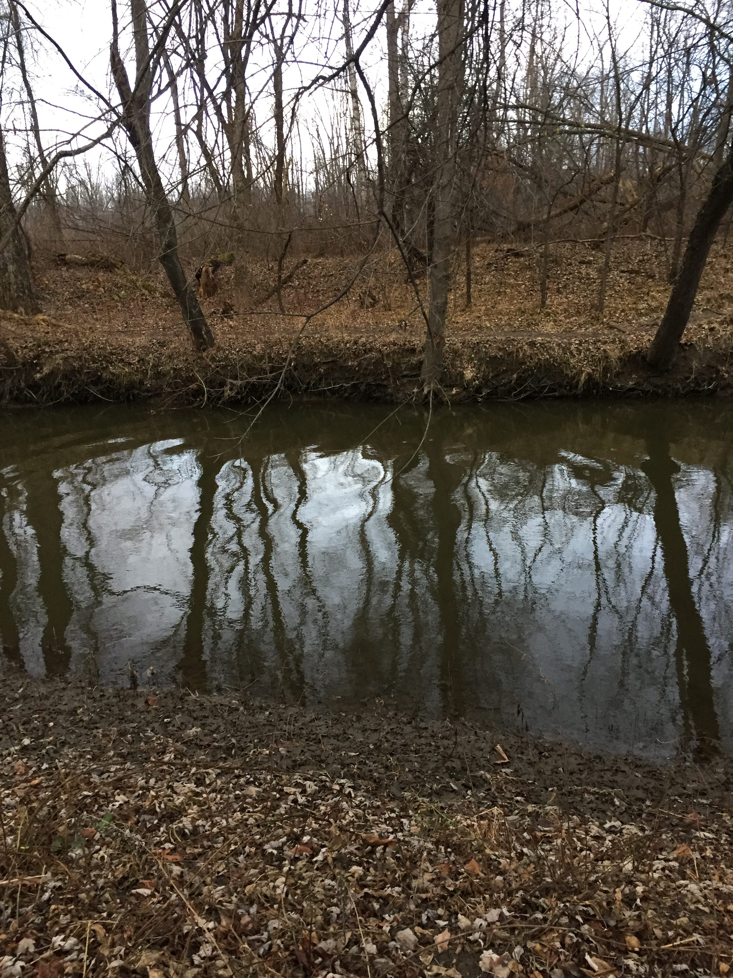
Murky water
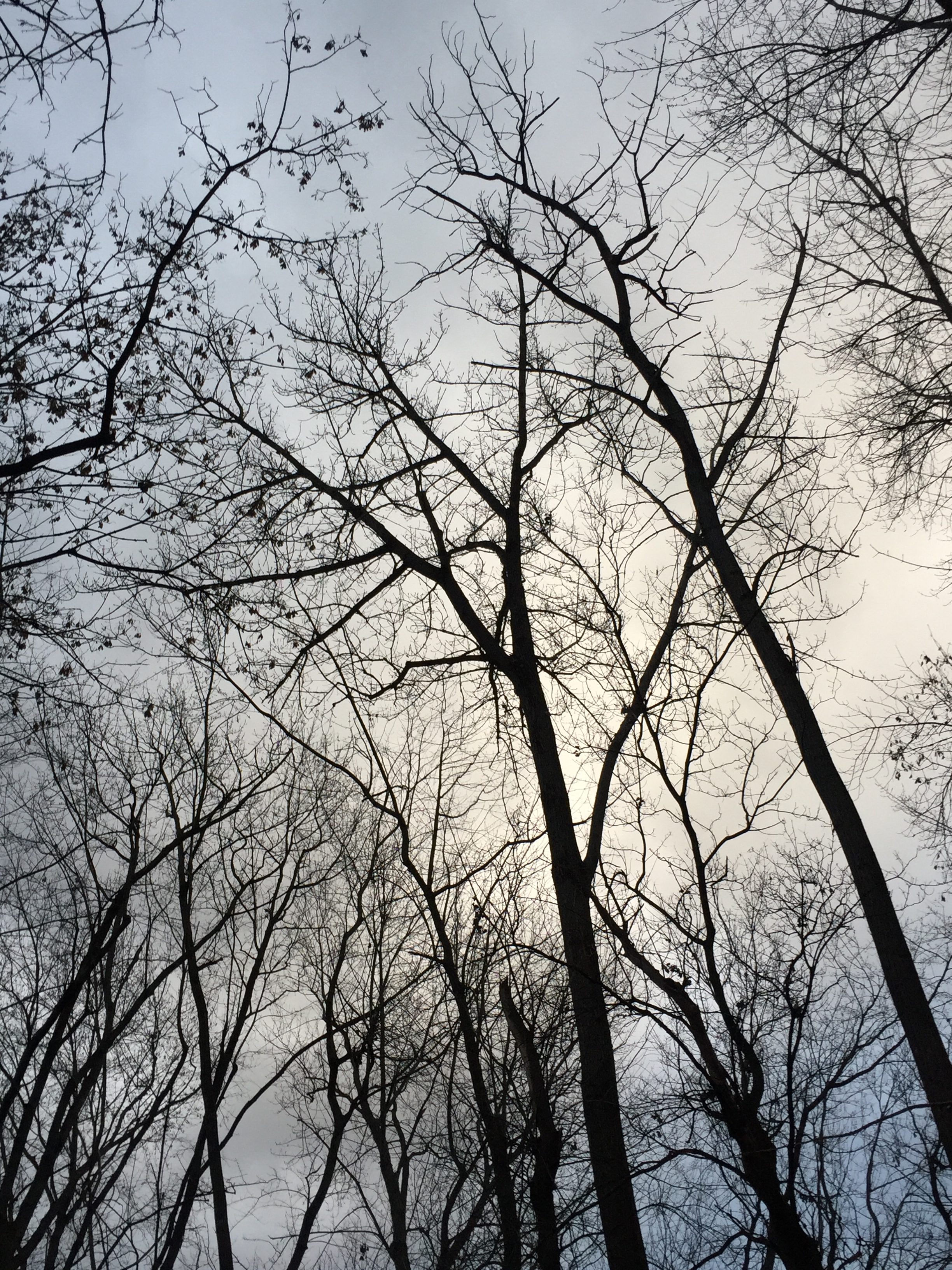
Stormy Grey – clouds above
Please Do Not Fall
An insect – he scurries
I inch along
Nervously – Carefully
Please Do Not fall
The Water – oh so cold
I inch along
In order – to feel safe
Please Do not fall
Why did I wear a tie?
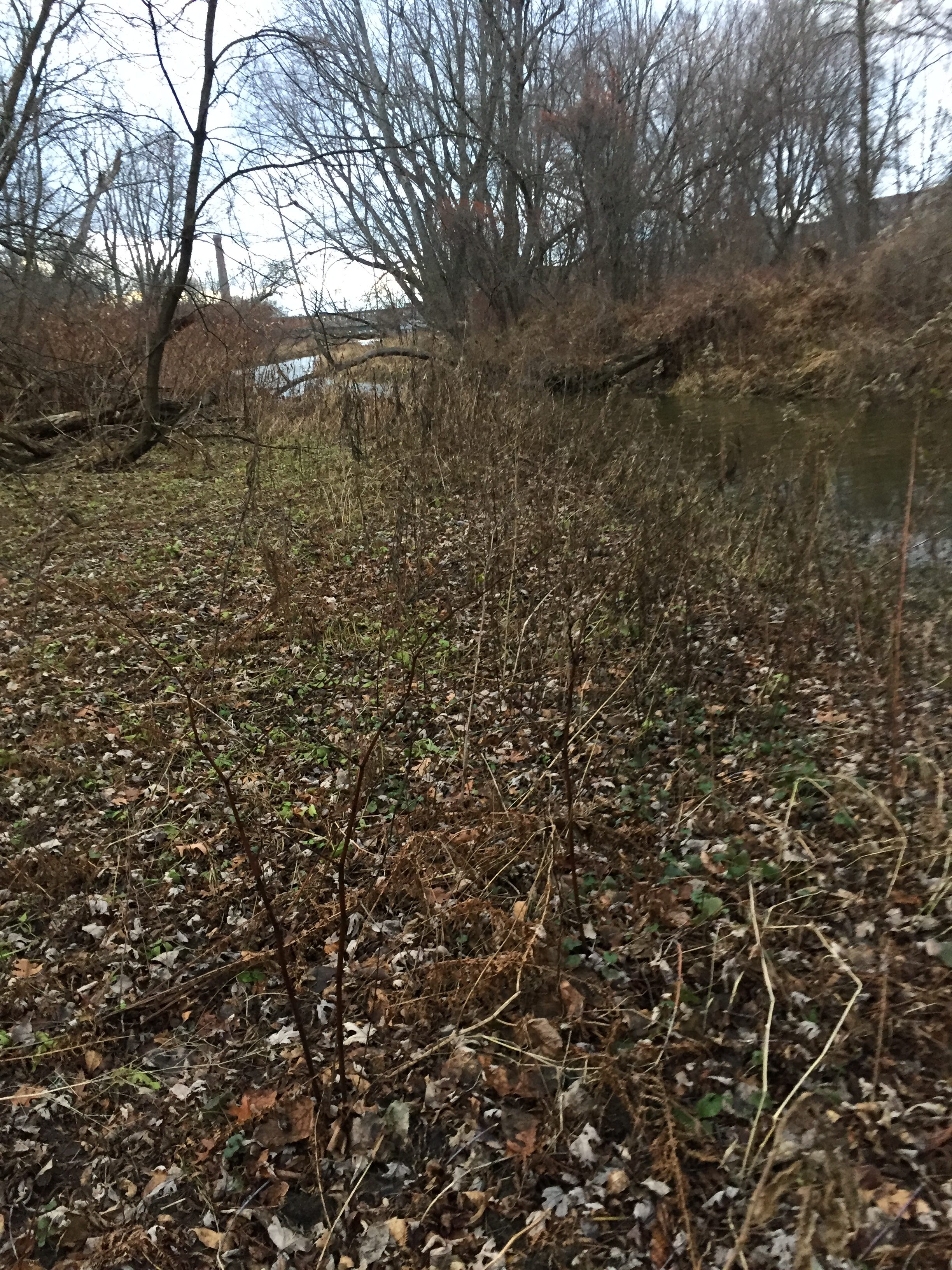
When I went to my spot earlier in the week, the depth of the river had grown much higher. Wading through the river was now impossible, even with my trusty Muck Boots. There was, however, a fallen tree, whose trunk spanned most of the river. At the far end of his fallen majesty, there was another dead tree trunk stuck in the mud. This was my path across. I slowly shimmy across the fallen trunk, until eventually I have to stand. I find a long stick trapped against the trunk, and use it for support. Today was a bad day to wear a tie, but luckily my boots saved me, as I was able to jump the last few feet from the end of the tree trunk into shallow water. My spot is now truly an island.
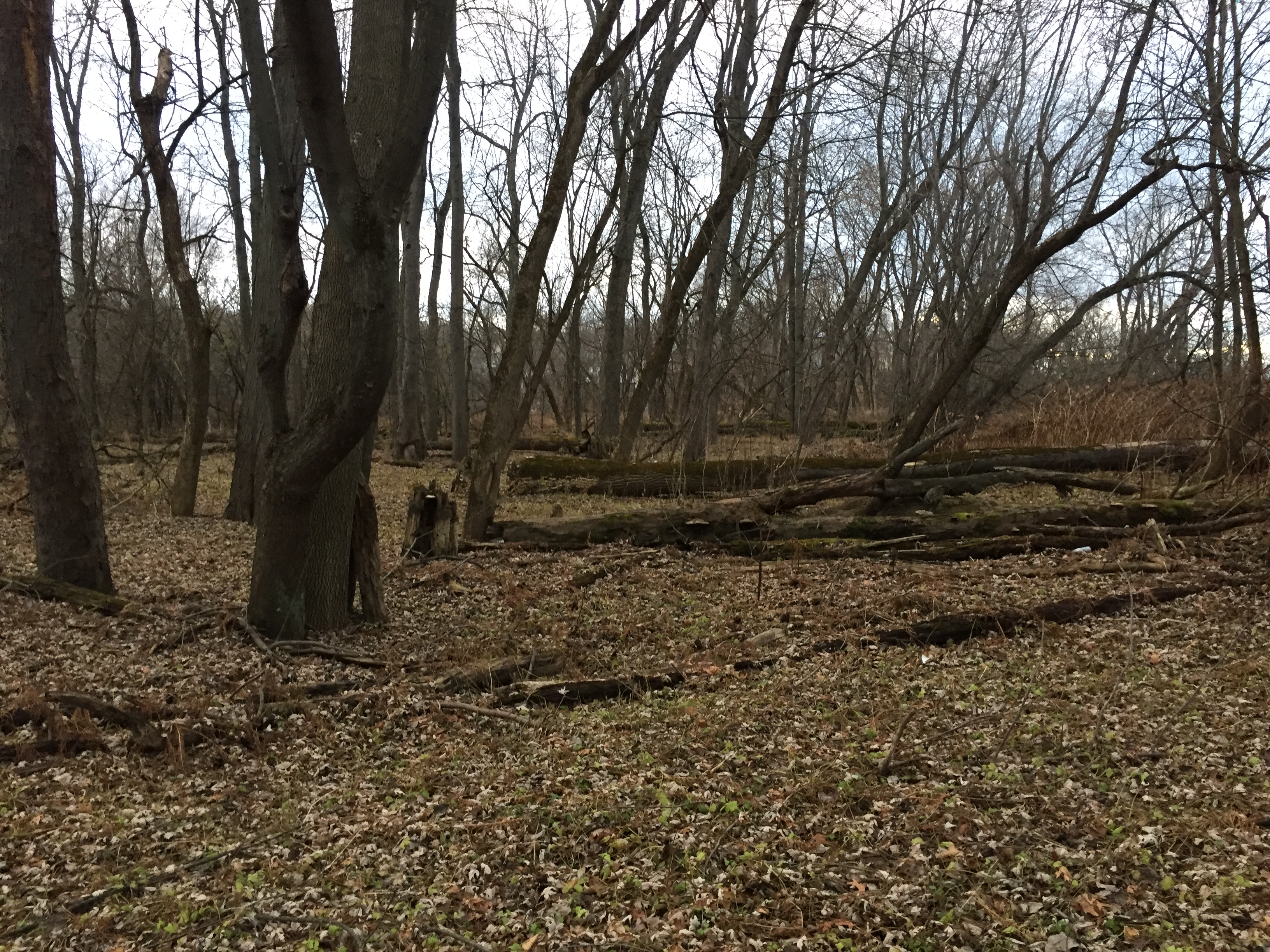
As I walk to my spot the ground is very uneven. Every few feet, there are large mounds and indentations in the ground. The landscape reminds me of Richer Mountain. As I continue to walk to my spot, I wonder about the history of this place (partially because I am very curious and partially because this is my assignment). I wonder why the land looks the way it does, why only a certain type of tree are found here, and how people have used this land in the past. There is no real path or point of access to my spot when the river is high, which I crawled along a fallen tree to get here, so I know that people do not really use my spot that much today. Casavant Natural Area, on the other hand, is more used. People mostly use it for long walks, as there are a series of trails around the reserved land that total two miles. There is also a large open field that would be great to have picnics in. Animals use this land for habitat, and I can see proof of animals in my spot as well, as there are deer tracks, as well as recent beaver activity.
When I got back to my dorm, I did some research on the history of my site, and really enjoyed a lot of the information that the website has to offer. By looking at an aerial photograph of Burlington taken in 1937 by Sanborn Co., I learned that my spot used to be underwater. The photograph shows that the river was much wider than it is today, and is covering the area where I have been studying the landscape. In the picture, there is a slight discoloration that looks like a smudge, which is where my spot is, you can just barely see the top of the land. There are no large trees or vegetation.
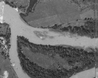
1937
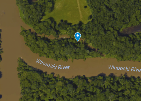
2016
This is very interesting to me because I had imagined that a hundred years ago my spot was covered with trees. Today, there are a good amount of medium to large trees, but almost no understory. After seeing the uneven landscape, which was made by the roots and stumps of fallen trees, long since decomposed, I assumed that the land was once full of large trees. I now wonder if the landscape started out with small wetland type shrubs, as one can still find today, and I am seeing primary succession unfold. Silver Maple, the predominant tree in my spot, apparently grows very rapidly, at a rate of 3-7 feet per year, which explains why the trees are so large there. The trees are not large because they have been around for a long time, they are large because Silver Maples grow very quickly. Also, as a pioneer species, the Silver Maple is shade intolerant. I think this landscape is going through primary succession, and will look very different in 50 to 100 years.
Another couple of interesting pieces of information Burlington Geographic had to offer included the bedrock geology, surficial geology, and soil types. The bedrock geology of my spot is made up of quartzose and quartzite, and was probably at one point covered by glacial Lake Vermont. The surficial geology was composed of recent alluvium, from the postglacial deposit. The soils are made up very fine, sandy loam, because the area is frequently flooded or saturated by the Winooski River.
Some Final Observations….
There was recent beaver activity on many of the trees near the far banks of the little island. There were also deer tracks, that did not seem very fresh, I assumed a couple days old (but I do not really know what I am looking at). The cold has killed all the shrubs and claimed all the leaves, so the land looks very dormant. I am excited to come back in January and see how the landscape has changed, until then, thanks for reading!
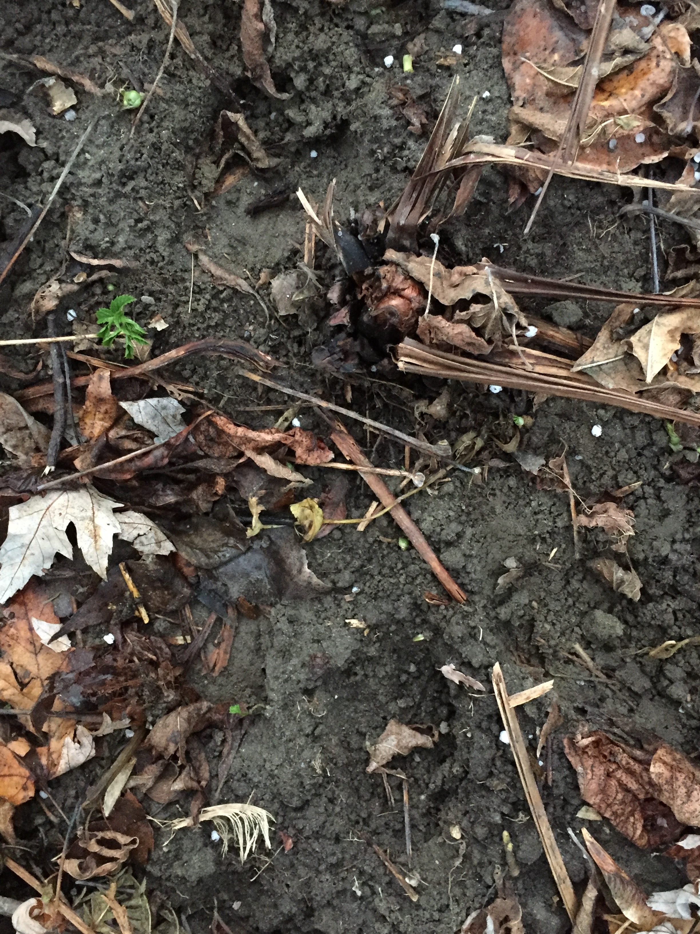
Possible deer tracks
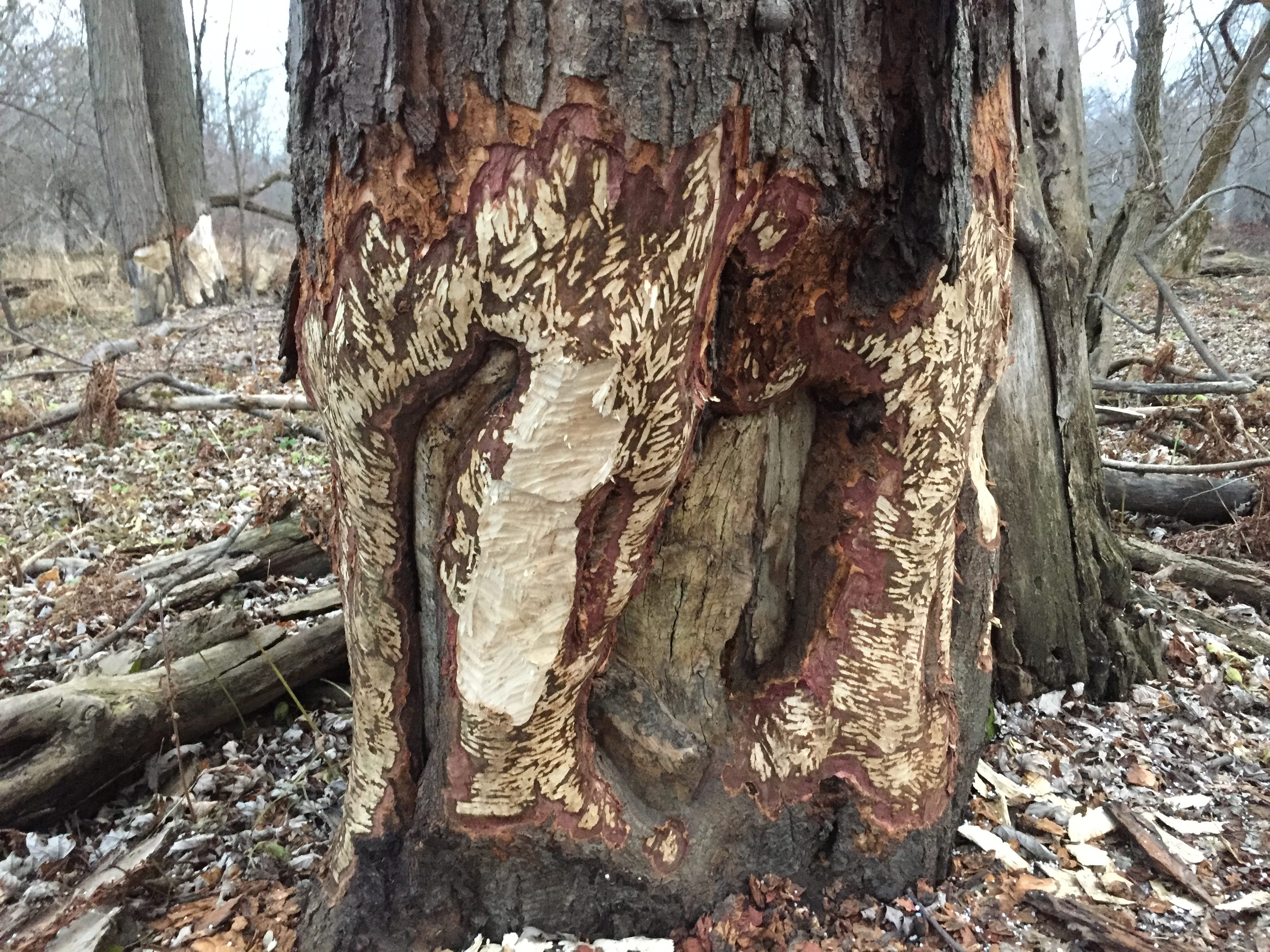
Yay for Beavers!
Dead Vegetation
Sources:
Burlington Geographic. (n.d.). Retrieved December 10, 2016, from http://www.uvm.edu/place/burlingtongeographic/index.html
Geyer, W. A., Dickerson, J. and Row, J. M. 2010. Plant Fact Sheet for Silver Maple (Acer saccharinum L.). USDA-Natural Resources Conservation Service, Manhattan Plant Materials Center, Manhattan, KS 66502.
« There and Back Again: An Environmental Science Student’s Tale Tracking and Buds »