My phenological area can best be described as a Silver Maple-Ostrich Fern Riverine Floodplain Forest, which is a natural community in the Northern Green Mountains. This community is characterized by floodwaters that run into several bodies of waters, including the Winooski river, which is the river that runs by our spot. These habitats are also characterized by cold winters and short growing seasons, and include public land such as Mount Mansfield and Camel’s Hump. They are also characterized by high elevation and cool summer temperatures. The area is inhabited by white-tail deer, beavers, and squirrels, all of which I have seen evidence of in the spot. Furthermore, our spot is composed almost entirely of Silver Maples and ferns on the ground, so this type of natural area made sense.
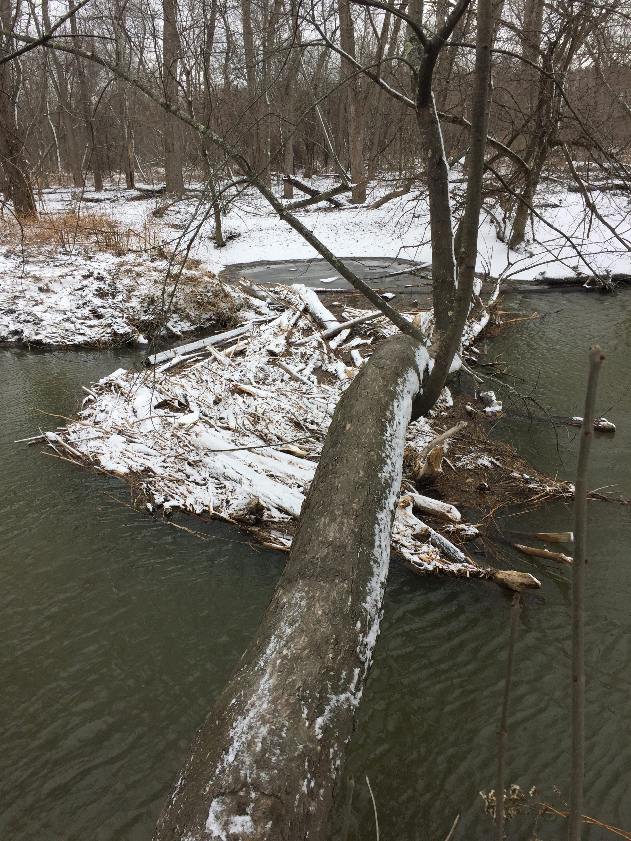
Since I last left our spot, much of the snow has melted, and the river has become significantly larger, in both depth and width. The once small river is now rushing, enough to catch a lot of fallen woody debris against the tree that I usually shimmy across to get to my spot. The ground on the other side is muddier, but there is no collection of water anywhere. The largest difference is that the river is much larger, and the most of the banks have been covered by the stream. I wonder if at some point the water levels will become too high, and the island will flood, making the spot unreachable.
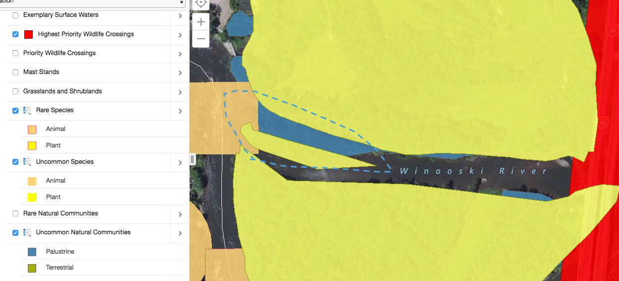
Looking at Biofinder, I learned a few things about the spot. The first one, is this area is labeled as highest priority by the Vermont Conservation Design. The spot is also a class 2 wetland, which explains why the area might be higher priority. This spot is also near a high priority wildlife crossing, which means certain animals could stop there at some point, adding more value to the area. Also, certain rare and uncommon animals species make their habitats right next to the spot, also adding ecological value to the land. Finally, Biofinder showed that my spot is an uncommon Palustrine natural community.