To supplement my own hypotheses of how Lone Rock Point may have existed prior to my visits, I did some research on the Burlington Geographic Website.
The exposed dusty, yellow bedrock that I noticed lining the lake on my site is calcium and magnesium rich limestone that is called Dunham Dolostone. This rock was formed from the calcium carbonate shells of aquatic animals that lived at the bottom of the Iapetus Ocean 500 million years ago. It makes sense that Dolostone is the bedrock on Lone Rock Point as it is dominated by Northern White Cedars, a tree that does best in mineral rich soils. 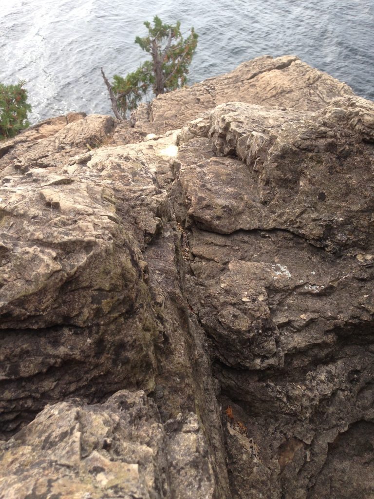
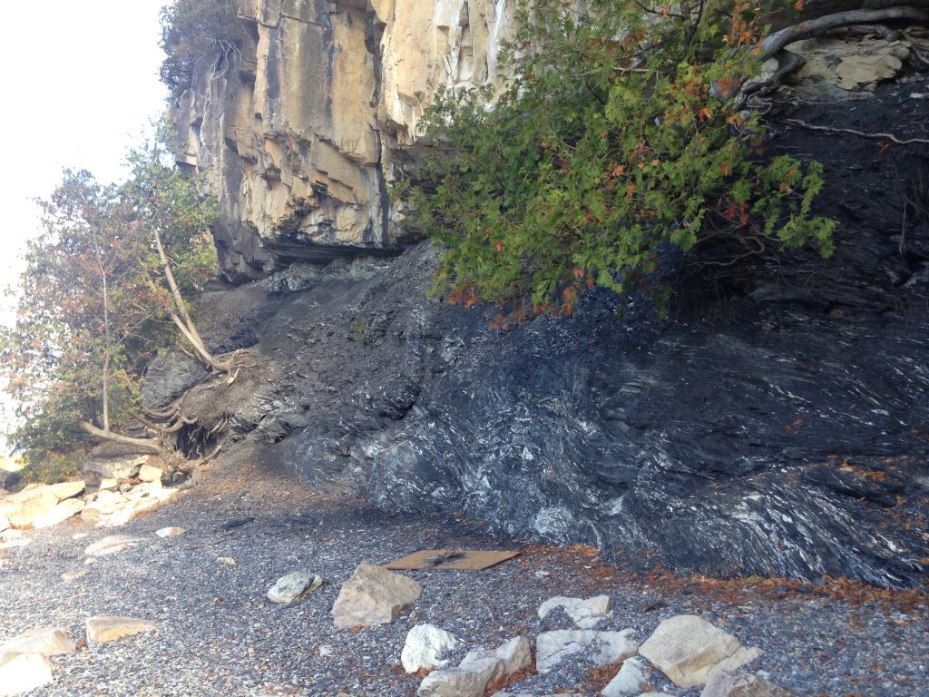
The Champlain Thrust Fault that I visited once on Lone Rock Point, a site fairly close to my spot, evidently attracts visitors from all over the world. It showcases the unusual phenomena of the older Dunham Dolostone rock on top of the younger Iberville Shale rock. This inversion happened during the Taconic Orogeny. This is not an uncommon occurrence but the Champlain Thrust Fault is one of the only faults of this type in which the fault lies exposed.
In more recent history, the land on Lone Rock Point is suspected to have been commonly visited by the Abenaki people before European settlement of Vermont. In the mid-1880s the south side of Lone Rock Point was cleared by loggers but the north side was still mostly forested, dominated by hemlocks. Episcopal Bishop John Henry Hopkins purchased the land and built a home on its high point in 1841. His family practiced subsistence agriculture and some of the point was cleared for pasture land. This explains why the forests on the land seem to be younger growth, aligning with the trend among other forested land in Vermont. In 1860, the Trustees of the Vermont Episcopal Institute built a seminary for boys on the land. Today, the land is still privately owned by the Episcopal Church of Vermont yet is commonly visited by the broader Burlington community.
(Original Photographs Copyright Colby Bosley-Smith, 2016)