Nestled along the Southern shore of Long Island, NY lies a series of barrier islands. With six in total, there is no definitive explanation for their formation but three main theories. The off-shore bar theory proposes that waves stir sediments from the sea floor that are deposited in a bar formation back along the floor, eventually accumulating enough to protrude out of the water and form an island. The split accretion theory suggests that breaker waves stir coastal sediments to form a split, or a barrier island attached to the mainland at one end. Over time, waves and storms would break this split to form a true barrier island. The submergence theory suggest that mainland wetlands are flooded and waves form beach ridges that stick out of the water, creating an island. Being that studies have disproved the first theory, the second or third theory are most likely how Long Island’s Barrier Islands were formed.
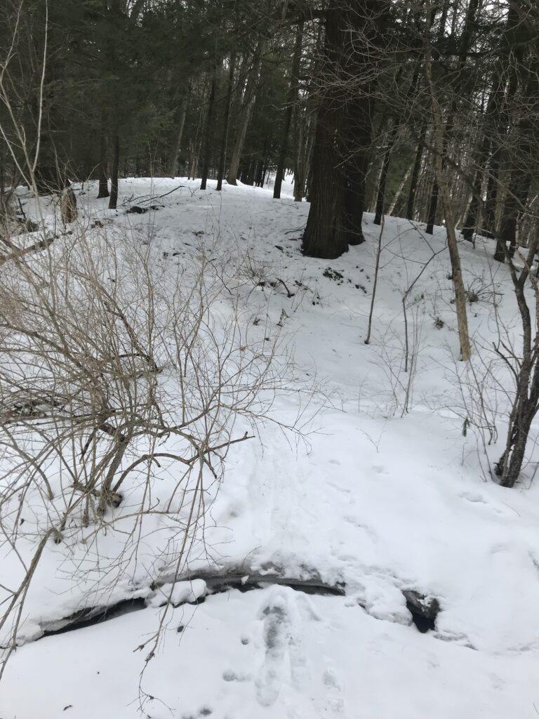
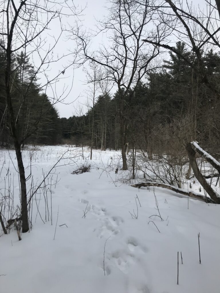
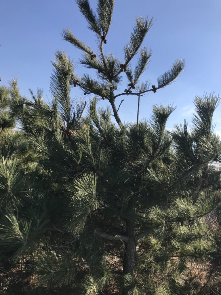
One particular barrier island is of critical importance to Long Island’s ecosystem because it contains both a state park and a national seashore. Fire Island, the largest, most central barrier island contains both Fire Island National Seashore and Robert Moses State Park. With no direct access to the Seashore, visitors must park in Robert Moses State Park and travel along a boardwalk until one hits the Fire Island Light House and Museum. This board walk takes visitors through woodland beach ecosystems and marshlands, and it is where the majority of my observations came from. Being that this is a beach and marshland ecosystem, very few plants were those which could be found in Vermont, so i had some difficulty identifying them. Throughout the walk I only noted three distinct woody plant species, with the rest being grasses and non-woody plants. The only species I am 100% certain on is Pitch Pine. The other two species I noticed I could not identify nor find any information on in my post-trip research. When walking through the marshland parts there was an abundance of phragmites and marsh grasses but no woody plants.
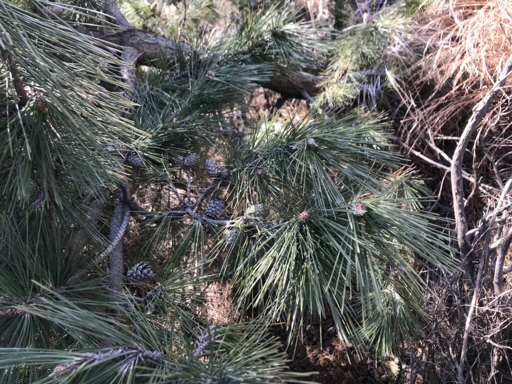
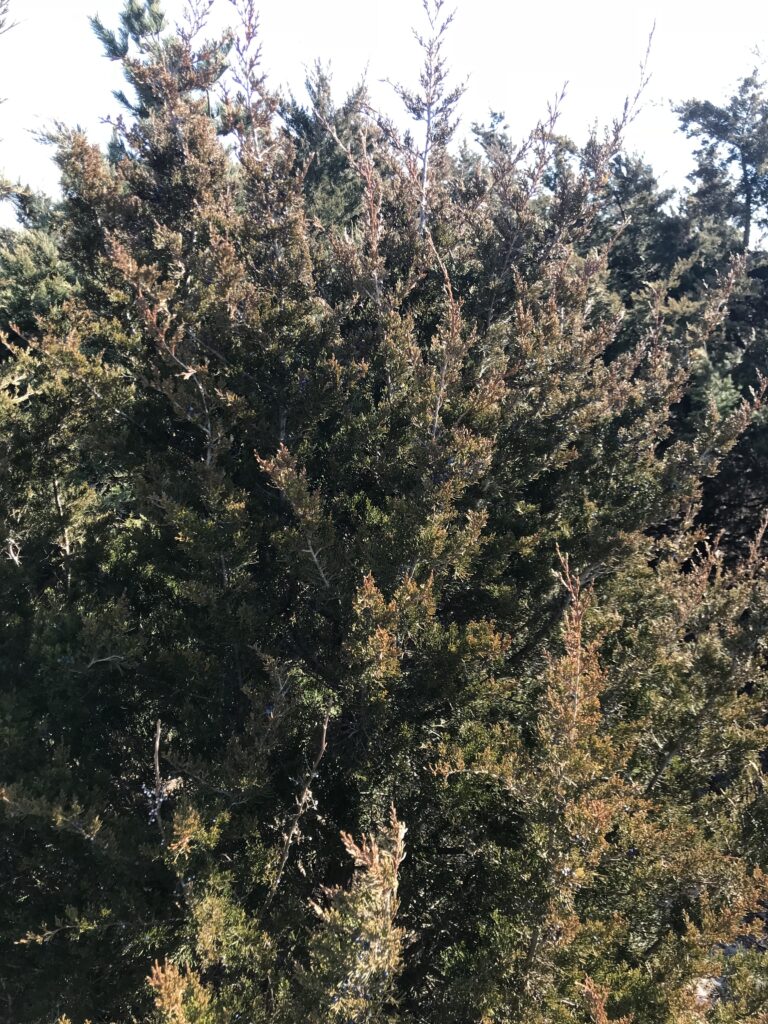
Pitch Pine
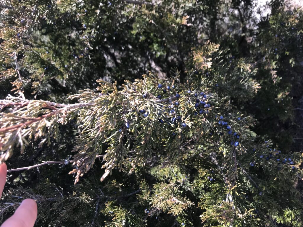
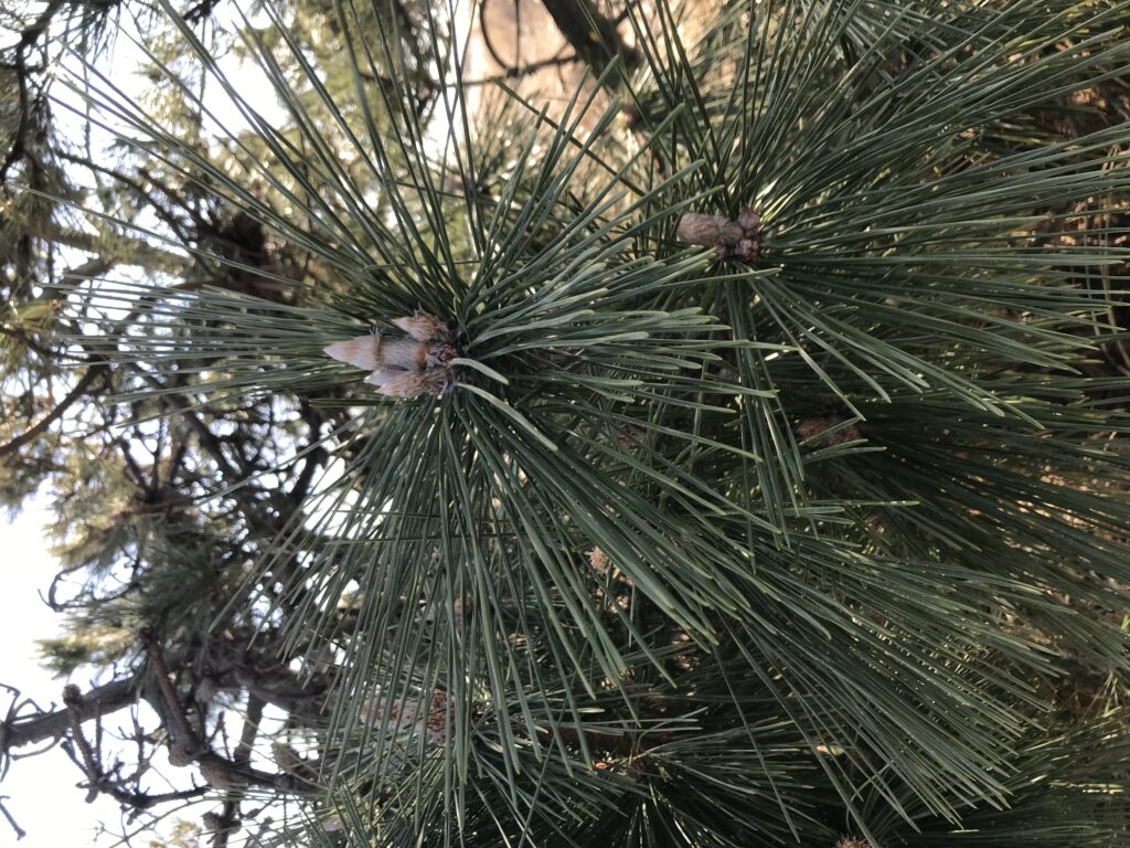
Unidentified Species 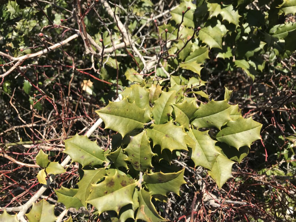
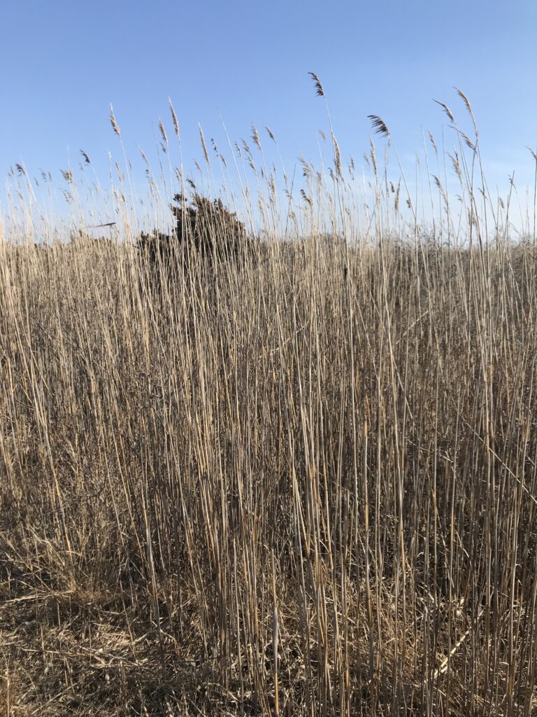
Phragmites on the Marshland 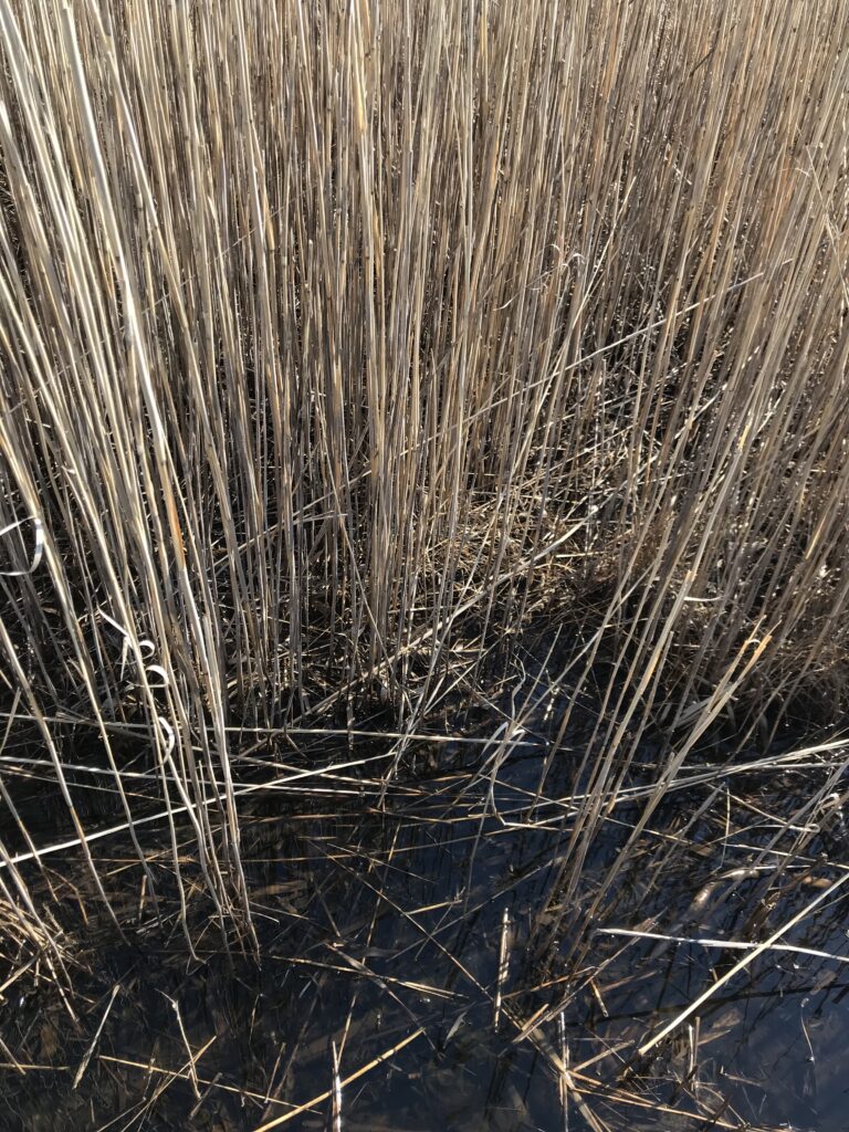
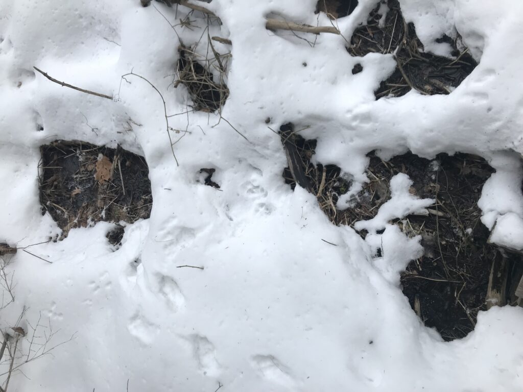
Apart from plants, I was also looking for any signs of wildlife along the boardwalk. Having barely even entered the boardwalk, I already observed tracks in the sand that most likely belonged to a deer. The tracks were large, and appeared to be a hoof with two toes. With deer being the only wild ungulates in the area, the tracks must have belonged to one. Additionally, I observed a pile of scat in proximity to these tracks, most likely also belonging to a deer. Although we did not see any deer in the park, we saw some on the side of the highway when we were leaving. Additionally, I was also on the lookout for any new bird species. However, the only birds i really saw were seagulls, which is most certainly not a new species.
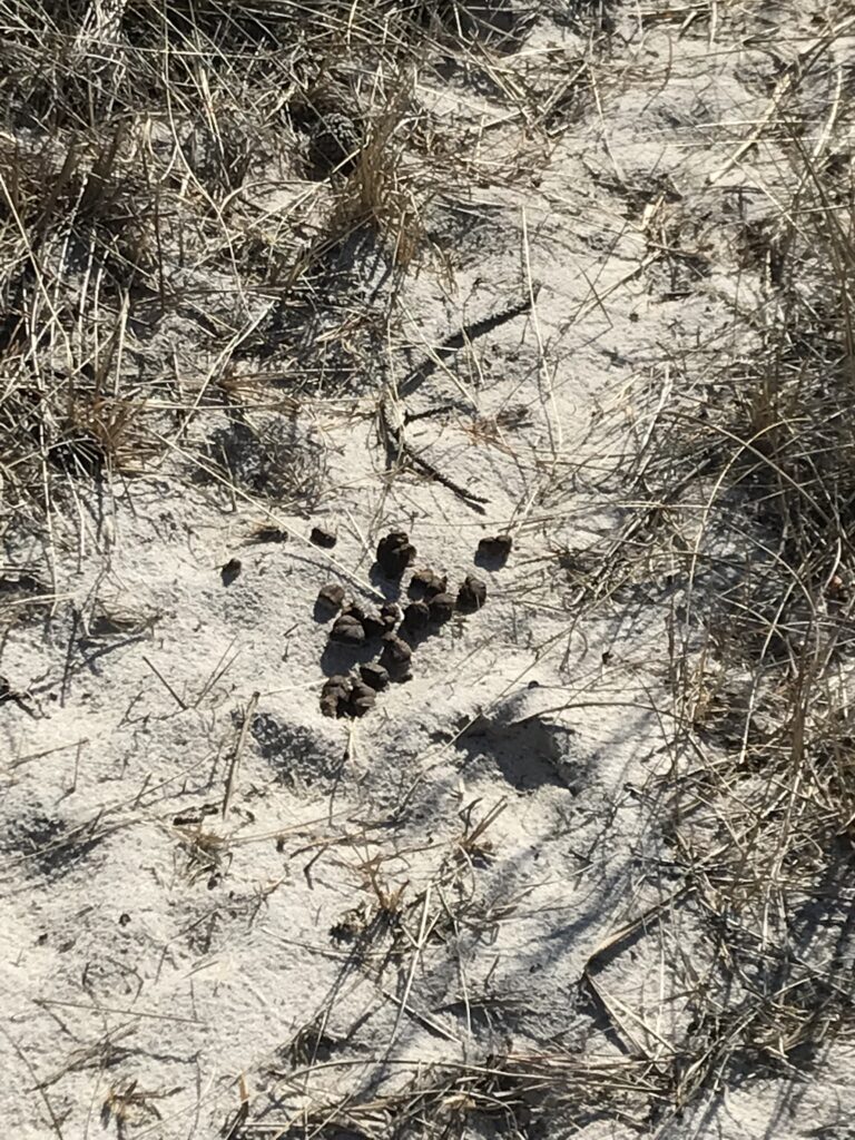
Supposed deer scat 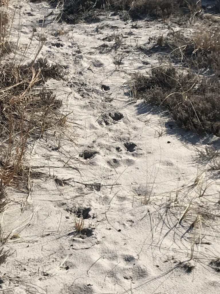
Supposed deer tracks
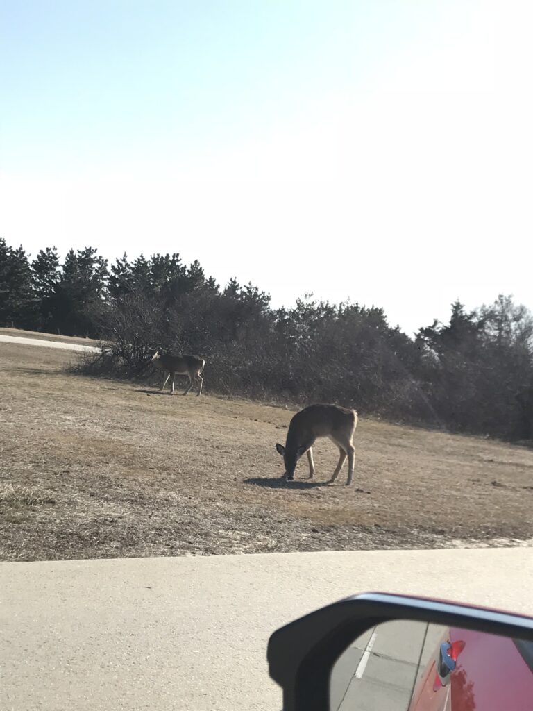
Deer 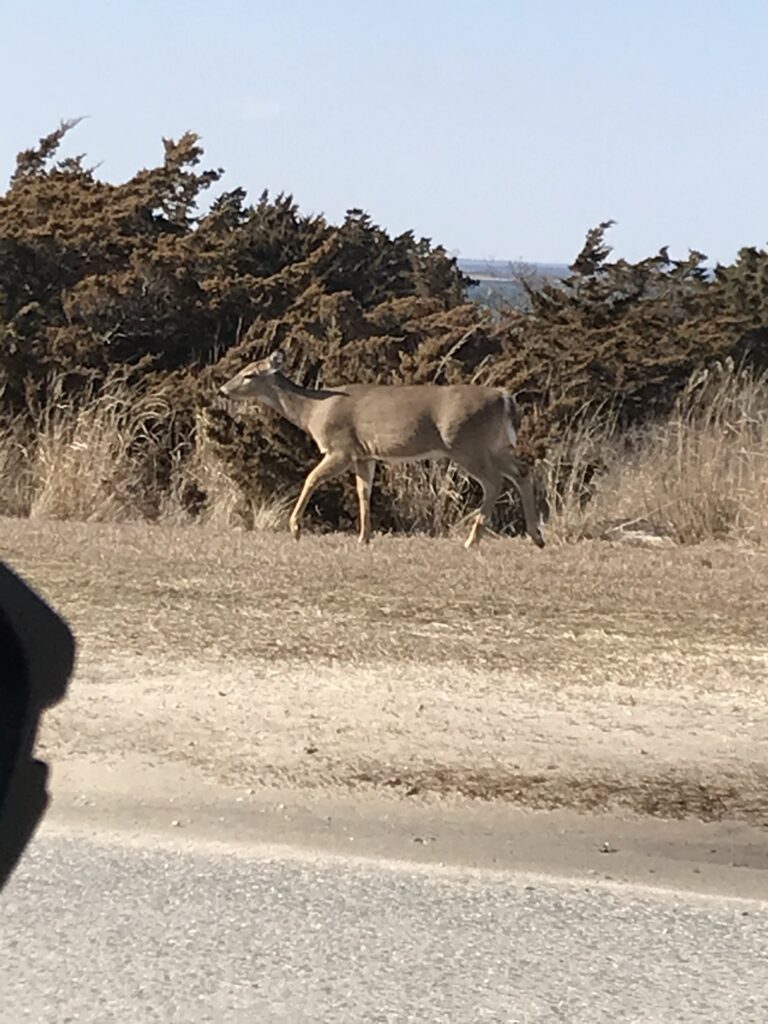
After reaching the end of the boardwalk, we continued our walk onto the Fire Island National Seashore. Although there were no plants for me to identify here, there were definitely signs of wildlife. This includes broken shells on the hard surfaces, as many shore birds drop shelled mollusks on hard surfaces to access the meat inside. Additionally, I found some blue crab claws and carcasses. As there was not nearly as much to look at on the beach, I also took this as an opportunity to pick up some trash including a few cans, some straws, lots of single use plastic and a sandal.
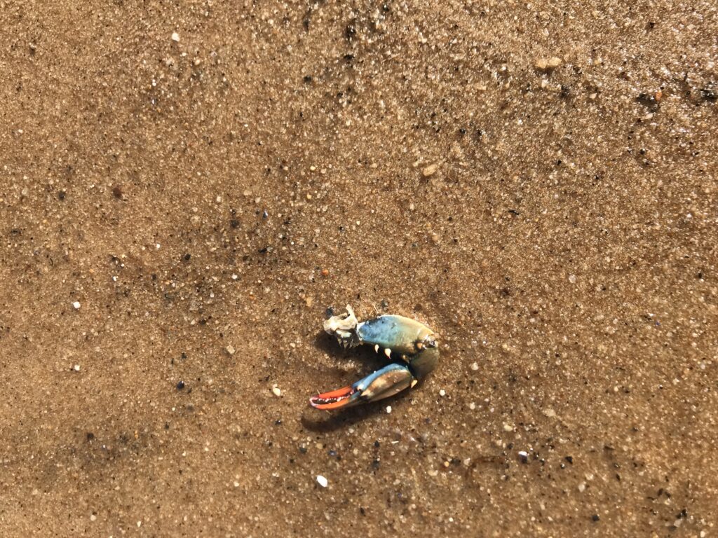
Blue Crab Claw 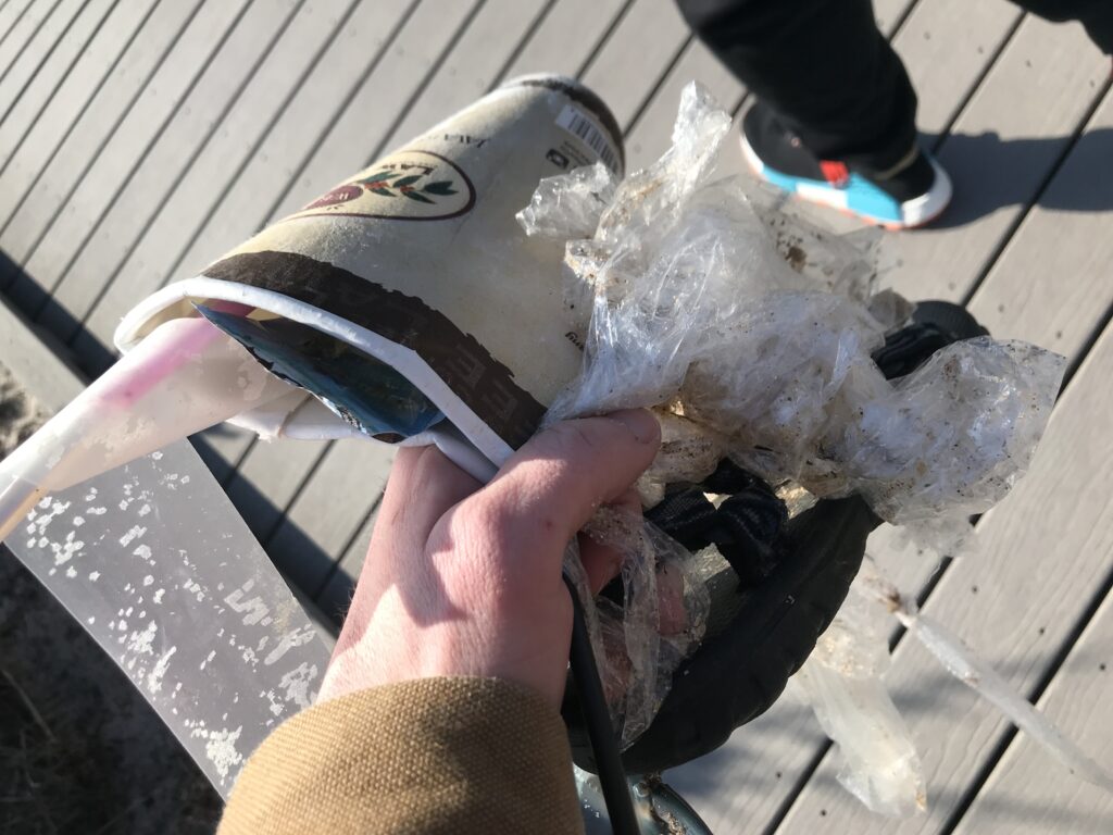
Collected trash