March 8th Update
Burlington is located within the Champlain Valley Region which is differentiated from other regions by clay soils and limestone sands which were deposited out of the remnants of glaciers and Lake Vermont. This is responsible for the natural communities which prosper from the calciferous soils deposited from ancient fossils of shellfish and other creatures which resided in the lake. My particular patch of the woods is a small patch. This is an upland community, located on the top of a slope which leans into a ravine. This means that the soil is well drained and will not become heavily saturated with water unless there is a lot of precipitation.
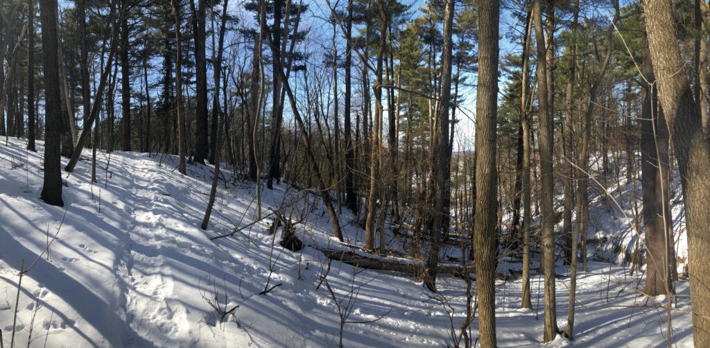
I noticed a lot of new tracks while I visited the woods. There was a weasel track which is one I have never seen before. I also saw a large nest and a very bent tree which I thought were interesting. I tried to take note of the dominant tree species in the area but this was difficult to do because there is such a variety. Some species were red and sugar maple, oaks, american beech, paper and yellow birches, white pine, and possibly hickory. This leads me to believe the best community designation would be a Northern Hardwood Forest. There is a clear domination of hardwoods, with significantly few pines. Since my last visit, there is a bit more snow. I selected a new spot this semester, so there has not been much change I can notice. I wonder if the ravine fills with water at all during the spring due to change in elevation. The uphill area I walked through presumably stays drier, for the reason I mentioned in the prior paragraph.